Elevation of 11 Coastal Walk, St Marys, GA, USA

Location: United States > Georgia > Camden County > Saint Marys >

Longitude: -81.609662

Latitude: 30.781165

Elevation: 6m / 20feet

Barometric Pressure: 101KPa

Elevation Map:

elevation map of 11 Coastal Walk, St Marys, GA, USA
Satellite Map:

Satellite map of 11 Coastal Walk, St Marys, GA, USA

Related Photos:

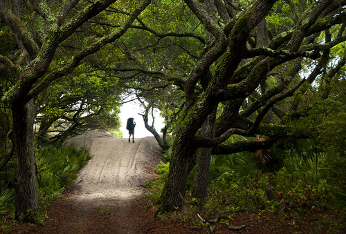
trees green nature fairytale forest nps hiking backpacking maritime liveoak vegetation gnarly verdant lush backpacker cumberlandisland twisty georgiacoast enchantedwoods cumberlandislandnationalseashore walkintothewater
step into the light
trees sky nature water clouds georgia afternoon thunderstorm marsh hdr whiteoakcreek thepres6 adamsviews
Augusts Showers
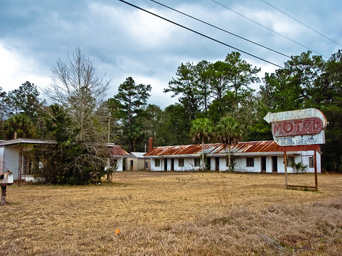
abandoned geotagged motel americana fl roadside 2010 souveniers geo:lat=30735911 geo:lon=81687889
DON'T FORGET THE SOUVENIRS
abandoned sign geotagged motel palmtree fl roadside 2010 geo:lat=30735911 geo:lon=81687889
BORDER MOTEL
georgia unitedstates florida stmarys yulee
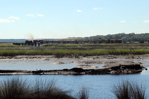
View from St. Marys Steam Express
life bridge trees sky reflection nature water grass clouds thunderstorm marsh hdr stmarysriverflorida
Crossing Into Florida II
trees grass georgia chopper steel heavymetal submarine usnavy hdr hdri stmarys subbase subkingsbay
Two Generations Of Steel
morning beach silhouette sunrise ga georgia dawn buds predawn atlanticocean cumberlandisland
the last to know
camping tree ga tent cumberlandisland campsite stafford catsmeow tentsite firstpacktripwithtimsincecollege
cat's meow campsite
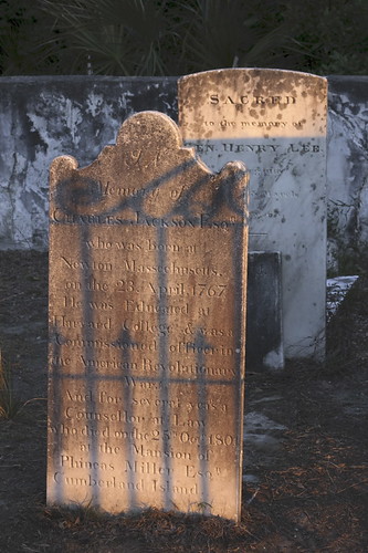
georgia island december cumberland 2010
Grave at Sunset
moon clouds bay submarine full kings missile naval base canon5dmkii swflant 2470mm28lii
SWFLANT_Glow_IMG_8912 View full screen.
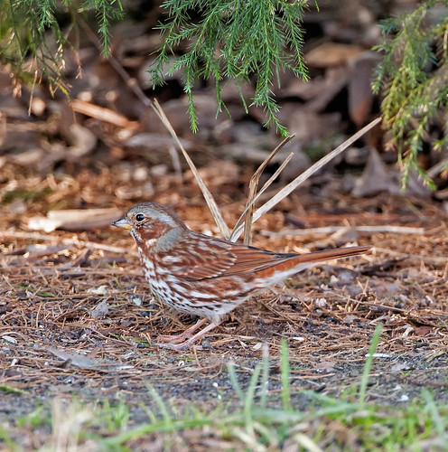
birds
Fox Sparrow (Red)
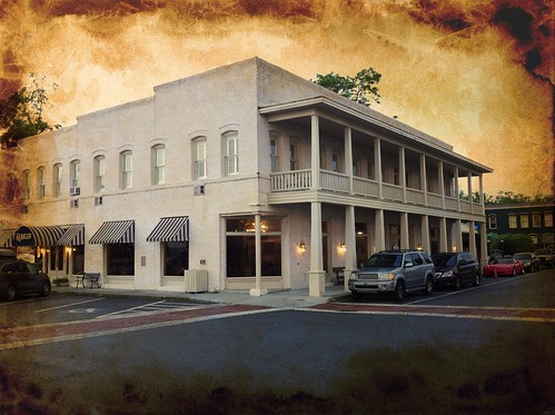
georgia hotel riverview stmarys
River View Hotel
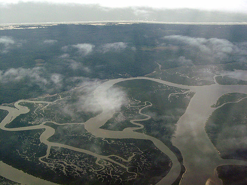
usa ga georgia islands us unitedstates rivers cumberlandisland aerials cumberlandriver camdencounty georgiarivers may262007 05262007 mumfordcreek brickhillriver georgiariversandwaterways
Cumberland River, Brickhill River, and Cumberland Island, Georgia
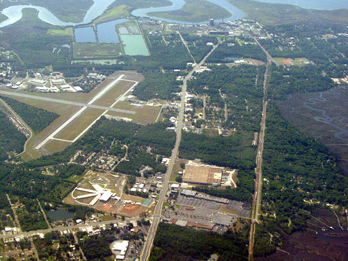
usa ga georgia us unitedstates airports aerials stmarys northriver stmarysriver camdencounty stmarysga may262007 05262007 northr northrivergeorgia northriverga
St. Marys, Georgia
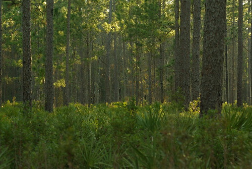
park trees sunset shadow green nature forest georgia outdoors evening woods view pentax dusk palm vista crookedriver underbrush primeval k10d crookedriverstatepark tamronaf70300mmf456dildmacro photobymikewacht
Deeper than Any Forest Primeval...
cumberlandislandnationalseashore gonatistagrisea
Gonatista grisea (female), Plum Orchard, Cumberland Island National Seashore, Camden County, Georgia 2
cumberlandislandnationalseashore gonatistagrisea
Gonatista grisea (female), Plum Orchard, Cumberland Island National Seashore, Camden County, Georgia 1
View from Cumberland Island
usa birds ga stmarys
Fox Sparrow (Red)
thomas cumberlandisland
Day 1, Cumberland Island
Last northbound run across the Marshes
A Good Sunday
road travel blackandwhite usa house history tourism home georgia photography photo ruins unitedstates image path queenanne picture location tourist historic photograph spanishmoss destination dungeness goldenage mansion saintmarys bandw oaktree cumberlandisland attraction carnegie oaktrees seaisland seaislands barrierisland treelinedroad cumberlandislandnationalseashore dungenessruins thomasmcarnegie dungenessinruins cumberlandislandphoto cumberlandislandphotograph
Road to Dungeness, Cumberland Island, Georgia
river crooked 1635mm28l 5dmkii harrettsbluff
Calm Morning IMG_8588
Like a Dream
square squareformat iphoneography instagramapp uploaded:by=instagram foursquare:venue=4dea4bc122713dd9738ed9b3
#honeymoon #alissalovesjake #water
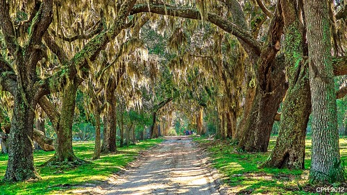
ga georgia geotagged island ave liveoak dungeness coleman cumberlandisland stmarys nationalseashore 408 grandavenue zeiss16803545 houckster sonyslta77v
465) St Marys GA, Cumberland Island - Coleman Avenue - tree canopy leading to Grand Avenue [408]
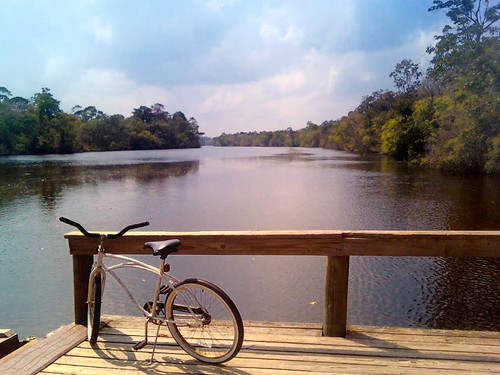
water bicycle vintage river georgia lomo lomography dock creative transportation indie stmarys saltlife
Salt Life
canon river georgia high tide marsh woodbine crooked 5dmkii 2470mmf28ii harrettsbluff
Marsh at High Tide_IMG_0979
Lines IMG_0994
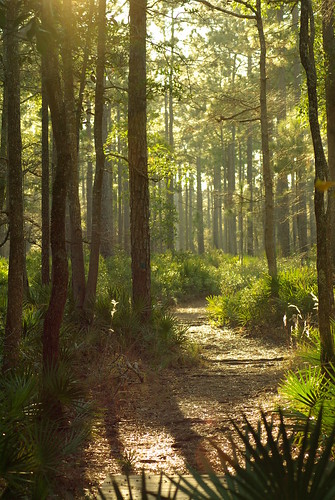
park wood trees shadow sky sun sunlight fern nature beautiful pine forest georgia landscape outdoors woods pentax earth path palm dirt land serene picturesque sylvan crookedriver underbrush k10d crookedriverstatepark tamronaf70300mmf456dildmacro photobymikewacht mygearandme mygearandmepremium mygearandmebronze mygearandmesilver mygearandmegold
Forest Path
sunrise bluff harrietts
Sunrise on the River_IMG_0173
georgia steam excursion stmarys streamlocomotive stmarysga leighvalley stmarysrailroad stmaryssteamexpress
St Mary's Steam Express
plant tree nature forest georgia landscape woods flora unitedstates evergreen saintmarys deciduous cumberlandisland treeoflife maritimeforest posnov viktorposnov
Tree of Life
sunset sea sunlight bird nature horizontal georgia outdoors photography sand day unitedstates cloudy seagull atlantic saintmarys atlanticocean cumberlandisland sunbeam lightbeams colorimage sunrisedawn seacampbeach posnov viktorposnov
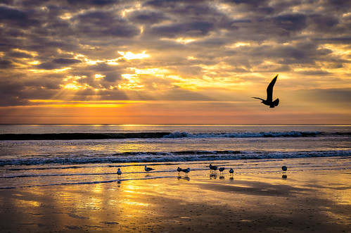
Sea Camp Beach
Reflection IMG_0903_HDR
road florida dirtroad fl iphone ahley yulee alibrauda sketchedoutahley iphoneography iphone4s אליסוןבראודה
Wide open road
photostream
Crooked River State Park 16
Cumberland Island
square squareformat iphoneography instagramapp uploaded:by=instagram foursquare:venue=4db5b8bc4b226b343da65213
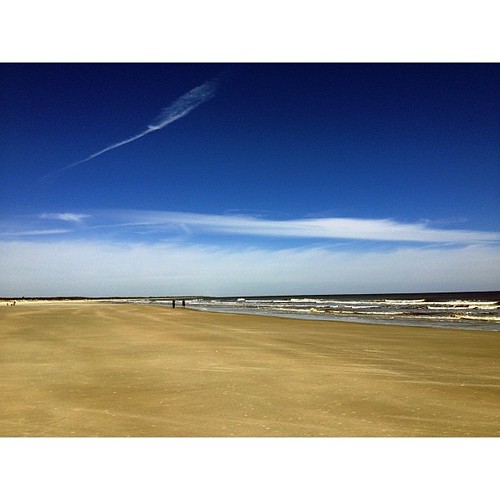
#PicTapGo From today on Cumberland Island.