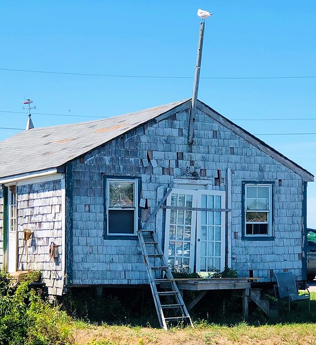
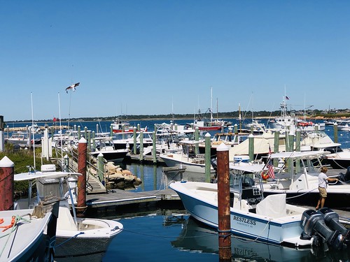
Elevation of 11 Brookside Ln, Little Compton, RI, USA
Location: United States > Rhode Island > Newport County > Tiverton > Little Compton >
Longitude: -71.134164
Latitude: 41.561151
Elevation: 12m / 39feet
Barometric Pressure: 101KPa
Related Photos:
Topographic Map of 11 Brookside Ln, Little Compton, RI, USA
Find elevation by address:

Places near 11 Brookside Ln, Little Compton, RI, USA:
1 Coldbrook Rd, Little Compton, RI, USA
43 Coldbrook Rd
11 Old Stone Church Rd
1902 Crandall Rd
55 Coldbrook Rd
60 Coldbrook Rd
65 Coldbrook Rd
Quail Trail
Abel Hart Lane
285 Stone Church Rd
264 Old Harbor Rd
253 Adamsville Rd
272 Old Harbor Rd
Cornell Road
150 Long Hwy
155 Long Hwy
11 Oak Forest Dr
25 Tompkins Ln
688 Sodom Rd
20 Peckham Rd
Recent Searches:
- Elevation of Corso Fratelli Cairoli, 35, Macerata MC, Italy
- Elevation of Tallevast Rd, Sarasota, FL, USA
- Elevation of 4th St E, Sonoma, CA, USA
- Elevation of Black Hollow Rd, Pennsdale, PA, USA
- Elevation of Oakland Ave, Williamsport, PA, USA
- Elevation of Pedrógão Grande, Portugal
- Elevation of Klee Dr, Martinsburg, WV, USA
- Elevation of Via Roma, Pieranica CR, Italy
- Elevation of Tavkvetili Mountain, Georgia
- Elevation of Hartfords Bluff Cir, Mt Pleasant, SC, USA


