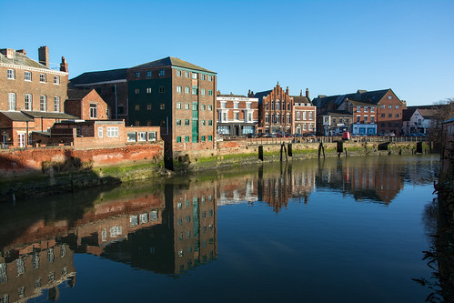
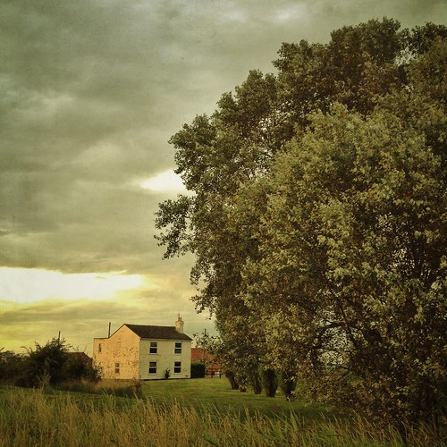
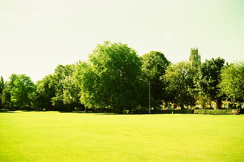
Elevation of 11 A16, Boston PE21 7EQ, UK
Location: United Kingdom > England > Lincolnshire > Boston >
Longitude: -0.0270409
Latitude: 52.9642803
Elevation: 6m / 20feet
Barometric Pressure: 101KPa
Related Photos:
Topographic Map of 11 A16, Boston PE21 7EQ, UK
Find elevation by address:

Places near 11 A16, Boston PE21 7EQ, UK:
London Road
37a
Boston
Pe21 8nb
Pe20 1ls
Kirton
Willington Road
Frithville
The Old Barn
Claydyke Farmhouse
High Street
Lincolnshire
Swineshead
Pe20 3lr
Amber Hill
Bicker Fen
Hawthorn Hill
34 Chapel Farmhouse, Hawthorn Hill, Dogdyke, Lincoln LN4 4UZ, UK
Heckington
Ln4 4bu
Recent Searches:
- Elevation of Corso Fratelli Cairoli, 35, Macerata MC, Italy
- Elevation of Tallevast Rd, Sarasota, FL, USA
- Elevation of 4th St E, Sonoma, CA, USA
- Elevation of Black Hollow Rd, Pennsdale, PA, USA
- Elevation of Oakland Ave, Williamsport, PA, USA
- Elevation of Pedrógão Grande, Portugal
- Elevation of Klee Dr, Martinsburg, WV, USA
- Elevation of Via Roma, Pieranica CR, Italy
- Elevation of Tavkvetili Mountain, Georgia
- Elevation of Hartfords Bluff Cir, Mt Pleasant, SC, USA


