Elevation of 10 Red Barn Rd, Pine Bush, NY, USA

Location: United States > New York > Ulster County > Shawangunk > Walker Valley >

Longitude: -74.378386

Latitude: 41.633607

Elevation: 205m / 673feet

Barometric Pressure: 99KPa

Elevation Map:

elevation map of 10 Red Barn Rd, Pine Bush, NY, USA

Satellite Map:

Satellite map of 10 Red Barn Rd, Pine Bush, NY, USA

Related Photos:

windows newyork colors skyline view manhattan textures chryslerbuilding infinestyle memoriesbook memoriesbook5 bestofmywinners magicunicornverybest magicunicornmasterpiece magiayfotografia
The colors of Manhattan
road new york ny ontario abandoned nature forest train high woods track view hiking path walk rail tunnel hike trail western ow wurtsboro cragsmoor
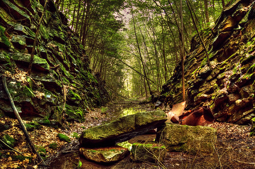
Remnants of an Abandoned Railroad
autumn newyork fall leaves golden minnewaska newpaltzny minnewaskastatepark goldleaves autumninnewyork fallinnewyork viewintheautumnforest
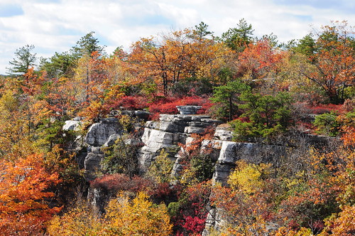
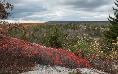
Hamilton Point
road new york ny ontario abandoned nature forest train high woods track view hiking path walk rail tunnel hike trail western ow staring abyss wurtsboro cragsmoor
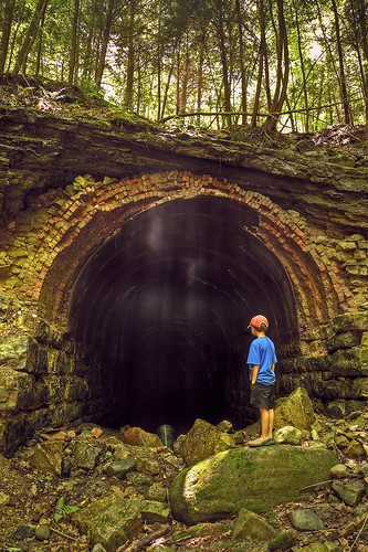
The Forgotten Tunnel
newyork alex photography photographer manhattan kosova empirestate albanian albania uji glenisland shqip selimaj
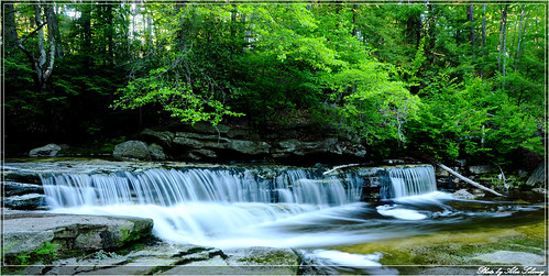
Flowing profusely
photosbb uploaded:by=flickstagram instagram:photo=743518547581593704145065249 instagram:venuename=minnewaskastateparkhikingtrail instagram:venue=253117534
photosbb loves the view from Copes...
minnewaskasp
View Toward Sam's Point
abandoned tunnel ow sullivancountyny newyorkontarioandwesternrailroad wurtsborony
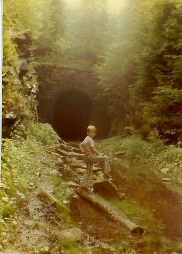
Me at the Wurtsboro Portal
county new york trees summer ny green clouds view valley roadside overlook ulster 2014 ellenville ny52
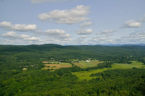
Over Ellenville_20140729_104427_
county new york sky orange ny color fall colors pine speed canon honda landscape fun toy toys bush aperture nikon funny colorful slow view bell bokeh lol scenic scooter mini scene tokina adventure foliage valley views motorcycle hudson machines orangecounty nikkor moped minibike nys grom 125cc pinebush hudsonvalley msx hooligan groms ellenville 1116 rt52 bellhelmet gromnation hoonigan msx125 grom125
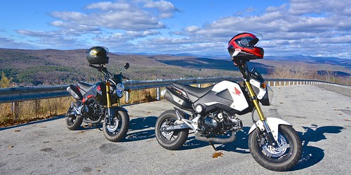
Attack of the GROMS
county new york trees summer ny green clouds view valley roadside overlook ulster 2014 ellenville ny52
Over Ellenville_20140729_104409_
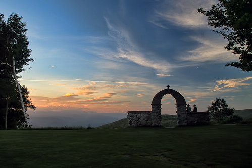
new york old sunset sky sun mountain ny mountains church stone evening air overlook soe catskill cragsmoor shawangunk ellenville platinumheartaward photographyforrecreationclassic
Mountain Sunset
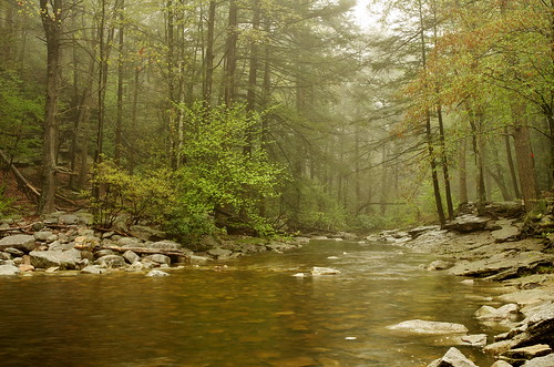
minnewaskastatepark stateofnewyork pentaxfa24mm atimonanin yaayatimonaninay pentaxk5
River in the Woods
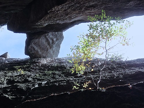
blue sky tree up rocks view perspective catskills slot
Slot Perspective
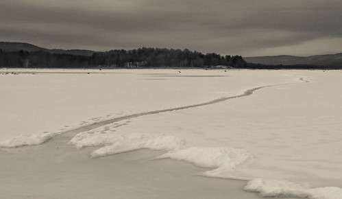
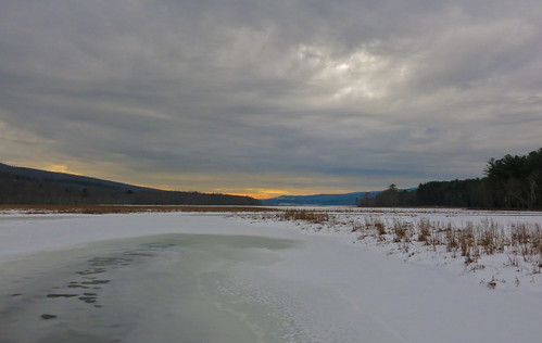
blackandwhite snow ice landscape swamp wetlands bashakill canong15
Path Into An Icy Lake
snow ice landscape swamp wetlands odc yourweather canong15
Clouds Moving In Over The Bashakill *Explore*
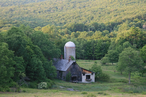
mountains abandoned berg farm silo nate catskill superhearts
Abandoned but not forgotten by the light
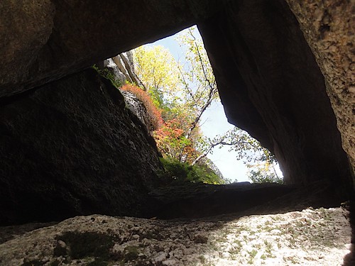
sky window up rocks view perspective foliage catskills
Rock Window View
summer rocks view gardiner newpaltzny minnewaskastatepark
On top of the world
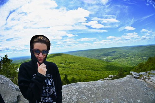
bear new york blue sky cliff mountain fish black green eye girl female walking fun glasses hoodie spring high nikon scenery view angle hiking exploring united wide may windy upstate hike fisheye valley chilly hudson states mm 105 wilderness nikkor overlook exciting ellenville 2013
Fish eye 1
landscape hss shawangunkmountains tamron1024mmlens sliderssunday
The Gunks
statepark ny newyork water canon waterfall upstate sp minnewaska riverstream waterfallguy sabderskillfalls catskiolls
Sanders Kill Falls
Springtime Blues
wild green deer pasture deers graze whitetailed
wild deers
autumn sky newyork fall water fog clouds river wallkill walllkillriver
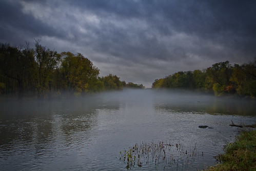
Foggy Fall Wallkill River
abandoned canal sullivancountyny delawareandhudsoncanal philipsportny
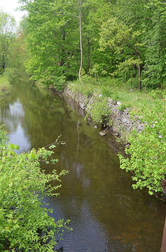
Around Lock 20 D&H Canal
autumn newyork fall waterfall samspoint verkeerderkillfalls
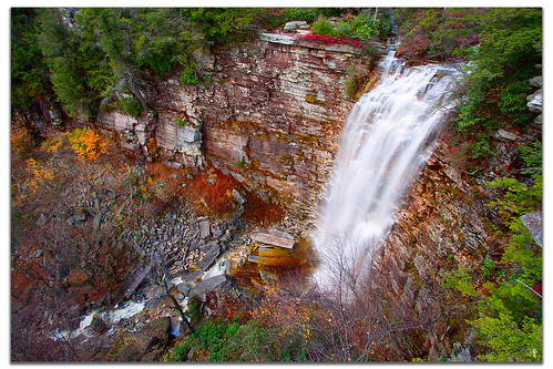
VerKeerderkill Falls
fall geotagged newpaltz samspoint
Samspointae 3005
fall geotagged newpaltz samspoint
Samspoint 2760 (2)
2016-06-13_08-27-32
square squareformat mayfair iphoneography instagramapp uploaded:by=instagram foursquare:venue=4beeba6e3686c9b64ed8246e
Sunday hike.
Falls Edge
The Creek by the Cabin
Top of Falls
DSC_5290.jpg