Elevation of 10 Moose River Gold Mines Rd, Moose River Gold Mines, NS B0N, Canada
Location: Canada > Nova Scotia > Halifax Regional Municipality > Halifax > Moose River Gold Mines >
Longitude: -62.942297
Latitude: 44.9843678
Elevation: 118m / 387feet
Barometric Pressure: 100KPa
Elevation Map:
Satellite Map:
Related Photos:

CO 1069-280-96

CO 1069-280-72
CO 1069-280-88
CO 1069-280-89
CO 1069-280-75
CO 1069-280-10
CO 1069-280-99
CO 1069-280-76
CO 1069-280-100
CO 1069-280-71
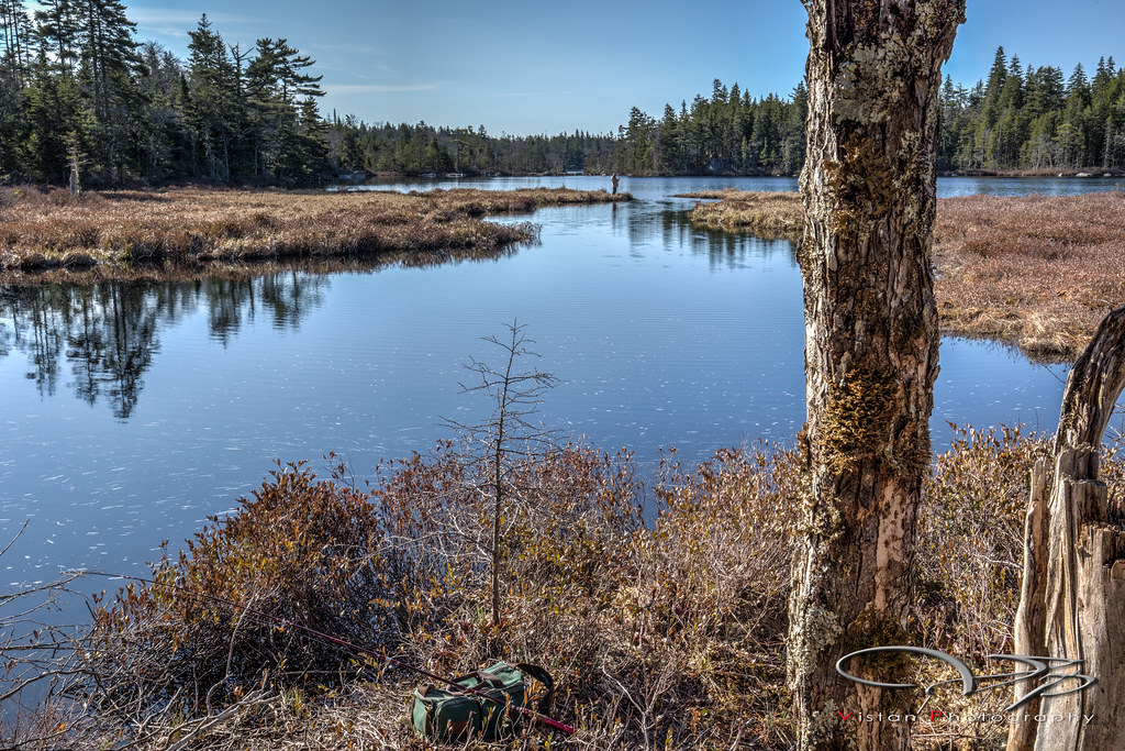
Turple Pond
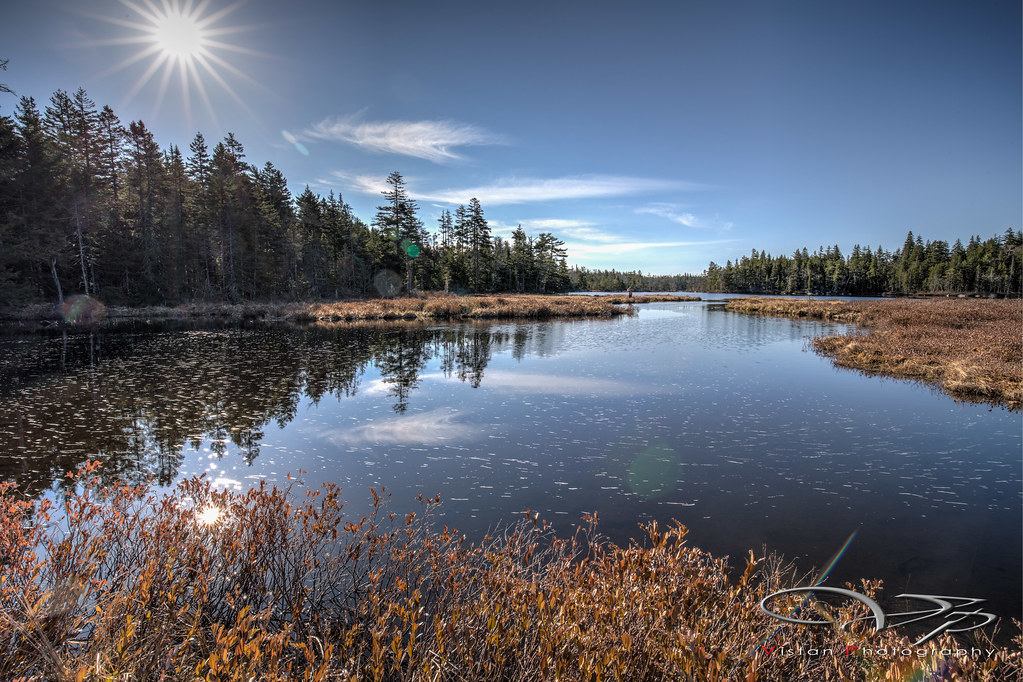
Turple Pond
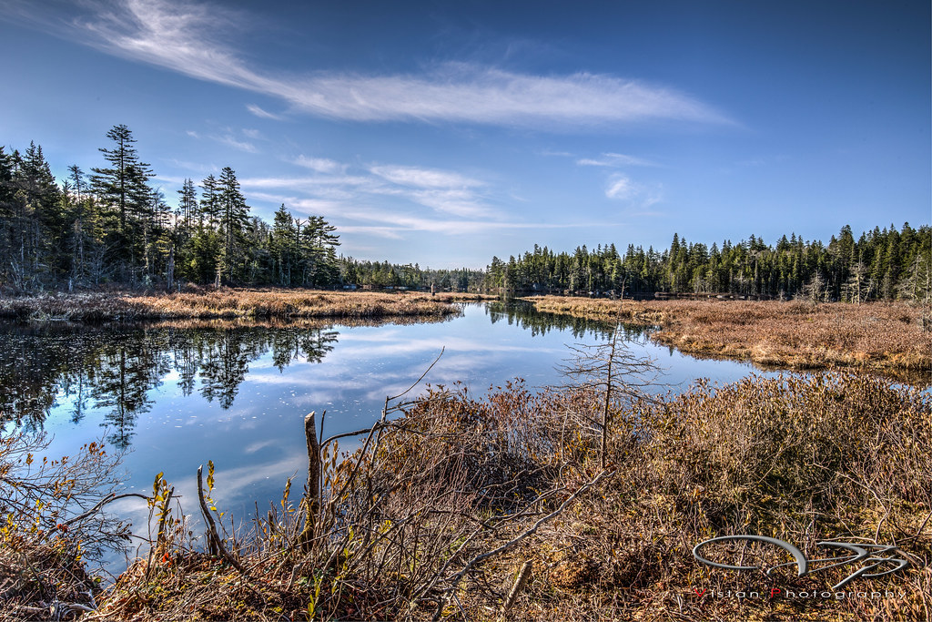
Turple Pond
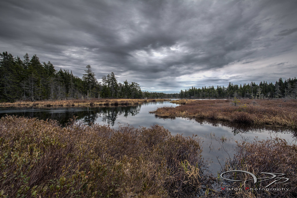
Turple Pond
Topographic Map of 10 Moose River Gold Mines Rd, Moose River Gold Mines, NS B0N, Canada
Find elevation by address:

Places near 10 Moose River Gold Mines Rd, Moose River Gold Mines, NS B0N, Canada:
Moose River Gold Mines
LAKE CHARLOTTE WA, Upper Lakeville, NS B0J, Canada
Ship Harbour
Upper Lakeville Road
Upper Lakeville
Lake Charlotte
Marine Dr, Head of Jeddore, NS B0J 1P0, Canada
Hartlin Settlement
East Jeddore Road
Head Of Jeddore
English Point Rd, Myers Point, NS B0J, Canada
Hwy 7, Head of Jeddore, NS B0J, Canada
E Jeddore Rd, East Jeddore, NS B0J, Canada
Harbourview Dr, Head of Jeddore, NS B0J, Canada
Clam Harbour
5 Chestnut Dr, Smith Settlement, NS B0J, Canada
Debaies Cove Road
84-20 Wiskubok Cres
Smiths Settlement
Smith Settlement
Recent Searches:
- Elevation of Corso Fratelli Cairoli, 35, Macerata MC, Italy
- Elevation of Tallevast Rd, Sarasota, FL, USA
- Elevation of 4th St E, Sonoma, CA, USA
- Elevation of Black Hollow Rd, Pennsdale, PA, USA
- Elevation of Oakland Ave, Williamsport, PA, USA
- Elevation of Pedrógão Grande, Portugal
- Elevation of Klee Dr, Martinsburg, WV, USA
- Elevation of Via Roma, Pieranica CR, Italy
- Elevation of Tavkvetili Mountain, Georgia
- Elevation of Hartfords Bluff Cir, Mt Pleasant, SC, USA