Elevation of 10 Marine Corps Dr, Tamuning, Guam
Location: Guam > Tamuning > Harmon >
Longitude: 144.812647
Latitude: 13.5187035
Elevation: 72m / 236feet
Barometric Pressure: 100KPa
Elevation Map:
Satellite Map:
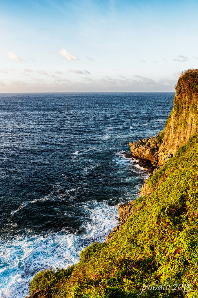
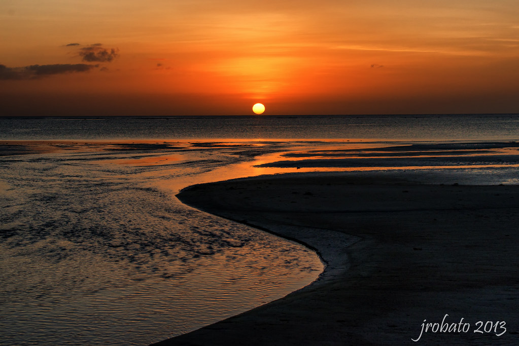
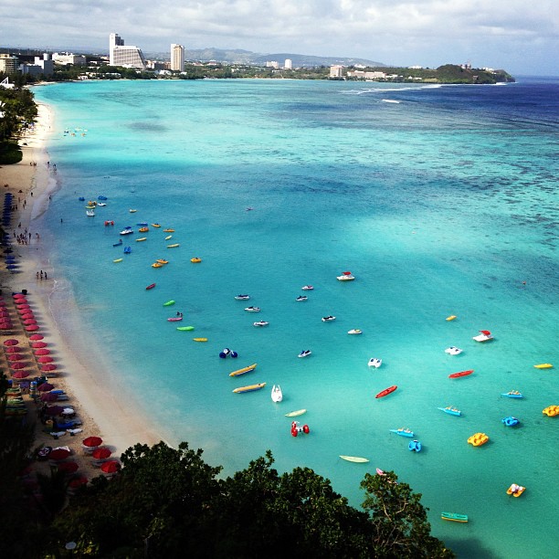
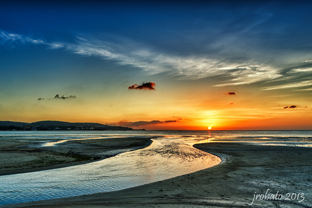
Related Photos:

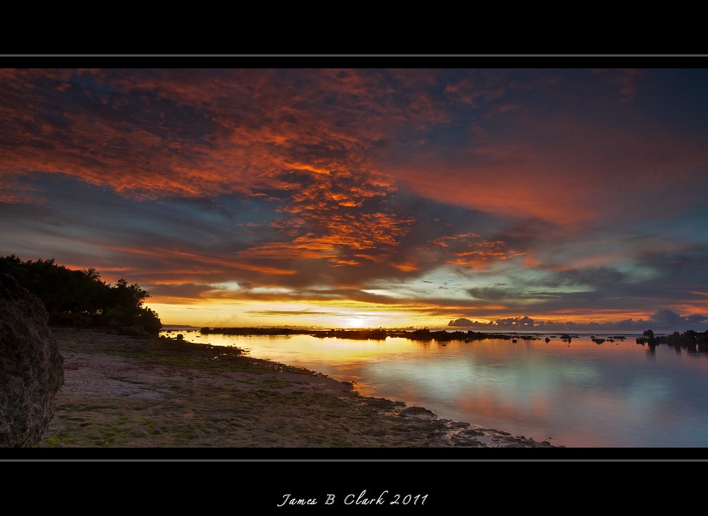
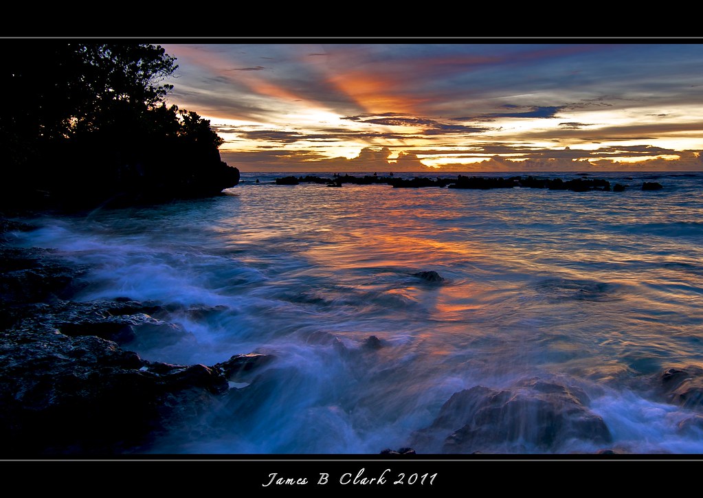
Sunsets,Guam,Peace
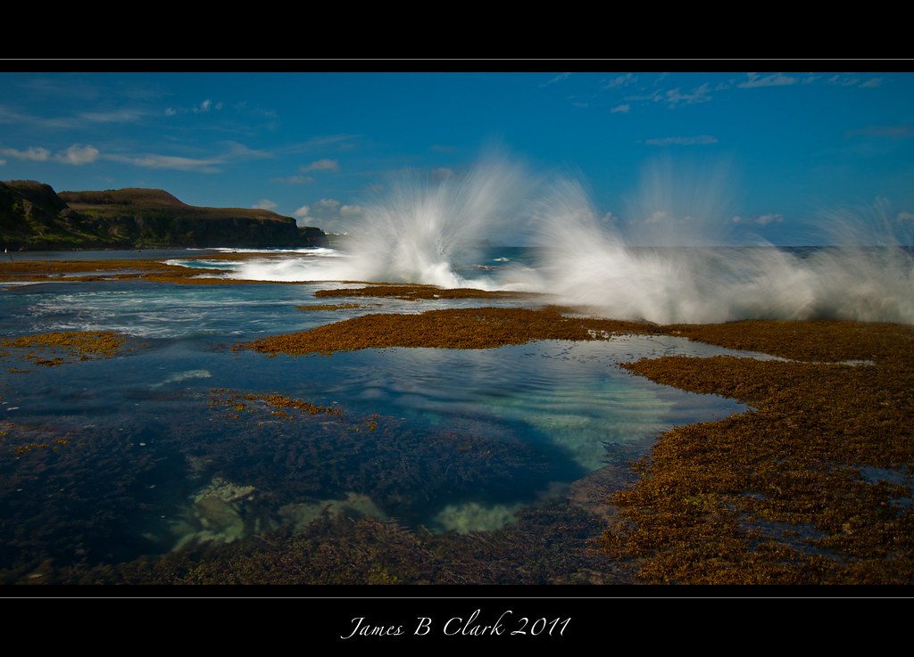
Seascapes,Guam,Peace!
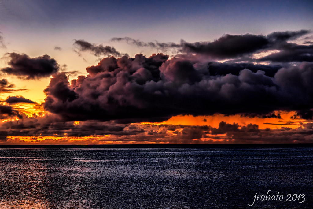
Dark Cumulus
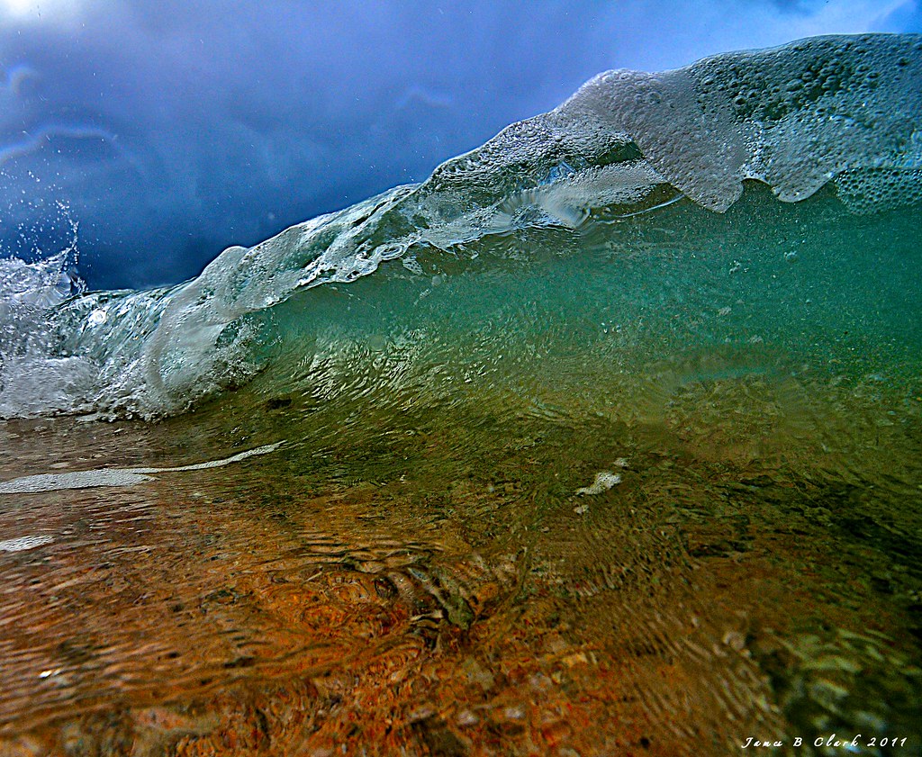
Surf,Guam,Peace
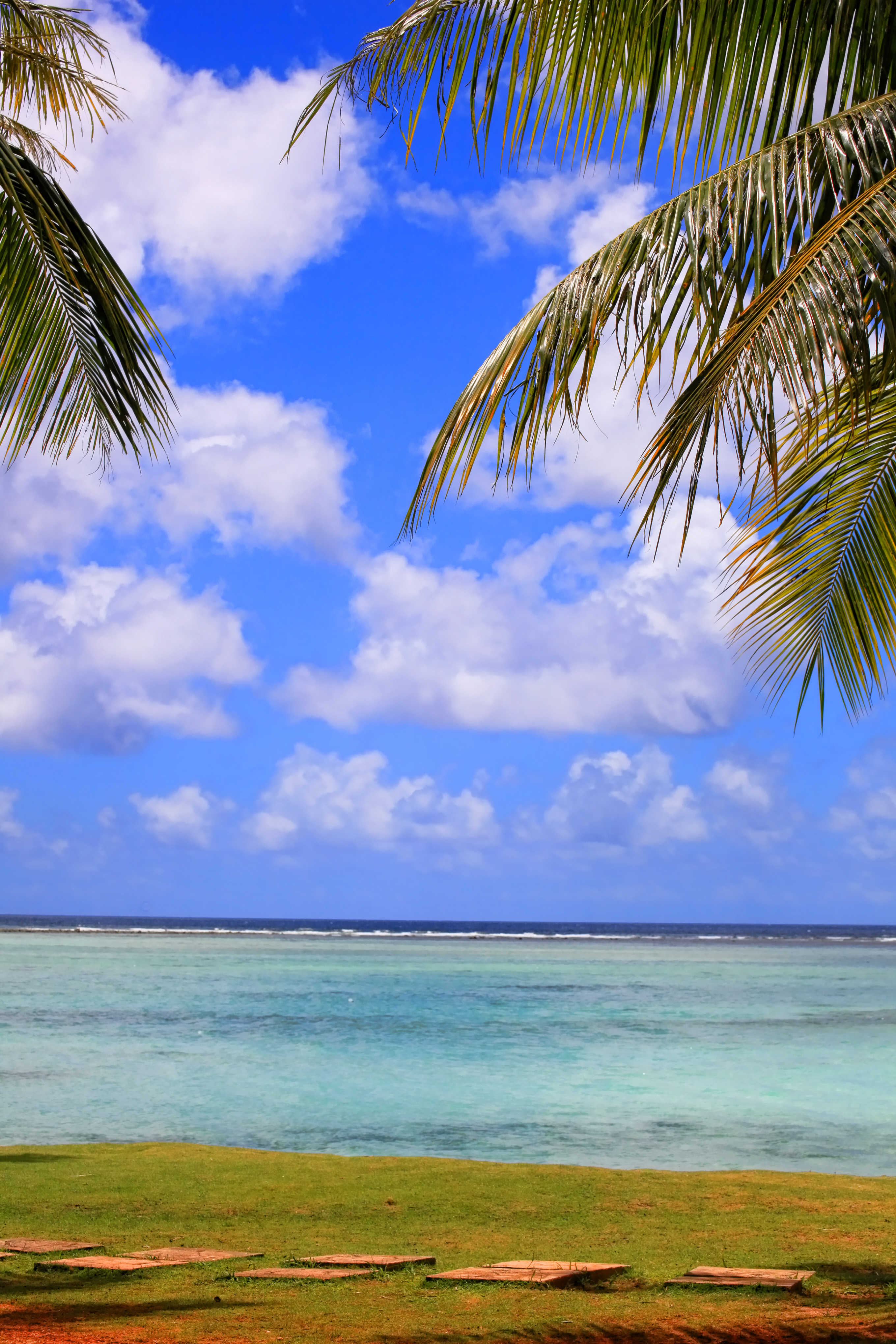
Exotic Spaces,Guam,Calm
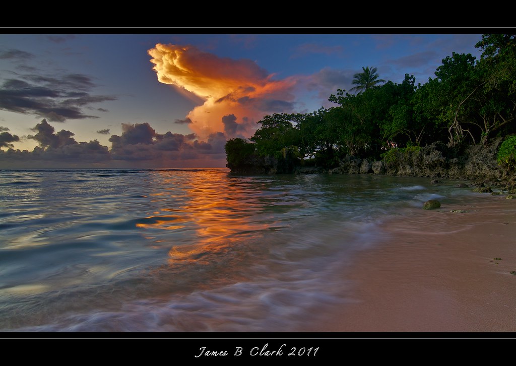
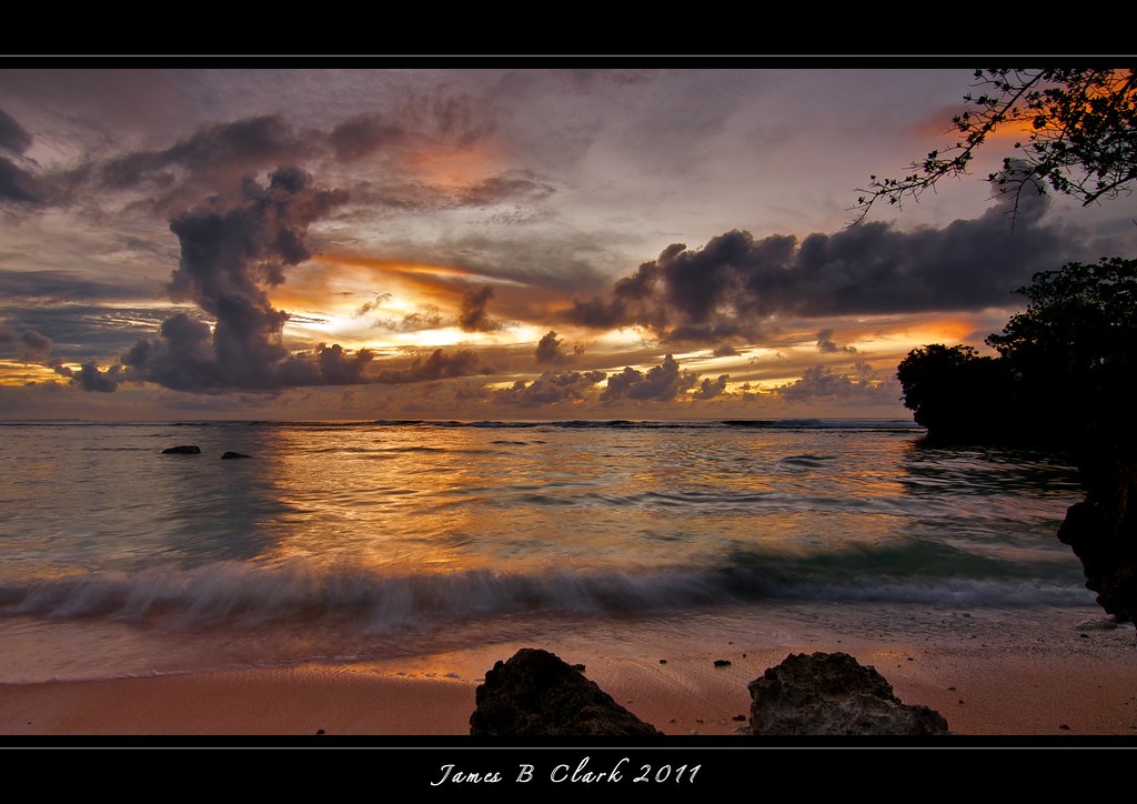
Sunsets of Guam U.S.A
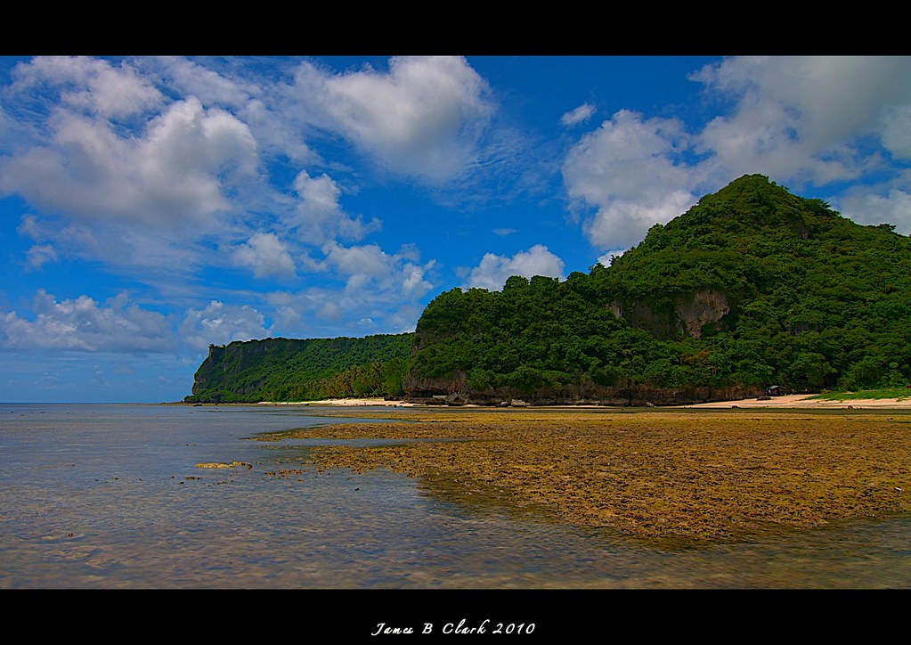
HDR GUN BEACH GUAM

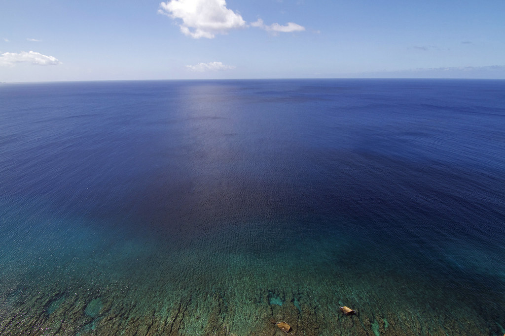
The Blues,Guam

Incoming Rain!
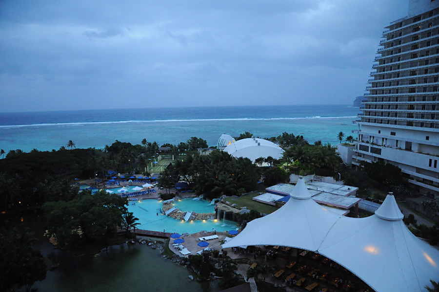
out_DSC_8075.JPG
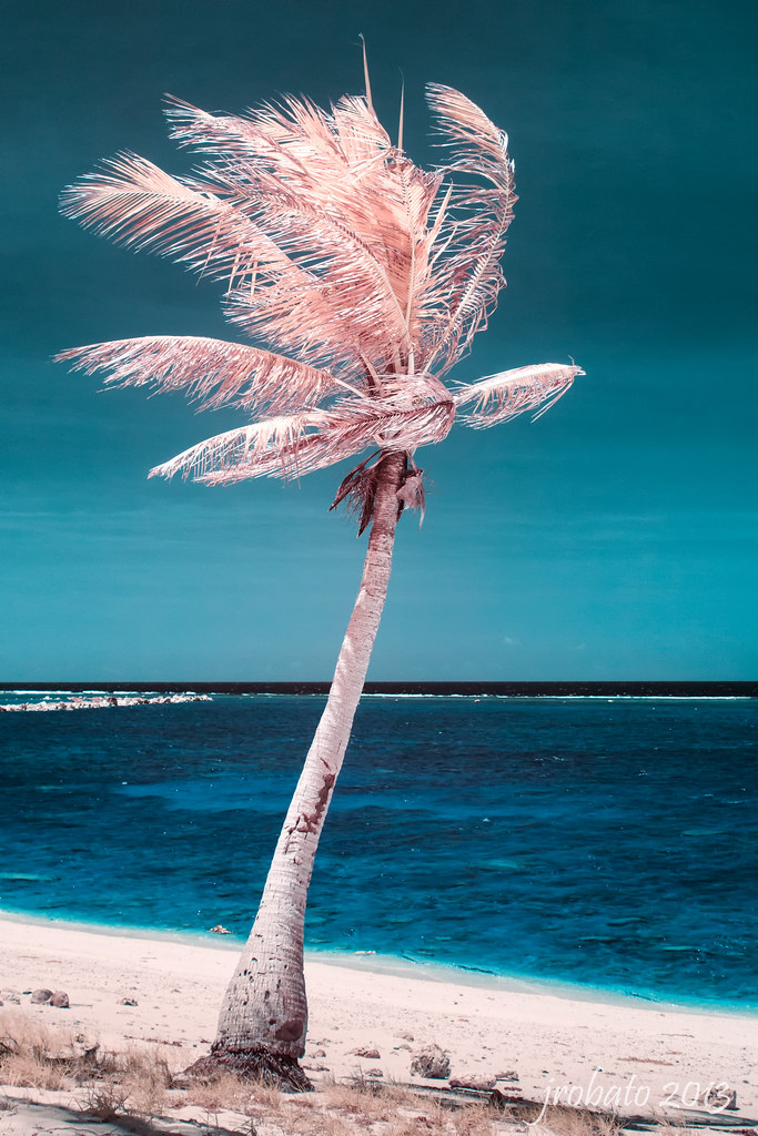
Infrared Palm Tree
Jonestown Cliffline
The Curve
It's fine today
The Sunset & The Stream
The Blue (Two Lovers Point)
Sunsets Guam

Low Tide Sunset
Guam Sunsets

Rippled Sunset
海
Topographic Map of 10 Marine Corps Dr, Tamuning, Guam
Find elevation by address:

Places near 10 Marine Corps Dr, Tamuning, Guam:
270 Chichirica Street
Harmon
Pale San Vitores Rd, Tamuning, Guam
Tamuning
Sirena Lane
Acho Tasi St, Tamuning, Guam
199 Acho Tasi St
199 Acho Tasi St
199 Acho Tasi St
The Carpet Store, Guam
148a Carnation St
Guam
Guam
Recent Searches:
- Elevation of Corso Fratelli Cairoli, 35, Macerata MC, Italy
- Elevation of Tallevast Rd, Sarasota, FL, USA
- Elevation of 4th St E, Sonoma, CA, USA
- Elevation of Black Hollow Rd, Pennsdale, PA, USA
- Elevation of Oakland Ave, Williamsport, PA, USA
- Elevation of Pedrógão Grande, Portugal
- Elevation of Klee Dr, Martinsburg, WV, USA
- Elevation of Via Roma, Pieranica CR, Italy
- Elevation of Tavkvetili Mountain, Georgia
- Elevation of Hartfords Bluff Cir, Mt Pleasant, SC, USA