Elevation of 10 Hent an Iliz, La Chapelle-Neuve, France
Location: France > Cotes-d'armor > La Chapelle-neuve >
Longitude: -3.4203728
Latitude: 48.4623267
Elevation: 242m / 794feet
Barometric Pressure: 98KPa
Elevation Map:
Satellite Map:
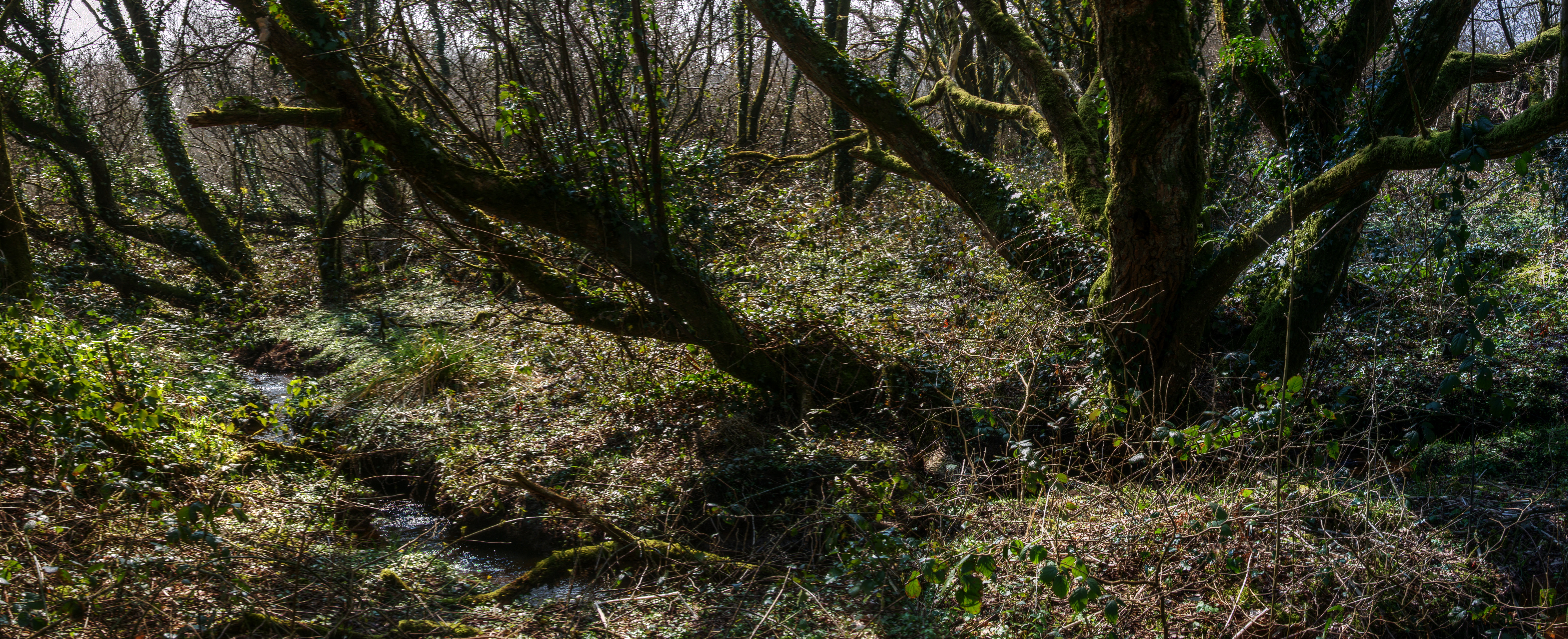
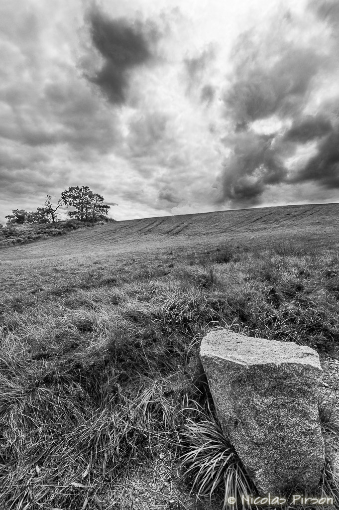
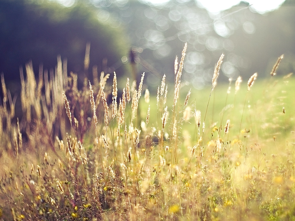
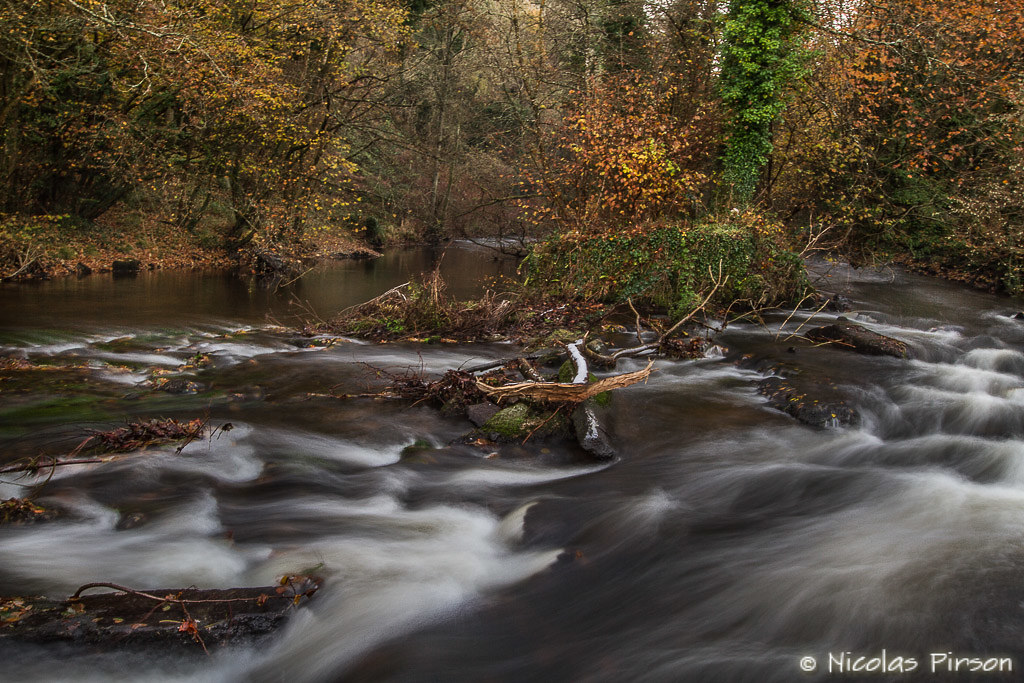
Related Photos:
A Rabbit's Eye View
#garden view
A Nice View

View from window

Intro to the bedroom
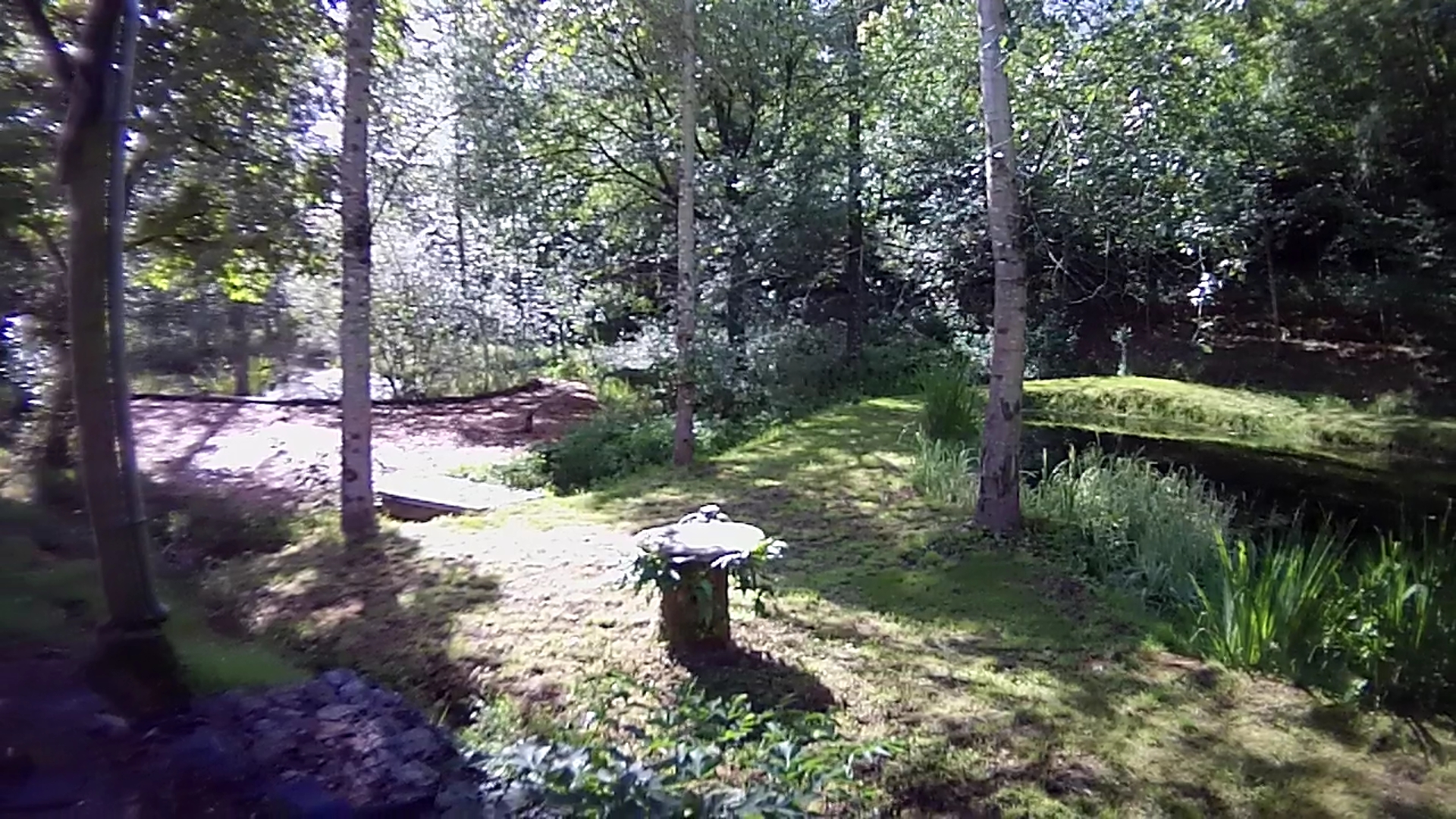
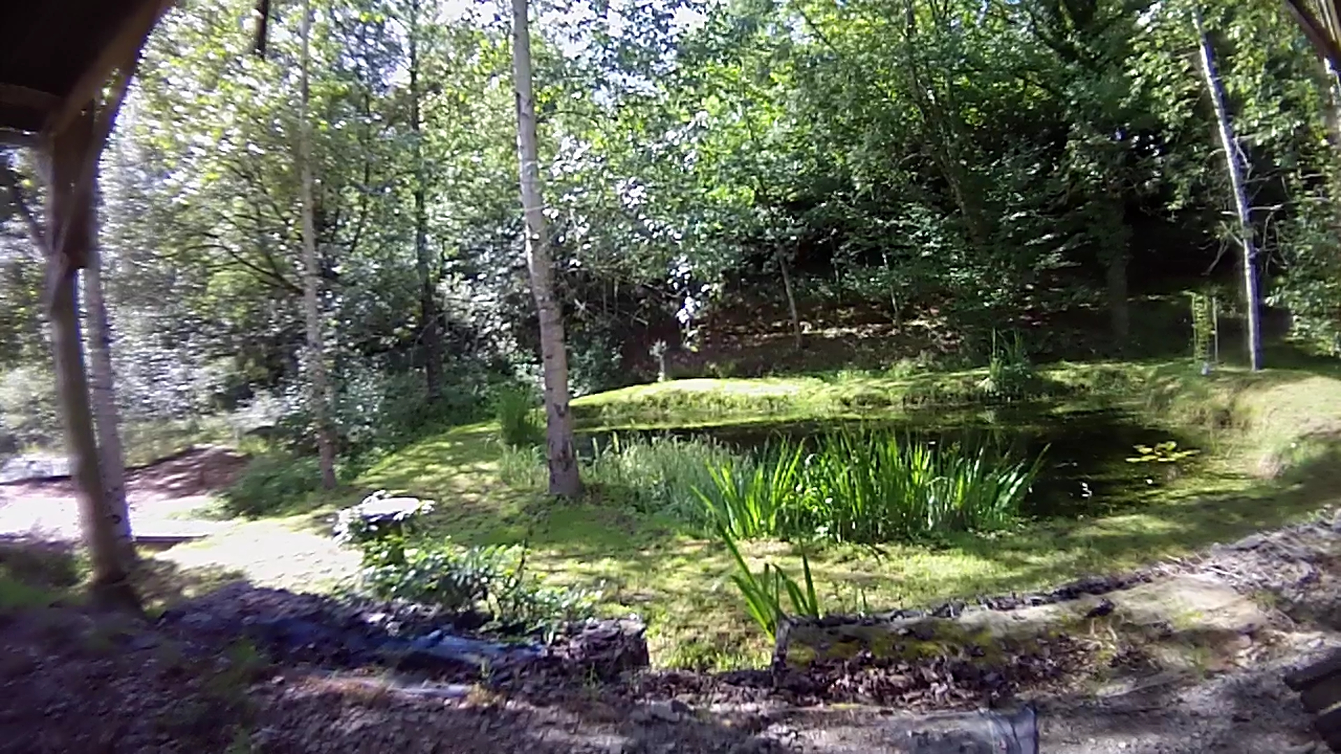
View From The Garden

Les chaos du Corong (22) ..
Le Bog

One Way

Le breton ne vit pas intra-muros (Yann Queffelec)
The rock... Near the chapelle Saint Gildas
la prairie
Rivière - River. Domaine des papetteries, Belle-Isle -En-Terre, 22810, France

Lonesome Sunset
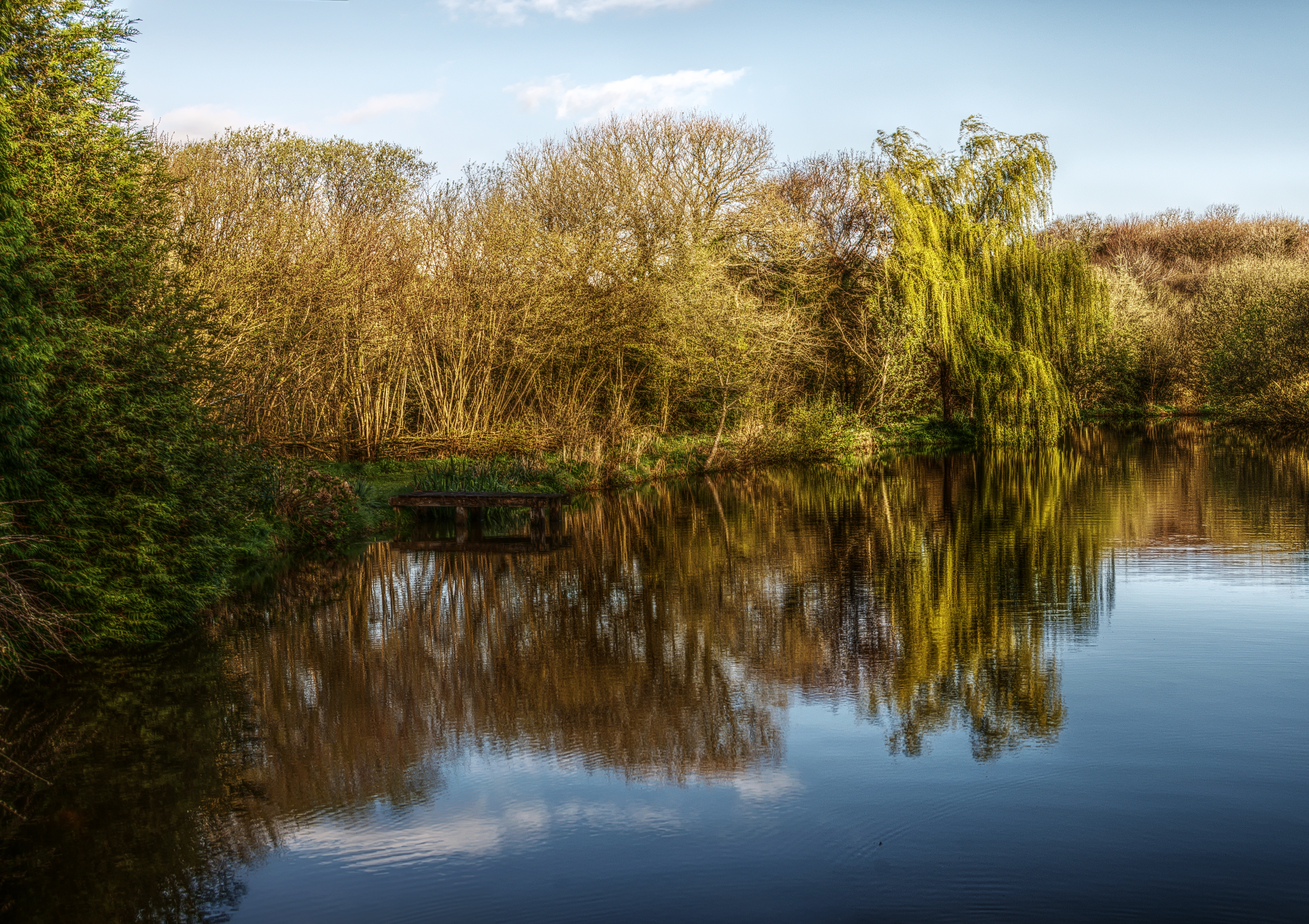
Lac de Nôtre Gaff
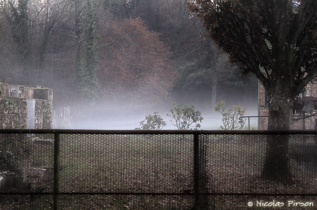
Brouillard - Mist. France - Bretagne
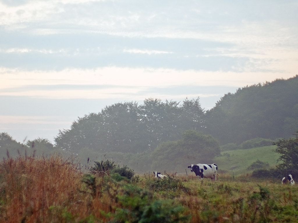
frühmorgens
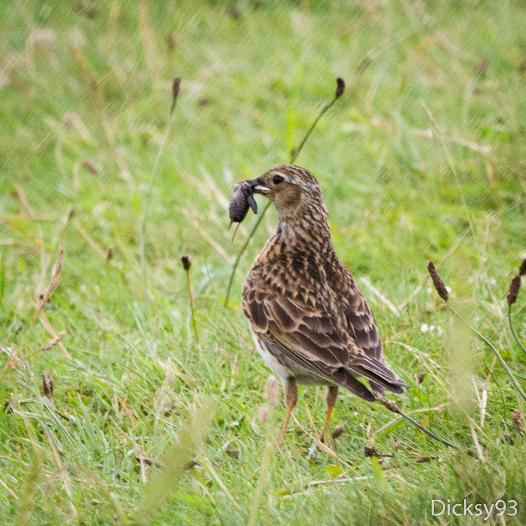
Alouette des champs ( Alauda arvensis)

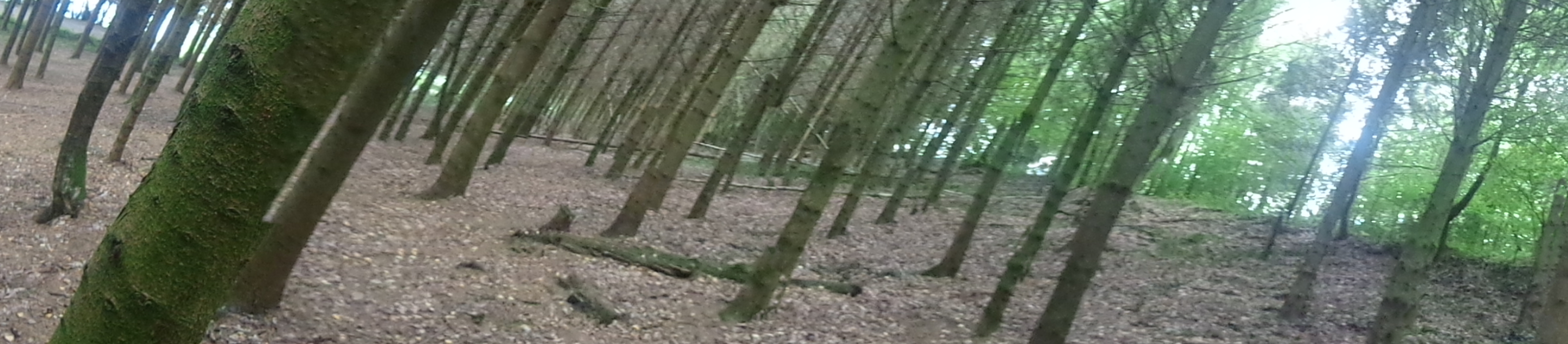
The Path

Le champ de lin
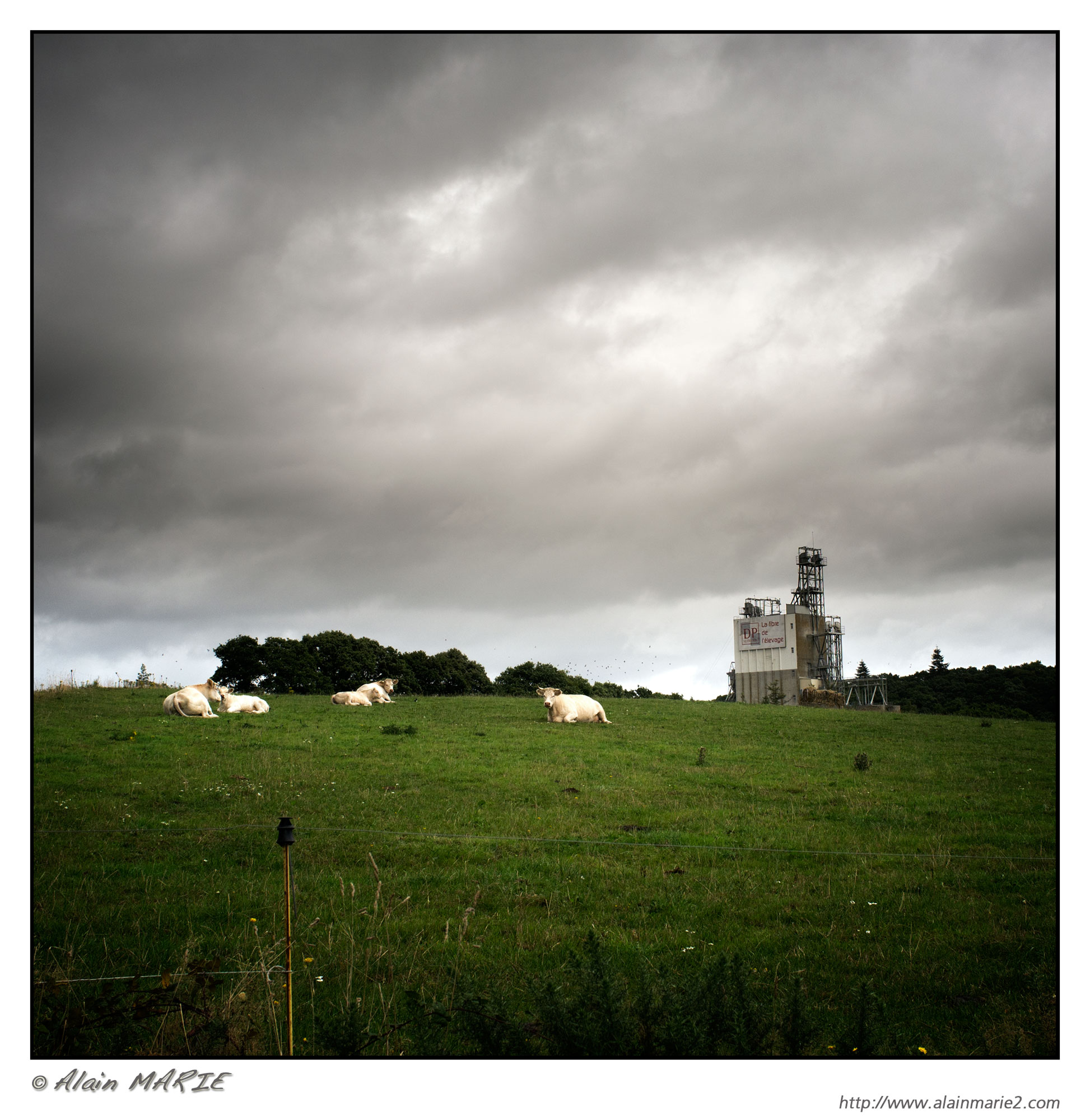
Centrale de blés
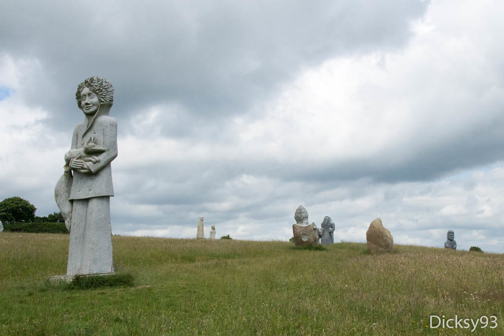
Vallée des Saints - Carnoët
Snapshot - 64
A Nice Panarama Of Trees

"Et l'eau s'enfuit, s'enfuit, s'enfuit..."
Snapshot - 60
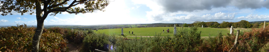
La Vallée des Saints à Carnoët
Topographic Map of 10 Hent an Iliz, La Chapelle-Neuve, France
Find elevation by address:

Places near 10 Hent an Iliz, La Chapelle-Neuve, France:
La Chapelle-neuve
Calanhel
1 Le Croissant, Plounévez-Moëdec, France
6 Route du Dresnay, Loguivy-Plougras, France
Loguivy-plougras
Plounévez-moëdec
Plusquellec
Lohuec
13 D42, Lohuec, France
Cotes-d'armor
1 Guen An Bargat, Plounévez-Moëdec, France
11 Rue de la Poste, Pont-Melvez, France
Pont-melvez
4 Guellec Izelan, Plusquellec, France
2 Tout Va Bien, Louargat, France
Louargat
Gurunhuel
7 D, Plounérin, France
2 Crech Guignec, Louargat, France
6 Lan Kerguilly, Trébrivan, France
Recent Searches:
- Elevation of Corso Fratelli Cairoli, 35, Macerata MC, Italy
- Elevation of Tallevast Rd, Sarasota, FL, USA
- Elevation of 4th St E, Sonoma, CA, USA
- Elevation of Black Hollow Rd, Pennsdale, PA, USA
- Elevation of Oakland Ave, Williamsport, PA, USA
- Elevation of Pedrógão Grande, Portugal
- Elevation of Klee Dr, Martinsburg, WV, USA
- Elevation of Via Roma, Pieranica CR, Italy
- Elevation of Tavkvetili Mountain, Georgia
- Elevation of Hartfords Bluff Cir, Mt Pleasant, SC, USA