Elevation of 10 Figtree Ln, Gillieston Heights NSW, Australia
Location: Australia > New South Wales > Maitland City Council > Gillieston Heights >
Longitude: 151.525881
Latitude: -32.751603
Elevation: 14m / 46feet
Barometric Pressure: 101KPa
Elevation Map:
Satellite Map:
Related Photos:

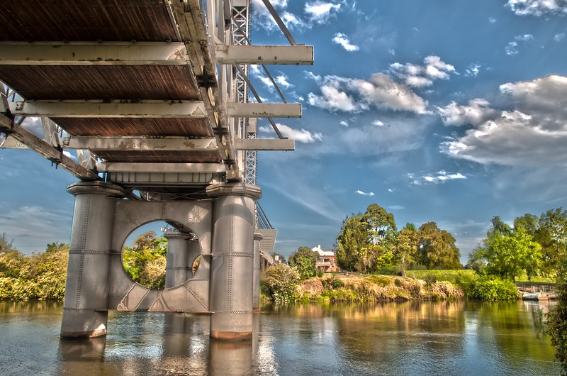
Dunmore Bridge
Up Around the Bend
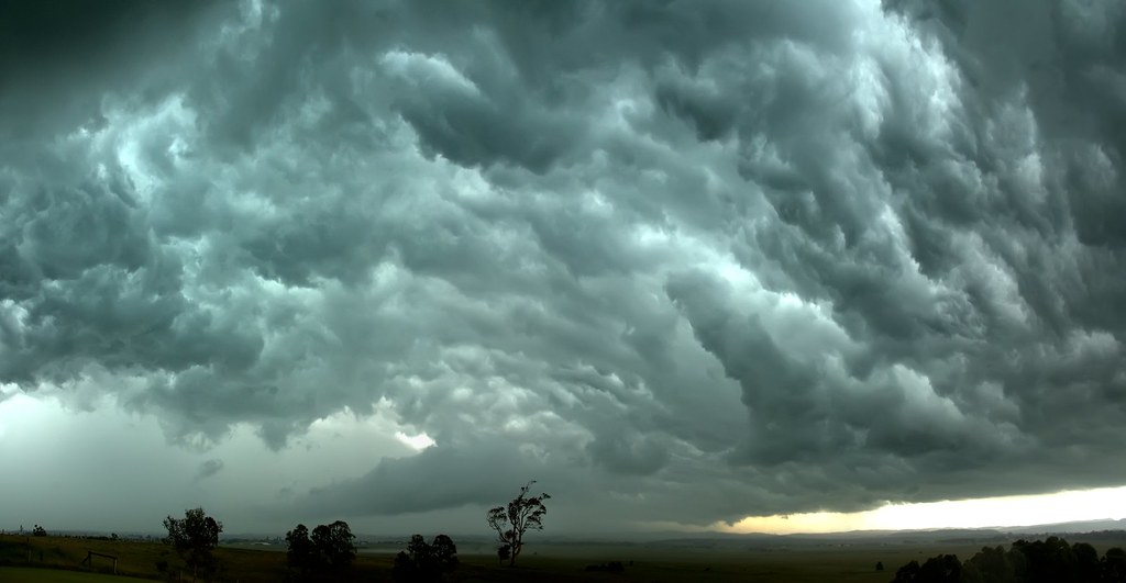
Mad Cloud

Evening Calm

Dr Morse's Indian Root Pills Sign - Raworth, Morpeth Road, NSW

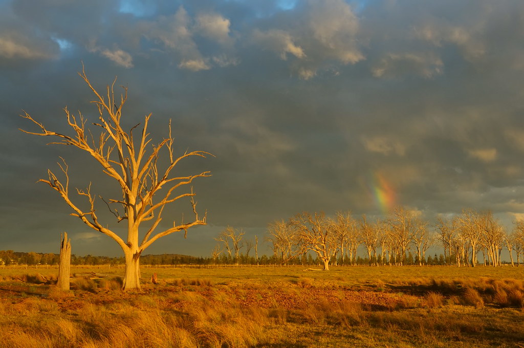
Widow Makers

Rainbow Lorikeet
Under Hinton Bridge

Foggy Morning

Cloud Mirror
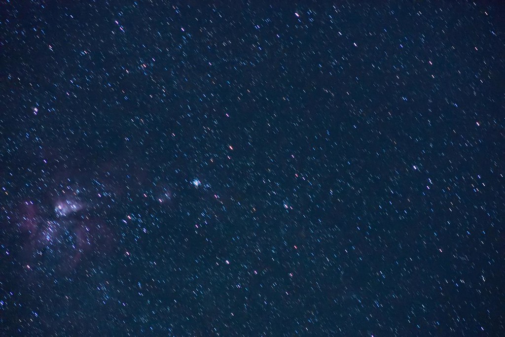
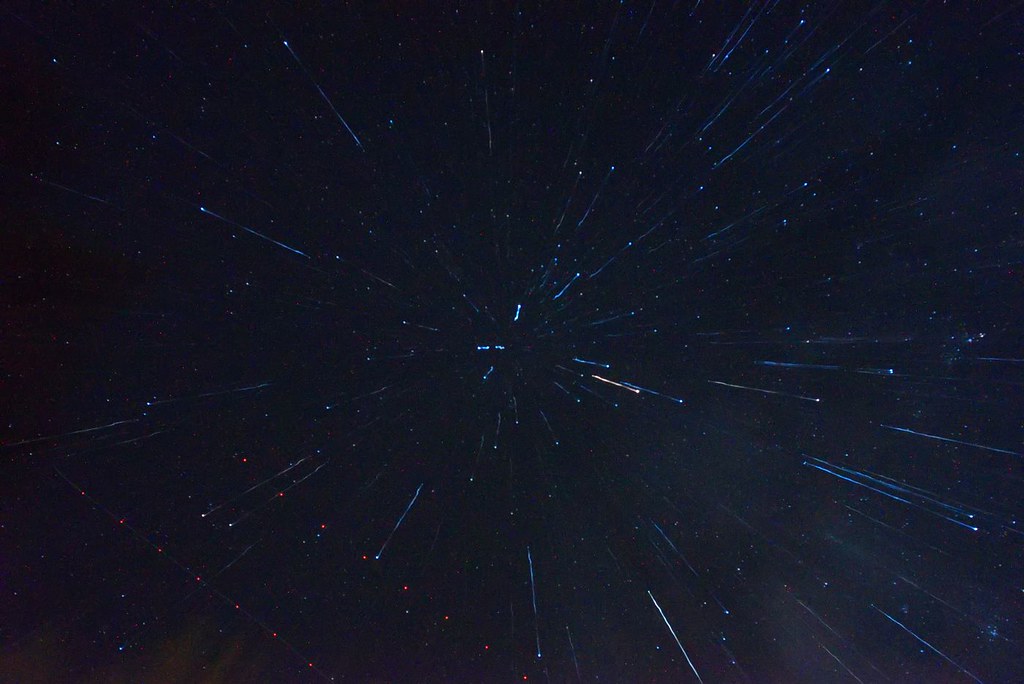
Shoot for the Stars
Star Trails
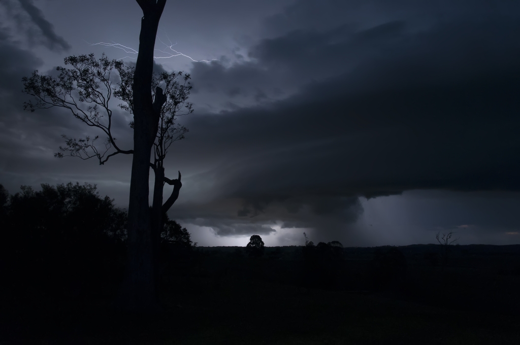
Light Show

The Calm After the Storm

Red Sky

Winter Sunset

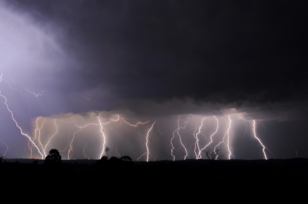
Three Strikes
Backlit Clouds

Fire in the Sky
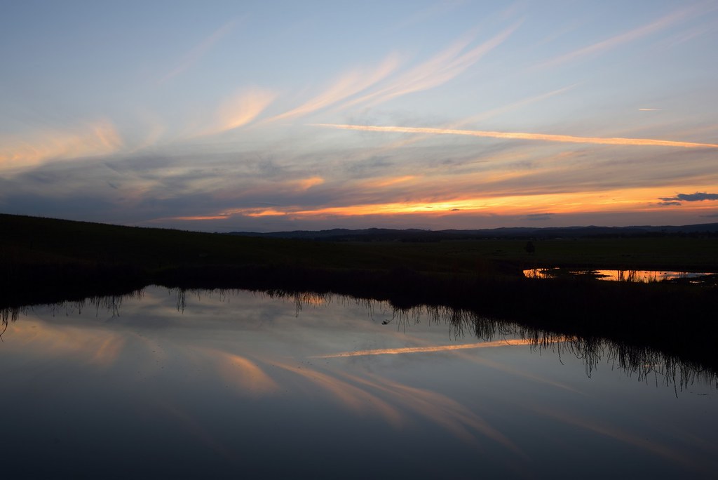
Dam Reflections
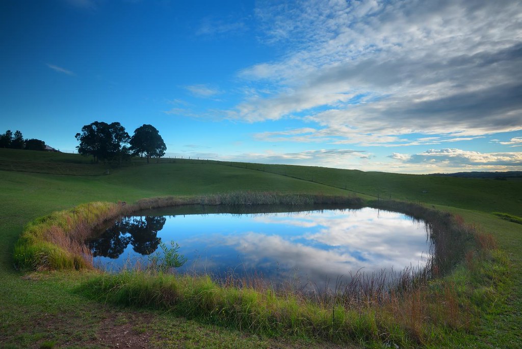
Dam Reflections

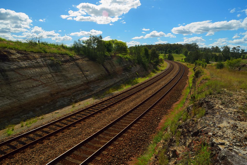
Up Around the Bend
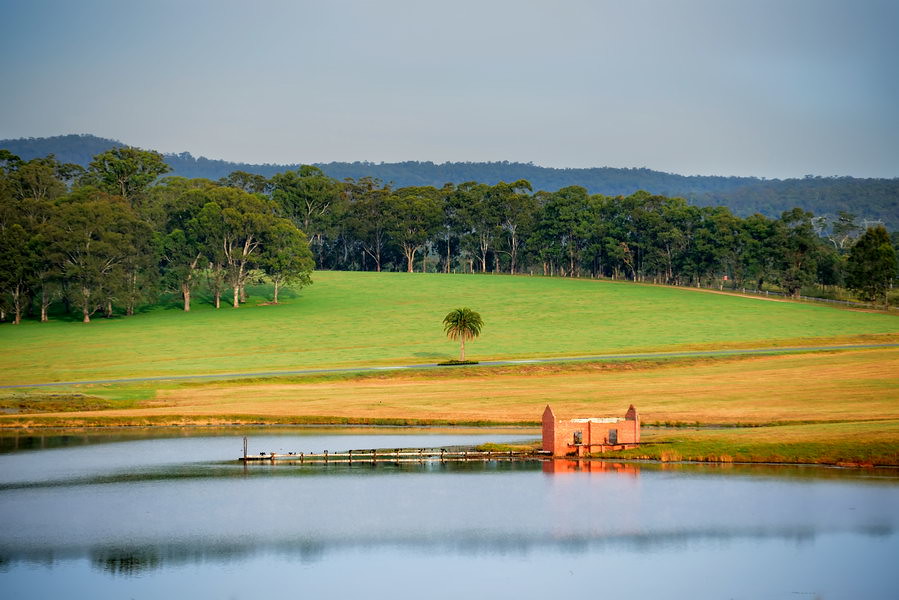
Across the Dam

The recommended remedy

Time to Run

Paterson River Sunset
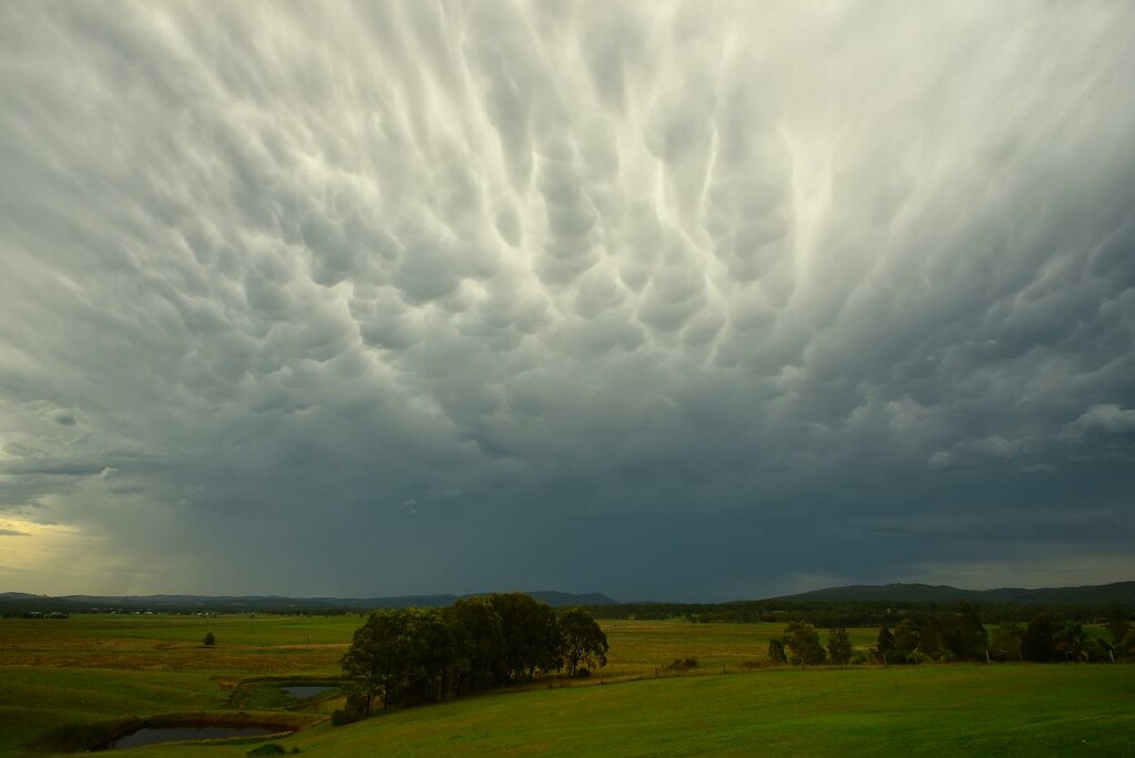
Mammatus Cloud

Gum Trees at Woodville

Crazy Cloud

Good Day Sunshine
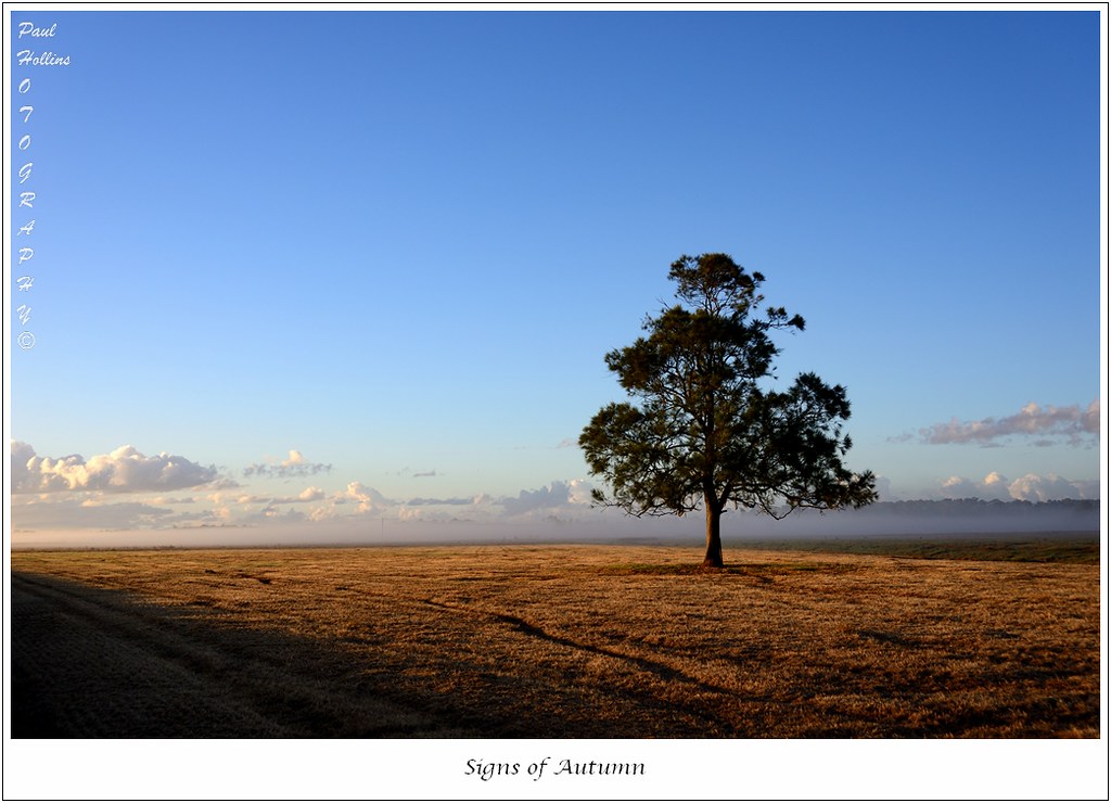
Signs of Autumn

Sketchy Clouds

Into the Mist

Spot the Duck

Holding Back the Years
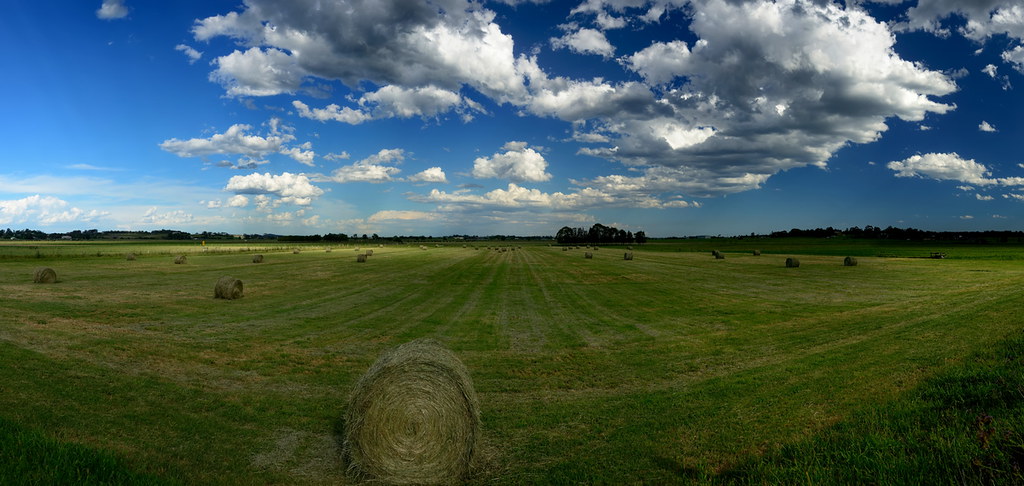
Baling Time
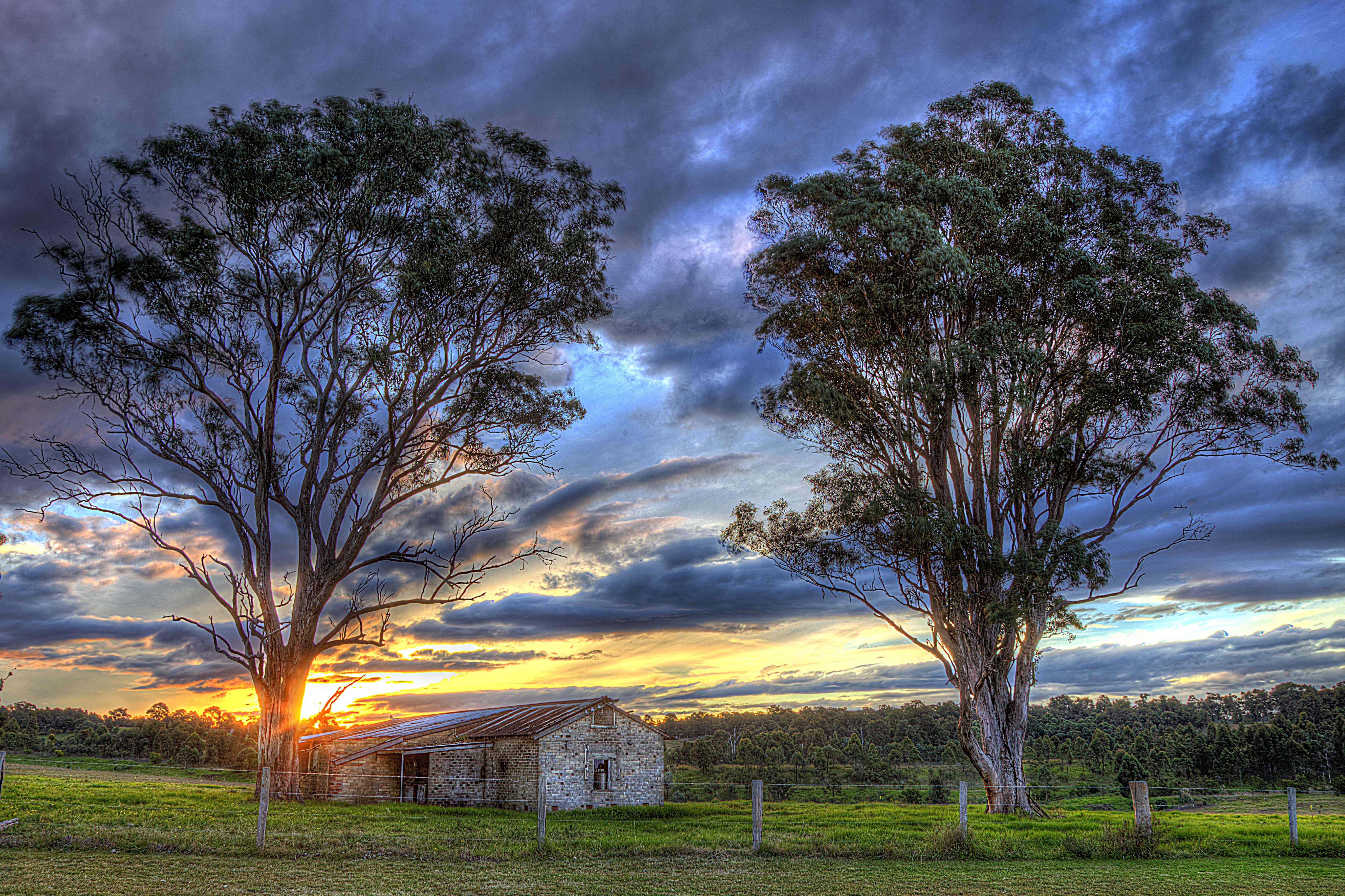
Old dairy

Morning Reflection

A Handy Perch
Afternoon Delight

Solar Landing
Topographic Map of 10 Figtree Ln, Gillieston Heights NSW, Australia
Find elevation by address:

Places near 10 Figtree Ln, Gillieston Heights NSW, Australia:
9 Davies St
Gillieston Heights
113 Regent St
Maitland
Maitland
172 Elgin St
Rutherford
Maitland City Council
8 James St
Horseshoe Bend
7 Wallis St
7a Wallis St
East Maitland
9 Wallis St
65 Flinders St
John Street
1 Thompson St
2 Thompson St
4 Thompson St
45 High St
Recent Searches:
- Elevation of Corso Fratelli Cairoli, 35, Macerata MC, Italy
- Elevation of Tallevast Rd, Sarasota, FL, USA
- Elevation of 4th St E, Sonoma, CA, USA
- Elevation of Black Hollow Rd, Pennsdale, PA, USA
- Elevation of Oakland Ave, Williamsport, PA, USA
- Elevation of Pedrógão Grande, Portugal
- Elevation of Klee Dr, Martinsburg, WV, USA
- Elevation of Via Roma, Pieranica CR, Italy
- Elevation of Tavkvetili Mountain, Georgia
- Elevation of Hartfords Bluff Cir, Mt Pleasant, SC, USA