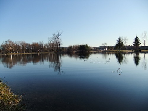
Elevation of 10 Chemin Bordeleau, Saint-Michel-des-Saints, QC J0K, Canada
Location: Canada > Québec > Matawinie Regional County Municipality > Saint-michel-des-saints >
Longitude: -73.853318
Latitude: 46.7698288
Elevation: 371m / 1217feet
Barometric Pressure: 97KPa
Related Photos:
Topographic Map of 10 Chemin Bordeleau, Saint-Michel-des-Saints, QC J0K, Canada
Find elevation by address:

Places near 10 Chemin Bordeleau, Saint-Michel-des-Saints, QC J0K, Canada:
Saint-michel-des-saints
Chemin Jean-francois
7570 Chemin Brassard
Lac Durand
Saint-michel-des-saints
591 Rang Sainte Louise N
Matawinie Regional County Municipality
6031 Chemin De L'Épervier
90 Rue St Viateur
Saint-zénon
Saint-zénon
Lac Saint-charles
Saint-alexis-des-monts
Maskinongé Regional County Municipality
Mékinac Regional County Municipality
50 Boulevard Alexandre
91 Rue Vincent
Saint-alexis-des-monts
QC-, Saint-Alexis-des-Monts, QC J0K 1V0, Canada
Recent Searches:
- Elevation of Corso Fratelli Cairoli, 35, Macerata MC, Italy
- Elevation of Tallevast Rd, Sarasota, FL, USA
- Elevation of 4th St E, Sonoma, CA, USA
- Elevation of Black Hollow Rd, Pennsdale, PA, USA
- Elevation of Oakland Ave, Williamsport, PA, USA
- Elevation of Pedrógão Grande, Portugal
- Elevation of Klee Dr, Martinsburg, WV, USA
- Elevation of Via Roma, Pieranica CR, Italy
- Elevation of Tavkvetili Mountain, Georgia
- Elevation of Hartfords Bluff Cir, Mt Pleasant, SC, USA

