Elevation of Zirubi, Zimbabwe
Location: Zimbabwe > Midlands Province >
Longitude: 30.2819444
Latitude: -20.481944
Elevation: 929m / 3048feet
Barometric Pressure: 91KPa
Elevation Map:
Satellite Map:
Related Photos:
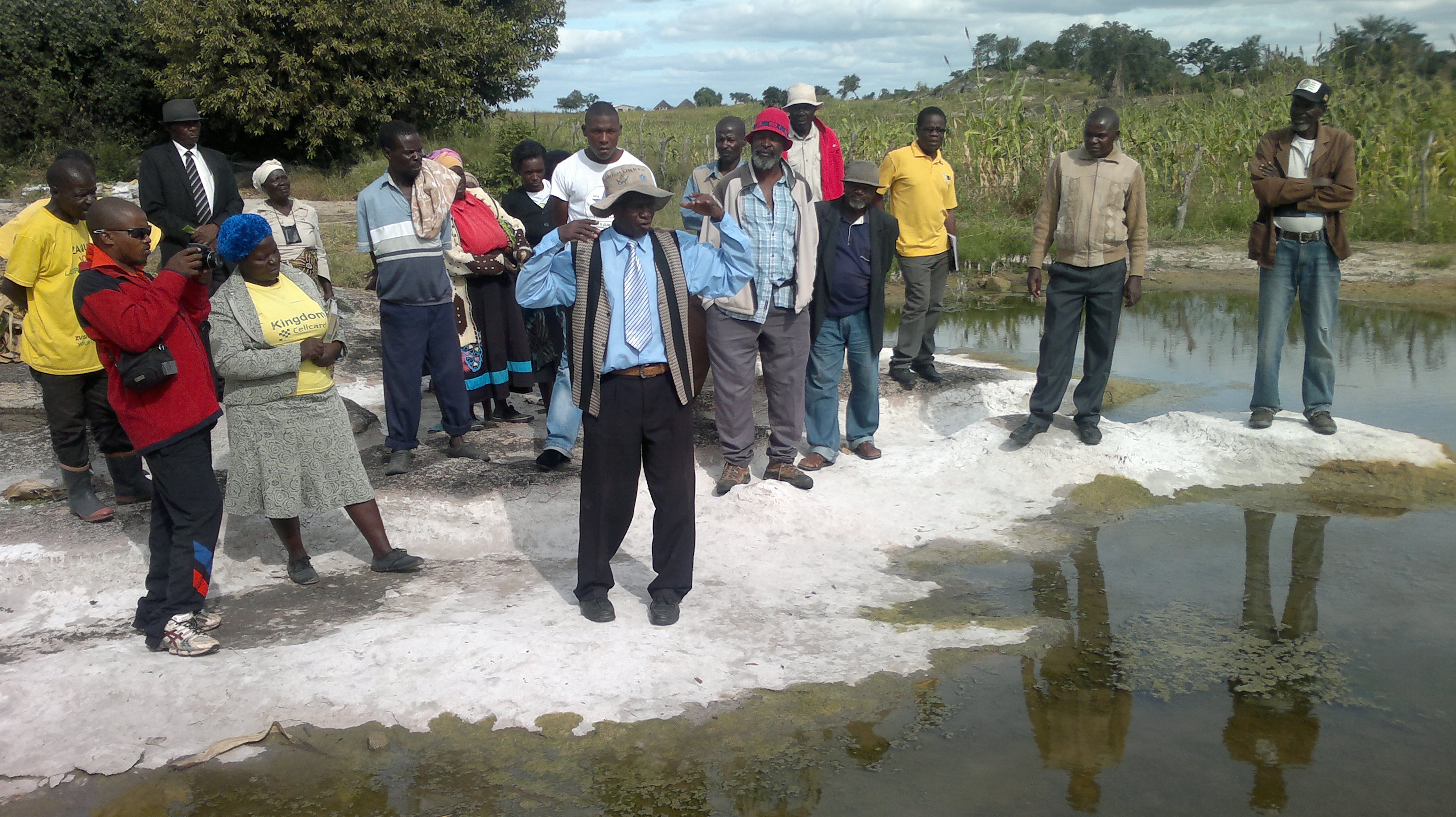
Members of the Hupenyu Ivhu Farmer Innovators Group use their farms as demonstration sites
Topographic Map of Zirubi, Zimbabwe
Find elevation by address:

Places near Zirubi, Zimbabwe:
Recent Searches:
- Elevation of Turner Mill Rd, Talladega, AL, USA
- Elevation of Wylie Ridge Rd, New Cumberland, WV, USA
- Elevation of Dogwood Ln, Millsboro, DE, USA
- Elevation of Paseo Lucido, San Diego, CA, USA
- Elevation of W S, Orem, UT, USA
- Elevation of Water Bird Wy, Punta Gorda, FL, USA
- Elevation of Teiskontie 8, Tampere, Finland
- Elevation of Pacific View Dr, Malibu, CA, USA
- Elevation of Thorpe Cir, Thousand Oaks, CA, USA
- Elevation of Eldorado do Sul - RS, Brazil