Elevation of Zavala County, TX, USA
Location: United States > Texas >
Longitude: -99.723267
Latitude: 28.8801264
Elevation: 222m / 728feet
Barometric Pressure: 99KPa
Elevation Map:
Satellite Map:
Related Photos:
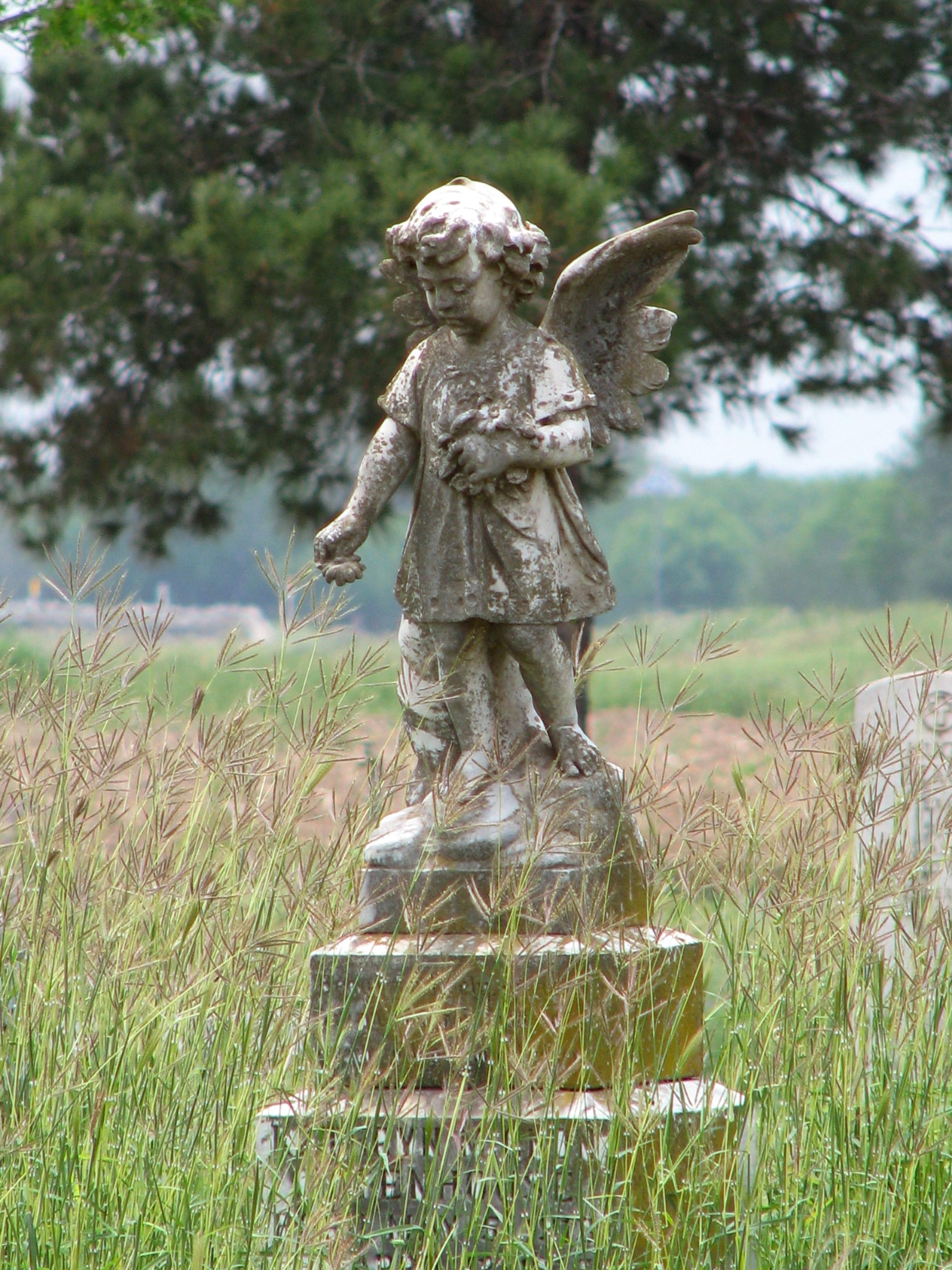
Forgotten Cemetery Angel in Batesville, Texas (Picture a Day May 14, 2009)

Burrowing Owl - Athene cunicularia

Great kiskadee - Pitangus sulphuratus

La Pryor Texas lightning storm

Park - Batesville Texas

Old movie Theater - Batesville Texas

Bldg - Batesville Texas

Bldg - La Pryor Texas

Bldg 2 - LaPryor Texas

Bldg 3 - La Pryor Texas

Bldg 4 - La Pryor Texas

Bldg 4 sign detail - La Pryor Texas

White-crowned Sparrow (Immature)- Zonotrichia leucophrys

La Pryor Texas cactus sunset

IMG_77041 LaPryor Texas Road

Lonely Coyote

julie easley

IMG_6435 LaPryor Texas

IMG_6432 Open House LaPryor Texas
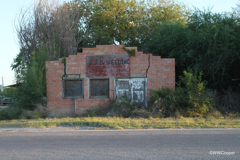
IMG_6430 Closed Welding Shop LaPryor Texas

Rufous-capped Warbler, Basileuterus rufifrons
Topographic Map of Zavala County, TX, USA
Find elevation by address:

Places in Zavala County, TX, USA:
Places near Zavala County, TX, USA:
503 S 4th Ave
Crystal City
519 S Getty St
Fort Clark Rd, Uvalde, TX, USA
Uvalde
Big Wells
2727 E Main St
US-90, Knippa, TX, USA
Asherton
Uvalde County
Dimmit County
Sabinal
18 US-83, Catarina, TX, USA
Catarina
TX-, Knippa, TX, USA
W Leona St, Dilley, TX, USA
Dilley
Farm To Market Road 133
Concan
Frio County
Recent Searches:
- Elevation of 6 Rue Jules Ferry, Beausoleil, France
- Elevation of Sattva Horizon, 4JC6+G9P, Vinayak Nagar, Kattigenahalli, Bengaluru, Karnataka, India
- Elevation of Great Brook Sports, Gold Star Hwy, Groton, CT, USA
- Elevation of 10 Mountain Laurels Dr, Nashua, NH, USA
- Elevation of 16 Gilboa Ln, Nashua, NH, USA
- Elevation of Laurel Rd, Townsend, TN, USA
- Elevation of 3 Nestling Wood Dr, Long Valley, NJ, USA
- Elevation of Ilungu, Tanzania
- Elevation of Yellow Springs Road, Yellow Springs Rd, Chester Springs, PA, USA
- Elevation of Rēzekne Municipality, Latvia