Elevation of Zarrentin am Schaalsee, Germany
Location: Germany > Mecklenburg-vorpommern >
Longitude: 10.9163473
Latitude: 53.5487491
Elevation: 43m / 141feet
Barometric Pressure: 101KPa
Elevation Map:
Satellite Map:
Related Photos:

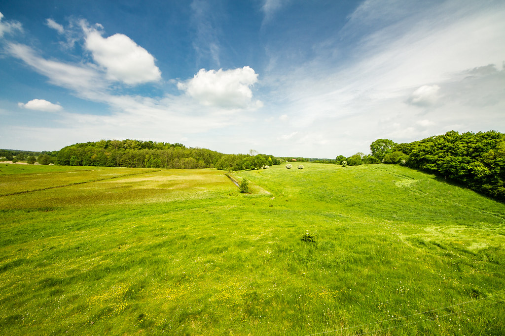
Fields of Barley

Fields of Barley

Fields of Barley

Feed me!

The Eye

Metropolregion Hamburg: Ausflug an den Schaalsee • Hamburg Metropolitan Region: Trip to the Schaalsee

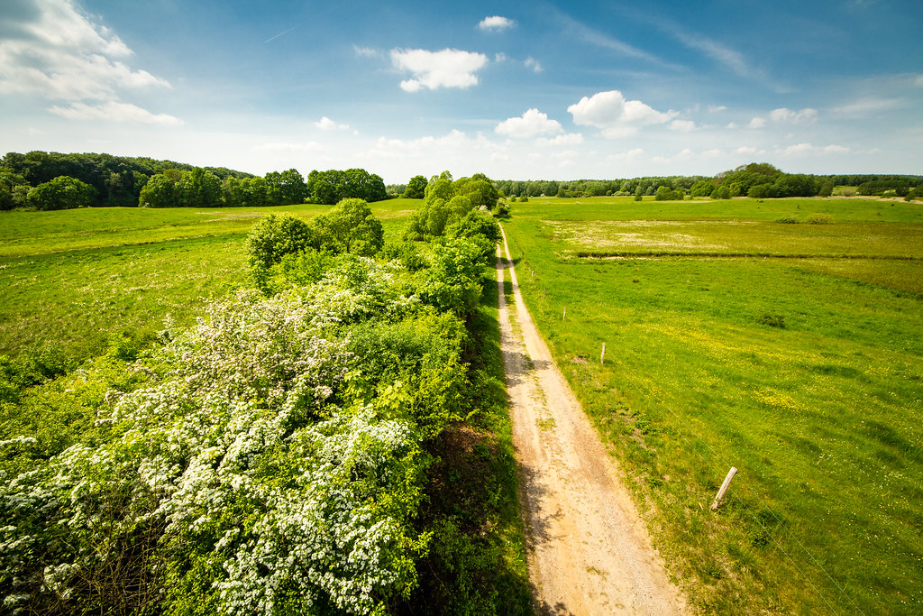
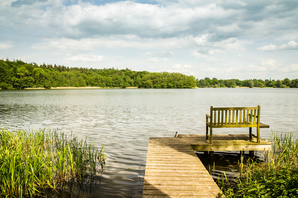
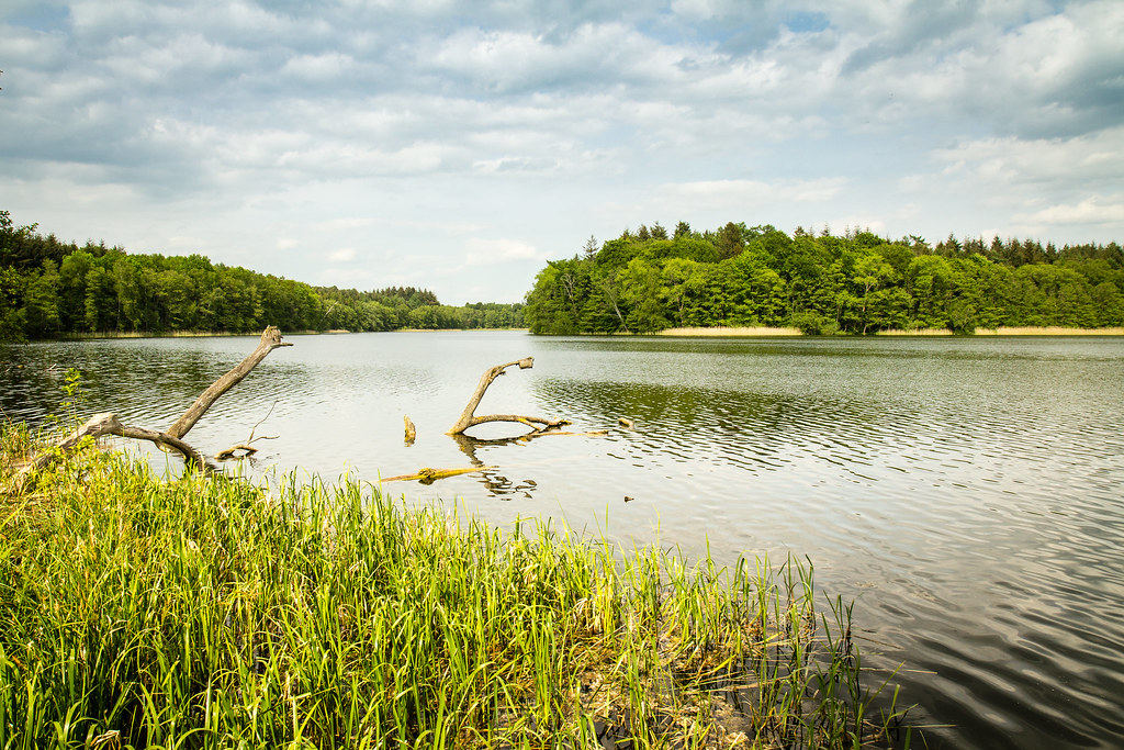
Schaalsee Region
Kneese 03.jpg

Seedorf 31.jpg

Seedorf 27.jpg

Seedorf 29.jpg

Seedorf 32.jpg

Seedorf 28.jpg

durch dir Wildnis
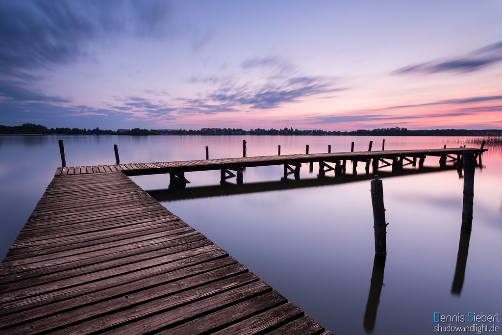
Ein Abend am See
Kneese 02.jpg

Seedorf 30.jpg
Seedorf 18.jpg

Seedorf 22.jpg

Teichrosen in der Boize

Klein Zecher 14.jpg

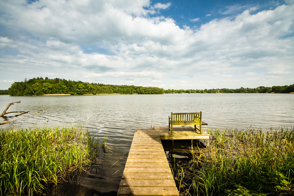
die Boize
Seedorf 15.jpg

Sunset - 1. May in Neuenkirchen (Zarrentin am Schalsee), Mecklenburg-Vorpommern
Seedorf 16.jpg
Topographic Map of Zarrentin am Schaalsee, Germany
Find elevation by address:

Places in Zarrentin am Schaalsee, Germany:
Places near Zarrentin am Schaalsee, Germany:
Hauptstraße 25, Lüttow-Valluhn, Germany
Lüttow
Dorfstraße 40, Zarrentin am Schaalsee, Germany
Lassahn
Lüttow-valluhn
Hauptstraße 18, Zarrentin am Schaalsee, Germany
Seedorf
Neuhof
Dorfstraße 1, Seedorf, Germany
Dorfstraße 2, Gudow, Germany
Sophienthal
Gudow
Am Segelhafen 19, Gudow, Germany
4a
Wittenburg
Roggendorf
Krembz
Stöllnitz
22a
Zum Forsthaus 5, Krembz, Germany
Recent Searches:
- Elevation of Estates Loop, Priest River, ID, USA
- Elevation of Woodland Oak Pl, Thousand Oaks, CA, USA
- Elevation of Brownsdale Rd, Renfrew, PA, USA
- Elevation of Corcoran Ln, Suffolk, VA, USA
- Elevation of Mamala II, Sariaya, Quezon, Philippines
- Elevation of Sarangdanda, Nepal
- Elevation of 7 Waterfall Way, Tomball, TX, USA
- Elevation of SW 57th Ave, Portland, OR, USA
- Elevation of Crocker Dr, Vacaville, CA, USA
- Elevation of Pu Ngaol Community Meeting Hall, HWHM+3X7, Krong Saen Monourom, Cambodia