Elevation of Zanderson Ave, Jourdanton, TX, USA
Location: United States > Texas > Atascosa County >
Longitude: -98.546522
Latitude: 28.917865
Elevation: 143m / 469feet
Barometric Pressure: 100KPa
Elevation Map:
Satellite Map:
Related Photos:
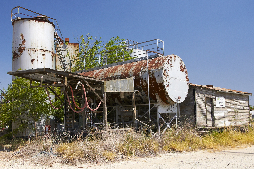
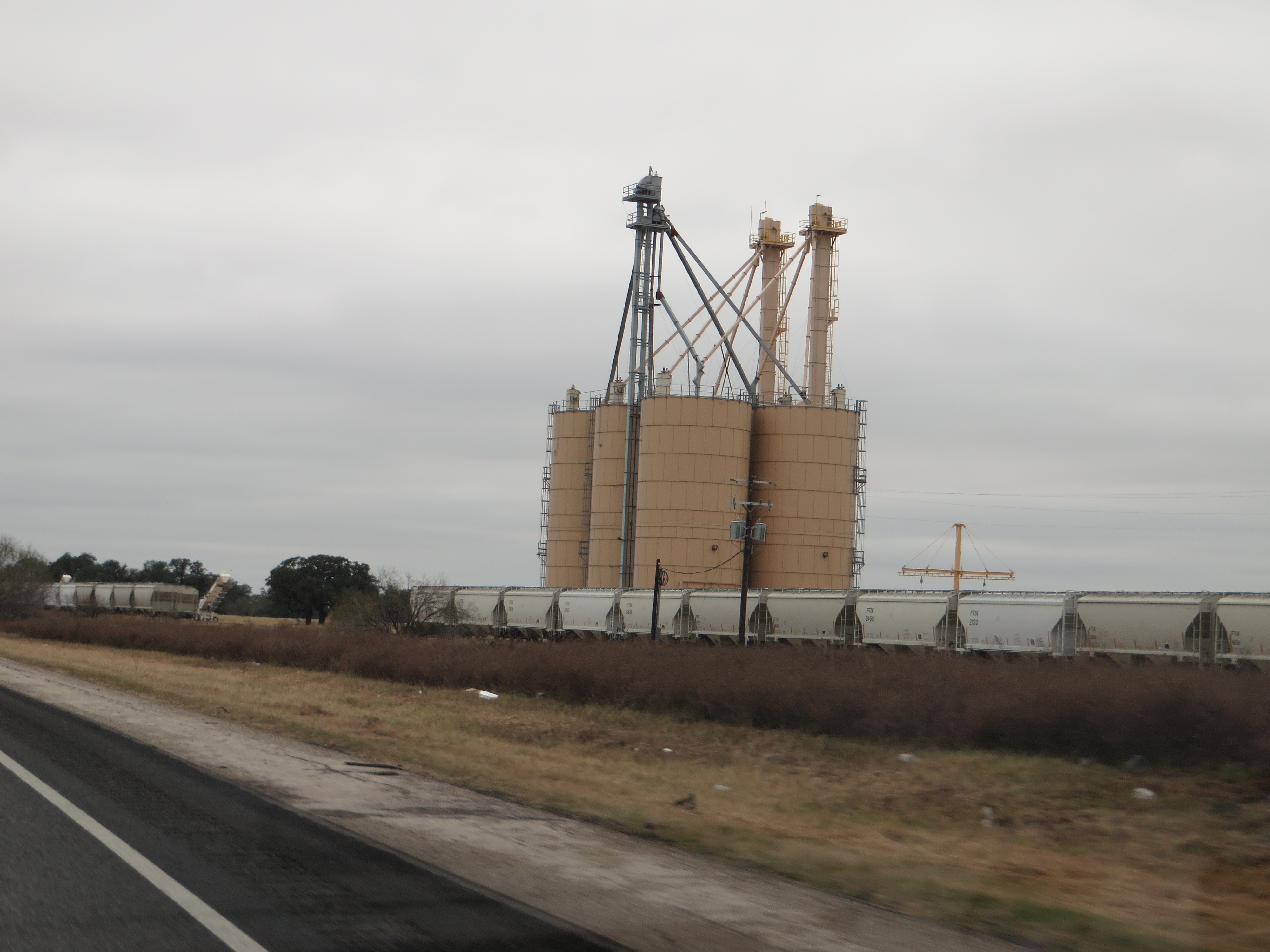
Fuel Depot
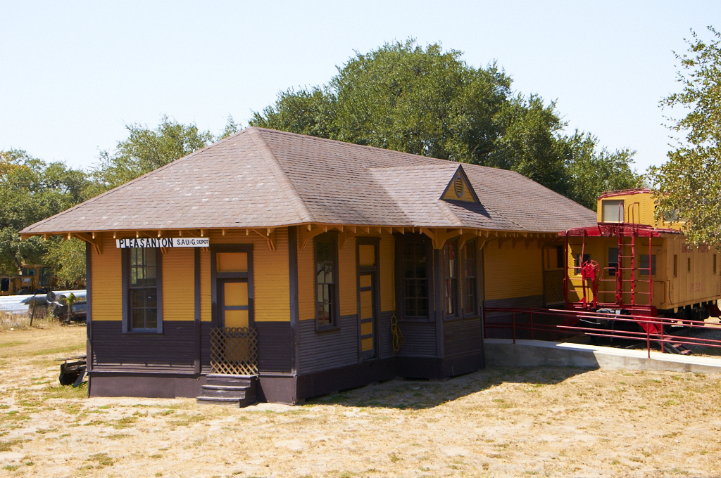
Train Depot
Double strut

Sunset on Mydeana lake

Mydeana Lake
STex-5

Atascosa River

Pleasanton Country Club

Strawberry Festival

Luna's, good side...

Luna, relaxing on the patio couch, watching College Game Day!

Big rainfall damage...

Big rainfall damage...

Sunday Motor Cycle Riders #biker #bikers #bikerworld #bikers_life #brotherhood #goldwing #honda

Christmas Humor!

Interstate 37 Between San Antonio and Corpus Christi, Texas
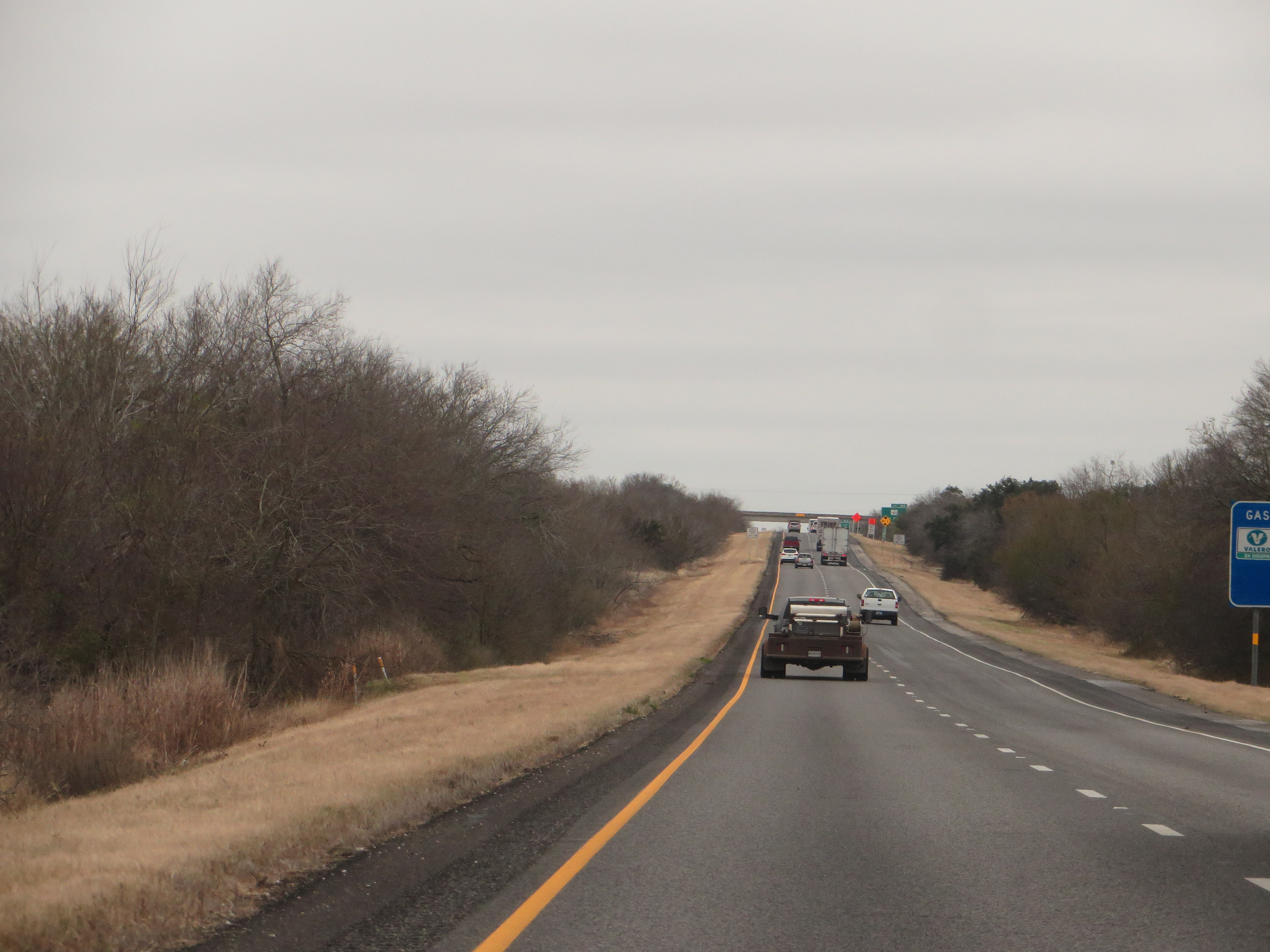
Interstate 37 Between San Antonio and Corpus Christi, Texas
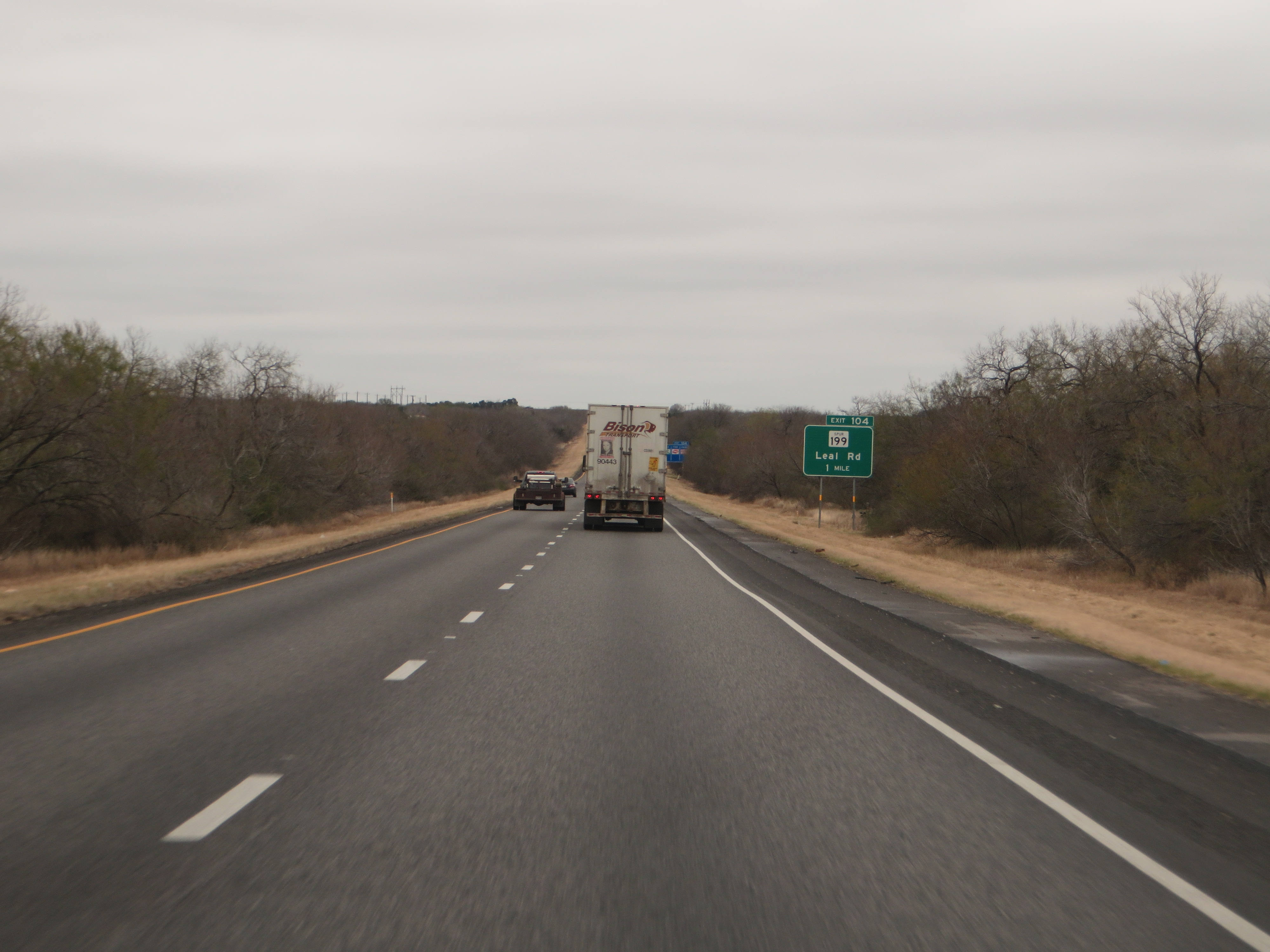
Interstate 37 Between San Antonio and Corpus Christi, Texas

Interstate 37 Between San Antonio and Corpus Christi, Texas
Interstate 37 Between San Antonio and Corpus Christi, Texas

Interstate 37 Between San Antonio and Corpus Christi, Texas
Atascosa - Jordanton
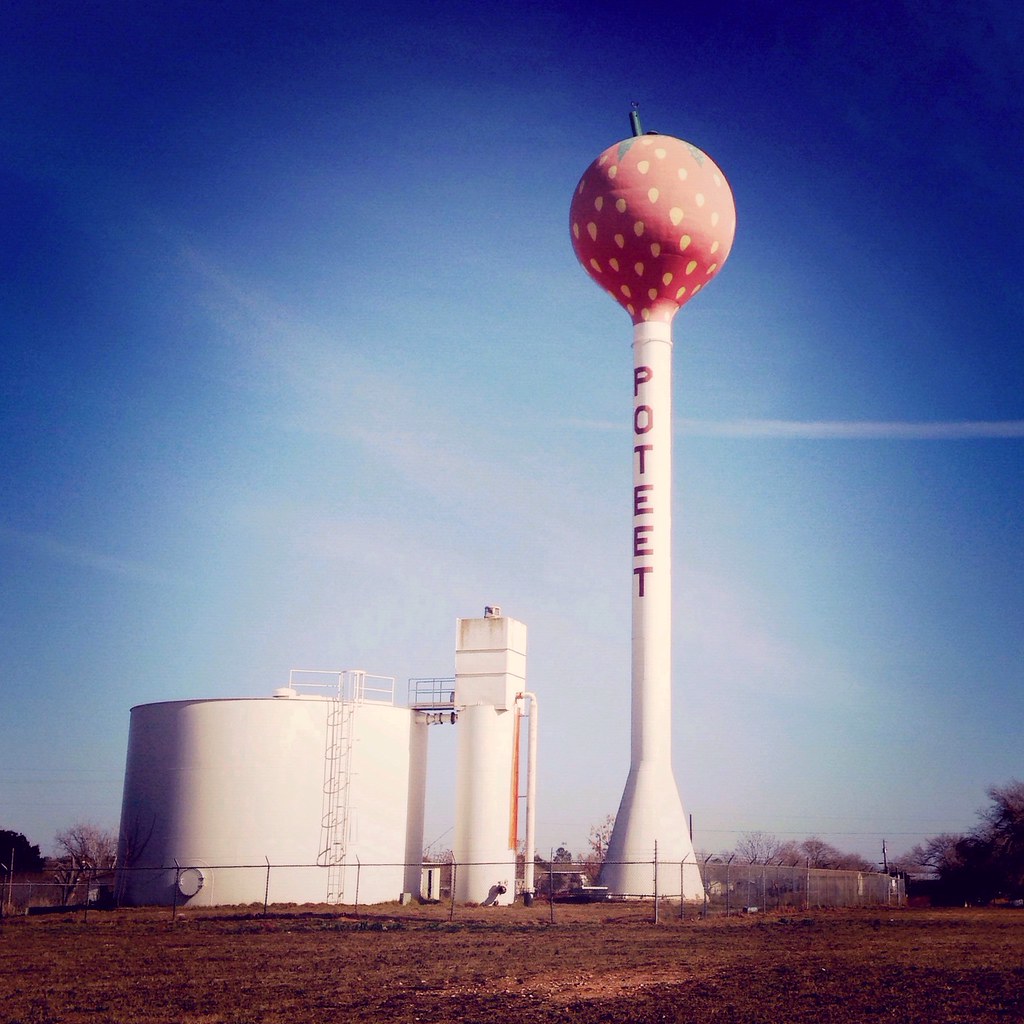
"strawberry capital of the world"
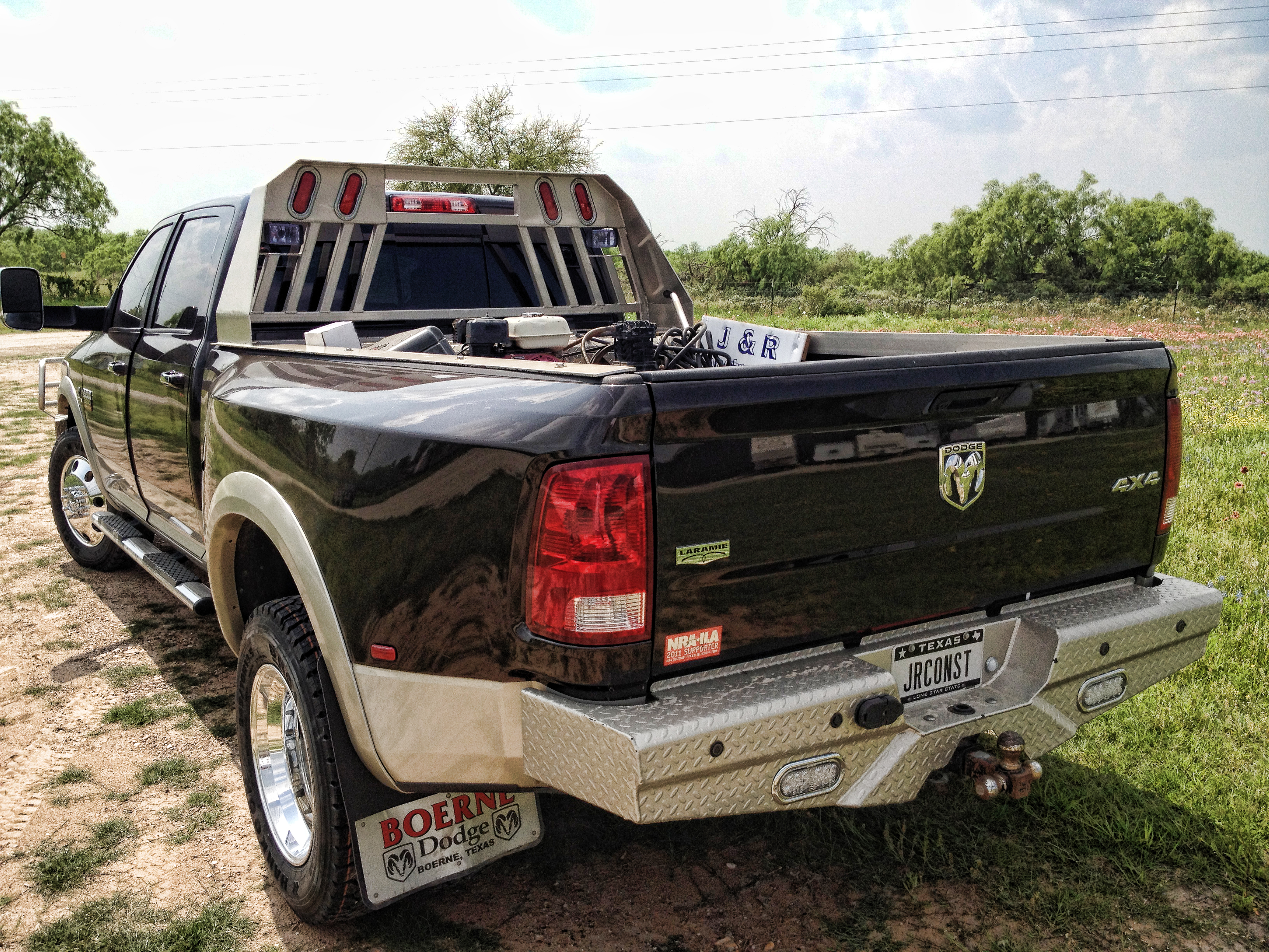
DIRECT BOLT-ON --- 2012 DODGE 3500 19.5 CLASSIC WORK
Topographic Map of Zanderson Ave, Jourdanton, TX, USA
Find elevation by address:

Places near Zanderson Ave, Jourdanton, TX, USA:
Jourdanton
1507 Kimberly Cir
Atascosa County
FM, Jourdanton, TX, USA
Pleasanton
FM, Jourdanton, TX, USA
Poteet
16 I Ave, Pleasanton, TX, USA
6030 Fm1470
Old, Pleasanton, TX, USA
Leming
30 Edwards Ave, Charlotte, TX, USA
Charlotte
US-, Pleasanton, TX, USA
Brown Rd, Poteet, TX, USA
Savannah Woods
River St, Jourdanton, TX, USA
1460 Martinez Losoya Rd
Somerset
FM, San Antonio, TX, USA
Recent Searches:
- Elevation of Unnamed Road, Respublika Severnaya Osetiya — Alaniya, Russia
- Elevation of Verkhny Fiagdon, North Ossetia–Alania Republic, Russia
- Elevation of F. Viola Hiway, San Rafael, Bulacan, Philippines
- Elevation of Herbage Dr, Gulfport, MS, USA
- Elevation of Lilac Cir, Haldimand, ON N3W 2G9, Canada
- Elevation of Harrod Branch Road, Harrod Branch Rd, Kentucky, USA
- Elevation of Wyndham Grand Barbados Sam Lords Castle All Inclusive Resort, End of Belair Road, Long Bay, Bridgetown Barbados
- Elevation of Iga Trl, Maggie Valley, NC, USA
- Elevation of N Co Rd 31D, Loveland, CO, USA
- Elevation of Lindever Ln, Palmetto, FL, USA