Elevation of Zalingei, Sudan
Location: Sudan > Gharb Darfur > Zallingi >
Longitude: 23.47687
Latitude: 12.89985
Elevation: 900m / 2953feet
Barometric Pressure: 91KPa
Elevation Map:
Satellite Map:
Related Photos:

Mangos Miri Aba

Rizeiqat woman making water pot 1984

Cobbler, Zalingei suq 1984

Women selling tomatoes

Miri Aba b

Miri Aba a

Girls collecting water in Wadi nr. Zalingei 2
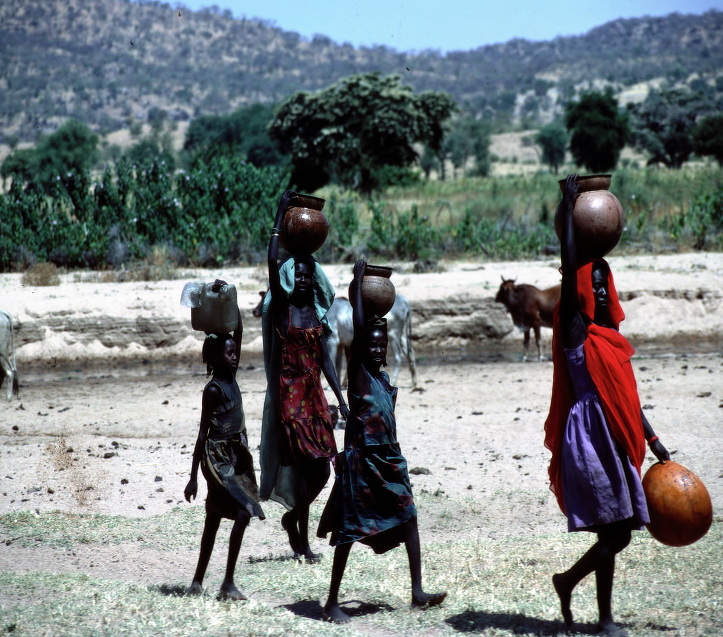
Girls collecting water in Wadi nr. Zalingei 1
Topographic Map of Zalingei, Sudan
Find elevation by address:

Places near Zalingei, Sudan:
Recent Searches:
- Elevation of 6 Muir St, Medowie NSW, Australia
- Elevation of Woodland Road, Woodland Rd, Lee, MA, USA
- Elevation of Turner Mill Rd, Talladega, AL, USA
- Elevation of Wylie Ridge Rd, New Cumberland, WV, USA
- Elevation of Dogwood Ln, Millsboro, DE, USA
- Elevation of Paseo Lucido, San Diego, CA, USA
- Elevation of W S, Orem, UT, USA
- Elevation of Water Bird Wy, Punta Gorda, FL, USA
- Elevation of Teiskontie 8, Tampere, Finland
- Elevation of Pacific View Dr, Malibu, CA, USA