Elevation of Yuza, Akumi District, Yamagata Prefecture, Japan
Location: Japan > Yamagata Prefecture > Akumi District >
Longitude: 139.907352
Latitude: 39.0146158
Elevation: 14m / 46feet
Barometric Pressure: 101KPa
Elevation Map:
Satellite Map:
Related Photos:

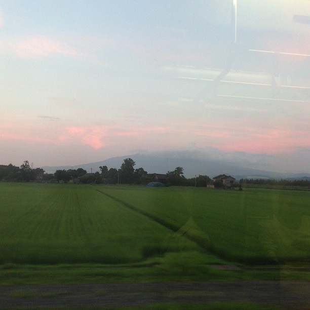
Night views of Shonai Plain (庄内平野の夜景)
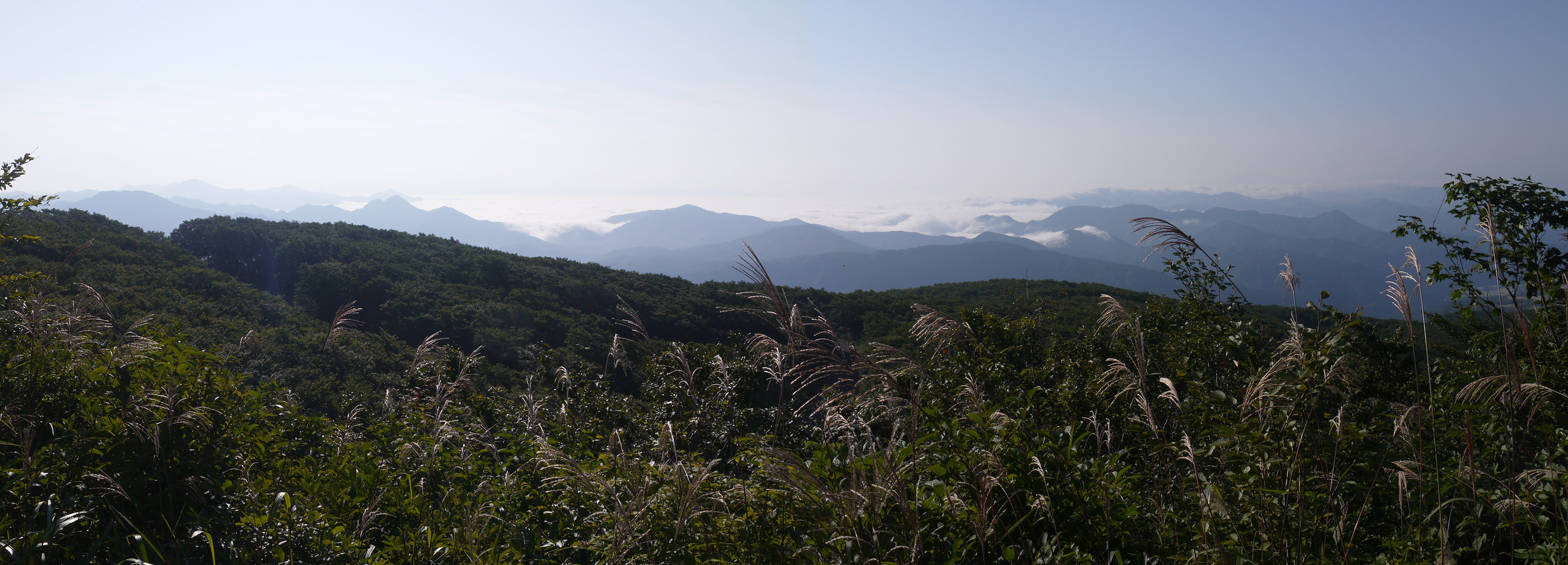
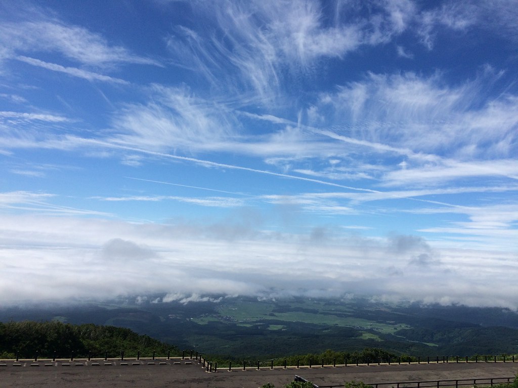
a sea of clouds, view from Yunodaiguchi
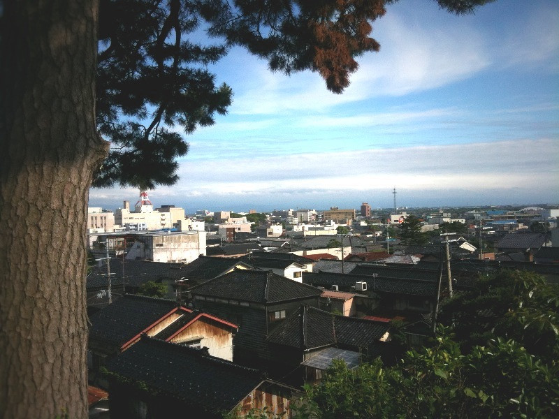
Sakata, Yamagata
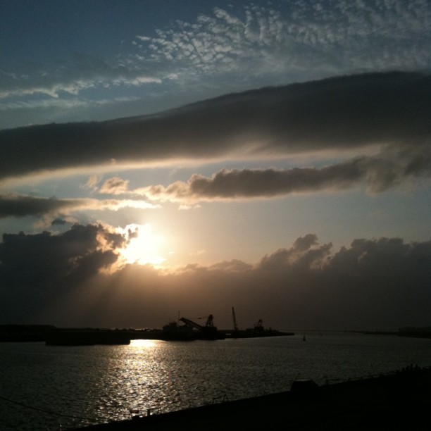
Thanks Today

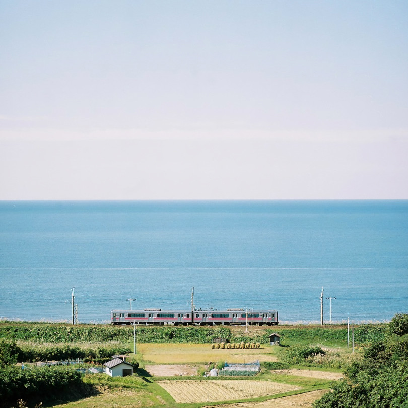
IMG_1385-1
2014#006
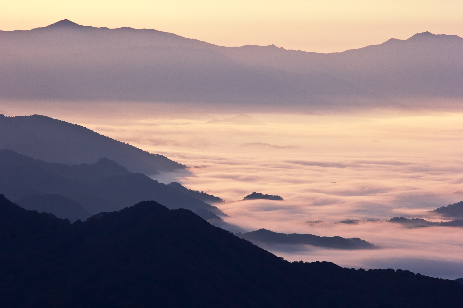
雲海
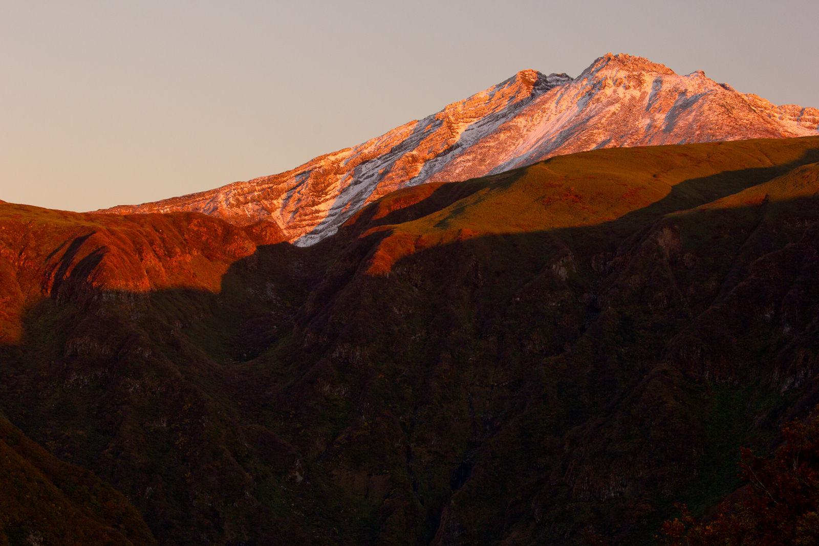
鳥海山
飛島
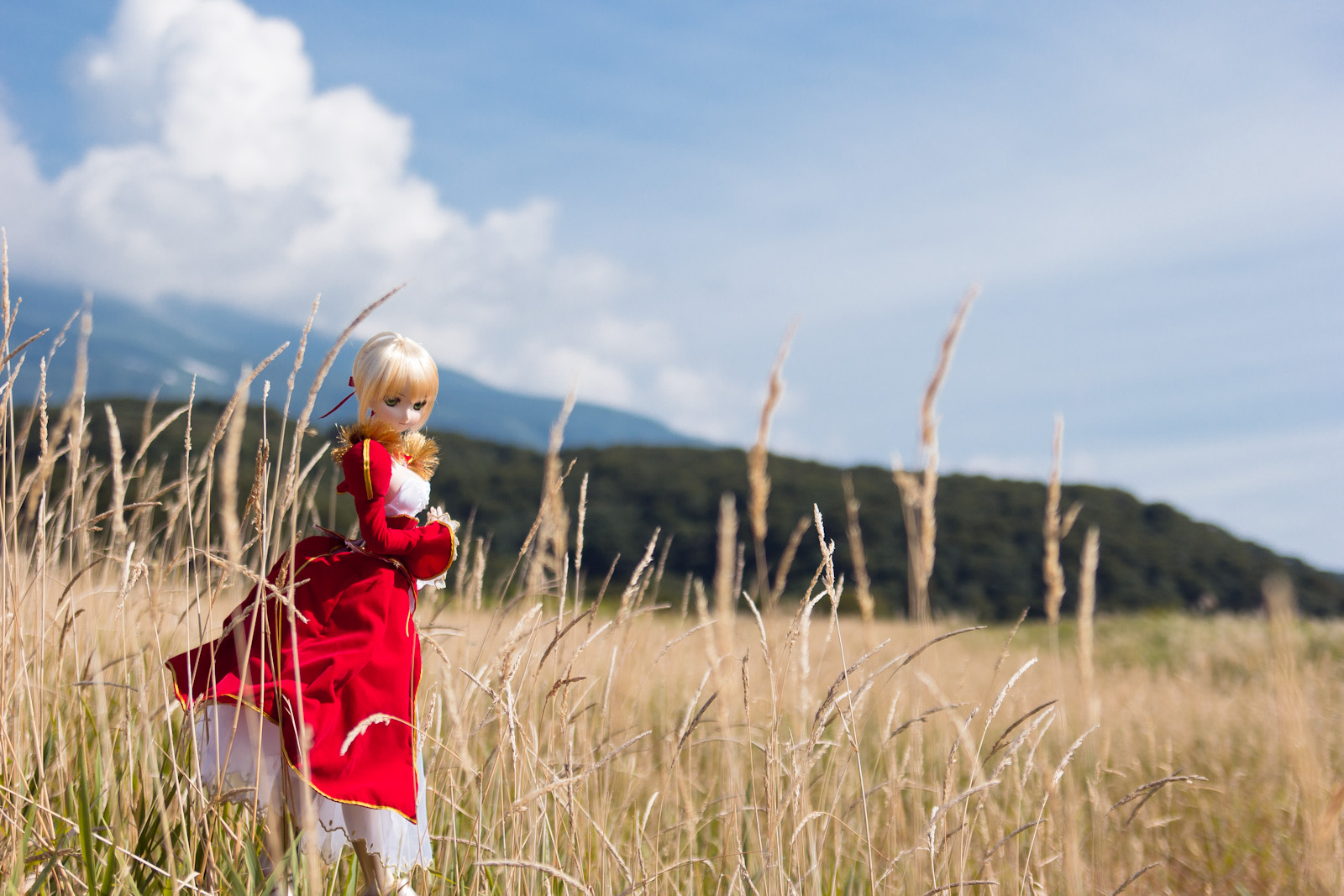
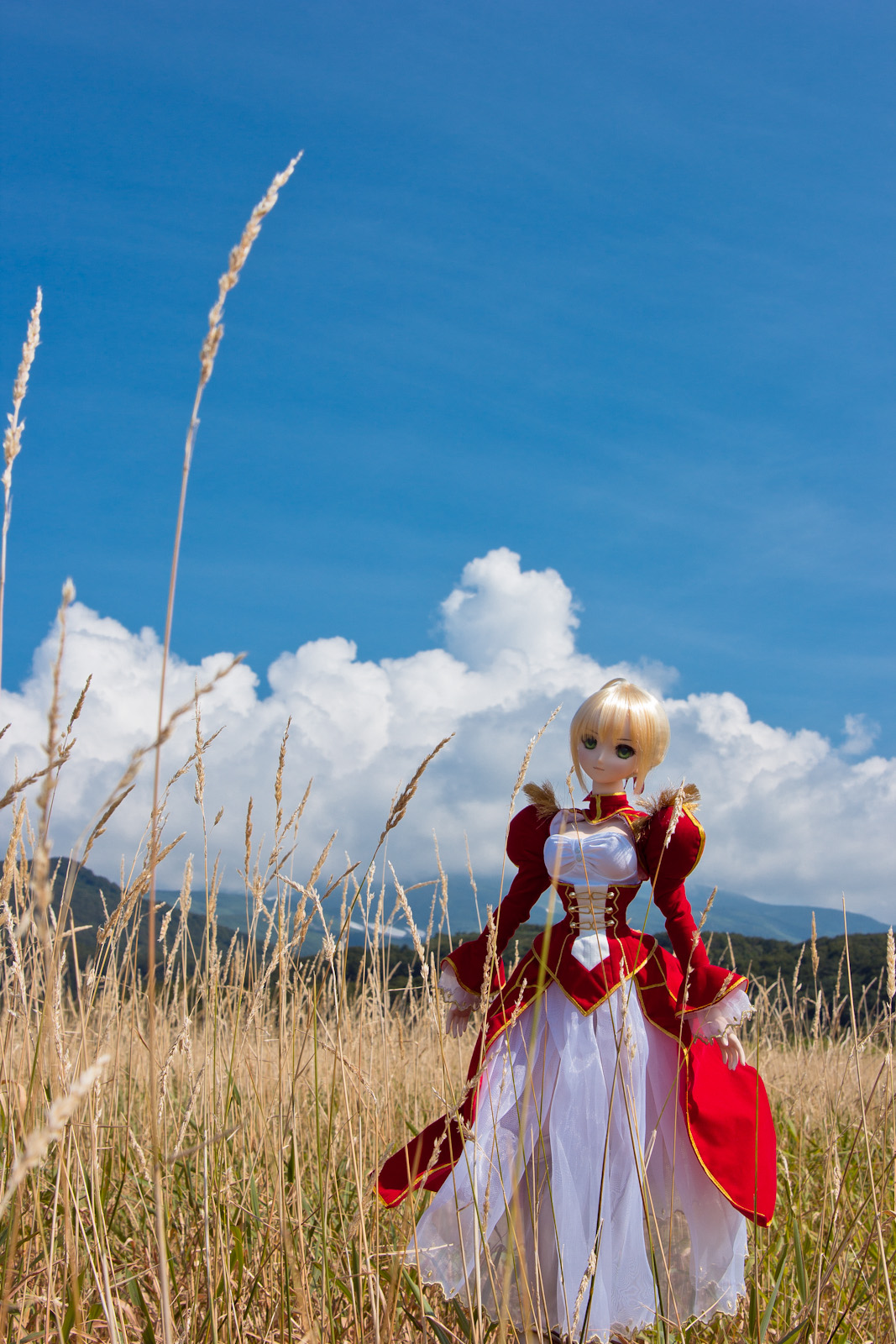
DD Saber Extra 1
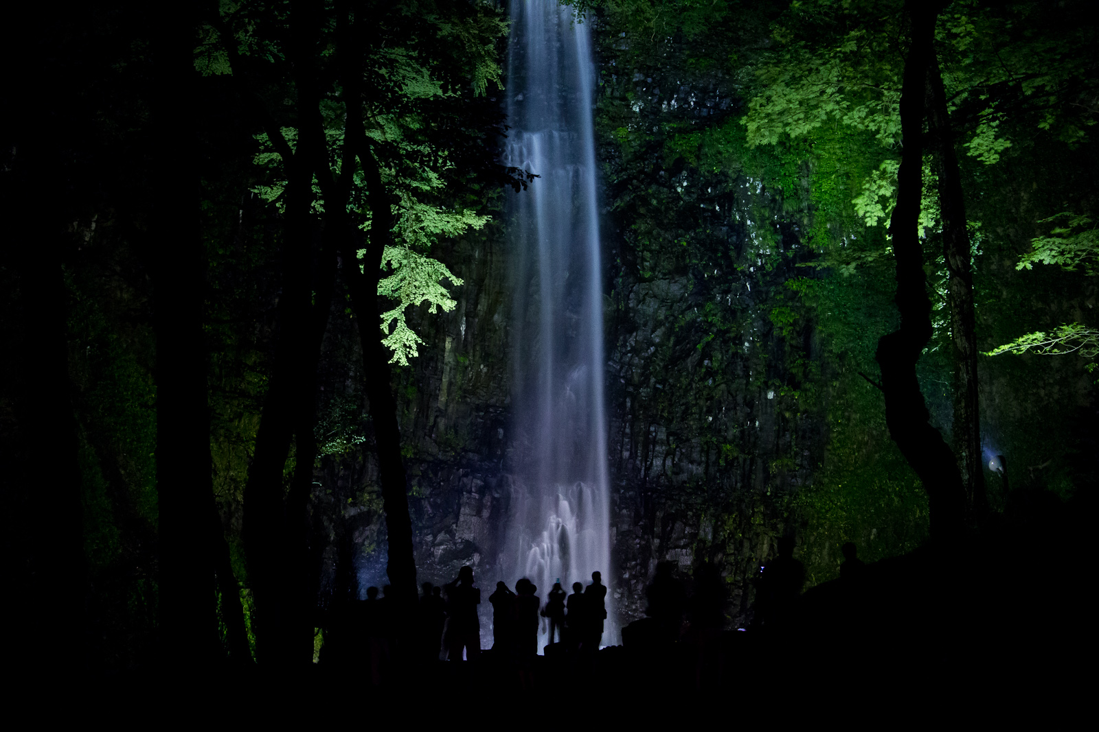
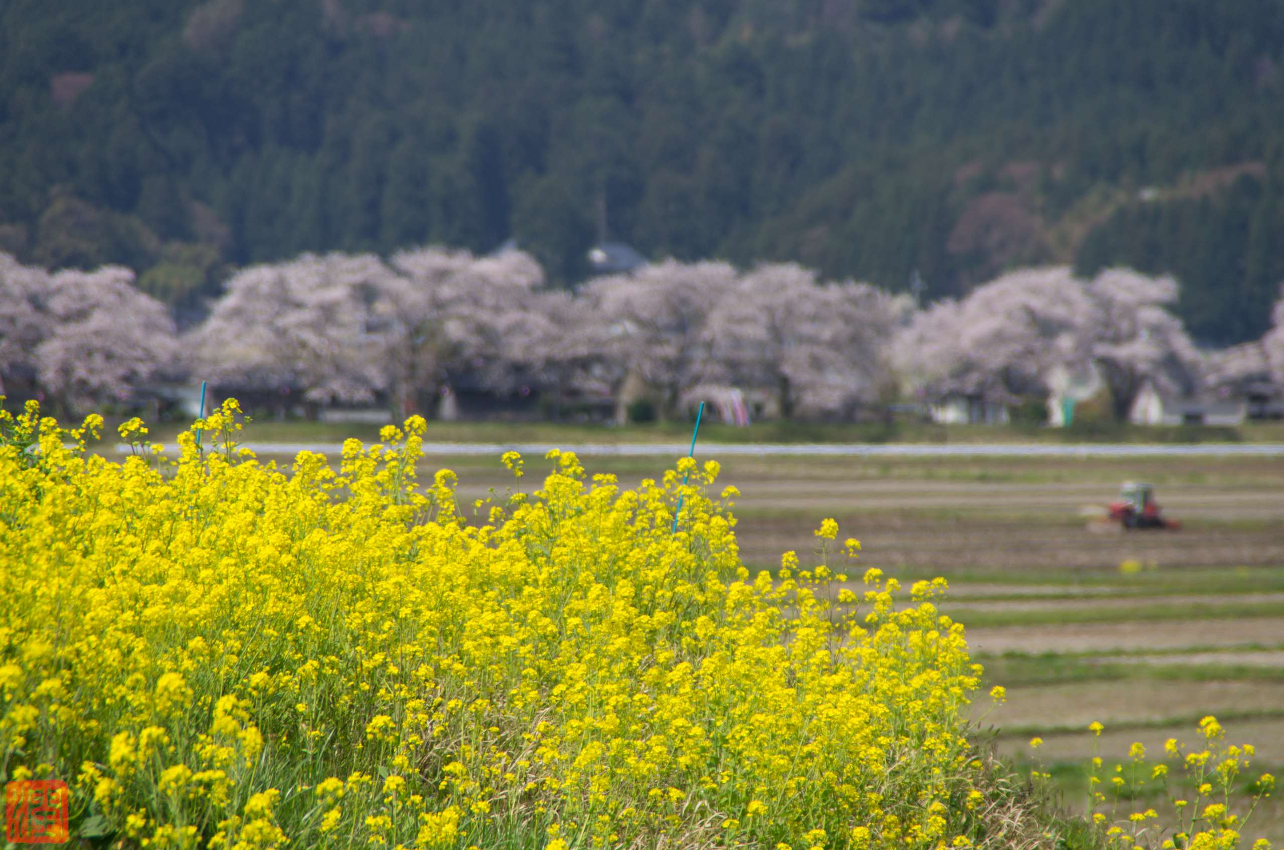
Light Up Tamasudare-no-taki Waterfalls (玉簾の滝 ライトアップ 2013夏)

Climbing Mt Chokai the Highest Peak in Akita - Pretty Alpine Lake Midway (2012:022)

201507青森〜新潟〜福島
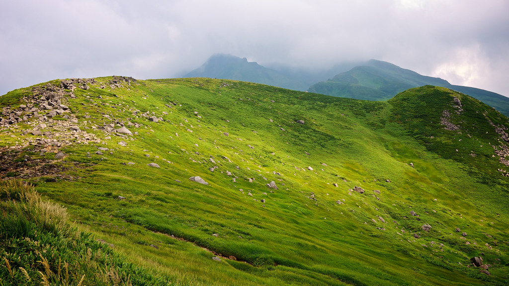
Climbing Mt Chokai the Highest Peak in Akita - Mountain Ridge (2012:023)
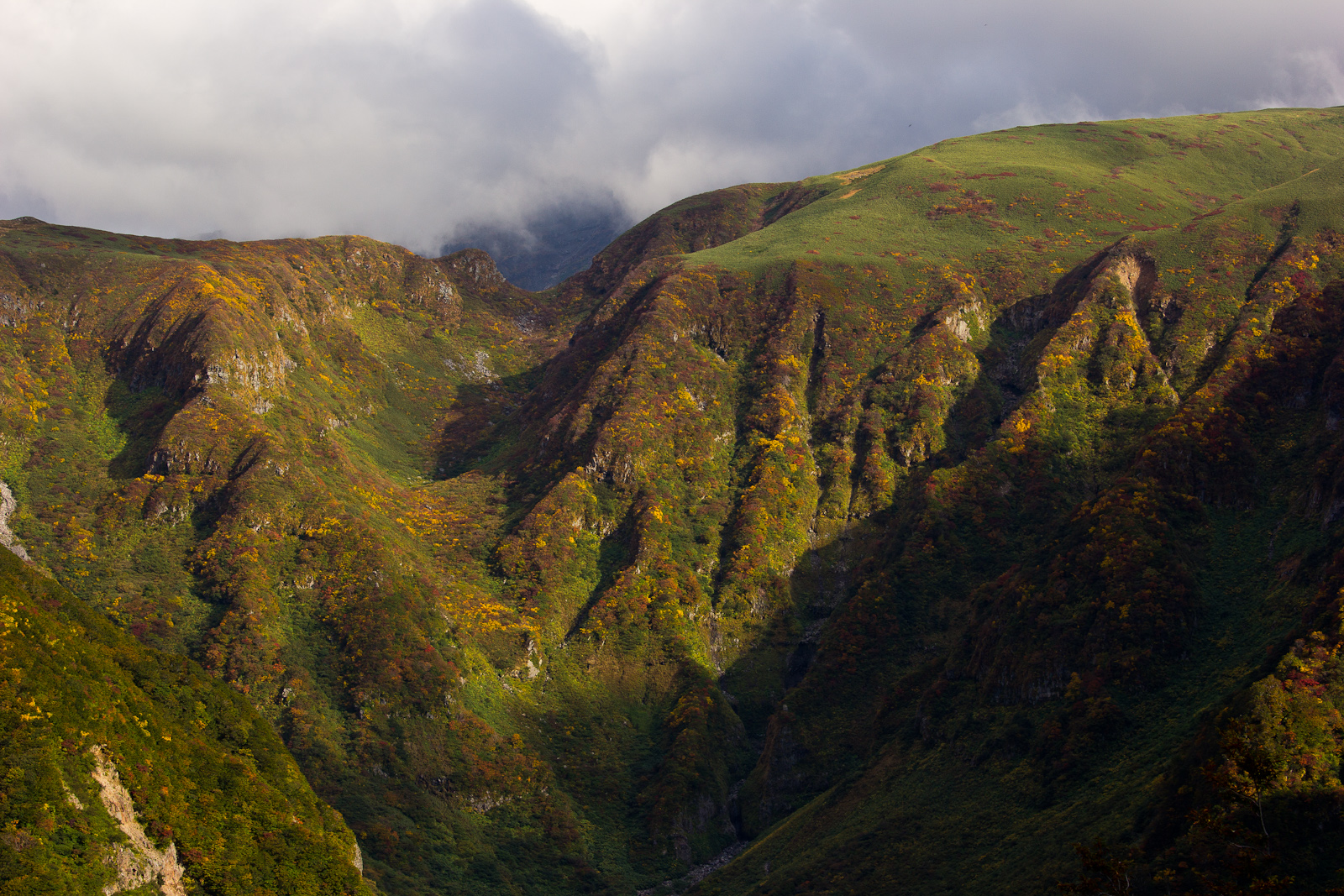
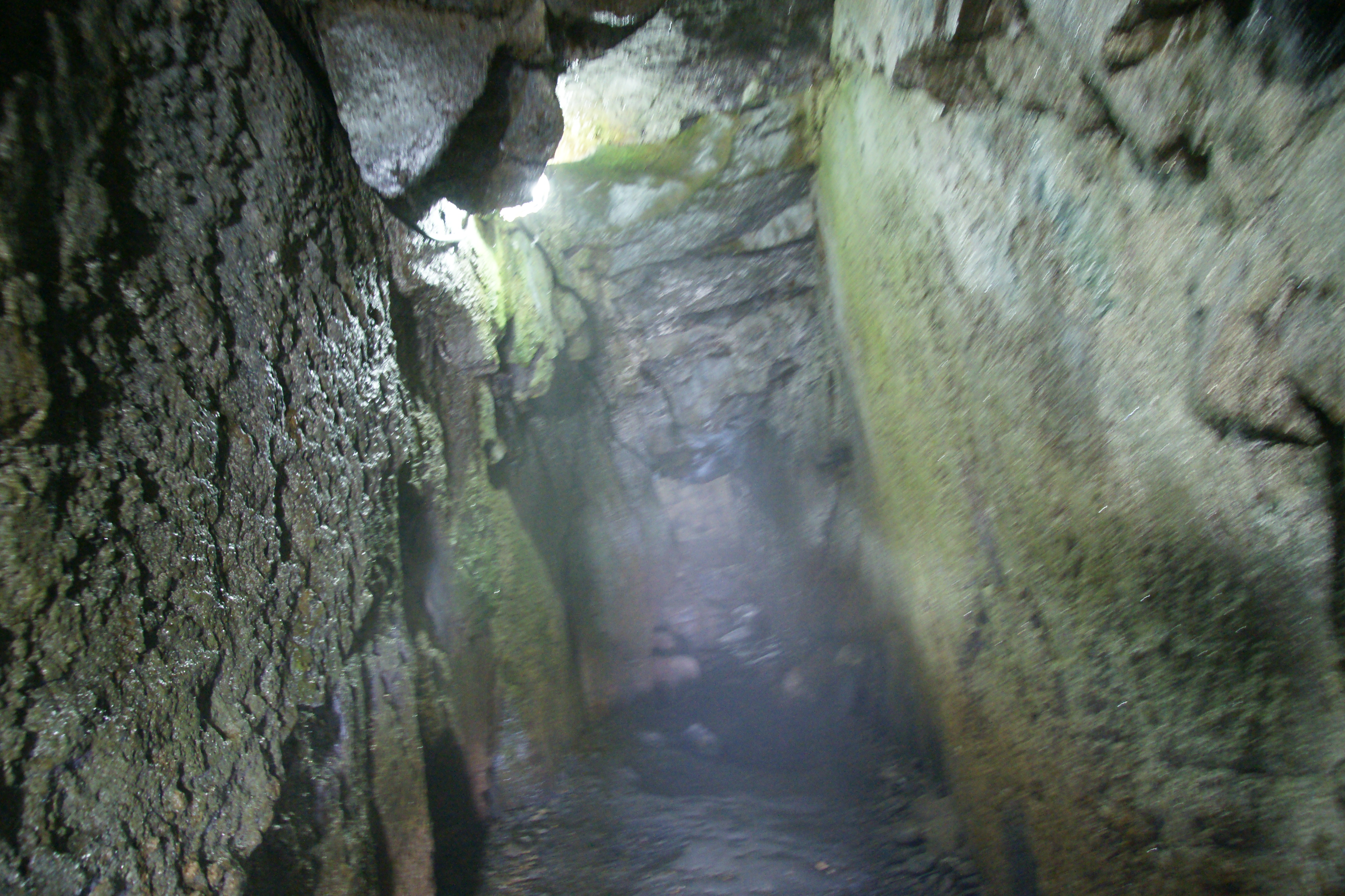
鳥海山 奈曾渓谷
201507青森〜新潟〜福島

冬の雲じゃない( ̄◇ ̄;) なんか邪悪な感じ
夕空と 雲に覆われ 鳥海山 #genの一句
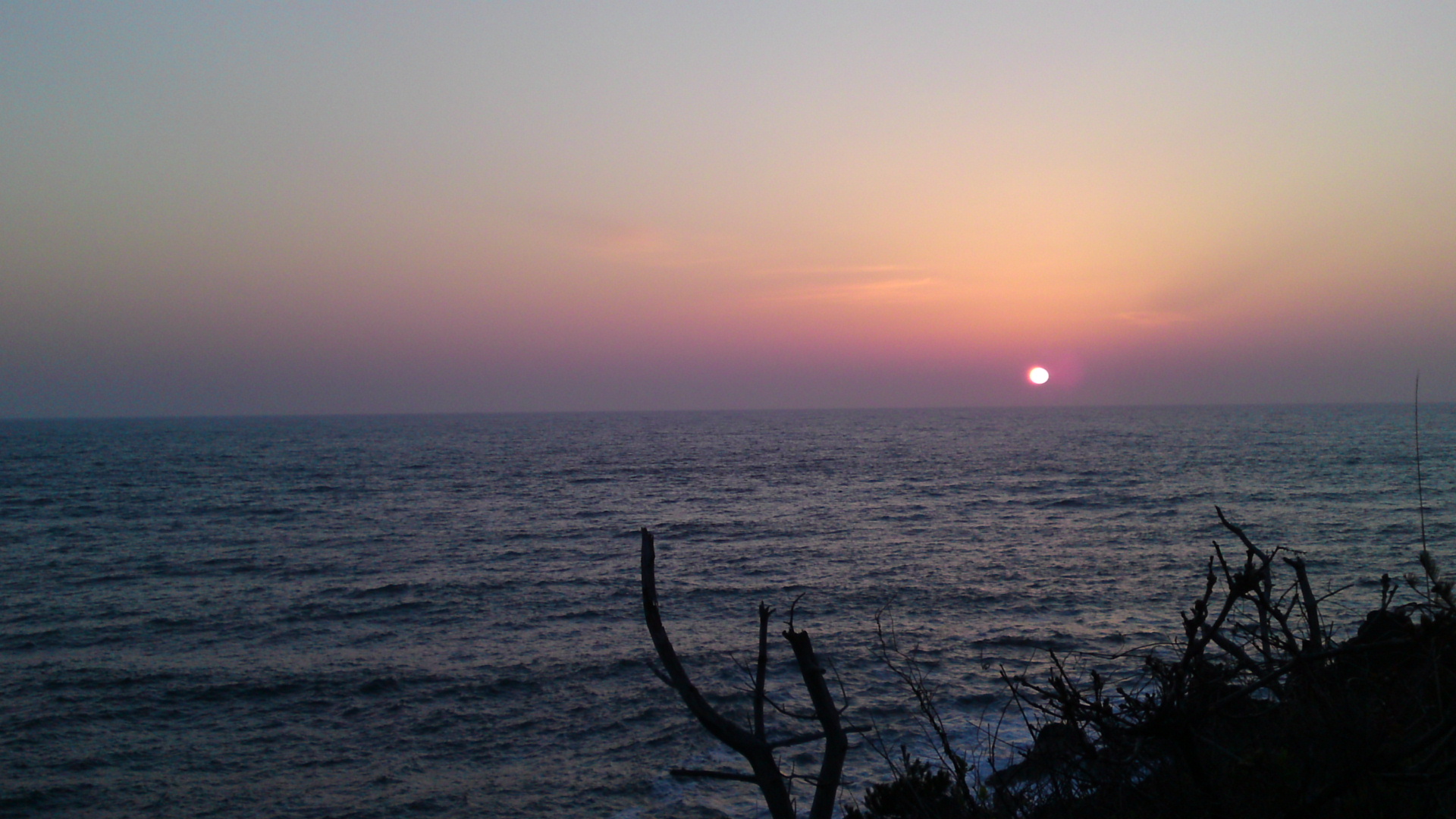
ほぼ秋田県に入ったところで見れた夕陽 〜。やっぱり、東北道淡々と…より、新潟回りが楽しい!
s-IMGP1105-33

2013-09-20 15.14.20
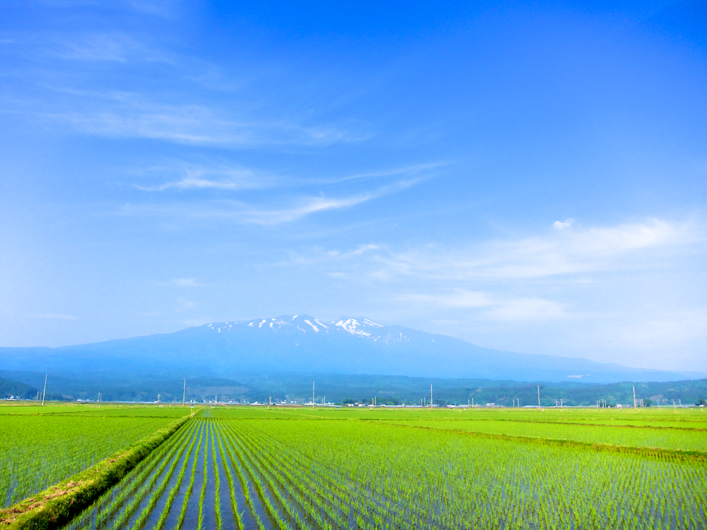
Mt. Chokai 1
DD Saber Extra 5

2013-09-20 14.17.57
Topographic Map of Yuza, Akumi District, Yamagata Prefecture, Japan
Find elevation by address:

Places in Yuza, Akumi District, Yamagata Prefecture, Japan:
Fukura
Ōishizawakita-45 Shirai Shinden, Yuza-machi, Akumi-gun, Yamagata-ken -, Japan
Nakakomatsu-38 Komatsu, Yuza-machi, Akumi-gun, Yamagata-ken -, Japan
Places near Yuza, Akumi District, Yamagata Prefecture, Japan:
Akumi District
Nakakomatsu-38 Komatsu, Yuza-machi, Akumi-gun, Yamagata-ken -, Japan
Ōishizawakita-45 Shirai Shinden, Yuza-machi, Akumi-gun, Yamagata-ken -, Japan
Fukura
4 Chome-17-1 Shinbashi, Sakata-shi, Yamagata-ken -, Japan
Oda-14-66 Kisakatamachi Kosagawa, Nikaho-shi, Akita-ken -, Japan
Sakata
Nakadai--4 Sagoshi, Sakata-shi, Yamagata-ken -, Japan
Shonai
Mount Chōkai
Nikaho
Ippongi-14 Kisakatamachi, Nikaho-shi, Akita-ken -, Japan
Sakuragi-25 Oshikiri Shinden, Mikawa-machi, Higashitagawa-gun, Yamagata-ken -, Japan
Mikawa
Higashitagawa District
Nogiwa-30 Yashimamachi Arasawa, Yurihonjō-shi, Akita-ken -, Japan
Takinoue Chōkaimachi Momoyake
Takinoue-24 Chōkaimachi Momoyake, Yurihonjō-shi, Akita-ken -, Japan
Hanadate-90 Yashimamachi Jōnai, Yurihonjō-shi, Akita-ken -, Japan
Yoshihara-43 Chōkaimachi Sarukura, Yurihonjō-shi, Akita-ken -, Japan
Recent Searches:
- Elevation of Corso Fratelli Cairoli, 35, Macerata MC, Italy
- Elevation of Tallevast Rd, Sarasota, FL, USA
- Elevation of 4th St E, Sonoma, CA, USA
- Elevation of Black Hollow Rd, Pennsdale, PA, USA
- Elevation of Oakland Ave, Williamsport, PA, USA
- Elevation of Pedrógão Grande, Portugal
- Elevation of Klee Dr, Martinsburg, WV, USA
- Elevation of Via Roma, Pieranica CR, Italy
- Elevation of Tavkvetili Mountain, Georgia
- Elevation of Hartfords Bluff Cir, Mt Pleasant, SC, USA