Elevation of Yukon Ave, Sumner, IA, USA
Location: United States > Iowa > Bremer County > Franklin >
Longitude: -92.100738
Latitude: 42.715216
Elevation: 312m / 1024feet
Barometric Pressure: 98KPa
Elevation Map:
Satellite Map:
Related Photos:
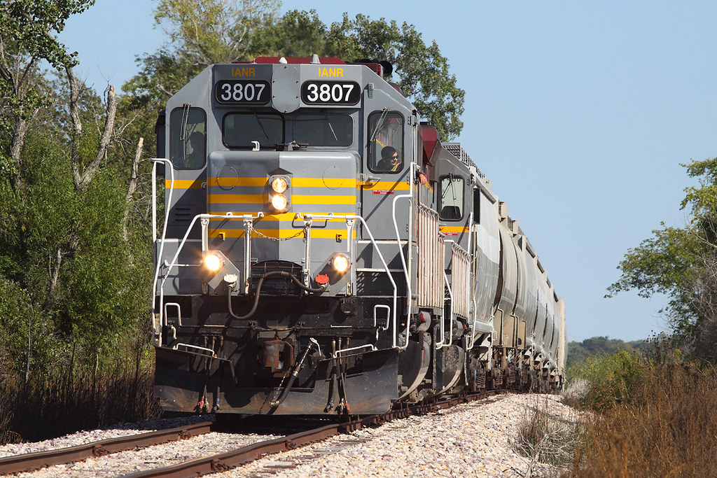
IANR 3807 on Bryant Turn, W of Oelwein, IA
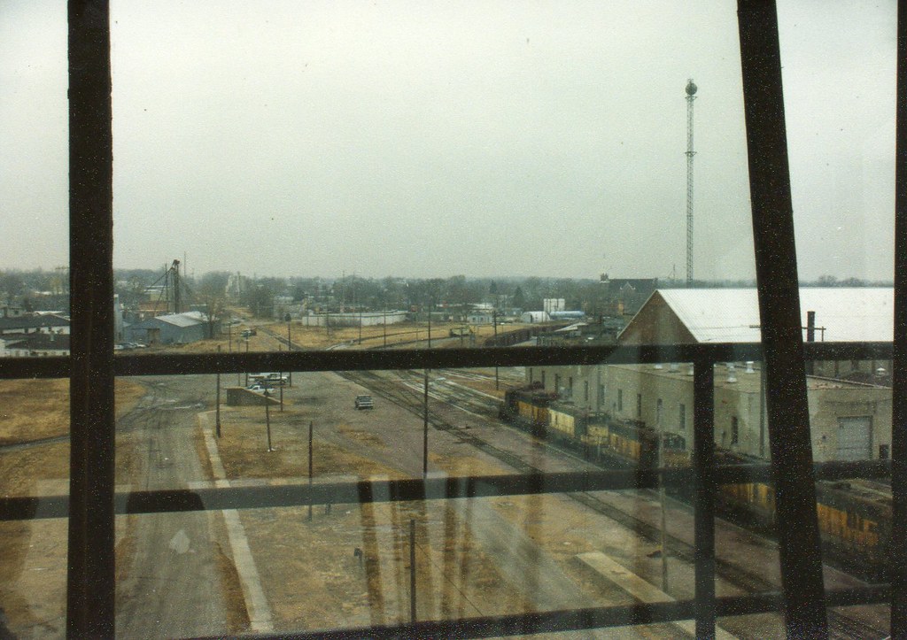
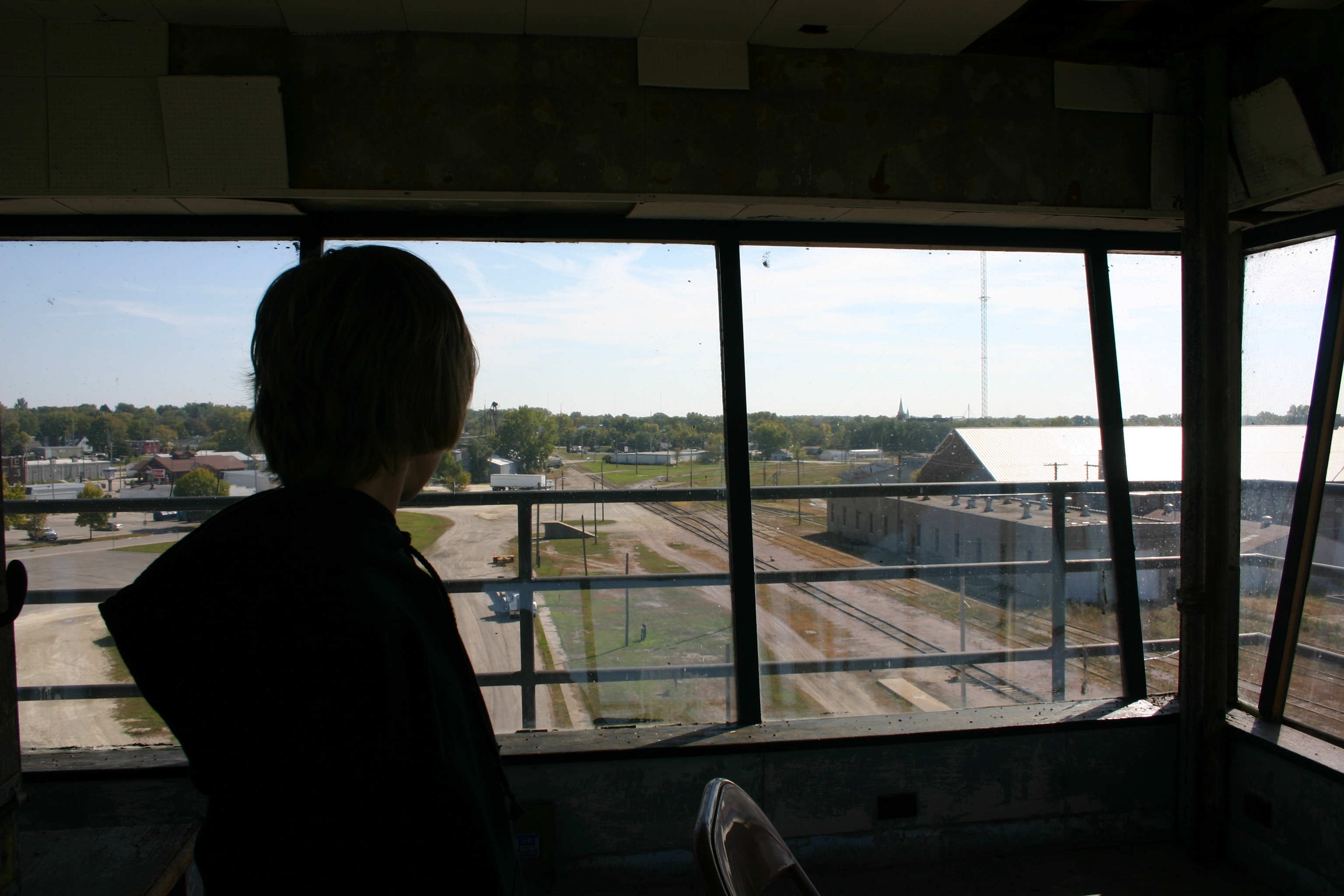
CGW Oelwein - Operator's View

Brewer's Blackbird
CGW Oelwein - Operator's View
great view
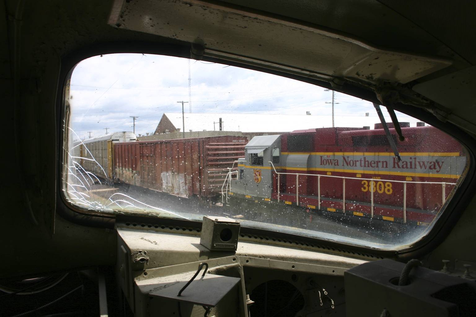
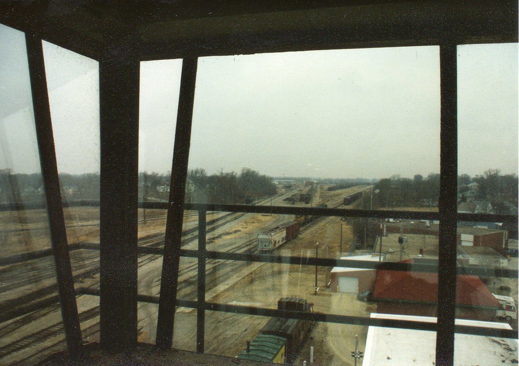
Iowa Northern viewed from the CGW FP7 cab
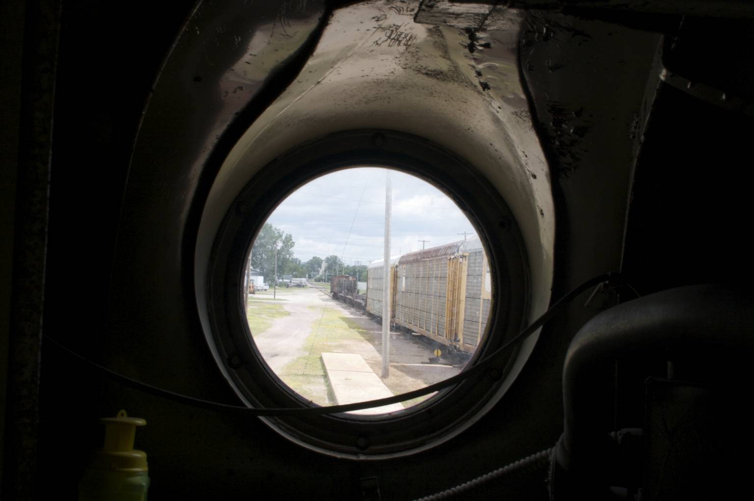
view out the front of the F
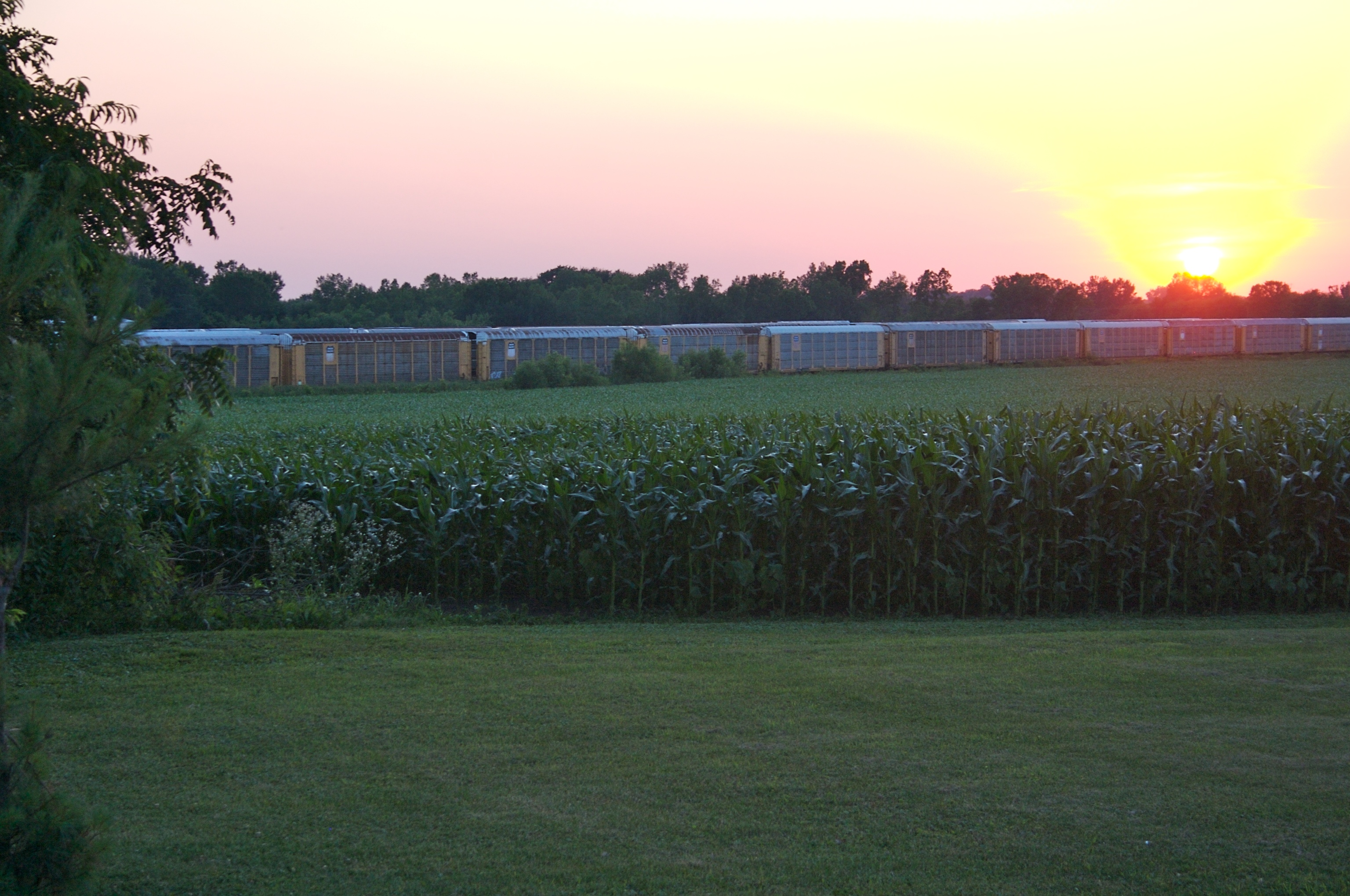
The view South
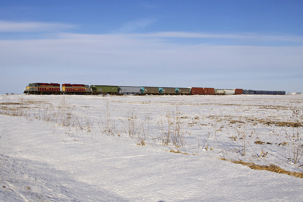
Union Pacific yard (for Jim!)
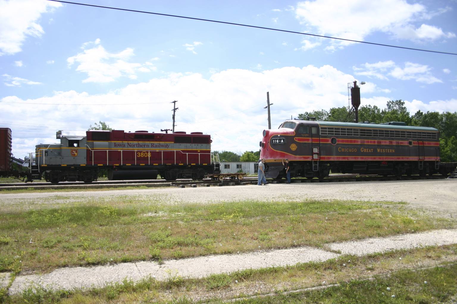
ianr 3804wabash
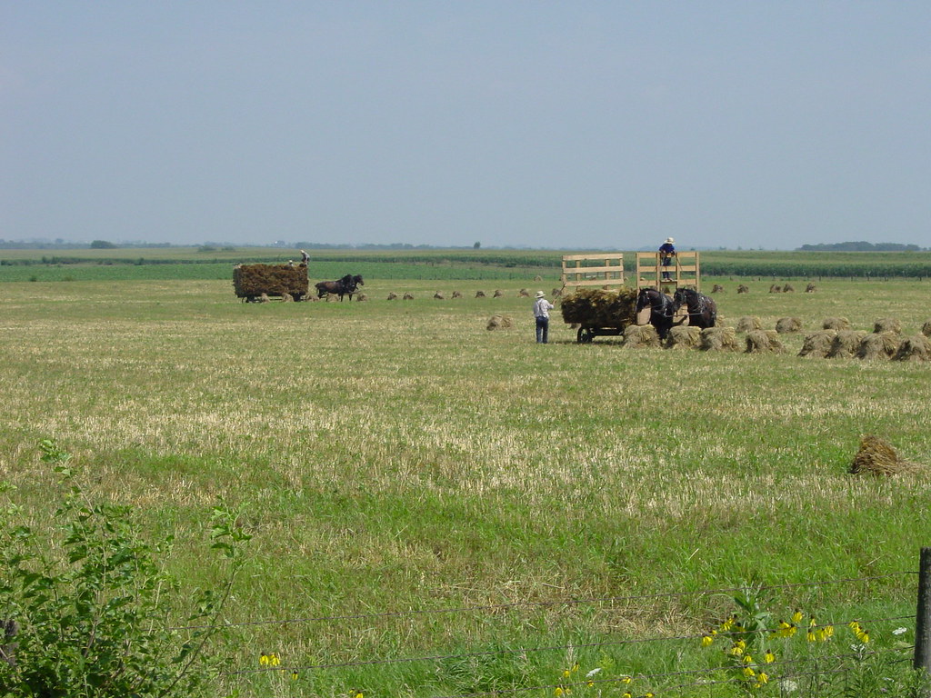
amish farmers
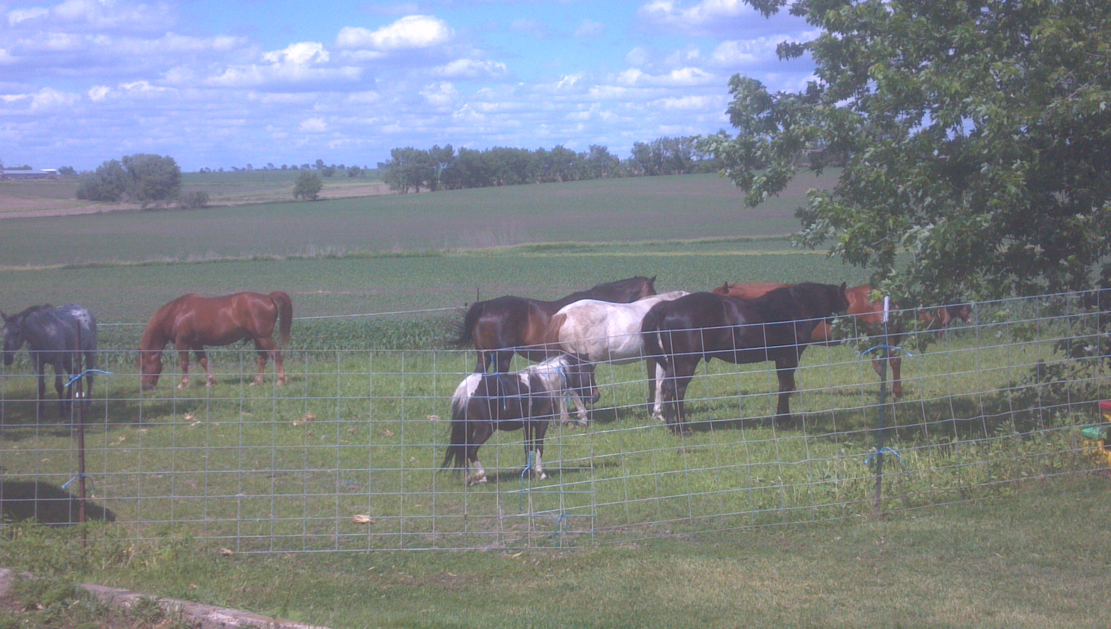
my horses
Topographic Map of Yukon Ave, Sumner, IA, USA
Find elevation by address:

Places near Yukon Ave, Sumner, IA, USA:
2379 Whitetail Ave
Franklin
Fairbank
Main St, Readlyn, IA, USA
Readlyn
Lester
Maxfield
E Dunkerton Rd, Dunkerton, IA, USA
Dunkerton
Tripoli
S Main St, Tripoli, IA, USA
6811 E Big Rock Rd
Orange Ave, Tripoli, IA, USA
Perry
Harlan
1st St, Dewar, IA, USA
Dewar
Maynard
Main St W, Maynard, IA, USA
Frederika
Recent Searches:
- Elevation of Holloway Ave, San Francisco, CA, USA
- Elevation of Norfolk, NY, USA
- Elevation of - San Marcos Pass Rd, Santa Barbara, CA, USA
- Elevation of th Pl SE, Issaquah, WA, USA
- Elevation of 82- D Rd, Captain Cook, HI, USA
- Elevation of Harlow CM20 2PR, UK
- Elevation of Shenyang Agricultural University, Dong Ling Lu, Shen He Qu, Shen Yang Shi, Liao Ning Sheng, China
- Elevation of Alpha Dr, Melbourne, FL, USA
- Elevation of Hiroshima University, 1-chōme-3-2 Kagamiyama, Higashihiroshima, Hiroshima -, Japan
- Elevation of Bernina Dr, Lake Arrowhead, CA, USA