Elevation of Youbou, BC V0R, Canada
Location: Canada > British Columbia > Cowichan Valley > Cowichan Valley I >
Longitude: -124.20001
Latitude: 48.8667023
Elevation: 168m / 551feet
Barometric Pressure: 99KPa
Elevation Map:
Satellite Map:
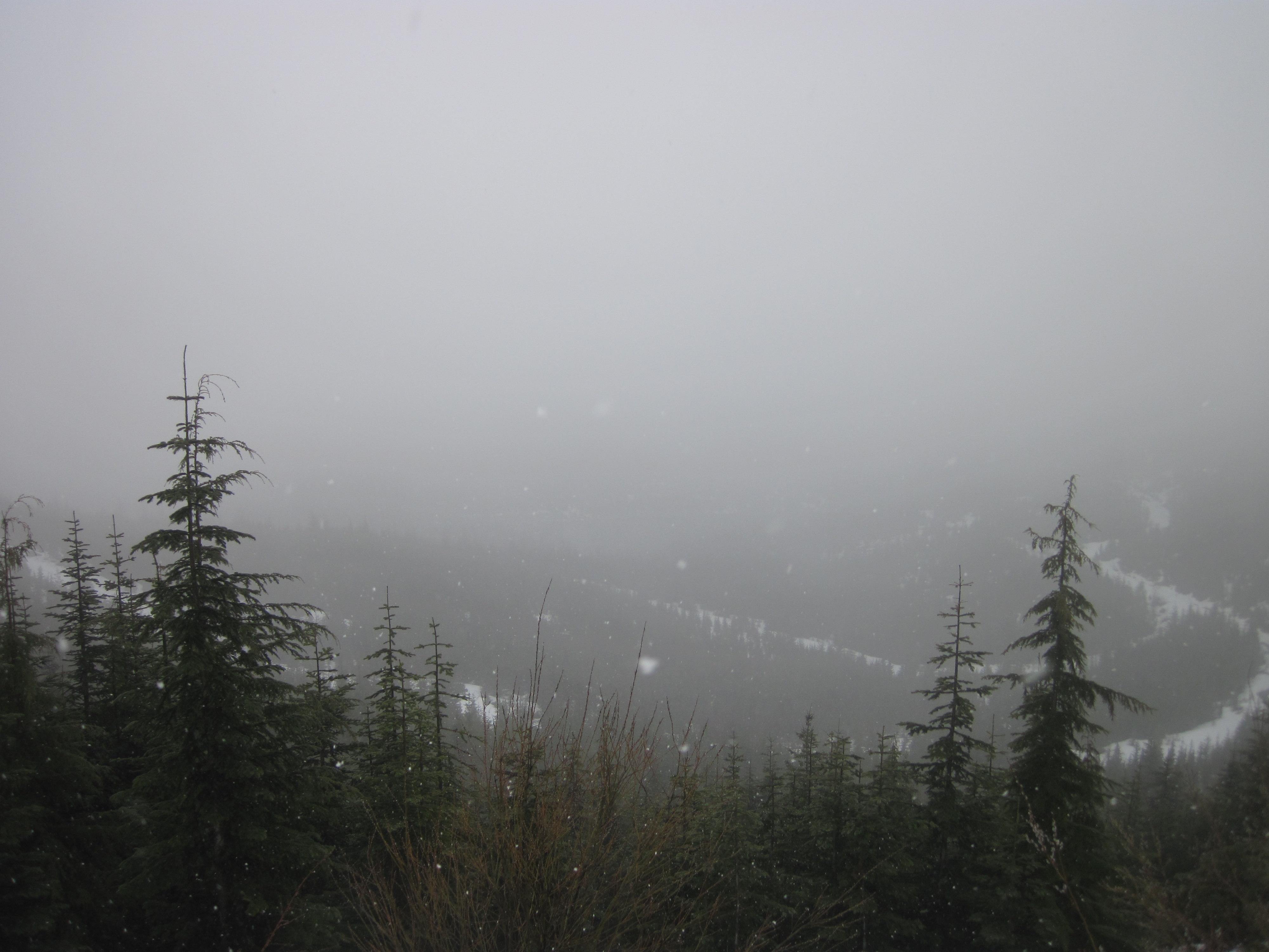
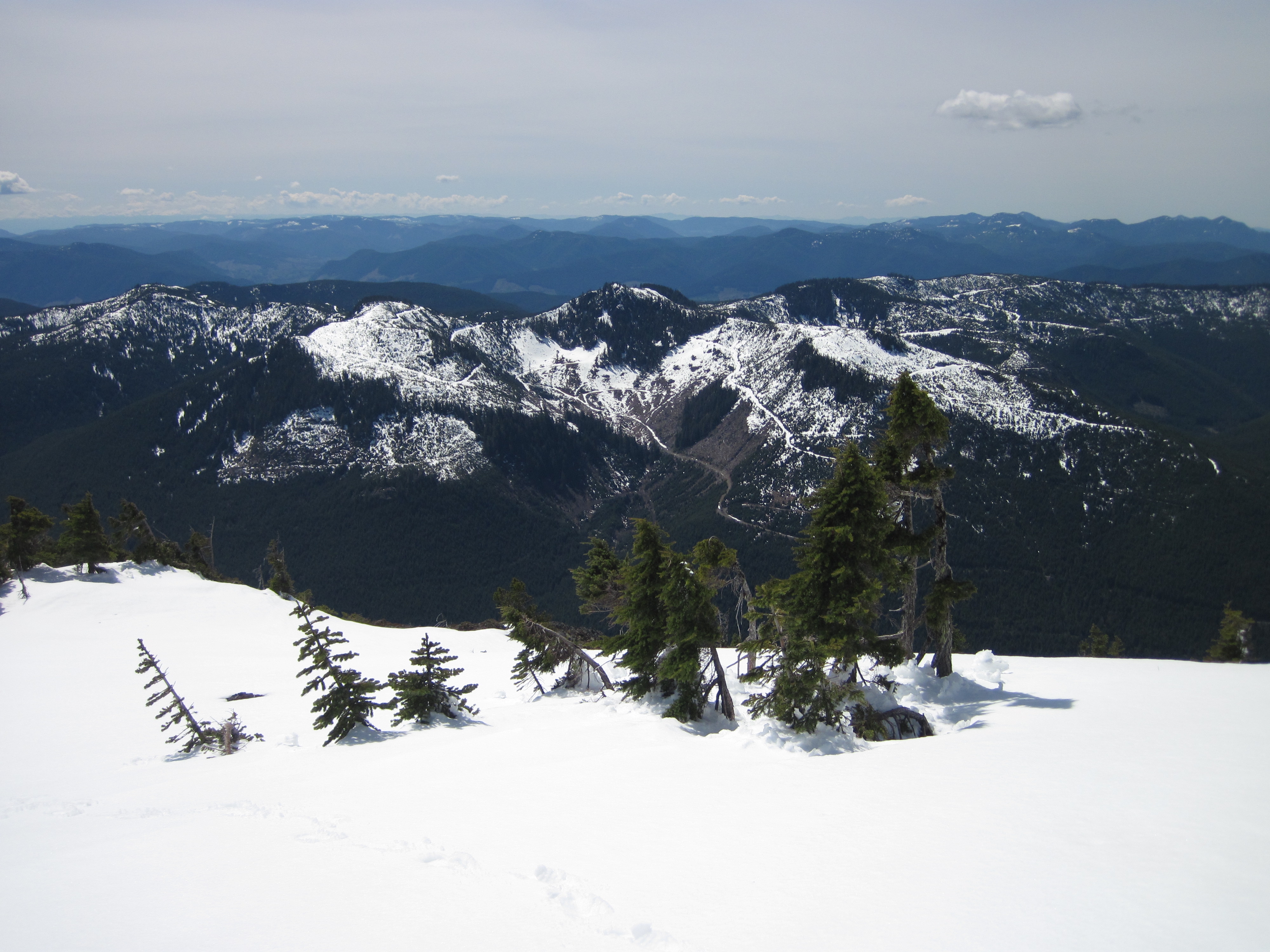
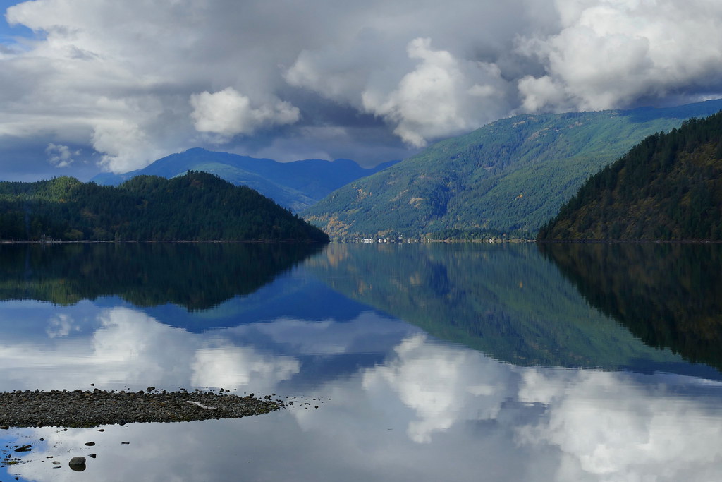
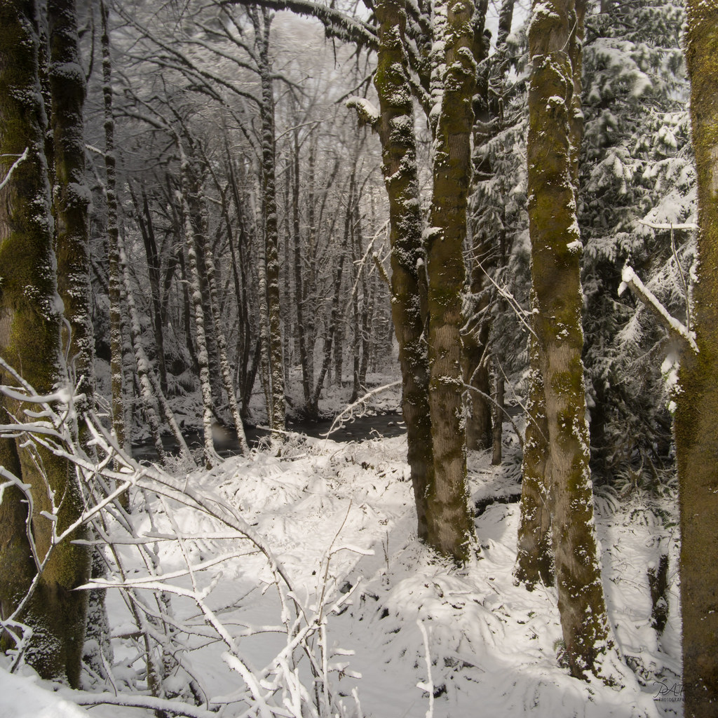
Related Photos:

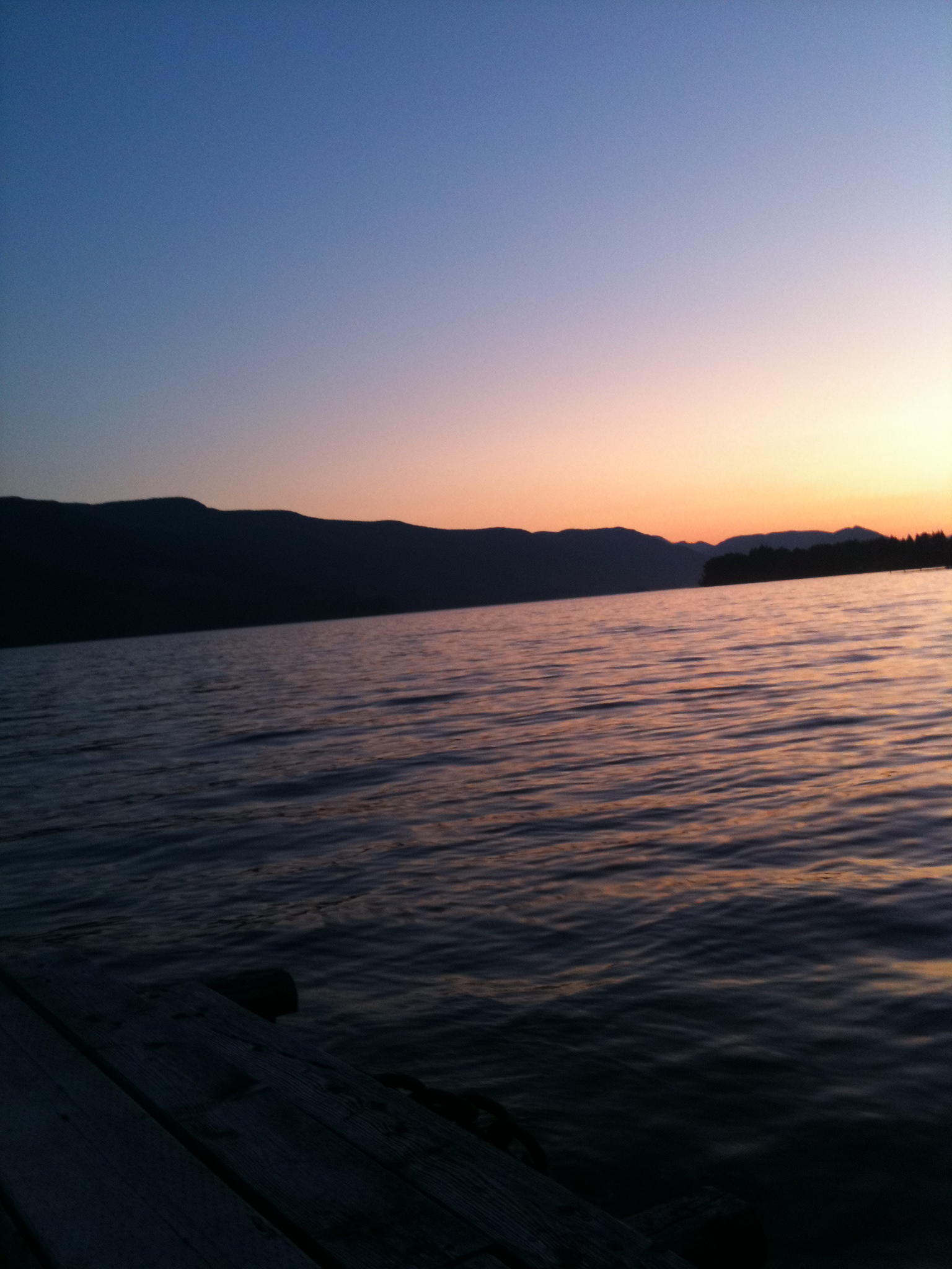
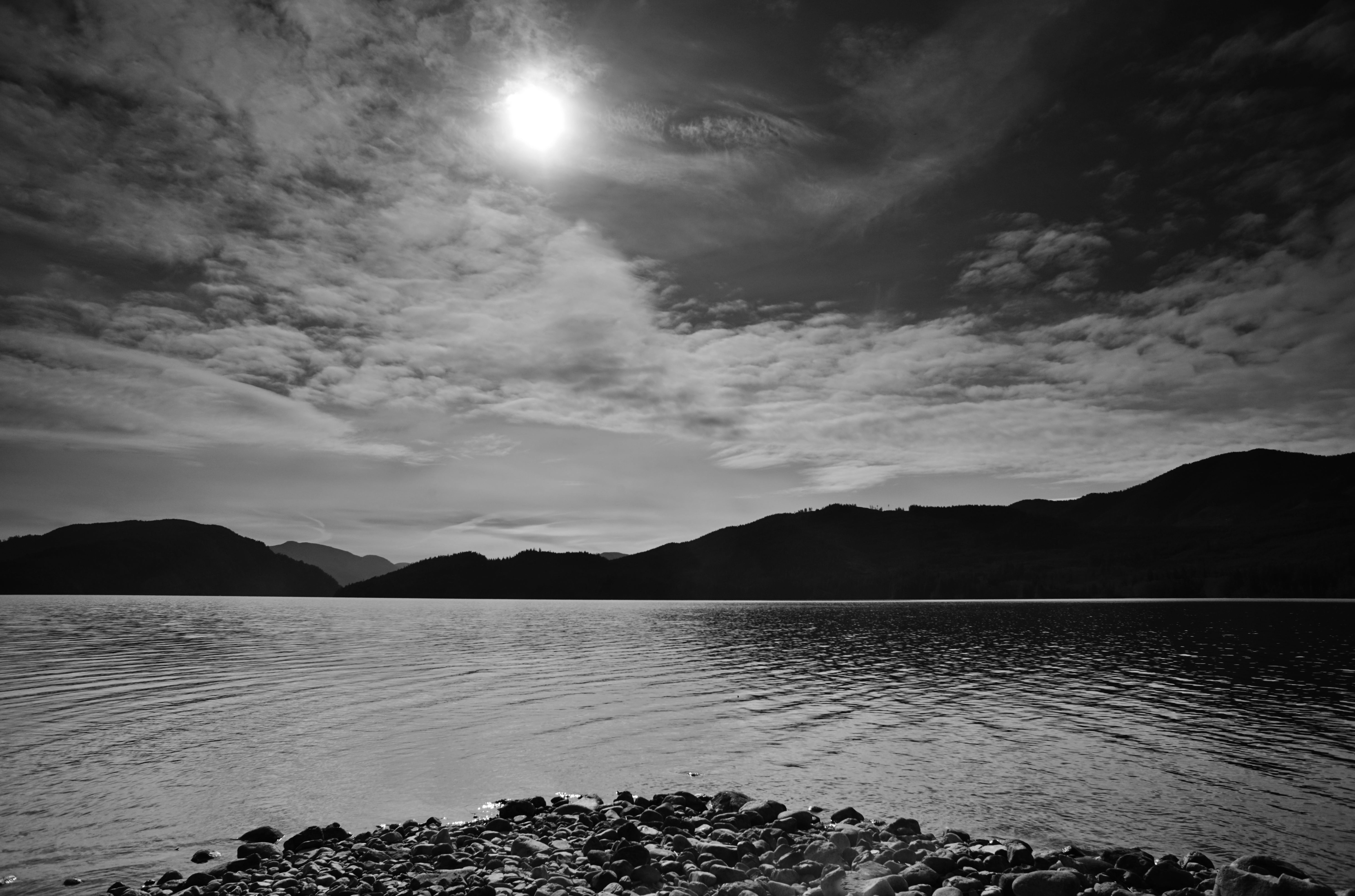
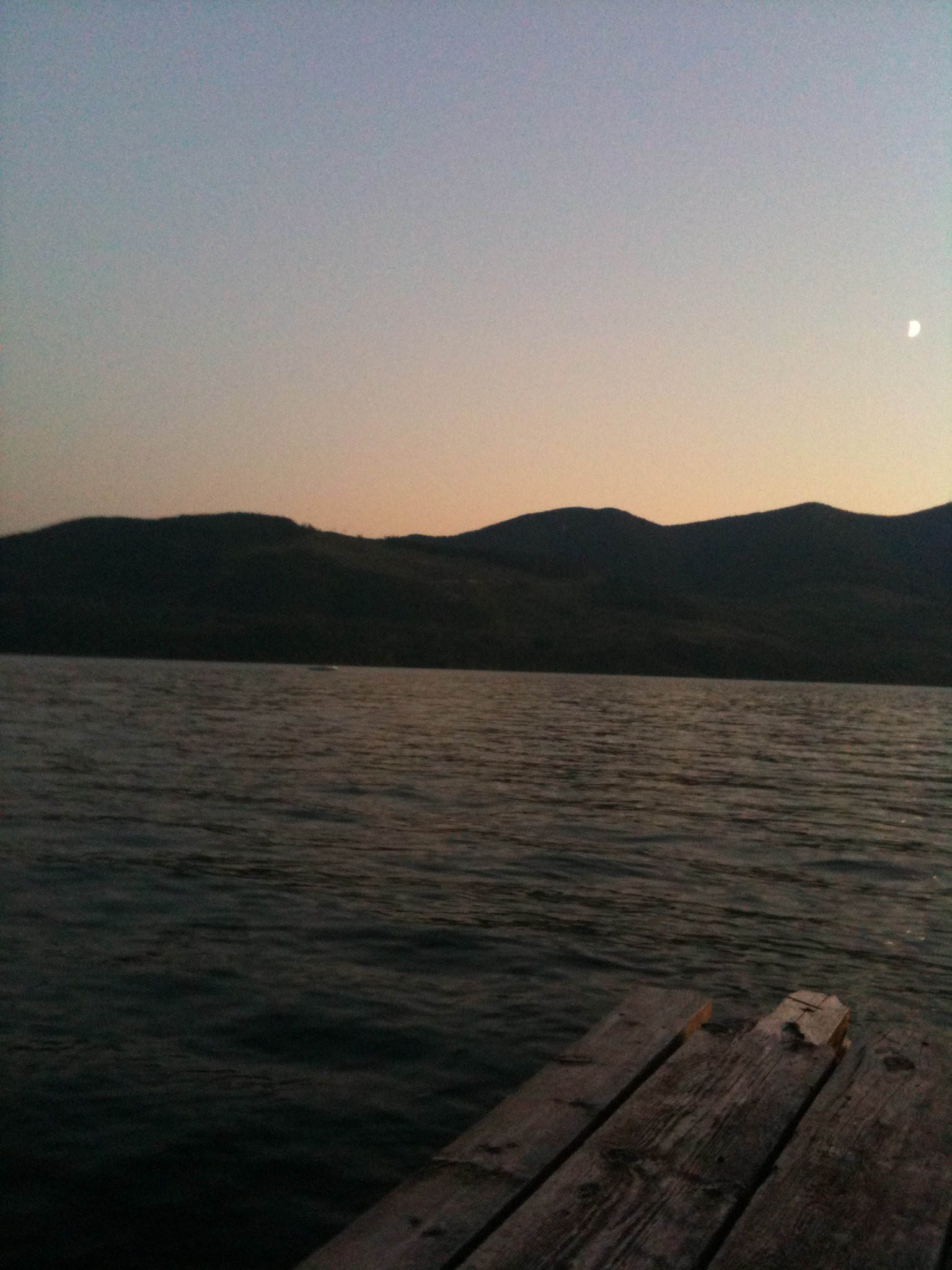
Cowichan Dusk (147 of 365)
Sherk Lake?
Southern View

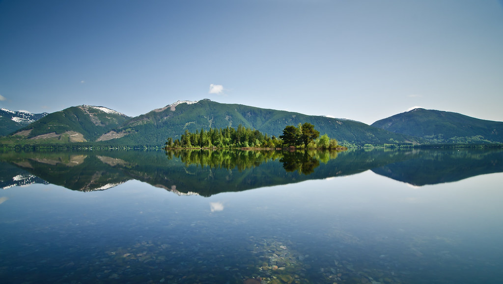
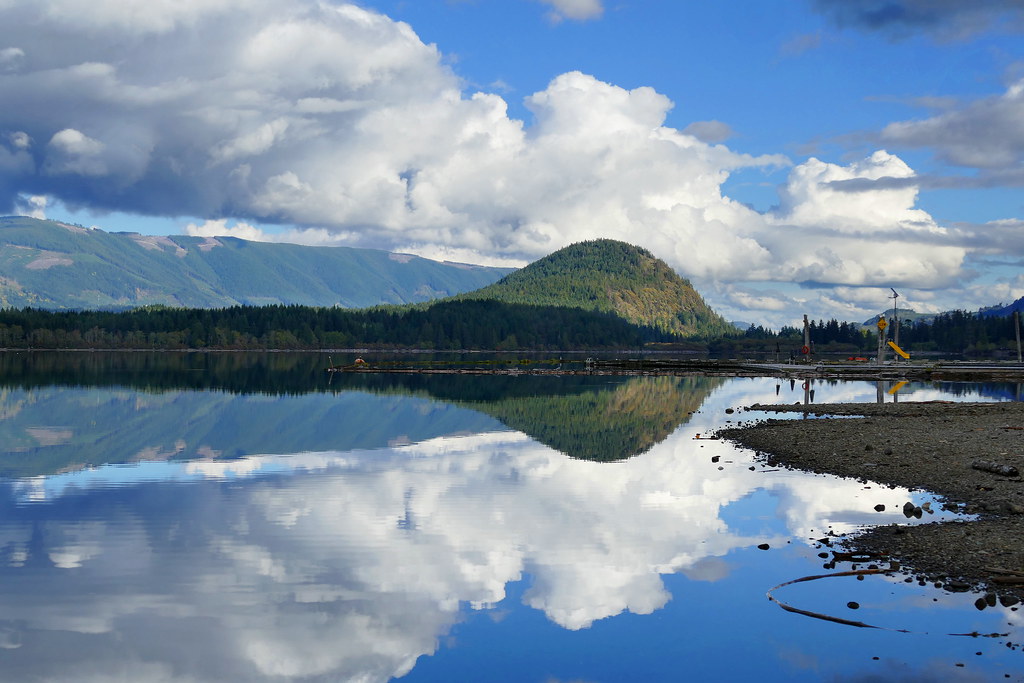
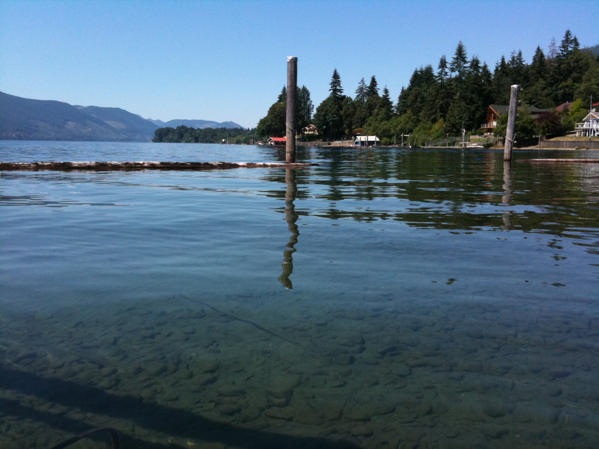
Cowichan Lake
Cowichan Lake
Exploring Youbou

IMG_1345.JPG
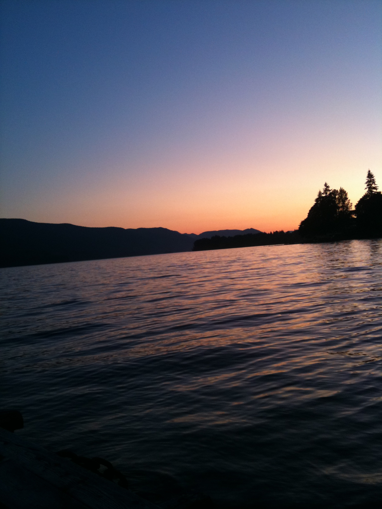
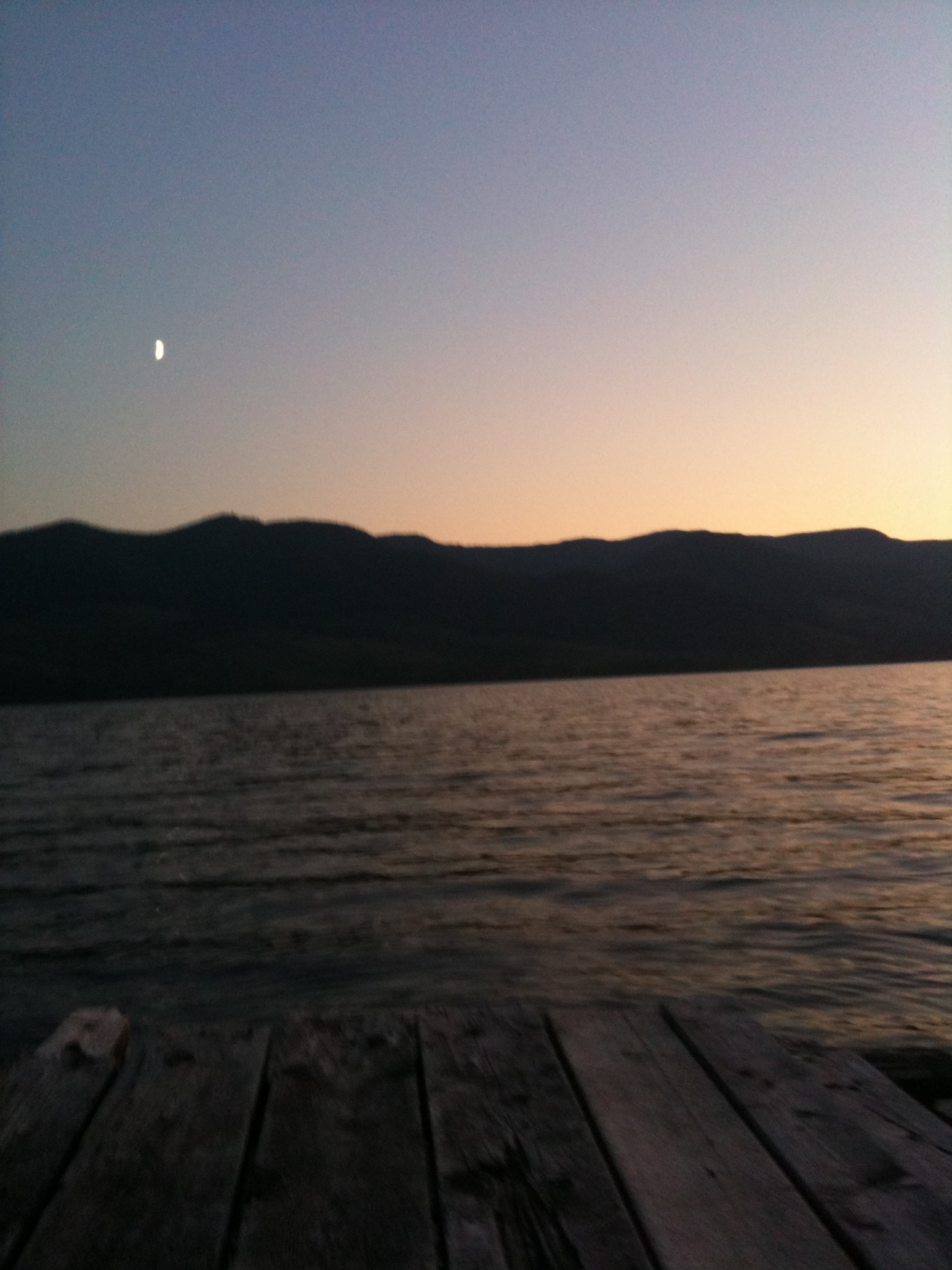
Morning (148 of 365)
IMG_1260.JPG

IMG_1262.JPG
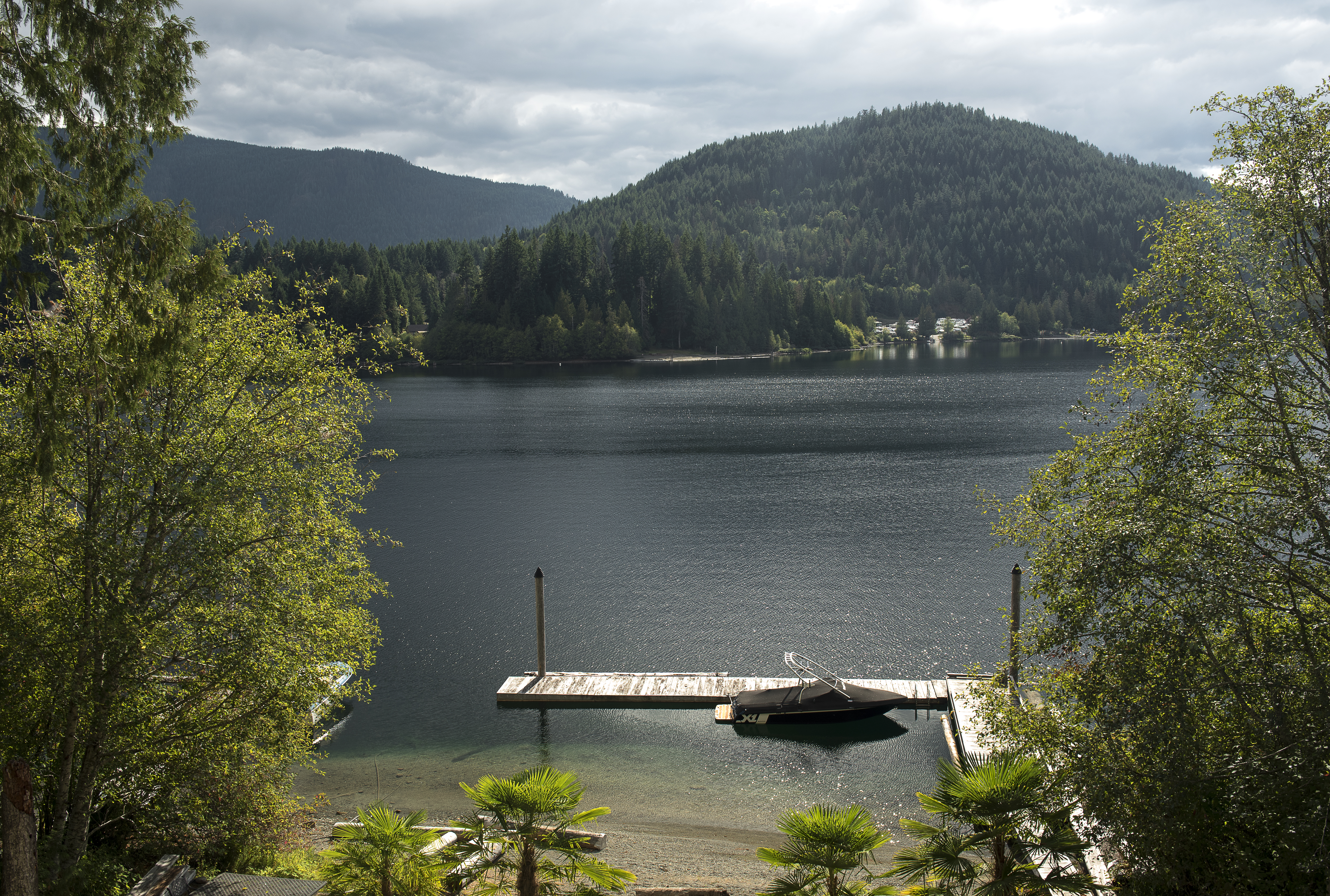
Lake Cowichan 5
IMG_1261.JPG
Honeymoon Bay

IMG_1259.JPG
Cottonwood Creek
Youbou, Vancouver Island
IMG_1258.JPG
IMG_1256.JPG
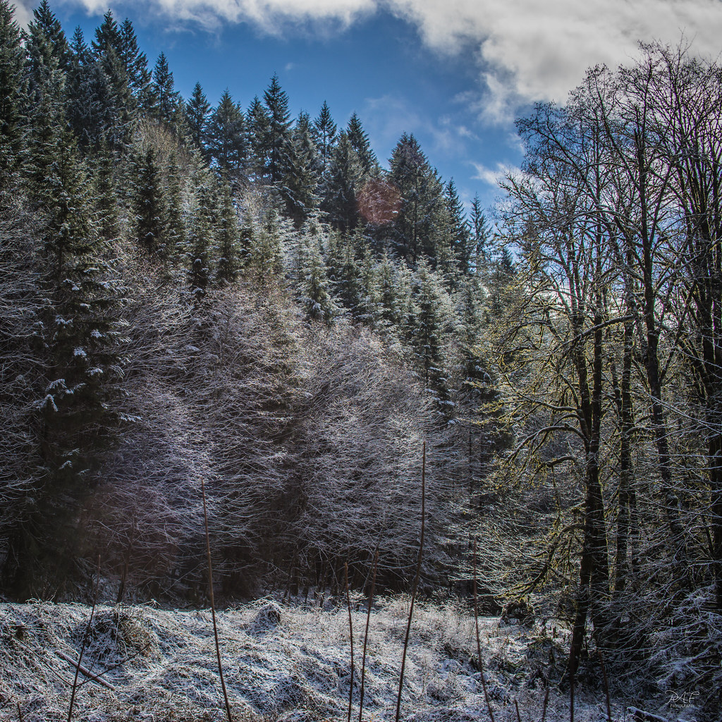
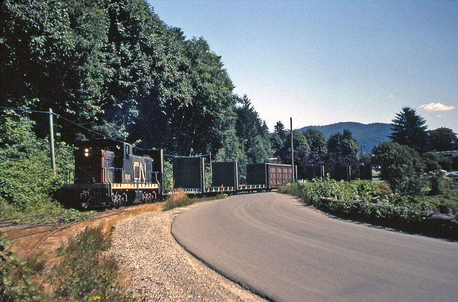
Trek to Youbou

Like Clockworks...
IMG_1244.JPG
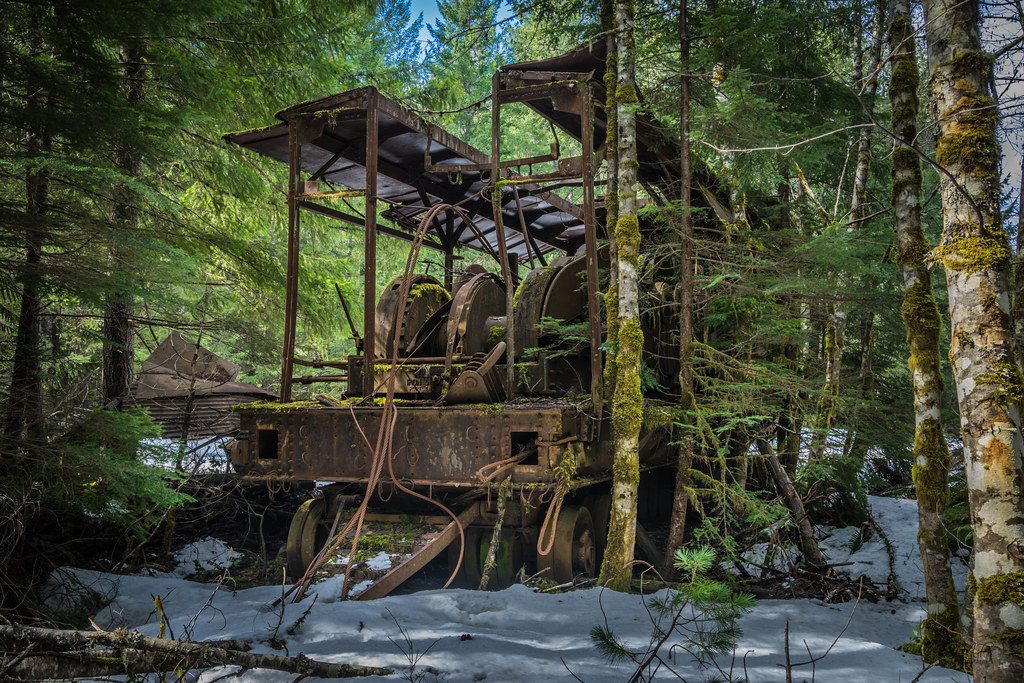
Abandoned Logging
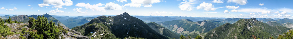
El Capitan Panorama, take 2

Arriving at Imadene

Cottonwood Creek
Topographic Map of Youbou, BC V0R, Canada
Find elevation by address:

Places in Youbou, BC V0R, Canada:
Places near Youbou, BC V0R, Canada:
10571 Youbou Rd
Gordon Bay Provincial Park
Honeymoon Bay
6764 6 St
6764 Park Dr
Cowichan Valley I
Park Road
266 S Shore Rd
Lake Cowichan
60 Sahtlam Ave
77 Somenos St
262 Kingfisher Pl
Gilgan Street
Nixon Creek Recreational Site
Cowichan Valley
7440 Cowichan Lake Rd
Cowichan Valley F
Nanaimo C
San Juan Valley
Cowichan Valley G
Recent Searches:
- Elevation of Slanický ostrov, 01 Námestovo, Slovakia
- Elevation of Spaceport America, Co Rd A, Truth or Consequences, NM, USA
- Elevation of Warwick, RI, USA
- Elevation of Fern Rd, Whitmore, CA, USA
- Elevation of 62 Abbey St, Marshfield, MA, USA
- Elevation of Fernwood, Bradenton, FL, USA
- Elevation of Felindre, Swansea SA5 7LU, UK
- Elevation of Leyte Industrial Development Estate, Isabel, Leyte, Philippines
- Elevation of W Granada St, Tampa, FL, USA
- Elevation of Pykes Down, Ivybridge PL21 0BY, UK