Elevation of Yoshiwa, Hatsukaichi-shi, Hiroshima-ken -, Japan
Location: Japan > Hiroshima Prefecture > Hatsukaichi >
Longitude: 132.132877
Latitude: 34.480095
Elevation: 604m / 1982feet
Barometric Pressure: 94KPa
Elevation Map:
Satellite Map:
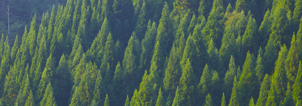
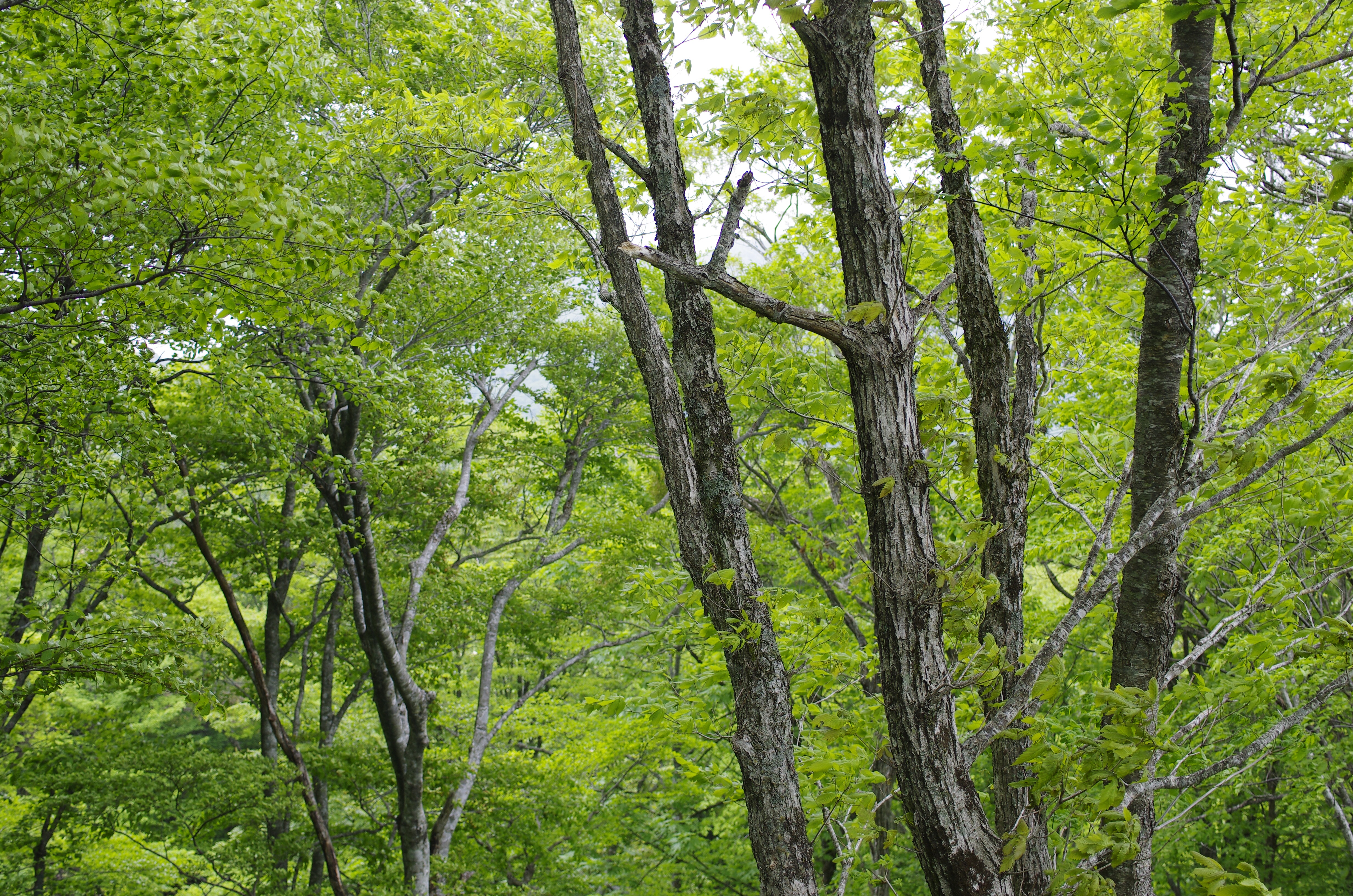
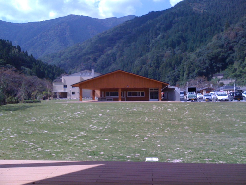
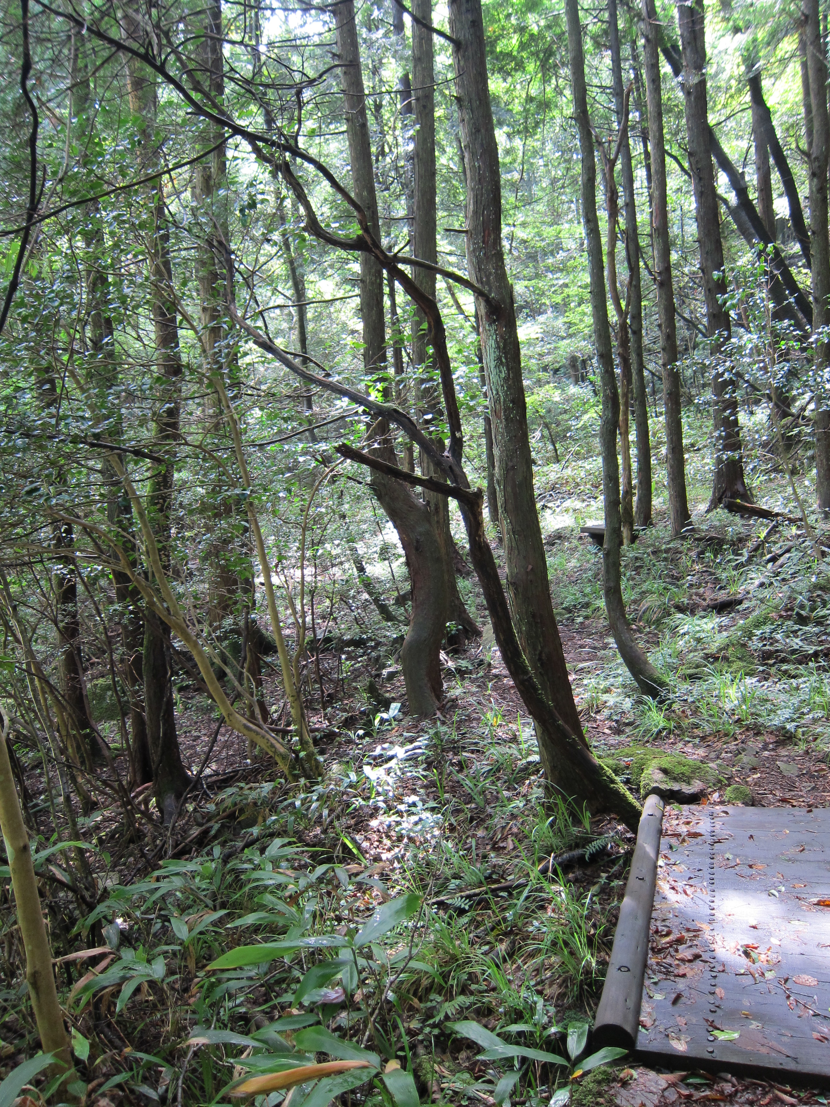
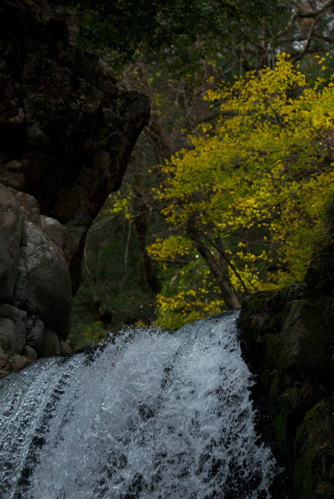
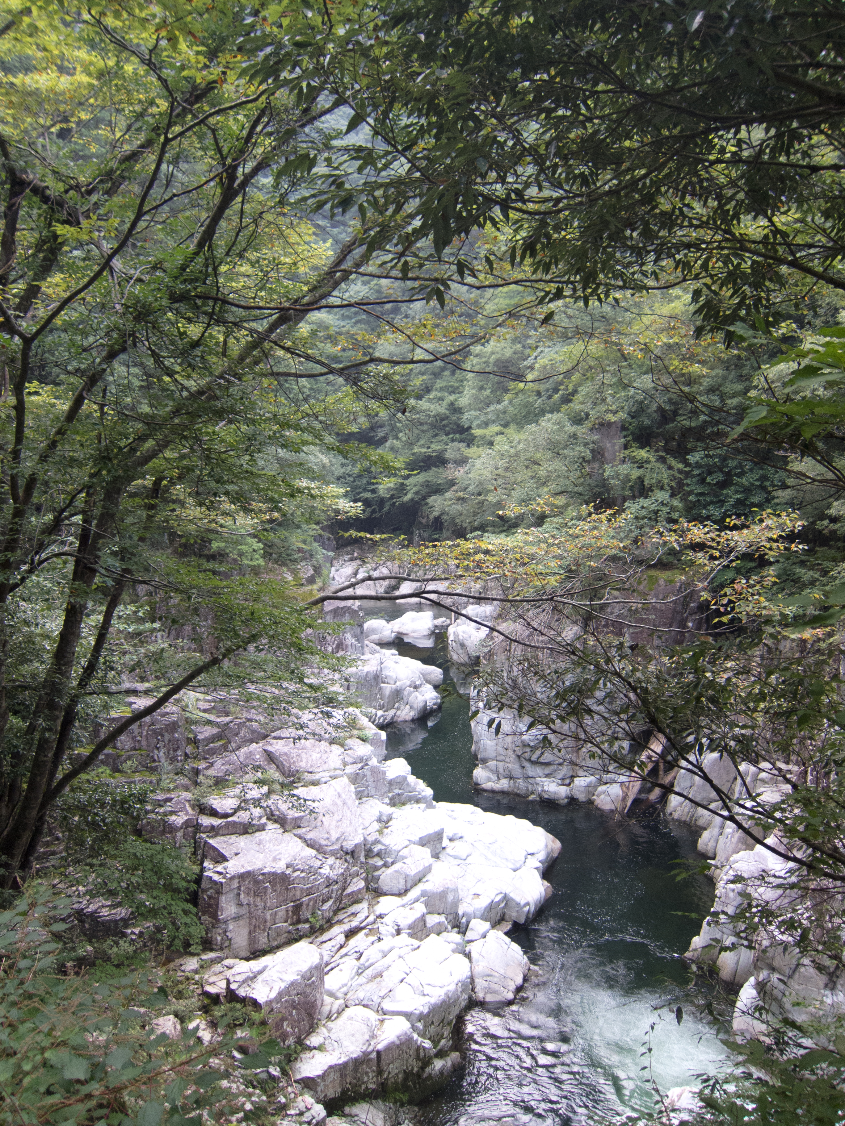
Related Photos:
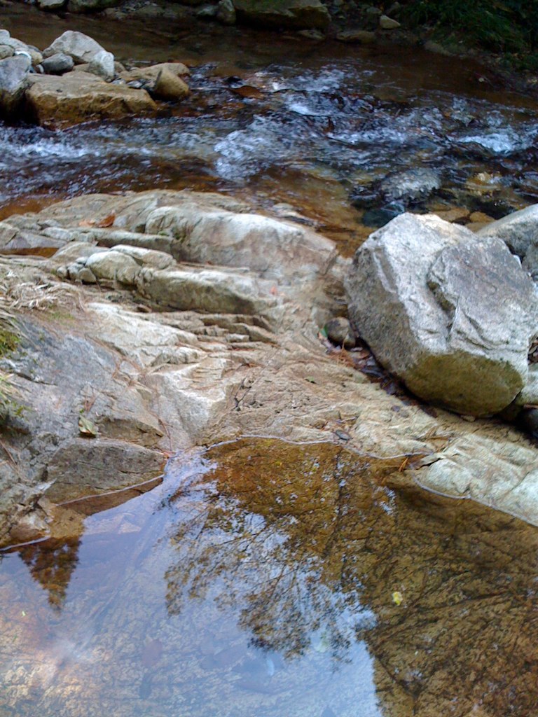
湯来町視察20091017 - 050
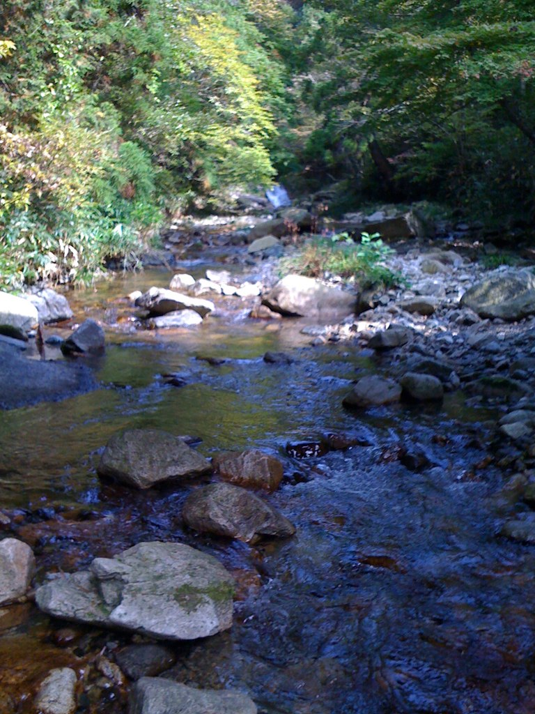
湯来町視察20091017 - 046
Megahira 006
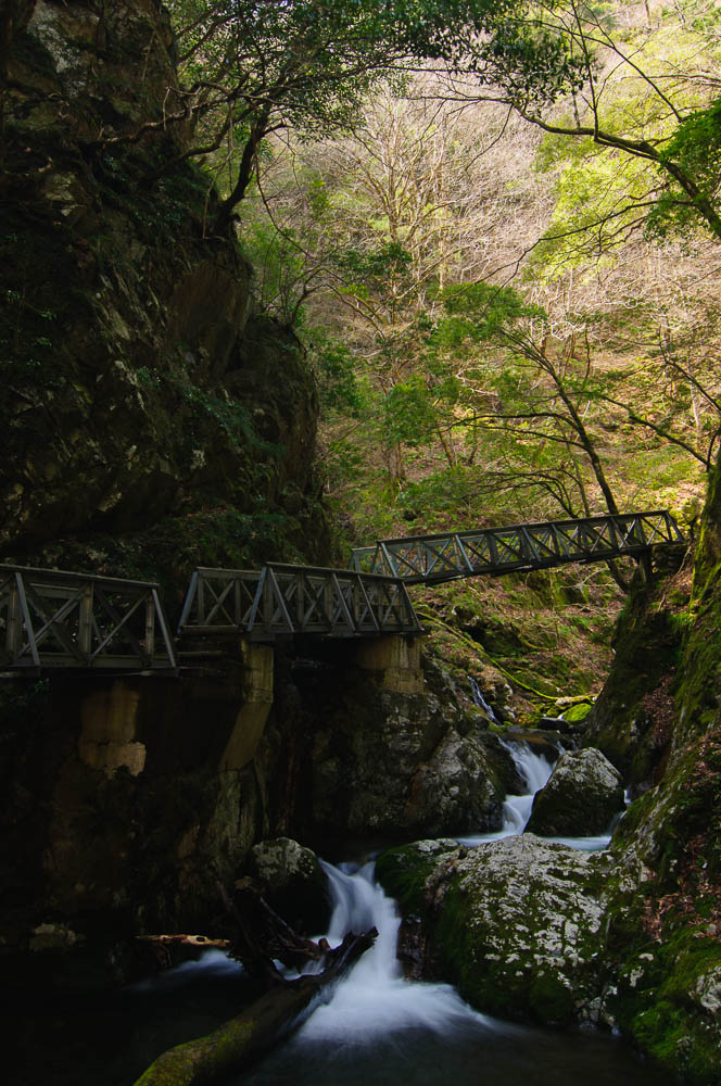
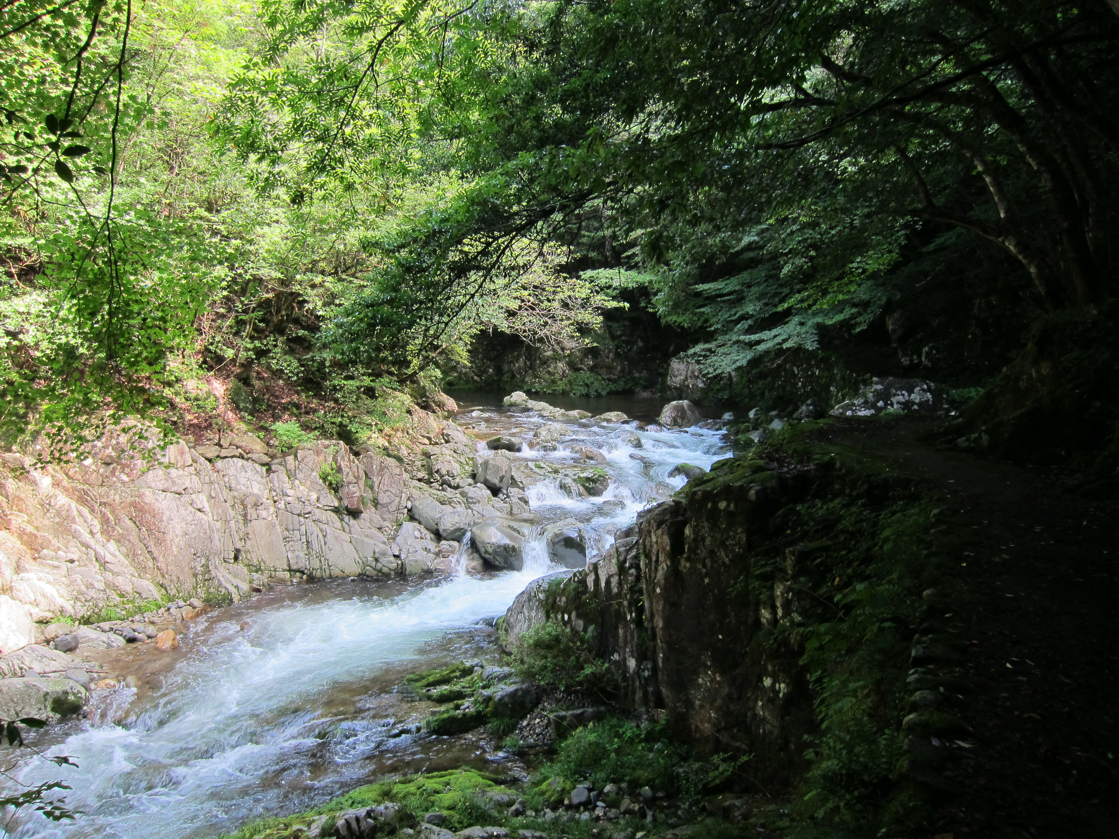
Three small bridges 三連滝
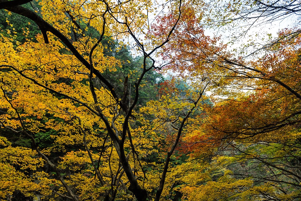
yellow leaves
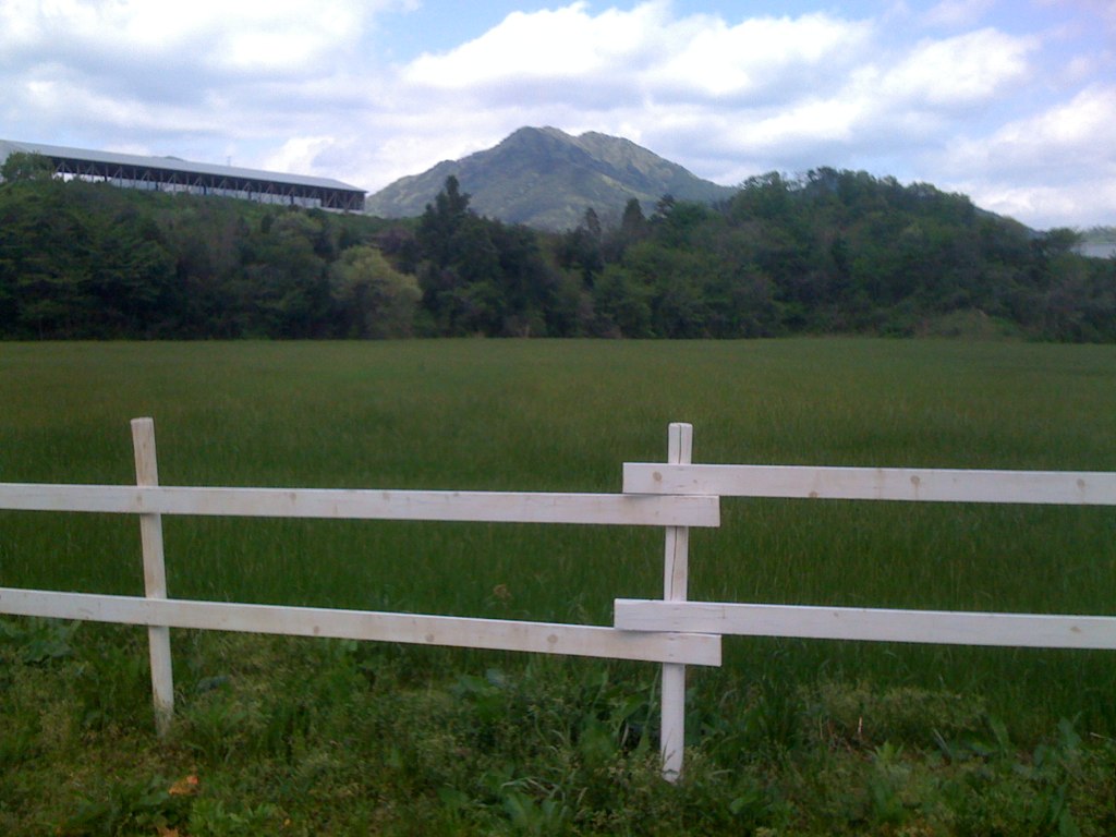
砂谷牧場
IMG_4787-2.jpg
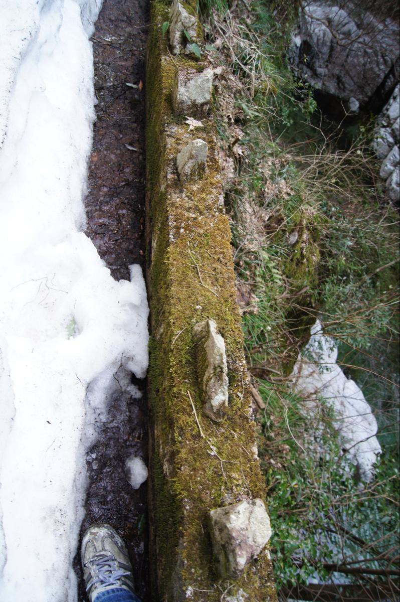
三段峡 残雪と崖の隙間を歩く
IMG_4744-2.jpg
d111016283 - バージョン 2

IMG_4848.jpg
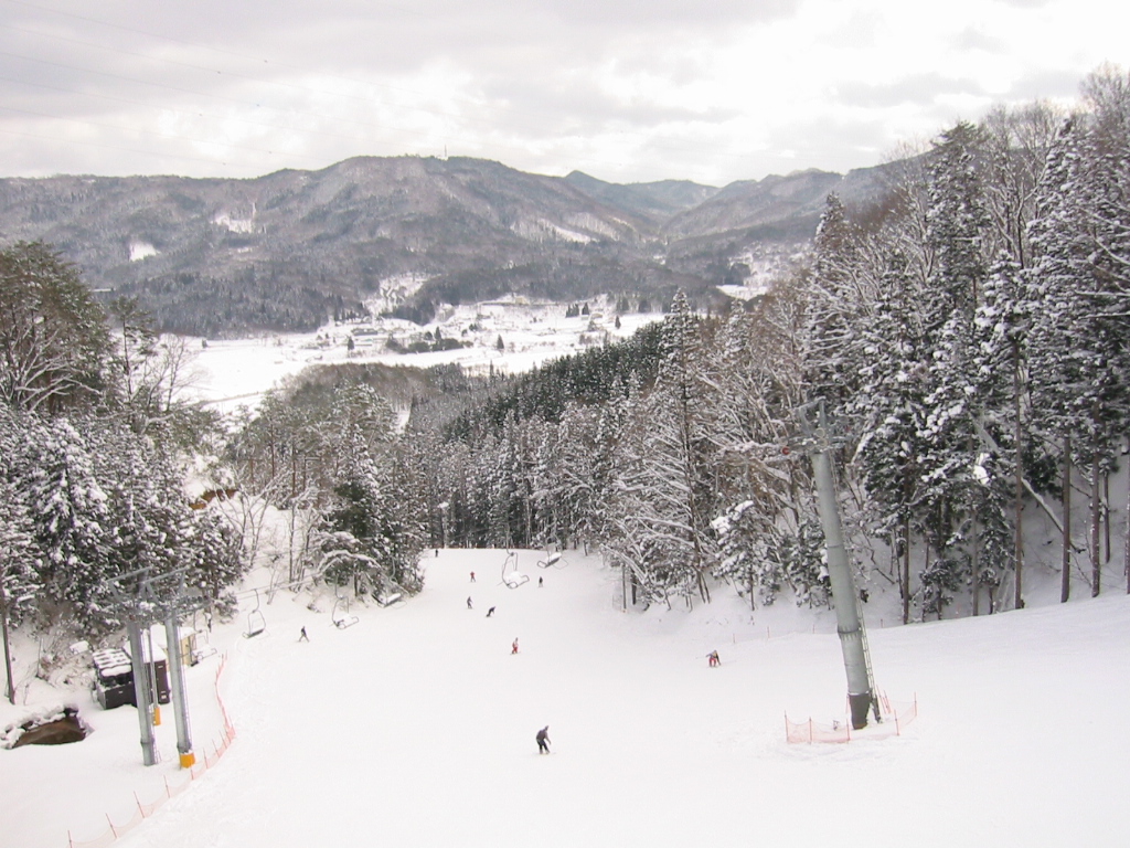
恐羅漢
湯来町視察20091016 - 23
IMG_4749.jpg
DSC_0293 - バージョン 2
IMG_4857.jpg
Topographic Map of Yoshiwa, Hatsukaichi-shi, Hiroshima-ken -, Japan
Find elevation by address:

Places near Yoshiwa, Hatsukaichi-shi, Hiroshima-ken -, Japan:
Mushitokoroyama, Hatsukaichi-shi, Hiroshima-ken -, Japan
65 Nakamichi, Hatsukaichi-shi, Hiroshima-ken -, Japan
Nishikimachiusa, Iwakuni-shi, Yamaguchi-ken -, Japan
3 Nishikimachiusa, Iwakuni-shi, Yamaguchi-ken -, Japan
-4 Tsuta, Hatsukaichi-shi, Hiroshima-ken -, Japan
Asahara, Hatsukaichi-shi, Hiroshima-ken -, Japan
Nishikimachiusagō, Iwakuni-shi, Yamaguchi-ken -, Japan
Nishikimachiōbara, Iwakuni-shi, Yamaguchi-ken -, Japan
Nishikimachiōbara, Iwakuni-shi, Yamaguchi-ken -, Japan
Nishikimachiusagō, Iwakuni-shi, Yamaguchi-ken -, Japan
Tanohara, Yoshika-chō, Kanoashi-gun, Shimane-ken -, Japan
Tanohara, Yoshika-chō, Kanoashi-gun, Shimane-ken -, Japan
14 Nishikimachisugawa, Iwakuni-shi, Yamaguchi-ken -, Japan
Nishikimachisugawa, Iwakuni-shi, Yamaguchi-ken -, Japan
Higuchi, Yoshika-chō, Kanoashi-gun, Shimane-ken -, Japan
Kamitakajiri, Yoshika-chō, Kanoashi-gun, Shimane-ken -, Japan
Nishikimachisugawa, Iwakuni-shi, Yamaguchi-ken -, Japan
Kuragi, Yoshika-chō, Kanoashi-gun, Shimane-ken -, Japan
Nishikimachisugawa, Iwakuni-shi, Yamaguchi-ken -, Japan
Kamitakajiri, Yoshika-chō, Kanoashi-gun, Shimane-ken -, Japan
Recent Searches:
- Elevation of Elwyn Dr, Roanoke Rapids, NC, USA
- Elevation of Congressional Dr, Stevensville, MD, USA
- Elevation of Bellview Rd, McLean, VA, USA
- Elevation of Stage Island Rd, Chatham, MA, USA
- Elevation of Shibuya Scramble Crossing, 21 Udagawacho, Shibuya City, Tokyo -, Japan
- Elevation of Jadagoniai, Kaunas District Municipality, Lithuania
- Elevation of Pagonija rock, Kranto 7-oji g. 8"N, Kaunas, Lithuania
- Elevation of Co Rd 87, Jamestown, CO, USA
- Elevation of Tenjo, Cundinamarca, Colombia
- Elevation of Côte-des-Neiges, Montreal, QC H4A 3J6, Canada