Elevation of Yoshioka, Kitagunma District, Gunma Prefecture, Japan
Location: Japan > Gunma Prefecture > Kitagunma District >
Longitude: 139.009766
Latitude: 36.4475005
Elevation: 192m / 630feet
Barometric Pressure: 99KPa
Elevation Map:
Satellite Map:
Related Photos:

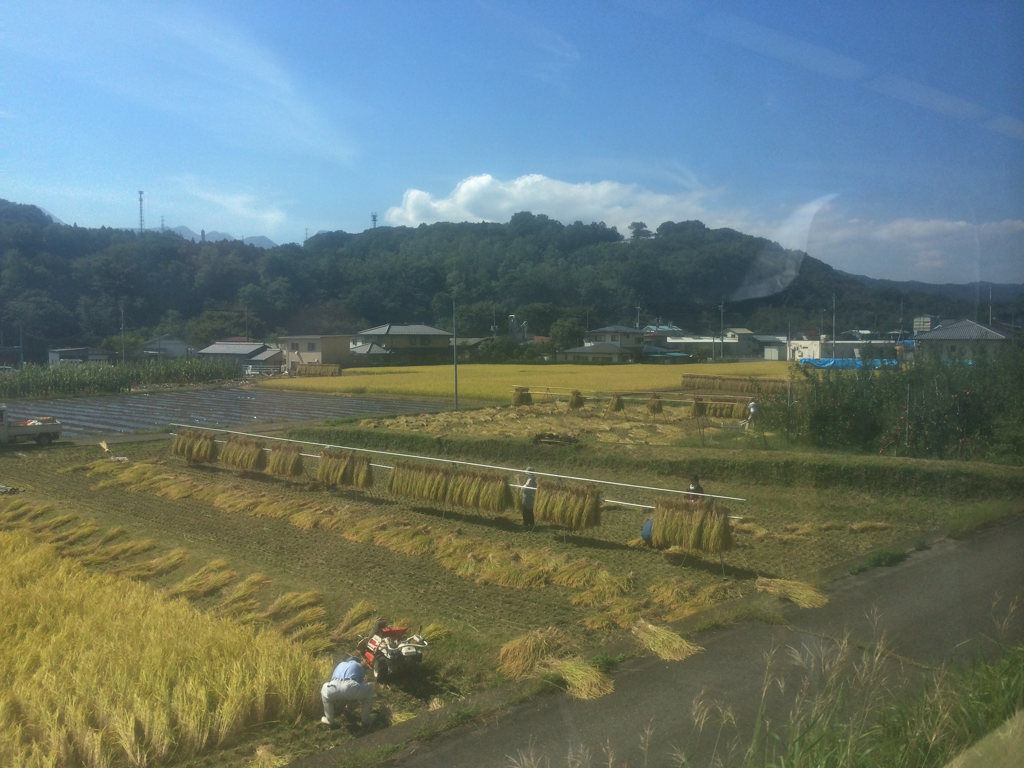
STILL AUTUMN

Takaragawa Onsen Rotenburo 宝川温泉 露天風呂

night view
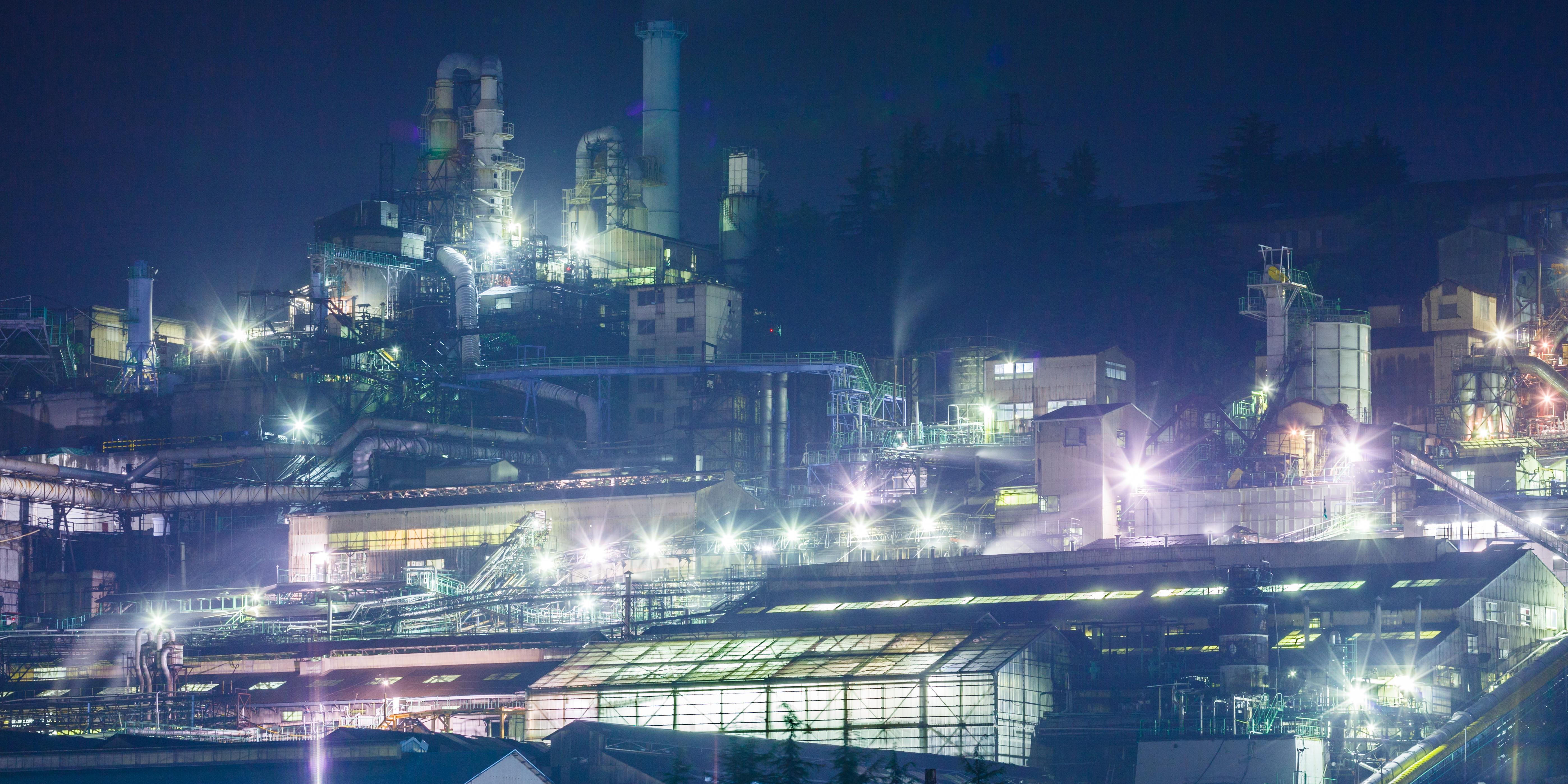
Factory Night View

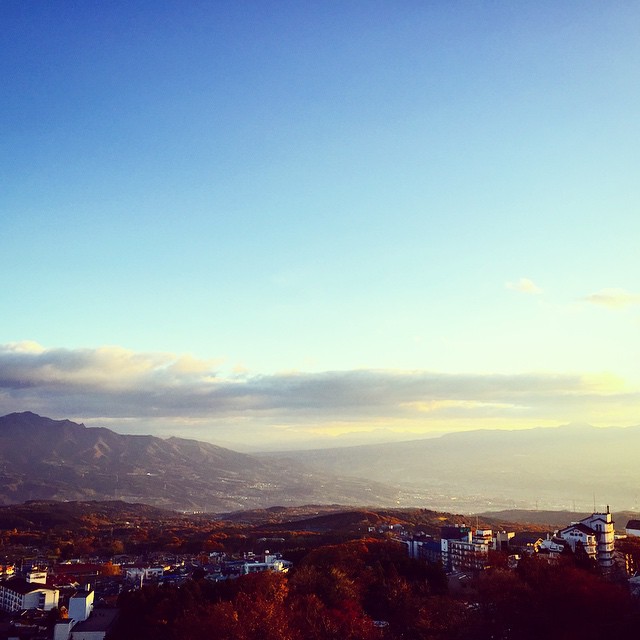
View from Route Inn Takesaki

伊香保グランドホテル
A view from shuttle bus
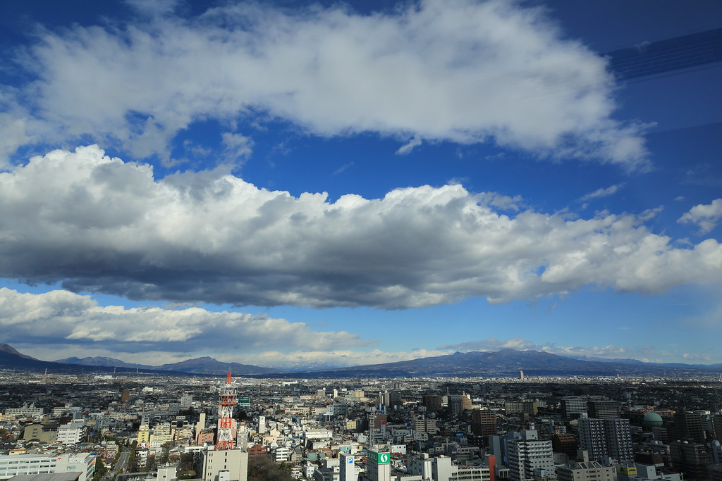
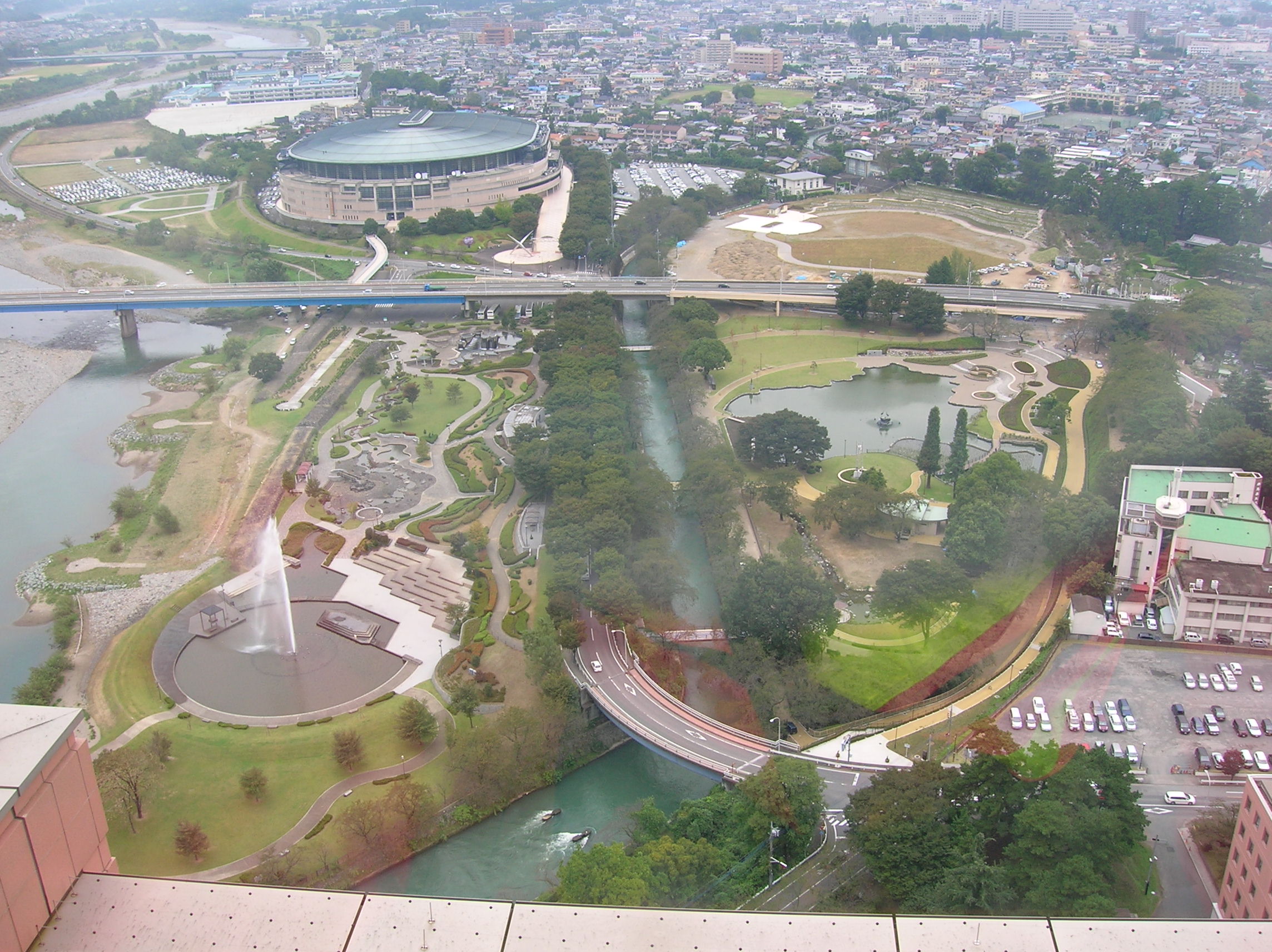
Panorama View from Takasaki City Hall (9K2A8928_DPP)
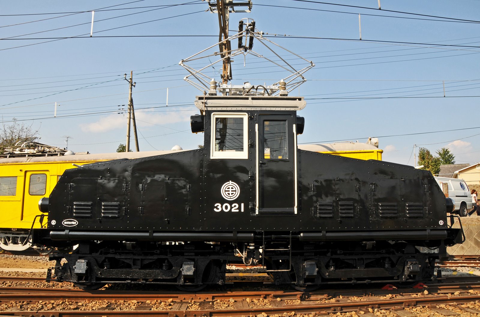
Side view of Deki 3021
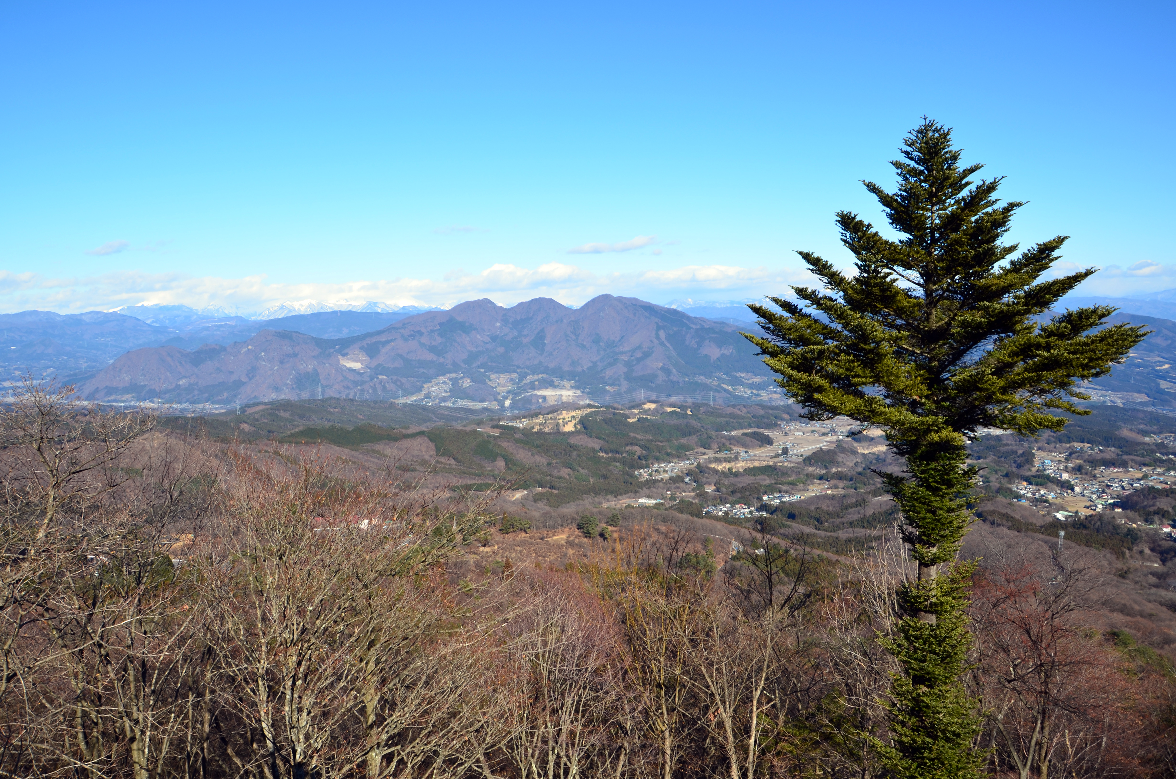
View from the lookout spot at Yaseone Touge

Mt. Haruna summit view
Google Earth misalignment
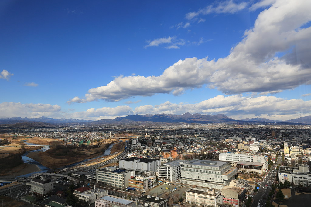
Panorama View from Takasaki City Hall (9K2A8862_DPP)

Panorama View from Takasaki City Hall (9K2A8878_DPP)

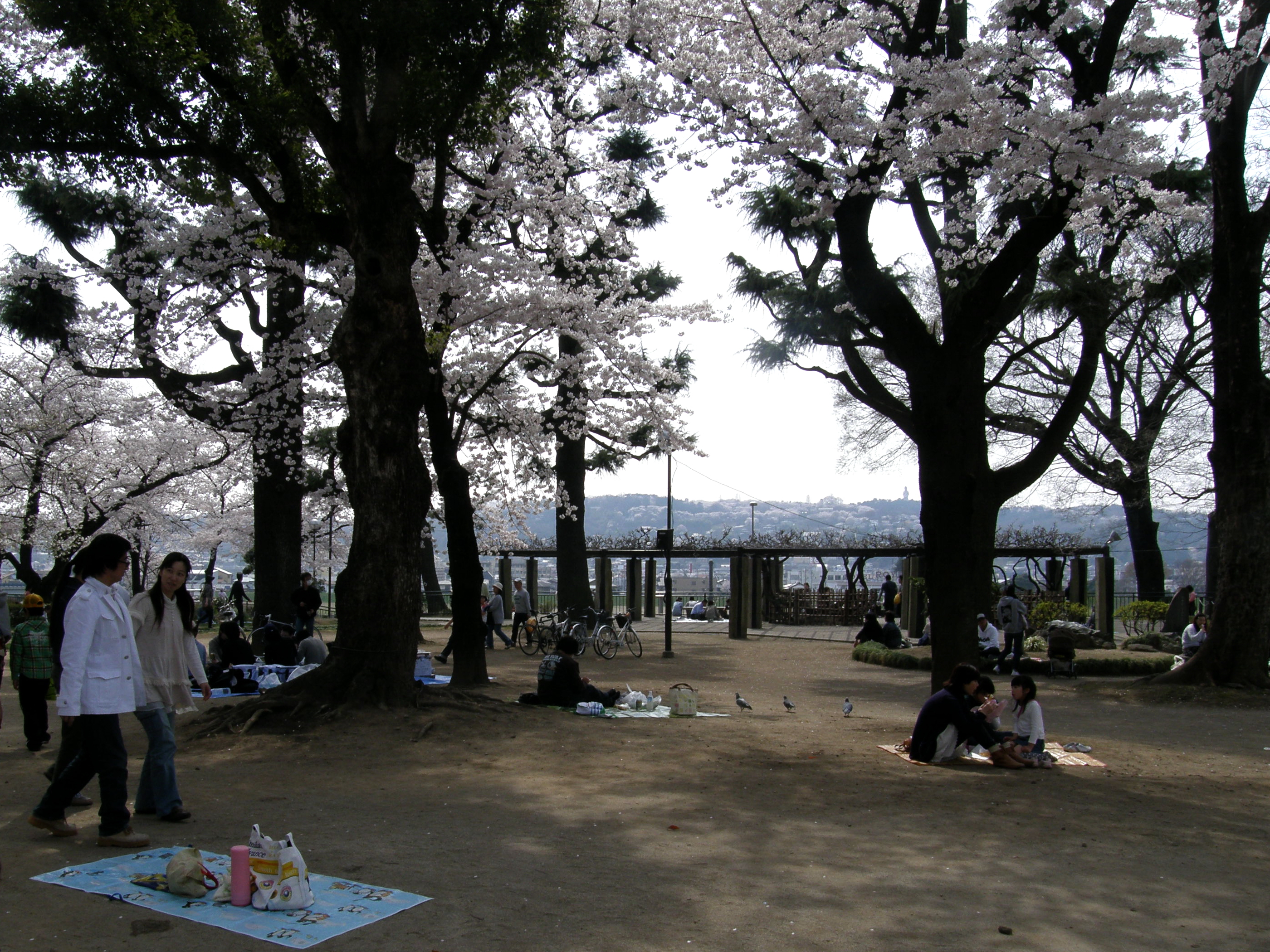
park view (高崎公園) #1594

View from the lookout spot at Yaseone Touge
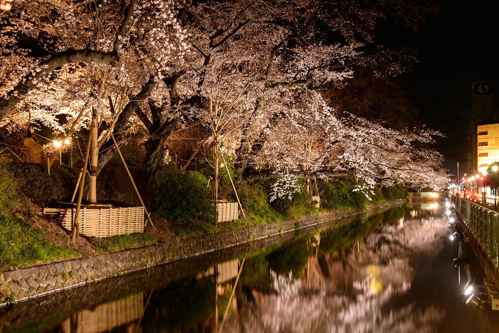
Night View of Sakura at Tasakaki Castle Ruins Park
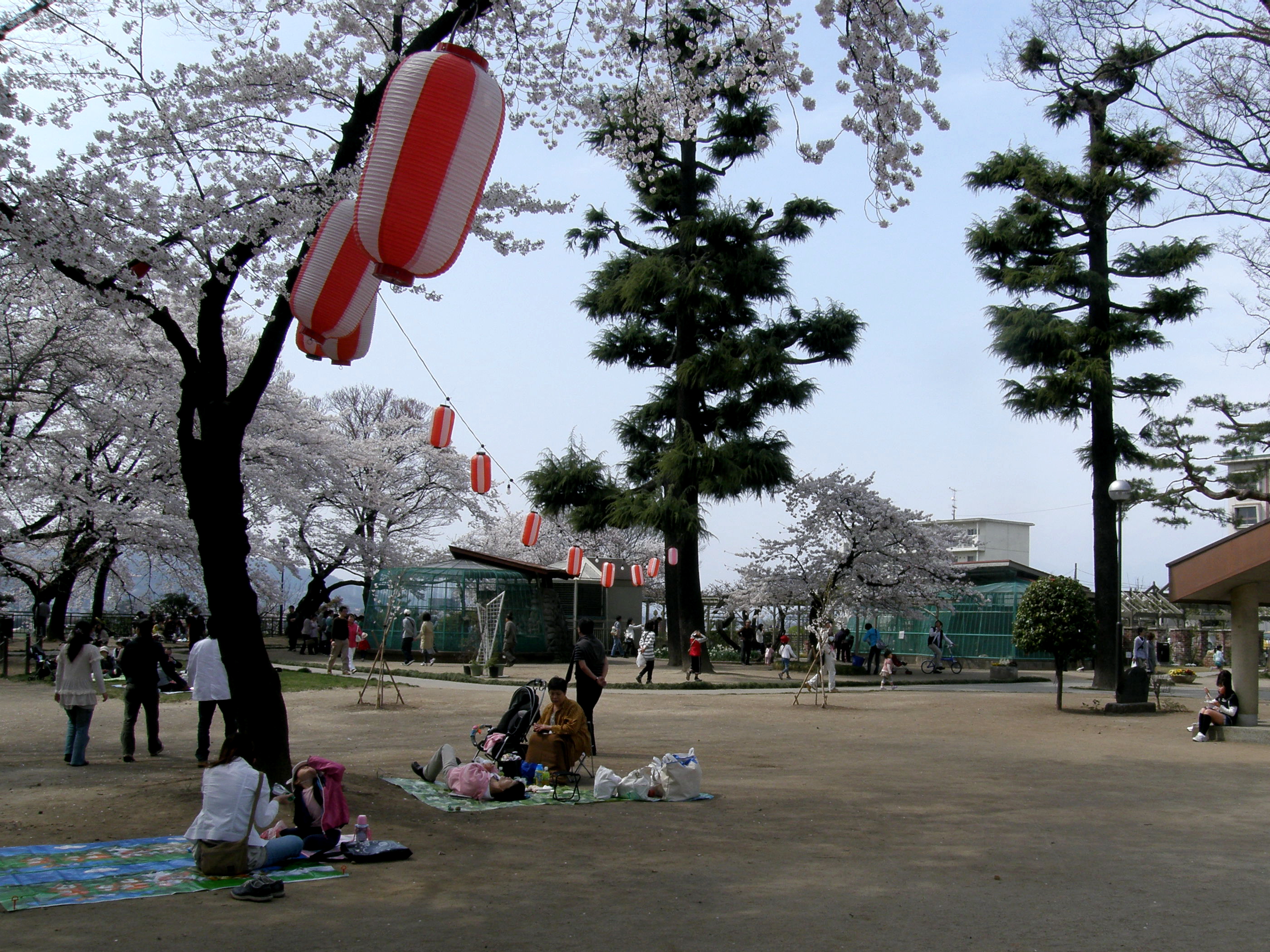
cherry blossom viewing #1570

cherry blossom viewing #1569
View down from the Kenchou
cherry blossom viewing #1568

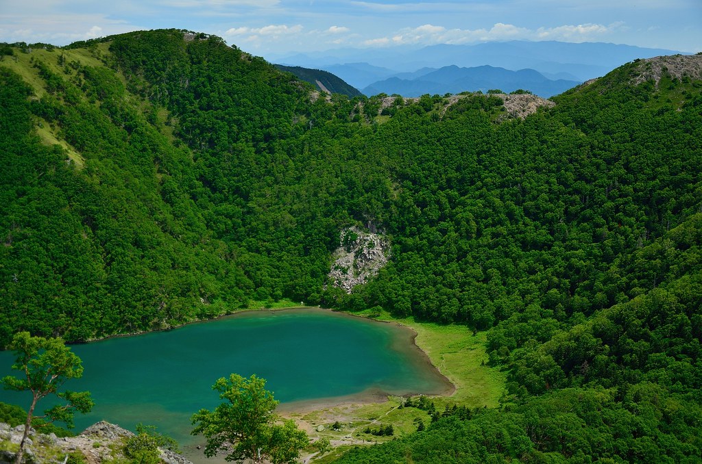
Mt Haruna Japan

紅葉が見ごろです
日本の秋
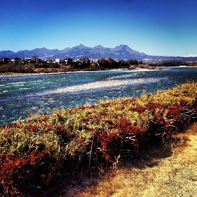
Maebashi & Mt Haruna
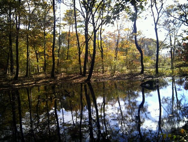
ミズスマシの池
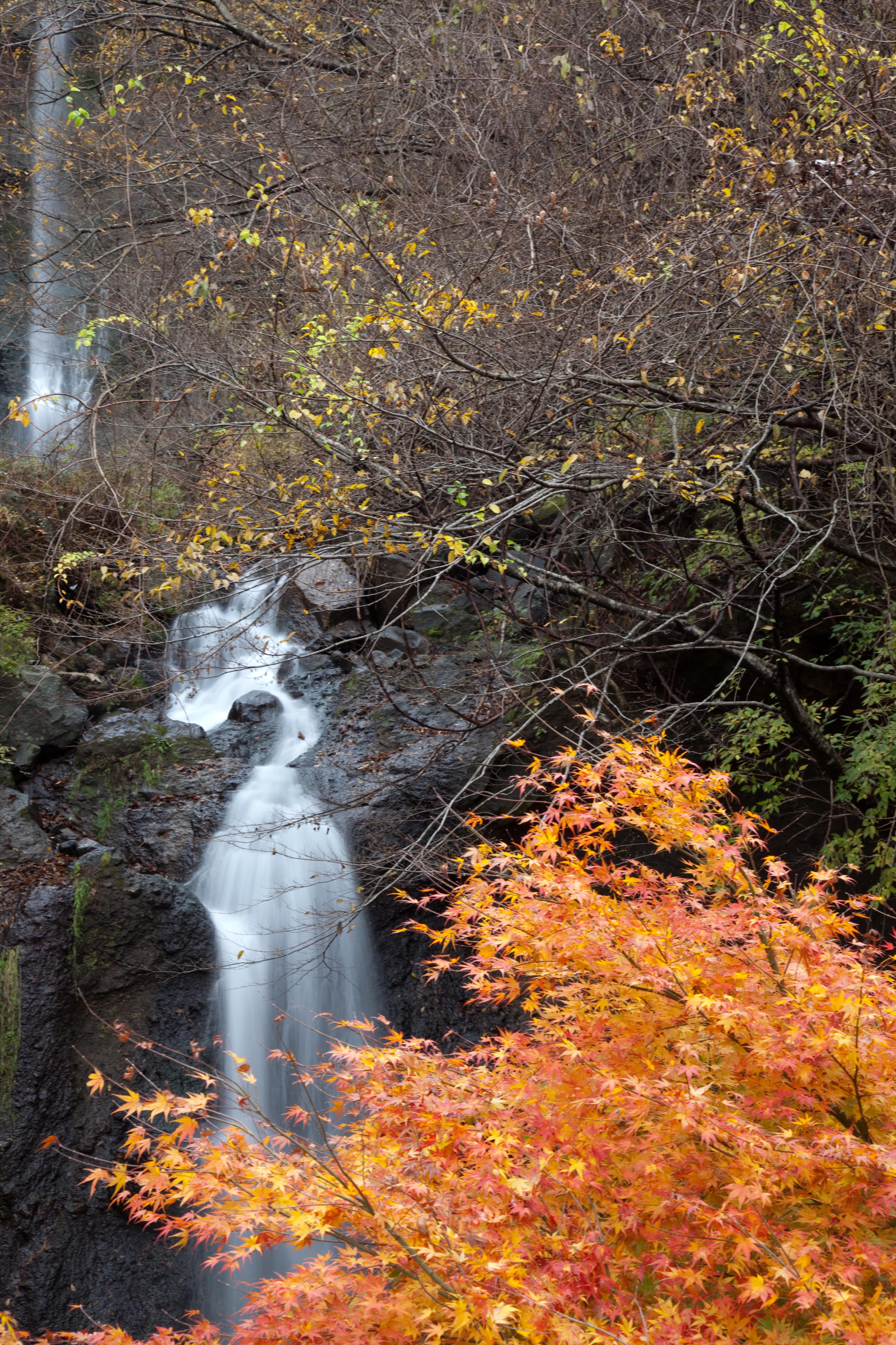
Funaodaki Fall
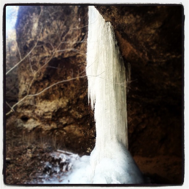
滝も凍る。
Mt Nikko Shirane
#sunrise

Templo Shorinzan-19

朝撮り〜おはようございます。
休日 #gunma #maebashi
Plum trees
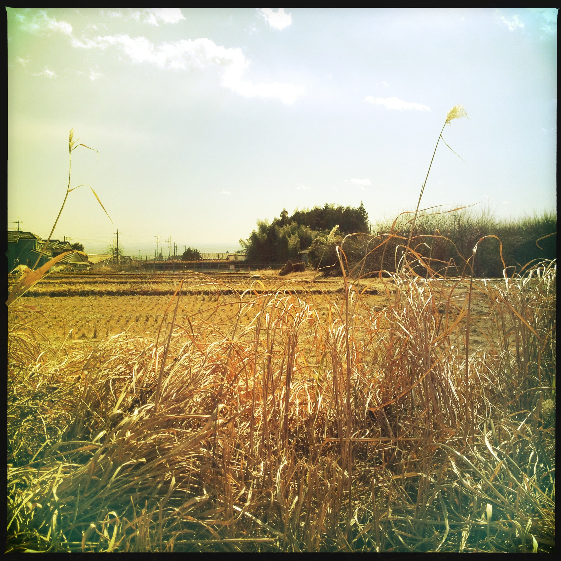
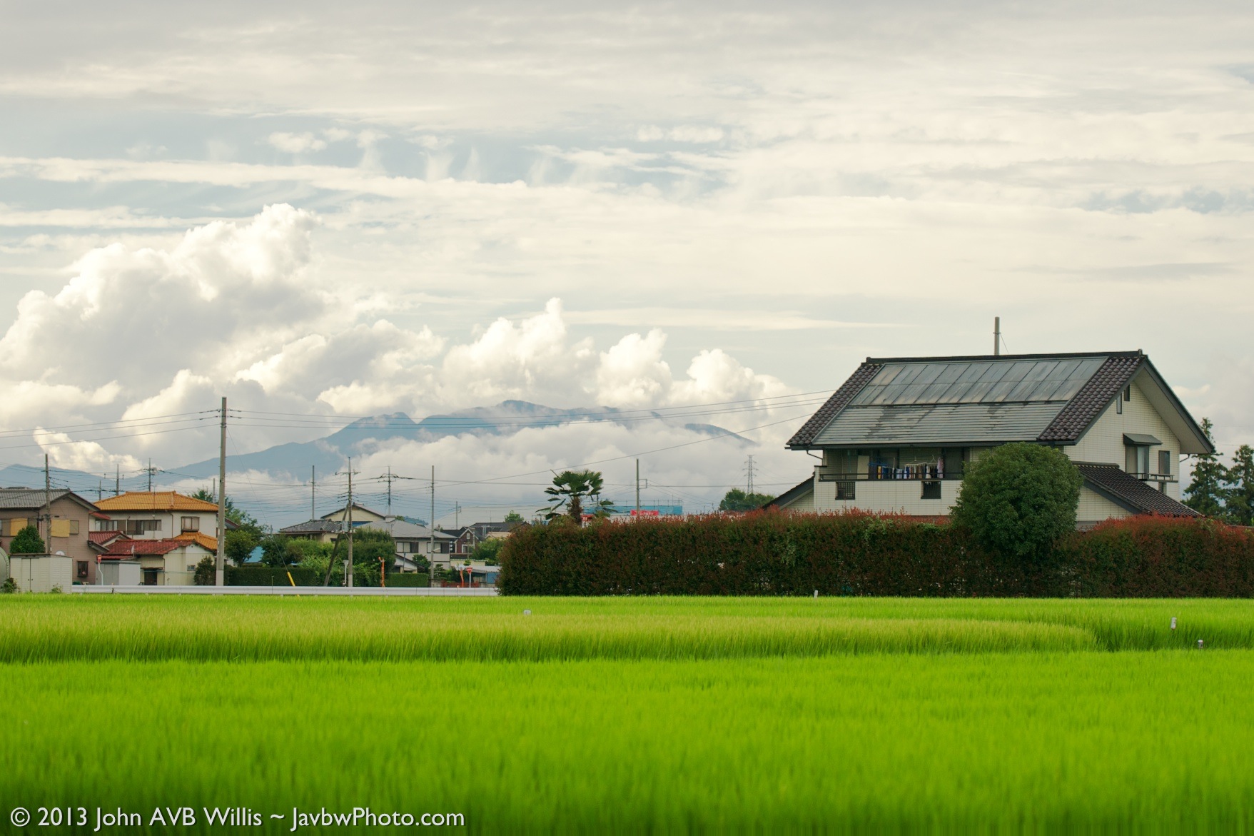
Rice field in January
iPhone5sで撮影
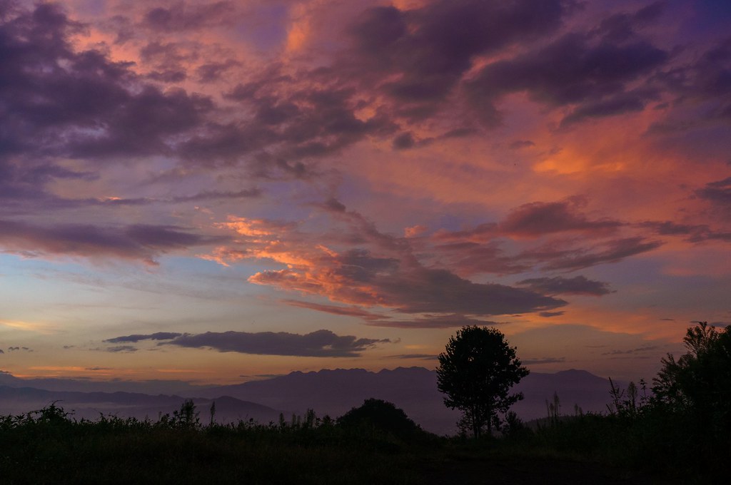
The Evening Sky After Rain

_2174162.JPG
Topographic Map of Yoshioka, Kitagunma District, Gunma Prefecture, Japan
Find elevation by address:

Places in Yoshioka, Kitagunma District, Gunma Prefecture, Japan:
Places near Yoshioka, Kitagunma District, Gunma Prefecture, Japan:
33 Kaminoda, Yoshioka-machi, Kitagunma-gun, Gunma-ken -, Japan
3 Chome-22-8 Sekinemachi, Maebashi-shi, Gunma-ken -, Japan
Kitagunma District
Shibukawa
Hirobaba, Shintō-mura, Kitagunma-gun, Gunma-ken -, Japan
Shibukawa, Shibukawa-shi, Gunma-ken -, Japan
Gunma Prefecture
Akagimachi Miyada, Shibukawa-shi, Gunma-ken -, Japan
Maebashi
1 Chome-12-9 Bunkyōchō, Maebashi-shi, Gunma-ken -, Japan
壁田設計
10-2 Okimachi
-4 Egimachi, Takasaki-shi, Gunma-ken -, Japan
Takasaki Station
Takasaki
16 Sakaecho
Harunakomachi
Mt. Haruna
33-14 Shimokawamachi, Maebashi-shi, Gunma-ken -, Japan
Horikoshimachi, Maebashi-shi, Gunma-ken -, Japan
Recent Searches:
- Elevation of Luther Road, Luther Rd, Auburn, CA, USA
- Elevation of Unnamed Road, Respublika Severnaya Osetiya — Alaniya, Russia
- Elevation of Verkhny Fiagdon, North Ossetia–Alania Republic, Russia
- Elevation of F. Viola Hiway, San Rafael, Bulacan, Philippines
- Elevation of Herbage Dr, Gulfport, MS, USA
- Elevation of Lilac Cir, Haldimand, ON N3W 2G9, Canada
- Elevation of Harrod Branch Road, Harrod Branch Rd, Kentucky, USA
- Elevation of Wyndham Grand Barbados Sam Lords Castle All Inclusive Resort, End of Belair Road, Long Bay, Bridgetown Barbados
- Elevation of Iga Trl, Maggie Valley, NC, USA
- Elevation of N Co Rd 31D, Loveland, CO, USA