Elevation of Yonki Dam, Highlands Hwy, Papua New Guinea
Location: Papua New Guinea > Eastern Highlands Province >
Longitude: 145.980634
Latitude: -6.2505106
Elevation: 1293m / 4242feet
Barometric Pressure: 87KPa
Elevation Map:
Satellite Map:
Related Photos:

Aerial EHP

Aerial EHP

New construction

More green hills

Ben & Mandy's house

More new houses

Aerial EHP

Morning Mist

Ben & Mandy's garden

Peanuts for sale

Bilums for sale

Papa Alek

Alek tasol

Ukarumpa Entry

Green hills
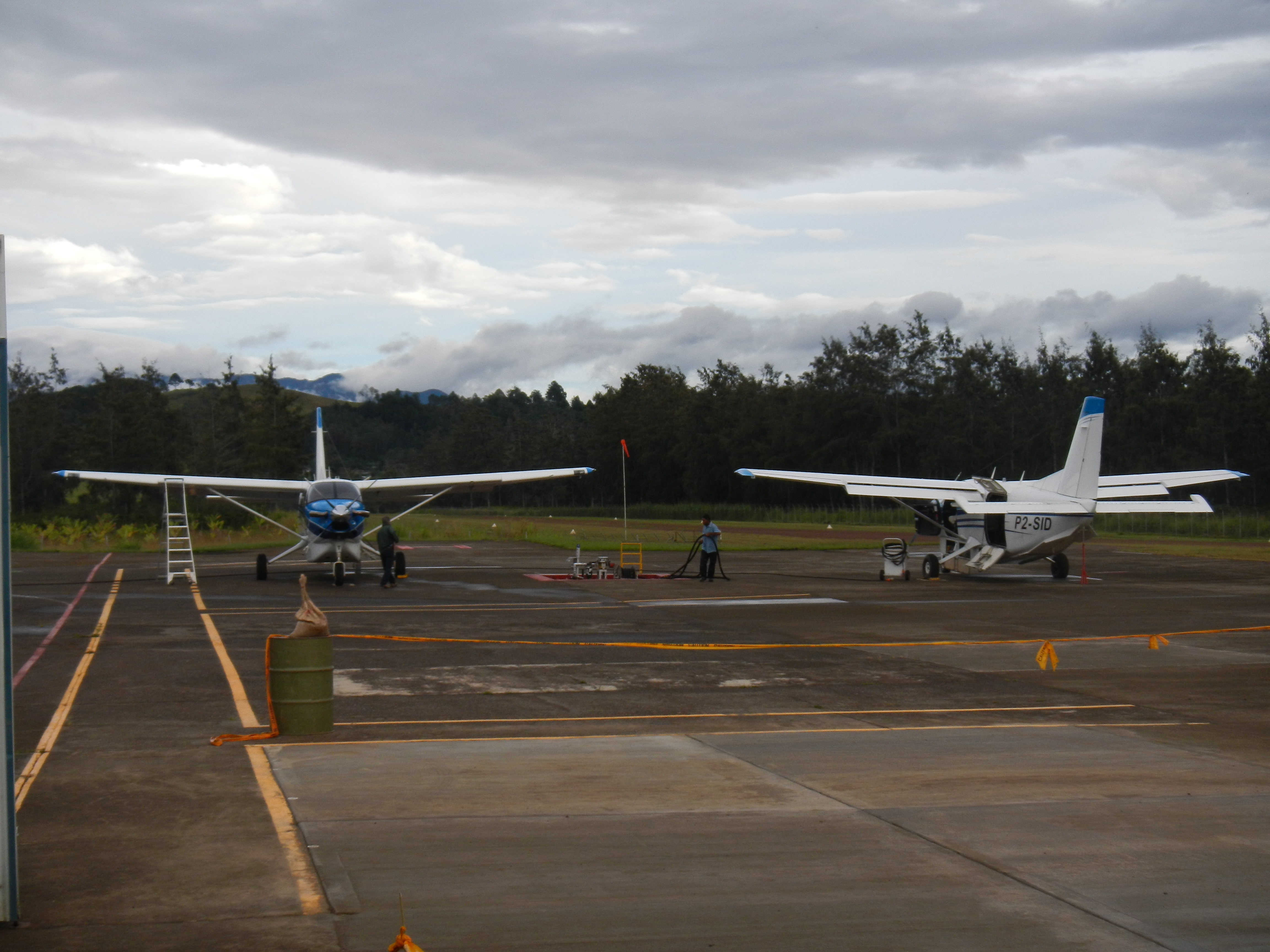
Pair of Kodiaks

206 still in service

Aiyura Airstrip

Aerial EHP

Marita (or kuansu in Papuan, or Pandanus Conoideus in Latin) Sold as Fruit
Topographic Map of Yonki Dam, Highlands Hwy, Papua New Guinea
Find elevation by address:

Places near Yonki Dam, Highlands Hwy, Papua New Guinea:
Ukarumpa
Okapa
Eastern Highlands Province
Goroka
Chuave
Gembogl
Siba
Kundiawa-gembogl District
Kundiawa
Mount Wilhelm
Chimbu Province
Kondiu Rosary Secondary
Pinero Airport
Kugaku
Recent Searches:
- Elevation of Rojo Ct, Atascadero, CA, USA
- Elevation of Flagstaff Drive, Flagstaff Dr, North Carolina, USA
- Elevation of Avery Ln, Lakeland, FL, USA
- Elevation of Woolwine, VA, USA
- Elevation of Lumagwas Diversified Farmers Multi-Purpose Cooperative, Lumagwas, Adtuyon, RV32+MH7, Pangantucan, Bukidnon, Philippines
- Elevation of Homestead Ridge, New Braunfels, TX, USA
- Elevation of Orchard Road, Orchard Rd, Marlborough, NY, USA
- Elevation of 12 Hutchinson Woods Dr, Fletcher, NC, USA
- Elevation of Holloway Ave, San Francisco, CA, USA
- Elevation of Norfolk, NY, USA