Elevation of Yokote, Akita Prefecture, Japan
Location: Japan > Akita Prefecture >
Longitude: 140.566648
Latitude: 39.3137816
Elevation: 64m / 210feet
Barometric Pressure: 101KPa
Elevation Map:
Satellite Map:
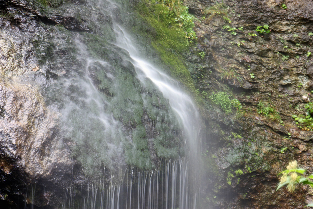
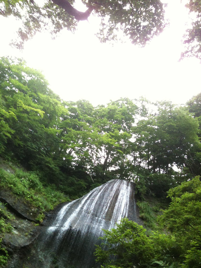
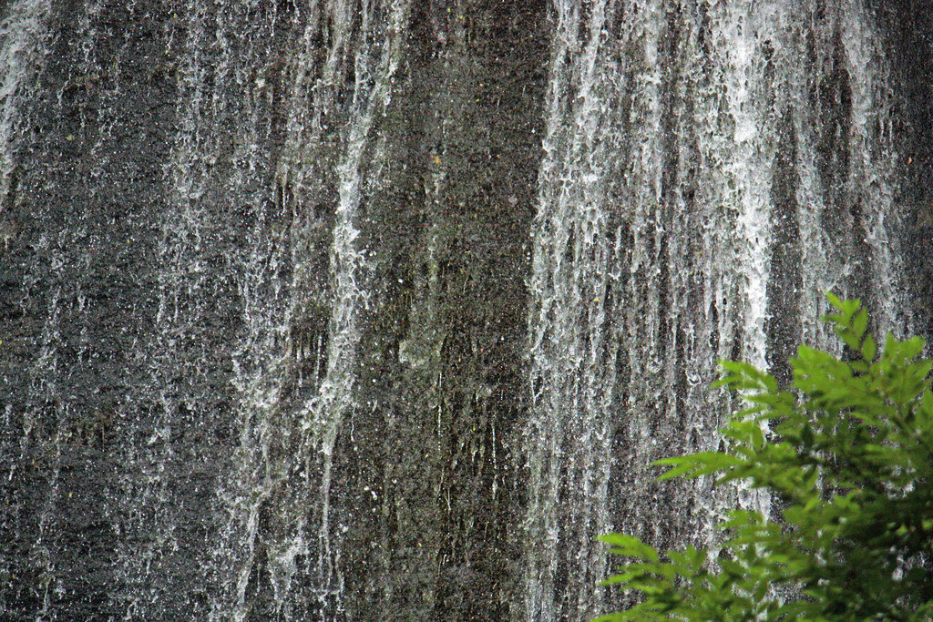
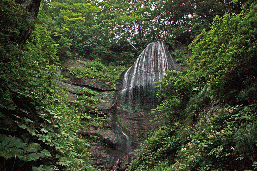
Related Photos:

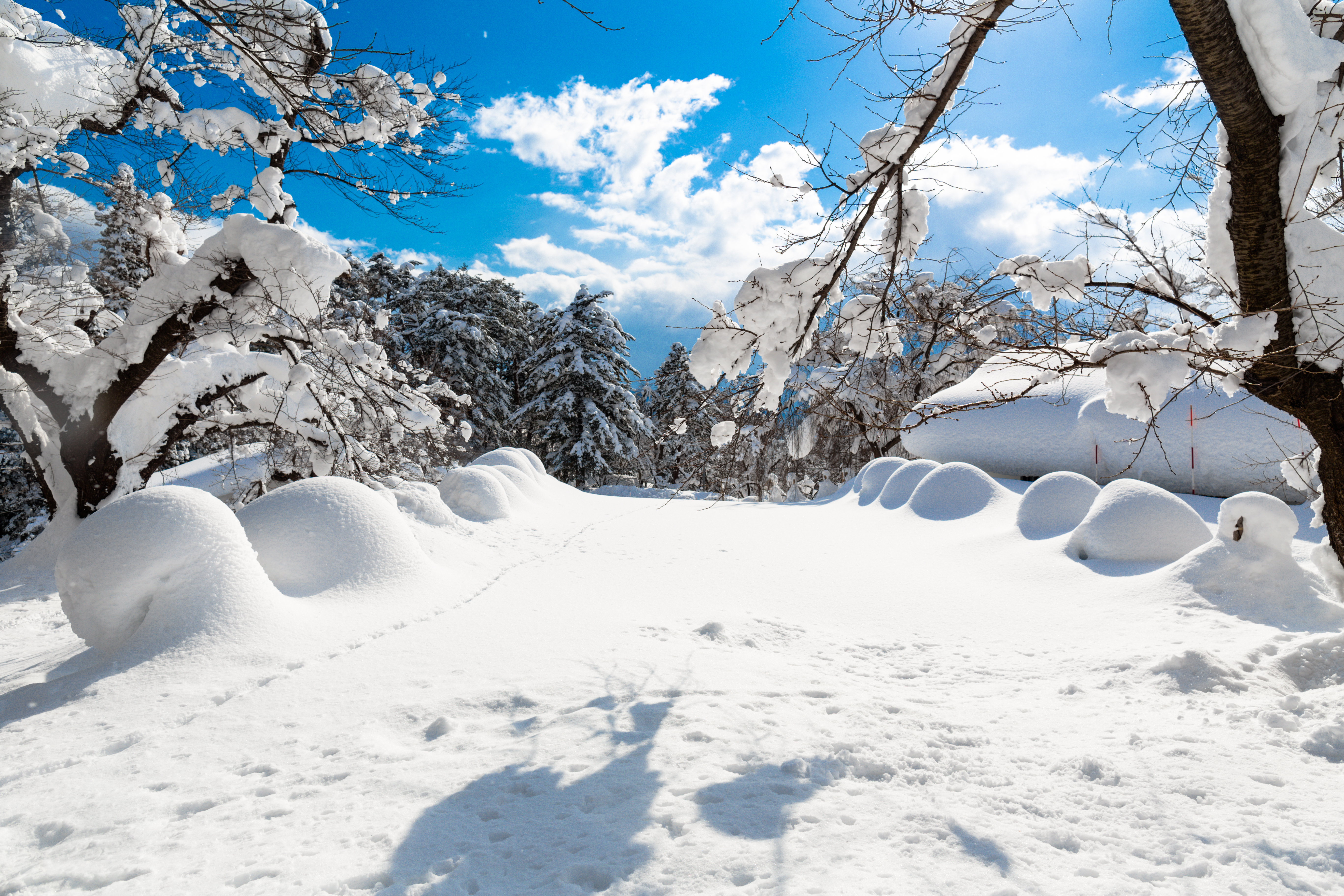
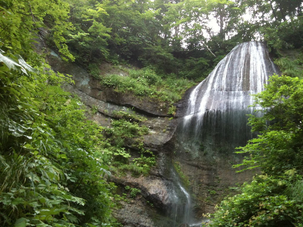
Dramatic Morning.
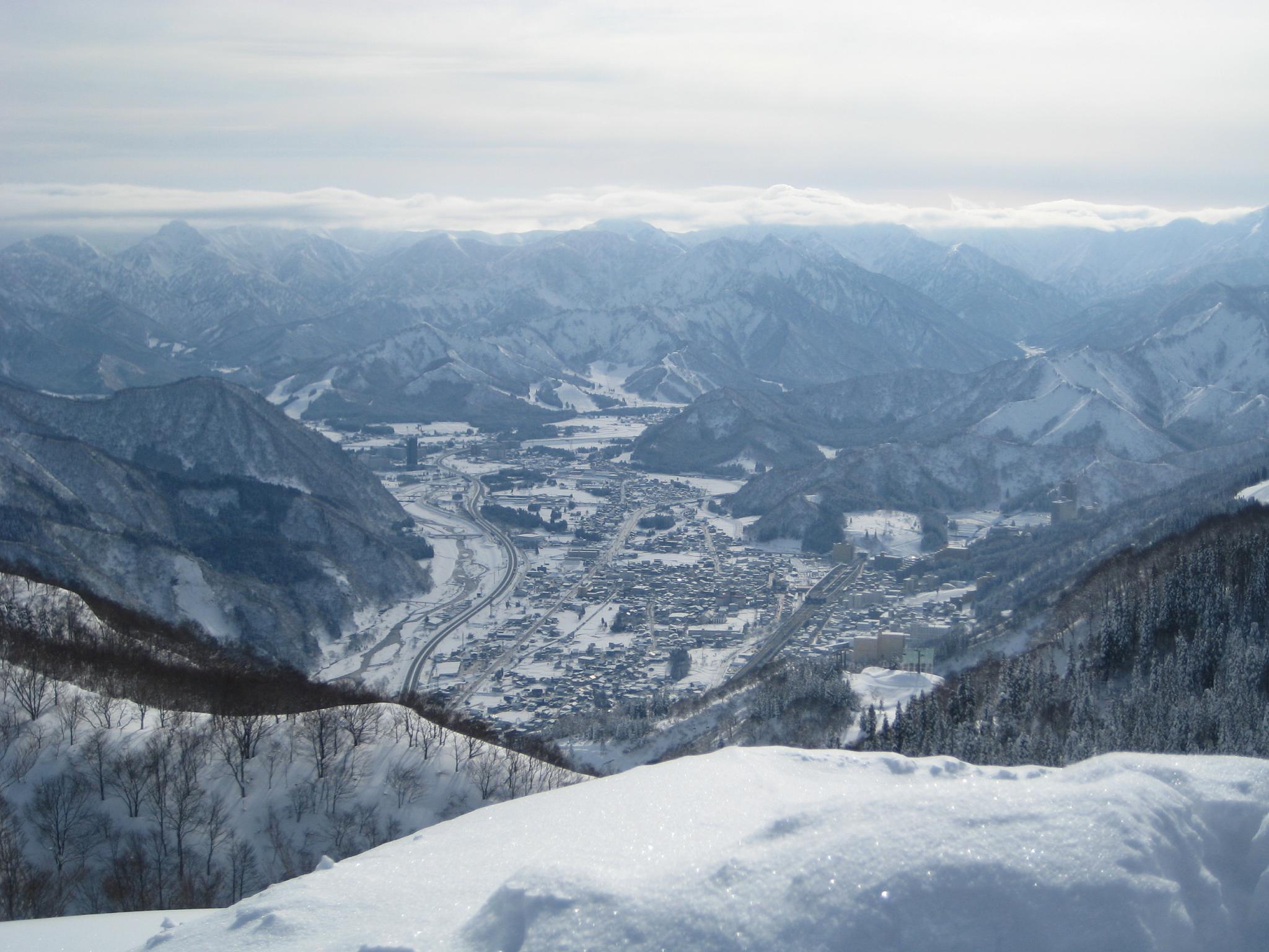
Echigo Yuzawa
Yokote Castle Park
雨よ降らないでくれ。実は1年ぶり位の宿泊出張
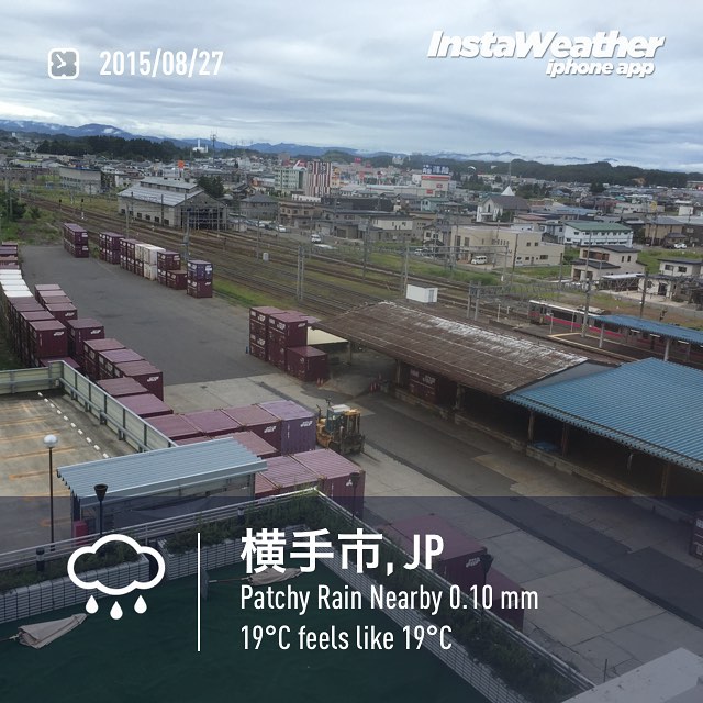
トレインビューの言う名の線路っぷち

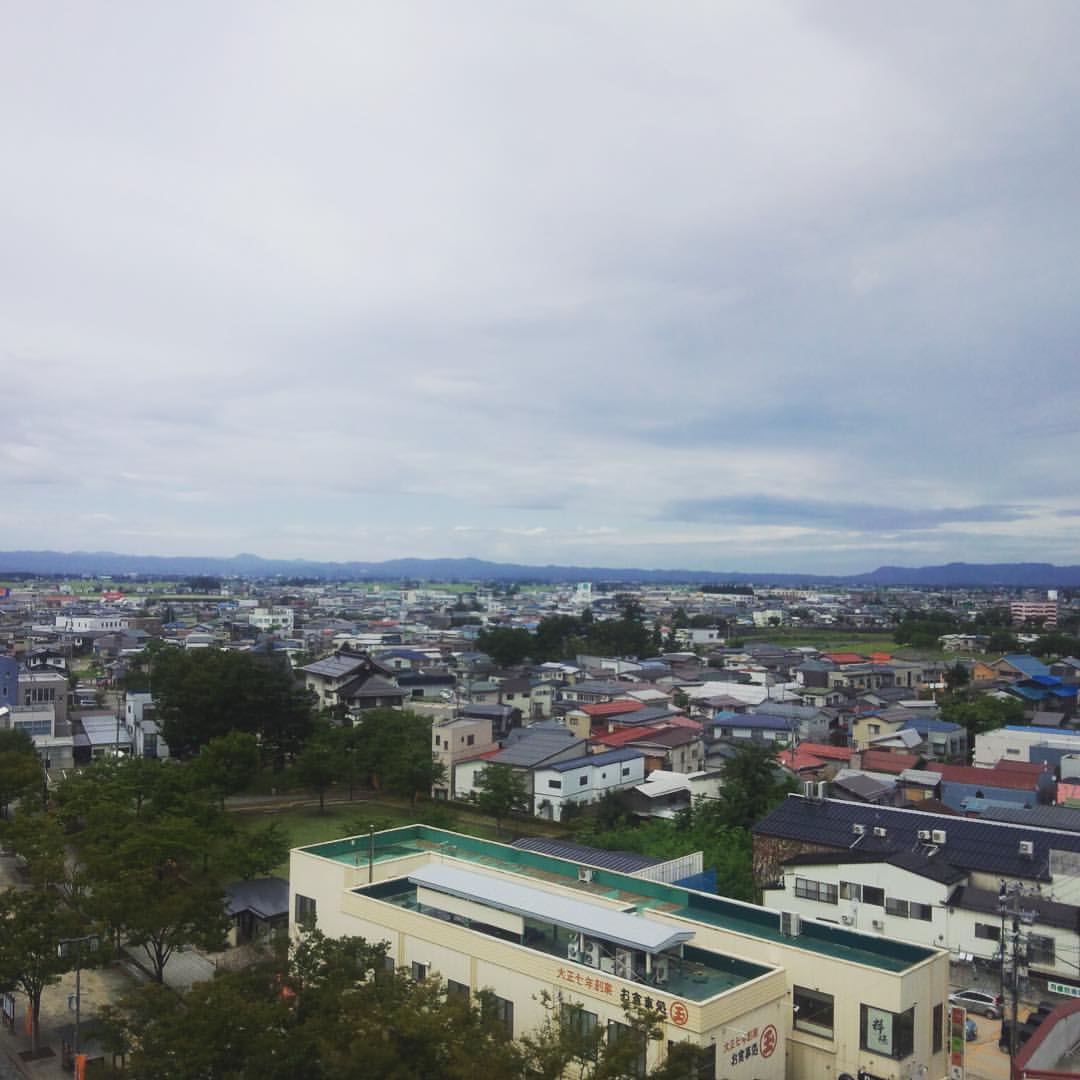
Akita Rice Field
3.2s
きれいねー
1/1250
1/2000
気持ちいい風もふいてきます
Topographic Map of Yokote, Akita Prefecture, Japan
Find elevation by address:

Places in Yokote, Akita Prefecture, Japan:
Shindō-16 Yanagida, Yokote-shi, Akita-ken -, Japan
2-48 Matsubaramachi, Yokote-shi, Akita-ken -, Japan
Fujimaki-1 Taiyū, Yokote-shi, Akita-ken -, Japan
Hizawa-16 Sannaihiranosawa, Yokote-shi, Akita-ken -, Japan
Seibeinishi-56 Taiyū, Yokote-shi, Akita-ken -, Japan
Iehigashi-19-16 Jūmonjimachi Nashinoki, Yokote-shi, Akita-ken -, Japan
Places near Yokote, Akita Prefecture, Japan:
2 Shiroyamamachi
Yokote Castle
2-48 Matsubaramachi, Yokote-shi, Akita-ken -, Japan
Shindō-16 Yanagida, Yokote-shi, Akita-ken -, Japan
Hizawa-16 Sannaihiranosawa, Yokote-shi, Akita-ken -, Japan
Seibeinishi-56 Taiyū, Yokote-shi, Akita-ken -, Japan
Iehigashi-19-16 Jūmonjimachi Nashinoki, Yokote-shi, Akita-ken -, Japan
Fujimaki-1 Taiyū, Yokote-shi, Akita-ken -, Japan
Yuzawa
-5 Nakano, Yuzawa-shi, Akita-ken -, Japan
Ugo
Ogachi District
Nishinosawa-48 Tazawa, Ugo-machi, Ogachi-gun, Akita-ken -, Japan
Fumoto-95 Tashiro, Ugo-machi, Ogachi-gun, Akita-ken -, Japan
Ryōzenji-36 Higashiyurioikata, Yurihonjō-shi, Akita-ken -, Japan
Yahata-36 Higashiyuritateai, Yurihonjō-shi, Akita-ken -, Japan
Shinbaba-9 Shimoinnai, Yuzawa-shi, Akita-ken -, Japan
Mizushiri-56 Nakasendō, Ugo-machi, Ogachi-gun, Akita-ken -, Japan
Jōgozawa-50 Kamisendō, Ugo-machi, Ogachi-gun, Akita-ken -, Japan
Tayōbashi-48 Shimoinnai, Yuzawa-shi, Akita-ken -, Japan
Recent Searches:
- Elevation of Zimmer Trail, Pennsylvania, USA
- Elevation of 87 Kilmartin Ave, Bristol, CT, USA
- Elevation of Honghe National Nature Reserve, QP95+PJP, Tongjiang, Heilongjiang, Jiamusi, Heilongjiang, China
- Elevation of Hercules Dr, Colorado Springs, CO, USA
- Elevation of Szlak pieszy czarny, Poland
- Elevation of Griffing Blvd, Biscayne Park, FL, USA
- Elevation of Kreuzburger Weg 13, Düsseldorf, Germany
- Elevation of Gateway Blvd SE, Canton, OH, USA
- Elevation of East W.T. Harris Boulevard, E W.T. Harris Blvd, Charlotte, NC, USA
- Elevation of West Sugar Creek, Charlotte, NC, USA