Elevation of Yerba Buena Rd, Santa Rosa, CA, USA

Location: United States > California > Sonoma County > Santa Rosa >

Longitude: -122.63893

Latitude: 38.4711784

Elevation: 123m / 404feet

Barometric Pressure: 100KPa

Elevation Map:

elevation map of Yerba Buena Rd, Santa Rosa, CA, USA

Satellite Map:

Satellite map of Yerba Buena Rd, Santa Rosa, CA, USA

Related Photos:

california light sunset tree grass leaves northerncalifornia clouds oak nikon rocks view branches bark sonomacounty santarosa oaktree d600 paradiseridgewinery bobbowman rmbimages robertbowmanphotography
Watch Your Step
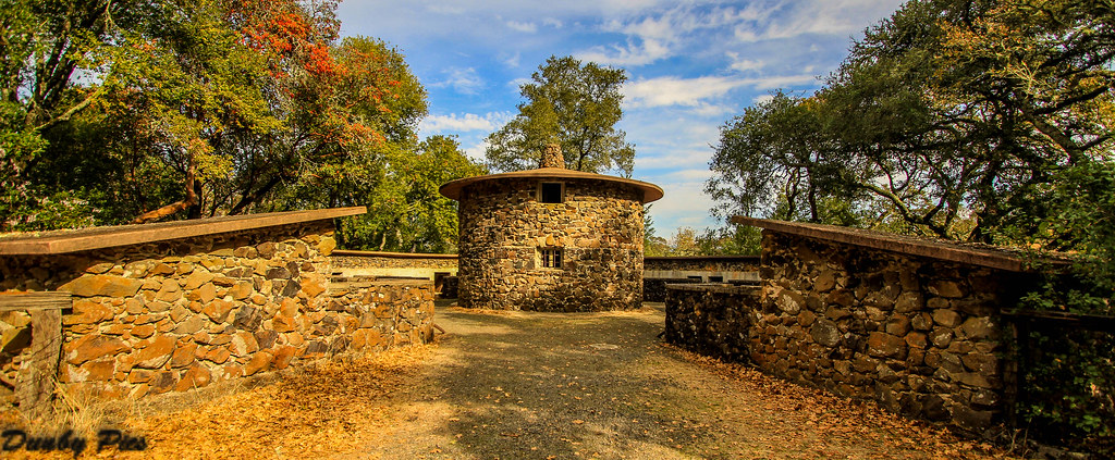
Focus on Structures and Architecture at Jack London State Historic Park
porsche ledsonwinery
Ledson Winery - Porsche
ranch park county moon house london history beauty jack vineyard natural state wine country sonoma trails landmark historic valley walls
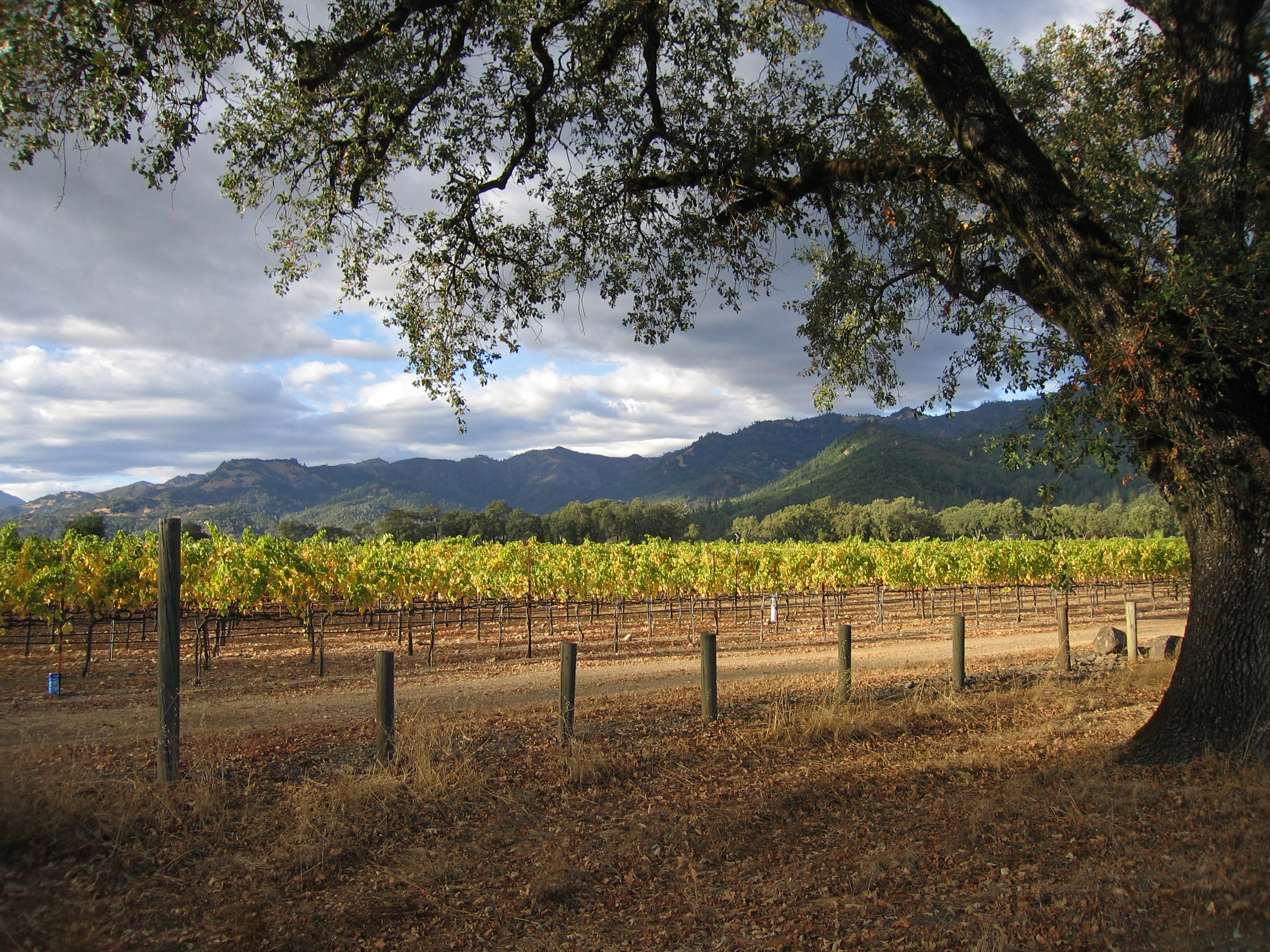
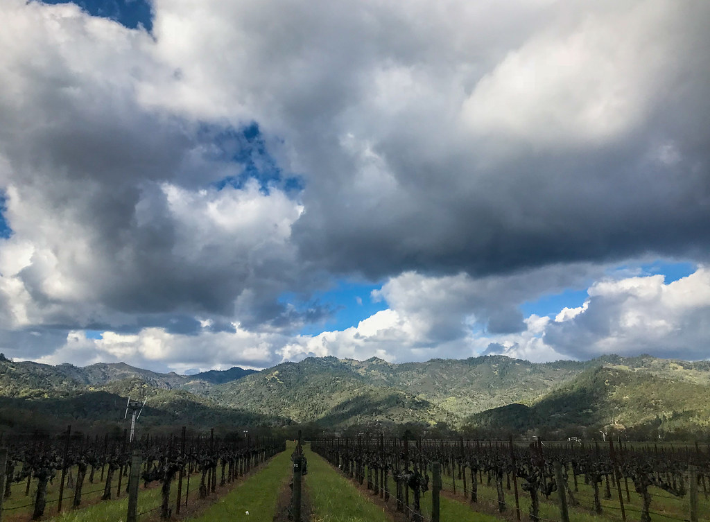
Vineyards surrounding Jack London State Historic Park
ranch park county moon house hot london history beauty museum jack happy pig photo vineyard wolf picnic flickr natural state wine country sonoma barns trails pic landmark palace historic valley walls association jacklondonparkcom
Jack London State Historic Park
ranch park county moon house london history beauty museum jack happy pig vineyard wolf picnic natural state wine country sonoma barns trails landmark palace historic valley walls association
Jack London State Historic Park
california santarosa sonomacounty hillside landscape trees vineyards crainecreekregionalpark wines grapes summer late afternoon
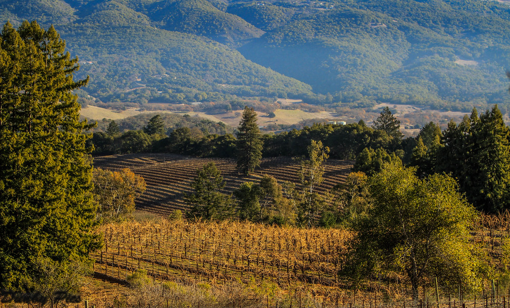
Sonoma Wine Country Vineyards
ranch park county moon house hot london history beauty museum jack happy pig photo vineyard wolf picnic flickr natural state wine country sonoma barns trails pic landmark palace historic valley walls association jacklondonparkcom
Pig Palace at Jack London State Historic Park
ranch park county moon house london history beauty museum jack happy pig vineyard wolf picnic natural state wine country sonoma barns trails landmark palace historic valley walls association
Windmill - Jack London State Historic Park
califonia hoodmountainregionalpark landscape otherkeywords santrosa sonomacounty beautiful blue clouds grass hills mist rocks sky
Rain and Sun
Ledson Winery - Porsche
square squareformat iphoneography instagramapp uploaded:by=instagram foursquare:venue=4ad8f51df964a5206d1621e3
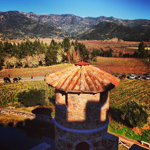
View from sattui's castle
ca valley napa chateau the montelena
Chateau Montelena_9035d
explore specanimal mywinners lmaoanimalphotoaward
Ready for Winter!
california vineyard winery sonomacounty winecountry kenwood ledson
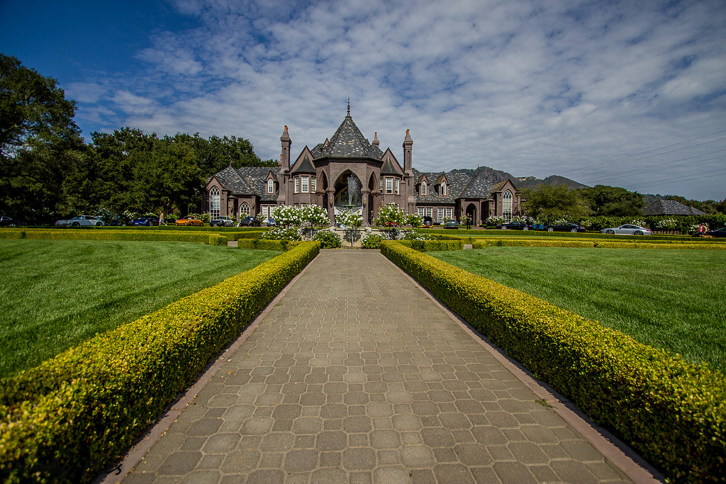
Sonoma County Wine Country - Ledson Winery
ca that vines place map valley napa chateau put global montelena
Chateau Montelena_9071d
trees painterly fall clouds landscape vineyard napa
Fall in Wine Country
trees pinhole papernegative oaks cranecreek goatrockcam
pinhole oaks
cardinalmeadowhawk sympetrumillotum dragonfly kenwood d300 sigma 05312013 nikon nikonians nikonsigma davidschultzphotographycom mountbakercameraclub throughthelensrevelations dx outdoor aircraft airplane vehicle car
Cardinal Meadowhawk "Sympetrum illotum"
california ranch park county camp moon house lake fern london history beauty museum jack happy pig ellen vineyard wolf picnic natural state wine country sonoma barns trails landmark palace historic glen via valley walls association wsweekly63
Shady Trail - Jack London State Park
california landscape geotagged vineyard final napa sthelena winecountry geo:lat=38531768 geo:lon=122503588 sfchronicle96hours kagoldberg myfaves1
North of St. Helena #3
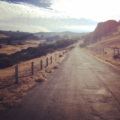
tree fog ngc sonomacounty
Morning Light
square squareformat iphoneography instagramapp xproii uploaded:by=instagram foursquare:venue=4de07f718877aab7fe4cf716
more green-and-fog, from this morning's commute
mountain green film grass hill sonoma pasture instant slr680 theimpossibleproject px680
sonoma mtn
sky clouds hill cranecreek iphone snapseed
hill and sky
square squareformat rise iphoneography instagramapp uploaded:by=instagram foursquare:venue=4de07f718877aab7fe4cf716
looking back up at Sonoma Mtn
square squareformat lomofi iphoneography instagramapp uploaded:by=instagram foursquare:venue=4aa0912bf964a5200d4020e3
The air up there
westernpondturtle actinemysmarmorata d700 kenwood 06012013nikonnikoniansnikkormacrodavidschultzphotographycommount baker camera club davidschultzphotographycom throughthelensrevelations nikon28300mmf3556gedvrafs nikon afs 283003556 g ed vr outdoor aircraft airplane vehicle car nikonafs283003556gedvr
Western Pond Turtle "Actinemys marmorata"
Napa Valley Sunset
california trees light northerncalifornia clouds vineyard oak weeds nikon sonomacounty oaktrees kunde kenwood highway12 rmbimages
Vineyard Light
ir sonoma mf a35105 pentaxk100ds sio12
IMGP4051-Edit
square squareformat brannan iphoneography instagramapp uploaded:by=instagram foursquare:venue=4a4e75eaf964a5207fae1fe3
Great day for tasting in #Sonoma
california autumn castle fall vineyard nikon colorful unitedstates calistoga foggy overcast winery rainy napavalley nikkor grapevines lightrain sainthelena nikond300
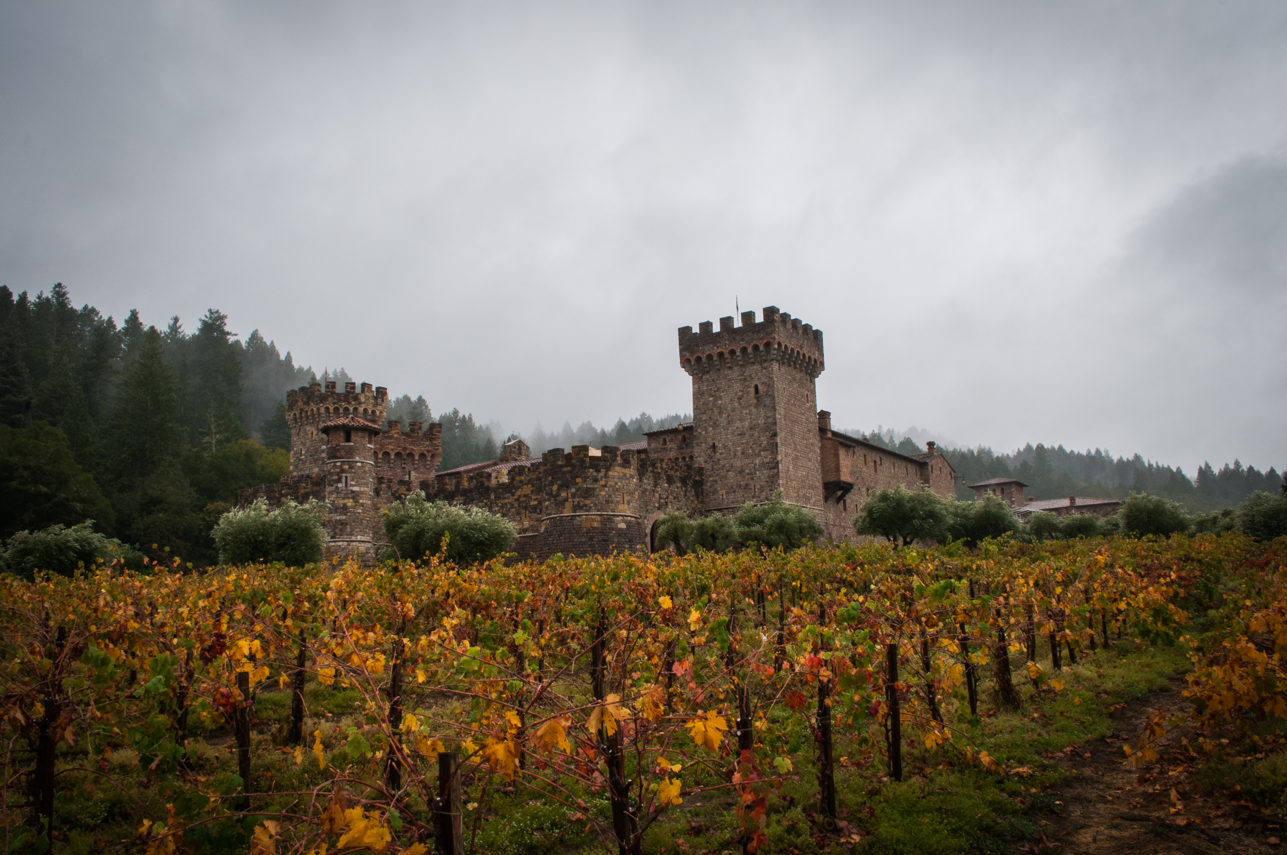
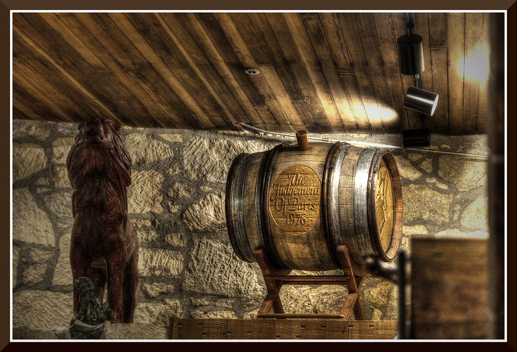
Enough Wine to Fill a Moat
california ca light storm clouds vineyard spring wine cloudy country calistoga grapes clearing momentary
Momentary Light at Vineyard in Early Spring
landscape blackandwhiteandcolor 11082015 clouds d810 nikon santarosaca sky fx davidschultzphotographycom
Ominous Sky
uploaded:by=flickstagram instagram:photo=735105477395354189366491539 instagram:venuename=newtonvineyard instagram:venue=567086
Newton Vineyards. Pretty.
california canon pond sonomacounty springlakepark californianewt 5dmarkiii
Seasonal Pond for the Newts
clouds sonoma cranecreek rohnertpark
Last Ray
kundewinery valleyofthemoon kenwoodca d800 nikon nikonians nikkor 03022014 davidschultzphotographycom mountbakercameraclub santarosaphotographicsociety throughthelensrevelations nikon28300mmf3556gedvrafs fx outdoor aircraft airplane vehicle car nikonafs283003556gedvr
Mother Nature's Light Painting
IMG_0657.jpg