Elevation of Yellow Dog Rd, Elberfeld, IN, USA
Location: United States > Indiana > Gibson County > Barton Township >
Longitude: -87.412056
Latitude: 38.2282623
Elevation: 141m / 463feet
Barometric Pressure: 100KPa
Elevation Map:
Satellite Map:
Related Photos:
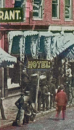
Saturday in Oakland City, Indiana, close-up section 2
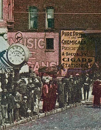
Saturday in Oakland City, Indiana, close-up section 1
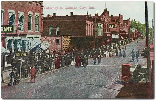
Saturday in Oakland City, Indiana

The view from my reading tree

Reaching For A Piece Of The Sun... (We all reach for that star sometimes)

Wings In Motion
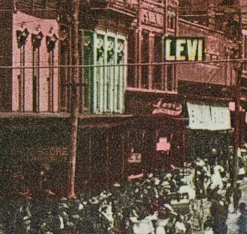
Saturday in Oakland City, Indiana, close-up section 3

A Beautiful View, On A Cloudy Day

"If You Like Piña Coladas And...."

That's A Big Straw!!

Worse For Wear... (A Reprise)
Main Street looking north, Oakland City, Indiana

Standing Stiff

Worse For Wear.....

A Soldier's Work Is Never Done

Wildflowers In Hoosier National Forest

Coal Mine
Pump jack
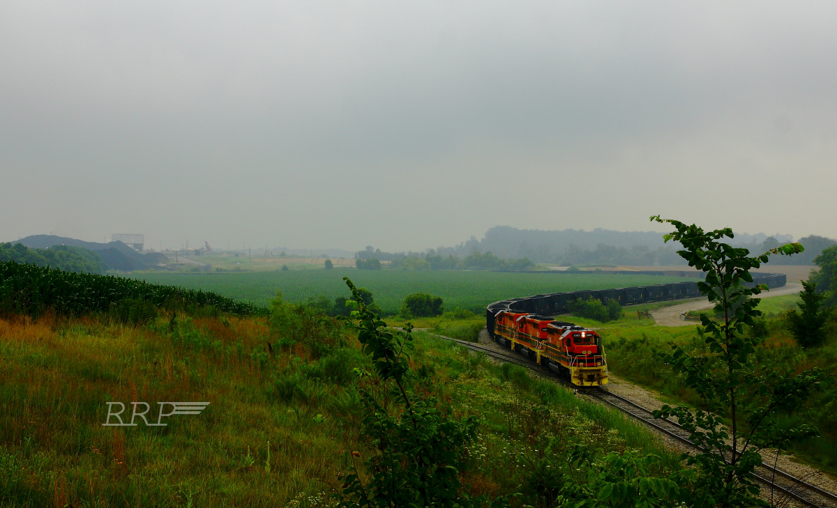
ISRR 3371 Somerville IN 23 Oct 2014b
Warrick County Coal Surface Mining (Strip Mine)

fishin'
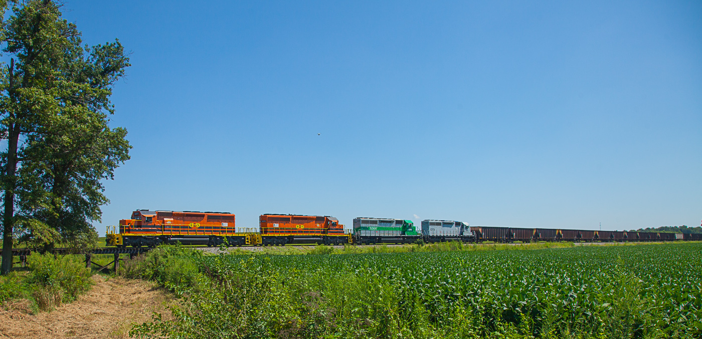
ISRR 3371 Buckskin IN 24 Aug 2013

UP 6204 CSX Q234 Ft Branch IN 15 Mar 2015

Indiana sunset

My front yard
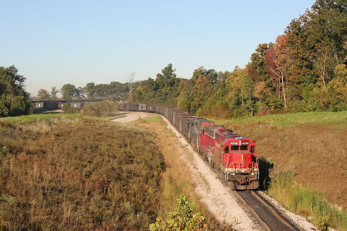
ISRR 4039 Somerville IN 08 Oct 2006

Short-eared Owl 1-14-2016 by Tom Becker
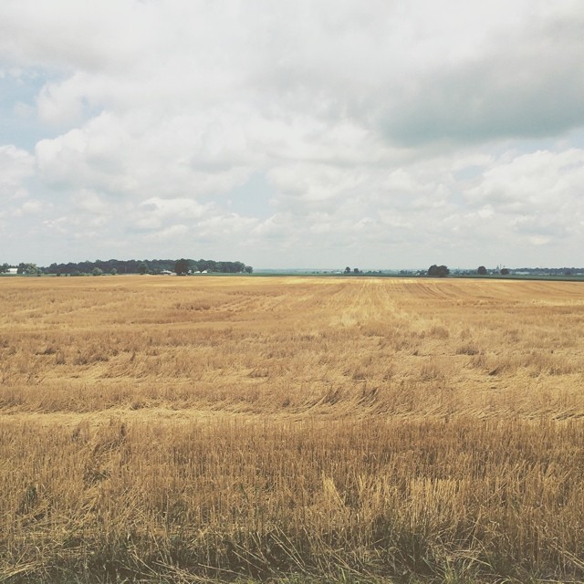
Amber waves of grain and whatnot #indiana #haubstadt #rurallife #rural #farming #farm #field #country #simplebeauty

Savannah Sparrow 3-25-2016 by Tom Becker

Bluegrass Sunrise 02
No Matter What

Cross country trip
Gibson County, Indiana
Indiana, Warrick County
Topographic Map of Yellow Dog Rd, Elberfeld, IN, USA
Find elevation by address:

Places near Yellow Dog Rd, Elberfeld, IN, USA:
Barton Township
Greer Township
Elberfeld
Weyerbacher Rd, Elberfeld, IN, USA
Co Rd S, Oakland City, IN, USA
Lynnville
2344 In-68
Warrenton Rd, Haubstadt, IN, USA
Hart Township
12711 County Rd 150 W
13200 County Rd 150 W
IN-61, Boonville, IN, USA
Spurgeon
Fredonia St, Spurgeon, IN, USA
IN-61, Oakland City, IN, USA
IN-61, Oakland City, IN, USA
Monroe Township
IN-68, Lynnville, IN, USA
Lane Township
Owen Township
Recent Searches:
- Elevation of Kreuzburger Weg 13, Düsseldorf, Germany
- Elevation of Gateway Blvd SE, Canton, OH, USA
- Elevation of East W.T. Harris Boulevard, E W.T. Harris Blvd, Charlotte, NC, USA
- Elevation of West Sugar Creek, Charlotte, NC, USA
- Elevation of Wayland, NY, USA
- Elevation of Steadfast Ct, Daphne, AL, USA
- Elevation of Lagasgasan, X+CQH, Tiaong, Quezon, Philippines
- Elevation of Rojo Ct, Atascadero, CA, USA
- Elevation of Flagstaff Drive, Flagstaff Dr, North Carolina, USA
- Elevation of Avery Ln, Lakeland, FL, USA