Elevation of Yellow Creek, NC, USA
Location: United States > North Carolina > Graham County >
Longitude: -83.953257
Latitude: 35.3928288
Elevation: 1294m / 4245feet
Barometric Pressure: 87KPa
Elevation Map:
Satellite Map:
Related Photos:

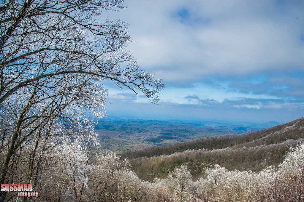
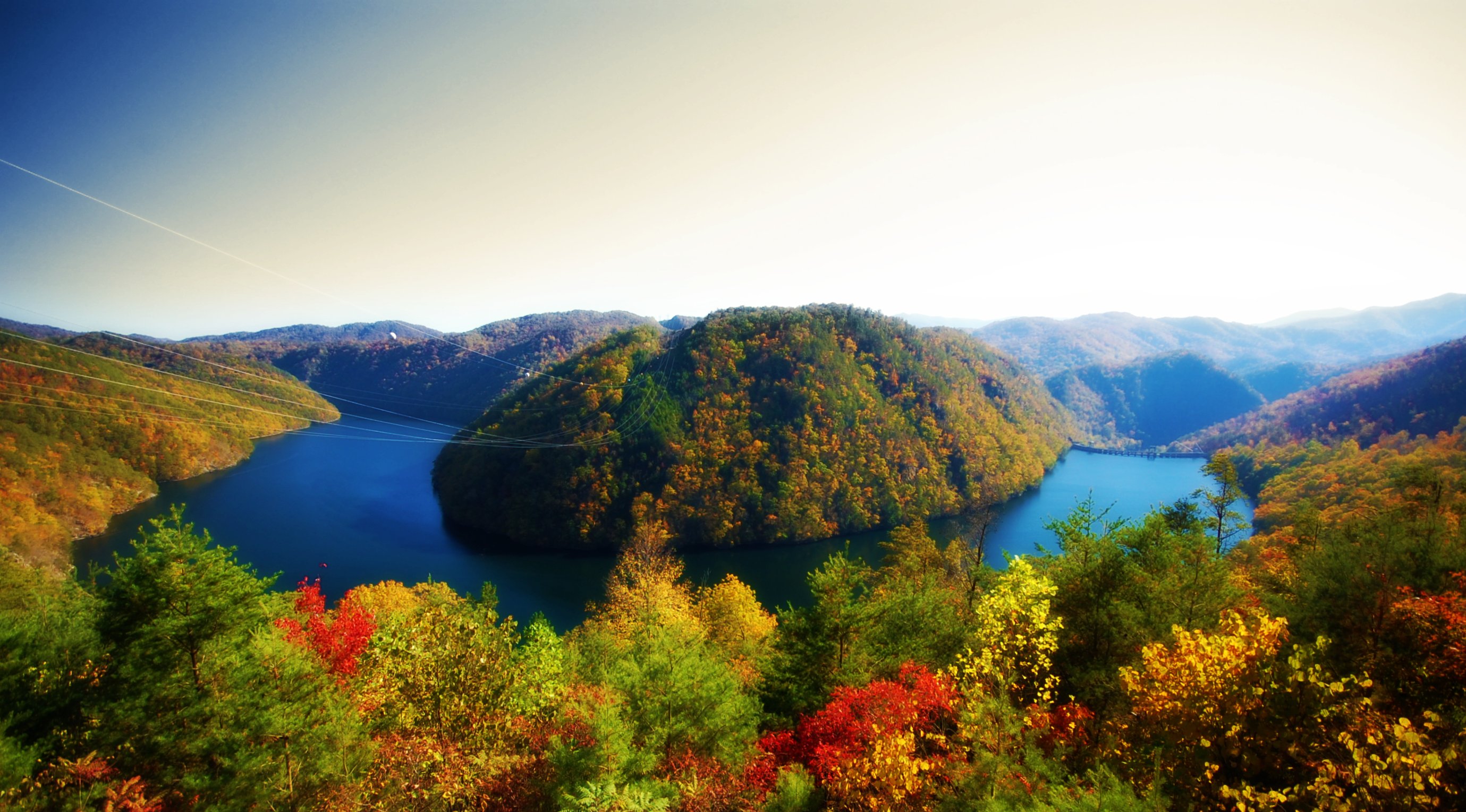
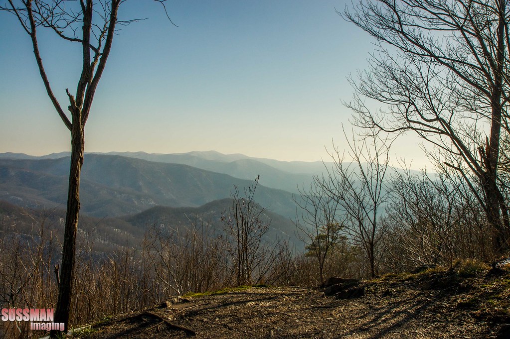
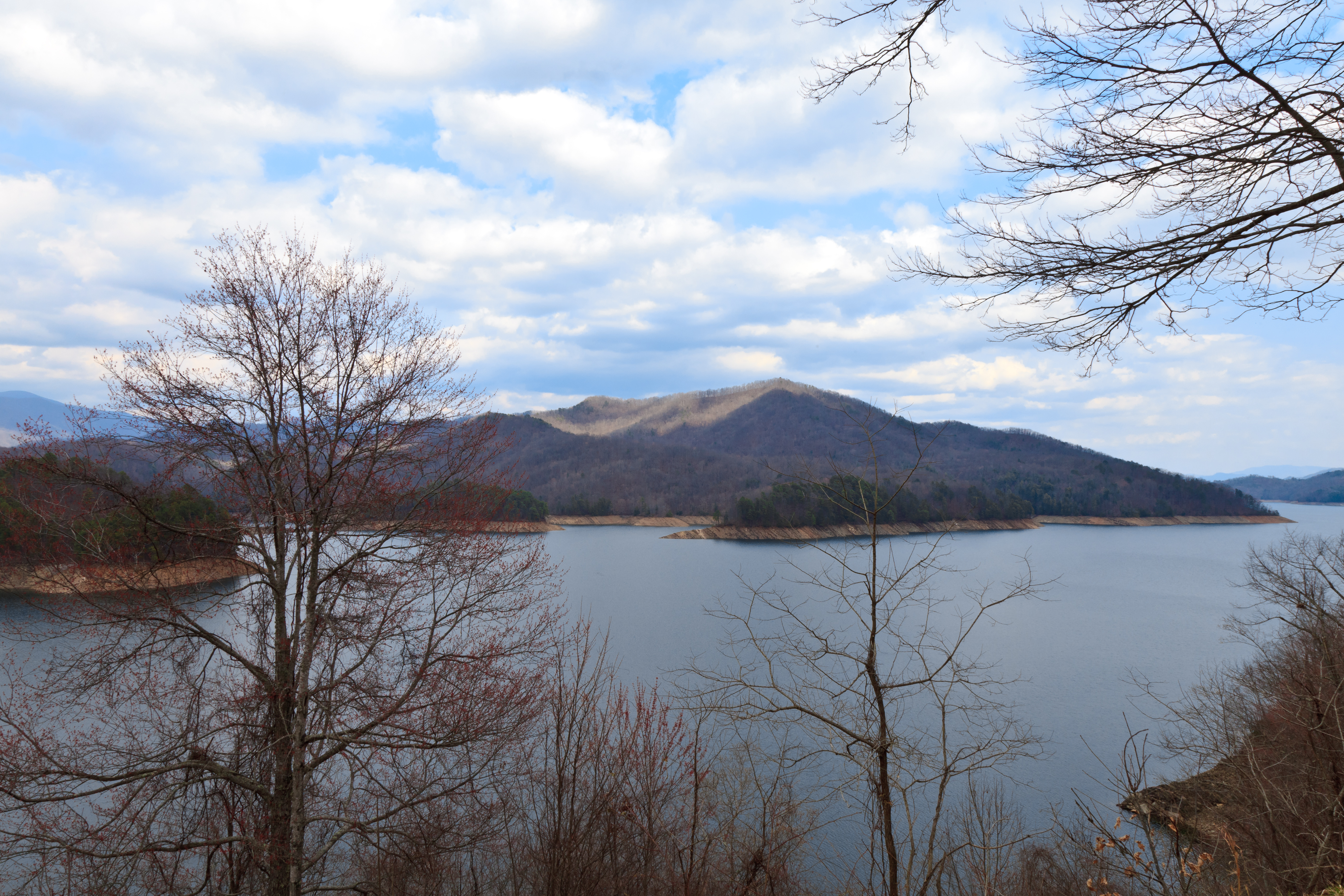
Rocky, Lake View Overlook
Cherohala Skyway
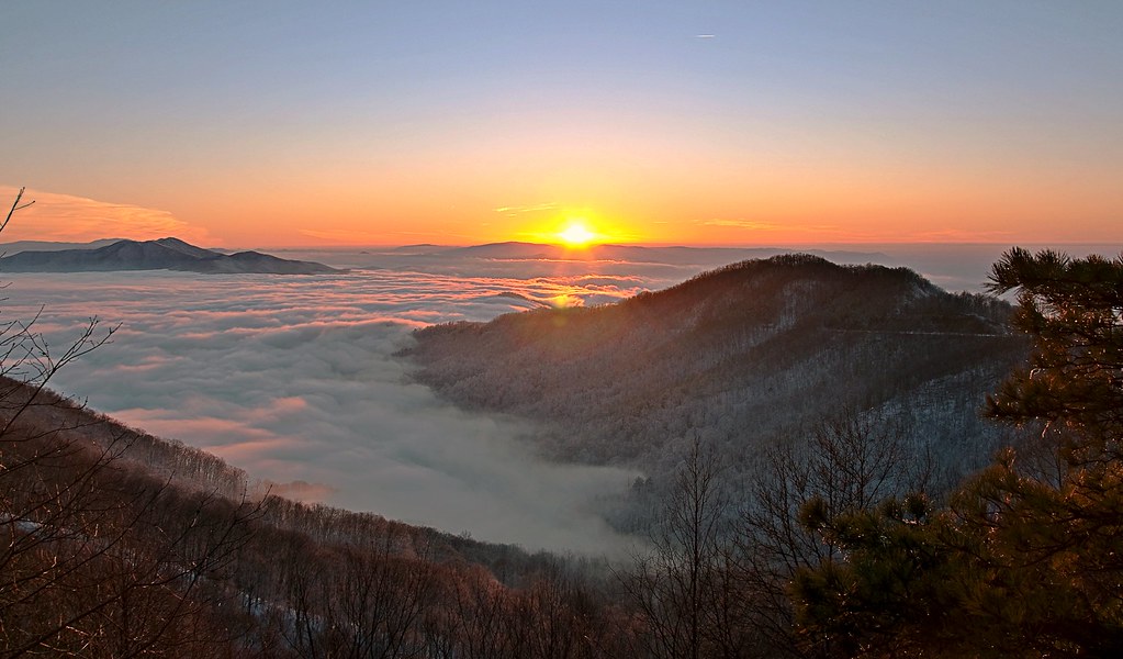
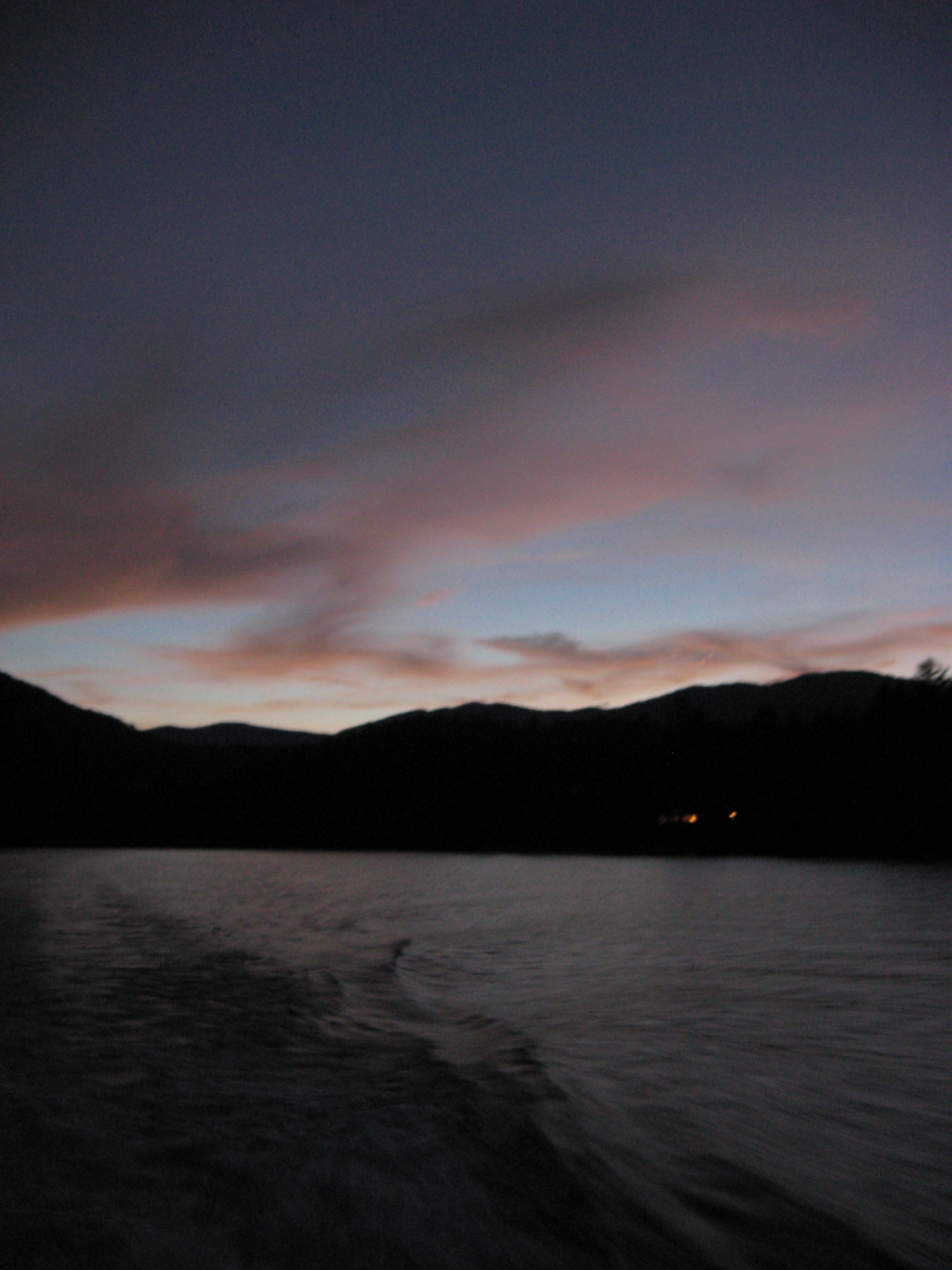
Sunset above the clouds
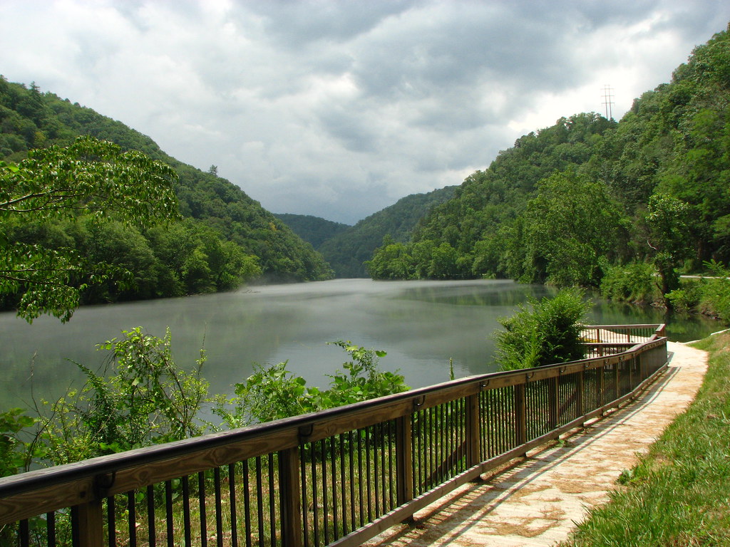
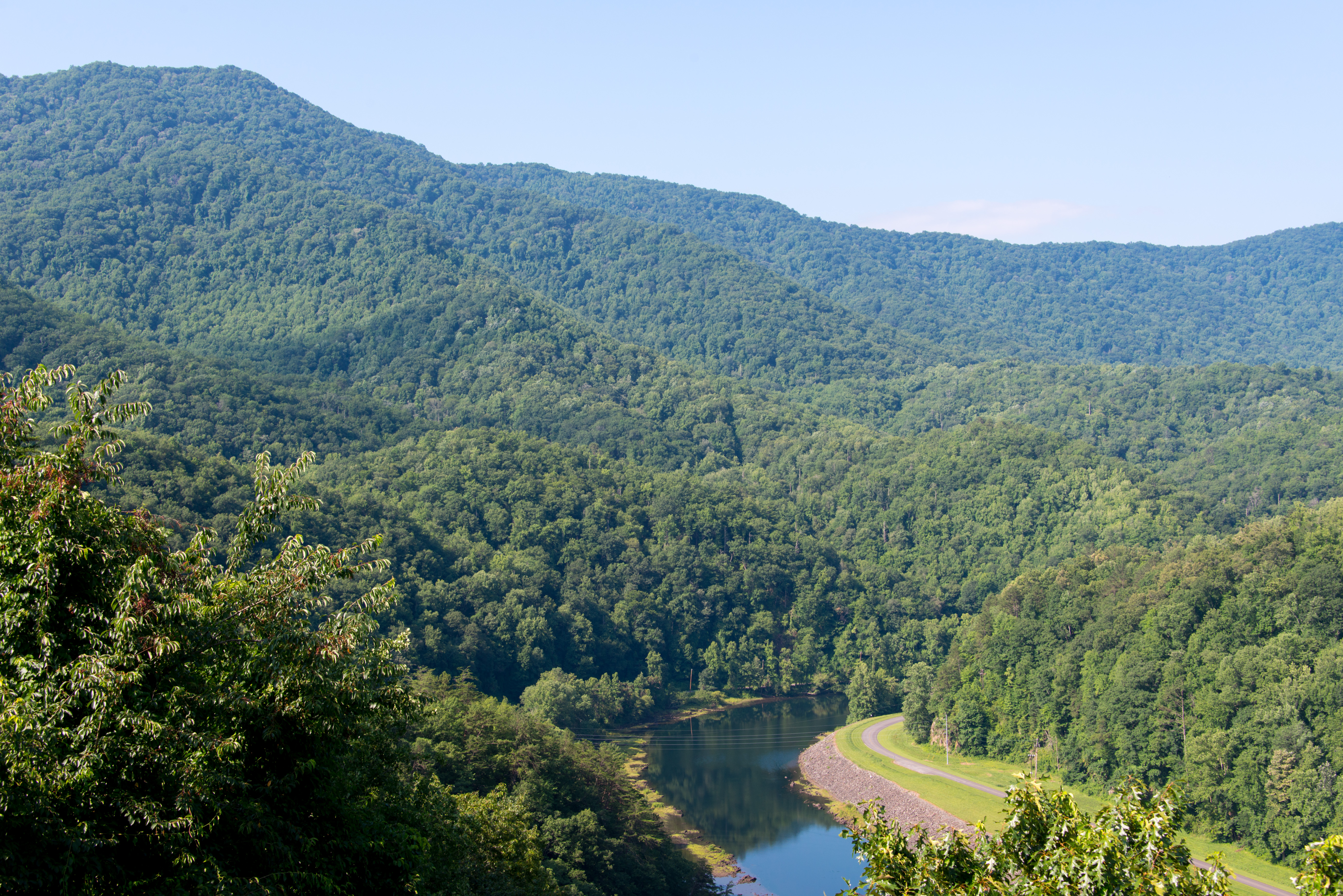
View of the Little Tennessee River

From Sea to Cloudy Sea.......
GSMNP Backpack Day 6 - June 28, 2014 - View Downstream of Fontana Dam
Chilhowee Lake from US129 "Tail of the Dragon"
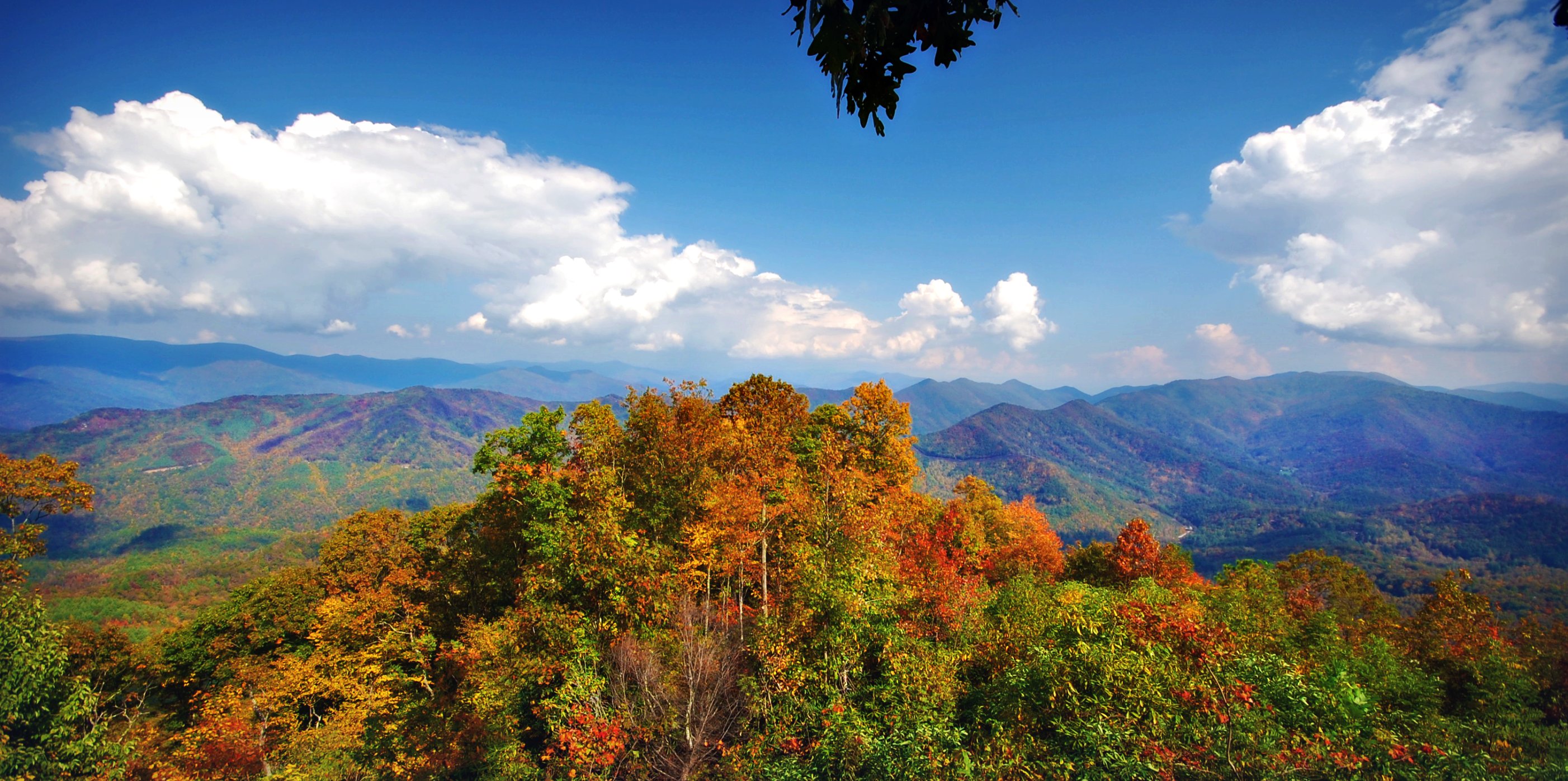
Mountain views

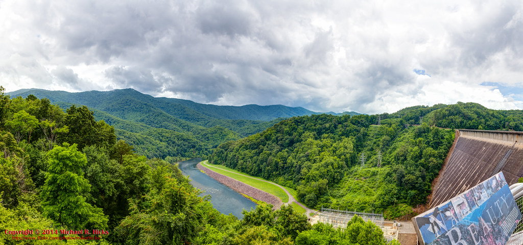
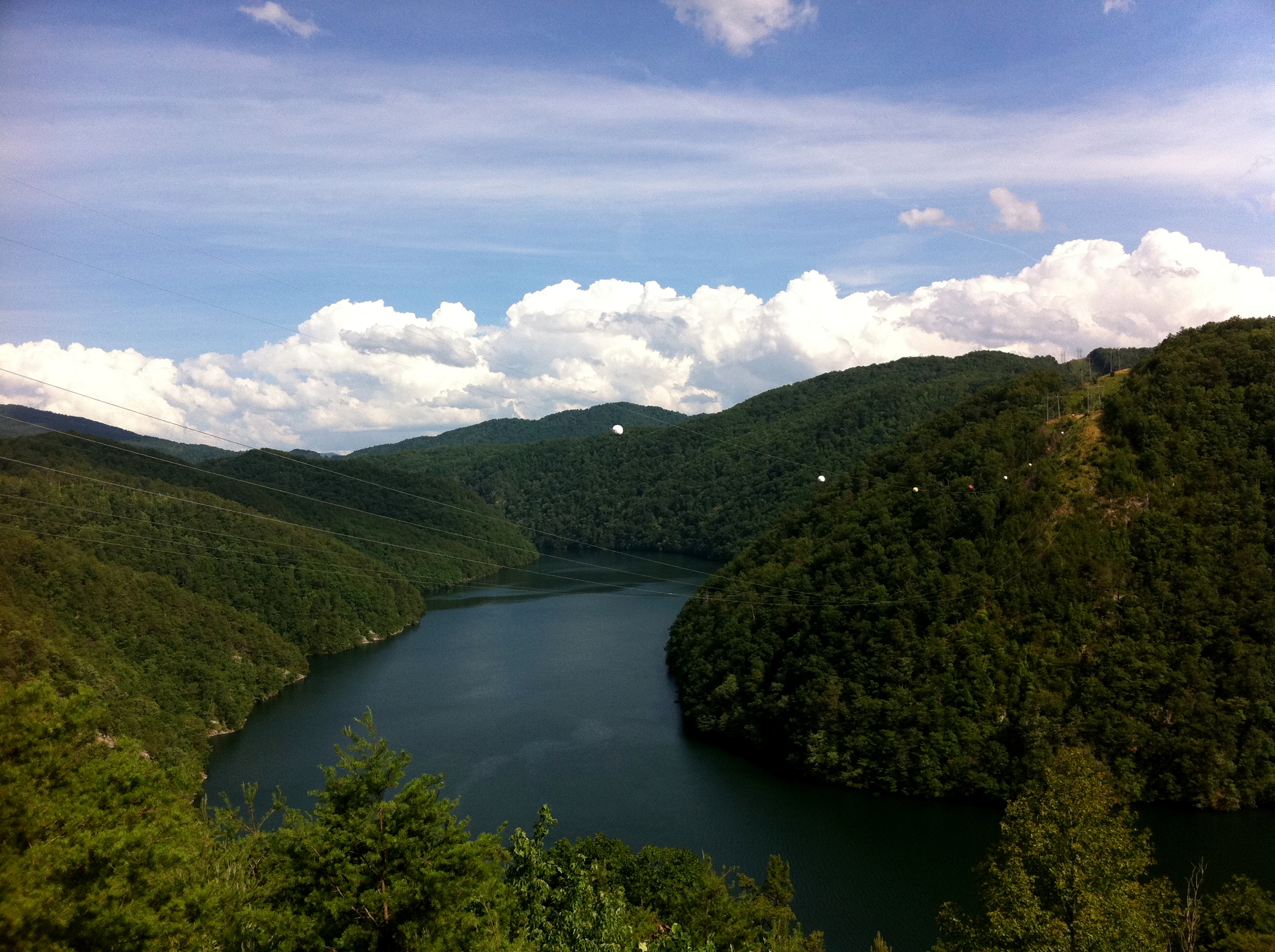
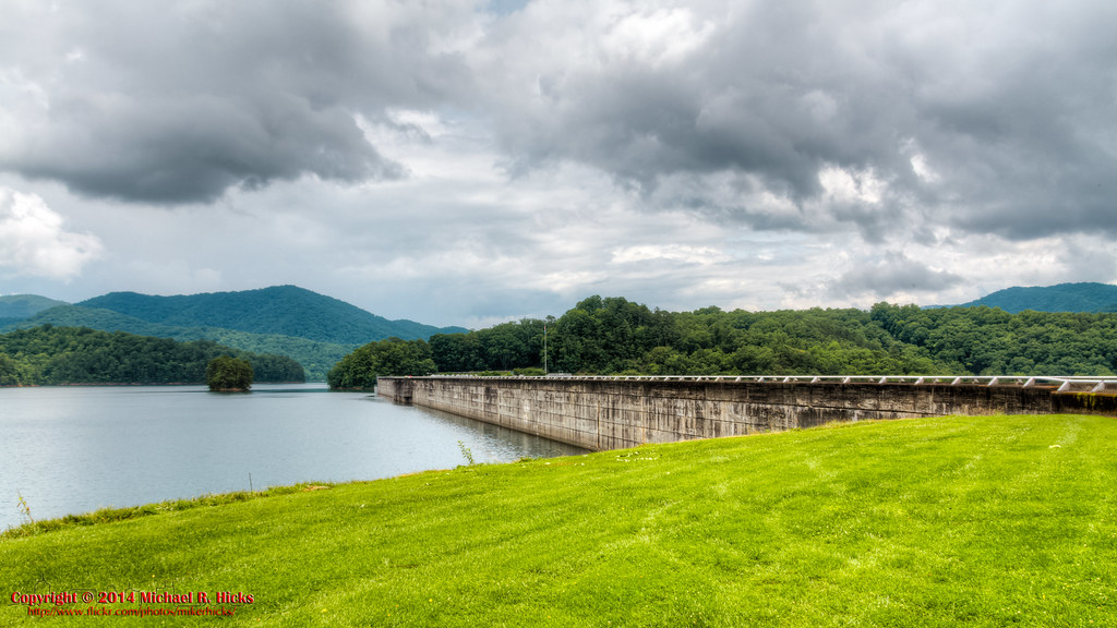
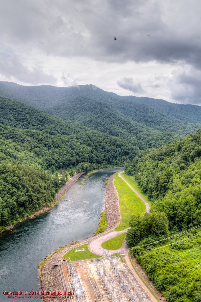
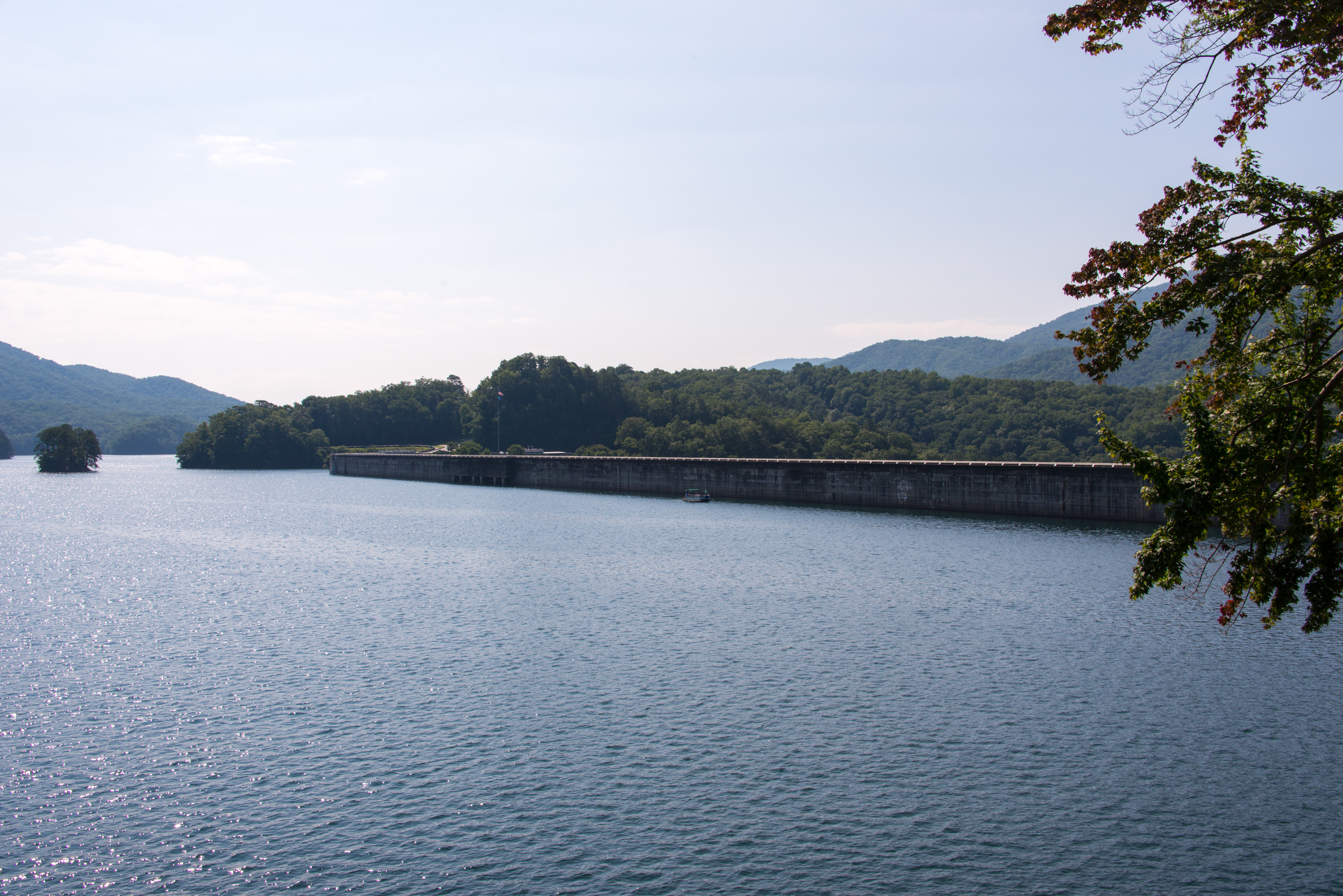
View from the Dam
Back to the Smokies in 33 days and counting
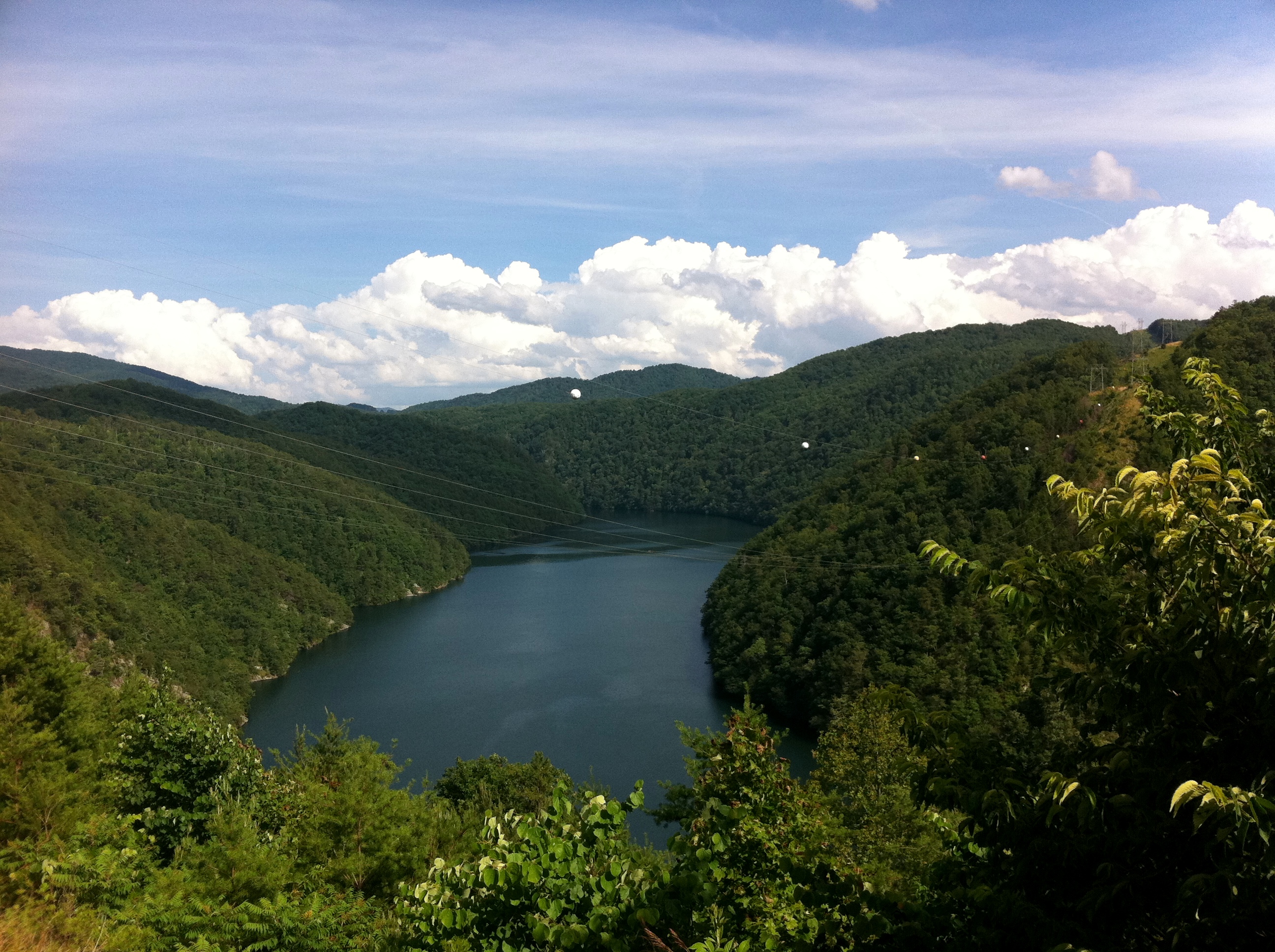
Mountain views
140706-3175 Fontana Dam
View From Shook Stack
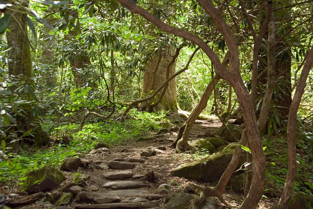
the sylvan way
Cherohala Skyway
Cherohala Skyway
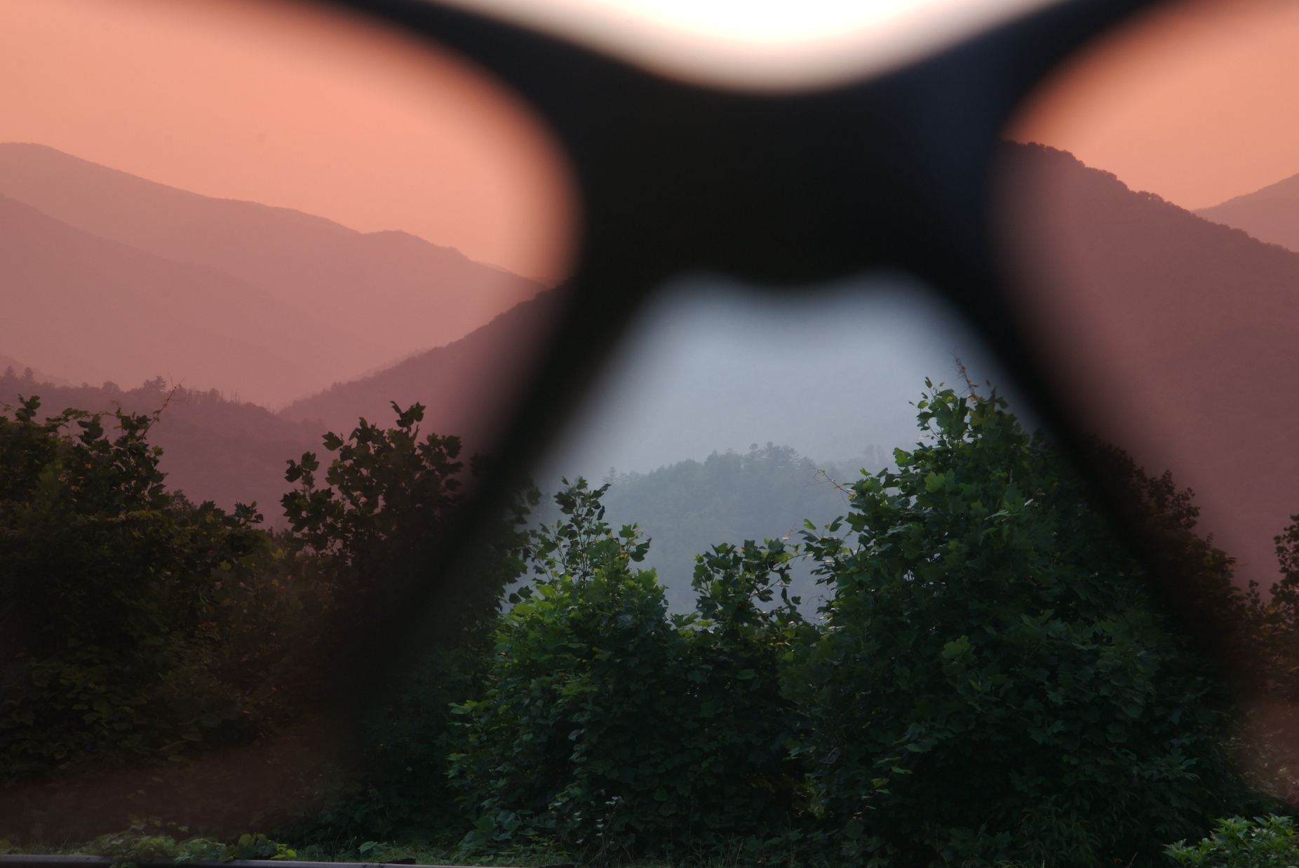
rosy filter
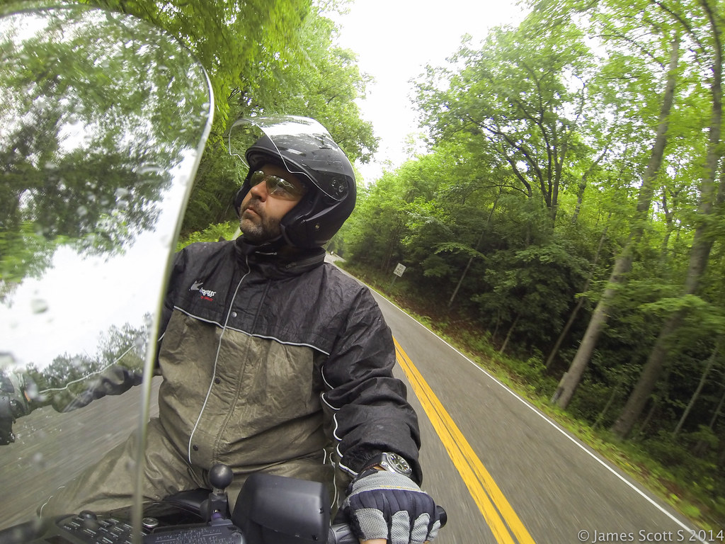
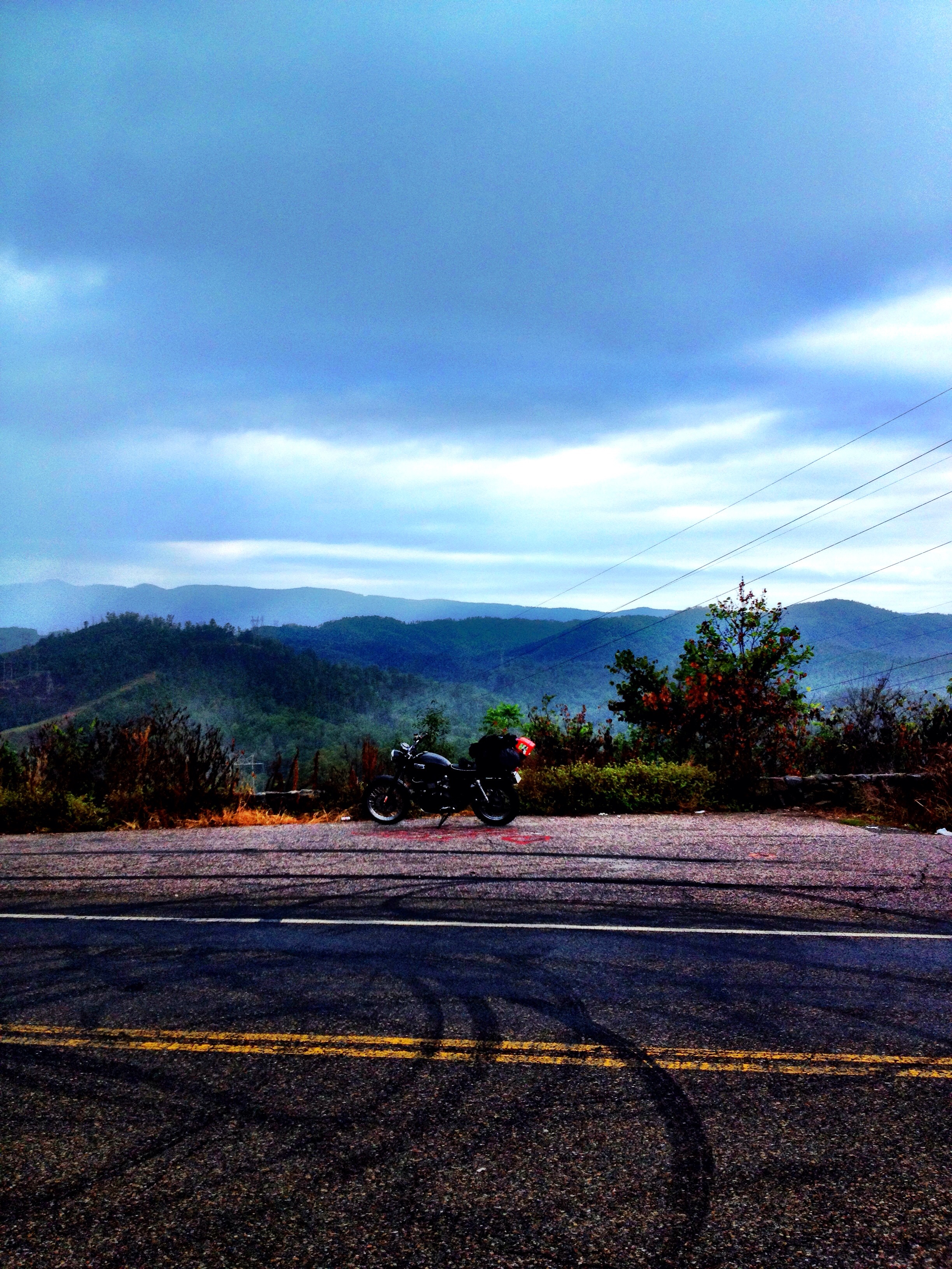
20140529 Hero3 Appalachian Motorcycle Ride 251
View from the Dragon
Smokies-20110311-220.jpg

a view from a bridge
Into the Woods
GSMNP Backpack Day 6 - June 28, 2014 - Approaching Fontana Dam
Upload 2
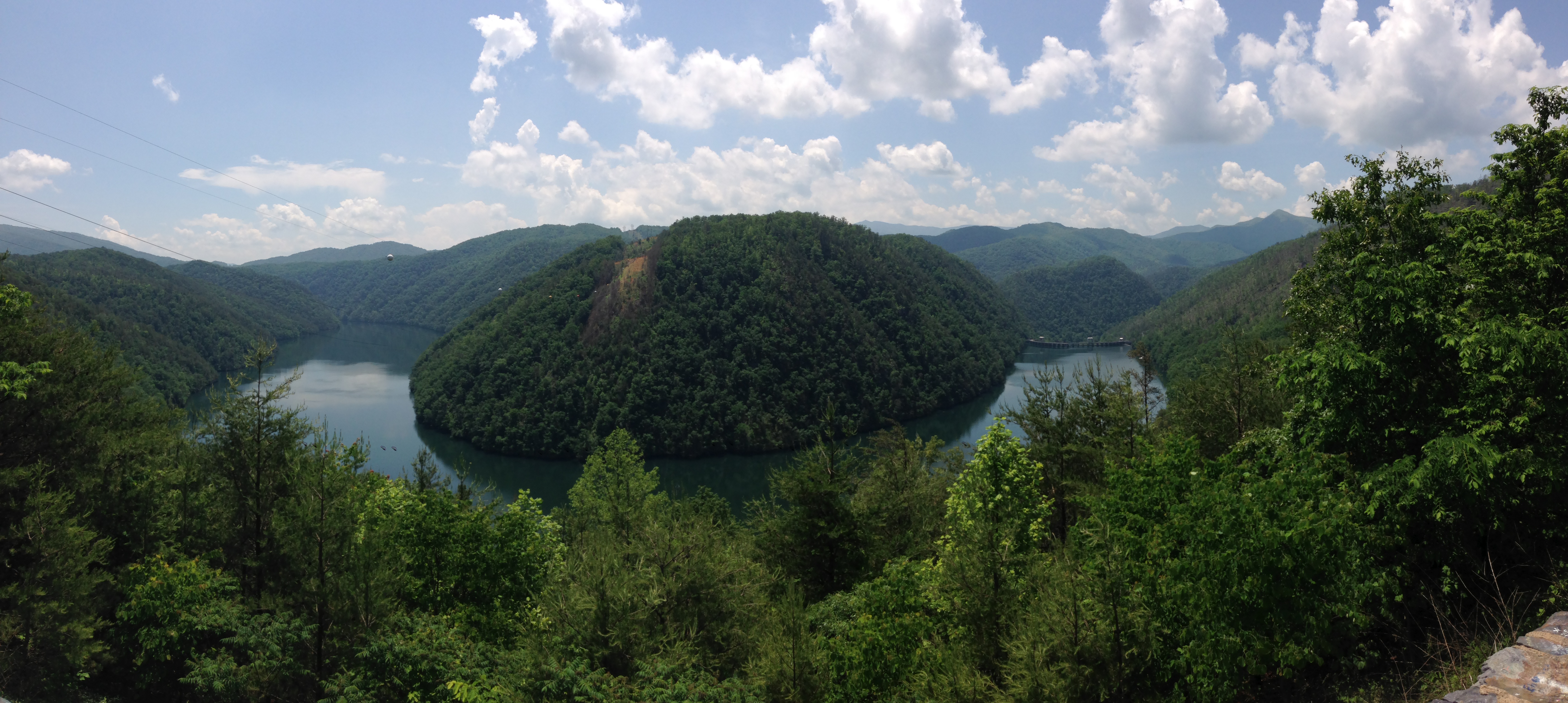
Blue Waters 2012
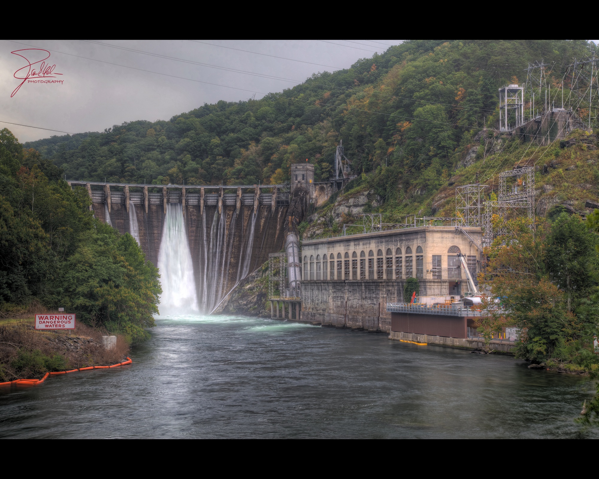
Cheoah Dam
140706-3151 Fontana Dam
GSMNP Backpack Day 6 - June 28, 2014 - Downstream of Fontana Dam
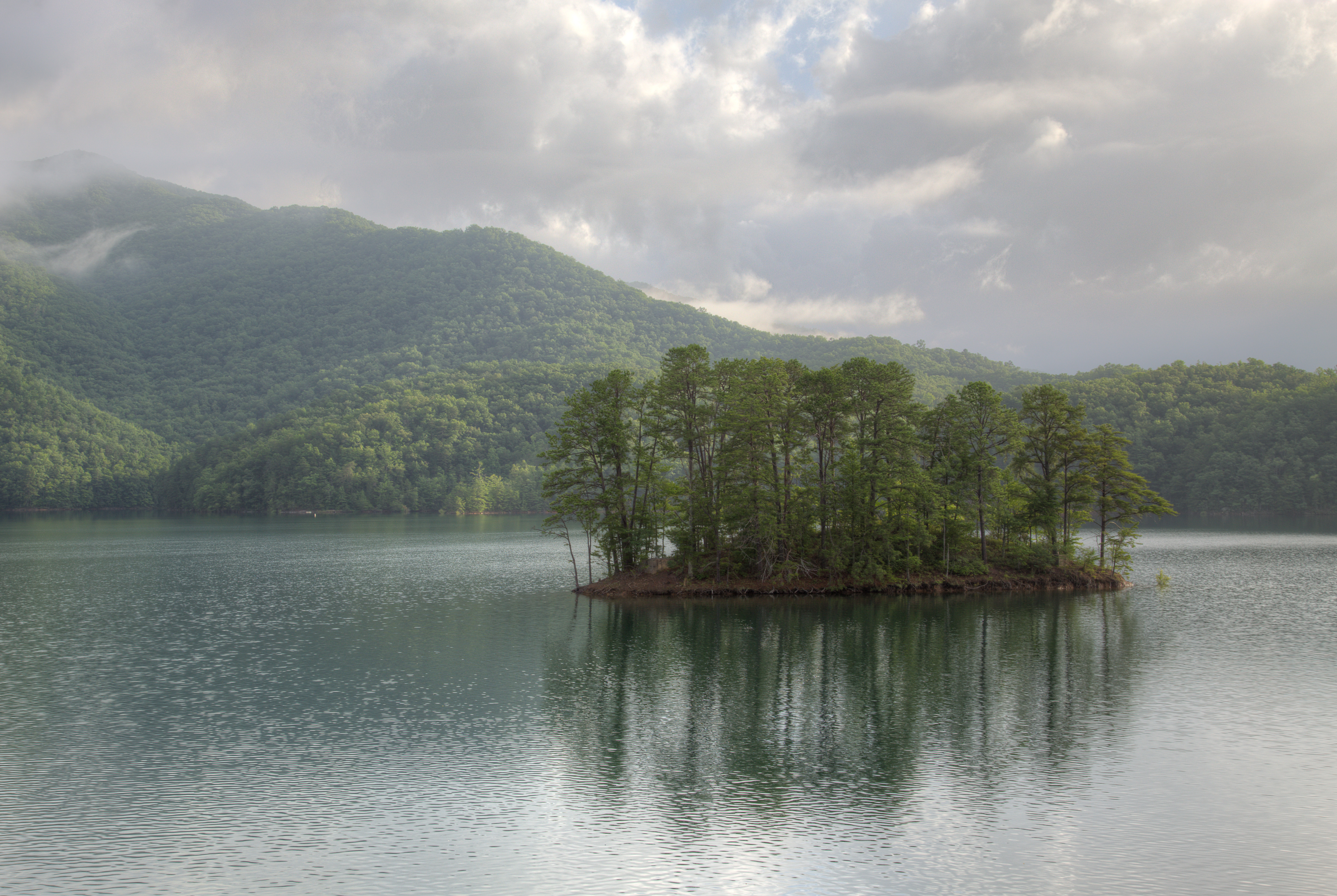
Fontana Dam Island
140706-3174 Fontana Lake
Obadiah Gap on the Cherohala Skyway

GSMNP Backpack Day 6 - June 28, 2014 - Panorama from Fontana Dam
Cherohala Skyway

Bridge over Citico Creek
Topographic Map of Yellow Creek, NC, USA
Find elevation by address:

Places in Yellow Creek, NC, USA:
Places near Yellow Creek, NC, USA:
Tapoco
1127 Meadow Branch Rd
4633 Santeetlah Rd
Snowbird Mountain Lodge
207 Deals Gap Rd
207 Deals Gap Rd
207 Deals Gap Rd
7 Deals Gap Rd
437 Deals Gap Rd
Deals Gap
1268 Blue Boar Rd
1283 Blue Boar Rd
Lake Santeetlah
224 Cochrans Cr Rd
3201 Yellow Creek Rd
3338 Yellow Creek Rd
915 Gladdens Creek Rd
Cochrans Creek
4152 Yellow Creek Rd
292 Pine Ridge Rd
Recent Searches:
- Elevation of Elwyn Dr, Roanoke Rapids, NC, USA
- Elevation of Congressional Dr, Stevensville, MD, USA
- Elevation of Bellview Rd, McLean, VA, USA
- Elevation of Stage Island Rd, Chatham, MA, USA
- Elevation of Shibuya Scramble Crossing, 21 Udagawacho, Shibuya City, Tokyo -, Japan
- Elevation of Jadagoniai, Kaunas District Municipality, Lithuania
- Elevation of Pagonija rock, Kranto 7-oji g. 8"N, Kaunas, Lithuania
- Elevation of Co Rd 87, Jamestown, CO, USA
- Elevation of Tenjo, Cundinamarca, Colombia
- Elevation of Côte-des-Neiges, Montreal, QC H4A 3J6, Canada