Elevation of Yazu District, Tottori Prefecture, Japan
Location: Japan > Tottori Prefecture >
Longitude: 134.363
Latitude: 35.311
Elevation: 913m / 2995feet
Barometric Pressure: 91KPa
Elevation Map:
Satellite Map:
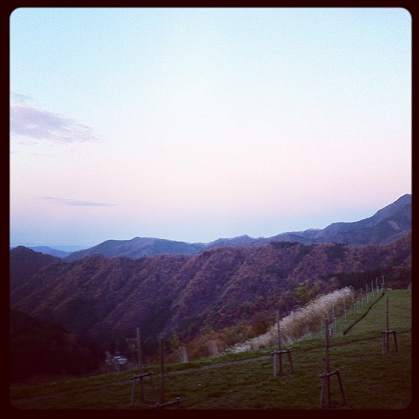
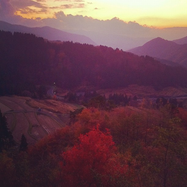
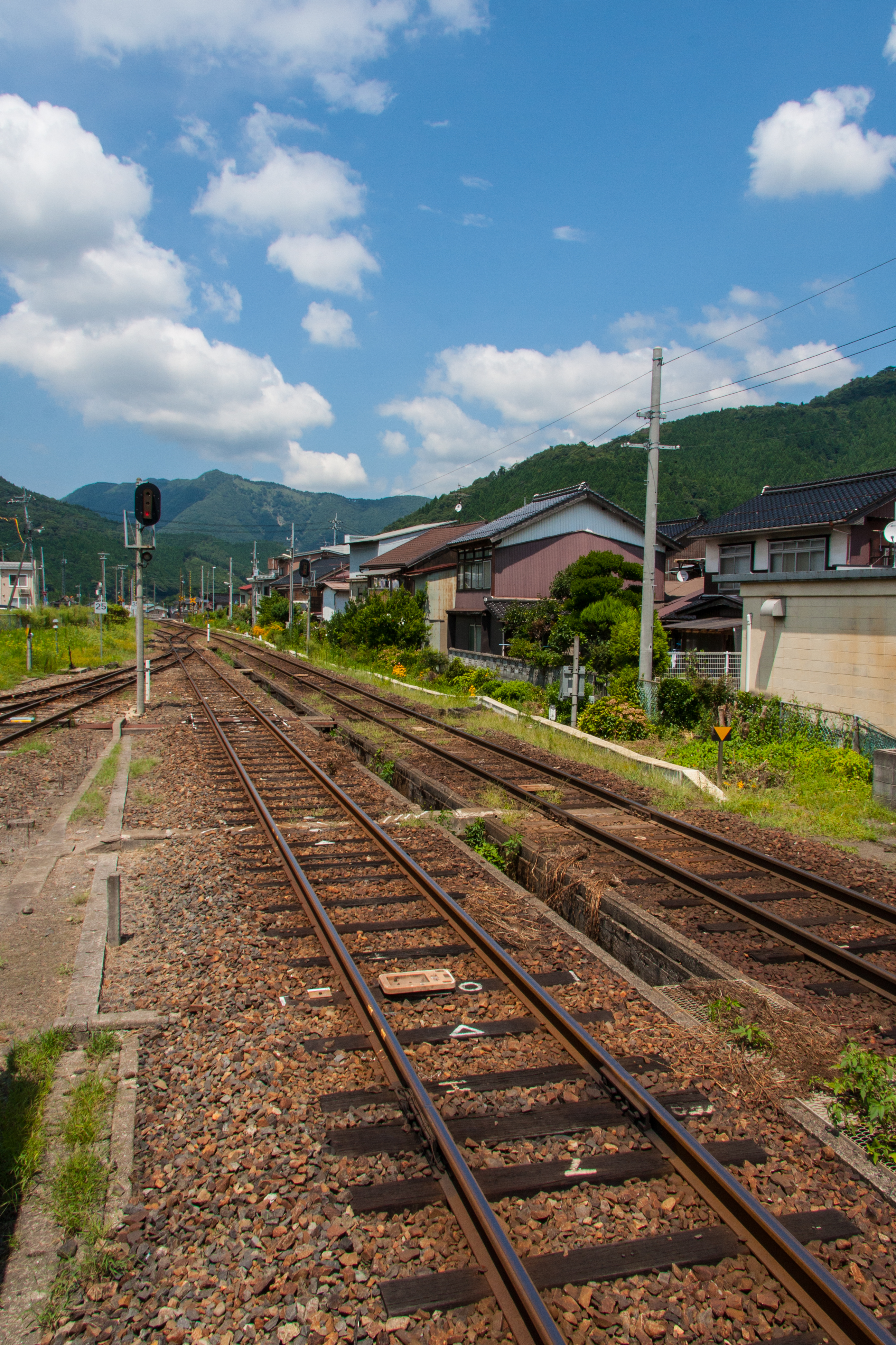
Related Photos:
おはようございます。
お疲れ様…

Cascade splashes#02

Cascade splashes#01
quality of life

Sky & Sea
20120817-InbiLine-10

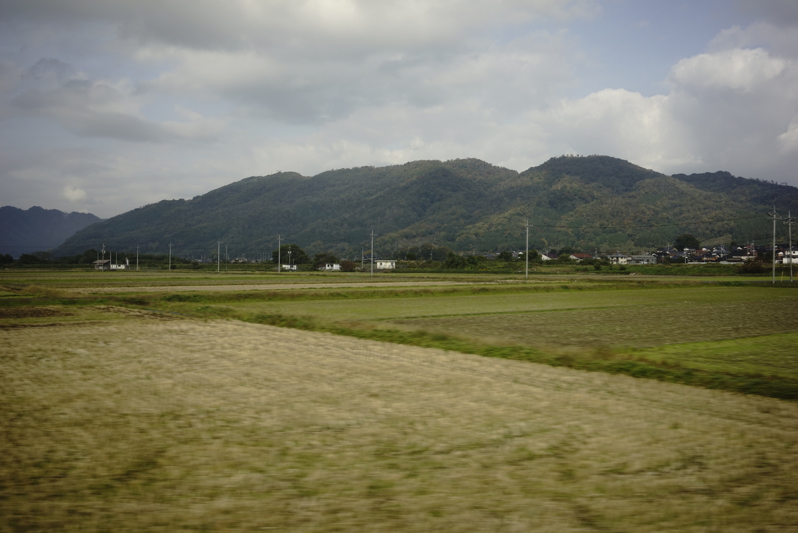
特急スーパーはくと1号
特急スーパーはくと1号

廃校のプールではカモのほかに、ウナギ、小魚、サワガニを育てているそうです。いいなぁニシアワー。

智頭急行

特急スーパーはくと1号
Topographic Map of Yazu District, Tottori Prefecture, Japan
Find elevation by address:

Places in Yazu District, Tottori Prefecture, Japan:
Places near Yazu District, Tottori Prefecture, Japan:
Kakihara, Yazu-chō, Yazu-gun, Tottori-ken -, Japan
Wakasa
Ashizu, Chizu-chō, Yazu-gun, Tottori-ken -, Japan
86 Nagasuna, Wakasa-chō, Yazu-gun, Tottori-ken -, Japan
Ōro, Chizu-chō, Yazu-gun, Tottori-ken -, Japan
Ōchi, Chizu-chō, Yazu-gun, Tottori-ken -, Japan
75 Komagaeri, Chizu-chō, Yazu-gun, Tottori-ken -, Japan
44 Fukuwara, Chizu-chō, Yazu-gun, Tottori-ken -, Japan
61 Omi, Chizu-chō, Yazu-gun, Tottori-ken -, Japan
17 Gōbara, Chizu-chō, Yazu-gun, Tottori-ken -, Japan
Shinozaka, Chizu-chō, Yazu-gun, Tottori-ken -, Japan
Kageishi, Nishiawakura-son, Aida-gun, Okayama-ken -, Japan
Nishidani, Chizu-chō, Yazu-gun, Tottori-ken -, Japan
-38 Minamigata, Chizu-chō, Yazu-gun, Tottori-ken -, Japan
Honomi, Chizu-chō, Yazu-gun, Tottori-ken -, Japan
Nishiawakura
Ichinose, Chizu-chō, Yazu-gun, Tottori-ken -, Japan
Chizu
Aida District
Mita, Chizu-chō, Yazu-gun, Tottori-ken -, Japan
Recent Searches:
- Elevation of Luther Road, Luther Rd, Auburn, CA, USA
- Elevation of Unnamed Road, Respublika Severnaya Osetiya — Alaniya, Russia
- Elevation of Verkhny Fiagdon, North Ossetia–Alania Republic, Russia
- Elevation of F. Viola Hiway, San Rafael, Bulacan, Philippines
- Elevation of Herbage Dr, Gulfport, MS, USA
- Elevation of Lilac Cir, Haldimand, ON N3W 2G9, Canada
- Elevation of Harrod Branch Road, Harrod Branch Rd, Kentucky, USA
- Elevation of Wyndham Grand Barbados Sam Lords Castle All Inclusive Resort, End of Belair Road, Long Bay, Bridgetown Barbados
- Elevation of Iga Trl, Maggie Valley, NC, USA
- Elevation of N Co Rd 31D, Loveland, CO, USA