Elevation of Yarker, ON K0H, Canada
Location: Canada > Ontario > Lennox And Addington County > Stone Mills >
Longitude: -76.770275
Latitude: 44.371583
Elevation: 135m / 443feet
Barometric Pressure: 100KPa
Elevation Map:
Satellite Map:
Related Photos:

Odessa — 120 Years

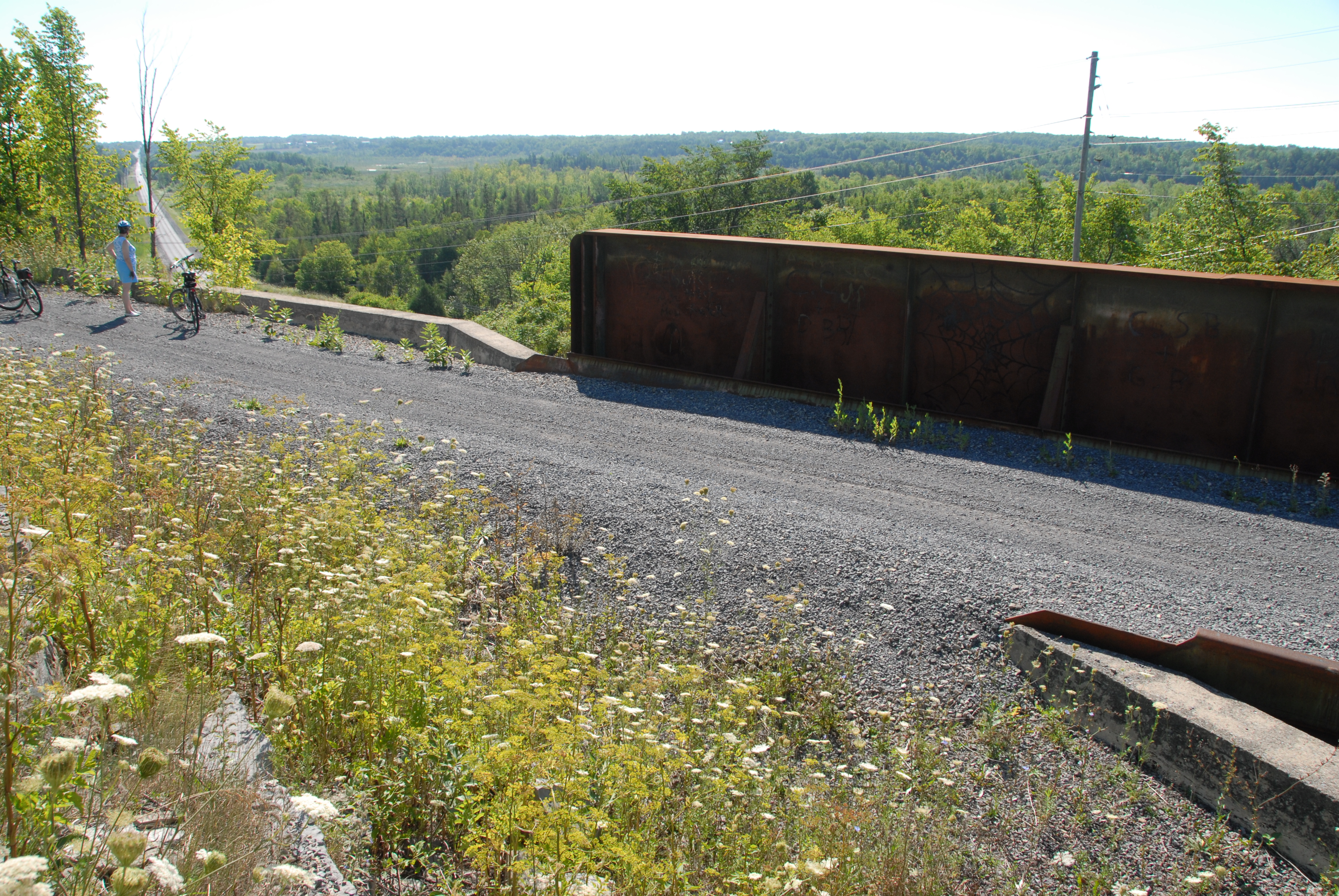
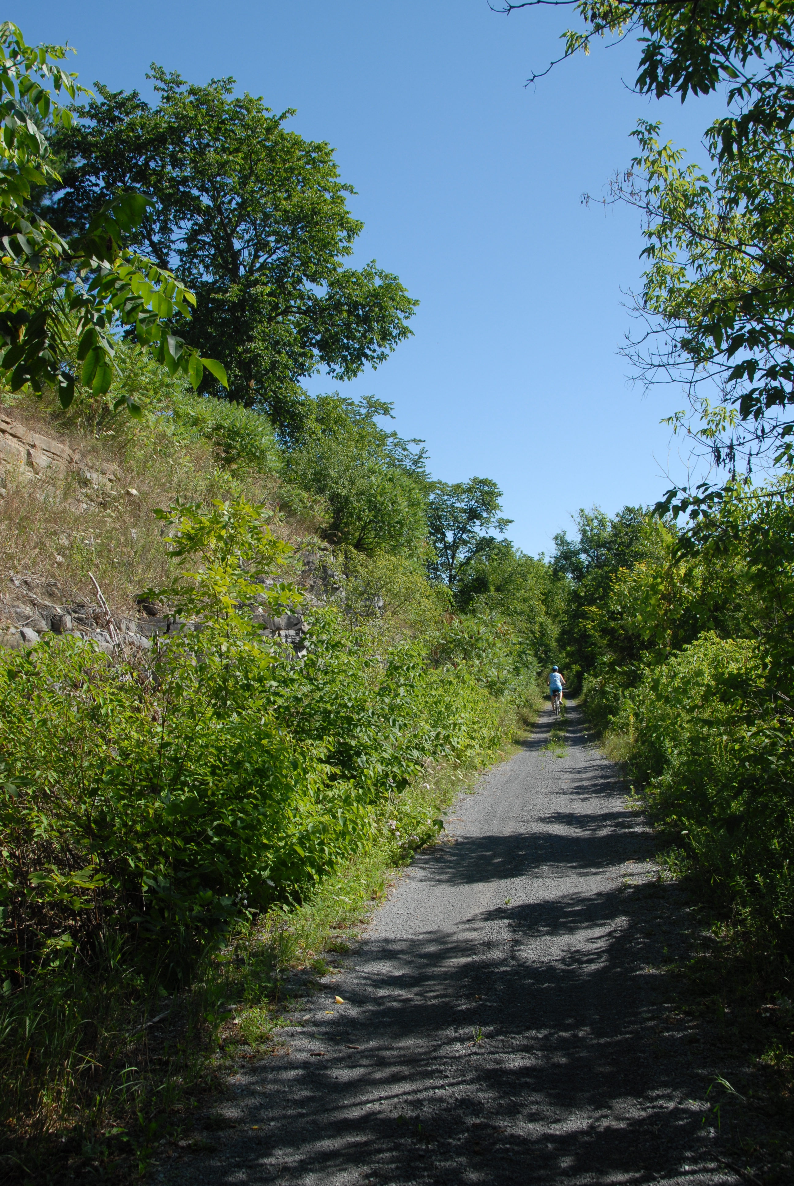
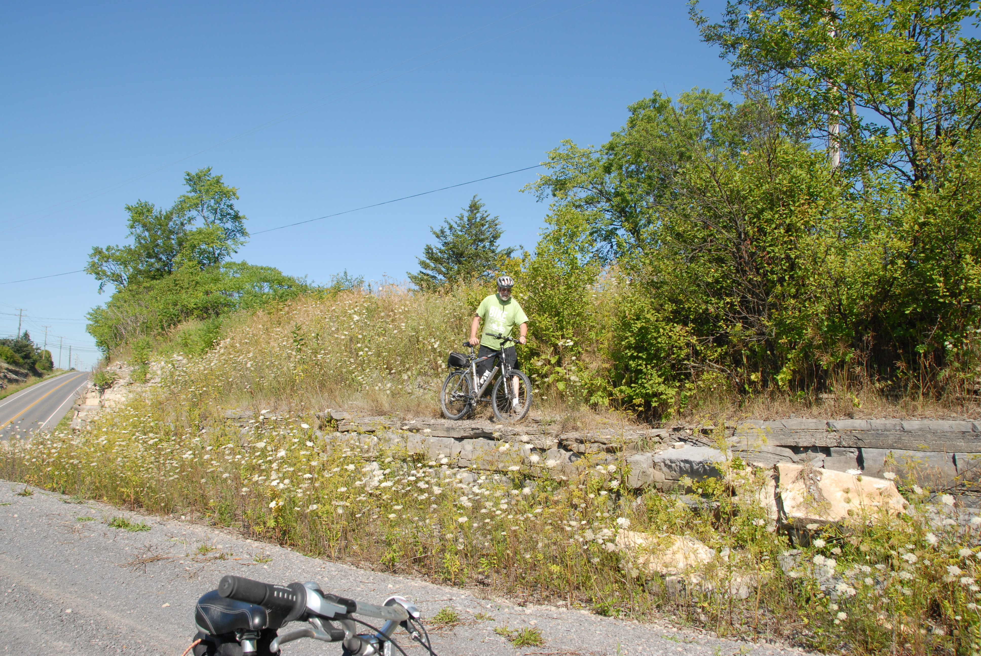
DSC_4697 Cataraqui Trail - Yarker
HMR2-09-35d
HMR2-09-35a
HMR2-09-35b
HMR2-09-35c
DSD_6786 View SW'ly along the Cataraqui Trail overpass over Harrowsmith Road
DSD_6841 Cataraqui Trail passing through Sydenham, Ontario
DSD_6787 View easterly across the Cataraqui Trail along Harrowsmith Road
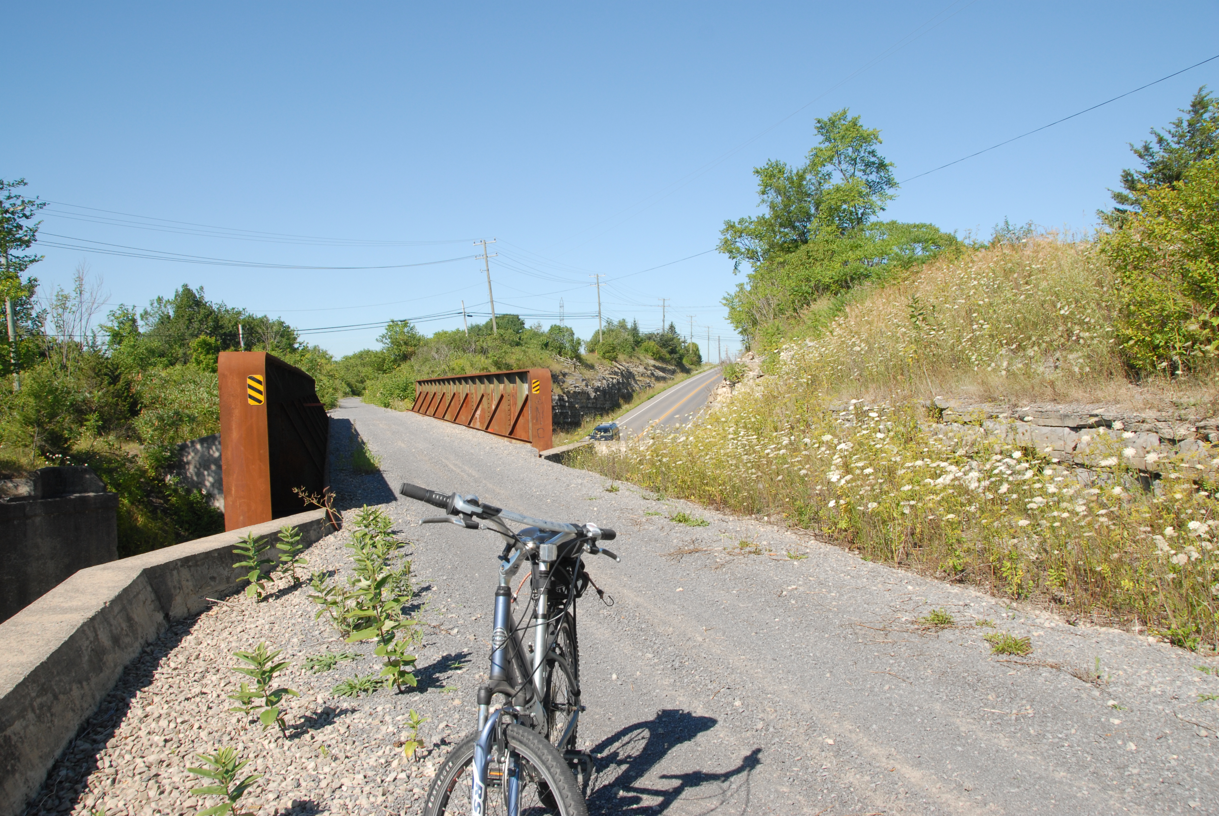
DSC_4696 Cataraqui Trail - Yarker
Babcock Mill Odessa, Ontario
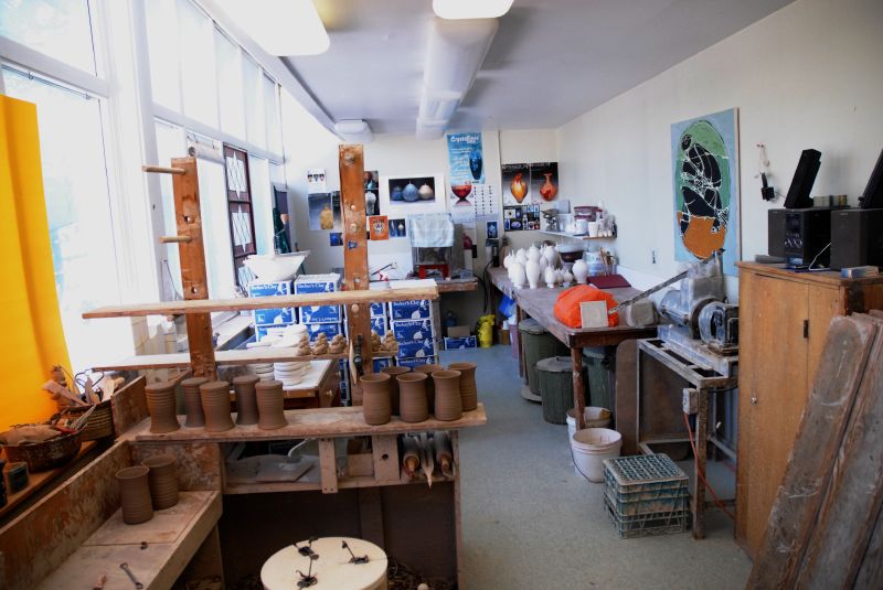
Inside view of Wilton Pottery
DSD_6793 View NE'ly along the Cataraqui Trail between Harrowsmith and Sydenham

DSD_6794 Cataraqui Trail near Harrowsmith, ON
Waterfall Tea Room
DSD_2859 Varty Creek
DSD_6784 Descending from Wilson Road West to the Cataraqui Trail
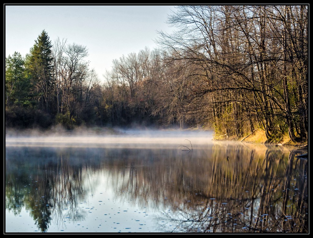
Morning fog over Napanee river...
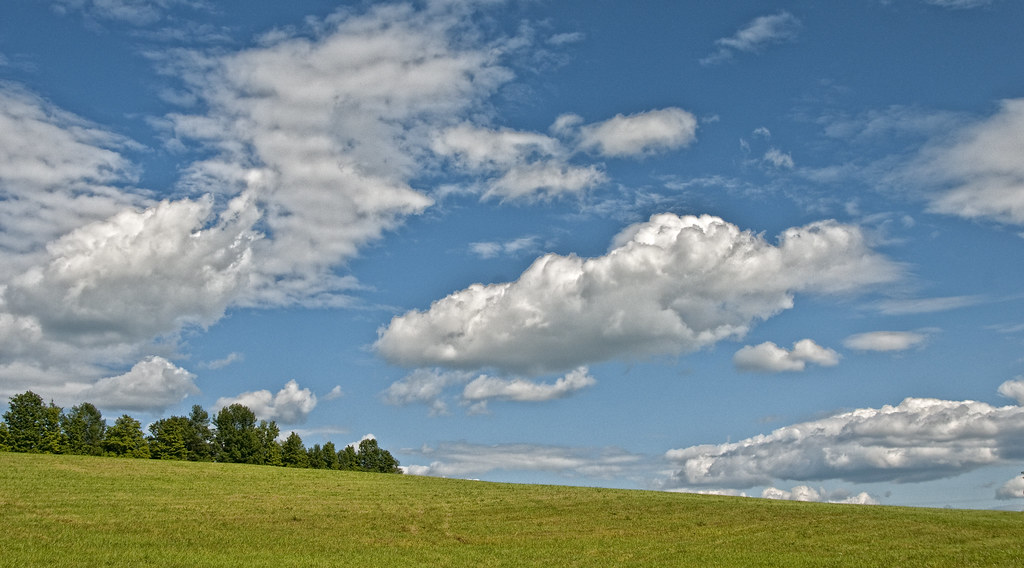
Sky & Meadow
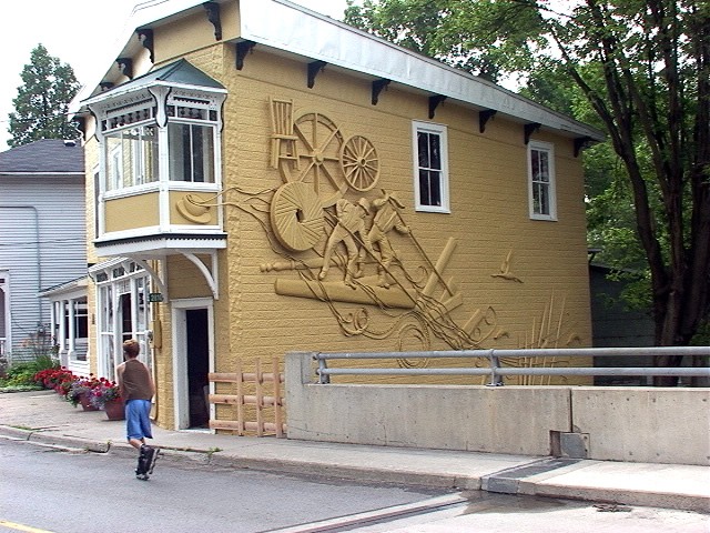
Colebrook, Ontario

sky on fire 2 #sunset

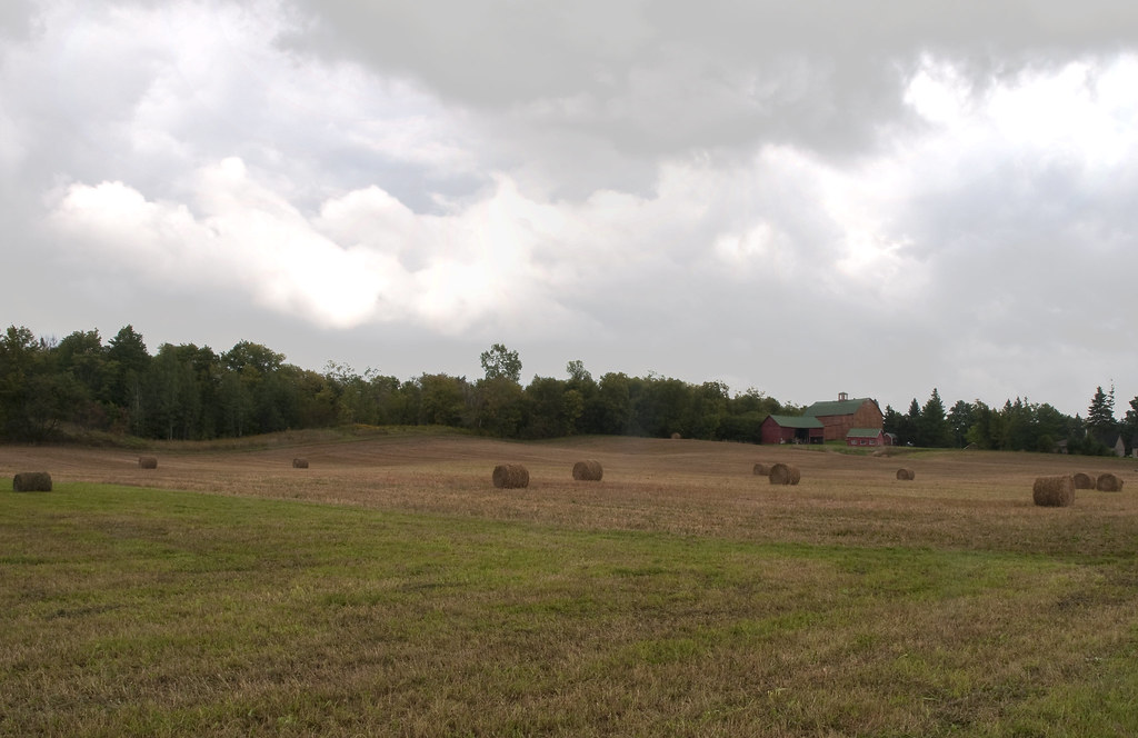
Hay Rolled up in Field
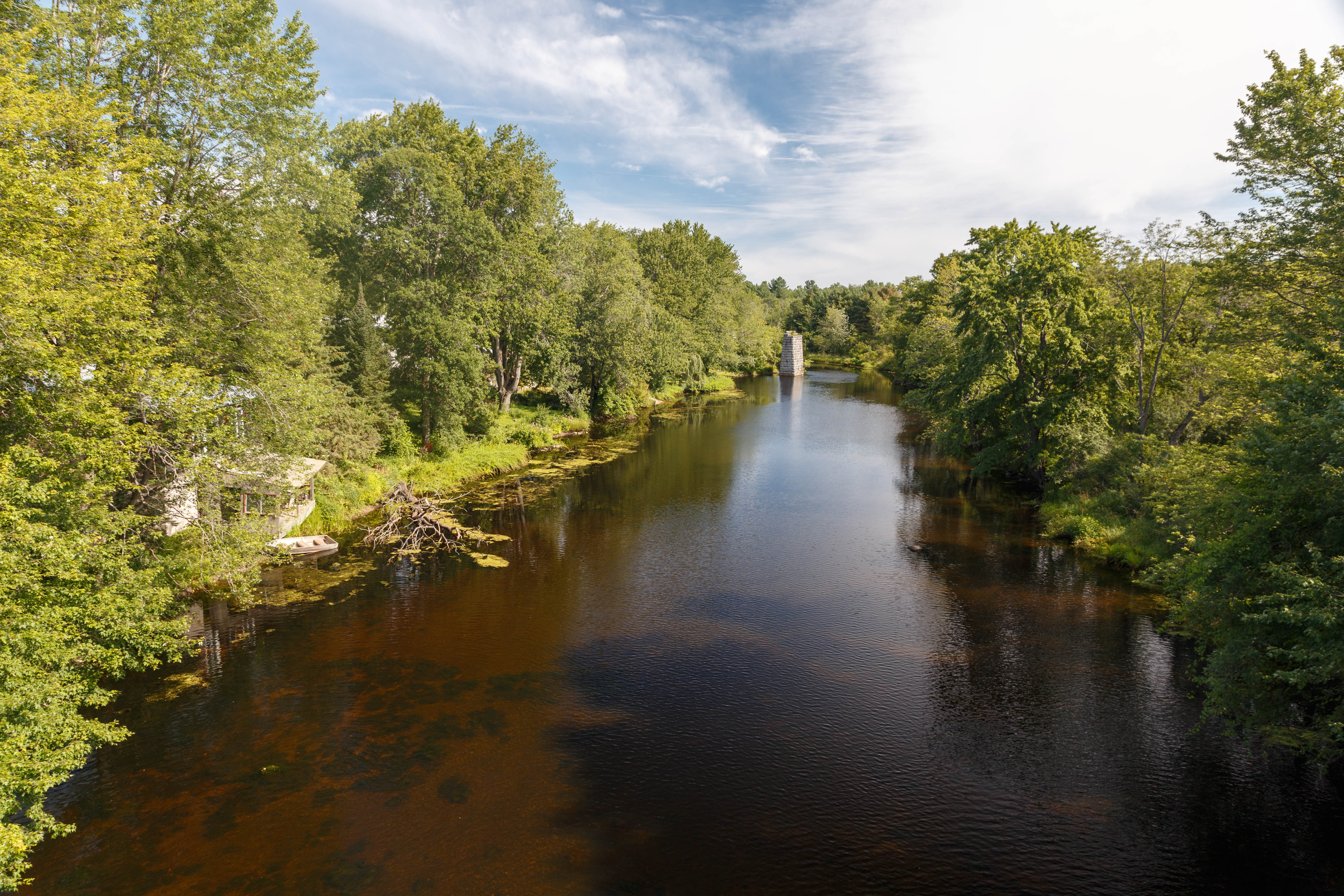
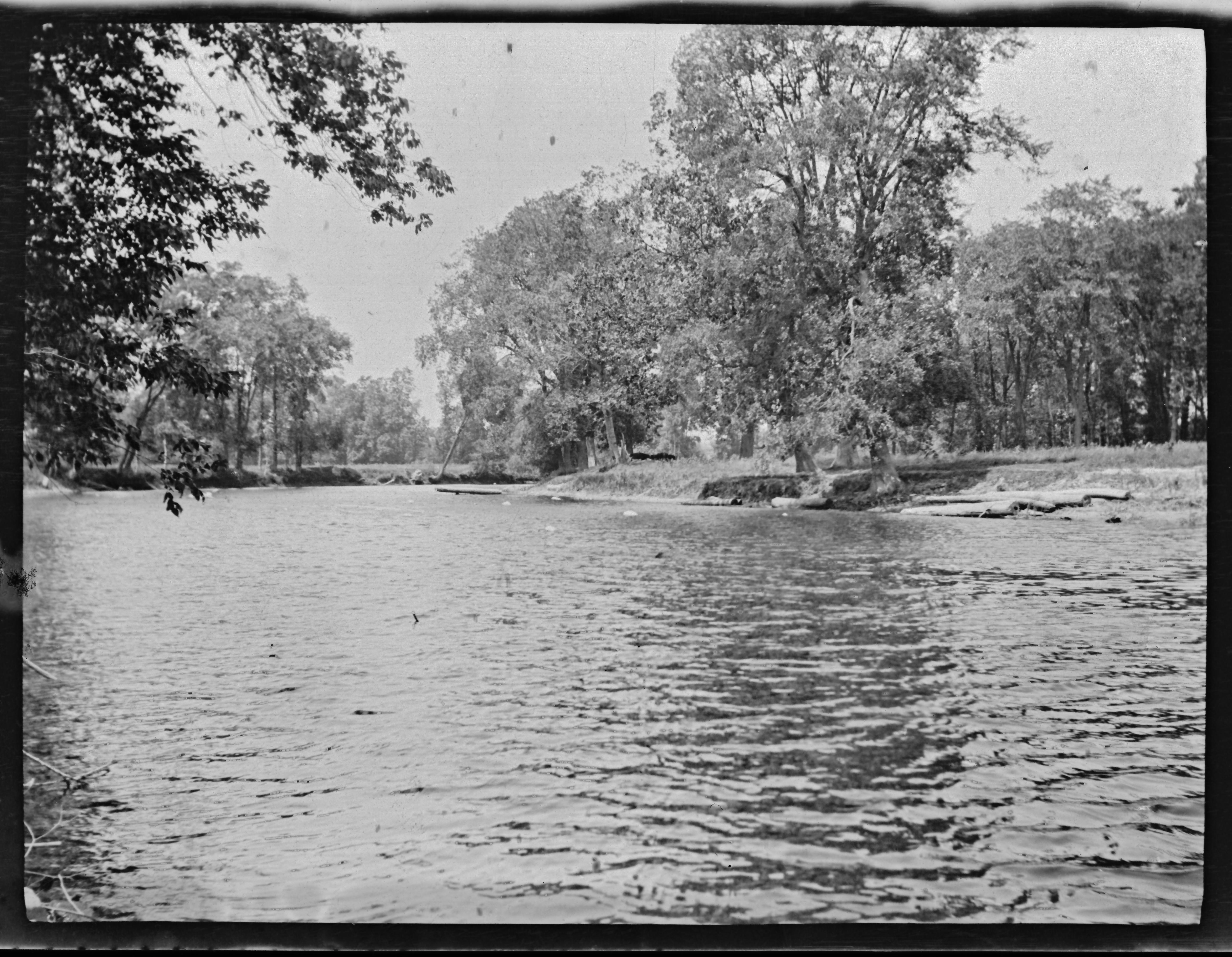
The Napanee River
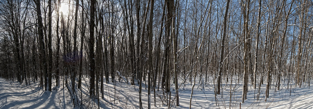
The Woods
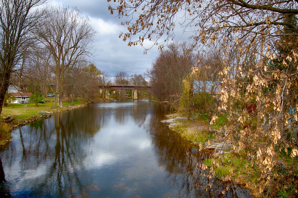
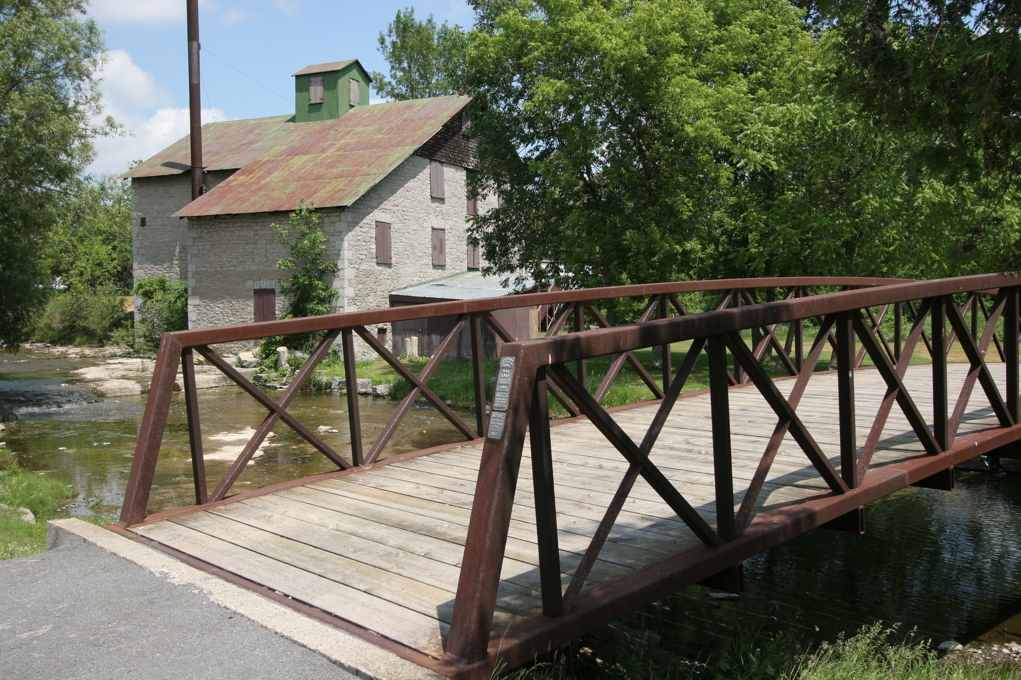
Yarker, Ontario

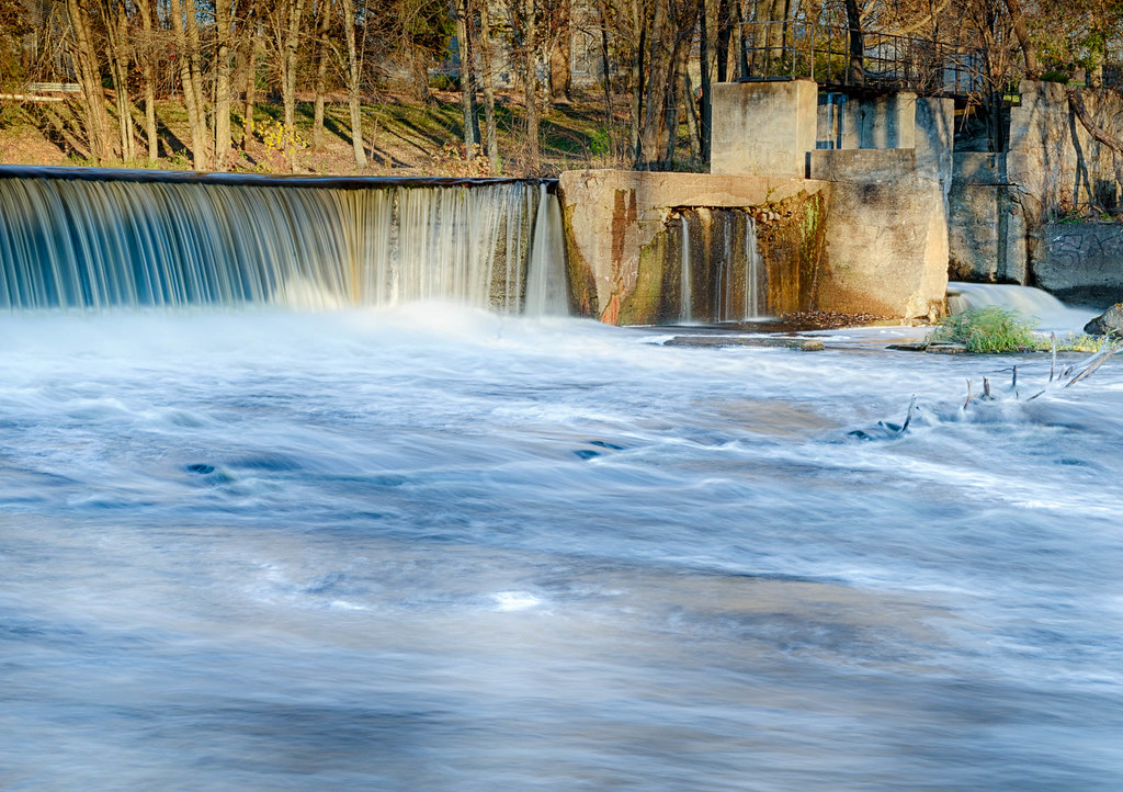
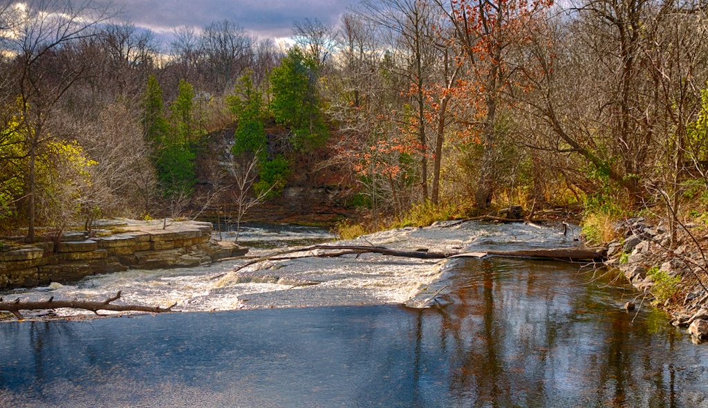
Yarker Falls

Napanee River
Napanee Valley Farm
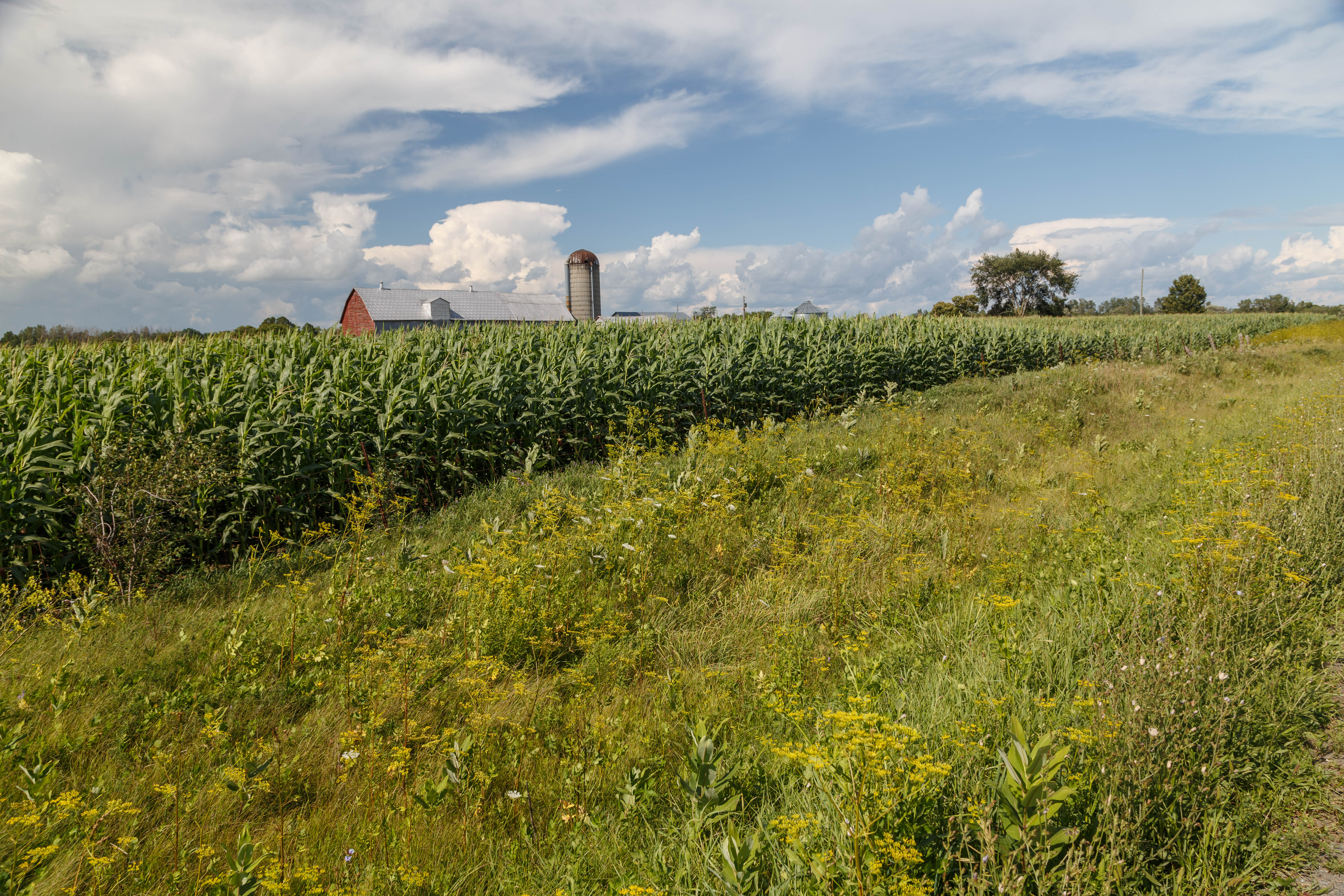
Farmer's Field
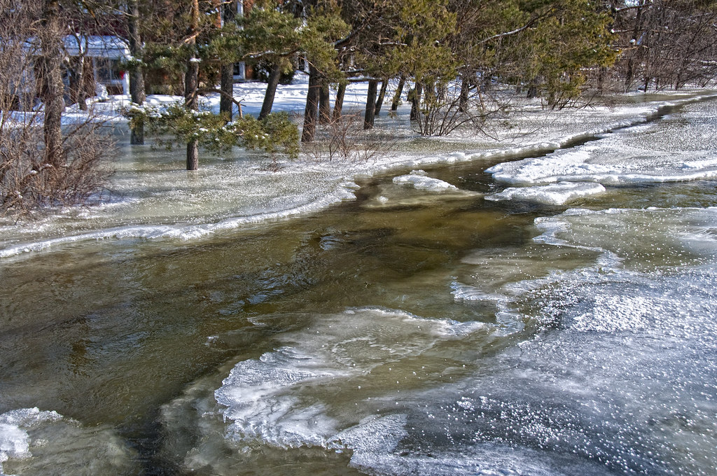
Flooded Lawn & Trees
Another Pimple on the Landscape
The Sky Over Camden Lake Just After Sunset
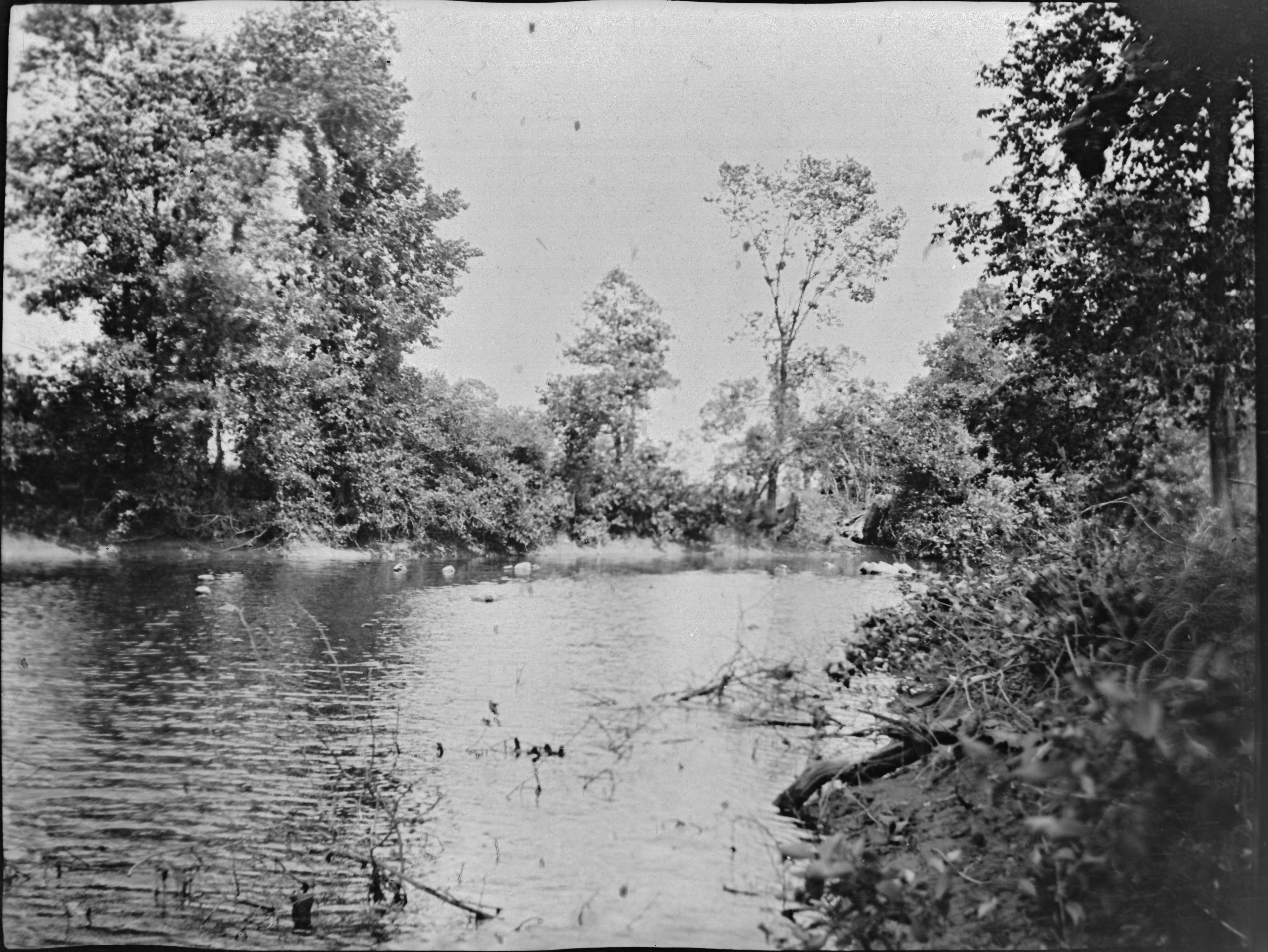
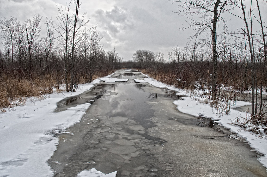
Millhaven Creek
Flooding Fields
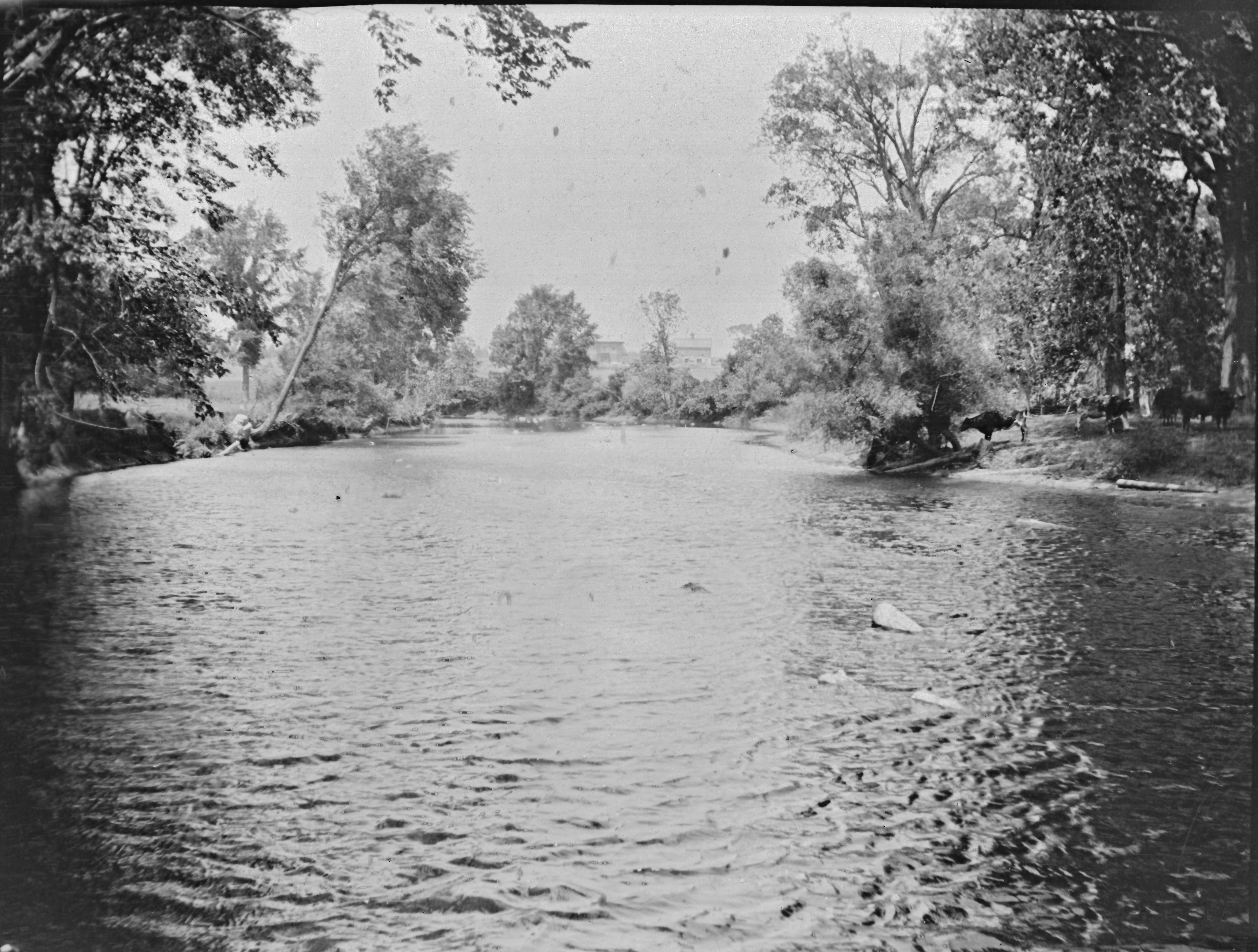
Napanee River

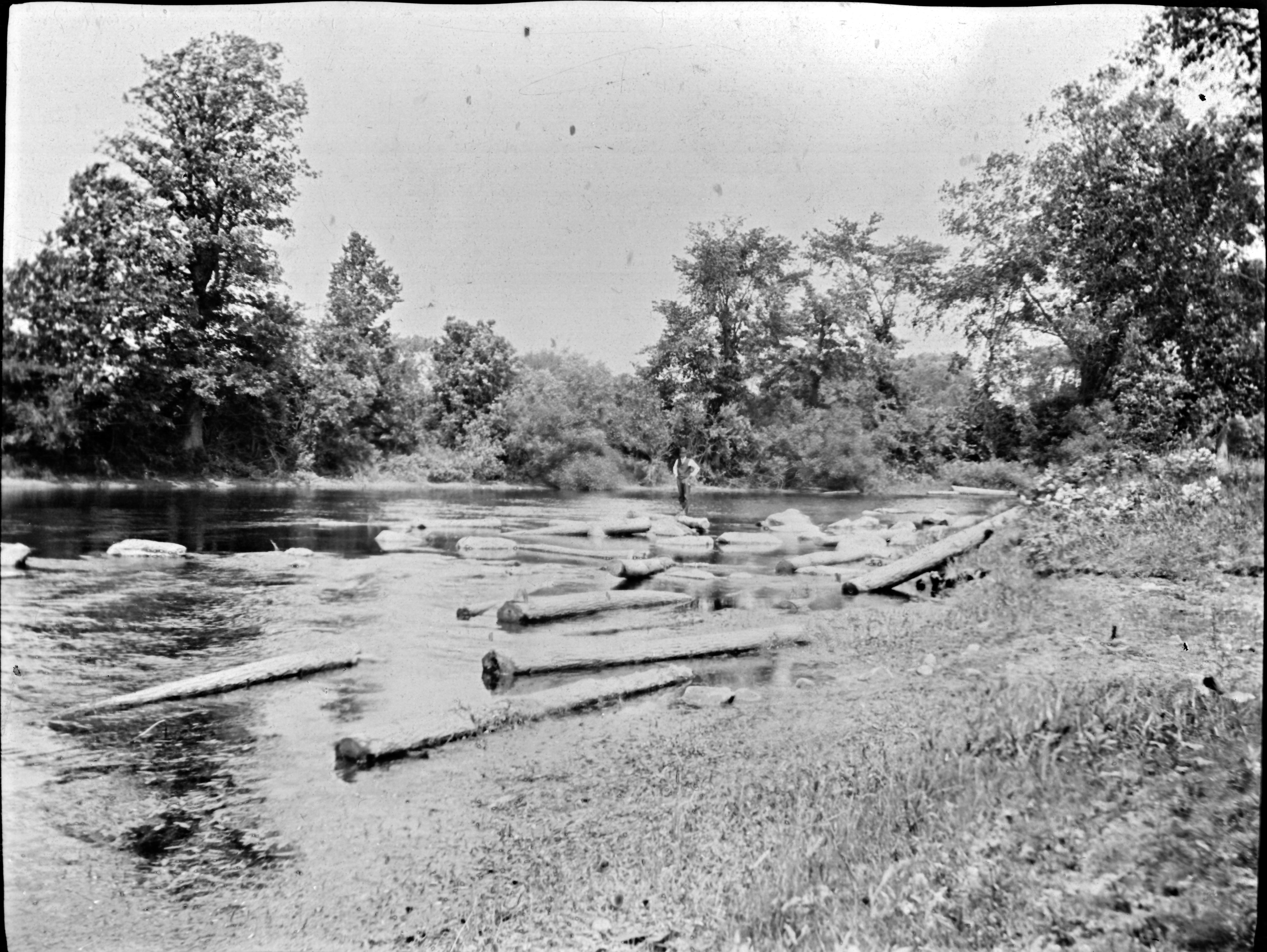
Millhaven Creek
Yarker, Ontario
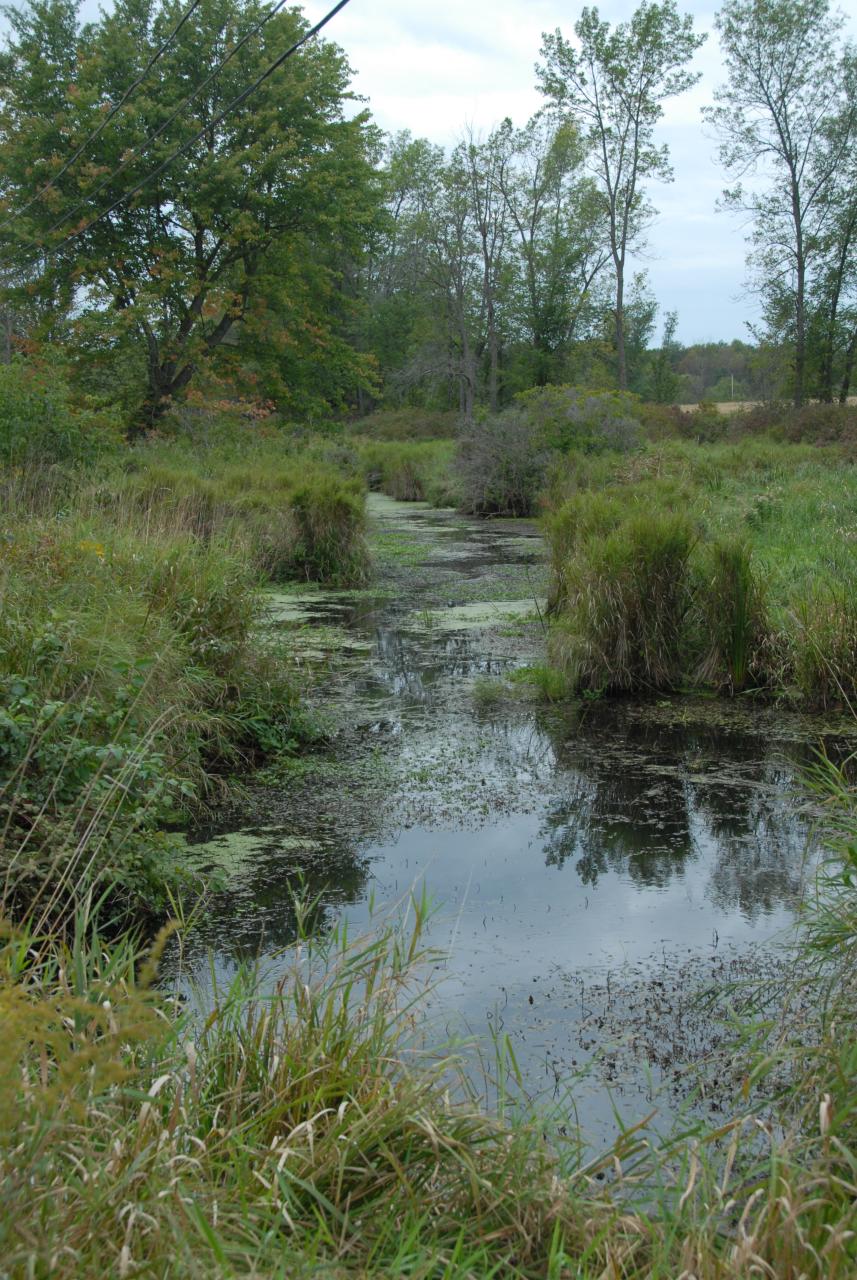
Long Swamp Road crossing Cameron Bog
Topographic Map of Yarker, ON K0H, Canada
Find elevation by address:

Places in Yarker, ON K0H, Canada:
Places near Yarker, ON K0H, Canada:
206 Colebrook Rd
Colebrook Rd, Yarker, ON K0K 3N0, Canada
1199 Bethel Rd
2176 6
213 Percy Rd
Mcconnell Road
3506 Mcconnell Rd
Bellrock Rd, Verona, ON K0H 2W0, Canada
127 Saul St
Odessa
Harrowsmith
Unity Rd, Odessa, ON K0H 2H0, Canada
Newburgh
Loyalist
Lennox And Addington County
Sand Rd, Verona, ON K0H 2W0, Canada
2, Loyalist, ON K7R 3K6, Canada
Enterprise
1852 Centreville Rd
Little Mud Lake
Recent Searches:
- Elevation of Lampiasi St, Sarasota, FL, USA
- Elevation of Elwyn Dr, Roanoke Rapids, NC, USA
- Elevation of Congressional Dr, Stevensville, MD, USA
- Elevation of Bellview Rd, McLean, VA, USA
- Elevation of Stage Island Rd, Chatham, MA, USA
- Elevation of Shibuya Scramble Crossing, 21 Udagawacho, Shibuya City, Tokyo -, Japan
- Elevation of Jadagoniai, Kaunas District Municipality, Lithuania
- Elevation of Pagonija rock, Kranto 7-oji g. 8"N, Kaunas, Lithuania
- Elevation of Co Rd 87, Jamestown, CO, USA
- Elevation of Tenjo, Cundinamarca, Colombia