Elevation of Yanshui District, Tainan City, Taiwan
Location: Taiwan > Tainan City >
Longitude: 120.239733
Latitude: 23.2622306
Elevation: 4m / 13feet
Barometric Pressure: 101KPa
Elevation Map:
Satellite Map:
Related Photos:
20141217-DSC03760
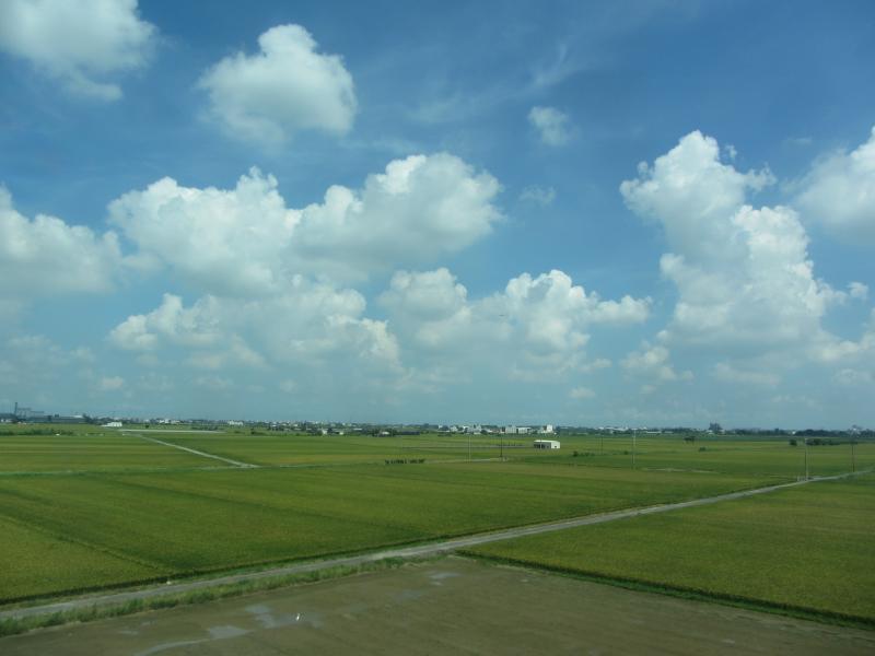
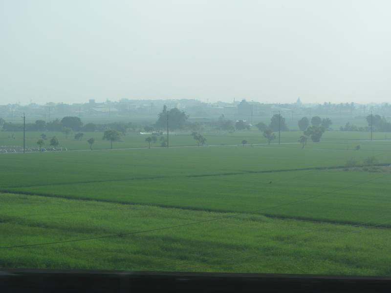
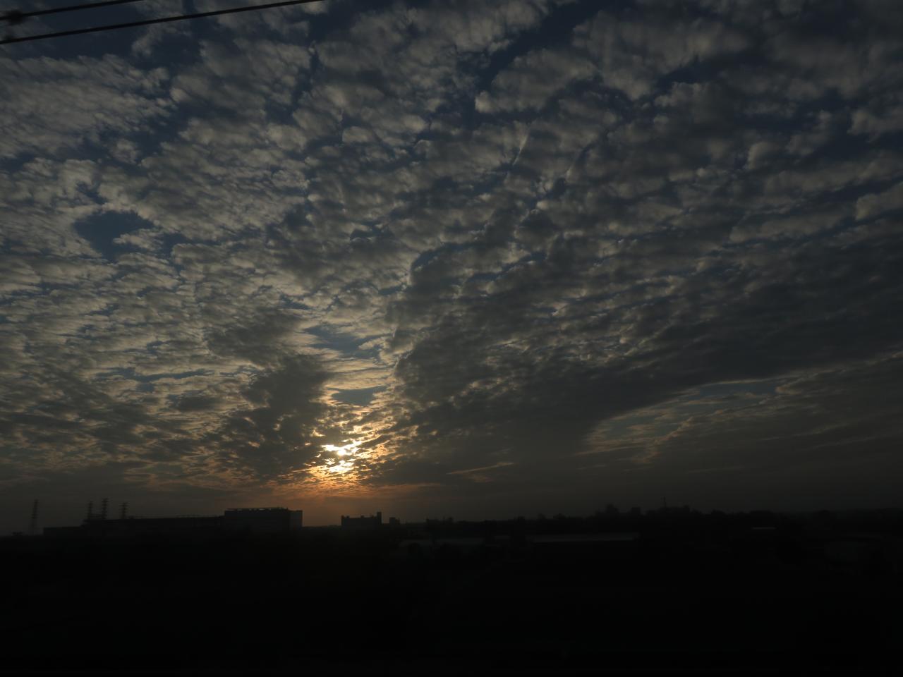
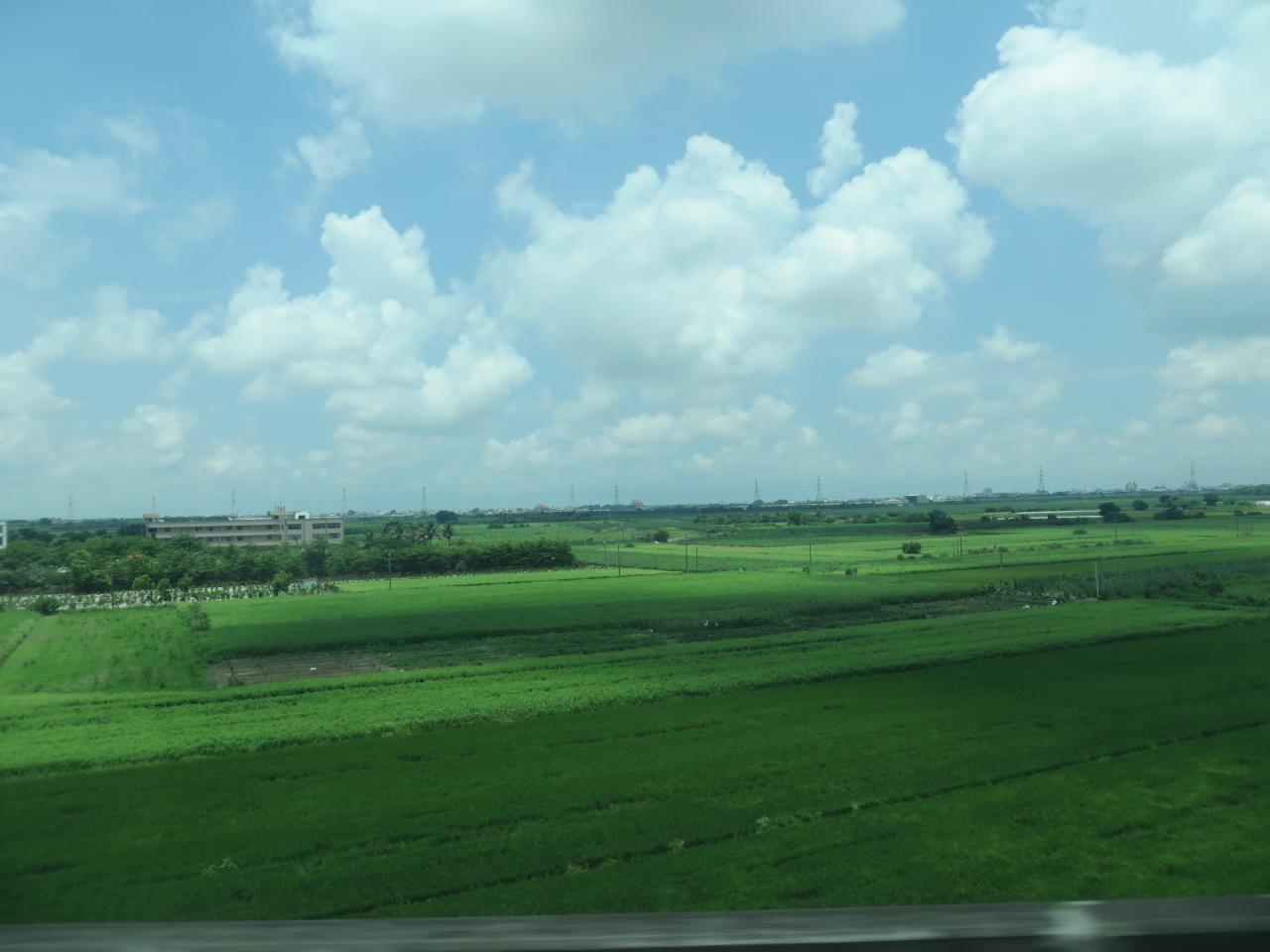
View From THSR Window

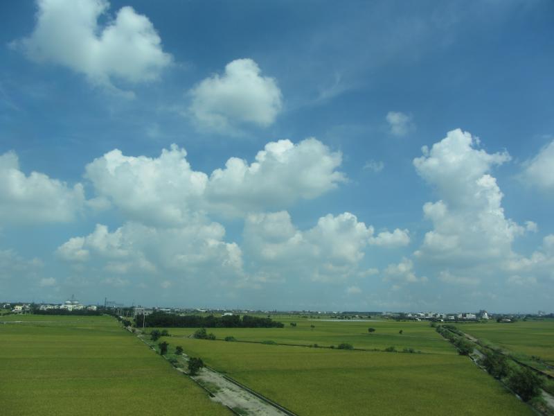
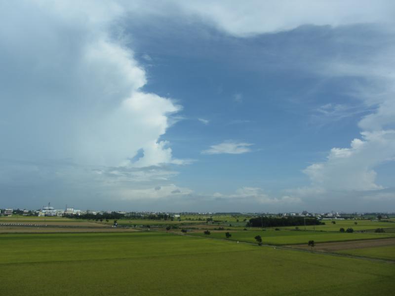
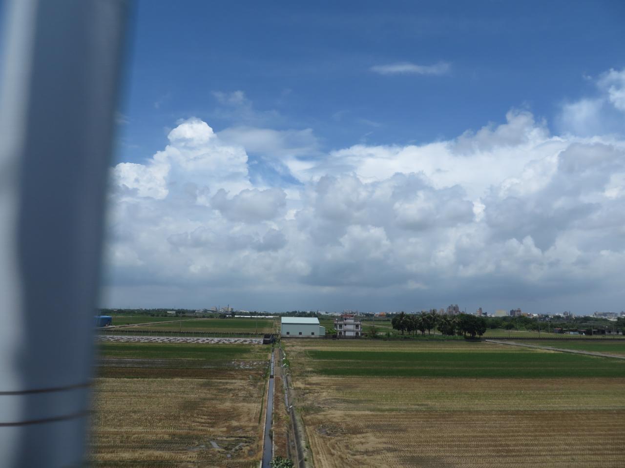
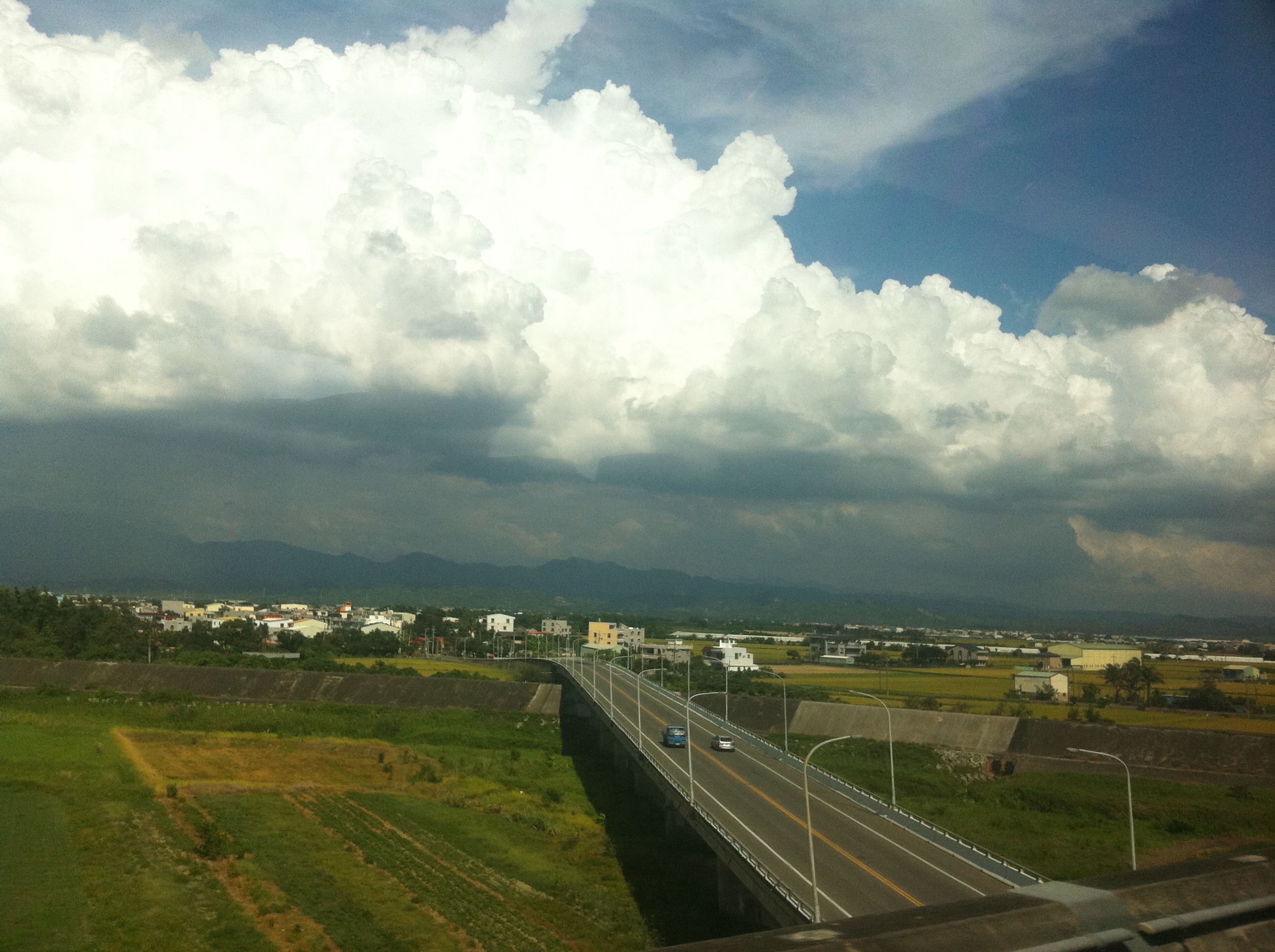
View From THSR Window
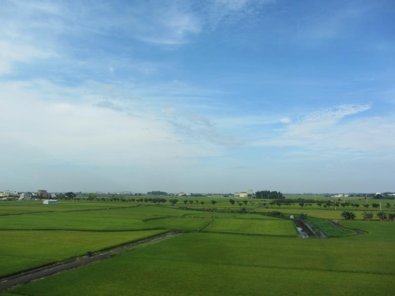
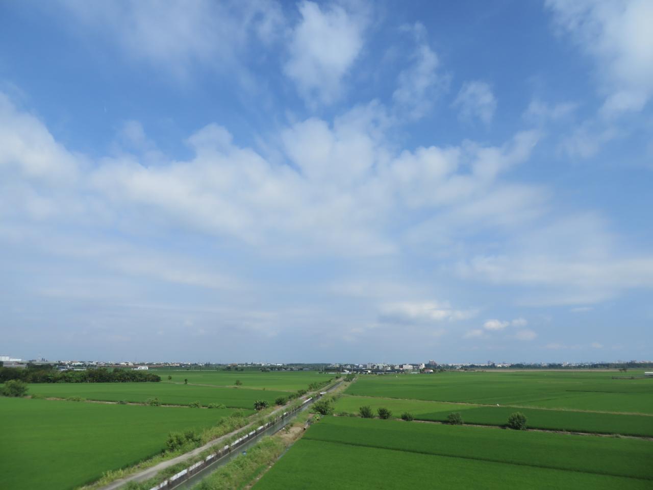
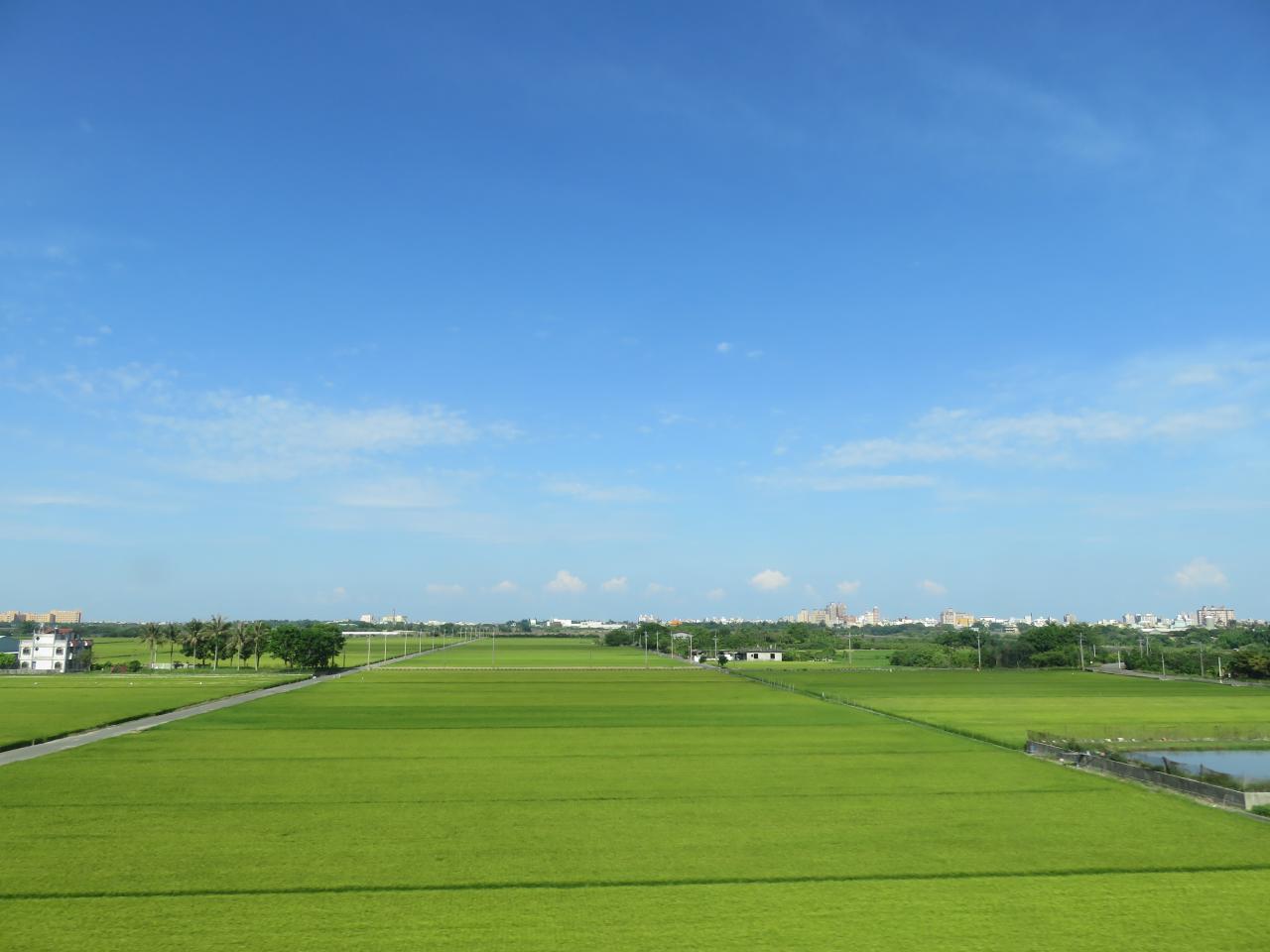
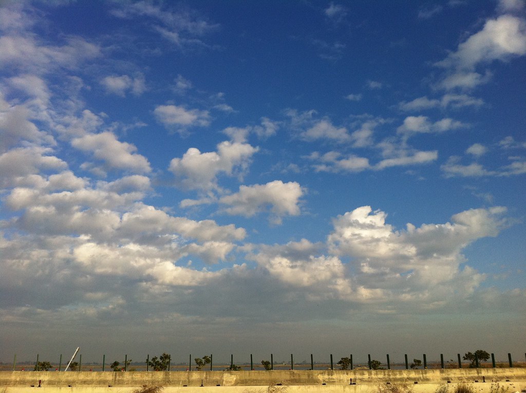
View From THSR Window
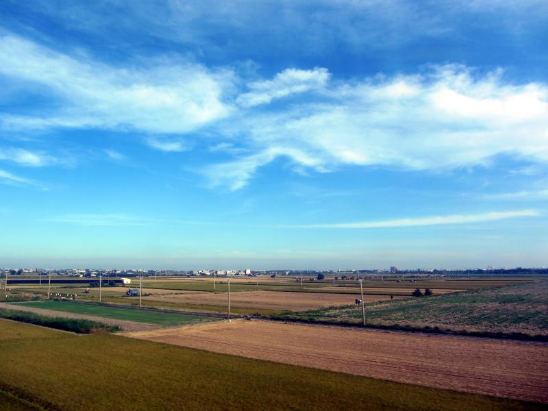
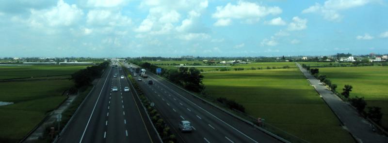
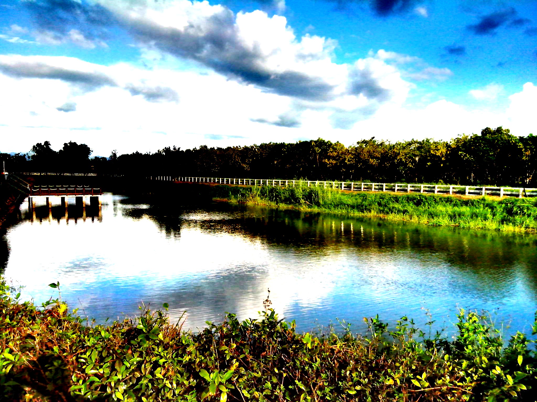
View From THSR Window
View From THSR Window
View From THSR Window

View From THSR Window

View From THSR Window

View From THSR Window
View From THSR Window
View From THSR Window
View From THSR Window
View From THSR Window

View From THSR Window

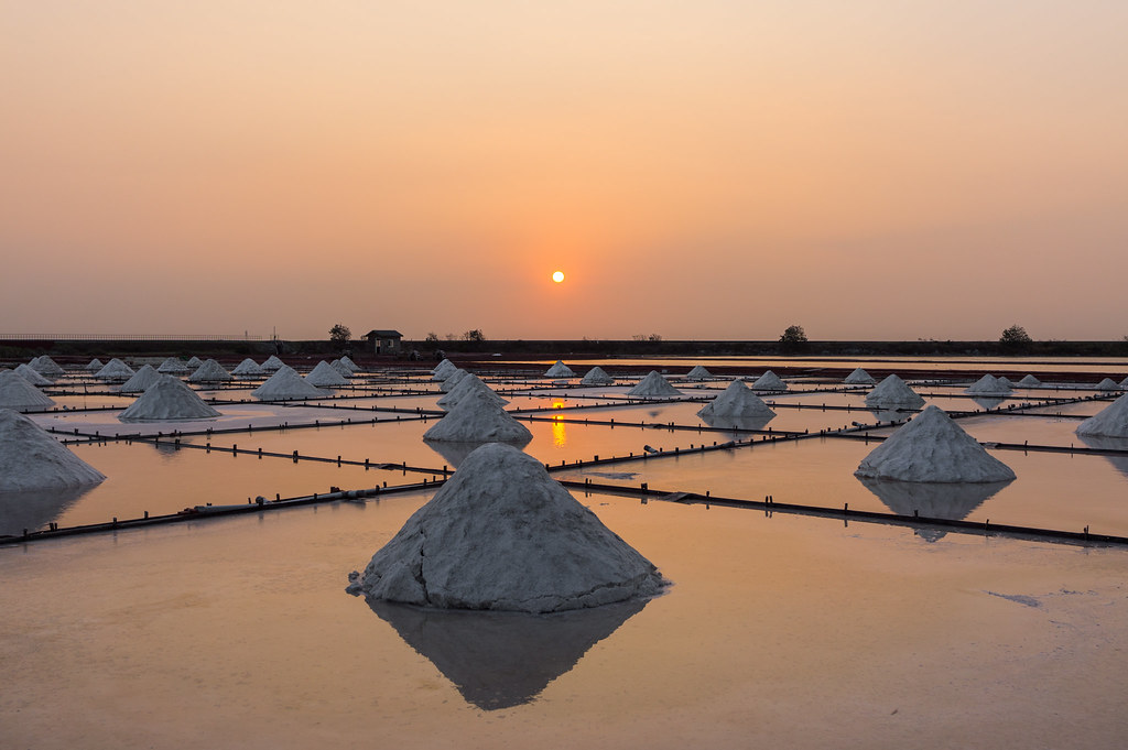
井仔腳小霞光 Jingzaijiao / Tainan, Taiwan

View From THSR Window
View From THSR Window
View From THSR Window
View From THSR Window

View From THSR Window

嘉義布袋

夏季雲

IMG_3527-1

北門井仔腳蚵架

台南北門蚵架
6-12-2011 15-11-00
嘉義布袋
20140623柳營荷蘭村
#夕陽#黄昏#城市#新營#台南#台灣 #sunset#city#xinying#tainan#taiwan 捕捉夕陽
嘉義布袋
Check This Out On The Road Clouds And Sky Rural Landscape Sunset

嘉義布袋

IMAG0221-1

麥香。

微笑319

微笑319
Topographic Map of Yanshui District, Tainan City, Taiwan
Find elevation by address:

Places in Yanshui District, Tainan City, Taiwan:
Places near Yanshui District, Tainan City, Taiwan:
姑爺里
Taiwan, Tainan City, Yanshui District, 16
倒茄苳
Taiwan, Tainan City, Xinying District, 南73鄉道47號
歡雅里
桐寮里
43-1
五興里
五間厝
Taiwan, Tainan City, Xinying District, 61
後宅里
Xiaying District
Taiwan, Tainan City, Xiaying District, 南69鄉道45號
45-2
後寮
太北里
10-3
賀建里
西連里
八翁里
Recent Searches:
- Elevation of Unnamed Road, Respublika Severnaya Osetiya — Alaniya, Russia
- Elevation of Verkhny Fiagdon, North Ossetia–Alania Republic, Russia
- Elevation of F. Viola Hiway, San Rafael, Bulacan, Philippines
- Elevation of Herbage Dr, Gulfport, MS, USA
- Elevation of Lilac Cir, Haldimand, ON N3W 2G9, Canada
- Elevation of Harrod Branch Road, Harrod Branch Rd, Kentucky, USA
- Elevation of Wyndham Grand Barbados Sam Lords Castle All Inclusive Resort, End of Belair Road, Long Bay, Bridgetown Barbados
- Elevation of Iga Trl, Maggie Valley, NC, USA
- Elevation of N Co Rd 31D, Loveland, CO, USA
- Elevation of Lindever Ln, Palmetto, FL, USA