Elevation of Yanga, Ver., Mexico
Location: Mexico > Veracruz >
Longitude: -96.799305
Latitude: 18.8302259
Elevation: 515m / 1690feet
Barometric Pressure: 95KPa
Elevation Map:
Satellite Map:
Related Photos:
21/52
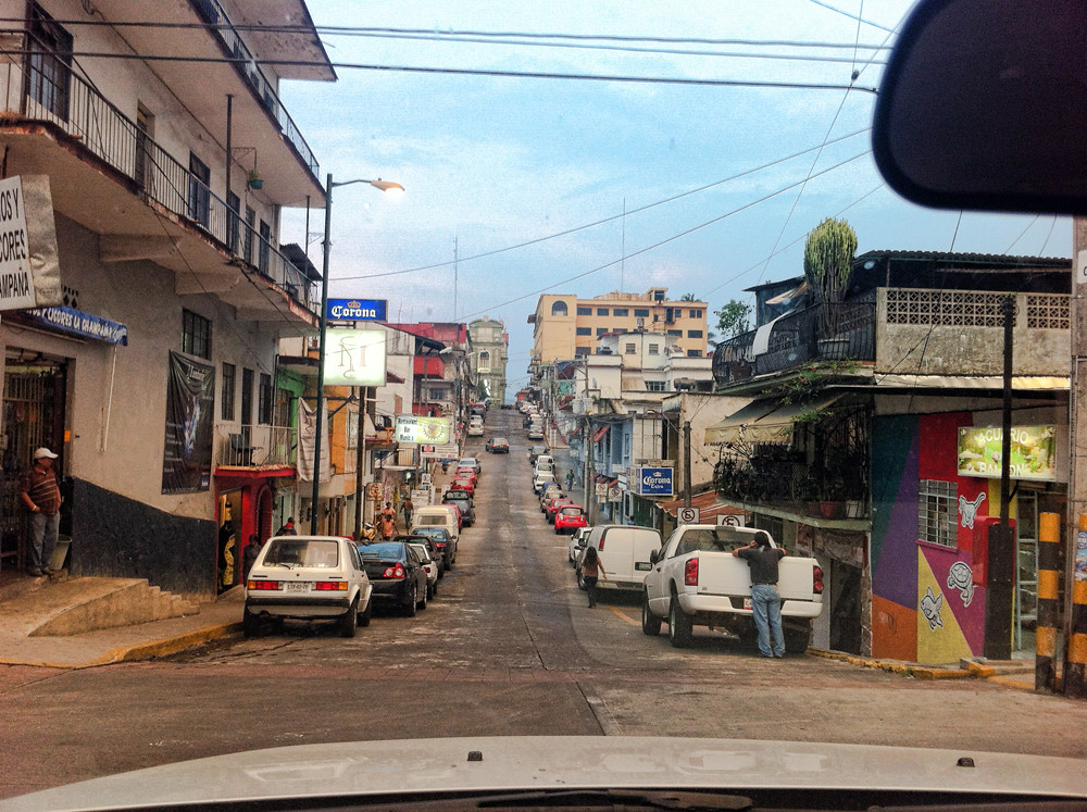
Córdoba Veracruz where people's heart is as warmer as coffee and even sweeter. #veracruz #mexico #iphone #street
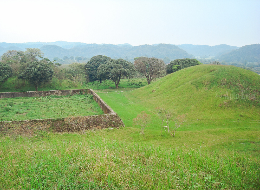
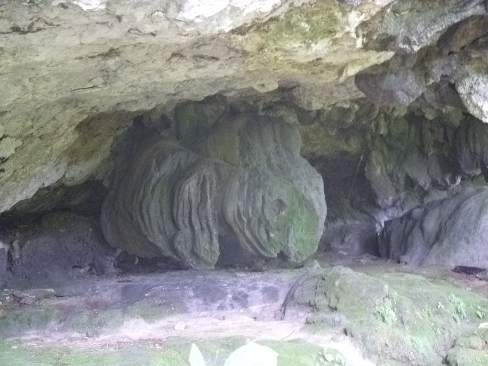
Toxpan Archaeological Zone
42/52

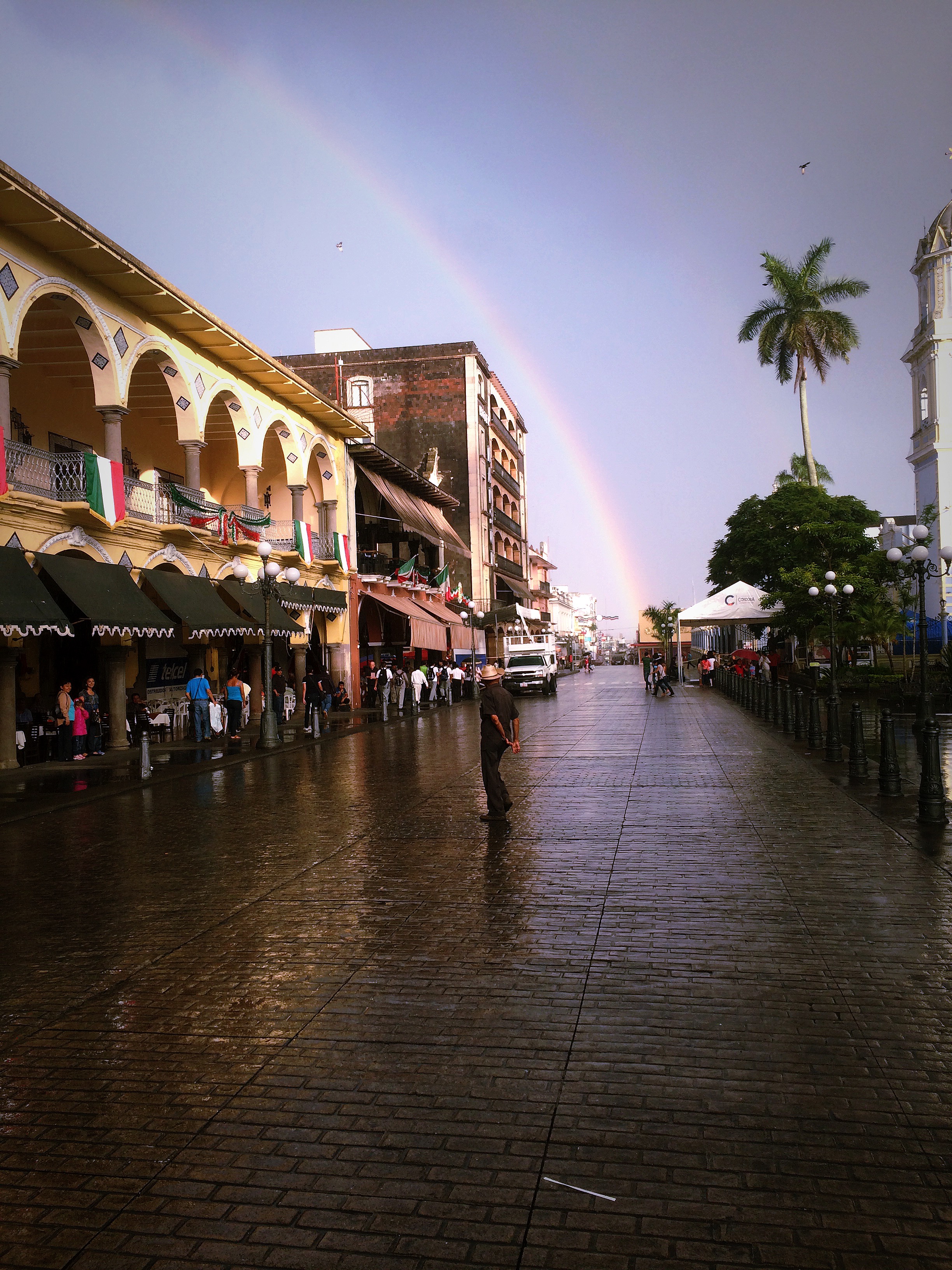
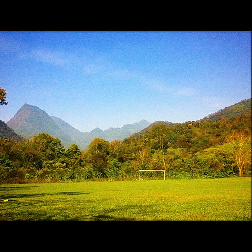
Primera luz

Al fondo a la derecha

31/52
42/52

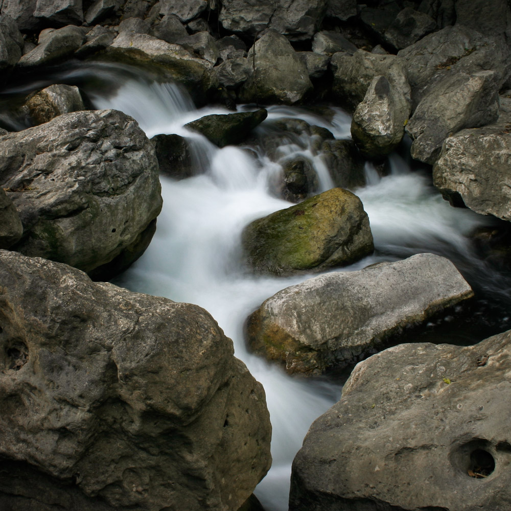
Entre rocas y agua
Piedra entre nubes
Baby Bunny?

26/52
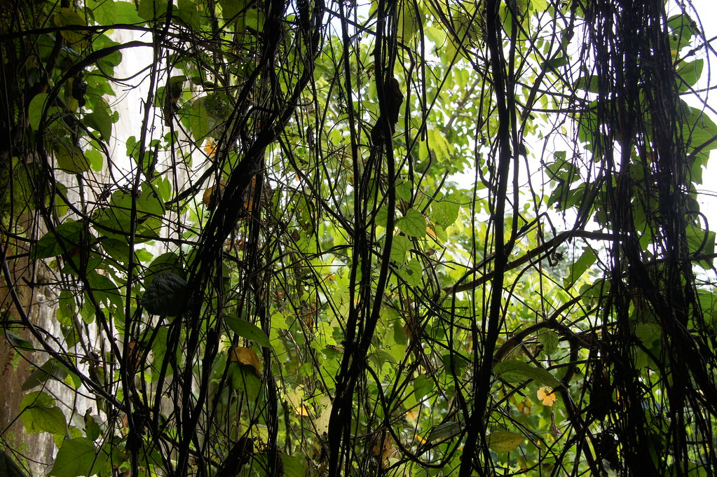
Macuilca, Zongolica.
Topographic Map of Yanga, Ver., Mexico
Find elevation by address:

Places in Yanga, Ver., Mexico:
Places near Yanga, Ver., Mexico:
Calle 7, Sin Colonia, Yanga, Ver., Mexico
Yanga
Sin Colonia
Córdoba - Boca del Rio 32, Omealca, Ver., Mexico
De Cuitláhuac 10, Gral Miguel Alemán, Ver., Mexico
General Miguel Alemán
Córdoba - Boca del Río, Córdoba, Ver., Mexico
58-b
Atoyac
Matamoros 9, Centro, Amatlán de los Reyes, Ver., Mexico
Amatlán De Los Reyes
Centro
Amatlán De Los Reyes
Córdoba
Córdoba
Marea 5, Las Brisas, Córdoba, Ver., Mexico
Las Brisas
Villa Unión
Luis Sánchez, Villa Unión, Ver., Mexico
Fortín De Las Flores
Recent Searches:
- Elevation of Gateway Blvd SE, Canton, OH, USA
- Elevation of East W.T. Harris Boulevard, E W.T. Harris Blvd, Charlotte, NC, USA
- Elevation of West Sugar Creek, Charlotte, NC, USA
- Elevation of Wayland, NY, USA
- Elevation of Steadfast Ct, Daphne, AL, USA
- Elevation of Lagasgasan, X+CQH, Tiaong, Quezon, Philippines
- Elevation of Rojo Ct, Atascadero, CA, USA
- Elevation of Flagstaff Drive, Flagstaff Dr, North Carolina, USA
- Elevation of Avery Ln, Lakeland, FL, USA
- Elevation of Woolwine, VA, USA