Elevation of Xizhou Township, Changhua County, Taiwan
Location: Taiwan > Changhua County >
Longitude: 120.516394
Latitude: 23.8247844
Elevation: 40m / 131feet
Barometric Pressure: 101KPa
Elevation Map:
Satellite Map:
Related Photos:

星月天空(Moon and stars sky)

星月天空(Moon and stars sky)

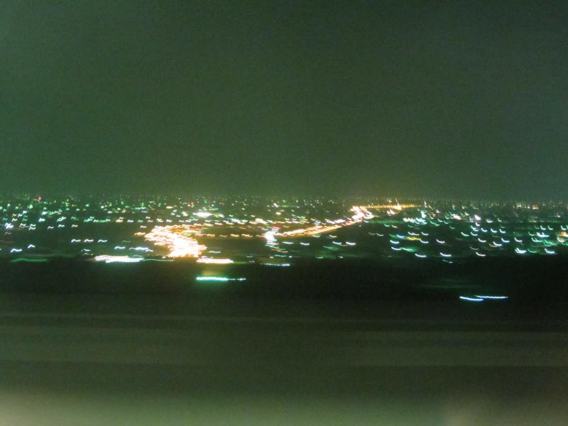
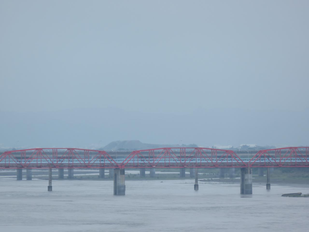
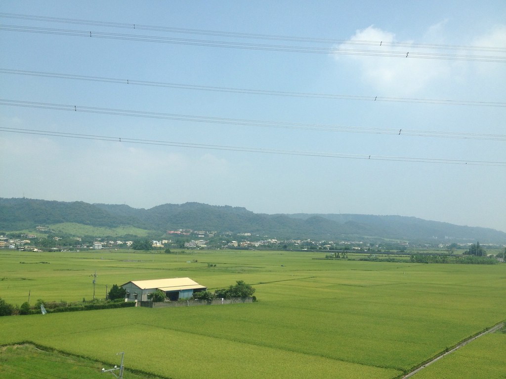
View From THSR Window

View From THSR Window
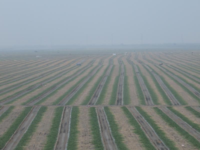
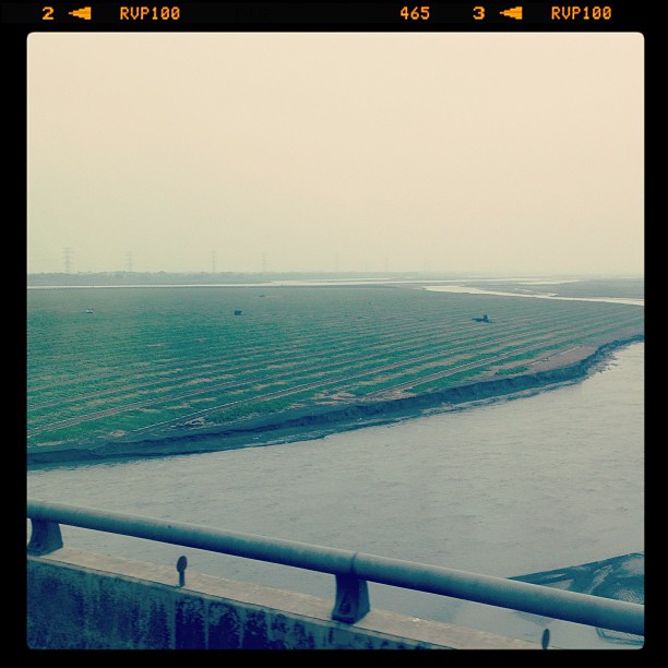
View From THSR Window

View From THSR Window

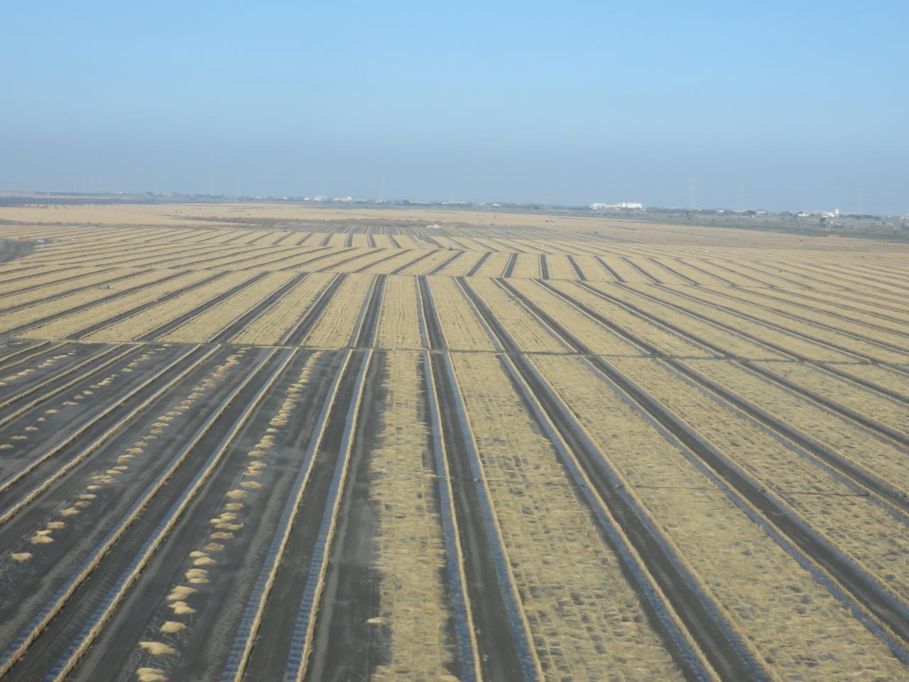
View From THSR Window
View From THSR Window

View From THSR Window
View From THSR Window

View From THSR Window
View From THSR Window

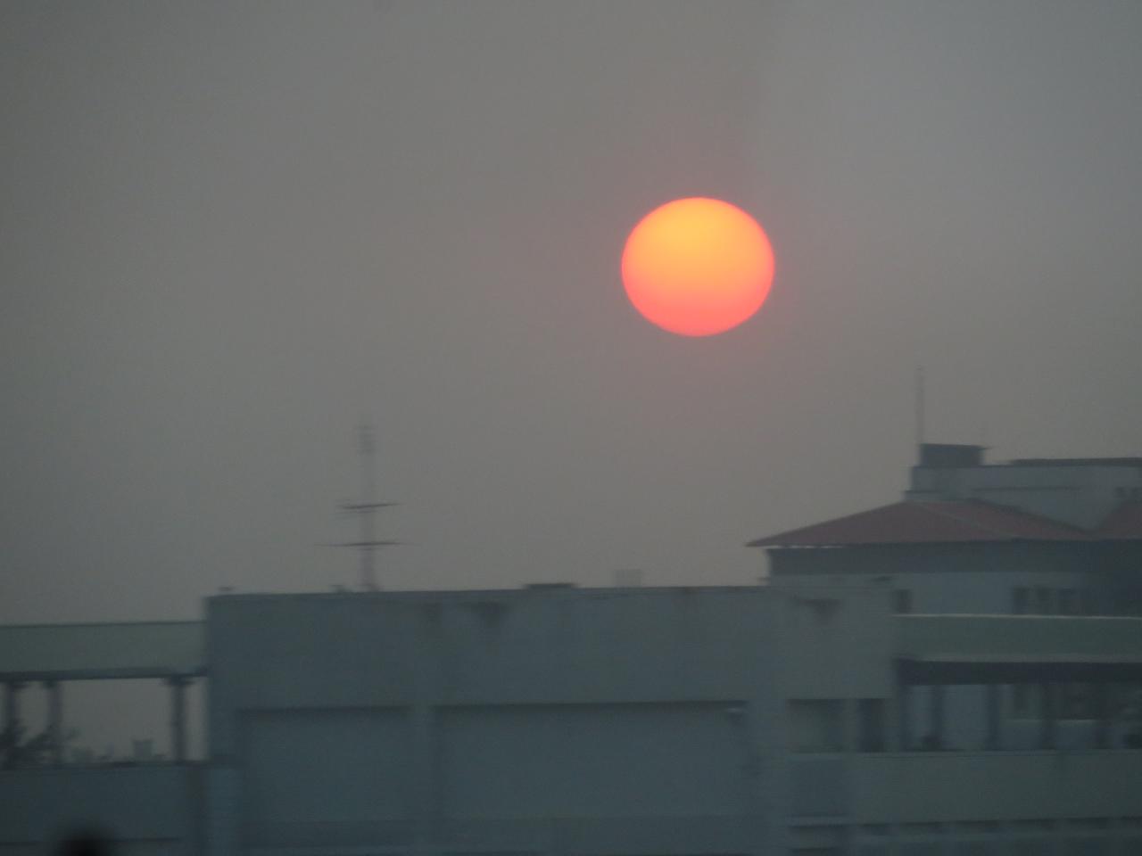
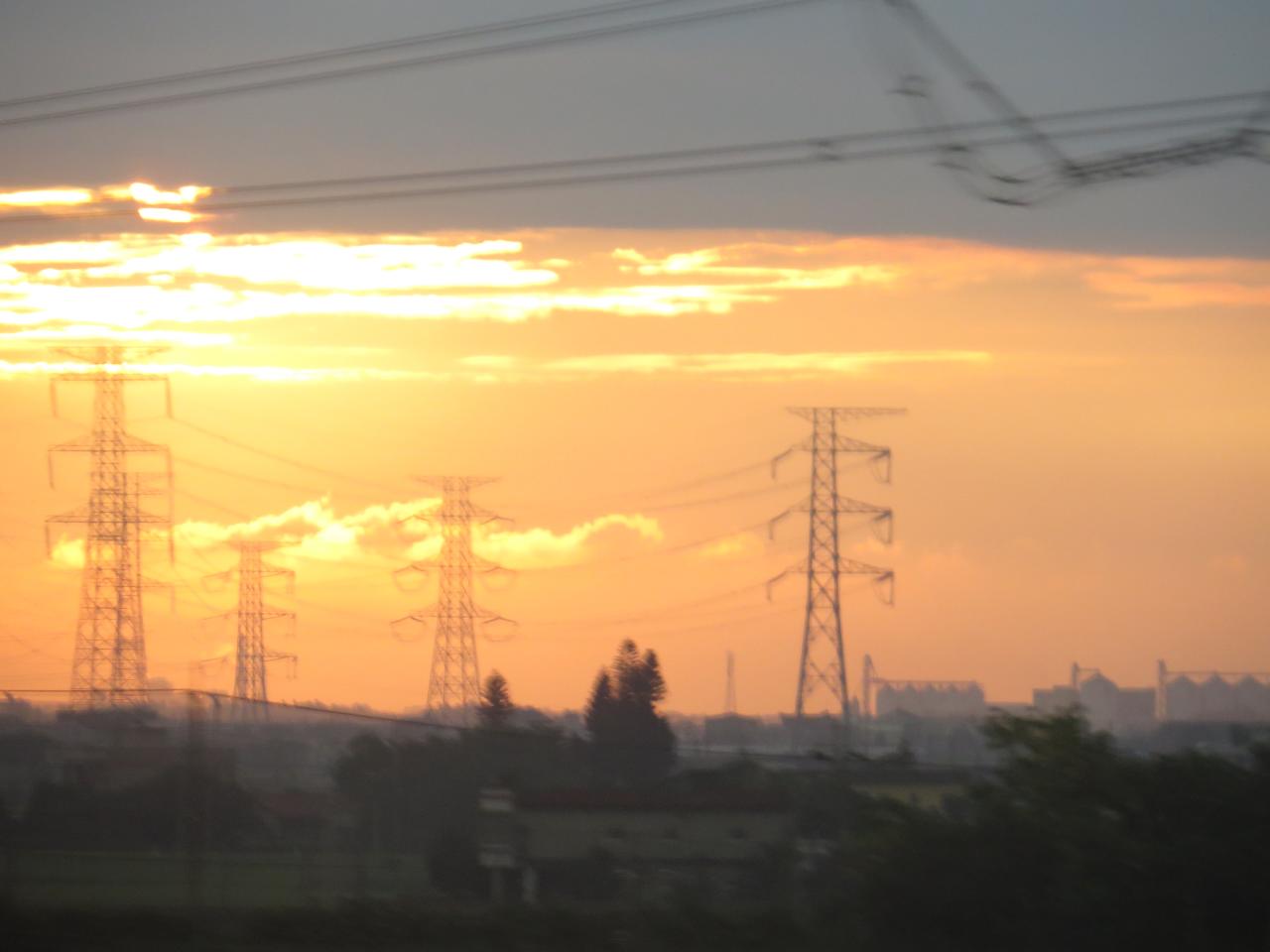
Sunset (View From THSR Window)

View From THSR Window

View From THSR Window

View From THSR Window
View From THSR Window

View From THSR Window
View From THSR Window

View From THSR Window

View From THSR Window
暴風雨前的寧靜~!

賞花4

county highway no.139乙

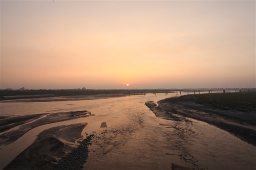
老家附近‧夕陽

Exercise time #golf #nantou

.

熟悉的景色????????

Danboard紙箱人~阿楞
IMG_0198.JPG
員工旅遊ing
On My Way
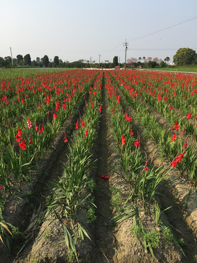
劍蘭
Topographic Map of Xizhou Township, Changhua County, Taiwan
Find elevation by address:

Places in Xizhou Township, Changhua County, Taiwan:
Places near Xizhou Township, Changhua County, Taiwan:
69-3
圳寮村
Taiwan, Changhua County, Xizhou Township, 下樹巷號
潮洋村
15-1
Taiwan, Changhua County, Xizhou Township, 彰鄉道號
柑園村
No. 73, Section 3, Zhongyang Rd, Xizhou Township, Changhua County, Taiwan
No. 3, Touqian Rd, Xizhou Township, Changhua County, Taiwan
西畔村
舊眉村
菜公村
19-1
No., Section 4, Xixia Rd, Xizhou Township, Changhua County, Taiwan
溪厝村
饒平村
尾厝村
四合村
西德里
No. 51, Section 1, Dengshan Rd, Xizhou Township, Changhua County, Taiwan
Recent Searches:
- Elevation of Unnamed Road, Respublika Severnaya Osetiya — Alaniya, Russia
- Elevation of Verkhny Fiagdon, North Ossetia–Alania Republic, Russia
- Elevation of F. Viola Hiway, San Rafael, Bulacan, Philippines
- Elevation of Herbage Dr, Gulfport, MS, USA
- Elevation of Lilac Cir, Haldimand, ON N3W 2G9, Canada
- Elevation of Harrod Branch Road, Harrod Branch Rd, Kentucky, USA
- Elevation of Wyndham Grand Barbados Sam Lords Castle All Inclusive Resort, End of Belair Road, Long Bay, Bridgetown Barbados
- Elevation of Iga Trl, Maggie Valley, NC, USA
- Elevation of N Co Rd 31D, Loveland, CO, USA
- Elevation of Lindever Ln, Palmetto, FL, USA