Elevation of X+XP San Juan de Chicuá, Costa Rica
Location: Costa Rica > Cartago >
Longitude: -83.843187
Latitude: 9.9599375
Elevation: 2897m / 9505feet
Barometric Pressure: 71KPa
Elevation Map:
Satellite Map:
Related Photos:

Blue volcano

Panorámica en el camino de descenso de Potrero Cerrado a Cot/ Panoramic view on the downhill road, from the town of Potrero Cerrado to Cot

Vista hacia Cartago, desde La Chinchilla/ View towards Cartago, from La Chinchilla

Cartago to Church
Vista del Valle Central Oriental, en la caminata/ View from the Central Eastern Valley, on the hiking route

Ruins of Ujarrás

Palm warbler -Western subspecies- (Setophaga palmarum)

Fading Away
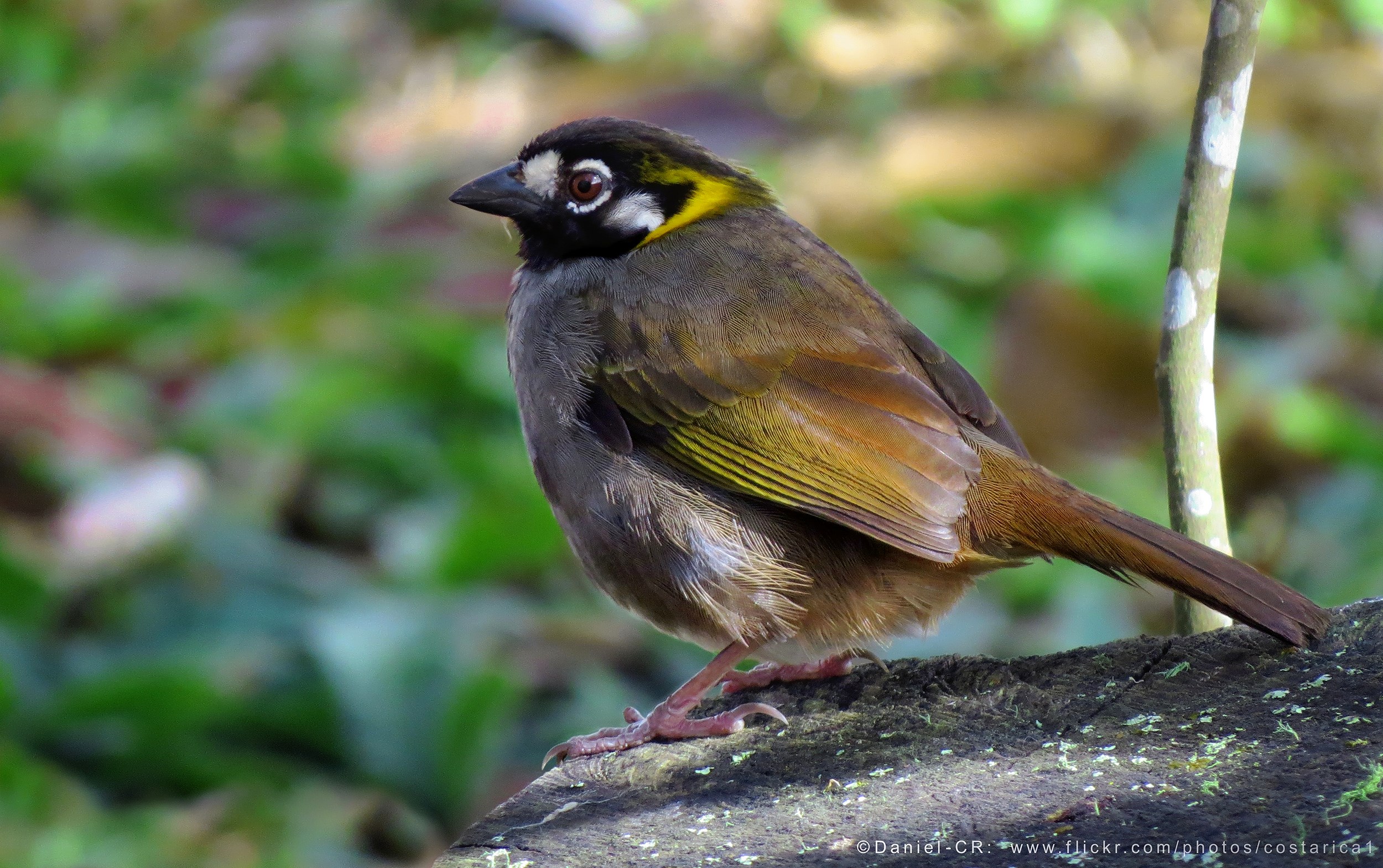
White-eared Ground-Sparrow (Melozone leucotis)

Get out!

A view from our morning dose of gallo pinto. En route from Cartago to Turrialba, Costa Rica.

Turrialba volcano, Costa Rica

Turrialba-Volcano- from the Irazu Volcano

Turrialba-Volcano

Orosi Valley

View from Irazú Volcano

View from Irazú Volcano

Valley View

Vista hacia el volcán Irazú/ View towards Irazú volcano

El cementerio de Tierra Blanca y la vista hacia el Valle Central Oriental/ The cemetery at Tierra Blanca, Cartago province and the view towards the Central Eastern Valley

El Valle Central, paisaje desde Rancho Redondo de Goicoechea/ View of the Costa Rican Central Valley, seen from Rancho Redondo de Goicoechea lookout point

Paisaje en la caminata, Laguna de Llano Grande, Cartago, julio del 2016/ Landscape on the hiking Rouge, Laguna of Llano Grande, Cartago canton, July 2016

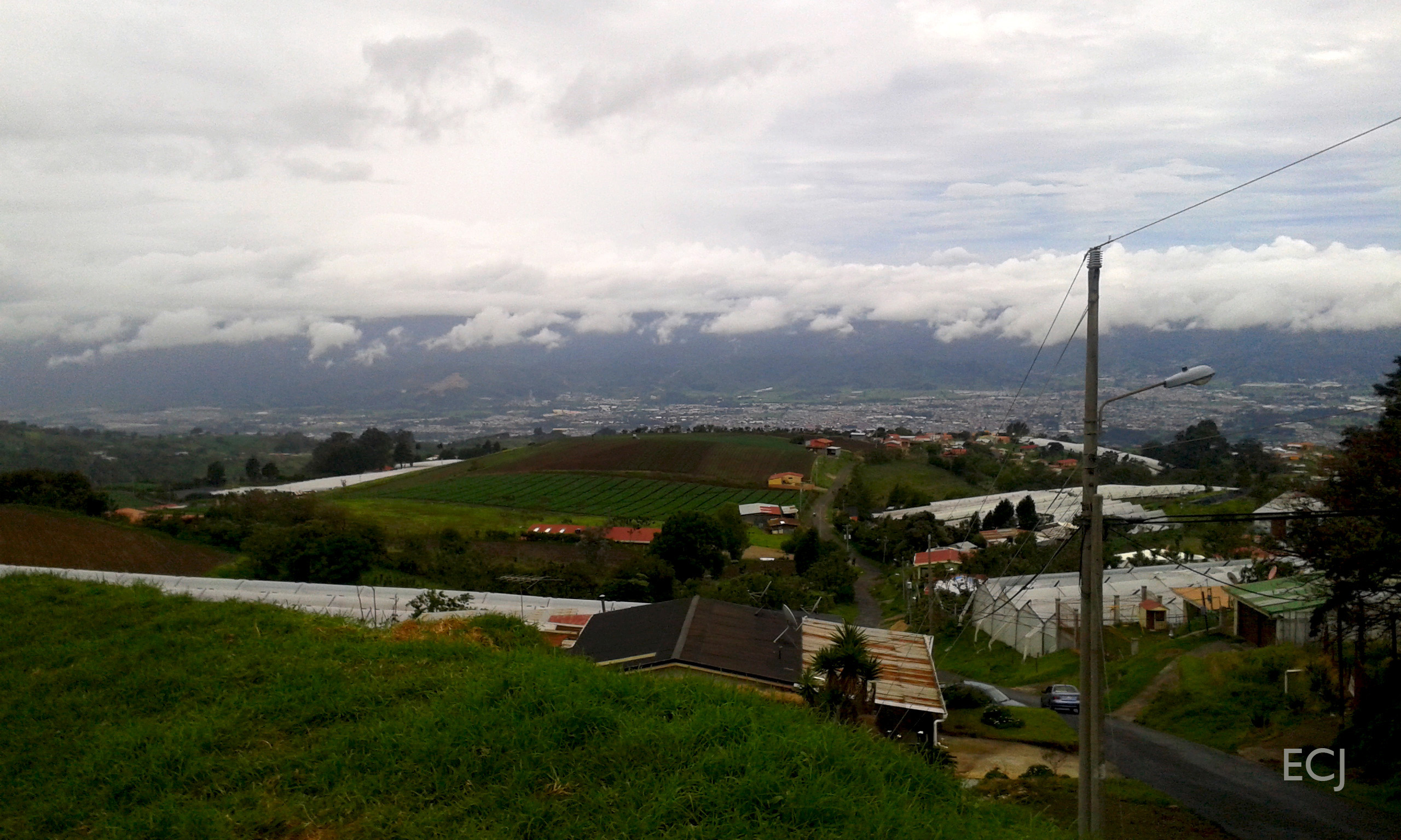
El paisaje desde La Chinchilla hacía Cartago/ The landscape from the sector of La Chinchilla towards the city of Cartago

Panorámica, Mirador de Rancho Redondo/ Panoramic view: Rancho Redondo lookout point

Lago Angostura 1

Paisaje en la ruta de caminata entre Potrero Cerrado y Cot/ Landscape on the hiking route between the towns of Potrero Cerrado and Cot

Paisaje en la ruta de caminata entre Potrero Cerrado y Cot/ Landscape on the hiking route between the towns of Potrero Cerrado and Cot

Irazú & Turrialba

Caminata, julio del 2016, Mirador de Rancho Redondo. Vista del Valle Central hacia el suroeste/ Hike, July 2016, Rancho Redondo lookout point: view of the Costa Rican Central Valley, towards the Southwest

[Explore!] Macizo del Turrialba, visto desde el Volcán Irazú.

Paisaje hacia el Valle Central Oriental/ Landscape towards the Central Eastern Valley

Sin abandonar la lucha/ Not deserting the fight

Lago Angostura 2

Con un campo de flores amarillas y la vista abarcante hacia el Valle Central Oriental, concluimos el 2017/ With a yellow flowers field and a far-reaching view towards the Central Eastern Valley,, we end up 2017

Caballos durante el primer ascenso de la caminata/ Horses during the first ascent of the hike

Le marécage désertique "playa hermosa" du volcan Irazu
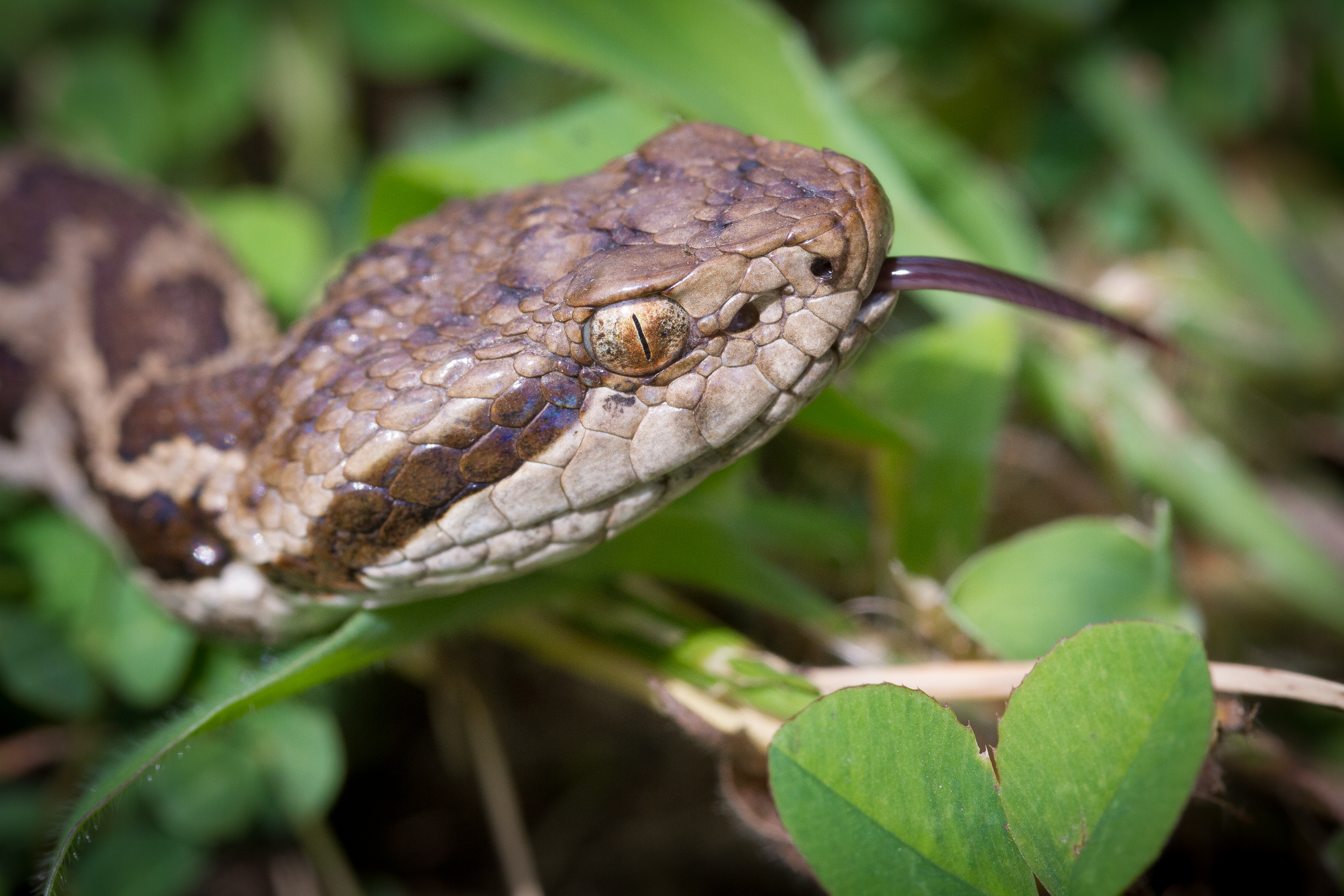
Toboba de altura

Avanzando en la caminata, vista del Valle Central Oriental/ Going forward with our hike, view of the Central Eastern Valley
Topographic Map of X+XP San Juan de Chicuá, Costa Rica
Find elevation by address:

Places near X+XP San Juan de Chicuá, Costa Rica:
Irazú Volcano
W4qj+qc
2626+w8
San Rafael
Cartago
Costa Rica
X8f5+4m
Guayabo National Monument
El Tejar De El Guarco
Tres Rios
Turrialba
Calle Mesen
Condominio Rialto
Montes De Oca
Escuela Santa Elena
La Trinidad
Curridabat
Curridabat
Mercedes
Central Valley Spanish School
Recent Searches:
- Elevation of 15th Ave SE, St. Petersburg, FL, USA
- Elevation of Beall Road, Beall Rd, Florida, USA
- Elevation of Leguwa, Nepal
- Elevation of County Rd, Enterprise, AL, USA
- Elevation of Kolchuginsky District, Vladimir Oblast, Russia
- Elevation of Shustino, Vladimir Oblast, Russia
- Elevation of Lampiasi St, Sarasota, FL, USA
- Elevation of Elwyn Dr, Roanoke Rapids, NC, USA
- Elevation of Congressional Dr, Stevensville, MD, USA
- Elevation of Bellview Rd, McLean, VA, USA