Elevation of Wymore, NE, USA
Location: United States > Nebraska > Gage County > Blue Springs-wymore >
Longitude: -96.662523
Latitude: 40.1222236
Elevation: 378m / 1240feet
Barometric Pressure: 97KPa
Elevation Map:
Satellite Map:
Related Photos:
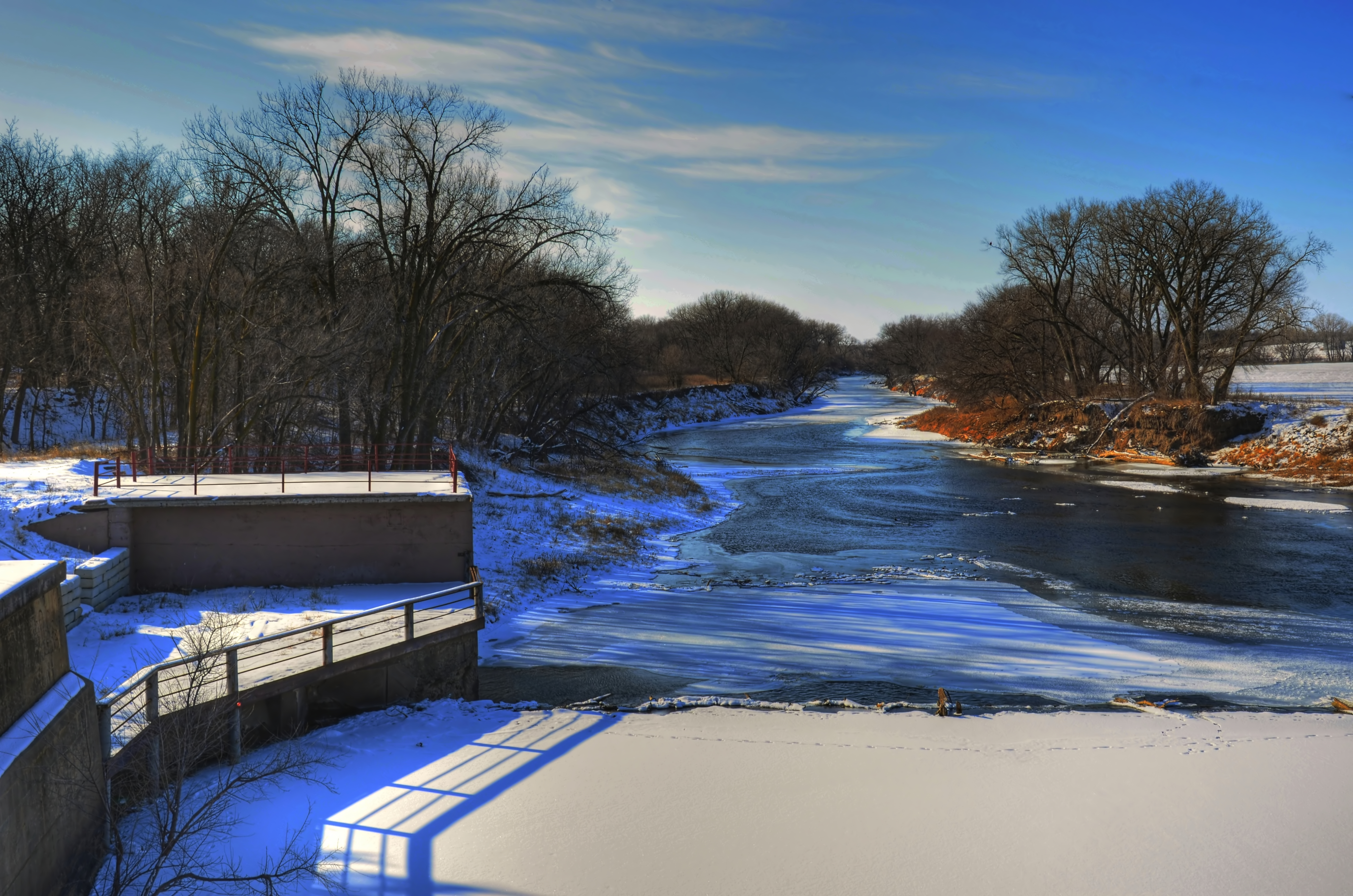
River View

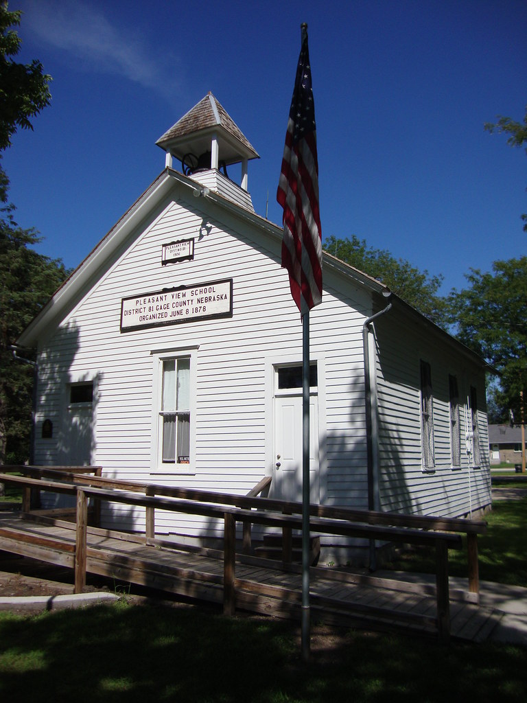
Pleasant View School - Wymore, NE

They saw me...
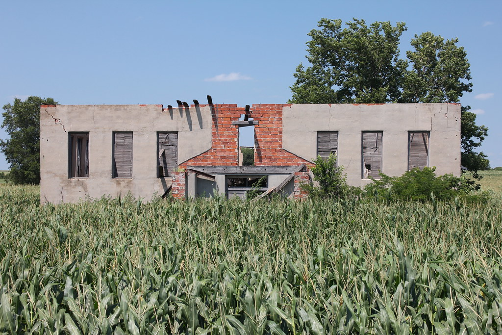
Old Pleasant View School House (Wymore, Nebraska)
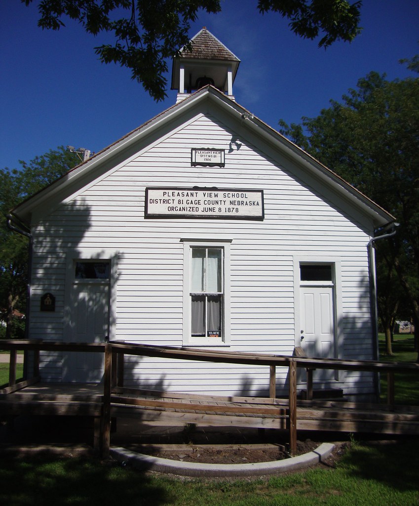
Old Pleasant View School House (Wymore, Nebraska)
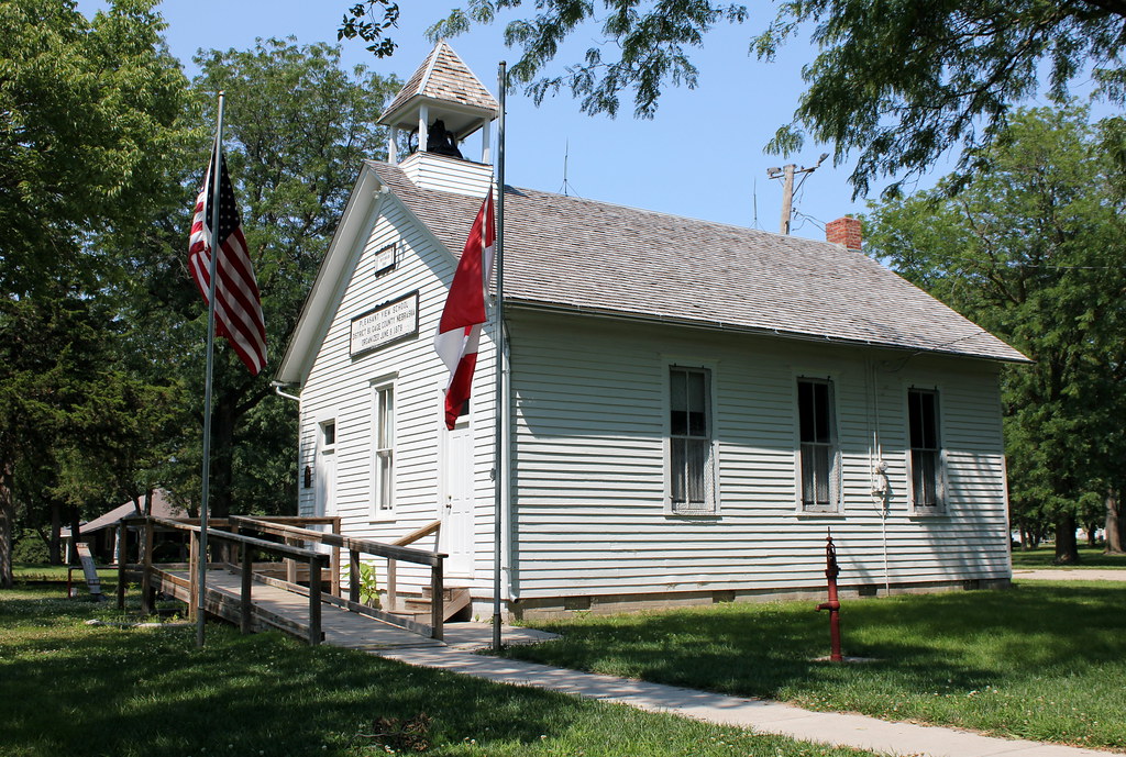
Pleasant View School - Wymore, NE

Snow Fun
Union Center School - rural Blue Springs, NE

The Barneston Dam 1982

Abandonded farmstead
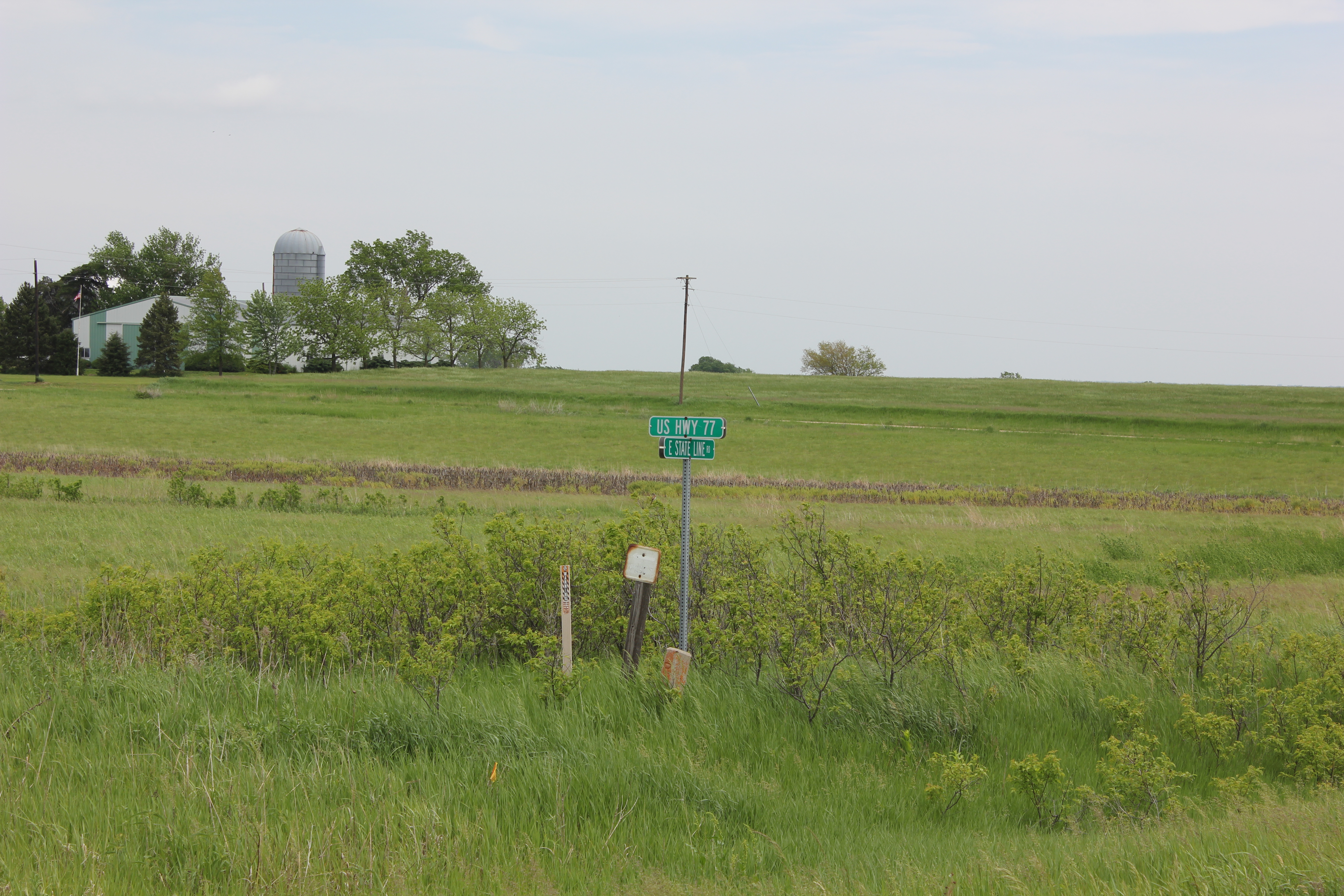
State Line Road

Blue River Dam - Blue Springs, NE
Topographic Map of Wymore, NE, USA
Find elevation by address:

Places in Wymore, NE, USA:
Places near Wymore, NE, USA:
S 7th St, Wymore, NE, USA
Blue Springs-wymore
Gage County
Oketo
5109 E Hoyt Rd
1409 Lake Shore Dr
4376 E Hoyt Rd
Beatrice
Oketo
Center St, Oketo, KS, USA
N Woodland Ave, Beatrice, NE, USA
7909 E Hickory Rd
6th Rd, Marysville, KS, USA
Logan
Diller
Lewiston
Richardson Ave, Lewiston, NE, USA
South 54 Road
Hanover Insurance Co
Plymouth
Recent Searches:
- Elevation of Warwick, RI, USA
- Elevation of Fern Rd, Whitmore, CA, USA
- Elevation of 62 Abbey St, Marshfield, MA, USA
- Elevation of Fernwood, Bradenton, FL, USA
- Elevation of Felindre, Swansea SA5 7LU, UK
- Elevation of Leyte Industrial Development Estate, Isabel, Leyte, Philippines
- Elevation of W Granada St, Tampa, FL, USA
- Elevation of Pykes Down, Ivybridge PL21 0BY, UK
- Elevation of Jalan Senandin, Lutong, Miri, Sarawak, Malaysia
- Elevation of Bilohirs'k