Elevation of Wye Rd, Lakeland, LA, USA
Location: United States > Louisiana > Pointe Coupee Parish > >
Longitude: -91.428407
Latitude: 30.6047613
Elevation: 9m / 30feet
Barometric Pressure: 101KPa
Elevation Map:
Satellite Map:
Related Photos:
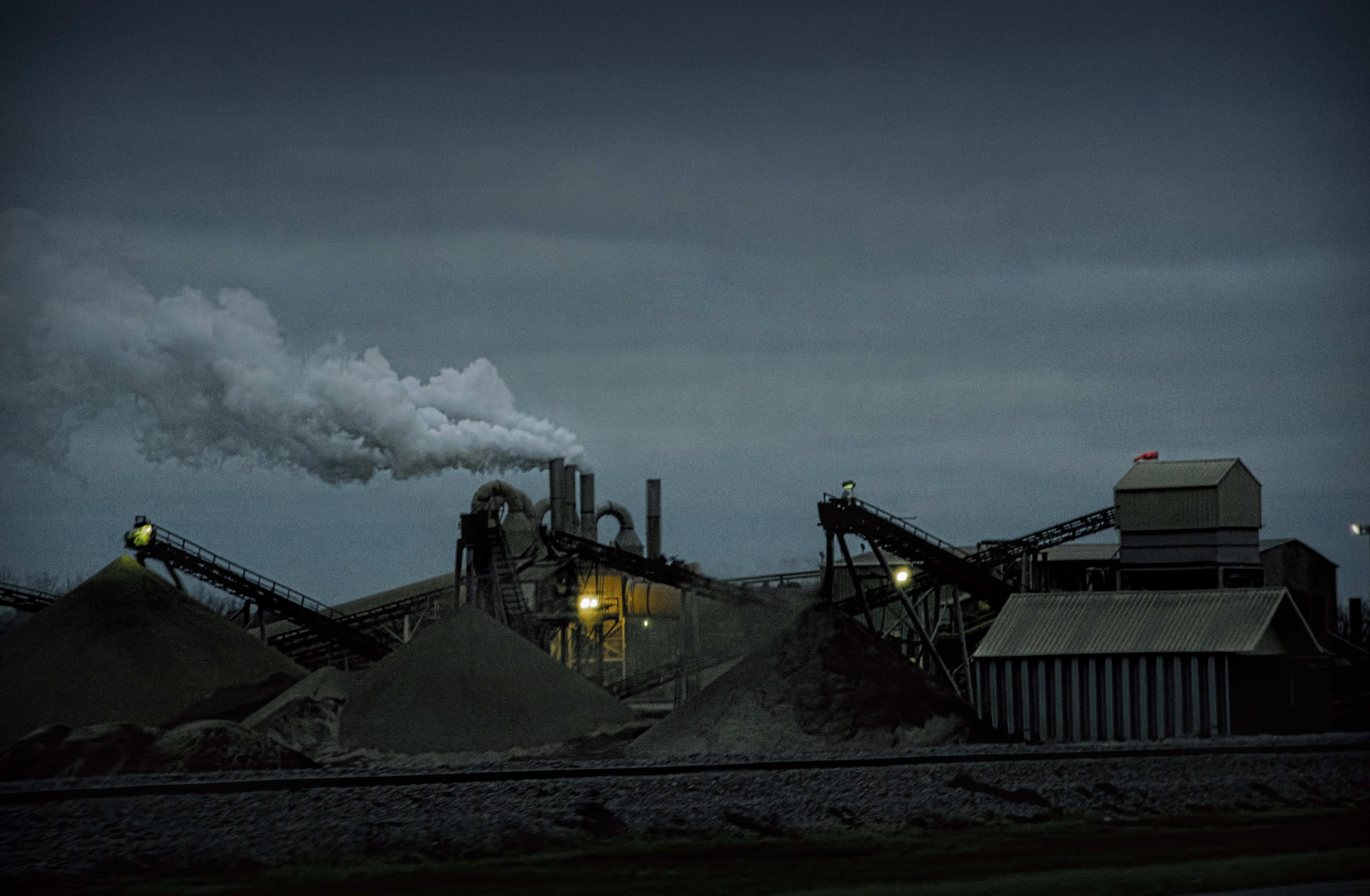
dark view
Pointe Coupee 04
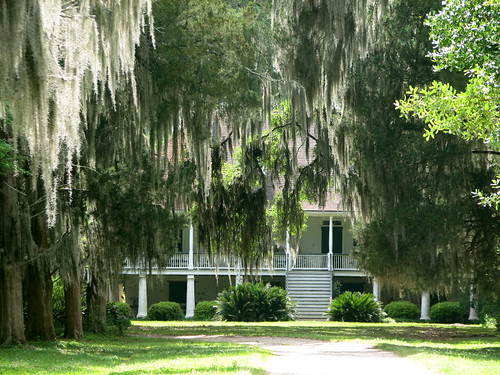
Parlange 1
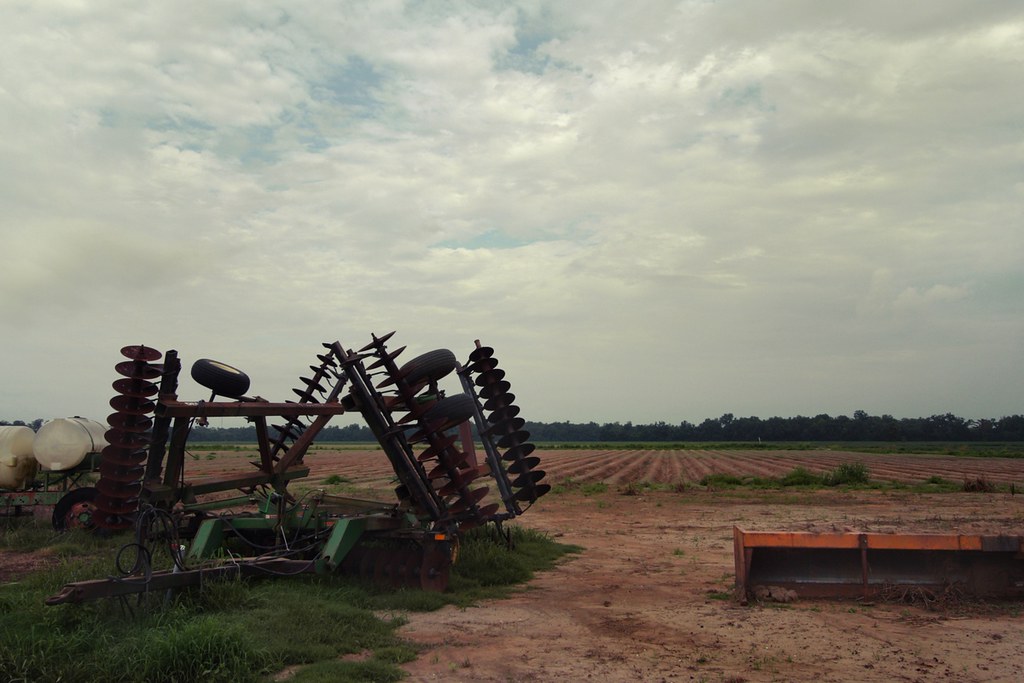
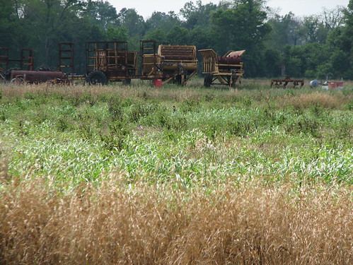
resting the fields
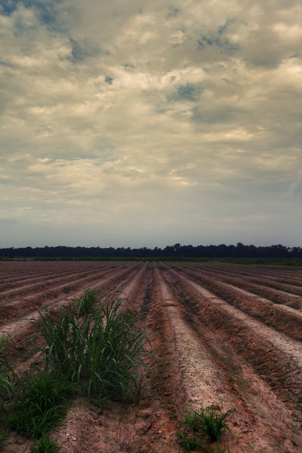
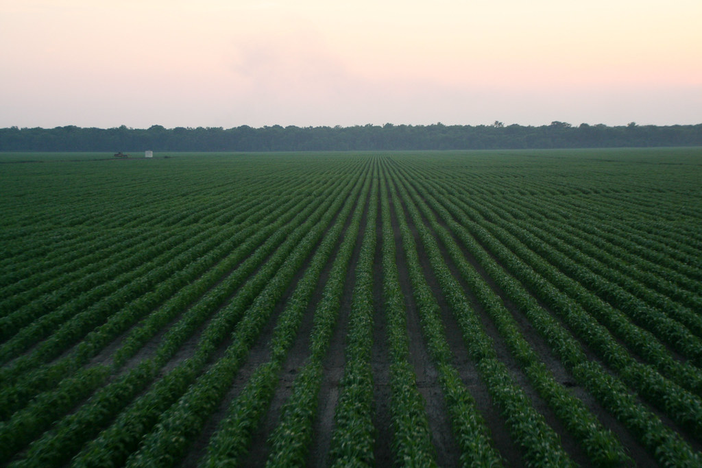
Louisiana sugarcane field

DECEMBER FIELD
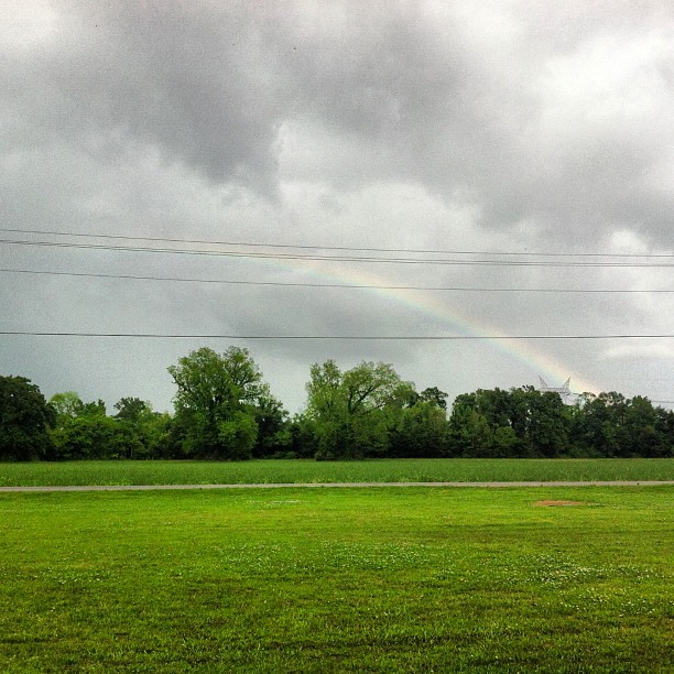
Can you see the #rainbow?? #outside #cloudy #sky #green #trees #louisiana

another sunset
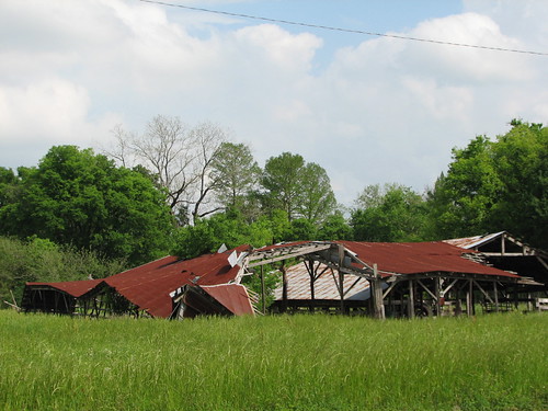
Oh, Barn

The Road Home on Christmas
along the River Road
False River

0552-Port Hudson Area

The Road Home on Christmas

The Road Home on Christmas
lean-flight-11-19-2015-8524
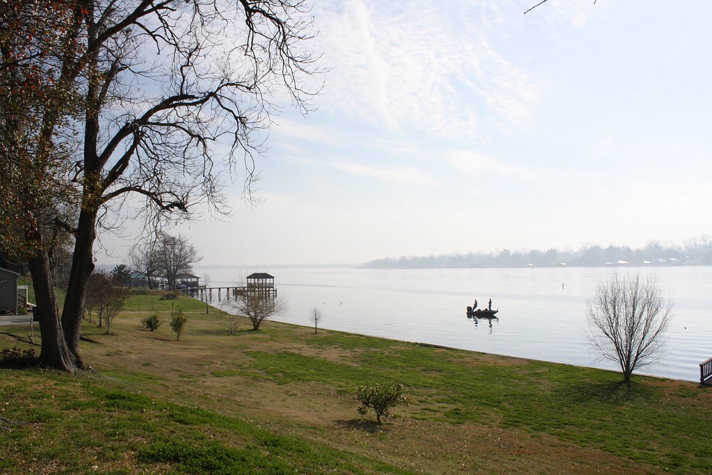
Fishing 1
cane's cane
Fishing 3

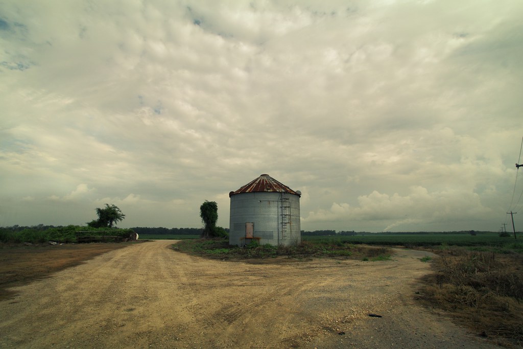
still standing
050907_poweredParachute_33.JPG
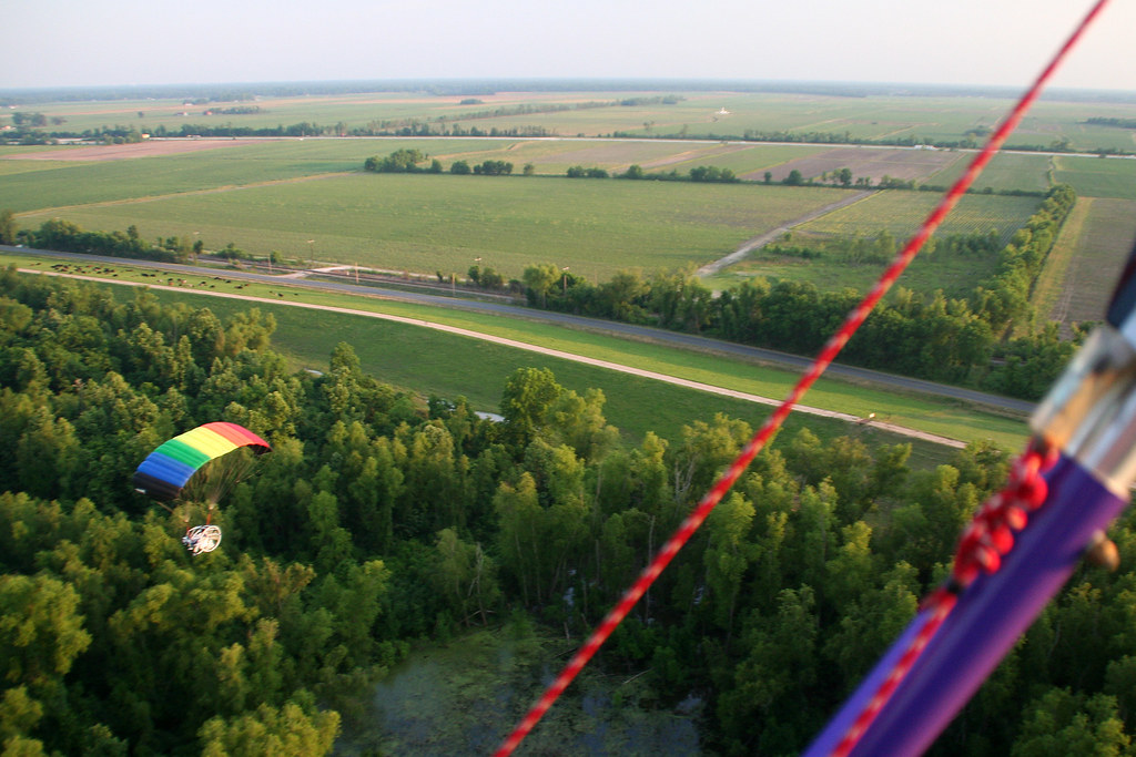
050907_poweredParachute_21.JPG
Fields of Green
Topographic Map of Wye Rd, Lakeland, LA, USA
Find elevation by address:

Places near Wye Rd, Lakeland, LA, USA:
3403 Oakland Rd
3403 Oakland Rd
6661 Island Rd
Jarreau
5, LA, USA
8273 Island Rd
6, LA, USA
10296 Island Rd
310 Benjamin St
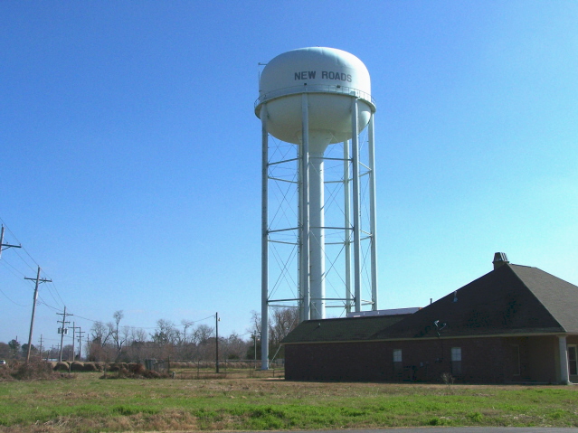
New Roads
8579 Woodman Ln
3, LA, USA
Pointe Coupee Rd, New Roads, LA, USA
Pointe Coupee Parish
Morganza Hwy, Morganza, LA, USA
4388 Shows St
Fordoche
6260 Fordoche Rd
6287 Fordoche Rd
11, LA, USA
Recent Searches:
- Elevation of Rojo Ct, Atascadero, CA, USA
- Elevation of Flagstaff Drive, Flagstaff Dr, North Carolina, USA
- Elevation of Avery Ln, Lakeland, FL, USA
- Elevation of Woolwine, VA, USA
- Elevation of Lumagwas Diversified Farmers Multi-Purpose Cooperative, Lumagwas, Adtuyon, RV32+MH7, Pangantucan, Bukidnon, Philippines
- Elevation of Homestead Ridge, New Braunfels, TX, USA
- Elevation of Orchard Road, Orchard Rd, Marlborough, NY, USA
- Elevation of 12 Hutchinson Woods Dr, Fletcher, NC, USA
- Elevation of Holloway Ave, San Francisco, CA, USA
- Elevation of Norfolk, NY, USA