Elevation of Wutai Township, Pingtung County, Taiwan
Location: Taiwan > Pingtung County >
Longitude: 120.780967
Latitude: 22.7509887
Elevation: 916m / 3005feet
Barometric Pressure: 91KPa
Elevation Map:
Satellite Map:
Related Photos:

戀戀山城~霧台

DSC02976.JPG

Liang Shan waterfall, Pington, Taiwan.

P_20141024_054438_HDR.jpg

斜射光

20140209霧臺

山湖觀

可愛的小baby

2014年5月13日霧台的雨後
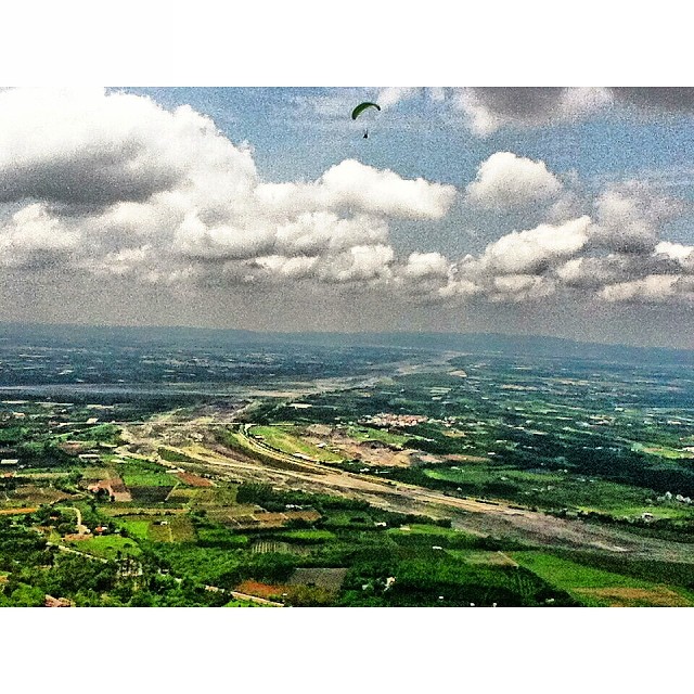
迎著氣流,往上蹬著空步高昇,期許在新的天空一片無阻,直至安全地降落結束這新的一年新的旅程。#parachute #sky #clouds #Taiwan #landscape #scenery #ClipCrop
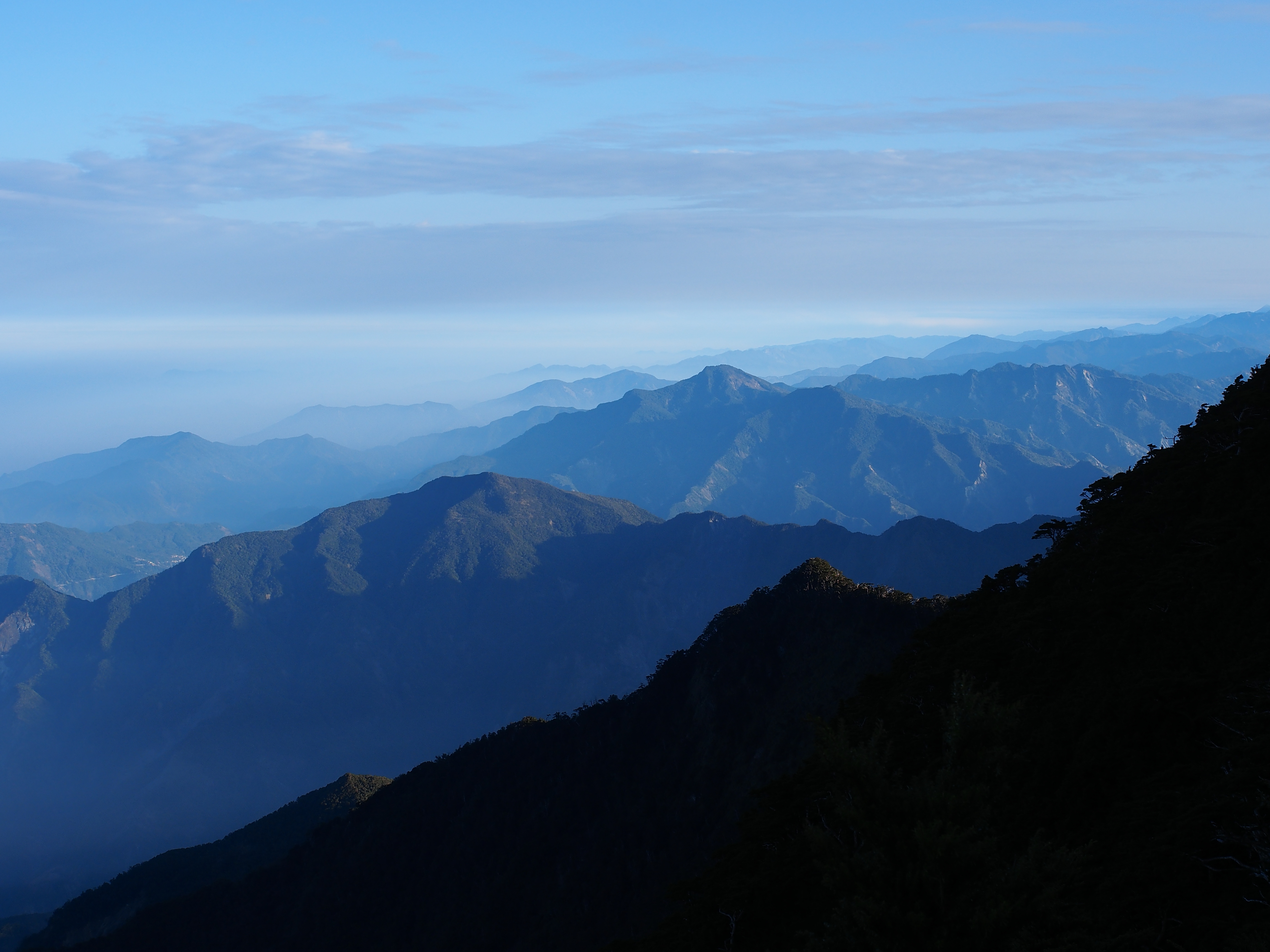
中央山脈南段

涼山瀑布 木棧步道
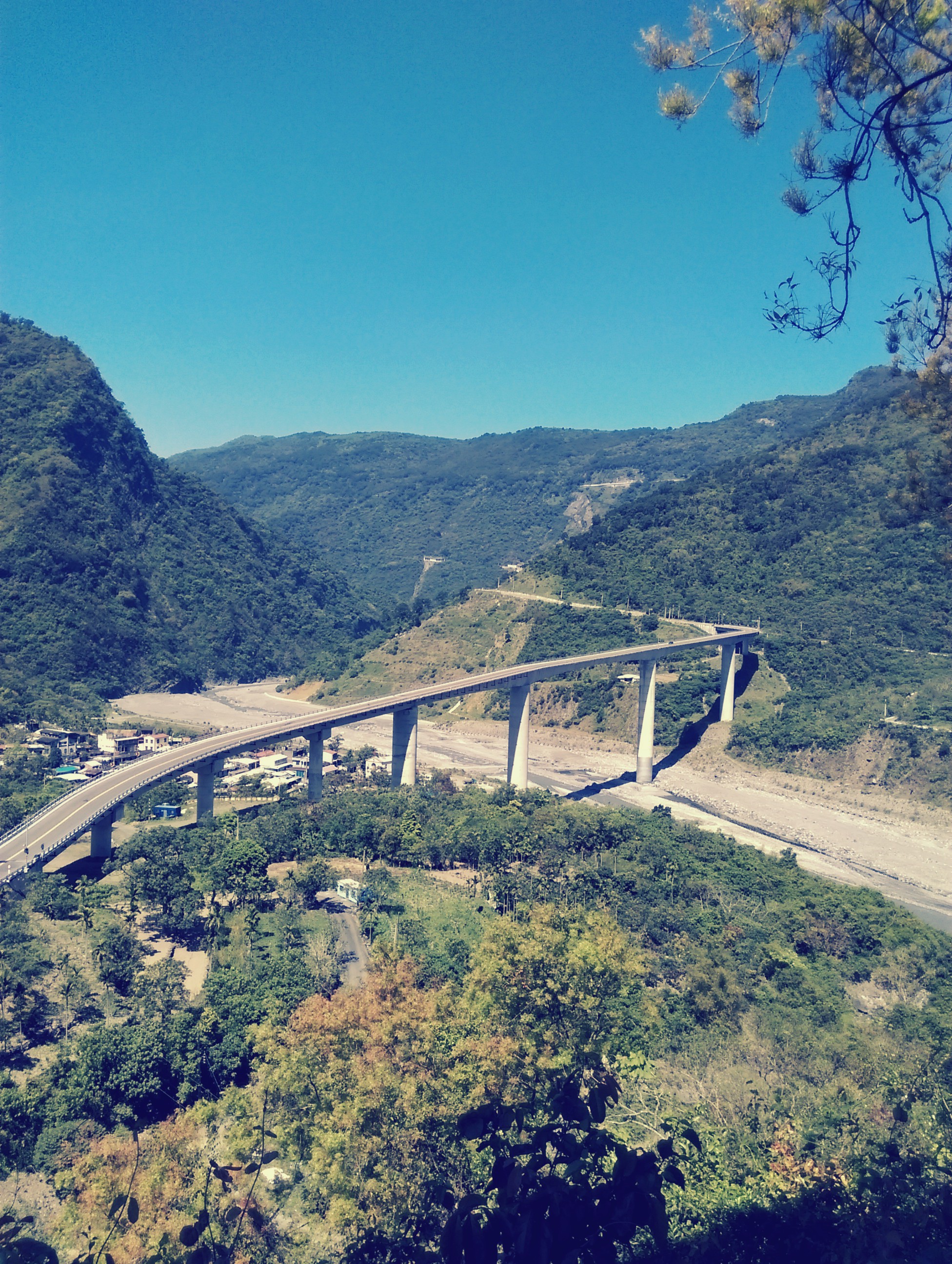
屏東 霧台 谷川大橋

南北大武雲海-北大武杷宇森出比魯
Topographic Map of Wutai Township, Pingtung County, Taiwan
Find elevation by address:

Places in Wutai Township, Pingtung County, Taiwan:
Places near Wutai Township, Pingtung County, Taiwan:
Wutai Township, Pingtung County, Taiwan
No. 2, Dawujiamu Communication Rd, Wutai Township, Pingtung County, Taiwan
Wutaidawu Communication Road
吉露村
大武村
Wu Tai B&b
Taiwan, Pingtung County, Wutai Township, 台24線14號
Wutai
Pingtung County Wutai Township Office
佳暮村
No. 29, Jiamuyila Communication Rd, Wutai Township, Pingtung County, Taiwan
霧台村
Taiwan, Pingtung County, Sandimen Township, 德文巷3號
德文村
溫泉村
Sandimen Township
瑪家村
No. 44, Jiama Rd, Majia Township, Pingtung County, Taiwan
口社村
三地村
Recent Searches:
- Elevation of Côte-des-Neiges, Montreal, QC H4A 3J6, Canada
- Elevation of Bobcat Dr, Helena, MT, USA
- Elevation of Zu den Ihlowbergen, Althüttendorf, Germany
- Elevation of Badaber, Peshawar, Khyber Pakhtunkhwa, Pakistan
- Elevation of SE Heron Loop, Lincoln City, OR, USA
- Elevation of Slanický ostrov, 01 Námestovo, Slovakia
- Elevation of Spaceport America, Co Rd A, Truth or Consequences, NM, USA
- Elevation of Warwick, RI, USA
- Elevation of Fern Rd, Whitmore, CA, USA
- Elevation of 62 Abbey St, Marshfield, MA, USA