Elevation of Wrightsville, PA, USA
Location: United States > Pennsylvania > York County > Hellam Township >
Longitude: -76.529965
Latitude: 40.0256531
Elevation: 89m / 292feet
Barometric Pressure: 100KPa
Elevation Map:
Satellite Map:
Related Photos:

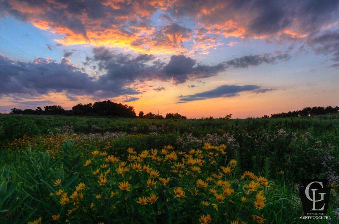
Pennsylanian Big Sky
No hiking tonight but here's another shot of the Chestnut Grove Natural Area last evening. This view curtesy of @lcswmapa!! #sunset #naturegram #nature_lovers #lancastergram #discoverlancaster #alwayslancaster #pennlive #uncoveringpa #lanccountymag #pa_ex
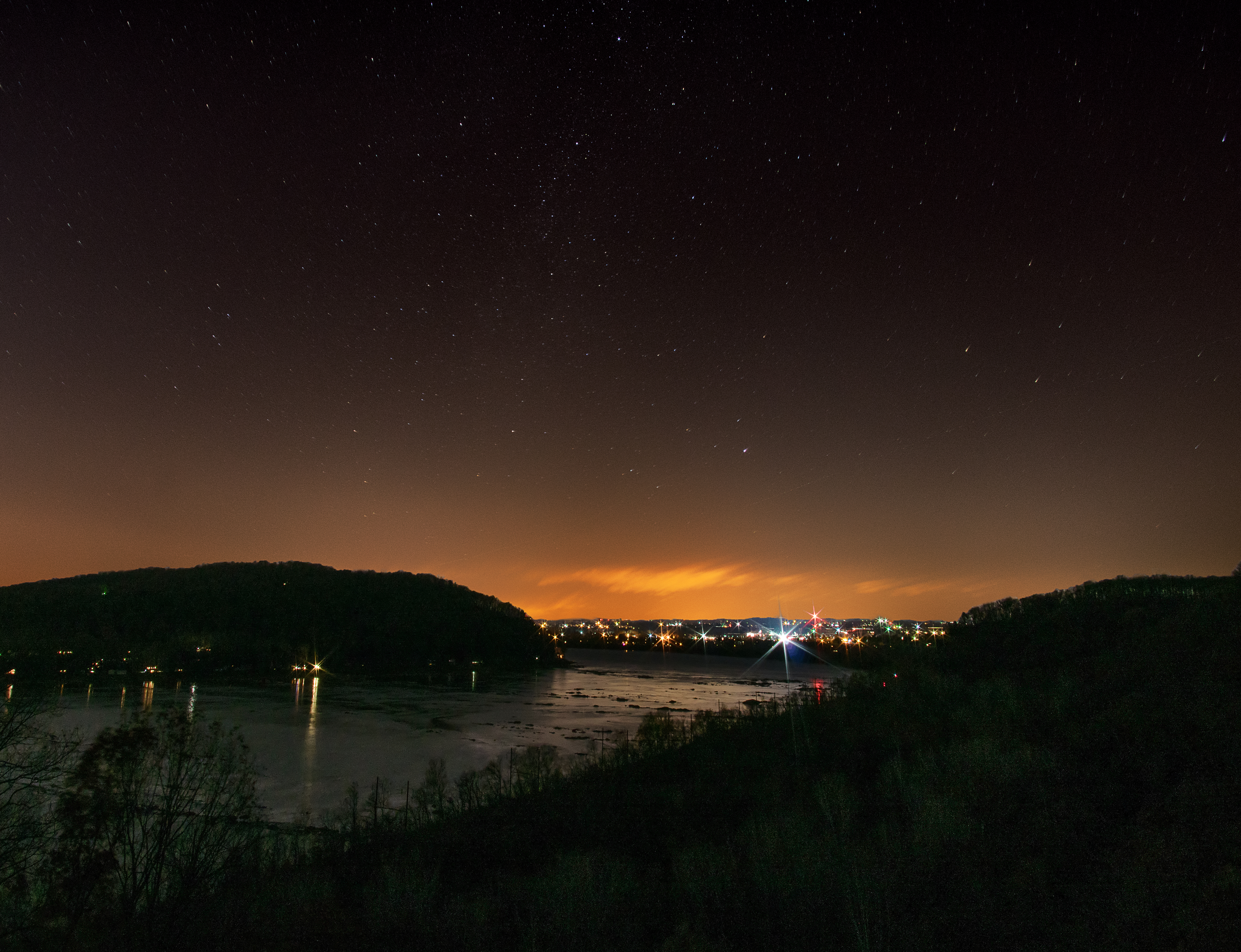
Night View with Stars of Susquehanna River from Chickies Rock, Lancaster County, PA
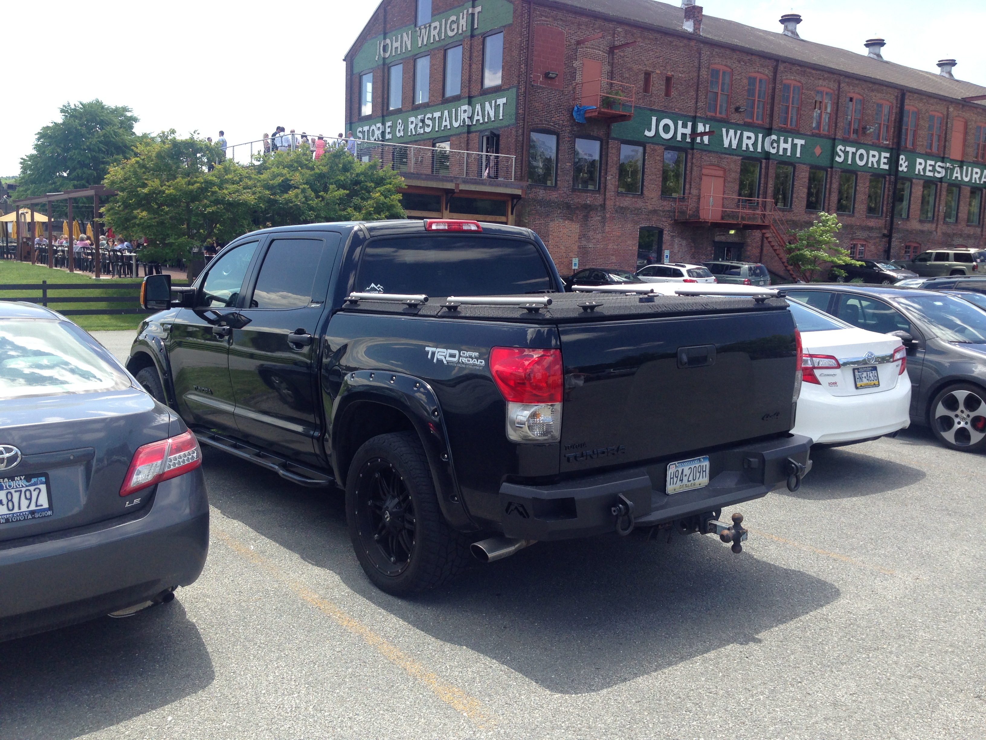
Black Toyota Tundra With Black Heavy-Duty Truck Bed Cover
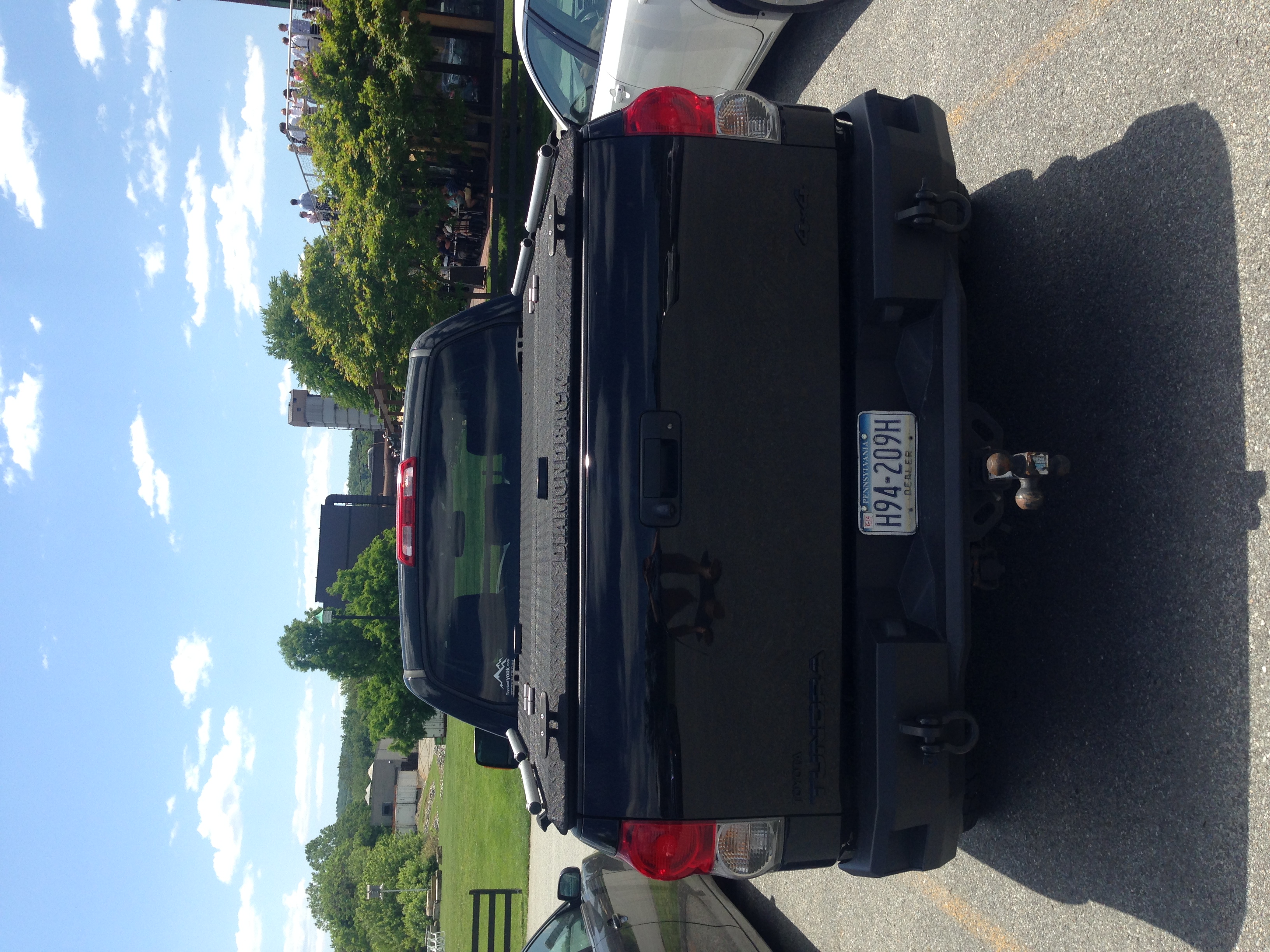
Black Toyota Tundra With Black Heavy-Duty Truck Bed Cover

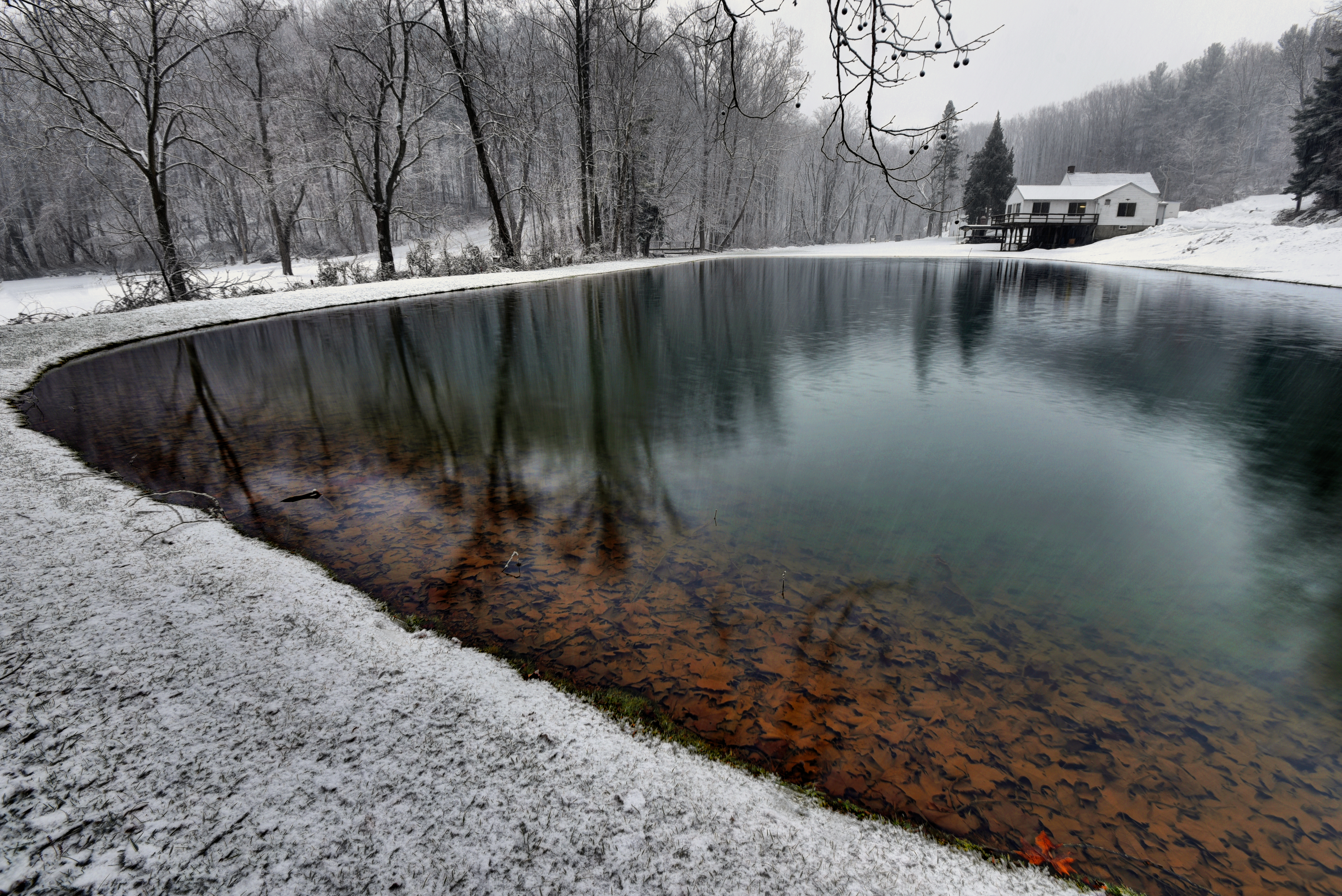
Glow of Ice on the Susquehanna

Long-eared Owl

All in stride...

A View to a Skee-Ball

Bugs eye view! NYC SD70ACe-1066 + S&A SD70ACe-1065 on W/B 591 at Columbia, PA

Getting Better...

Are you enjoying the View?

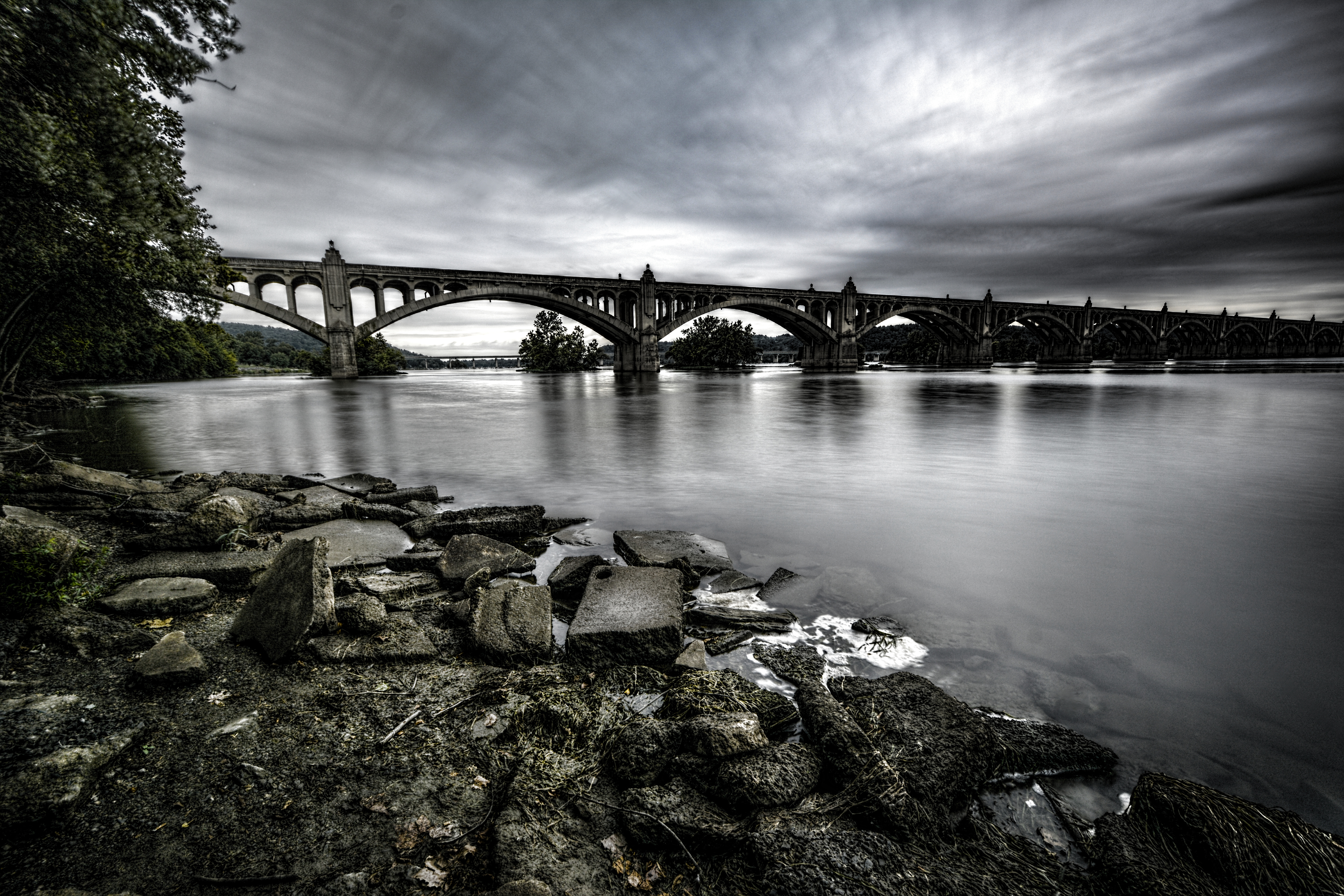
Columbia–Wrightsville Bridge

View.

Wrightsville Bridge -- the view from lunch

212.366
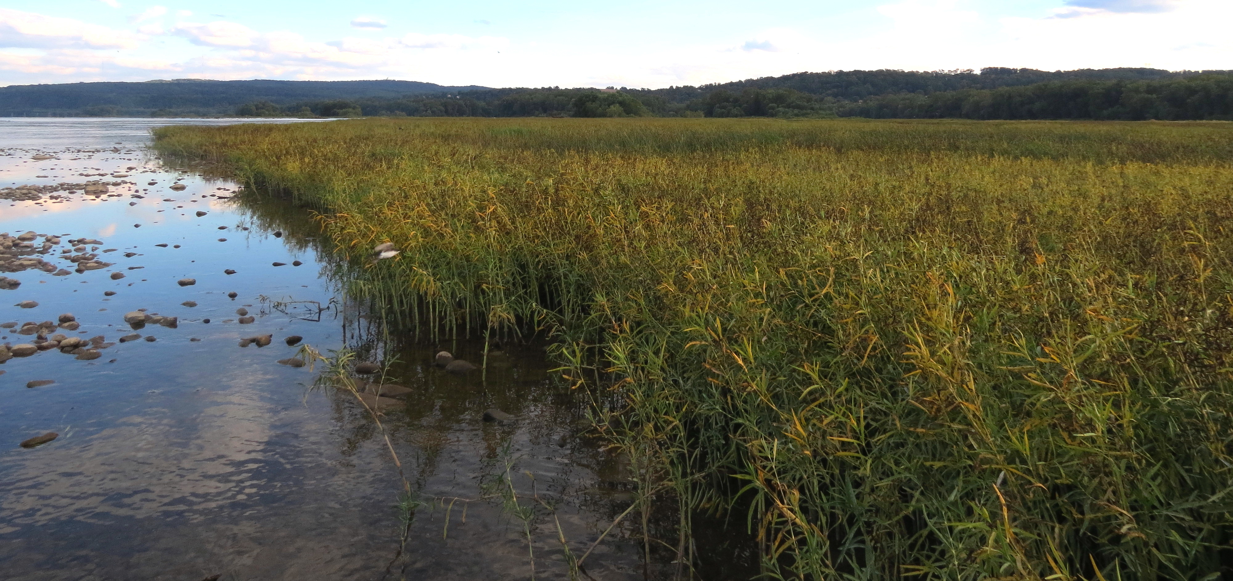
A Place By the Seaside

He is getting so big...

Looking through the grates...

Searching through the snow
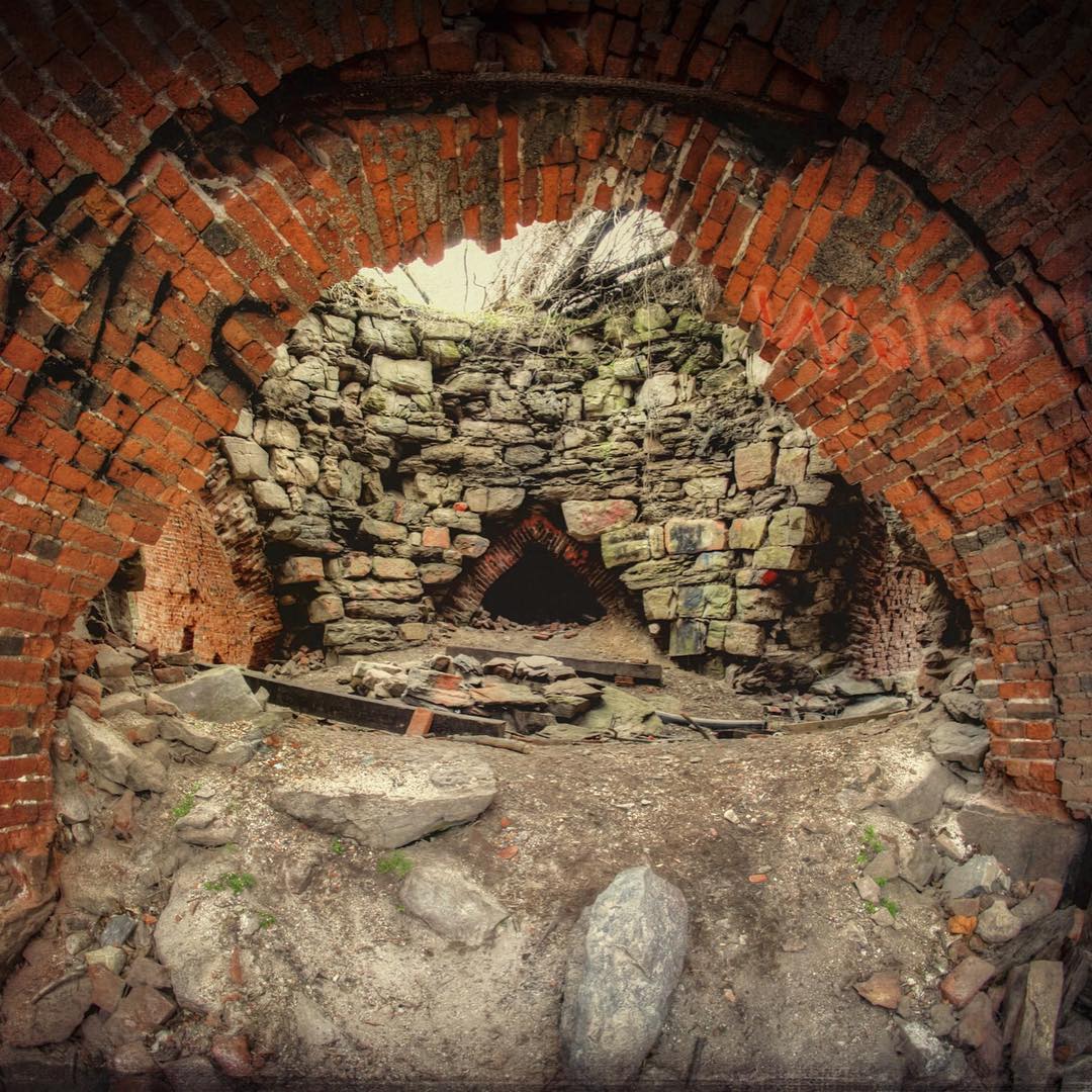
Fisheye view into the Saint Charles Furnace along the Northwest Lancaster County River Trail. This is the newest section between Columbia and Marietta. #history #lancastergram #discoverlancaster #alwayslancaster #pennlive #uncoveringpa #visit_pa #rurex #r

78: snow walk

sunset stop sign
Winter's Cabin

Columbia–Wrightsville Bridge
out standing
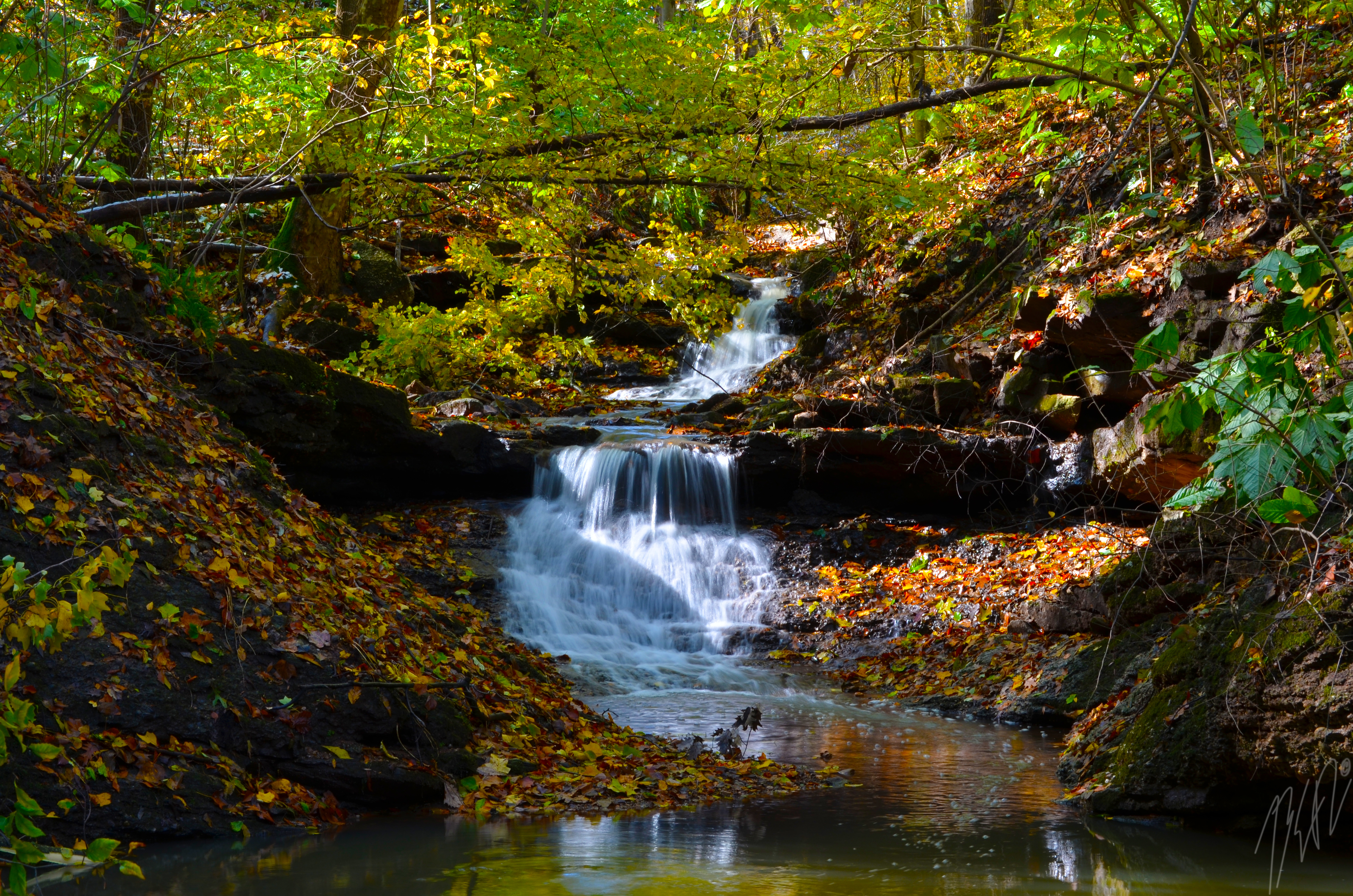
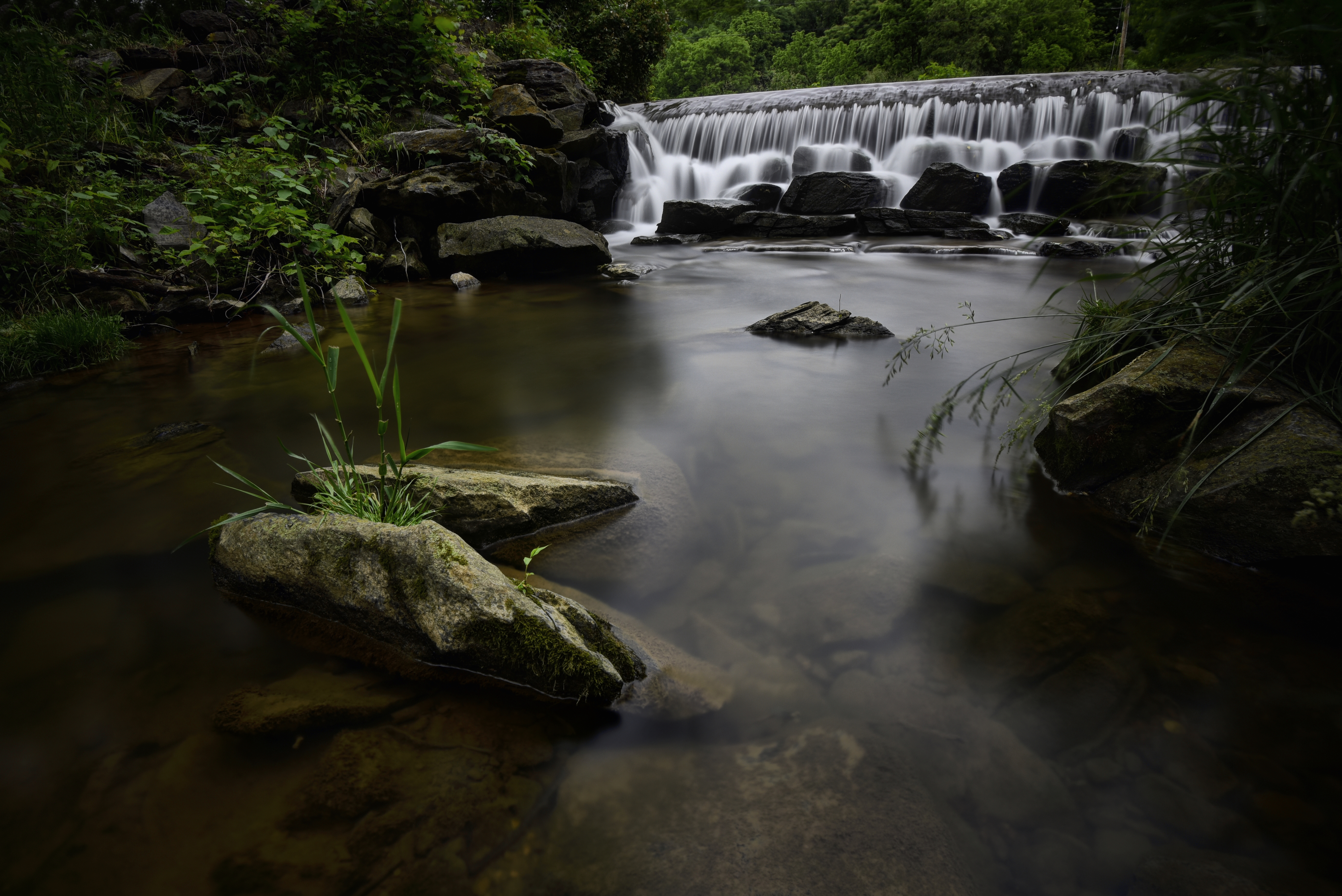
Autum Waterfall
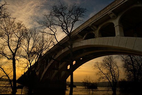
Columbia/Wrightsville Bridge 2

Wrightsville Bridge

Morning Tree
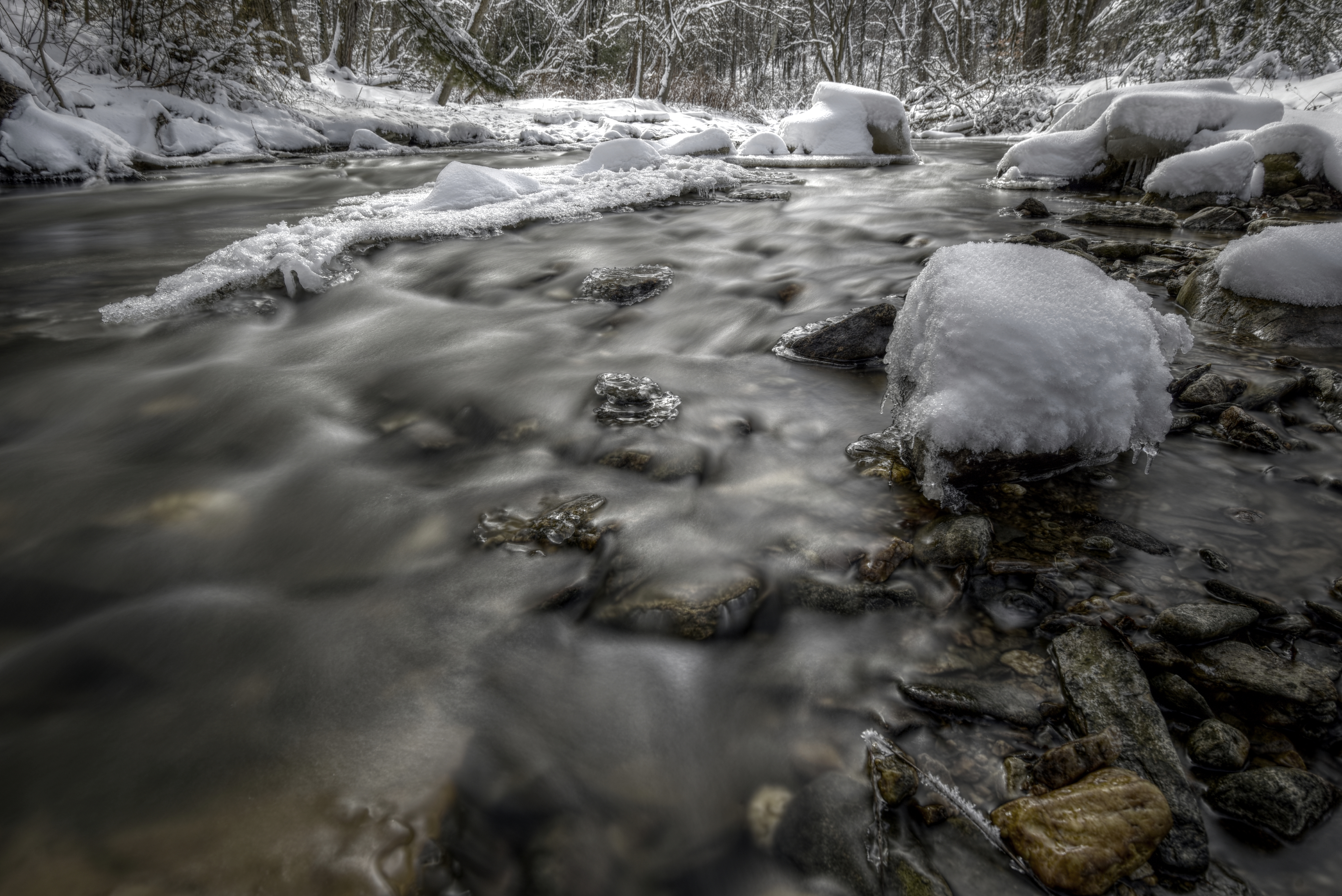
Winter Creek
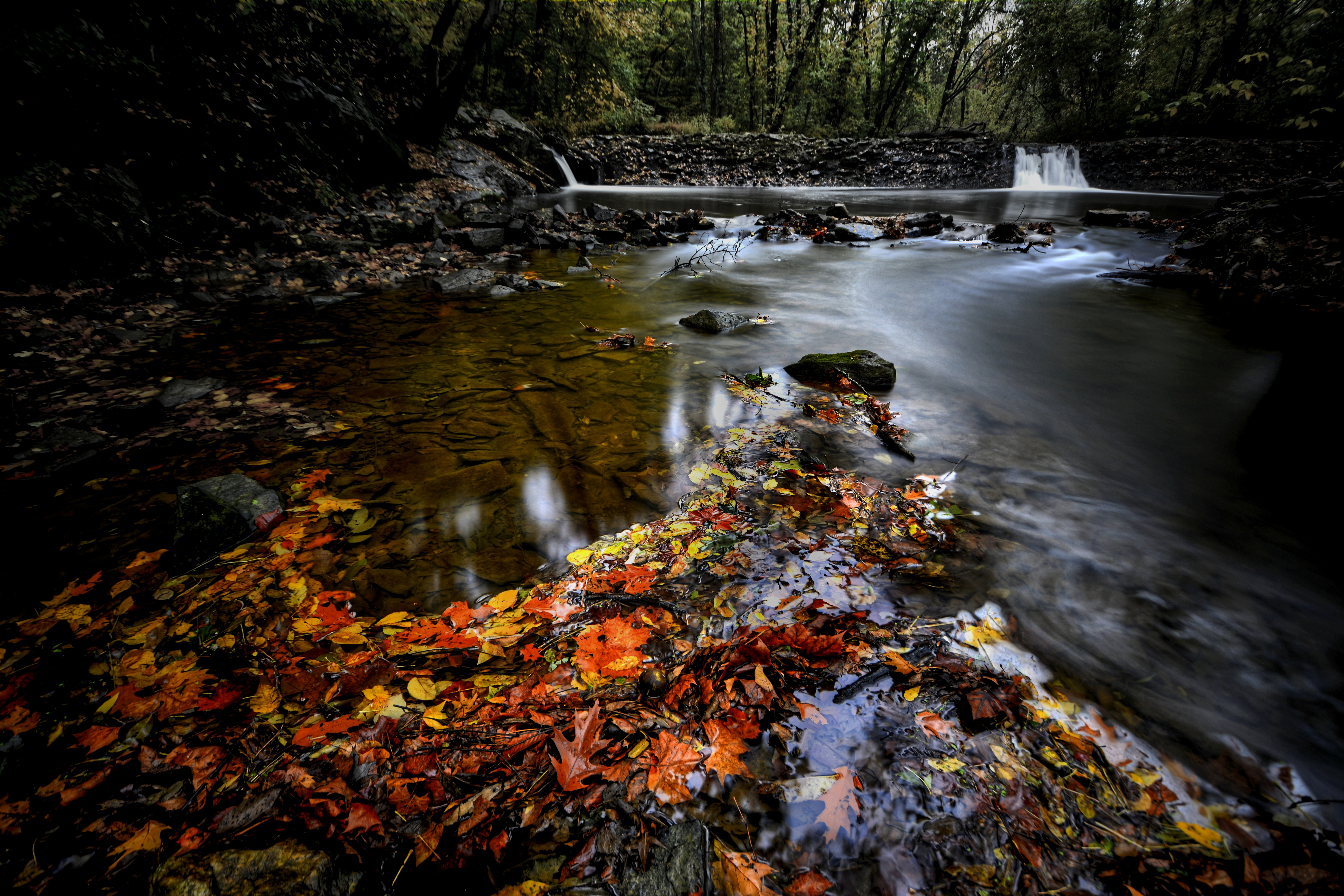
Autumn Creek
Cloudy Afternoon

First Snow

long lane
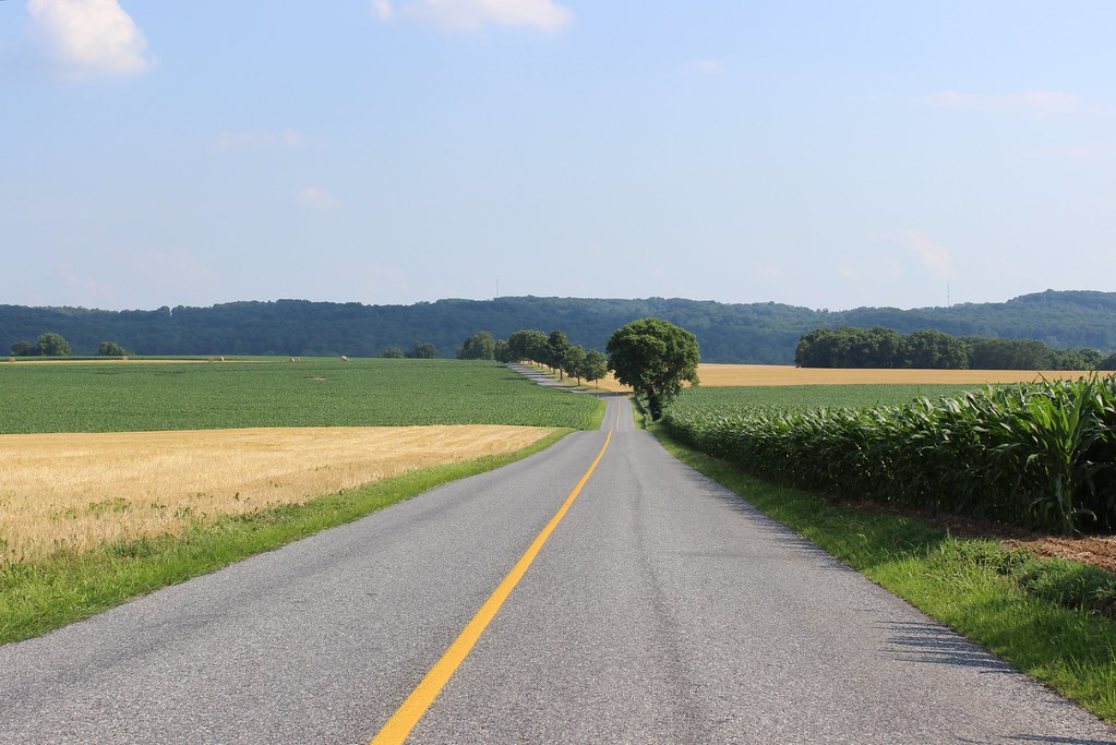
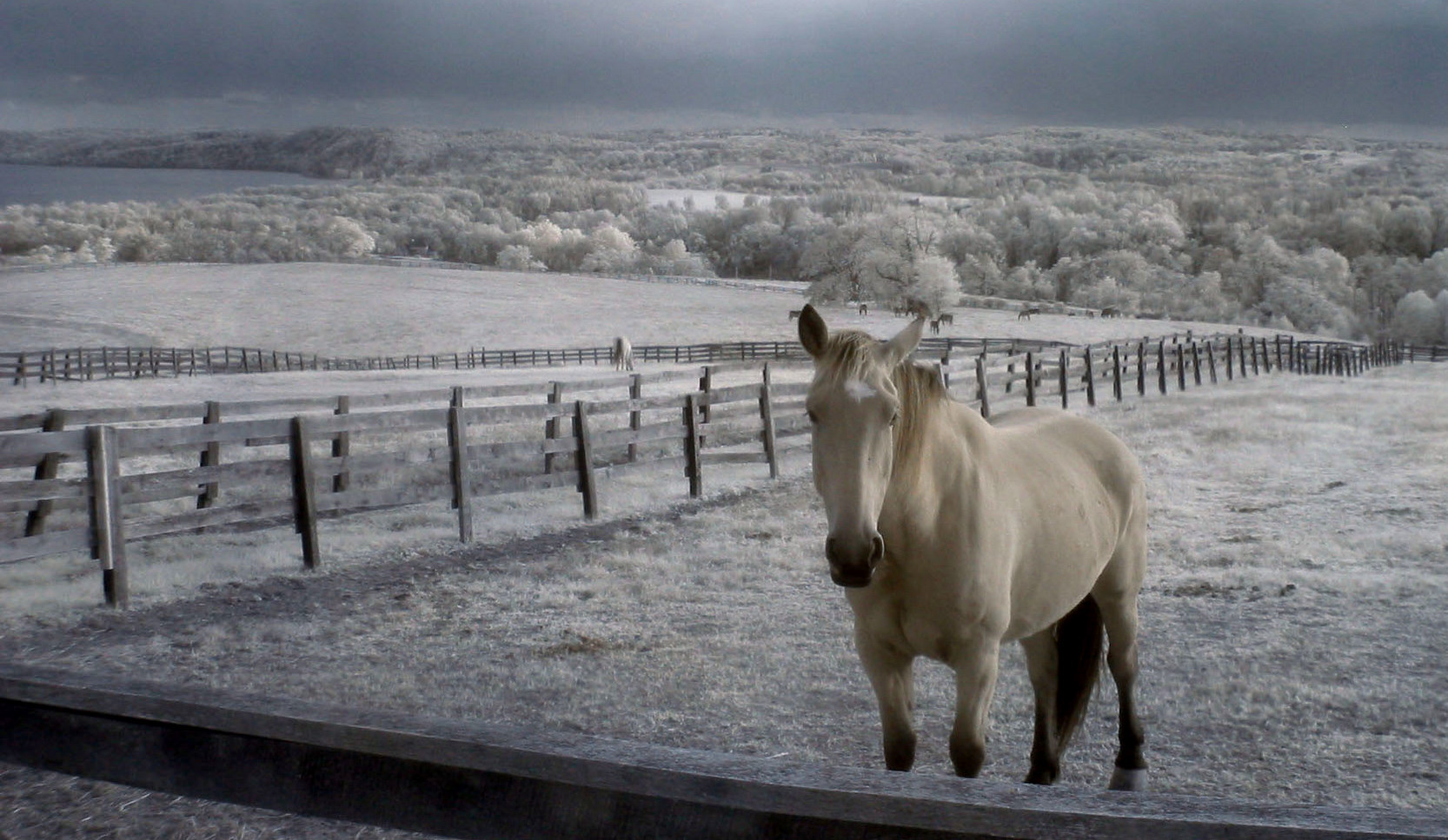
Pennsylvania Rural Landscape
Bair's Mill

Those clouds though....
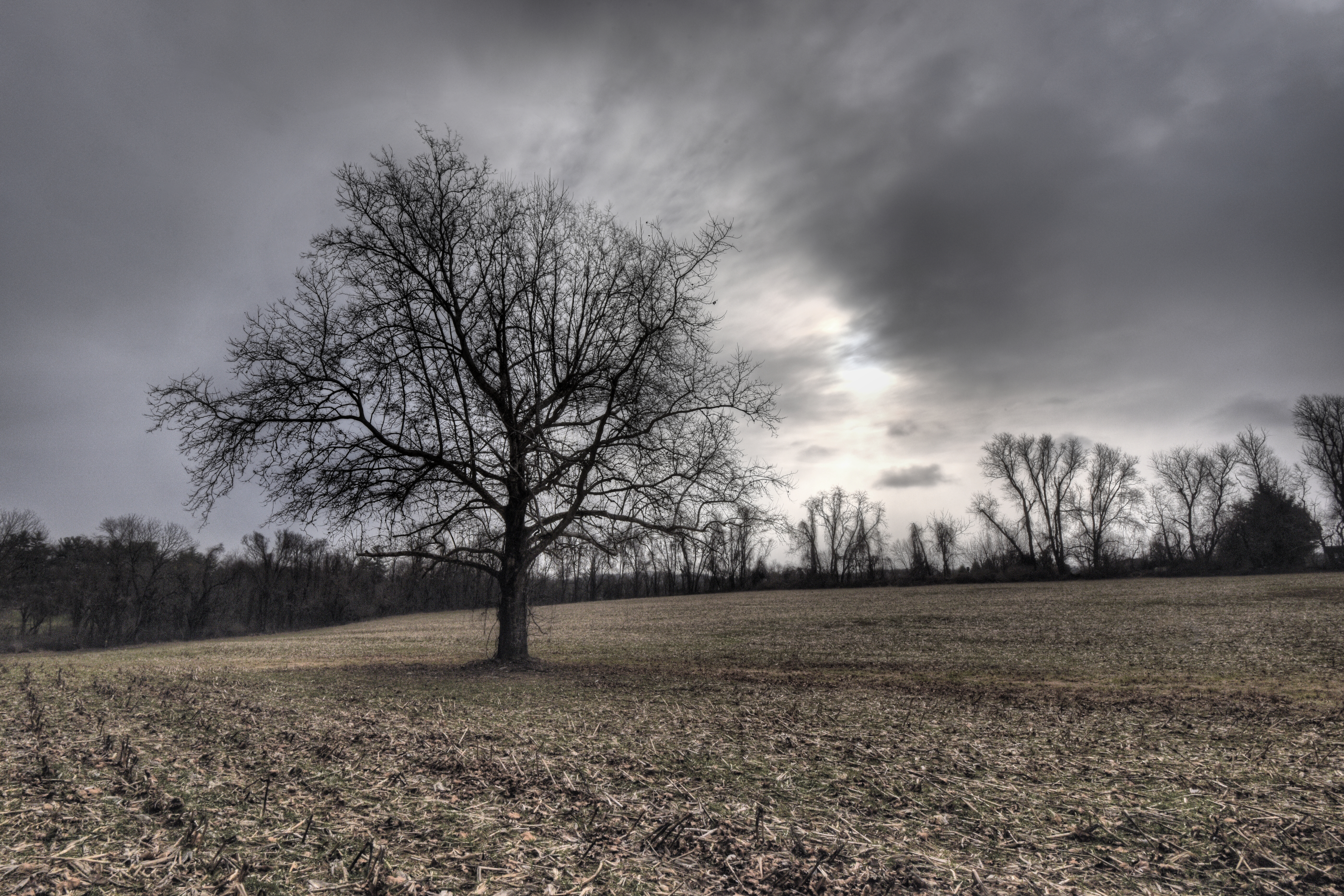
Morninng Tree
Pennsylvania Rural Landscape
Topographic Map of Wrightsville, PA, USA
Find elevation by address:

Places in Wrightsville, PA, USA:
Places near Wrightsville, PA, USA:
Hellam St, Wrightsville, PA, USA
South Front Street
202 Brook Ln
Columbia Crossing River Trails Center
Hilt Road
Highpoint Scenic Vista & Recreation Area
Columbia
Chateau Circle
Ave I, Columbia, PA, USA
17 Thoroughbred Ln
Long Ln, Columbia, PA, USA
516 Dogwood Dr
706 Kames Hill Rd
6000 Mt Pisgah Rd
Samuel S Lewis State Park
142 Honeysuckle Dr
Marietta
Kinderhook Rd, Columbia, PA, USA
5751 Mt Pisgah Rd
325 N Bridge St
Recent Searches:
- Elevation of Lampiasi St, Sarasota, FL, USA
- Elevation of Elwyn Dr, Roanoke Rapids, NC, USA
- Elevation of Congressional Dr, Stevensville, MD, USA
- Elevation of Bellview Rd, McLean, VA, USA
- Elevation of Stage Island Rd, Chatham, MA, USA
- Elevation of Shibuya Scramble Crossing, 21 Udagawacho, Shibuya City, Tokyo -, Japan
- Elevation of Jadagoniai, Kaunas District Municipality, Lithuania
- Elevation of Pagonija rock, Kranto 7-oji g. 8"N, Kaunas, Lithuania
- Elevation of Co Rd 87, Jamestown, CO, USA
- Elevation of Tenjo, Cundinamarca, Colombia