Elevation of Wrights Chapel Rd, Sumner, GA, USA
Location: United States > Georgia > Worth County > Sumner >
Longitude: -83.775050
Latitude: 31.3936638
Elevation: 90m / 295feet
Barometric Pressure: 100KPa
Elevation Map:
Satellite Map:
Related Photos:

Nightfall - HFF

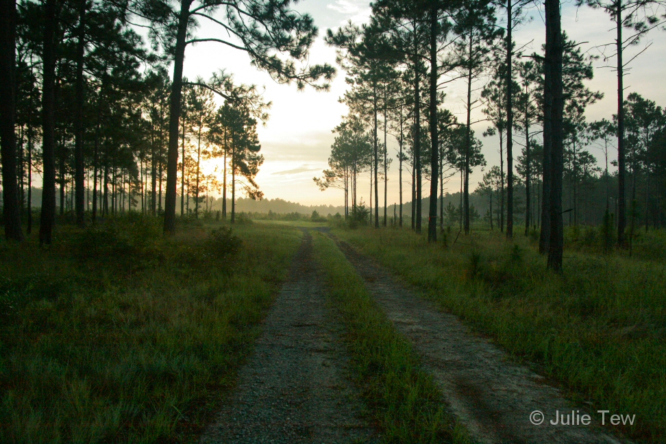
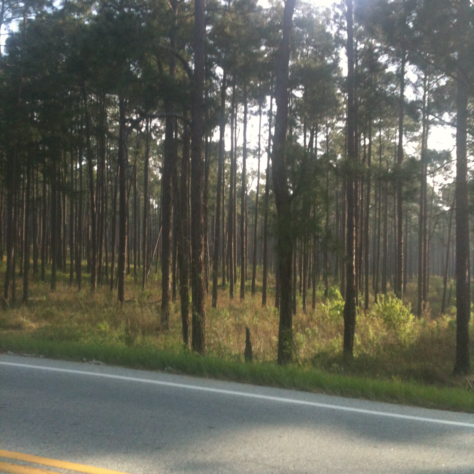
Misty Morning in the Pinelands

Misty Morning in the Pinelands
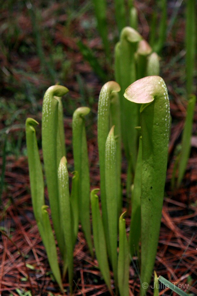
Hooded Pitchers
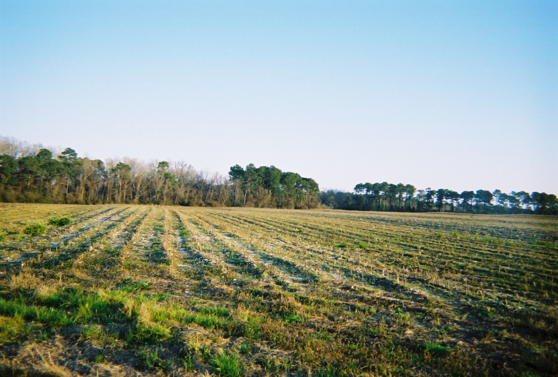
More Dawn
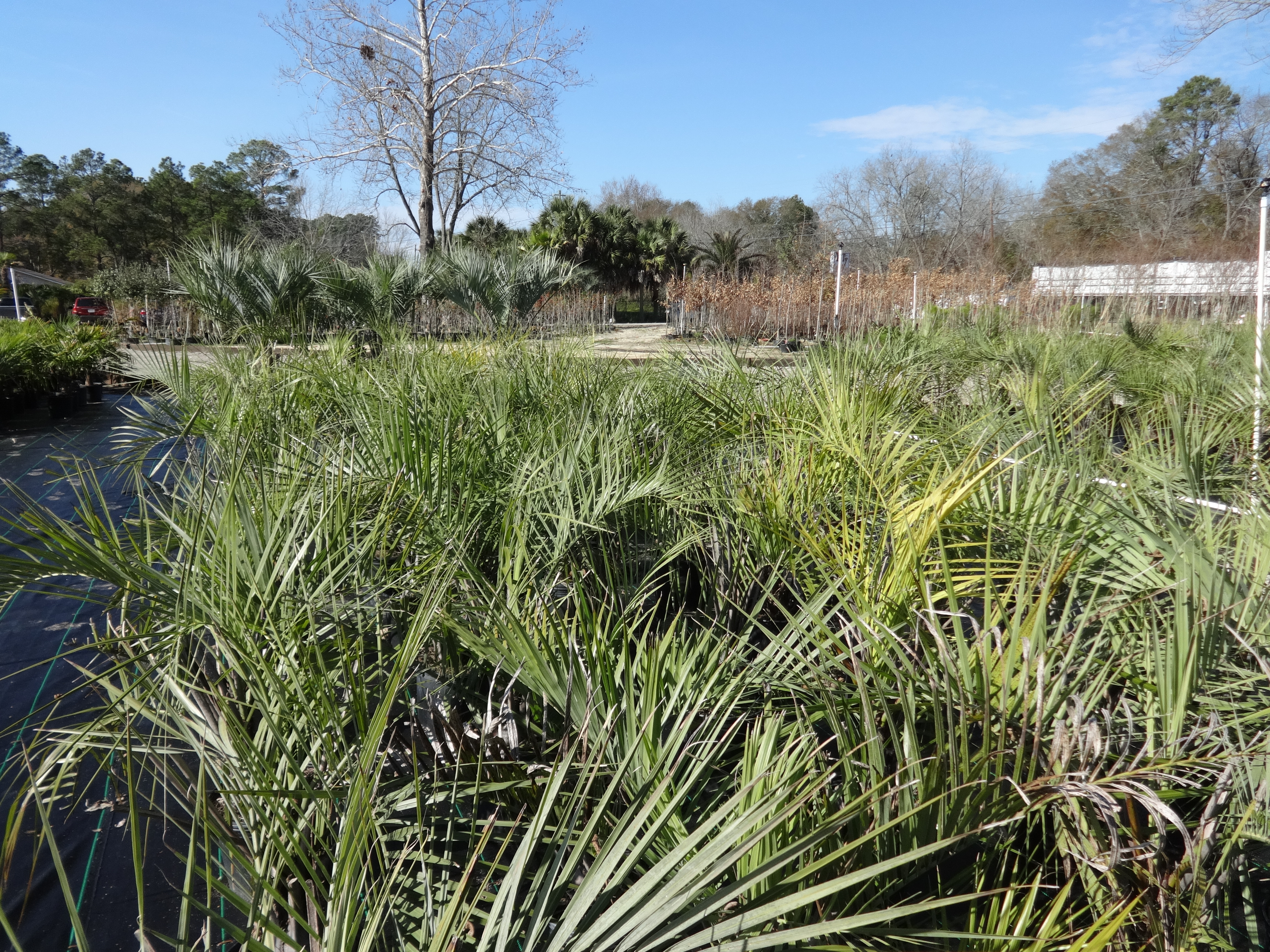
Ty Ty Nursery, various 1
Hooded Pitcher Plants

Dewy Dawn

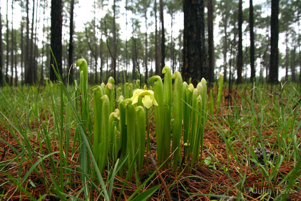
Doerun Pitcher Plant Bog

#iphoneography #horses #sunrise
Last Day (2)
575413-R1-09-8A_010
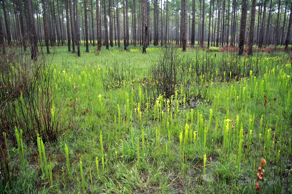
Doerun Pitcher Plant Bog

Trail?
Topographic Map of Wrights Chapel Rd, Sumner, GA, USA
Find elevation by address:

Places near Wrights Chapel Rd, Sumner, GA, USA:
2951 Ga-33
2951 Ga-33
GA-, Sumner, GA, USA
GA-33, Sylvester, GA, USA
6287 Ga-33
Poulan
Sumner
U.s. 319
Sylvester
E Franklin St, Sylvester, GA, USA
Ty Ty
Norman Park
104 Holly St
Doerun
GA-, Doerun, GA, USA
Worth County
Alabama Ave, Omega, GA, USA
Omega
1518 Shingler Little River Rd
4427 Ga-112
Recent Searches:
- Elevation of Elwyn Dr, Roanoke Rapids, NC, USA
- Elevation of Congressional Dr, Stevensville, MD, USA
- Elevation of Bellview Rd, McLean, VA, USA
- Elevation of Stage Island Rd, Chatham, MA, USA
- Elevation of Shibuya Scramble Crossing, 21 Udagawacho, Shibuya City, Tokyo -, Japan
- Elevation of Jadagoniai, Kaunas District Municipality, Lithuania
- Elevation of Pagonija rock, Kranto 7-oji g. 8"N, Kaunas, Lithuania
- Elevation of Co Rd 87, Jamestown, CO, USA
- Elevation of Tenjo, Cundinamarca, Colombia
- Elevation of Côte-des-Neiges, Montreal, QC H4A 3J6, Canada