Elevation of Wrayswood Rd, Watkinsville, GA, USA
Location: United States > Georgia > Greene County >
Longitude: -83.312466
Latitude: 33.688425
Elevation: 159m / 522feet
Barometric Pressure: 99KPa
Elevation Map:
Satellite Map:
Related Photos:

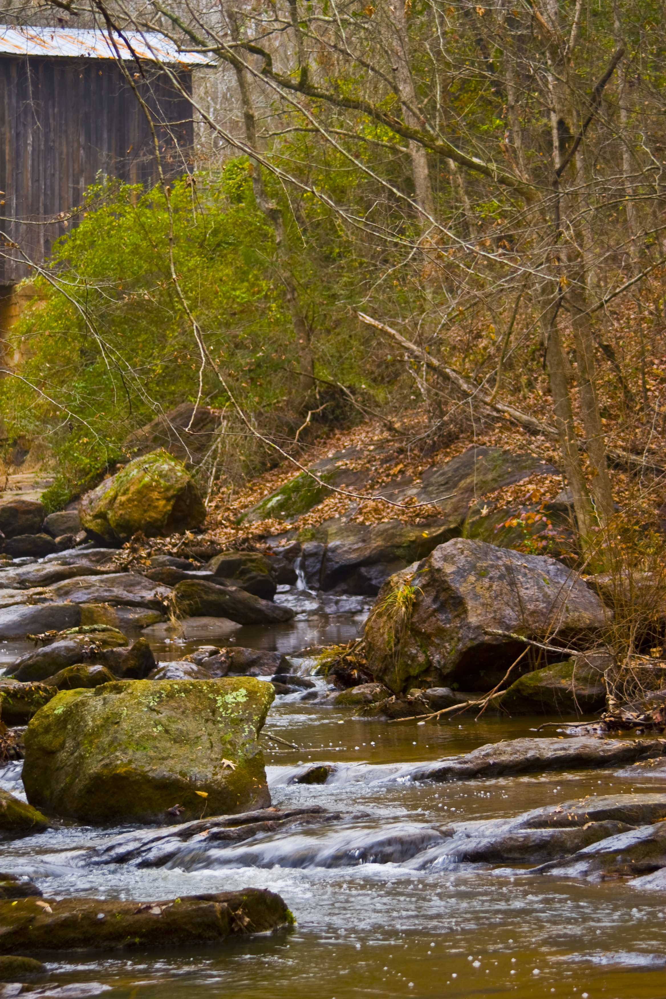
Covered Crossing
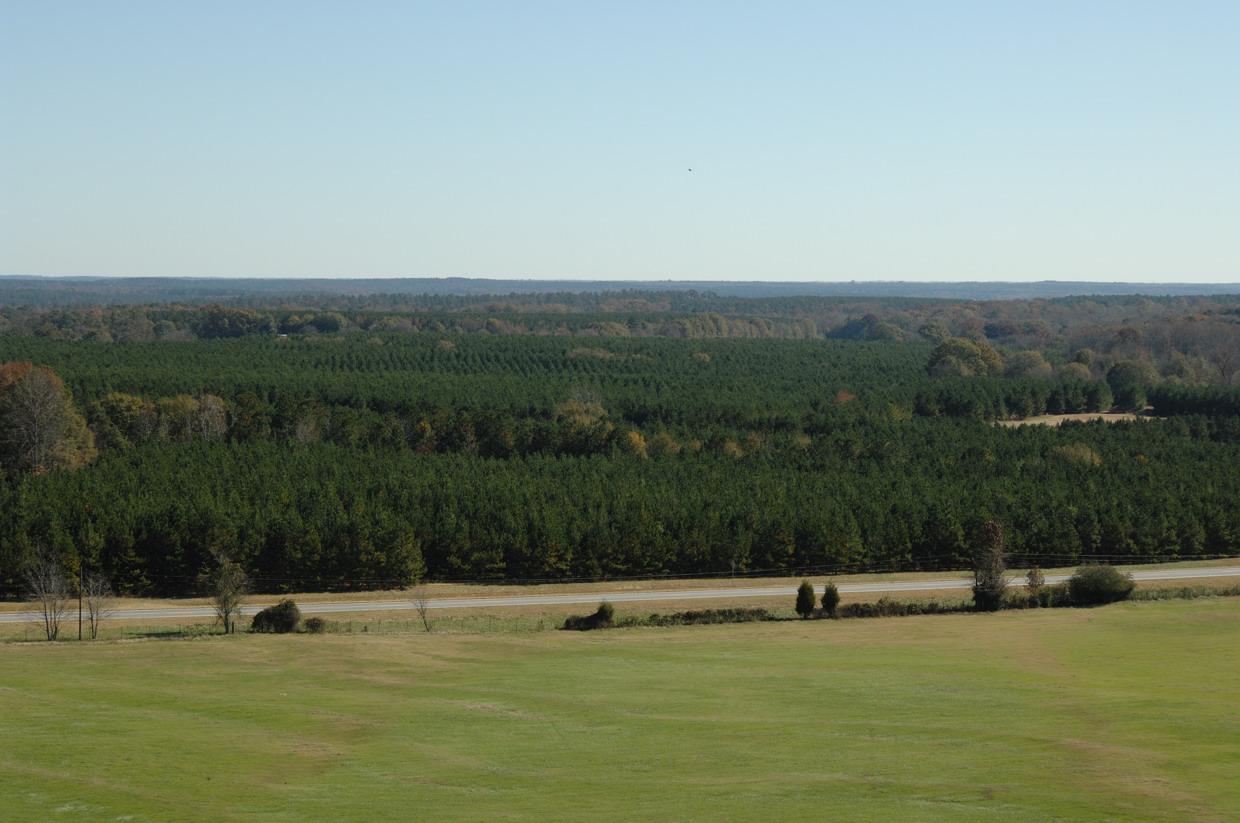
View from the top
3.194 + 3 Frames
Watkinsville Clouds
Watkinsville Etc-21
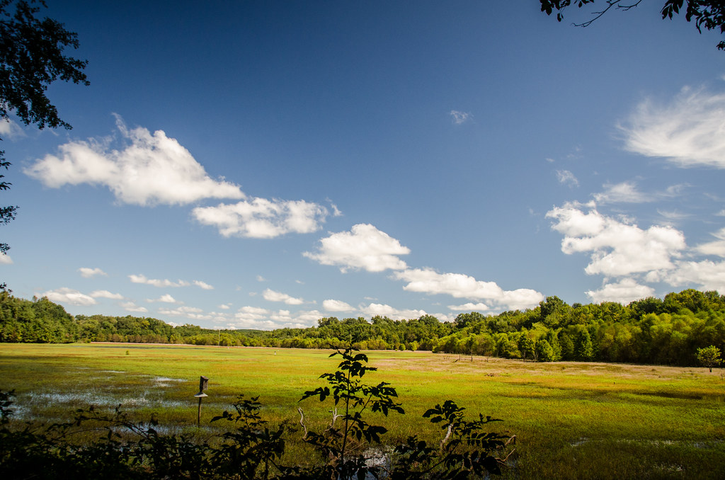
Dyar Pasture Wetlands
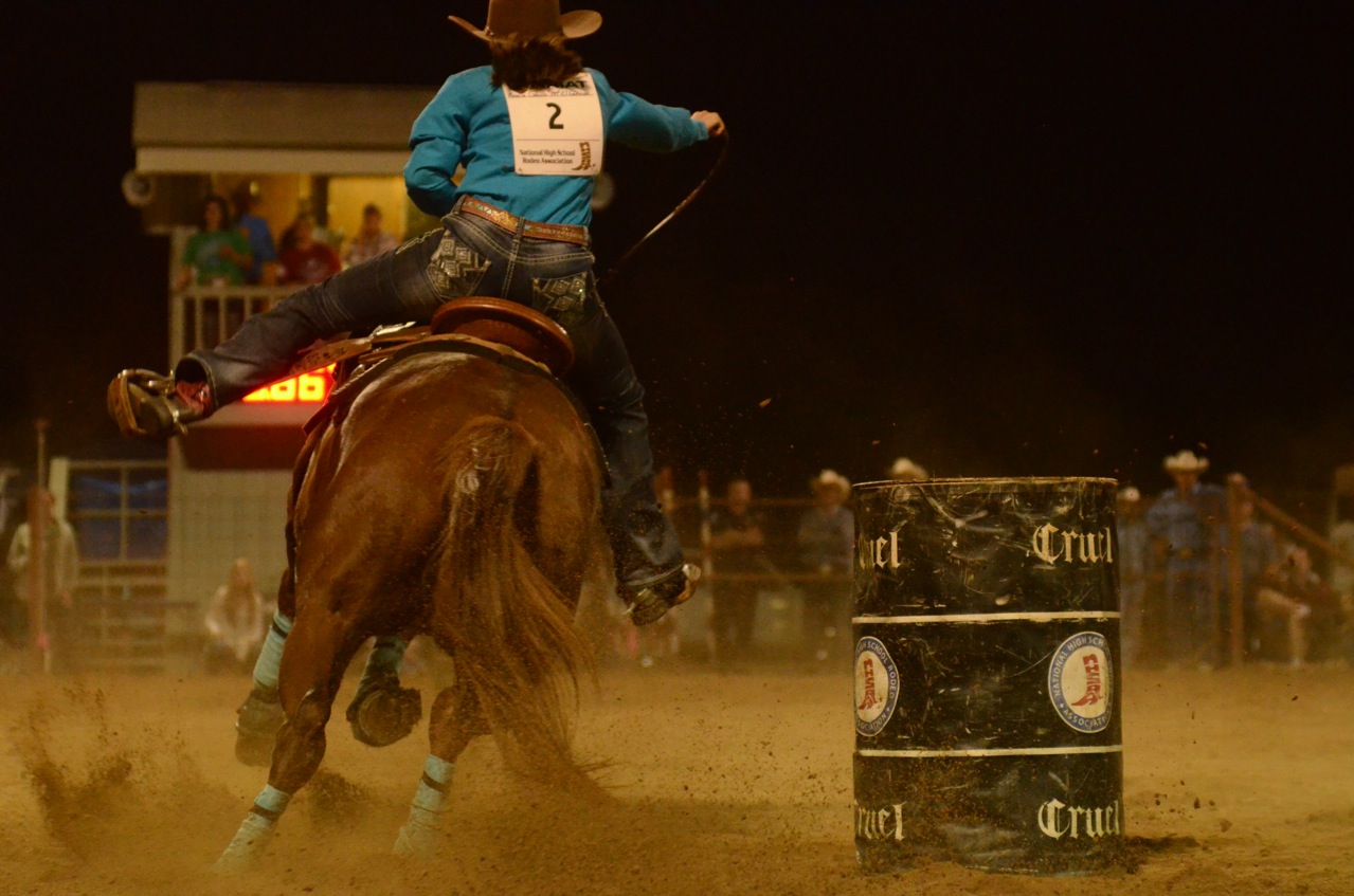
Iron Horse-002

Dyar Pasture Wetlands
Oconee River, Stone Toll Bridge Pier, Scull Shoals Historic Recreation Area, Oconee National Forest, Greene County, Georgia 1
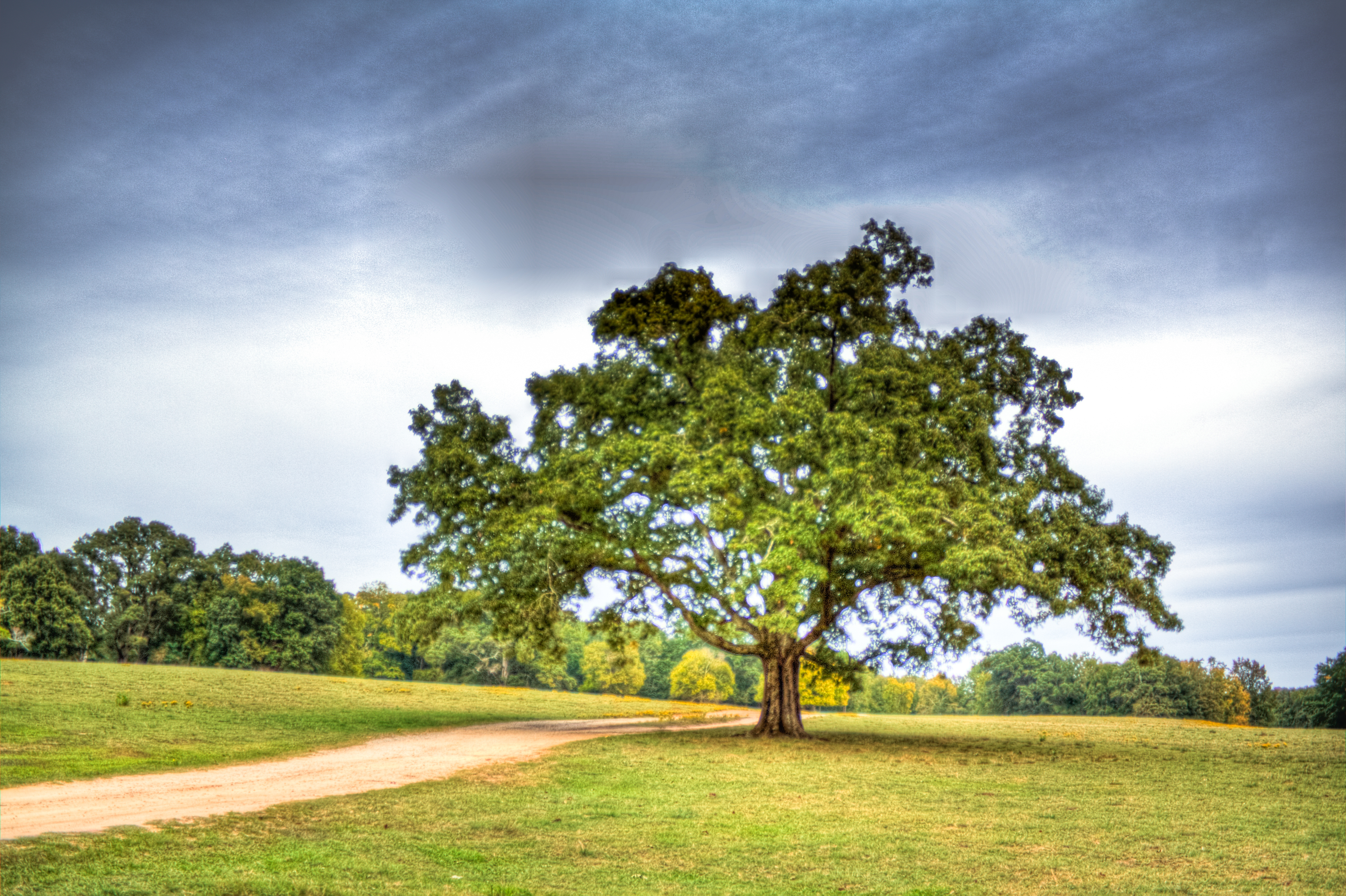
Oak Tree
Elder Mill Covered Bridge
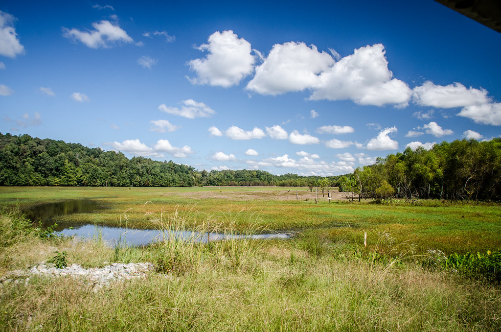
Dyar Pasture Wetlands
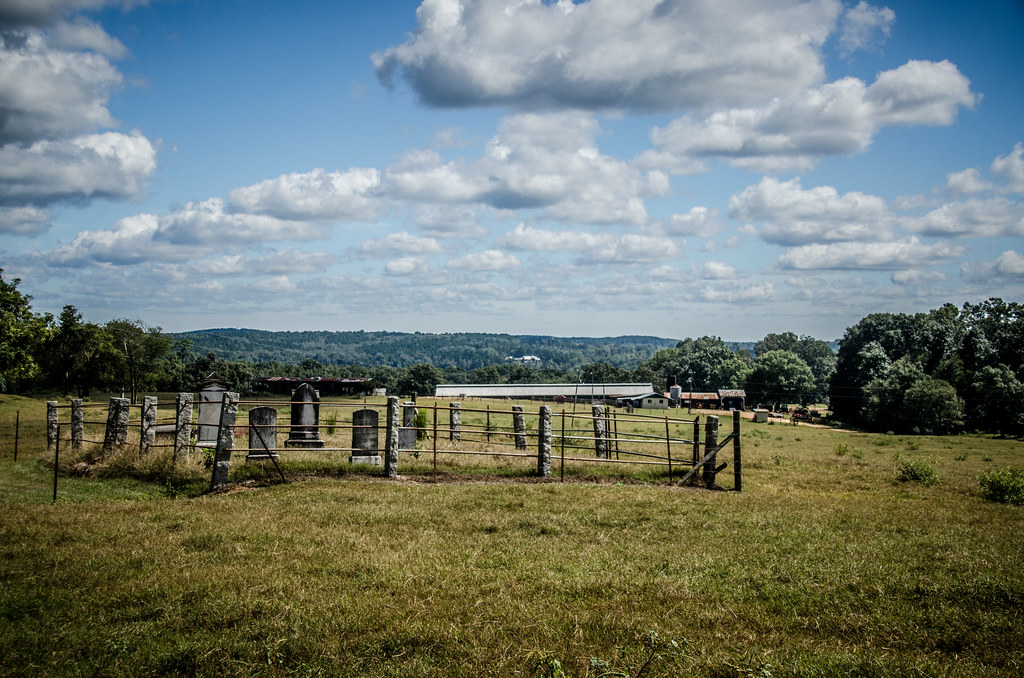
Family Farm Cemetery
Full Frame Sky Test
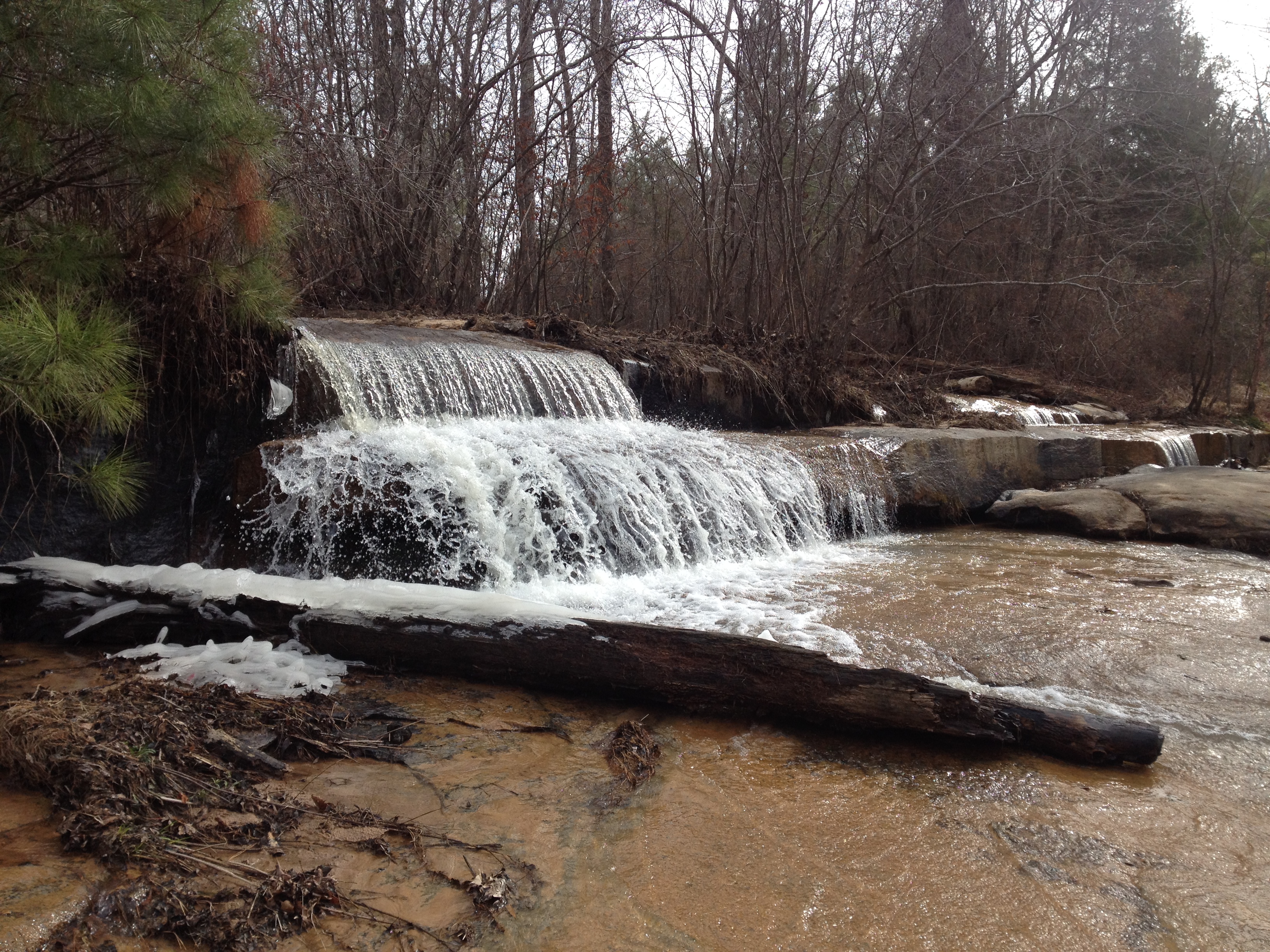
Falling Creek Falls
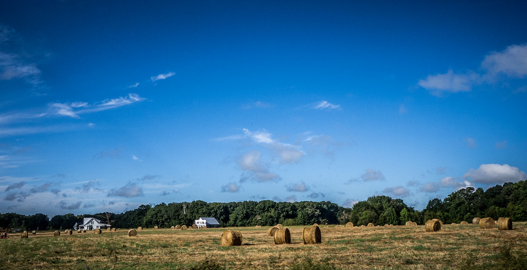
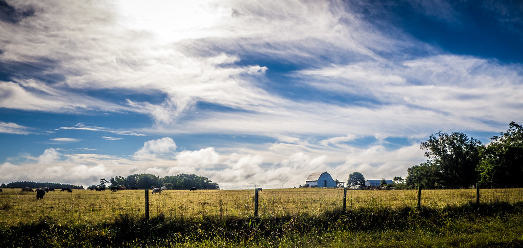
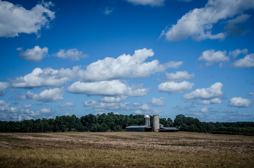
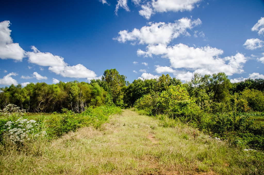
Watkinsville Farmland
"As long as I live, I'll hear waterfalls and birds and winds sing. I'll interpret the rocks, learn the language of flood, storm, and the avalanche. I'll acquaint myself with the glaciers and wild gardens, and get as near the heart of the world as I can" -
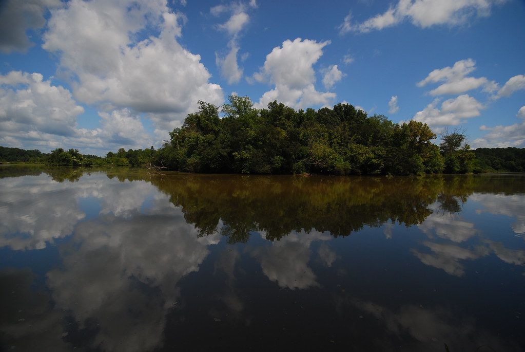
oconee river at dyars pasture
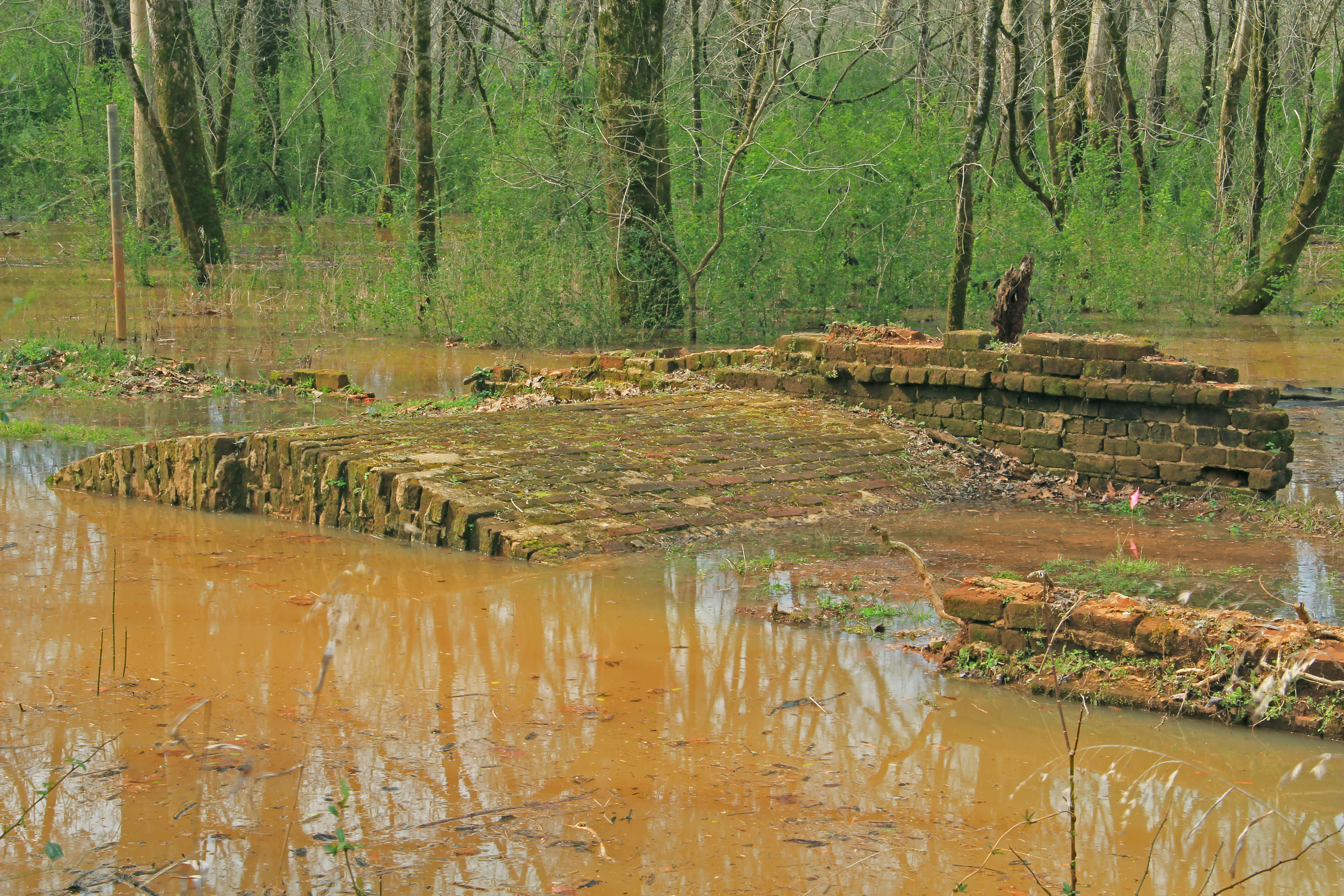
Dyar Pasture Dike
Arched Bridge, Scull Shoals Historic Site, Oconee National Forest, Greene County, Georgia 1

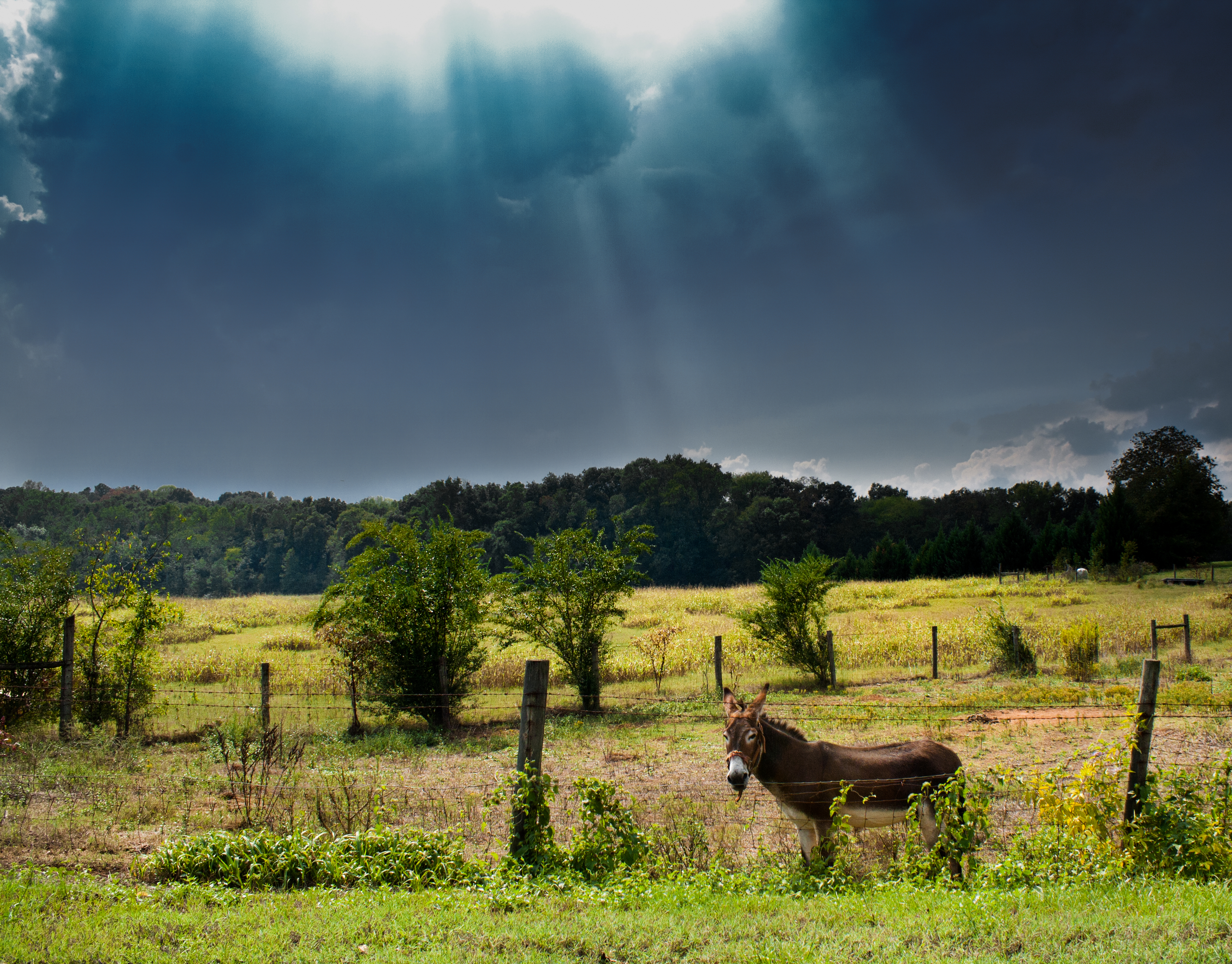
Iron Horse
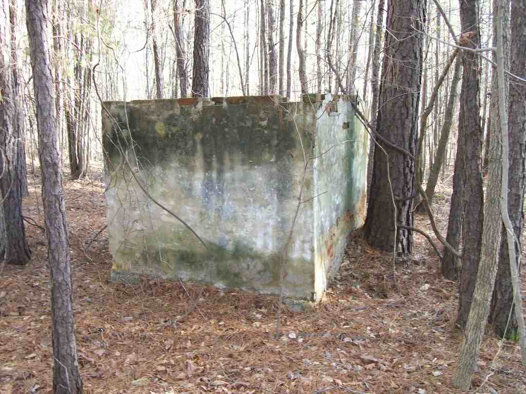
rear of well pump and hot water heater building
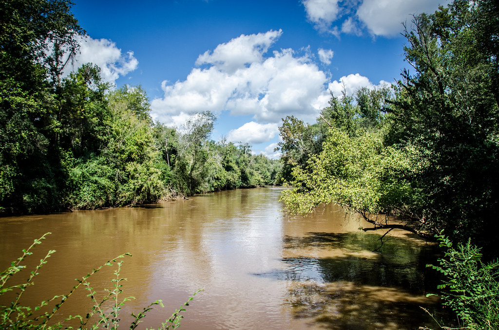
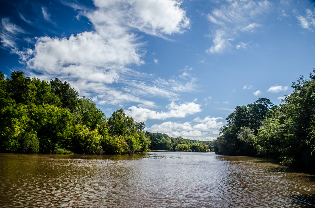
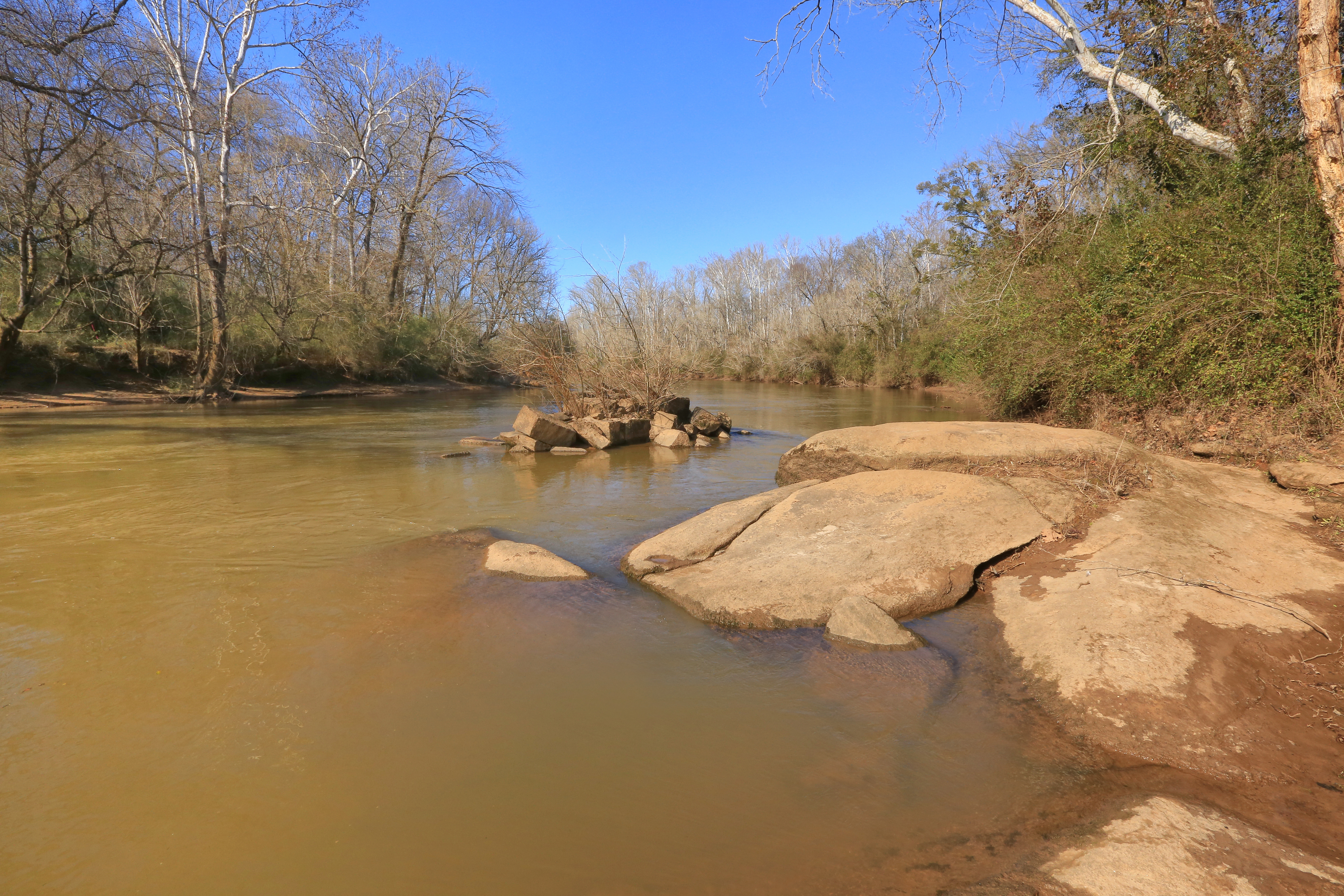
Oconee River - Watkinsville
Topographic Map of Wrayswood Rd, Watkinsville, GA, USA
Find elevation by address:

Places near Wrayswood Rd, Watkinsville, GA, USA:
Little Creek Baptist Church
Hale Rd, Watkinsville, GA, USA
5290 Madison Hwy
1661 Northwoods Dr
1271 Northwoods Dr
Lower Apalachee Rd, Madison, GA, USA
Buckhead
4125 Buckhead Rd
Penfield Rd, Union Point, GA, USA
3711 Parks Mill Rd
Old Eatonton Rd, Greensboro, GA, USA
Greensboro
Jimmy Britt Chevrolet Buick Gmc
574 Sycamore St
Pool Ave, Greensboro, GA, USA
Madison
N Main St, Madison, GA, USA
2972 Union Point Rd
Morgan County
Parks Mill Rd, Buckhead, GA, USA
Recent Searches:
- Elevation of Côte-des-Neiges, Montreal, QC H4A 3J6, Canada
- Elevation of Bobcat Dr, Helena, MT, USA
- Elevation of Zu den Ihlowbergen, Althüttendorf, Germany
- Elevation of Badaber, Peshawar, Khyber Pakhtunkhwa, Pakistan
- Elevation of SE Heron Loop, Lincoln City, OR, USA
- Elevation of Slanický ostrov, 01 Námestovo, Slovakia
- Elevation of Spaceport America, Co Rd A, Truth or Consequences, NM, USA
- Elevation of Warwick, RI, USA
- Elevation of Fern Rd, Whitmore, CA, USA
- Elevation of 62 Abbey St, Marshfield, MA, USA