Elevation of Woodville Rd, Woodville, ME, USA
Location: United States > Maine > Penobscot County > Woodville >
Longitude: -68.482625
Latitude: 45.4841824
Elevation: 107m / 351feet
Barometric Pressure: 100KPa
Elevation Map:
Satellite Map:
Related Photos:

Looking Up the Penobscot River

Looking Up the Penobscot River
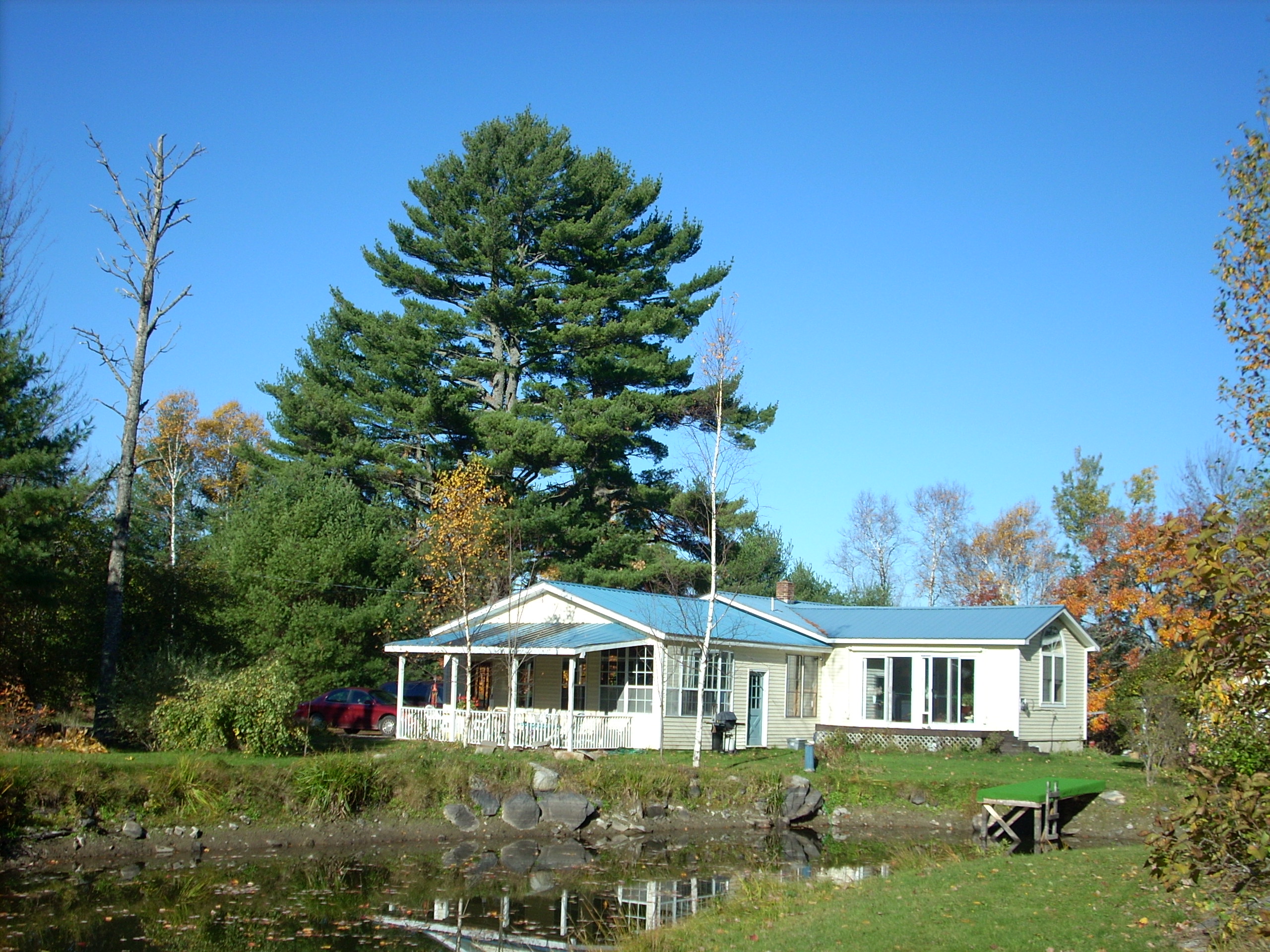
View from the pond at Mom and Dad's

Into the Sun

Penobscot River

Reflections on a rural pond

Varied Thrush - Chester, ME 12/05/2014

2011 08 24 165338

2011 08 24 165426

2011 08 24 165250
Topographic Map of Woodville Rd, Woodville, ME, USA
Find elevation by address:

Places near Woodville Rd, Woodville, ME, USA:
Woodville
10 Sweet Rd, Lincoln, ME, USA
Chester
Butterfield Ridge Road
S Chester Rd, Chester, ME, USA
117 Mackenzie Ave
Lincoln
Lincoln
Lincoln
Medway
77 Powersville Rd
99 River Rd
Powersville Road
Winn
Transalpine Rd, Lincoln, ME, USA
5 Church St, East Millinocket, ME, USA
800 Transalpine Rd
10 Collins Point Rd
39 Old E Winn Rd, Winn, ME, USA
Enfield Road
Recent Searches:
- Elevation of Corso Fratelli Cairoli, 35, Macerata MC, Italy
- Elevation of Tallevast Rd, Sarasota, FL, USA
- Elevation of 4th St E, Sonoma, CA, USA
- Elevation of Black Hollow Rd, Pennsdale, PA, USA
- Elevation of Oakland Ave, Williamsport, PA, USA
- Elevation of Pedrógão Grande, Portugal
- Elevation of Klee Dr, Martinsburg, WV, USA
- Elevation of Via Roma, Pieranica CR, Italy
- Elevation of Tavkvetili Mountain, Georgia
- Elevation of Hartfords Bluff Cir, Mt Pleasant, SC, USA