Elevation of Woodville Ln, Gautier, MS, USA
Location: United States > Mississippi > Jackson County > Gautier >
Longitude: -88.642168
Latitude: 30.4675452
Elevation: 6m / 20feet
Barometric Pressure: 101KPa
Elevation Map:
Satellite Map:
Related Photos:
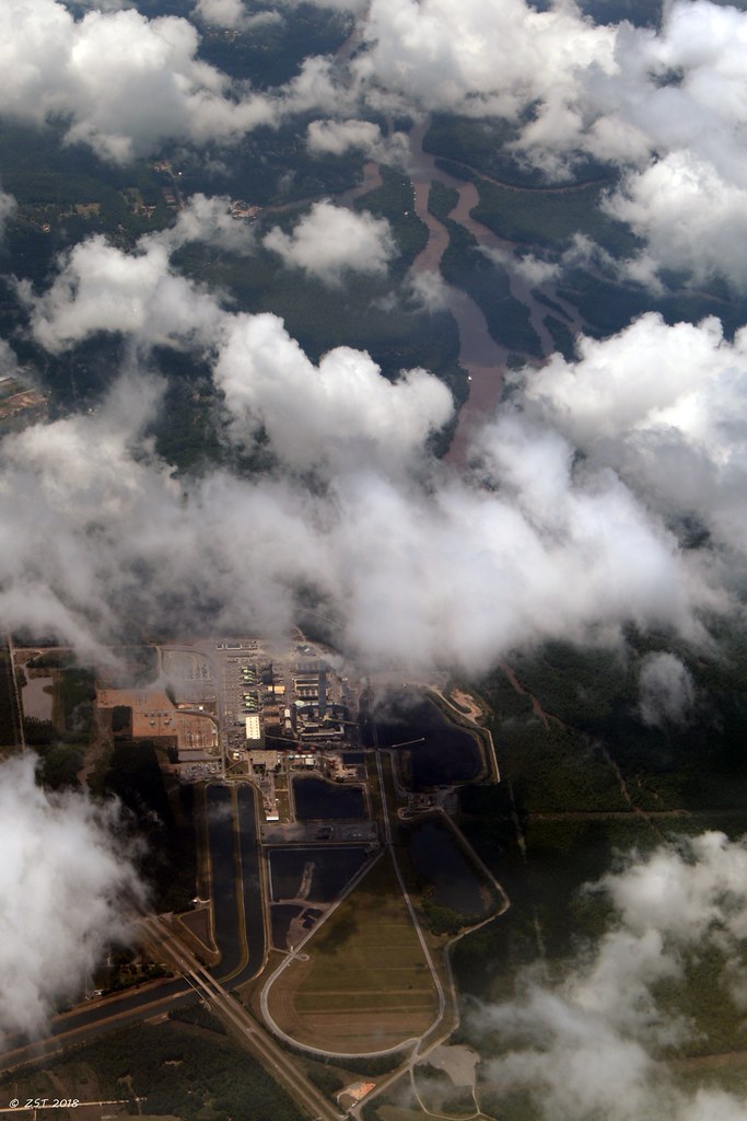
Plant Daniel, Mississippi Power
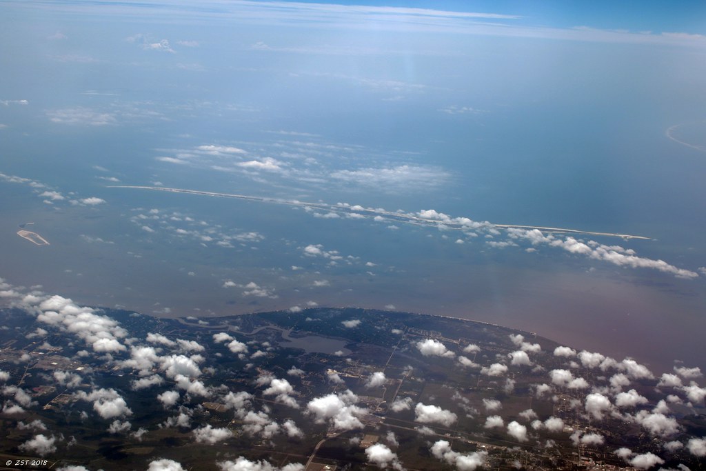
Bellefontaine Marsh & Horn Island

Beach.jpg

view 8.jpg

#PascagoulaRiverBridge #Mississippi

view 3.jpg
Beach Ocean Sky
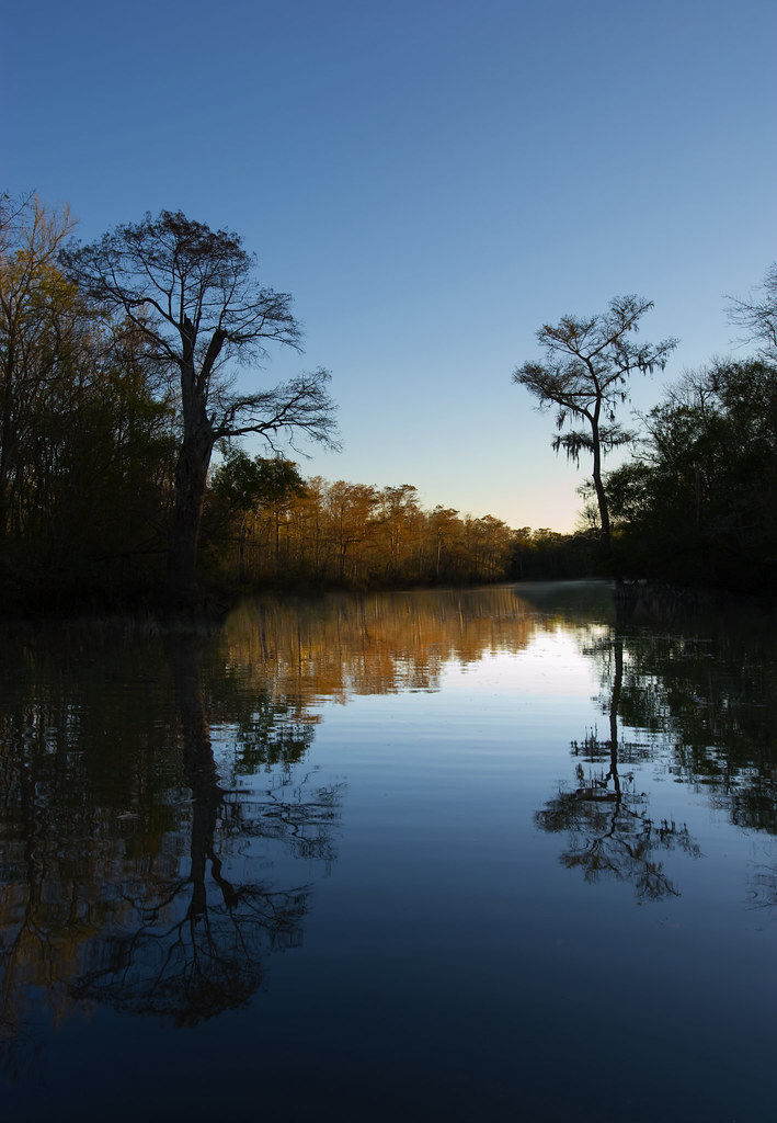
ir cypress swamp 2

Cedar Point
Jonican Bayou

Sun Clouds Beach
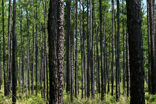
Coastal Pines

Mississippi Gulf coast
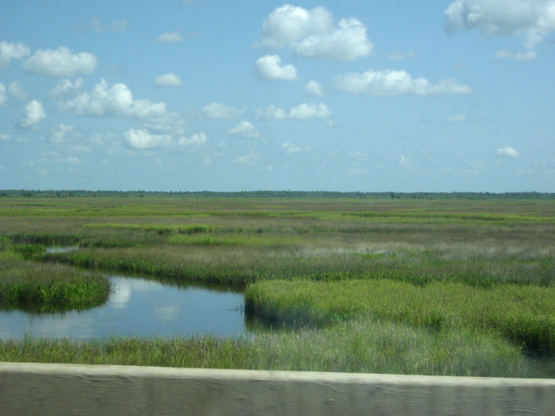
Gulf Coast Marshland

_DSC8621.jpg
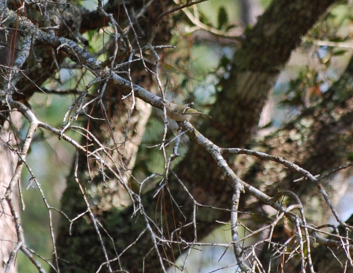
ruby crowned kinglet
a tempting fate bulkhead IMG_7645

33/365 The lonely ones Landscape
New Orleans - 111
Krebs-de la Pointe House
Sad to leave work and see this on a Friday
Topographic Map of Woodville Ln, Gautier, MS, USA
Find elevation by address:

Places near Woodville Ln, Gautier, MS, USA:
2102 Hemlock Dr
2100 Millcreek Dr
1909 Shady Point Cir
1505 Magnolia Bluff Dr
9101 Castelle Bluff Dr
9108 Castelle Bluff Dr
7220 Martin Bluff Rd
7224 Martin Bluff Rd
10009 Islewood Dr
5711 Dead River Rd
11401 Paige Bayou Rd
5000 Oakridge Ln
2009 Westgate Pkwy
12840 Paige Bayou Rd
5500 Brown Rd
4801 Old Dees Dr
Vancleave
MS-57, Vancleave, MS, USA
2900 Holden Dr
13105 Little Bluff Dr
Recent Searches:
- Elevation of Tenjo, Cundinamarca, Colombia
- Elevation of Côte-des-Neiges, Montreal, QC H4A 3J6, Canada
- Elevation of Bobcat Dr, Helena, MT, USA
- Elevation of Zu den Ihlowbergen, Althüttendorf, Germany
- Elevation of Badaber, Peshawar, Khyber Pakhtunkhwa, Pakistan
- Elevation of SE Heron Loop, Lincoln City, OR, USA
- Elevation of Slanický ostrov, 01 Námestovo, Slovakia
- Elevation of Spaceport America, Co Rd A, Truth or Consequences, NM, USA
- Elevation of Warwick, RI, USA
- Elevation of Fern Rd, Whitmore, CA, USA