Elevation of Woodruff, UT, USA
Location: United States > Utah > Rich County >
Longitude: -111.16241
Latitude: 41.5218878
Elevation: 1932m / 6339feet
Barometric Pressure: 80KPa
Elevation Map:
Satellite Map:
Related Photos:
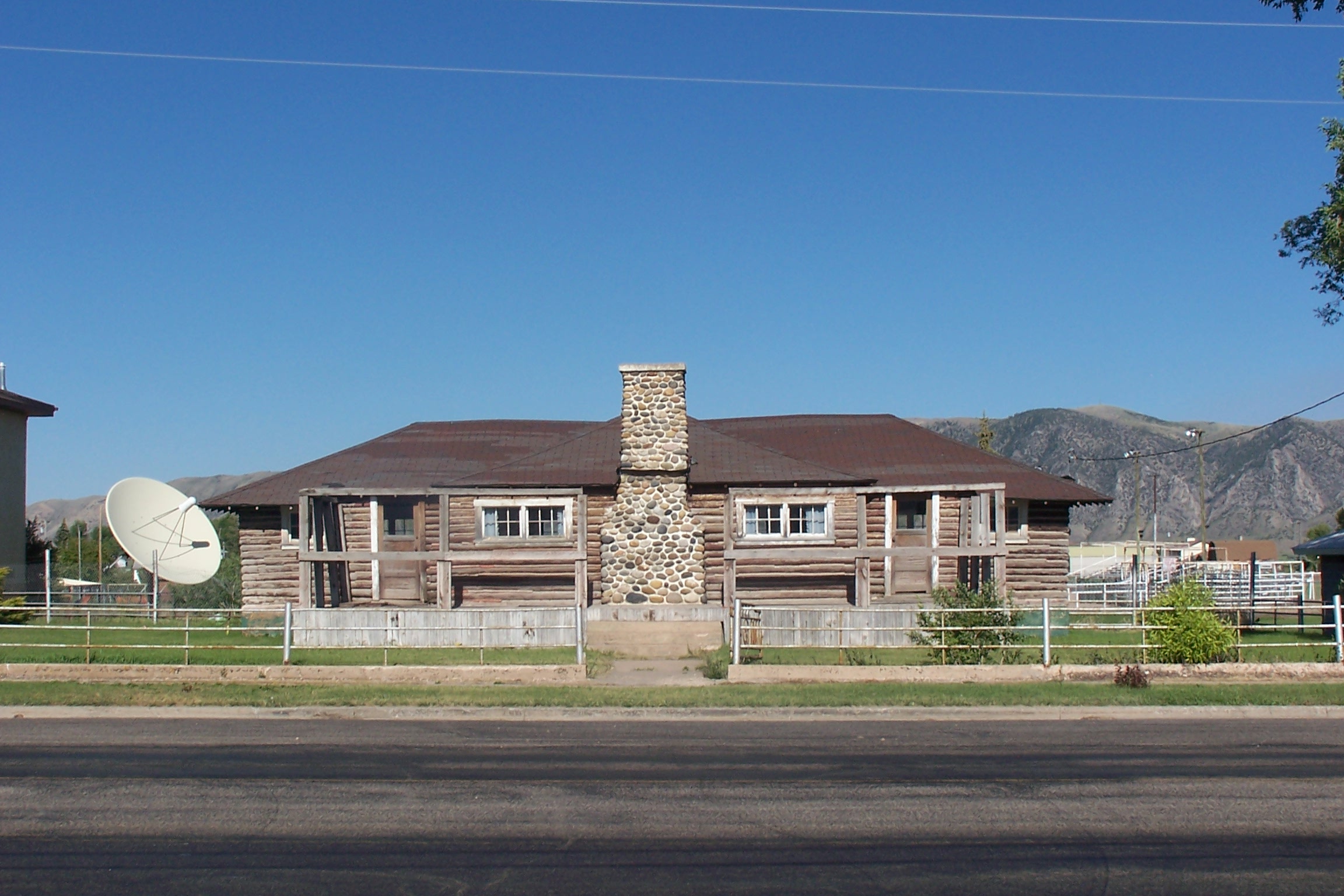
Log House, Front View
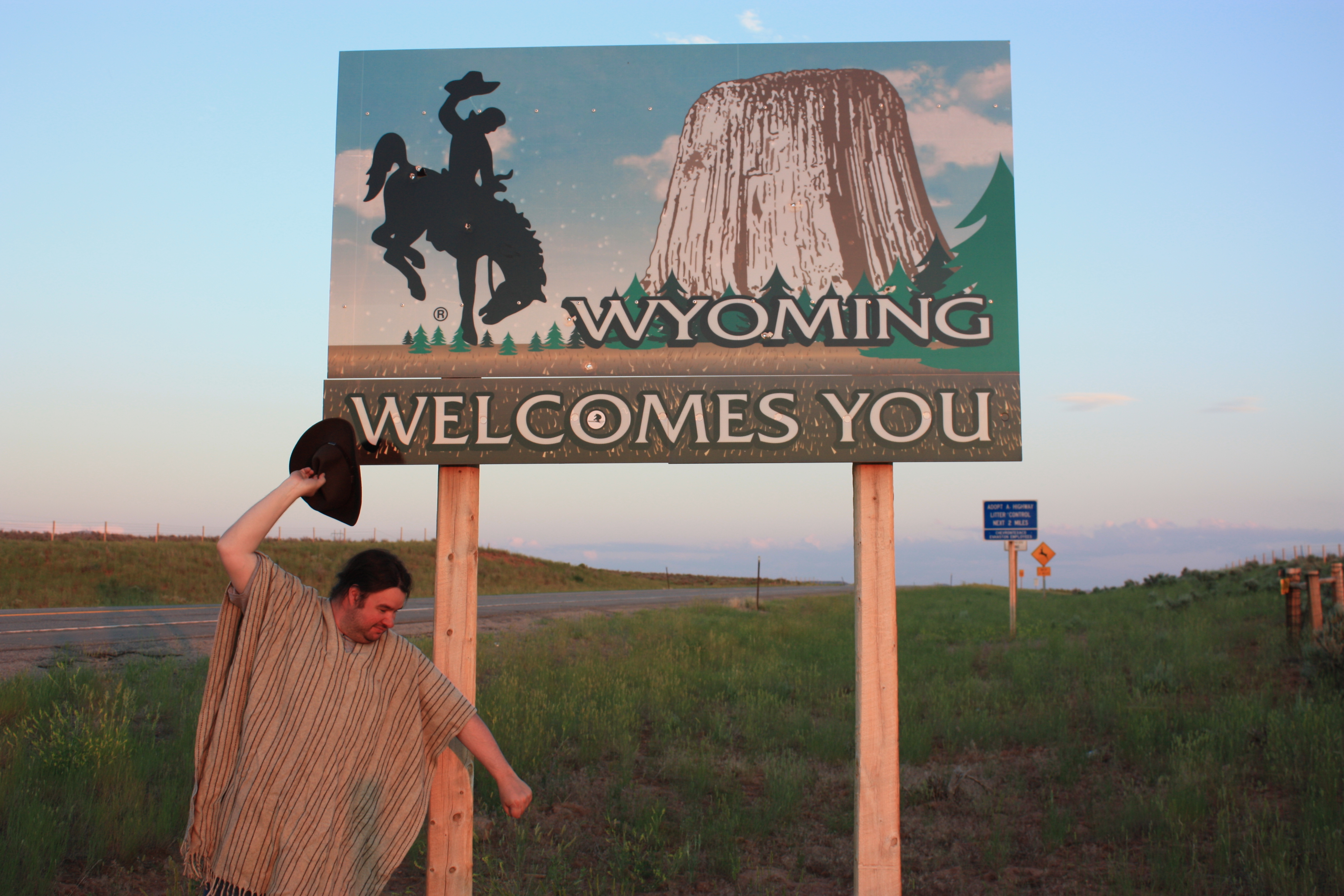
At the Wyoming border

Happy Fence Friday!
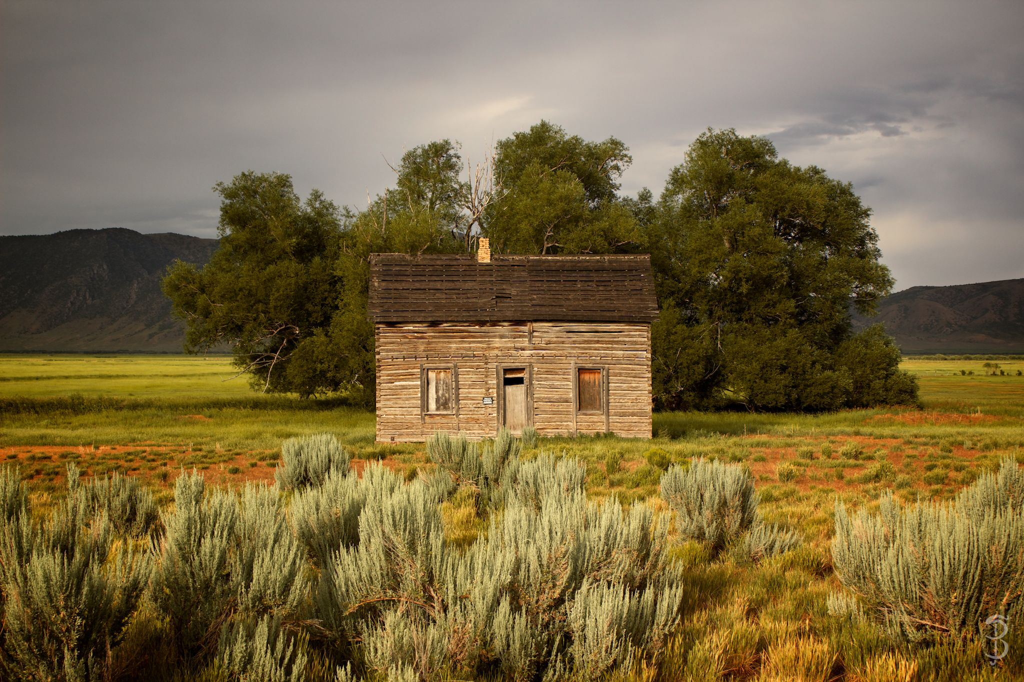
Little House on the Prairie
Golden evening
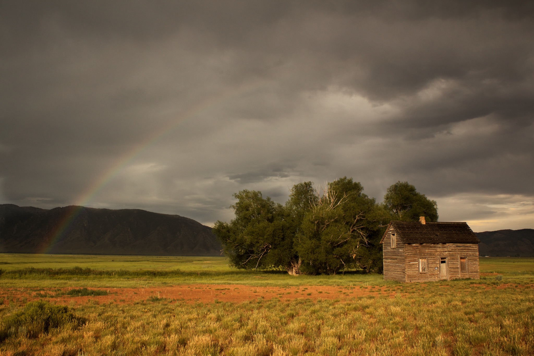
End of the Rainbow
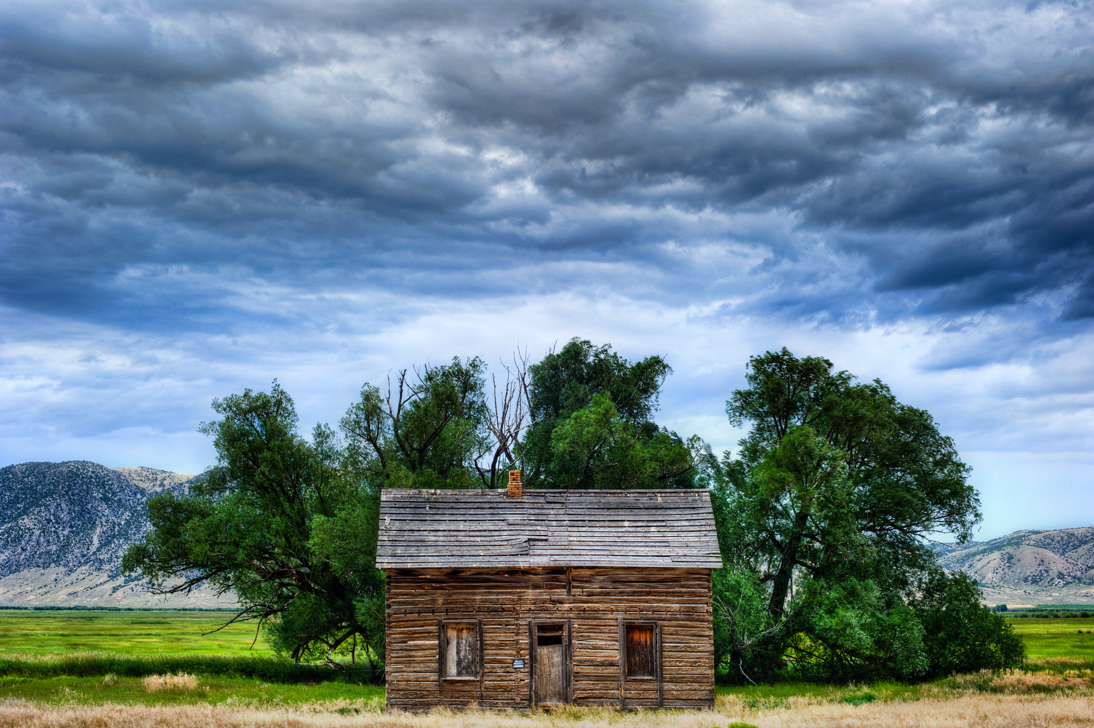
A House with a History

Salt Lake City to Jackson WY - Sturgis 2013
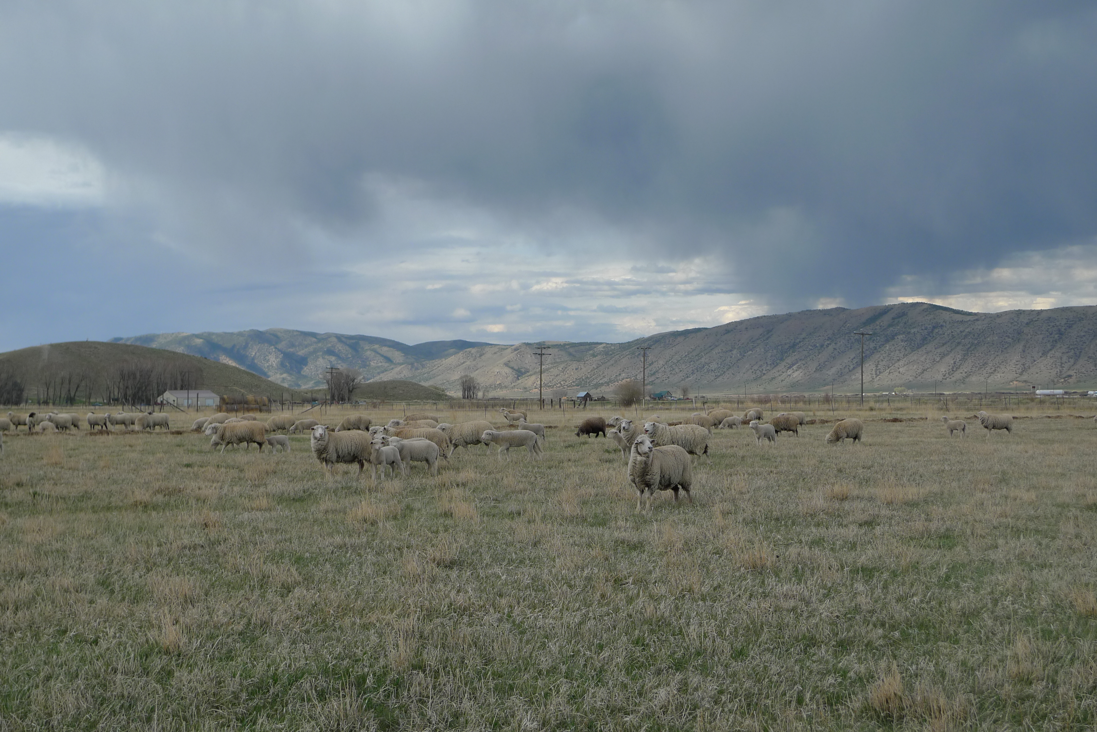
George Fraziers' Sheep 4
evanston-81
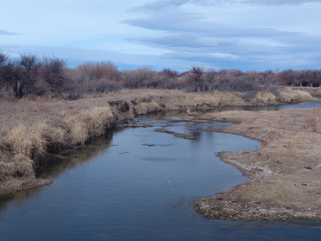
Deer Crossing
evanston-80
Topographic Map of Woodruff, UT, USA
Find elevation by address:

Places in Woodruff, UT, USA:
Places near Woodruff, UT, USA:
Rich County
Randolph
10 N Main St, Randolph, UT, USA
Eccles Peak
Wahsatch
Laketown
Ant Flat Road
Wasatch Range
Maple Dr, Garden City, UT, USA
Causey Reservoir
Garden City
Emory
Main Loop Road
2mmv+c4
Bear Lake Summit
Bear Lake
Hyrum City Park
Utah 101
Interstate 80
US-89, Fish Haven, ID, USA
Recent Searches:
- Elevation of Cavendish Rd, Harringay Ladder, London N4 1RR, UK
- Elevation of 1 Zion Park Blvd, Springdale, UT, USA
- Elevation of Ganderbal
- Elevation map of Konkan Division, Maharashtra, India
- Elevation of Netaji Nagar, Hallow Pul, Kurla, Mumbai, Maharashtra, India
- Elevation of Uralsk, Kazakhstan
- Elevation of 45- Kahana Dr, Honokaa, HI, USA
- Elevation of New Mexico 30, NM-30, Española, NM, USA
- Elevation of Santmyer Way, Charles Town, WV, USA
- Elevation of Riserva Naturale Lago di Montepulciano, Italy