Elevation of Woodland Hills Way, Tallahassee, FL, USA
Location: United States > Florida > Leon County > Tallahassee >
Longitude: -84.093238
Latitude: 30.6060994
Elevation: 54m / 177feet
Barometric Pressure: 101KPa
Elevation Map:
Satellite Map:
Related Photos:

Tonight's Moon [Explore-Thank You!!!]

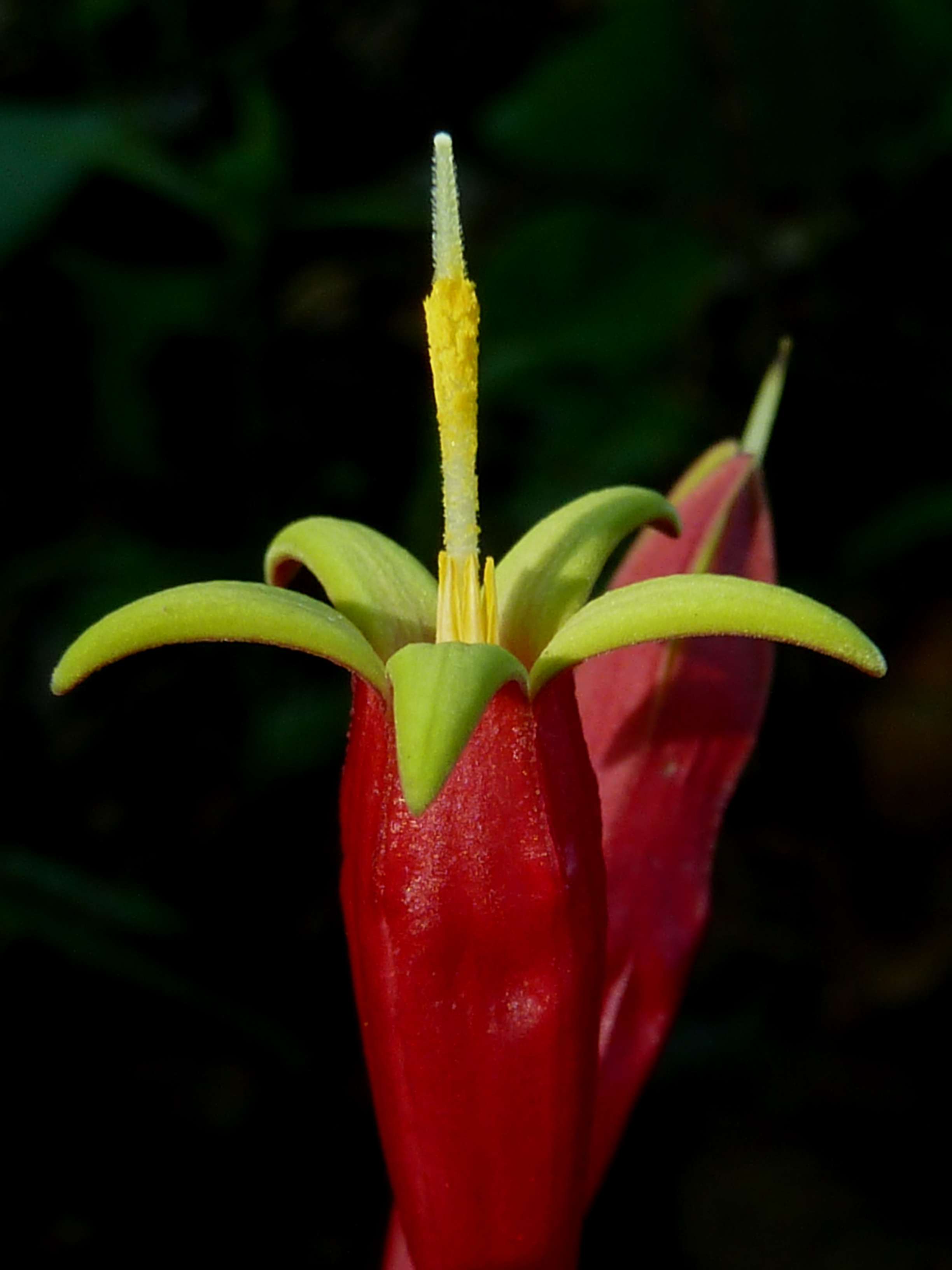
Coral or Cherokee bean

96/365 AND Day 4134: Tallahassee Automobile Museum
Indian pink

Lake Killarney

#Freedom @ #NewYorkCity #newyork #ny #nyc #us #usa #bigapple #america #view #manhattan #ferry #scenery #paradise
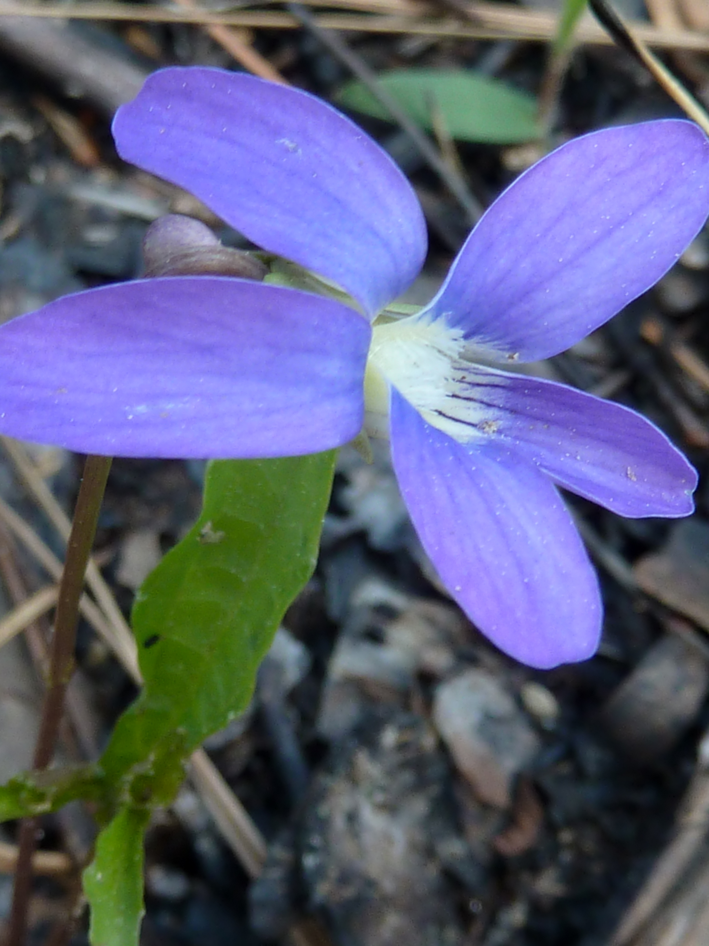
Purple violet

White violet

Staybridge Suites East Tallahassee
View from The Listening Place
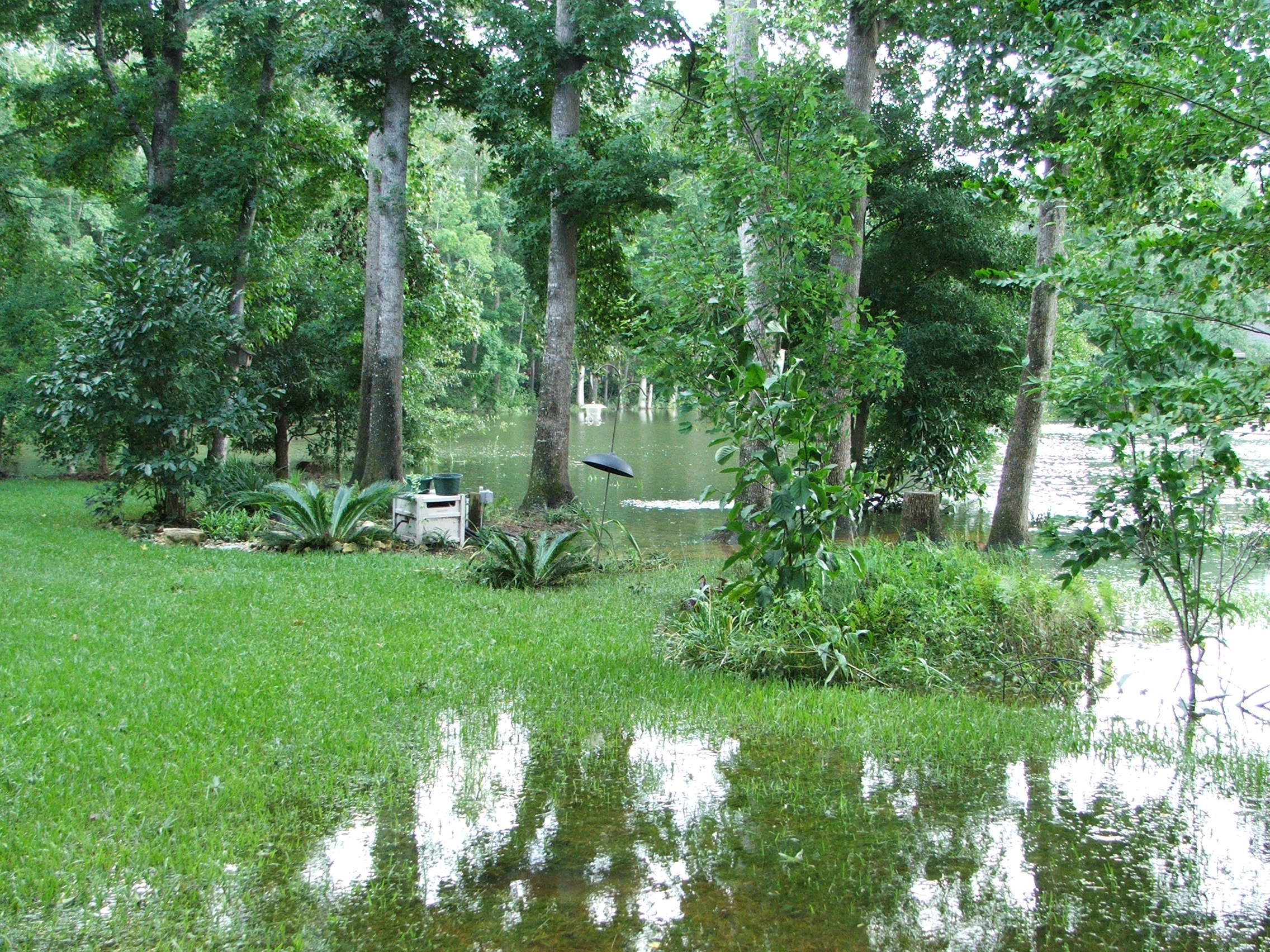
Fay's flood in my Backyard 08-26-08

A view of the crowded kitchen

Paddling Into the Sunset on Lake Iamonia [EXPLORE-Thank You!!]

Return at the Lake Lamonia

Sunset over prairie lake

American Robin

the grass and the low sun

Abandoned DSC04656

Royal fern
Virginia willow

Beauty berry

A stand of sumac

8086RondsPointeCt-012

Bradley pond

8086RondsPointeCt-007

8086RondsPointeCt-010

Pam Walking Toward Letchworth-Love Mound - Monticello, FL

9th Hole - Golden Eagle

Letchworth-Love Mound II - Monticello, FL

Letchworth-Love Mound I - Monticello, FL

8086RondsPointeCt-001

8086RondsPointeCt-004

White-tops + Trumpets
Topographic Map of Woodland Hills Way, Tallahassee, FL, USA
Find elevation by address:

Places near Woodland Hills Way, Tallahassee, FL, USA:
9090 Magnolia Hill Dr
9034 Magnolia Hill Dr
9447 Herold Hill Rd
Miccosukee
Veterans Memorial Rd, Tallahassee, FL, USA
US-, Thomasville, GA, USA
2439 Bass Bay Dr
Tallahassee, FL, USA
10517 Lake Iamonia Dr
Killearn Lakes
2403 Hares Den
Deerlake Middle School
8292 Chickasaw Trail
Mistletoe Plantation
830 Pine St
Qodesh Lane
1038 Qodesh Ln
2454 Lower Hawthorne Trail
2454 Lower Hawthorne Trail
111 Tall Pine Dr
Recent Searches:
- Elevation of Lampiasi St, Sarasota, FL, USA
- Elevation of Elwyn Dr, Roanoke Rapids, NC, USA
- Elevation of Congressional Dr, Stevensville, MD, USA
- Elevation of Bellview Rd, McLean, VA, USA
- Elevation of Stage Island Rd, Chatham, MA, USA
- Elevation of Shibuya Scramble Crossing, 21 Udagawacho, Shibuya City, Tokyo -, Japan
- Elevation of Jadagoniai, Kaunas District Municipality, Lithuania
- Elevation of Pagonija rock, Kranto 7-oji g. 8"N, Kaunas, Lithuania
- Elevation of Co Rd 87, Jamestown, CO, USA
- Elevation of Tenjo, Cundinamarca, Colombia