Elevation of Woodhaven Ln, Mankato, MN, USA
Location: United States > Minnesota > Blue Earth County > Mankato >
Longitude: -93.989716
Latitude: 44.1347546
Elevation: 300m / 984feet
Barometric Pressure: 98KPa
Elevation Map:
Satellite Map:
Related Photos:

Minneopa Falls
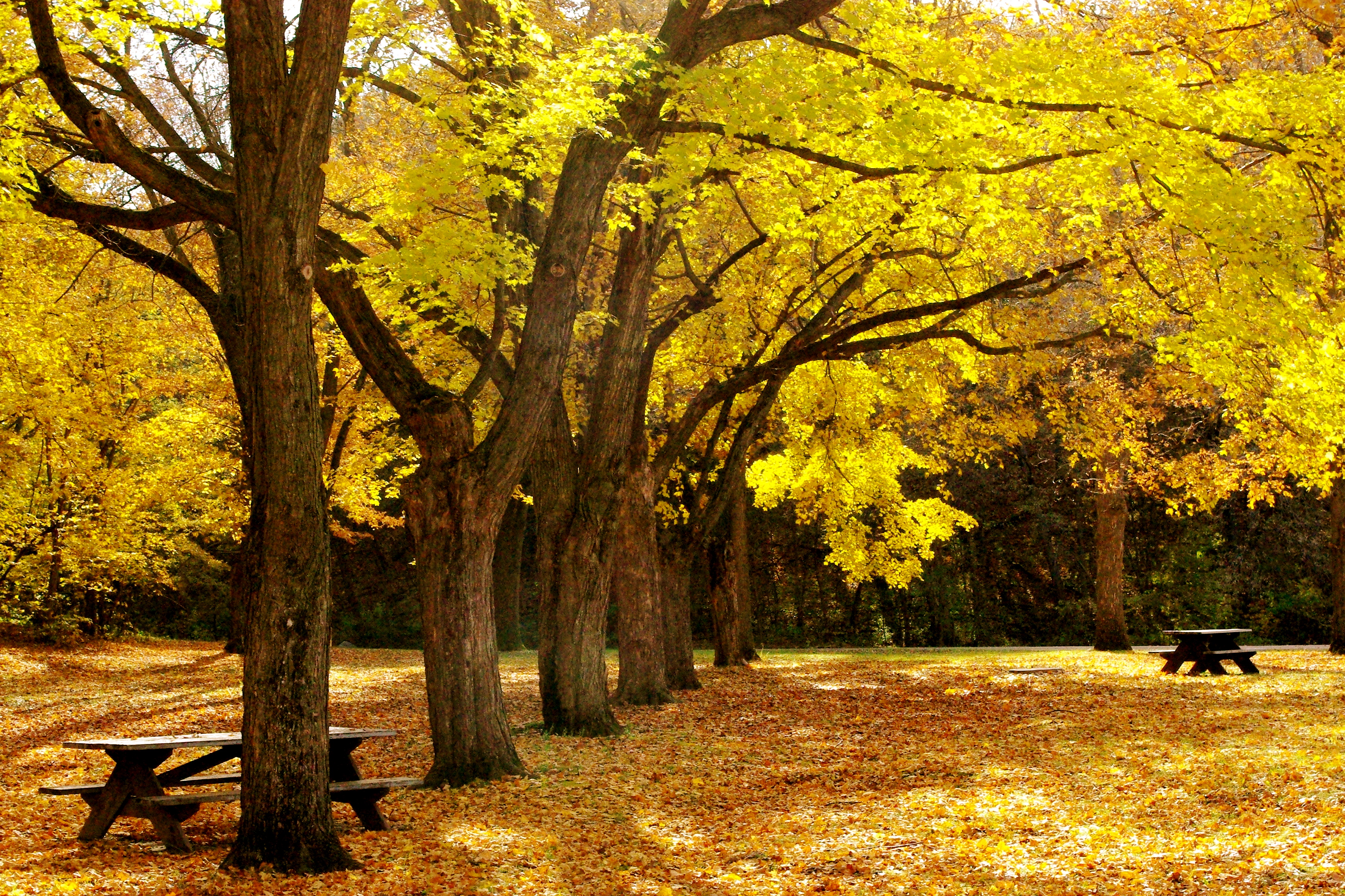
Chad's view in fall

UP 6630 - Benning, MN

White Buffalo. Mankato Memorial.

Mankato Rooftop

Mankato Rooftop

My view for the next two hours - can any body say Root Canal? #ingoodhands

Twice Fallen

Mankato Rooftop

Glenwood Cemetery

SOO 6062 Mankato, MN

Mankato Rooftop

Sunrise - Minnesota River

Cherry Street to Riverfront Avenue

The View from My Window

Hotels near Mankato Airport

Hole in the woods

View of the pulley on roped unit

A4 - 'wild' HDR

view from the vine center

Minneopa Falls

Minneopa Falls

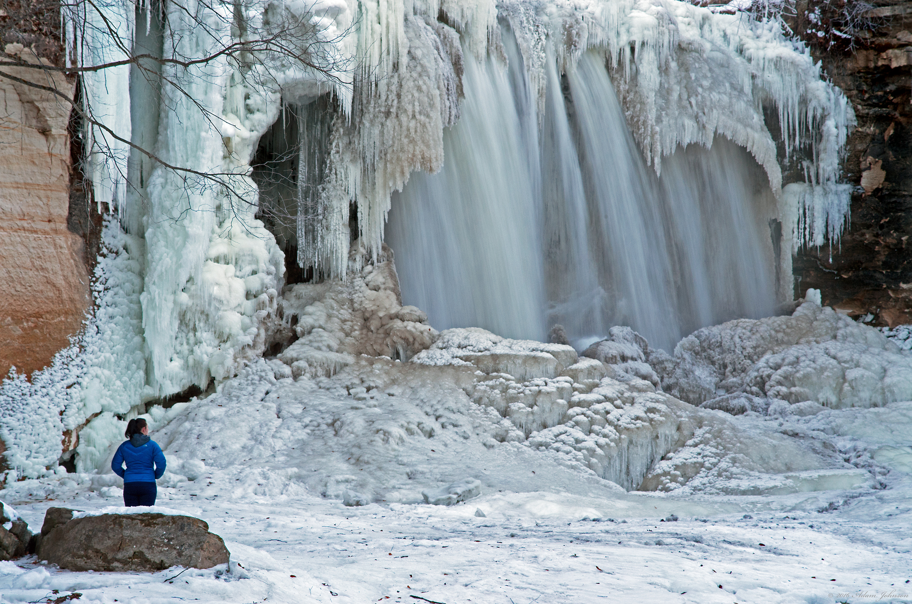
Waterfall in Afternoon

Rural Farmland & EMD's

Snow in the Valley

Water on Ice

Upper Minneopa Waterfall
Surreal Landscape

"Trees"

Escaping the Disolve

The Prairie Road at Sunset

Snow-covered trees at Minneopa State Park, Mankato, Winter in Minnesota

Minnesota, Blue Earth County, Minneopa State Park, Upper Minneopa Falls

We are as the Puppets

Wildflowers On the Hillside

Minneopa Falls

Story of composed elements

My favorite #tree in #Minneopa State Park. #MinneopaStatePark #Minnesota #MN #CaptureMN #OnlyinMN #ChristopherJFranklinPhotography #blackandwhite #scenery #ig_minnesota #ig_MN

made in the shade

Some Fireworks for Independence Day

Low Falls
Topographic Map of Woodhaven Ln, Mankato, MN, USA
Find elevation by address:

Places near Woodhaven Ln, Mankato, MN, USA:
Heron Drive
Minnesota State University, Mankato
730 Maywood Ave
Highland Park
Val Imm Drive
215 James Ave
15 Hanten Dr
Mankato, MN, USA
119 Glenview Ave
Mankato Clinic
Shaubut Street
Lincoln Park
Mankato
Mankato, MN, USA
710 S Front St
710 S Front St
710 S Front St
931 Madison Ave
Carlson-tillisch Eye Care - Optometrists, Glasses & Prescription, Contacts
104 Minnesota St
Recent Searches:
- Elevation of Lampiasi St, Sarasota, FL, USA
- Elevation of Elwyn Dr, Roanoke Rapids, NC, USA
- Elevation of Congressional Dr, Stevensville, MD, USA
- Elevation of Bellview Rd, McLean, VA, USA
- Elevation of Stage Island Rd, Chatham, MA, USA
- Elevation of Shibuya Scramble Crossing, 21 Udagawacho, Shibuya City, Tokyo -, Japan
- Elevation of Jadagoniai, Kaunas District Municipality, Lithuania
- Elevation of Pagonija rock, Kranto 7-oji g. 8"N, Kaunas, Lithuania
- Elevation of Co Rd 87, Jamestown, CO, USA
- Elevation of Tenjo, Cundinamarca, Colombia