Elevation of Woodchuck Hill, Colorado, USA
Location: United States > Colorado > Routt County > Oak Creek >
Longitude: -106.81254
Latitude: 40.2572045
Elevation: 2714m / 8904feet
Barometric Pressure: 73KPa
Elevation Map:
Satellite Map:
Related Photos:
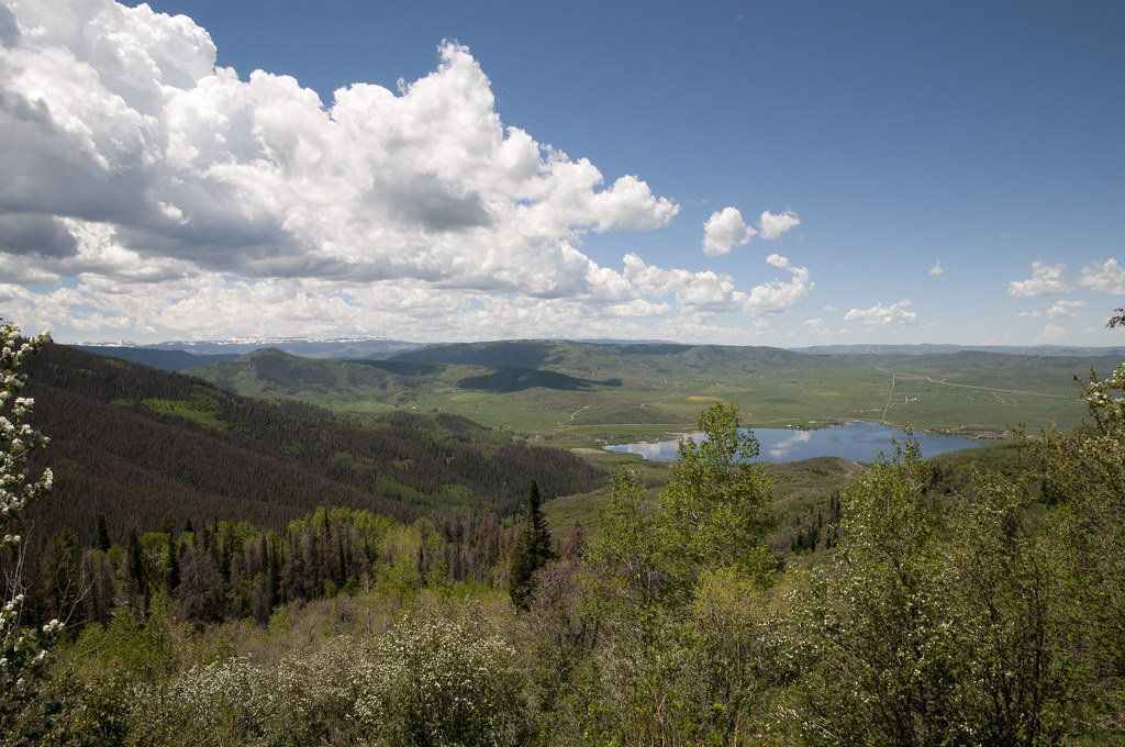
View of Lake Catamount from Highway 40

View from West Summit Loop Trail

View of Lake Catamount from Highway 40 1
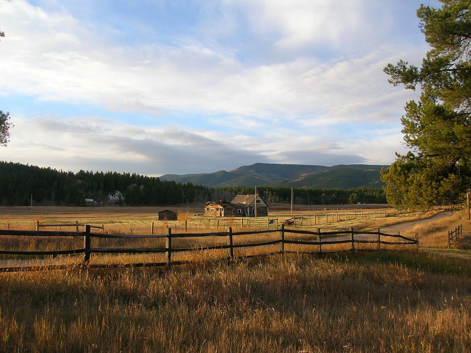
The view from the Cabin
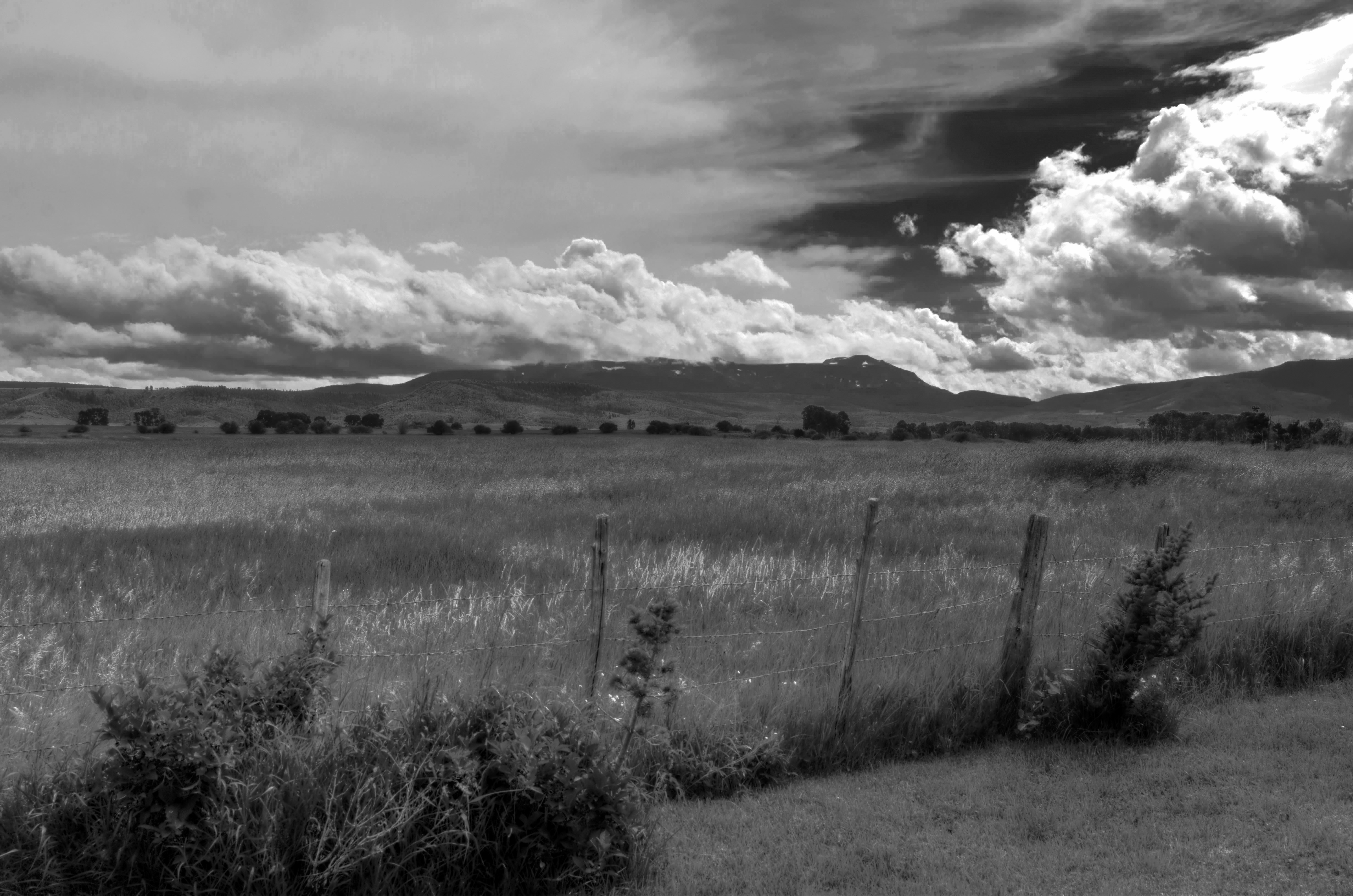
Flattops View from Yampa Ranch
Topographic Map of Woodchuck Hill, Colorado, USA
Find elevation by address:

Places near Woodchuck Hill, Colorado, USA:
22535 Cheyenne Trail
23620 Fraysher Ln
33566 Seneca Trail
33450 Filly Trail
33015 Ramuda Trl
21245 Co Rd 16
Whiffle Tree Trail
Shay Way
Stagecoach State Park
Blacktail Mountain
30050 Hibbert Ln
29875 Hibbert Ln
30150 Hibbert Ln
28400 Thorpe Mtn Dr
17850 Co Rd 16
Runaway Place
Lone Spring Butte
Walton Peak
Rushing Water Lane
Gore Mountain
Recent Searches:
- Elevation of Corso Fratelli Cairoli, 35, Macerata MC, Italy
- Elevation of Tallevast Rd, Sarasota, FL, USA
- Elevation of 4th St E, Sonoma, CA, USA
- Elevation of Black Hollow Rd, Pennsdale, PA, USA
- Elevation of Oakland Ave, Williamsport, PA, USA
- Elevation of Pedrógão Grande, Portugal
- Elevation of Klee Dr, Martinsburg, WV, USA
- Elevation of Via Roma, Pieranica CR, Italy
- Elevation of Tavkvetili Mountain, Georgia
- Elevation of Hartfords Bluff Cir, Mt Pleasant, SC, USA