Elevation of Woodbine, KY, USA
Location: United States > Kentucky >
Longitude: -84.088820
Latitude: 36.9048092
Elevation: 342m / 1122feet
Barometric Pressure: 97KPa
Elevation Map:
Satellite Map:
Related Photos:
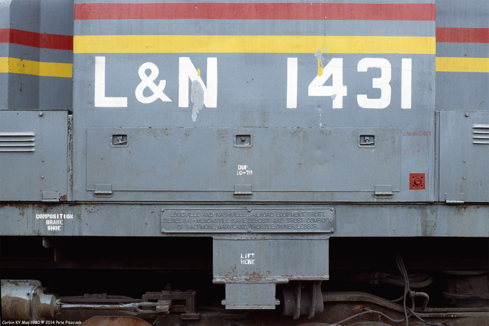
L&N 1431 Corbin KY May 1980

KFC signs: Old and New

Fog Break At The Pilot Travel Center

Starting to Stick
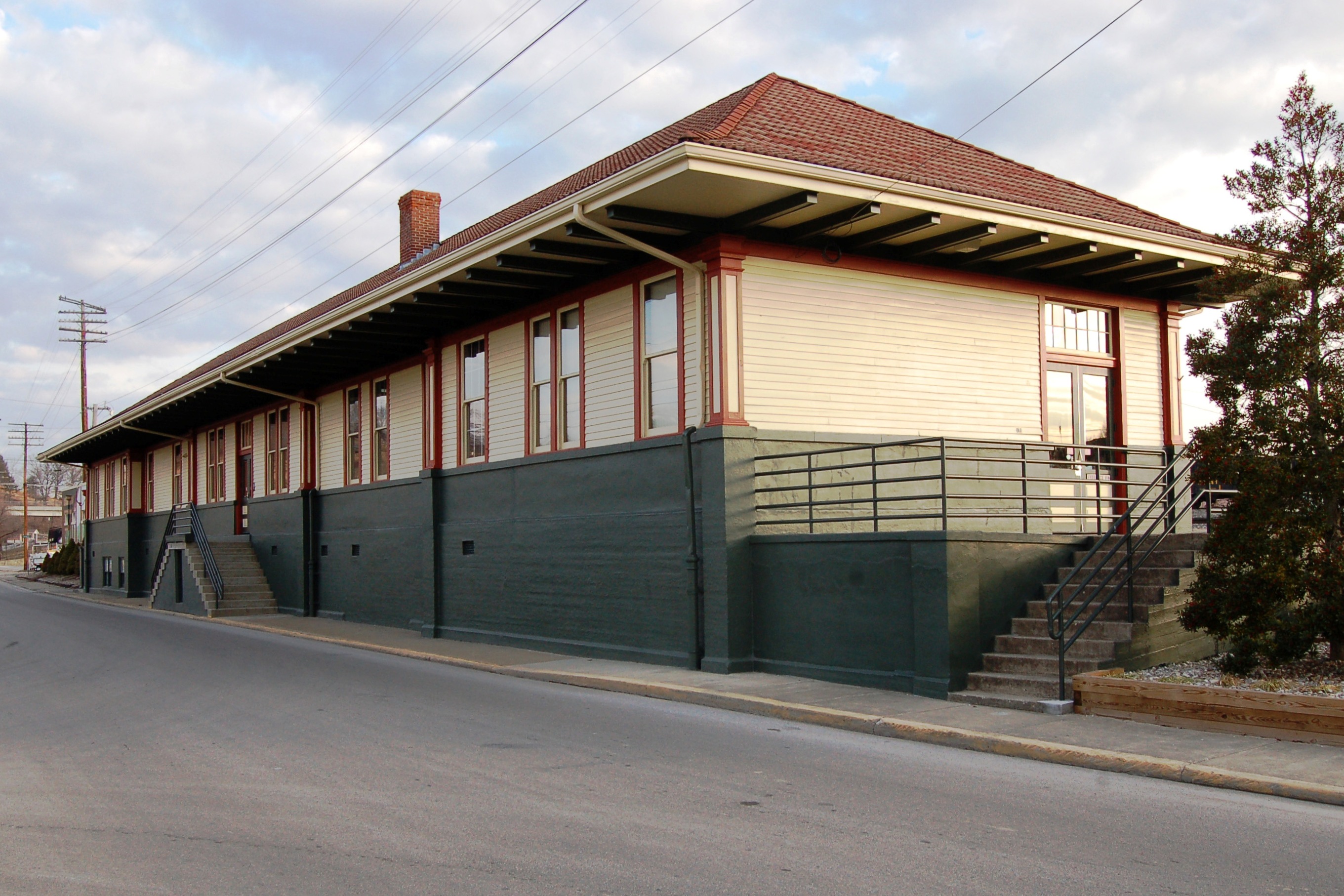
Louisville & Nashville Railroad, Kentucky, Corbin (3,454b)

dupont lodge

Indigo Bunting Bird 2nd View

Field - Corbin KY
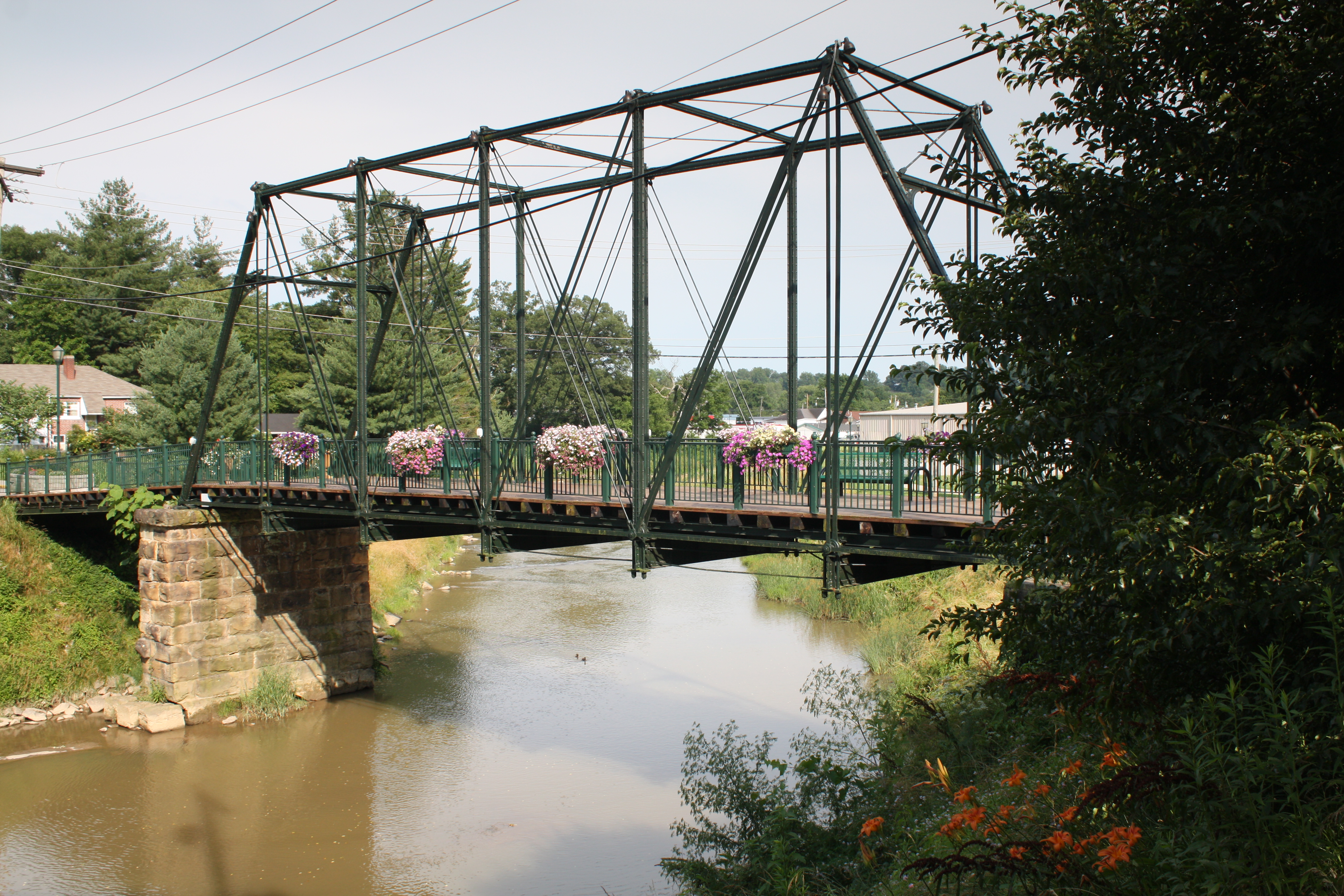
Engineer Street Bridge (Corbin, Kentucky)

Keleigh and Brian's Wedding

Bark Camp Creek, Ky.

© Forever Young Photography
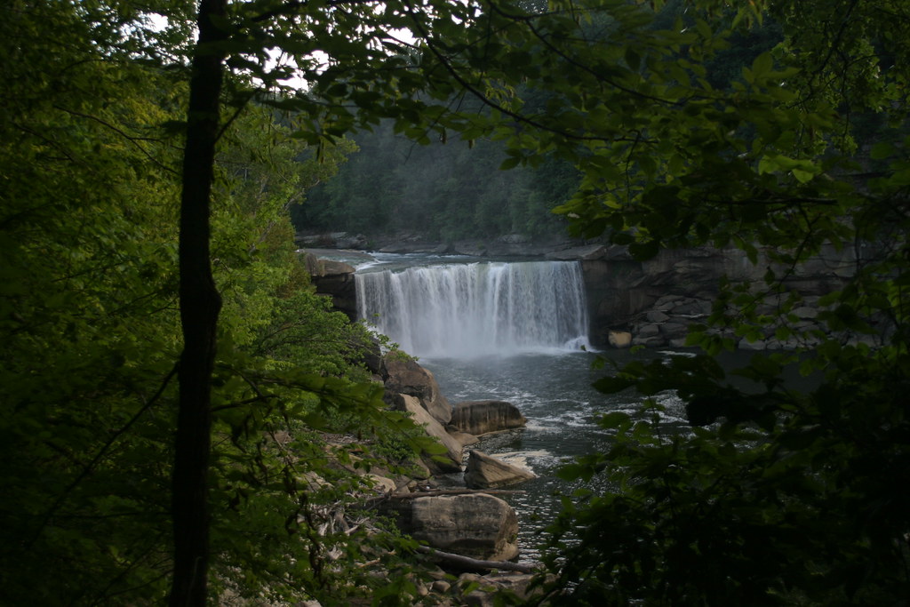
Cumberland Falls
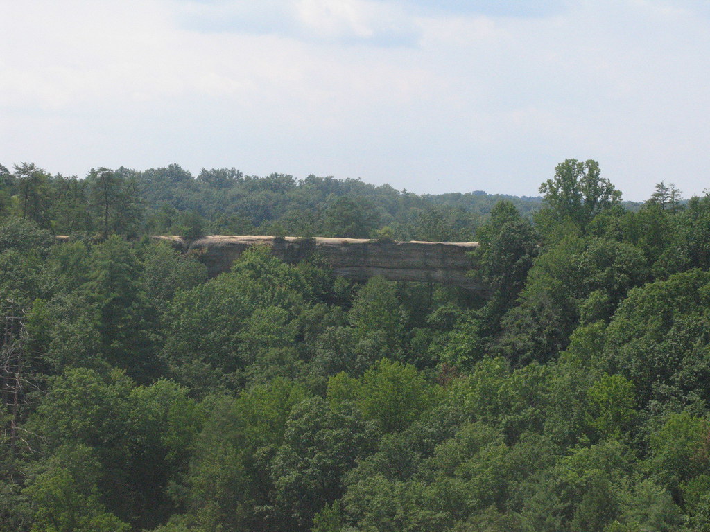
Natural Bridge
Topographic Map of Woodbine, KY, USA
Find elevation by address:

Places in Woodbine, KY, USA:
Places near Woodbine, KY, USA:
141 Bottom St
1270 Eatontown Rd
Dowis Chapel Road
239 Ridge Point Ln
KY-, Corbin, KY, USA
103 Trula Rose Rd
KY-, Williamsburg, KY, USA
89 Davenport Ln
29-27
11100 Cumberland Falls Hwy
Devils Creek Rd, Corbin, KY, USA
561 Watts Creek Rd
E-911
577 Old Corbin Pike Rd
Williamsburg
111 Main St
CUMBERLND CLG, KY, USA
3747 River Rd
Cumberland Falls State Resort Park
Cumberland Falls
Recent Searches:
- Elevation of Kambingan Sa Pansol Atbp., Purok 7 Pansol, Candaba, Pampanga, Philippines
- Elevation of Pinewood Dr, New Bern, NC, USA
- Elevation of Mountain View, CA, USA
- Elevation of Foligno, Province of Perugia, Italy
- Elevation of Blauwestad, Netherlands
- Elevation of Bella Terra Blvd, Estero, FL, USA
- Elevation of Estates Loop, Priest River, ID, USA
- Elevation of Woodland Oak Pl, Thousand Oaks, CA, USA
- Elevation of Brownsdale Rd, Renfrew, PA, USA
- Elevation of Corcoran Ln, Suffolk, VA, USA