Elevation of Wood School Rd, Gallipolis Ferry, WV, USA
Location: United States > West Virginia > Mason County > Clendenin > Gallipolis Ferry >
Longitude: -82.110441
Latitude: 38.7246038
Elevation: 223m / 732feet
Barometric Pressure: 99KPa
Elevation Map:
Satellite Map:
Related Photos:

River Views | Tu-Endie-Wei

Mountain State

Ohio River near Fortification Hill - Gallipolis Ohio

Ohio River from Tu-Endie-Wei State Park

One of my favorite views in the world. It never gets old.

Point Pleasant's less famous bridge

West Virginia, Mason County, Mail Pouch

Eureka!!

The best view of gallipolis. I love this place. Took Tyler up and he was amazed. And he enjoyed looking at the grave markers and seeing that Bob Evans has the best resting place over everyone, looking out over the river.

West Virginia, Mason County, Mail Pouch

West Virginia, Mason County, Mail Pouch

West Virginia, Mason County, Mail Pouch
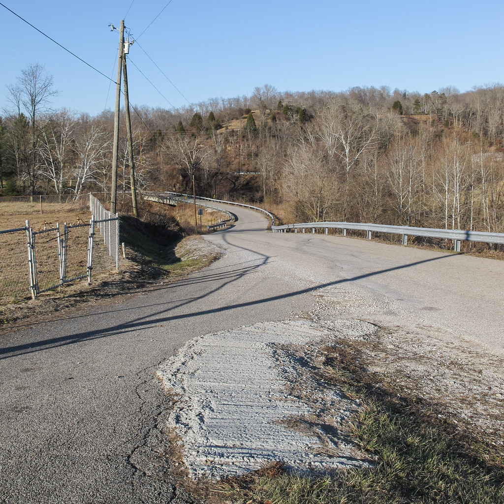
I WAS A ROADSIDE VISITOR TO THE GROOVES OF A CONCRETE POUR.

Ohio River
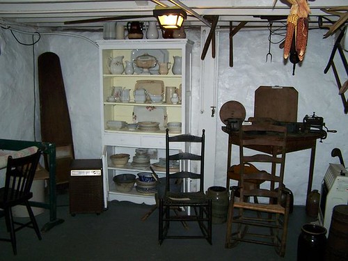
Basement Kitchen

100-2255

Gray day, view of cousin Meredith's house.

Summer Storm - {Explored #47}

What Befell the Stars, so too the World of Man

Fortification Hill - Gallipolis, Ohio

Point Pleasant, WV Panorama

Mound Cemetery - Gallipolis, Ohio

Gallipolis Ohio

Kanawha River from Tu-Endie-Wei State Park

Mound Hill Cemetery 4

Variegated Fritillary (Euptoieta claudia)

Tu-Endie-Wei State Park Monument

Robert C. Byrd Locks and Dam

Ohio River Point Pleasant, West Virginia

Robert C. Byrd Locks & Dam

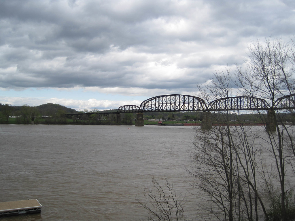
Rail bridge over the Ohio River
Point Pleasant, WV

Ohio River at Gallipolis, OH

Robert C. Byrd Locks & Dam
Topographic Map of Wood School Rd, Gallipolis Ferry, WV, USA
Find elevation by address:

Places near Wood School Rd, Gallipolis Ferry, WV, USA:
10374 Crab Creek Rd
Clendenin
57 Henrys Rd, Gallipolis Ferry, WV, USA
Gallipolis Ferry
Henderson
704 Woyan Mountain Rd
Eastern Ave, Gallipolis, OH, USA
Mason County
Point Pleasant
Middleton Estates
Gallipolis
Mound Hill Cemetery
Gallipolis Township
Southside
Leon
OH-, Gallipolis, OH, USA
Debbie Road
29605 Charleston Rd
244 Hale Ln
Kathy St, Gallipolis, OH, USA
Recent Searches:
- Elevation of Leguwa, Nepal
- Elevation of County Rd, Enterprise, AL, USA
- Elevation of Kolchuginsky District, Vladimir Oblast, Russia
- Elevation of Shustino, Vladimir Oblast, Russia
- Elevation of Lampiasi St, Sarasota, FL, USA
- Elevation of Elwyn Dr, Roanoke Rapids, NC, USA
- Elevation of Congressional Dr, Stevensville, MD, USA
- Elevation of Bellview Rd, McLean, VA, USA
- Elevation of Stage Island Rd, Chatham, MA, USA
- Elevation of Shibuya Scramble Crossing, 21 Udagawacho, Shibuya City, Tokyo -, Japan