Elevation of Woking, AB T0H 3V0, Canada
Location: Canada > Alberta > Division No. 19 > Saddle Hills County >
Longitude: -118.77611
Latitude: 55.592325
Elevation: 673m / 2208feet
Barometric Pressure: 93KPa
Elevation Map:
Satellite Map:
Related Photos:

Harvest of gold

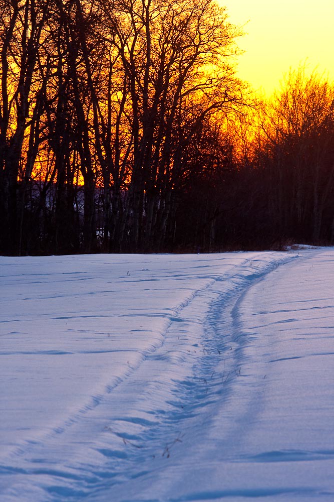
There's just something about a country road at sunset

Northern Alberta Wheat Field [Explored]

guestaccess[1]
65-365
Topographic Map of Woking, AB T0H 3V0, Canada
Find elevation by address:

Places near Woking, AB T0H 3V0, Canada:
Division No. 19
Clairmont
Elite Vac And Steam
96 St, Clairmont, AB T0H 0W0, Canada
Alberta 43
10241 128 Ave
St, Grande Prairie, AB T8V 4J8, Canada
10011 115 Ave
10409 98 St
Hillside
Central Business District
Grande Prairie
97 Street
14900 107 St
Morgan Meadows
95 Ave, Grande Prairie, AB T8V 6A3, Canada
8109 121 St
9050 80 Ave
9050 80 Ave
20 Range Rd 65, Clairmont, AB T0H 0W0, Canada
Recent Searches:
- Elevation map of Kabardino-Balkarian Republic, Russia
- Elevation of Tyrnyauz, Kabardino-Balkarian Republic, Russia
- Elevation of Sunset Dr, Hernando, MS, USA
- Elevation of Lake Rotoroa, Tasman, New Zealand
- Elevation of George St, New Bern, NC, USA
- Elevation of Cove Rd, Jasper, GA, USA
- Elevation of Cove Rd, Jasper, GA, USA
- Elevation of South Yankee Meadow Road, Forest Road, Paragonah, UT, USA
- Elevation of SW Elderview Dr, Sherwood, OR, USA
- Elevation of Hickory St, Greenville, NC, USA