Elevation of Witch Well Road, Witch Well Rd, St Johns, AZ, USA
Location: United States > Arizona > Apache County > Saint Johns >
Longitude: -109.48732
Latitude: 34.8789639
Elevation: 1913m / 6276feet
Barometric Pressure: 80KPa
Elevation Map:
Satellite Map:
Related Photos:
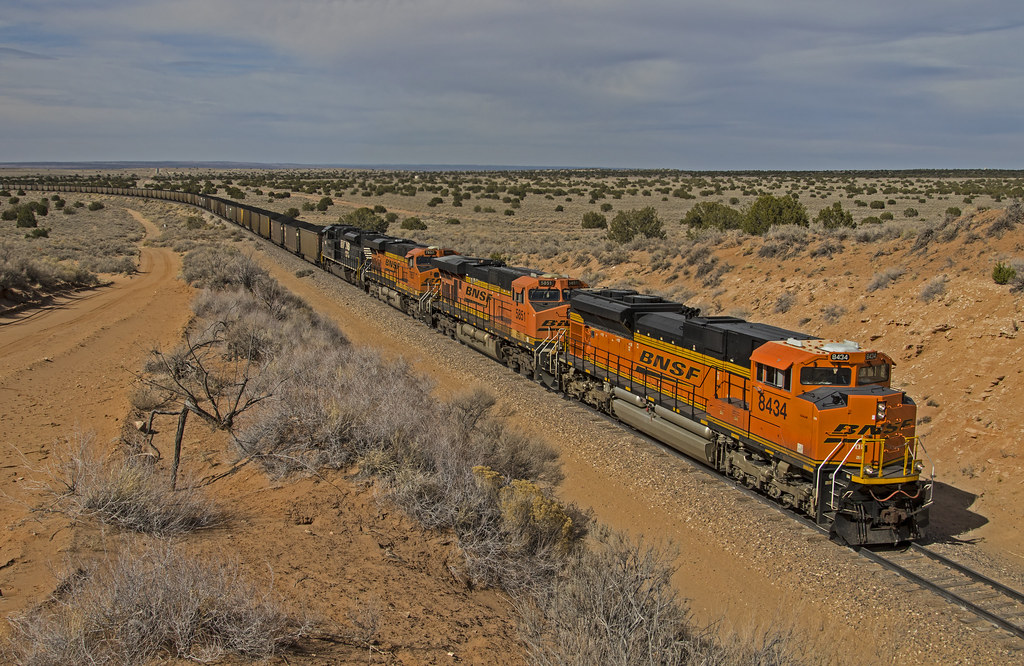
Coronado coal
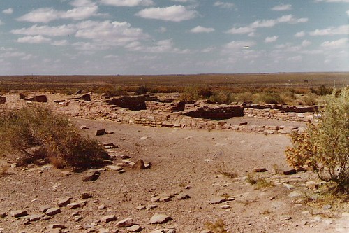
Petrified Forest, Arazona 10-14-81-Puerco Indian Ruins
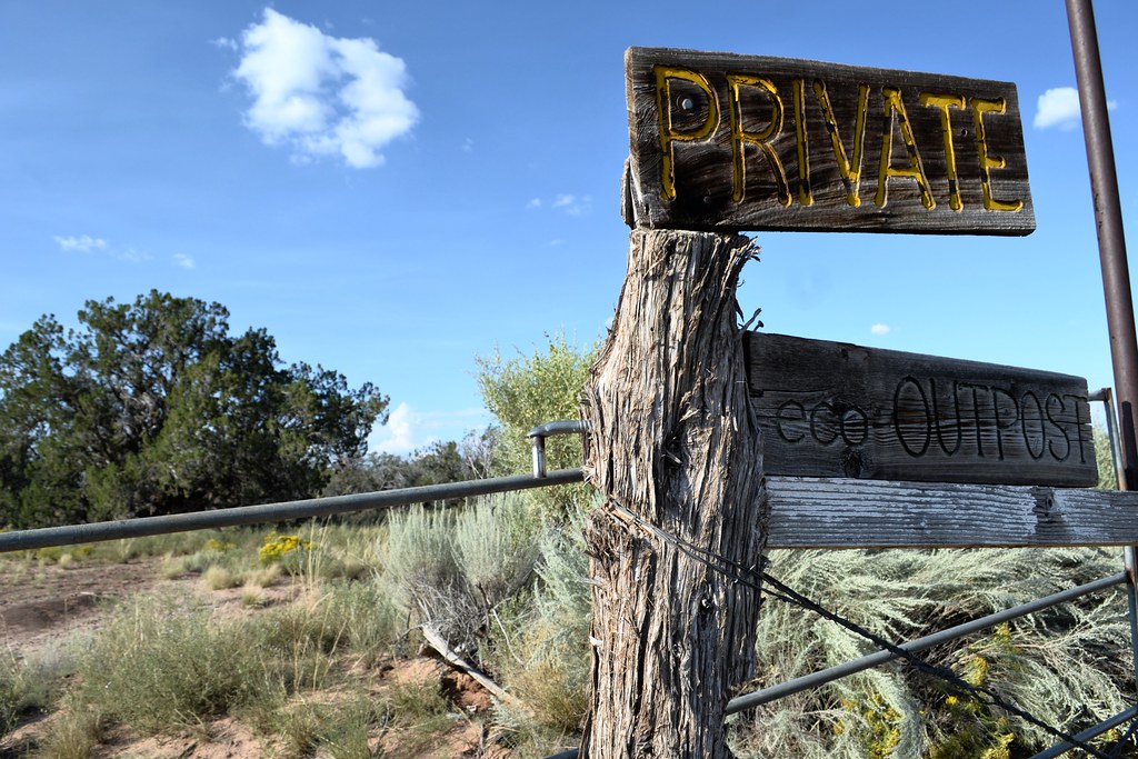
Desert Outpost
Topographic Map of Witch Well Road, Witch Well Rd, St Johns, AZ, USA
Find elevation by address:

Places near Witch Well Road, Witch Well Rd, St Johns, AZ, USA:
Apache Estates
Coca Cola Avenue
Apache County N7200
Apache County Road
St Johns, AZ, USA
Concho, AZ, USA
90 7th W
90 7th W
Saint Johns
Concho
N6100
70 Apache Dr N8328
Concho Creek Drive
53 Bonita Ln
53 Bonita Ln
Delaware Lane
Zuni
129 N1340
Greens Peak
Springerville
Recent Searches:
- Elevation of 15 Victory Ave, Greenville, SC, USA
- Elevation of Kota Ternate Utara, Ternate City, North Maluku, Indonesia
- Elevation of Allon St, Oceanside, NY, USA
- Elevation of Carroll Creek Rd, Custer, SD, USA
- Elevation of Lust Road, Lust Rd, Florida, USA
- Elevation of Pleasant Valley Rd NW, Adairsville, GA, USA
- Elevation of Općina Šodolovci, Croatia
- Elevation of Šodolovci, Croatia
- Elevation of Old Clairton Rd, Jefferson Hills, PA, USA
- Elevation of st Ave SE, Lisbon, ND, USA