Elevation of Wishkah Rd, Aberdeen, WA, USA
Location: United States > Washington > Grays Harbor County > Aberdeen >
Longitude: -123.76550
Latitude: 47.1203209
Elevation: 41m / 135feet
Barometric Pressure: 101KPa
Elevation Map:
Satellite Map:
Related Photos:
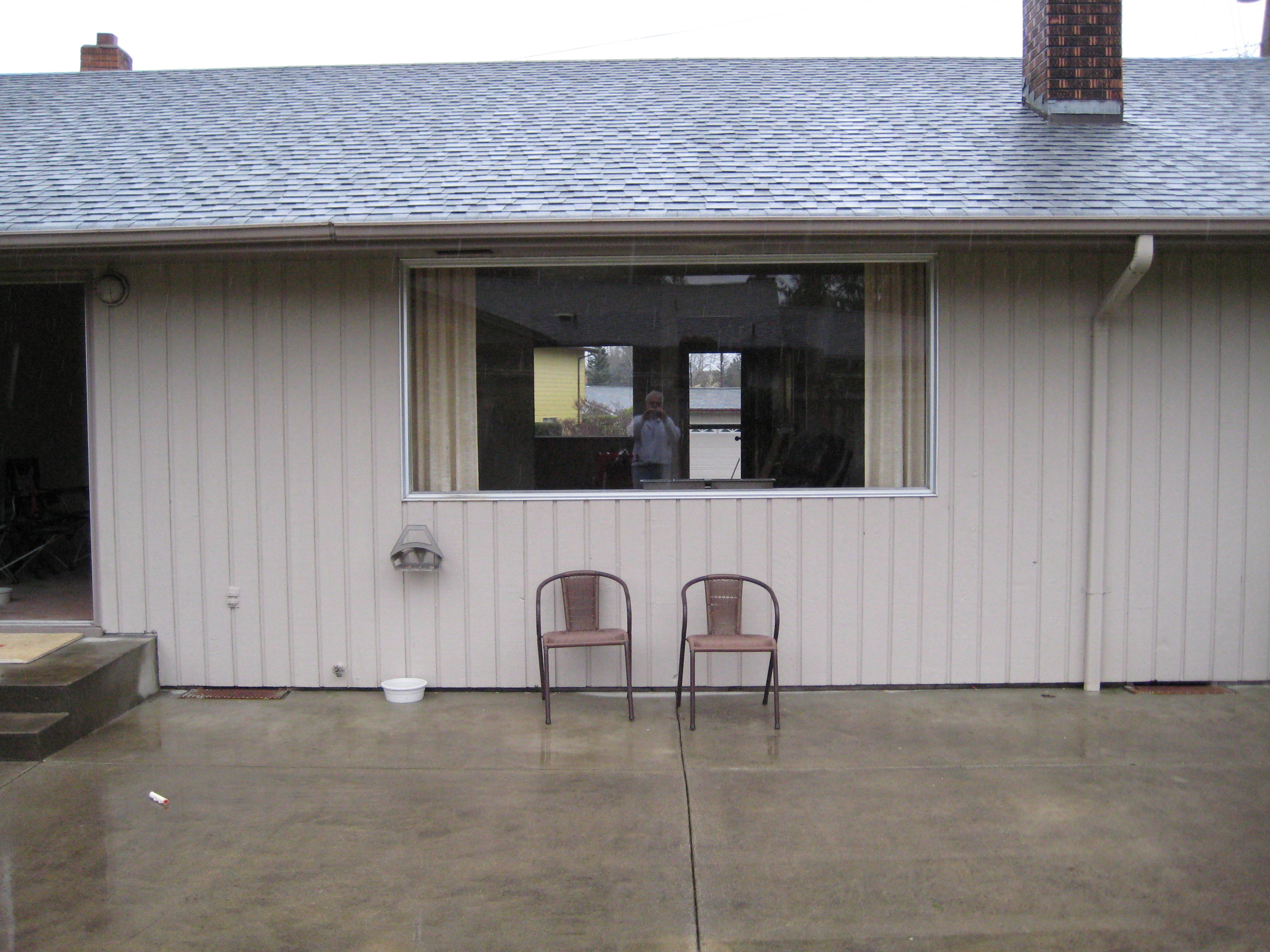
reflection of me.
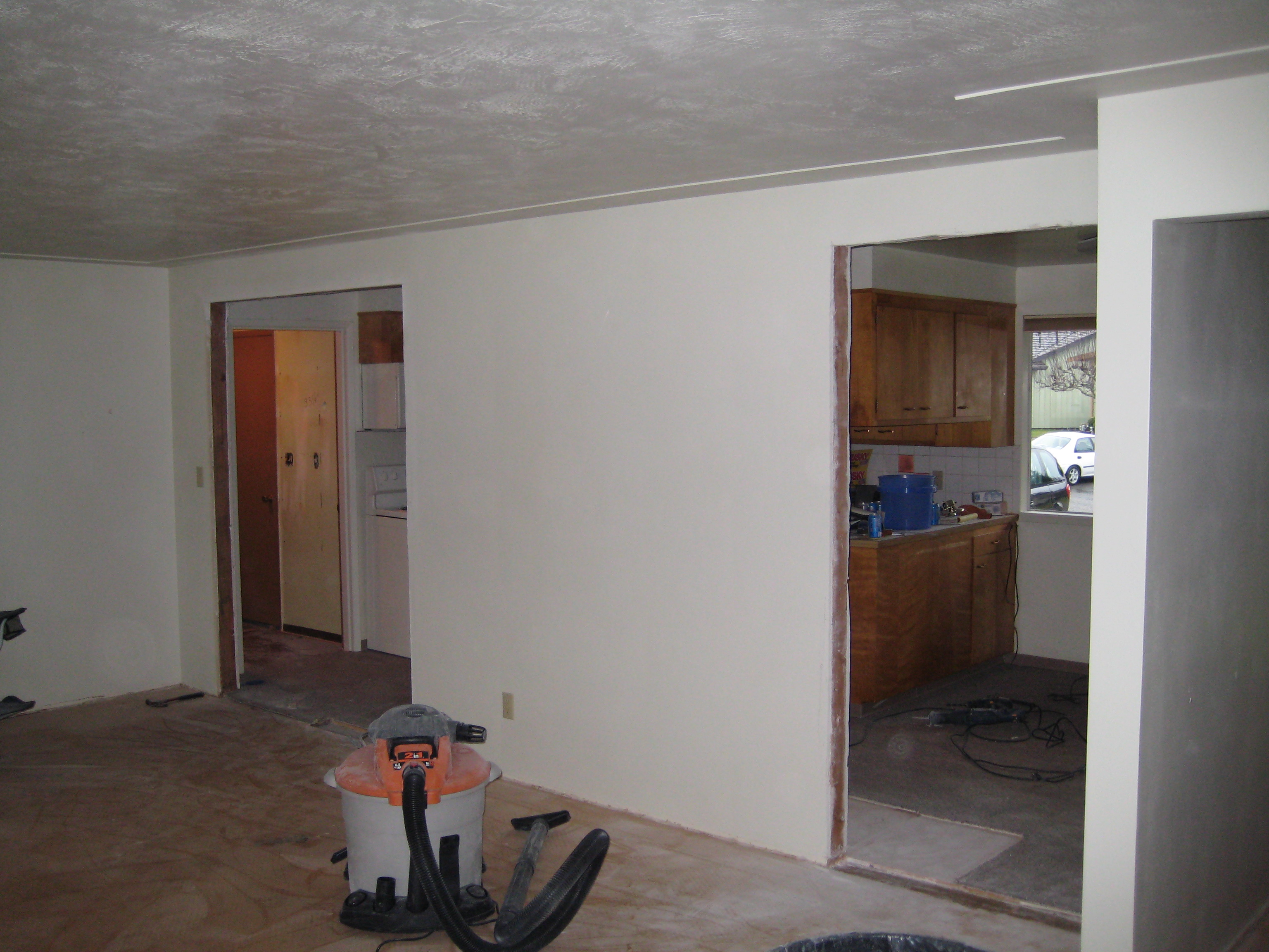
New doorways from kitchen

Y Motel
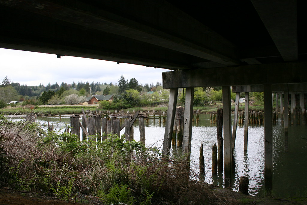
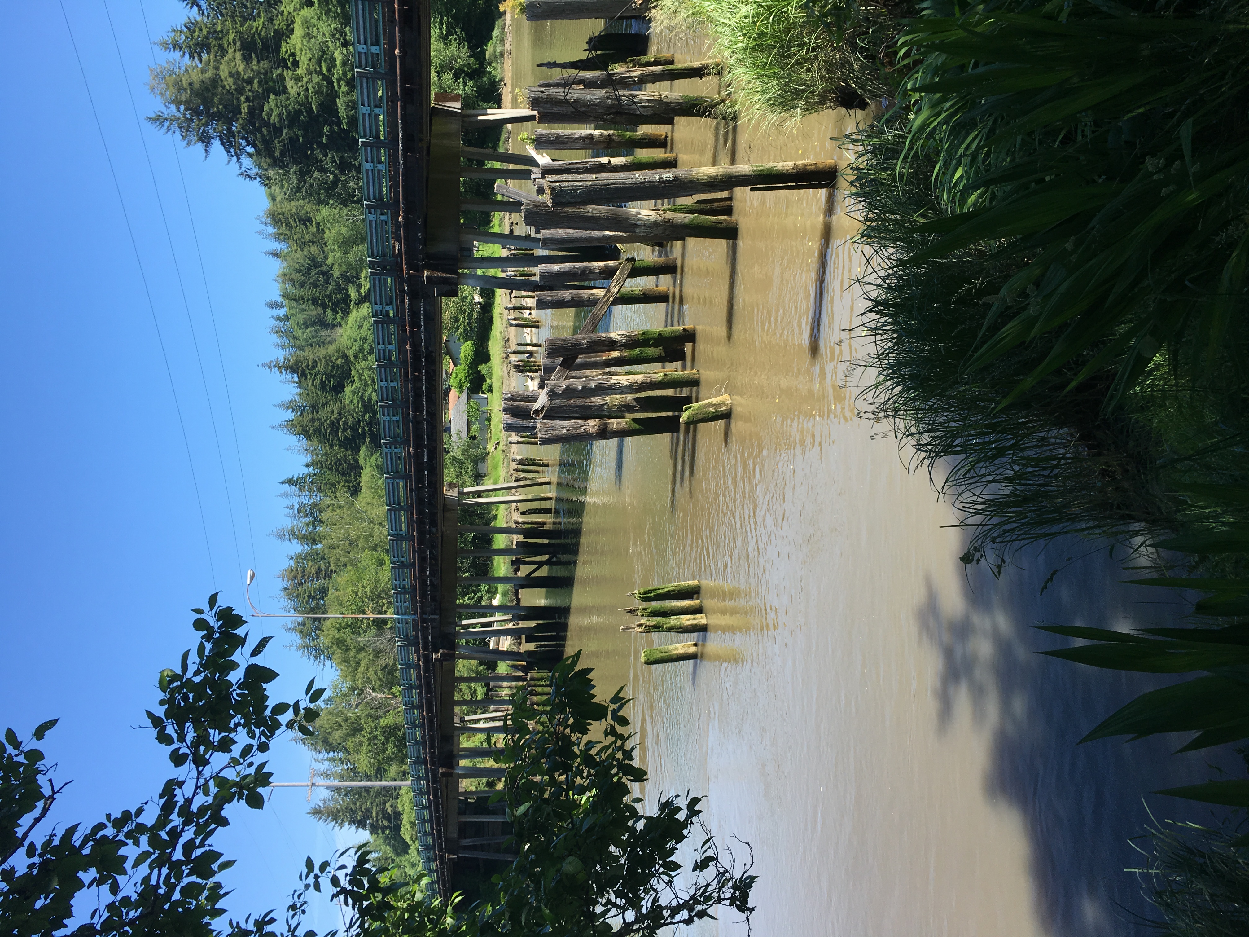
under a bridge over the wishkah

Aberdeen WA Chehalis River industry (#1364)
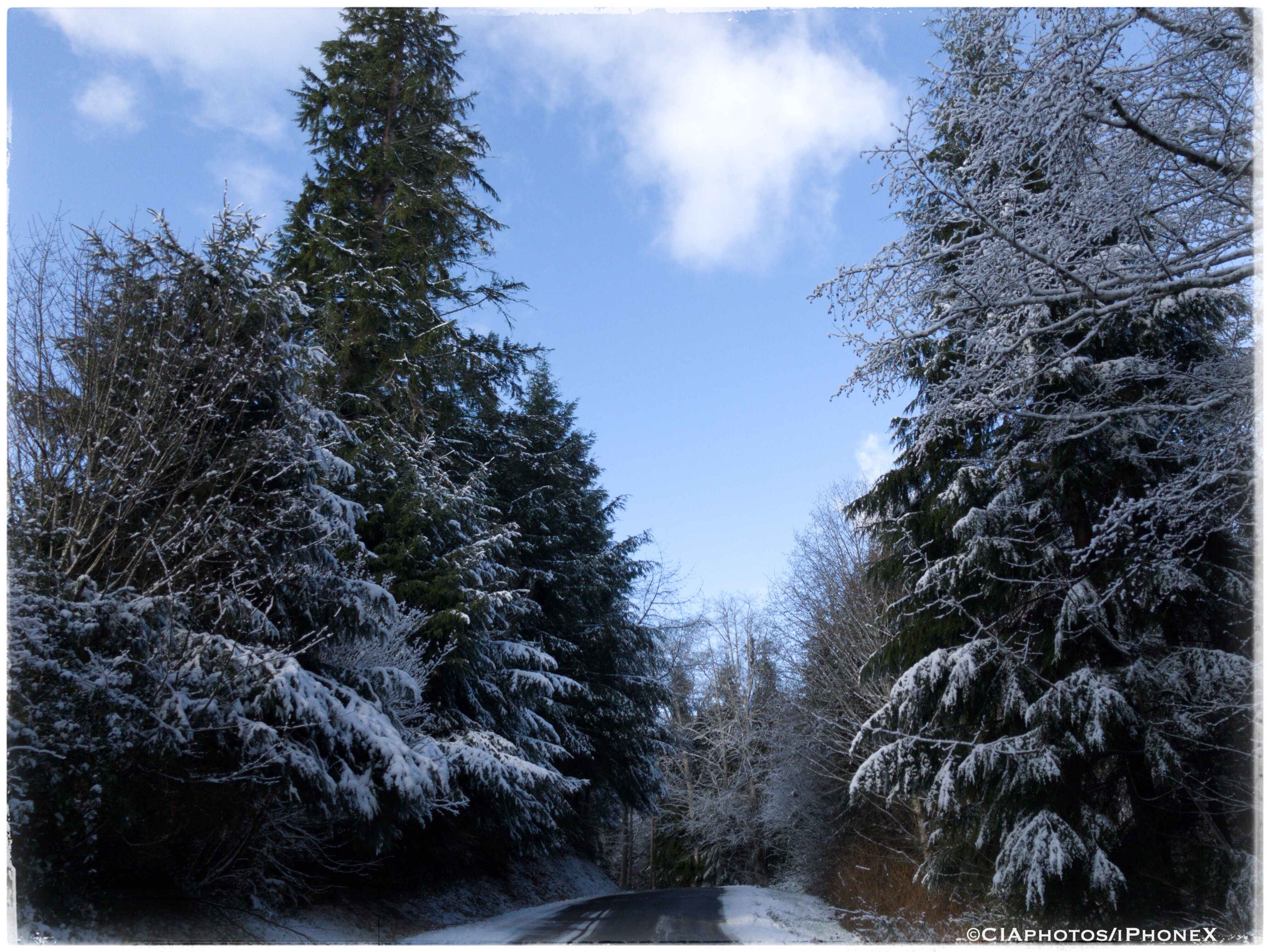
Snowy Road

Underneath The Bridge, Top Has Sprung A Leak
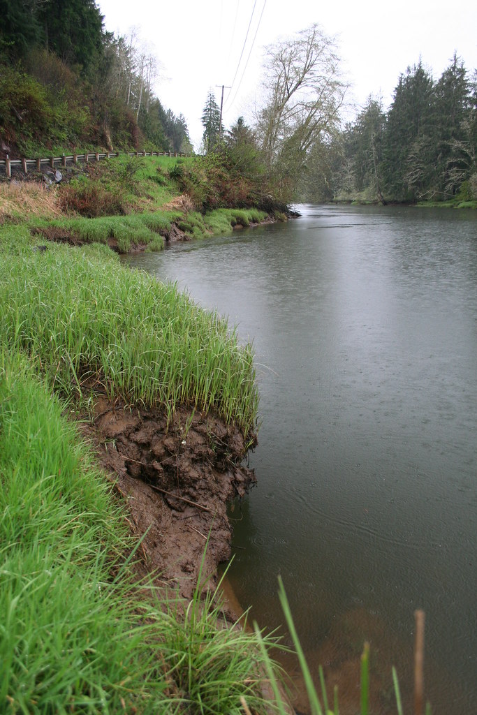
From the Muddy Banks of the Wishkah
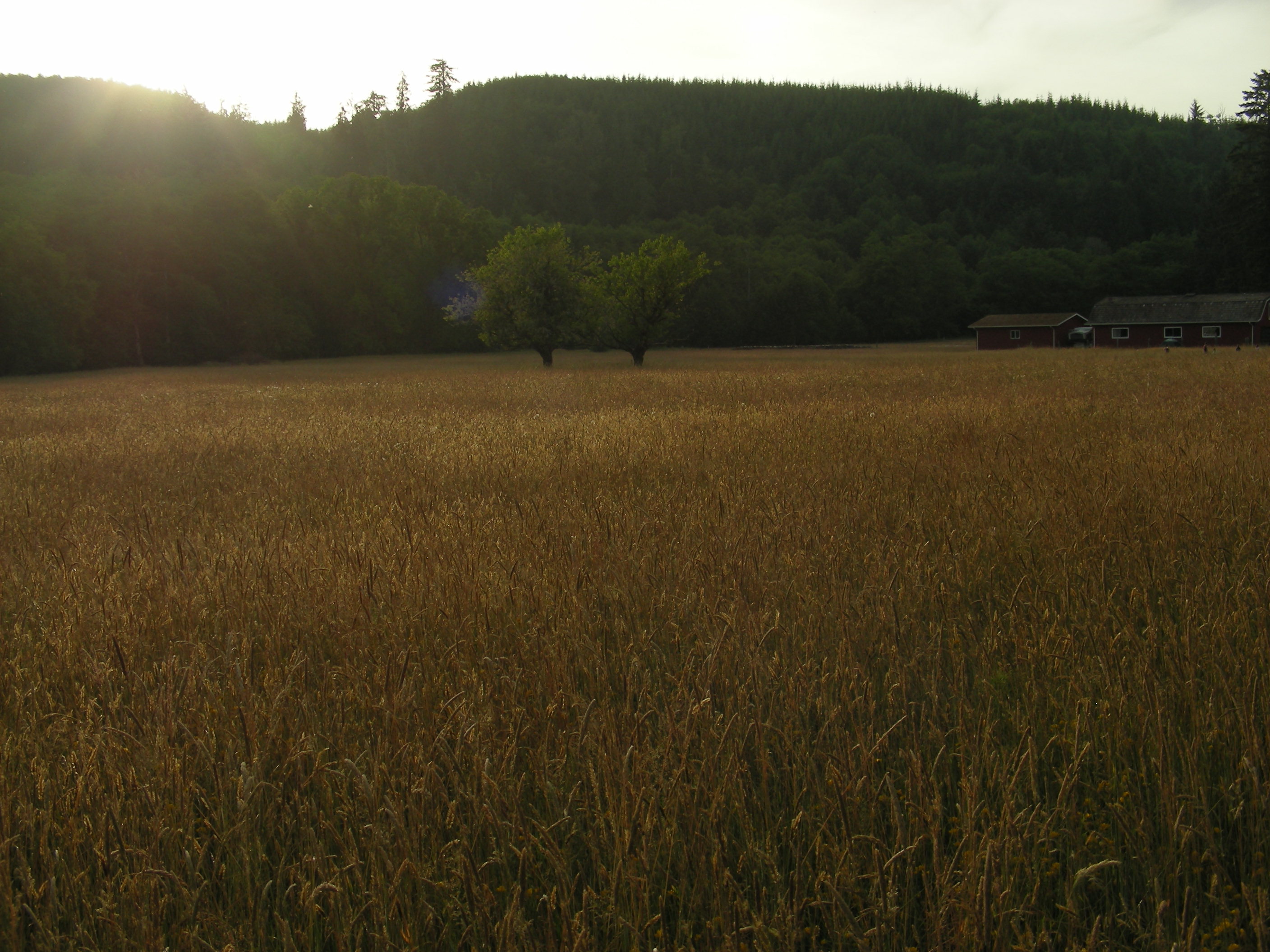
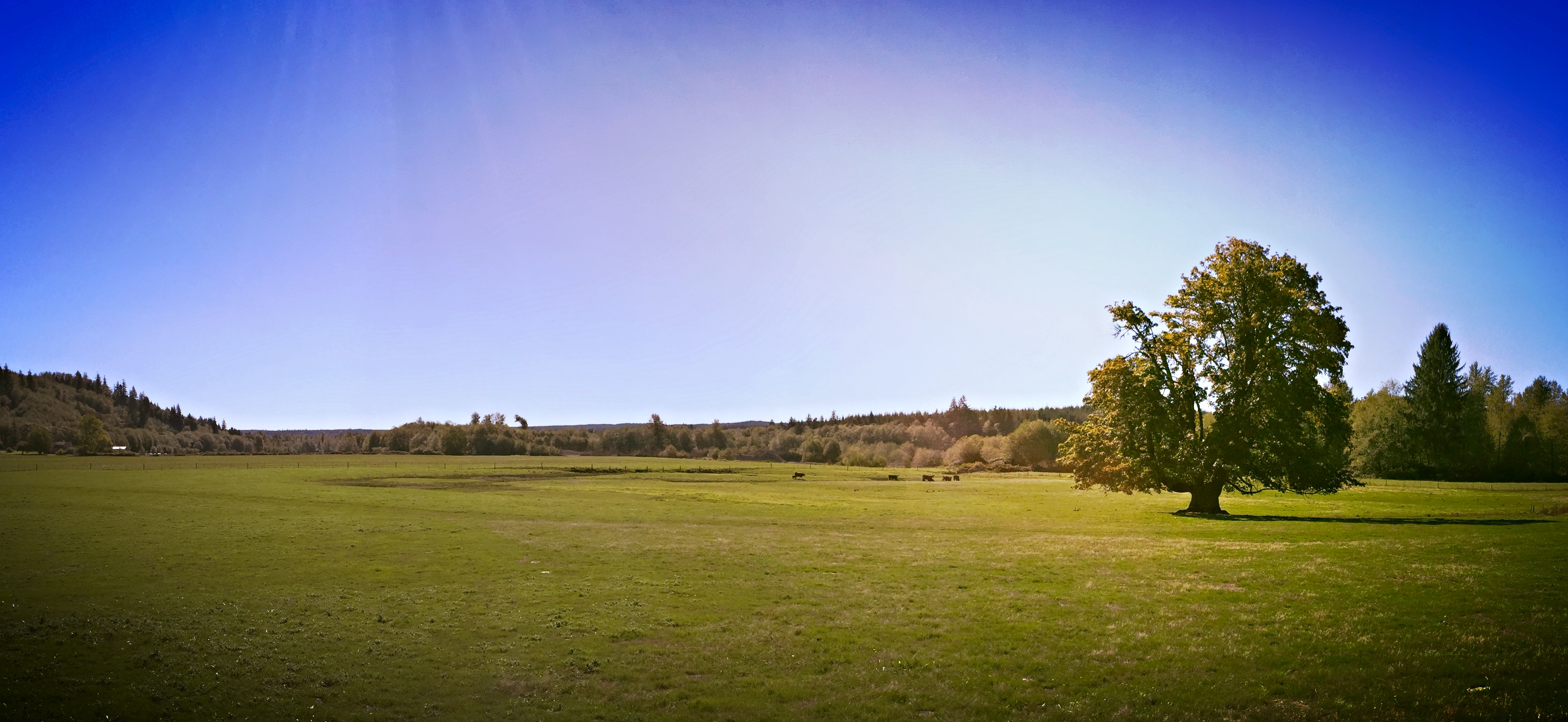
Farm field
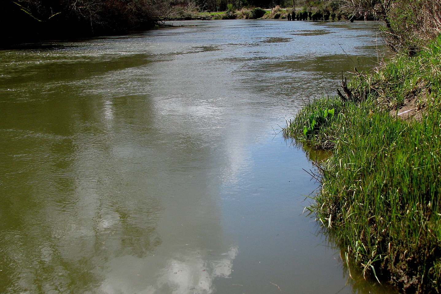
The Wishkah
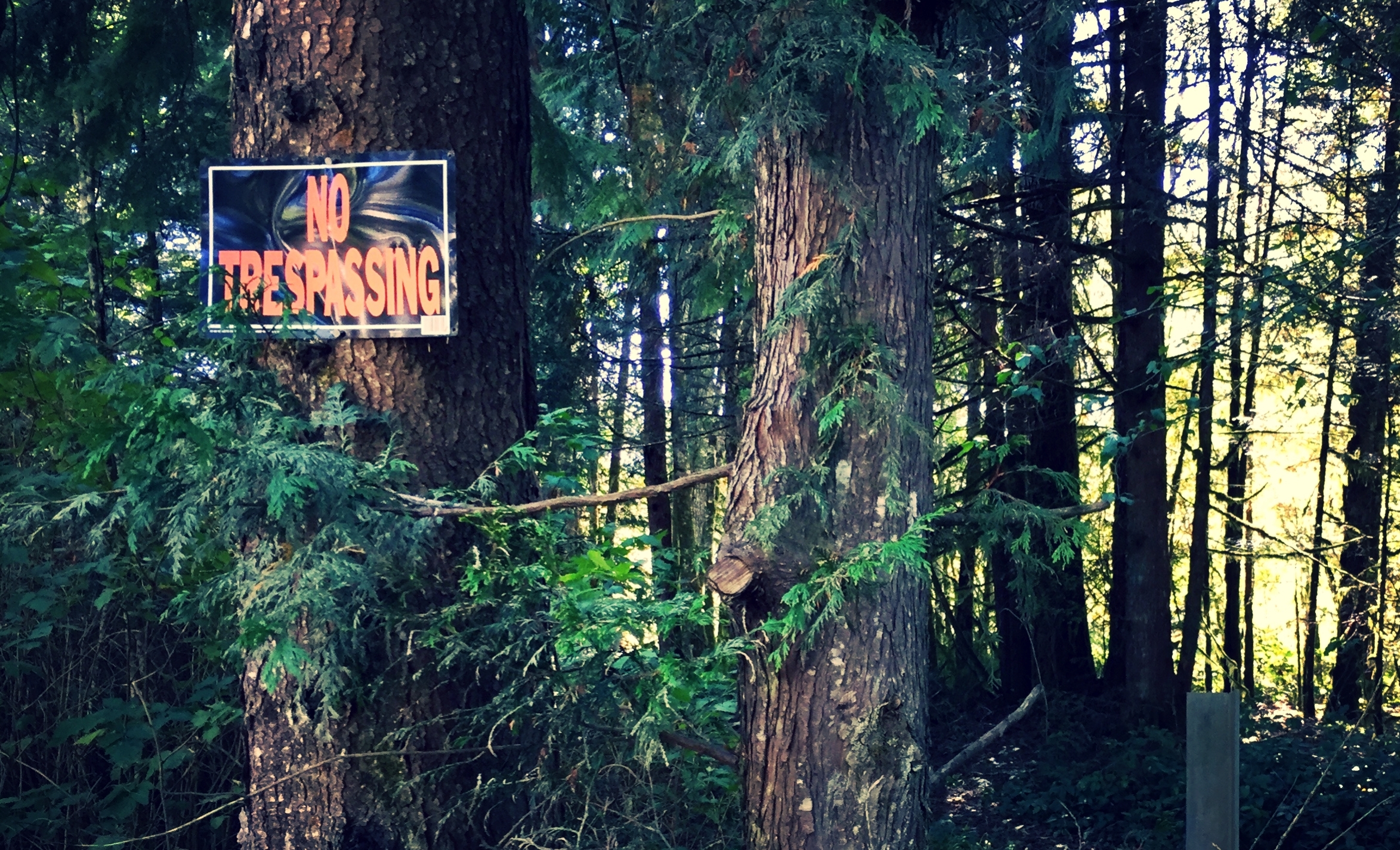
NO FRIGGIN TRESPASSING
Pristine land

DSC_0028.JPG
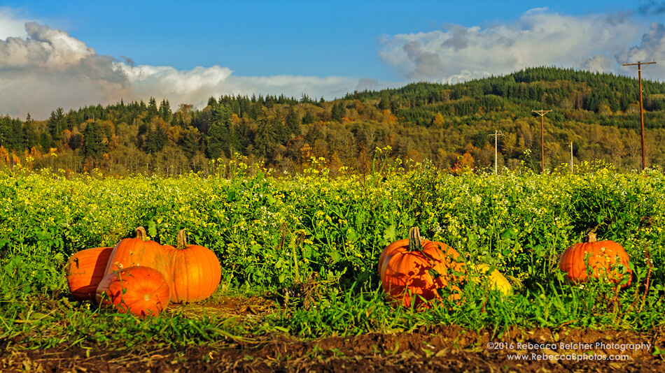
Shaffner Pumpkin Patch
Around Washington State
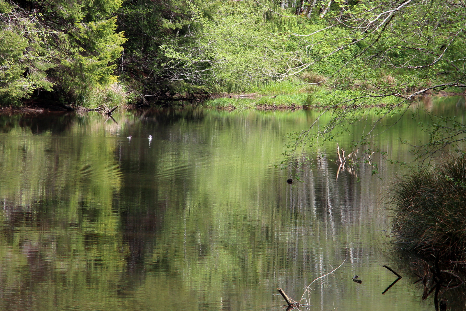
Ducks in your Water Glass
Topographic Map of Wishkah Rd, Aberdeen, WA, USA
Find elevation by address:

Places near Wishkah Rd, Aberdeen, WA, USA:
64 Leutz Rd
Middle Fork Hoquiam River
2740 Riverview Dr
1116 Olympic View Way
2699 Bench Dr
2216 Pershing St
2020 Laura St
1608 E Hoquiam Rd
708 2nd Ave
808 Stewart St
1203 E 1st St
422 3rd Ave
408 2nd Ave
423 2nd Ave
506 1st Ave
522 Burleigh Ave
909 E Market St
214 N C St
818 E Market St
514 N F St
Recent Searches:
- Elevation of Crocker Dr, Vacaville, CA, USA
- Elevation of Pu Ngaol Community Meeting Hall, HWHM+3X7, Krong Saen Monourom, Cambodia
- Elevation of Royal Ontario Museum, Queens Park, Toronto, ON M5S 2C6, Canada
- Elevation of Groblershoop, South Africa
- Elevation of Power Generation Enterprises | Industrial Diesel Generators, Oak Ave, Canyon Country, CA, USA
- Elevation of Chesaw Rd, Oroville, WA, USA
- Elevation of N, Mt Pleasant, UT, USA
- Elevation of 6 Rue Jules Ferry, Beausoleil, France
- Elevation of Sattva Horizon, 4JC6+G9P, Vinayak Nagar, Kattigenahalli, Bengaluru, Karnataka, India
- Elevation of Great Brook Sports, Gold Star Hwy, Groton, CT, USA