Elevation of Winter Ln, Castle Rock, WA, USA

Location: United States > Washington > Cowlitz County > Castle Rock >

Longitude: -122.86310

Latitude: 46.325211

Elevation: -10000m / -32808feet

Barometric Pressure: 295KPa

Elevation Map:

elevation map of Winter Ln, Castle Rock, WA, USA

Satellite Map:

Satellite map of Winter Ln, Castle Rock, WA, USA

Related Photos:

trees water river day165 day165365 365the2015edition 14jun15 3652015
Cowlitz River
summer nature sunrise landscape volcano washington cascades pacificnorthwest mtsthelens mountsainthelens
Mount Saint Helens
the view from Lacey Rha's Cafe (in the heart of Castle Rock)
birdsofwashington bird washingtonbirds warbler townsendswarbler setophagatownsendi
IMG_2646 Townsend's Warbler in Fir
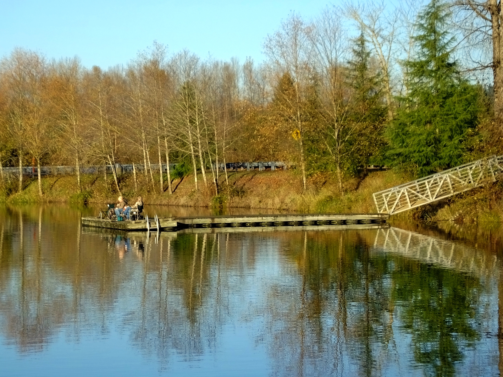
road trip travel tourism water st digital canon way eos rebel volcano washington nationalpark high highway scenery kiss open view side scenic roadtrip tourist hwy mount crater silverlake views landslide helens americana openroad interstate volcanoes roadside dslr washingtonstate mountsthelens 1980 volcanic range cascade eruption devastation castlerock xsi cascaderange mountsainthelens x2 offtheinterstate spiritlake redzone lavadome blastzone johnstonridge roadgeek mountsthelensnationalvolcanicmonument may18th coldwaterlake skamaniacounty kidvalley cowlitzcounty pumiceplain 450d openroads ontheopenroad spiritlakememorialhighway canoneos450d canoneosdigitalrebelxsi kissdigitalx2canon lilllypads stateroute504 landslidedeposit
Bridge and Pads
trees water river
Cowlitz River
road trip travel tourism st digital canon way eos rebel volcano washington high highway scenery kiss open view side scenic roadtrip tourist hwy mount crater silverlake views landslide helens americana openroad interstate volcanoes roadside dslr washingtonstate mountsthelens 1980 volcanic range cascade eruption devastation castlerock xsi cascaderange mountsainthelens x2 offtheinterstate spiritlake redzone lavadome blastzone johnstonridge roadgeek mountsthelensnationalvolcanicmonument may18th coldwaterlake skamaniacounty kidvalley cowlitzcounty pumiceplain 450d openroads ontheopenroad spiritlakememorialhighway canoneos450d canoneosdigitalrebelxsi kissdigitalx2canon stateroute504 landslidedeposit
Fly Dragon, fly!
road trip travel tourism sign digital canon way eos rebel restaurant high highway scenery kiss open view side scenic roadtrip tourist hwy views americana openroad interstate roadside dslr xsi x2 offtheinterstate roadgeek 450d openroads ontheopenroad canoneos450d canoneosdigitalrebelxsi kissdigitalx2canon exit49 peppers49er
The 49er
road trip travel tourism st digital canon way eos rebel volcano washington high highway scenery kiss open view side scenic roadtrip tourist hwy mount crater silverlake views landslide helens americana openroad interstate volcanoes roadside dslr washingtonstate mountsthelens 1980 volcanic range cascade eruption devastation castlerock xsi cascaderange mountsainthelens x2 offtheinterstate spiritlake redzone lavadome blastzone johnstonridge roadgeek mountsthelensnationalvolcanicmonument may18th coldwaterlake skamaniacounty kidvalley cowlitzcounty pumiceplain 450d openroads ontheopenroad spiritlakememorialhighway canoneos450d canoneosdigitalrebelxsi kissdigitalx2canon stateroute504 landslidedeposit
Through the trees
road trip travel tourism sign digital canon vintage way eos rebel high highway scenery kiss neon open view side scenic motel roadtrip tourist hwy views americana openroad interstate roadside dslr xsi motelsign x2 offtheinterstate roadgeek 450d motel7 openroads ontheopenroad canoneos450d canoneosdigitalrebelxsi kissdigitalx2canon
A step up from Motel 6
coffee retail menu geotagged washington northwest pacificnorthwest wa washingtonstate rk coffeestand rksolo wa07 geo:tool=gmif or07 random6 thecoffeecabin geo:lat=46287006 geo:lon=122899922
The Coffee Cabin
mountsthelens washington
Mount St. Helens
road trip travel food tourism digital canon way eos rebel yummy high highway scenery kiss open view drink side scenic roadtrip tourist hwy views americana openroad interstate roadside dslr milkshake xsi x2 offtheinterstate roadgeek 450d openroads ontheopenroad canoneos450d canoneosdigitalrebelxsi kissdigitalx2canon
1,500 calories
2014365
2014/365/295 Can See Awesome From Here
favorite sunrise silverlake washingtonstate mountsthelens castlerock blueheroninn
Volcano sunrise 2
road trip travel lake flower tourism st digital canon silver way eos rebel volcano washington high highway scenery kiss open view purple side scenic roadtrip tourist hwy mount crater silverlake views landslide helens americana openroad interstate volcanoes roadside dslr washingtonstate mountsthelens 1980 volcanic range cascade eruption devastation castlerock xsi cascaderange mountsainthelens x2 offtheinterstate spiritlake redzone lavadome blastzone johnstonridge roadgeek mountsthelensnationalvolcanicmonument may18th coldwaterlake skamaniacounty kidvalley cowlitzcounty pumiceplain 450d openroads ontheopenroad spiritlakememorialhighway canoneos450d canoneosdigitalrebelxsi kissdigitalx2canon stateroute504 landslidedeposit
Swamp Flower
trees usa mountains nature river landscape volcano washington valley cascades mountsthelens nationalmonument mtsthelens cascademountains toutleriver mountsthelensnationalvolcanicmonument southcascades northforktoutleriver hoffstadtbluffsvisitorcentre
Mount St. Helens
mountain lake monument nature outdoors volcano washington natural mount silverlake wetlands geology sthelens visitorcenter g11 snowcap 2011 jbtuohy
Mount St. Helens
sunrise silverlake washingtonstate mountsthelens castlerock blueheroninn
Volcano sunrise 7
silverlake washingtonstate mountsthelens castlerock blueheroninn
View from bed
mountain lake monument nature outdoors volcano washington natural mount silverlake wetlands geology sthelens visitorcenter g11 snowcap 2011 jbtuohy
Mount St. Helens
rainier sthelens toledowashington washington pacific northwest southrmstudio
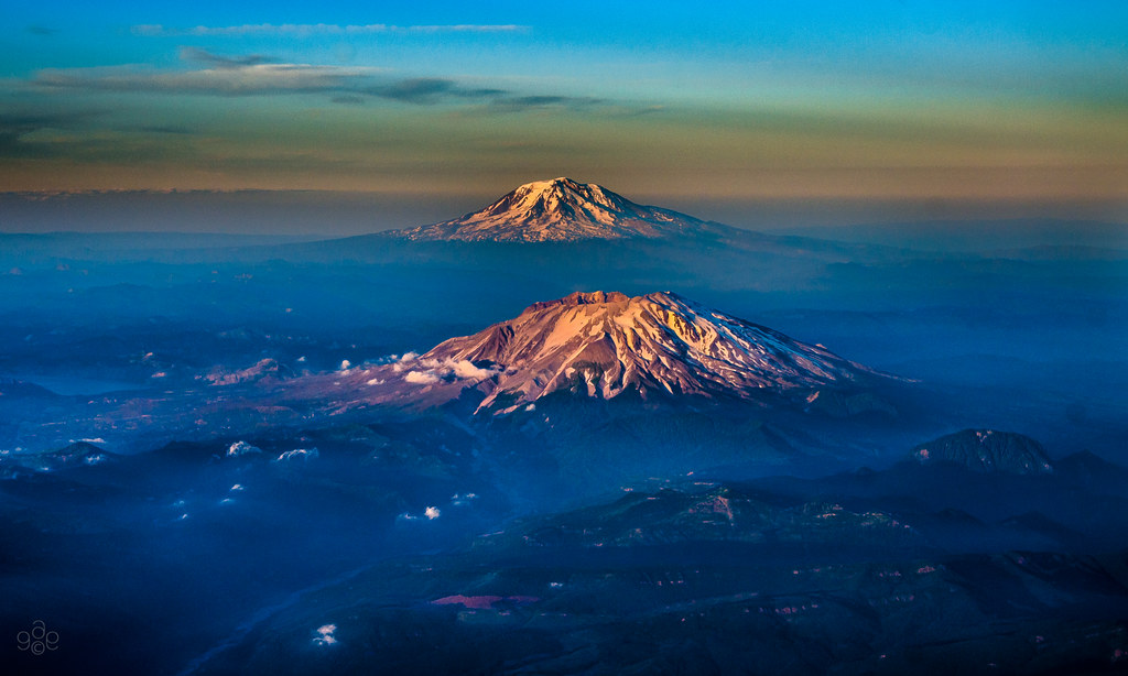
Mt Rainier and Mt St Helens
fall fallcolour olequa creek river vadar castle rock washington pacificnorthwest southarmstudio
Olequa Creek
perspective colors white ground blue start mouth reflecting reflection northwest nature curves bend clouds horizon skyline sky sunlight sun west coast ocean pacific land water or wa flyover flying geography overhead flight above altitude washington vancouver oregon portland columbiariver
The Mighty Columbia
Toutle Valley
northforkofthetoutle rainier toutlerivervalley toutle sthelensnationalmonument washington southarmstudio
North fork of the Toutle and Rainier
plants nature washington cattails silverlake
September Cattails
goldenhour day331 day331365 365the2015edition 3652015 27nov15
The Old Fishing Hole
blue landscape washington twilight unitedstates fav50 fav20 bluehour fav30 mtsthelens goldenhour kelso aeriallandscape fav10 fav40
Sighting from St Helens to Adams
old building sepia canon washington cabin post barbedwire t4i 1riverat merchantroadhomestead matthewreichel
Merchant Road Homestead sepia
cloud contrast dark light reflection tree water toledo washington
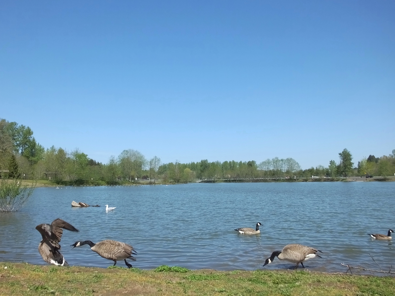
South County Park Pond
field toledo abandonedvehicle
Standing in a Field
waterfall castlrock washington southarmstudio
Roadside falls
washington unitedstates debris fav20 silverlake fav30 mtsthelens trough aeriallandscape pyroclastic deltaairlines fav10 toutleriver mudflow horizonair may181980
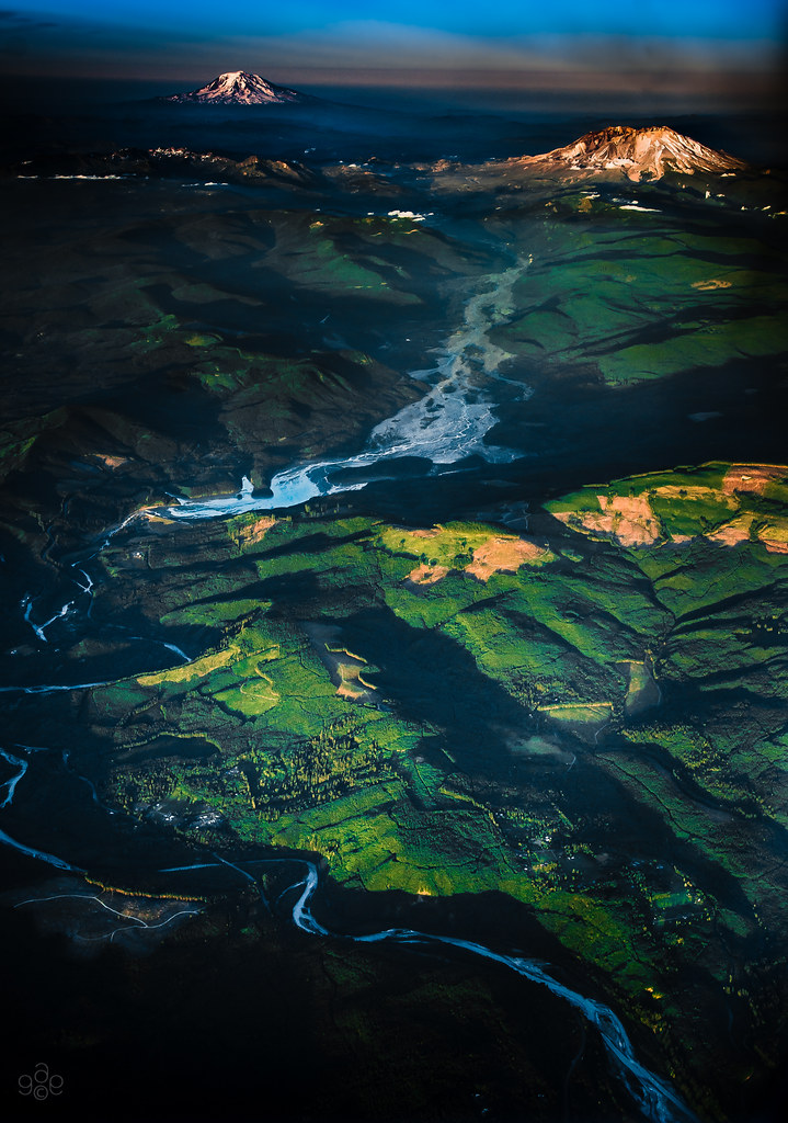
The Toutle River: Mt St Helens' pyroclastic debris drain
water goose waterfowl canadagoose image25100 100xthe2016edition 100x2016
Go away! She's mine!!!
texture field truck toledo crisbuscaglialenz
Hidden in the Grass
landscape washington day outdoor toledo project365
312/365: The Cusp of Magic
statepark trees usa lake mountains nature landscape volcano washington silverlake cascades mountsthelens nationalmonument mtsthelens cascademountains mountsthelensnationalvolcanicmonument southcascades mountsthelensvisitorcentre seaqueststatepark
Mount St. Helens