Elevation of Wingina, VA, USA
Location: United States > Virginia > Nelson County > Lovingston >
Longitude: -78.723903
Latitude: 37.6398652
Elevation: 111m / 364feet
Barometric Pressure: 100KPa
Elevation Map:
Satellite Map:
Related Photos:

Store at Mt. Rush 2
Store at Mt. Rush 4
Store at Mt. Rush 3

Store at Mt. Rush 6
Store at Mt. Rush 5

Store at Mt. Rush 1

Running on Empty
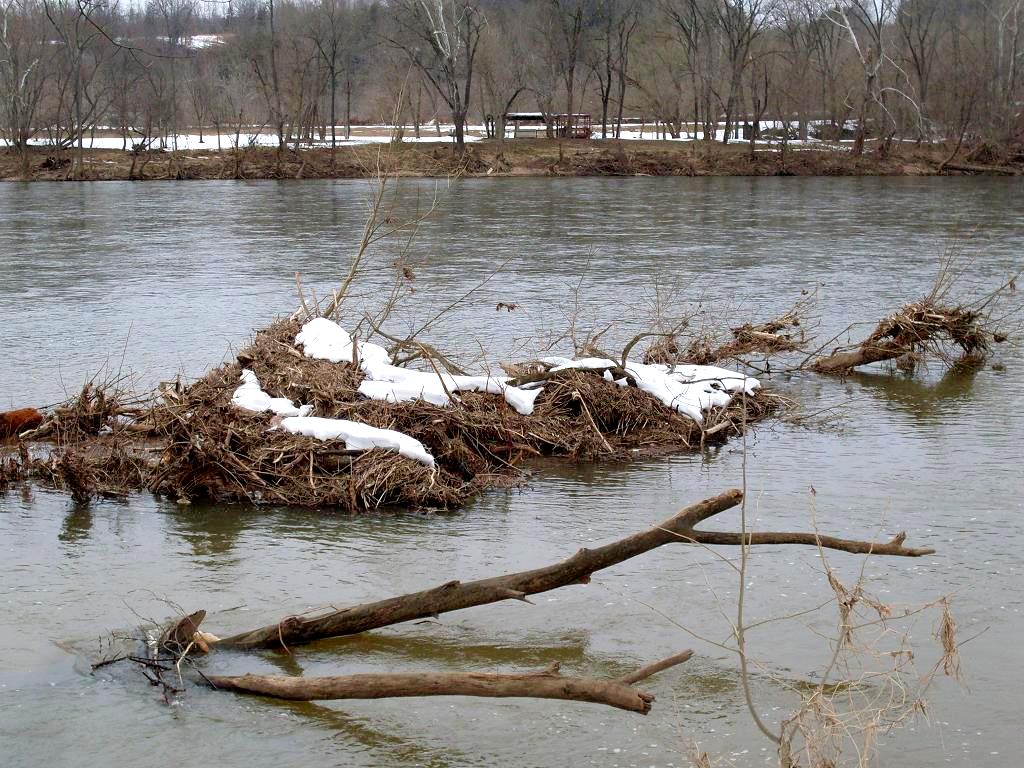
James River Debris
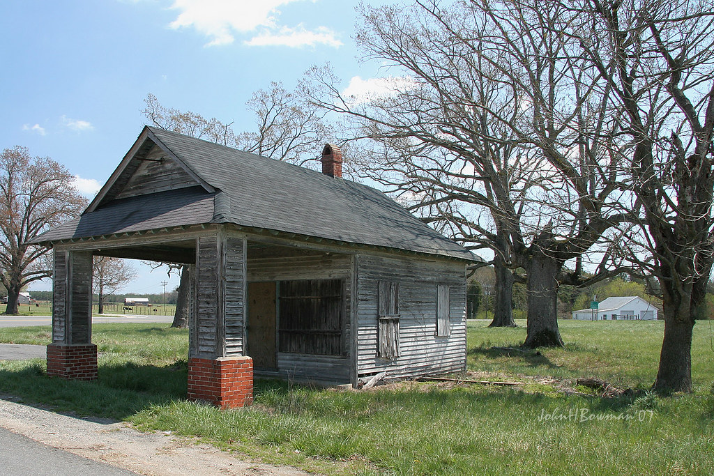
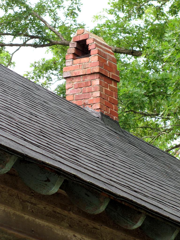
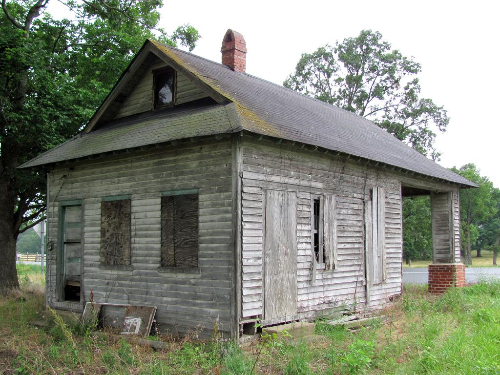
Old Gas Station, Another View

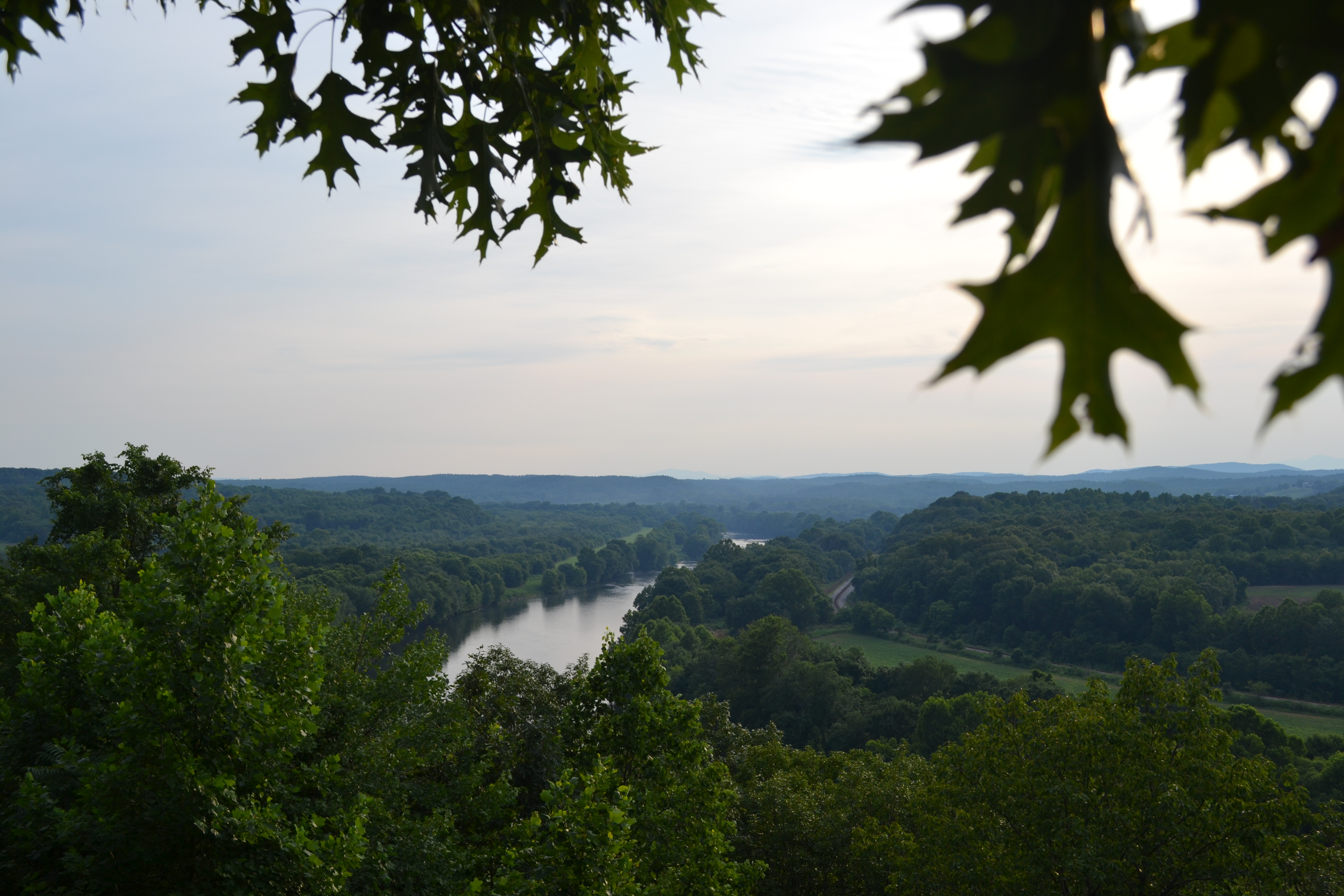
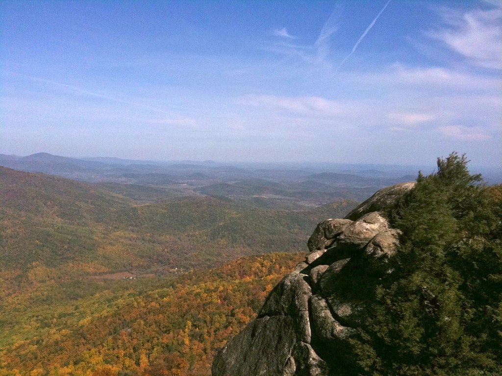
Views from the Rocks

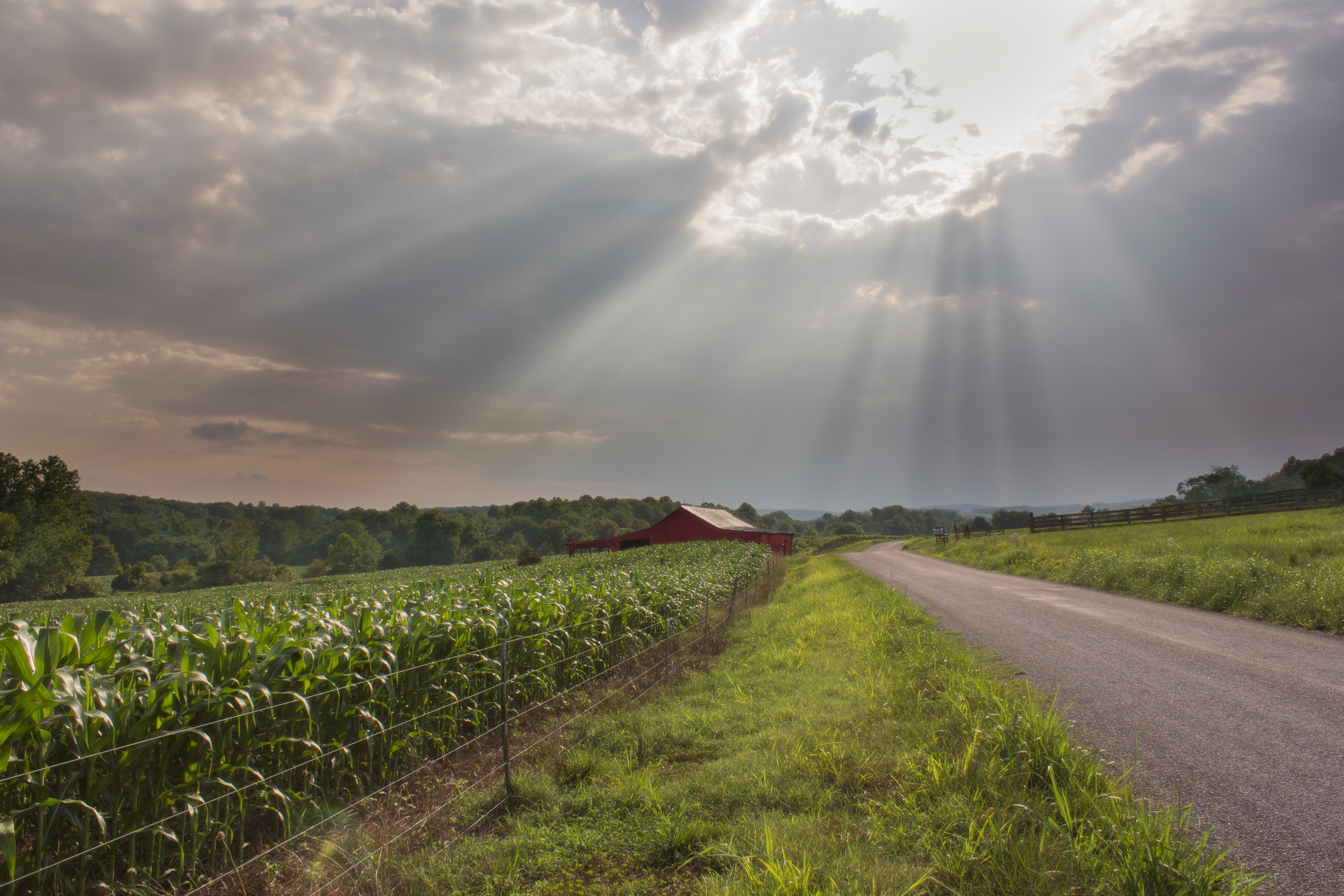
Sundown at Wingina
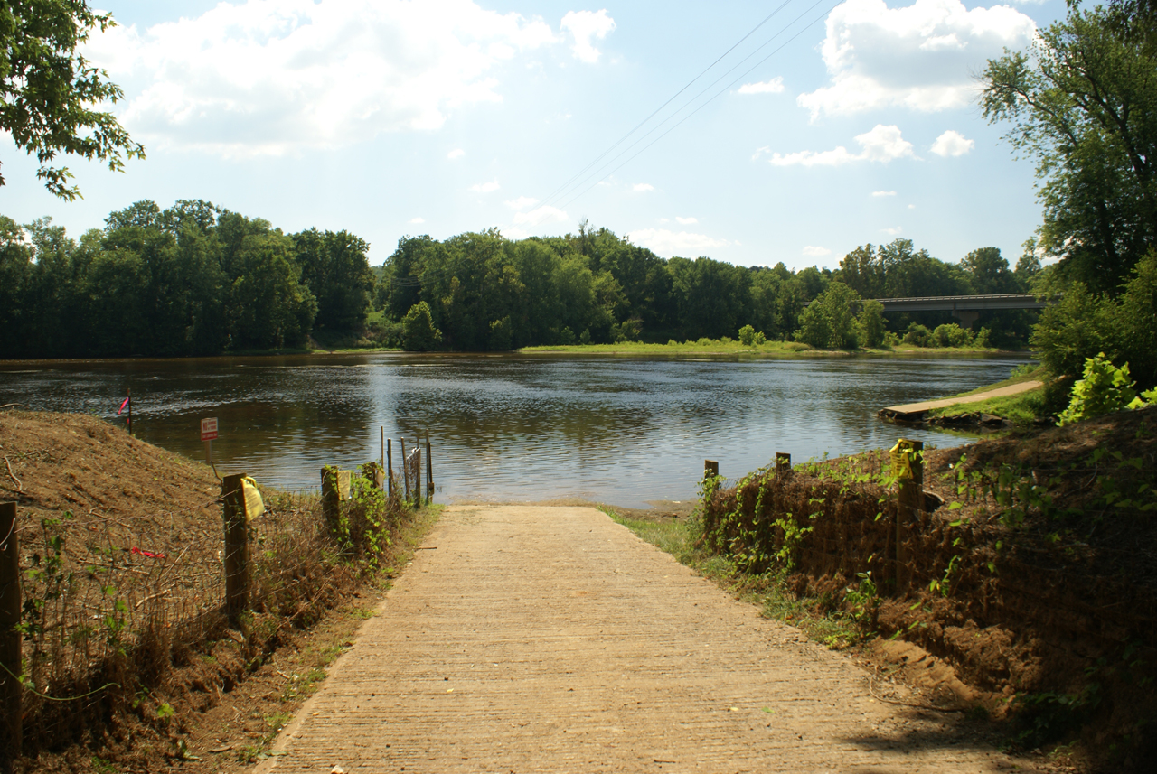
Baber's Landing
Buckingham, VA 028
George Lodge 32, Howardsville
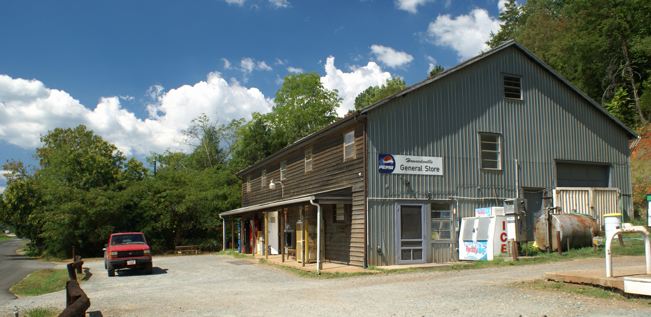
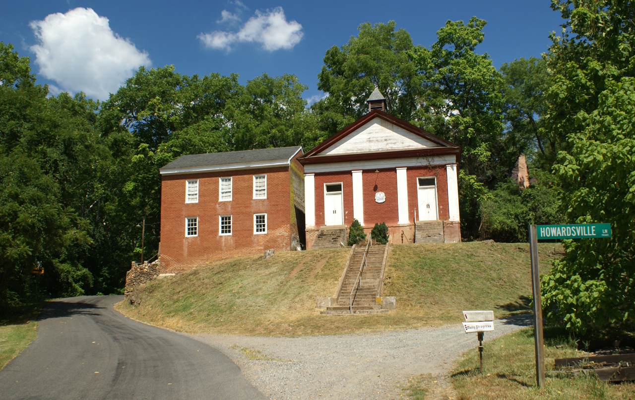
Howardsville General Store

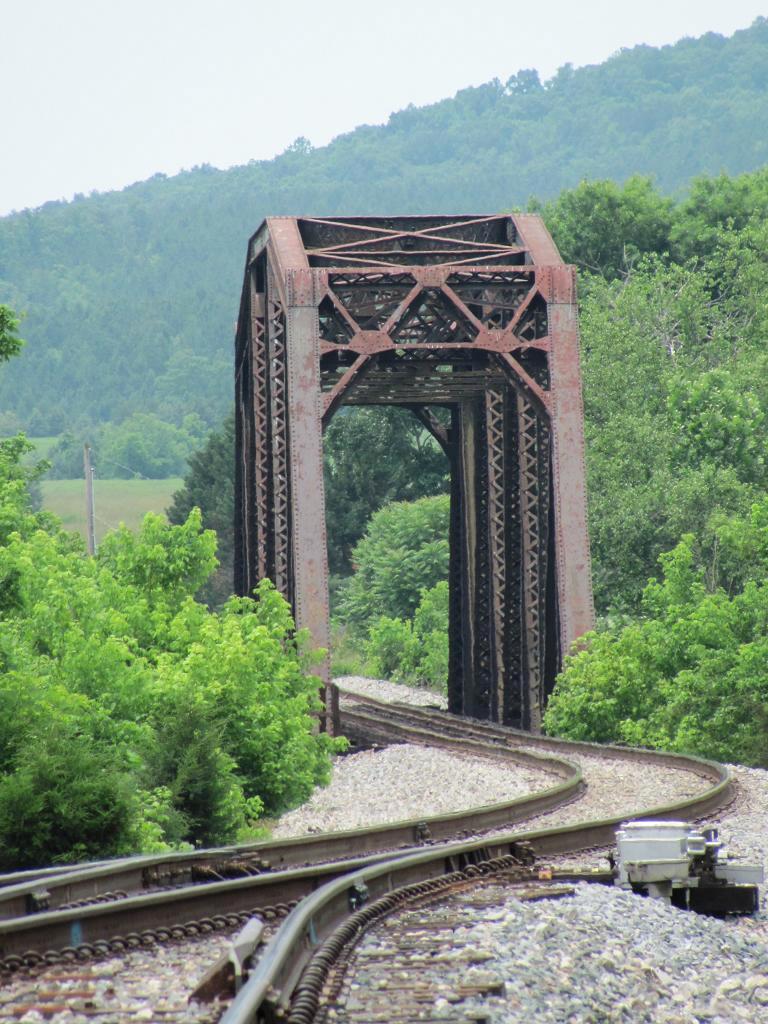
Howardsville Tracks

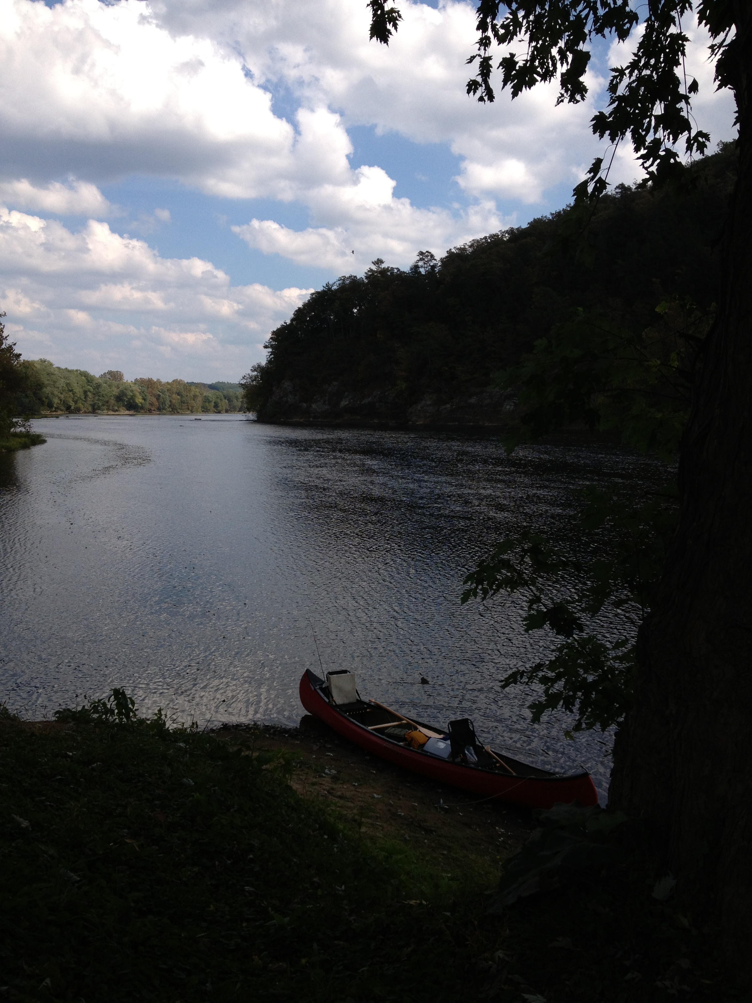
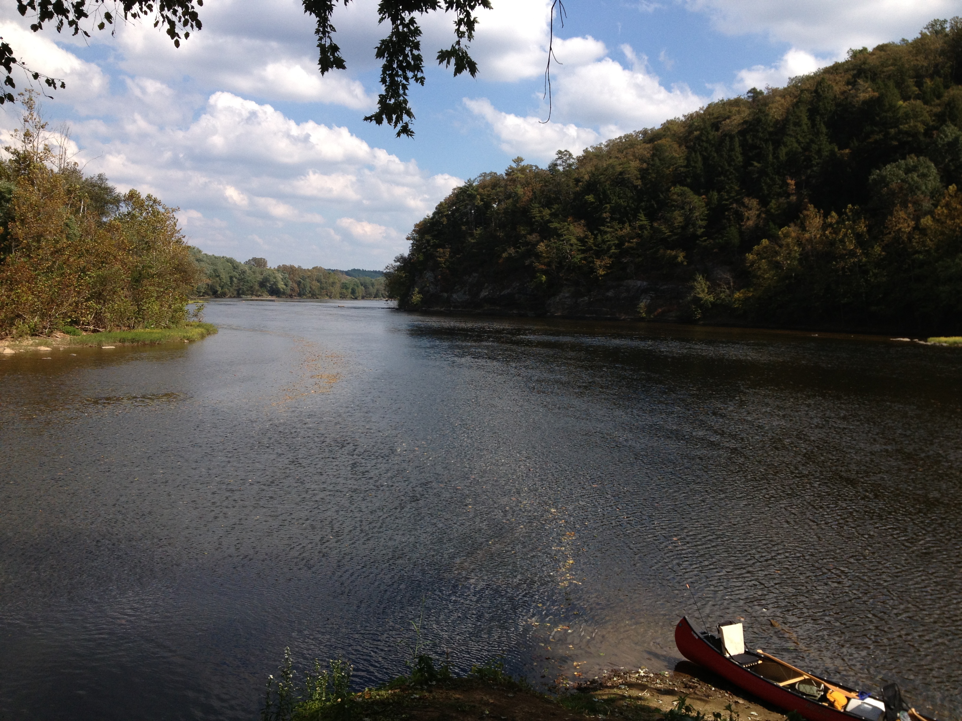
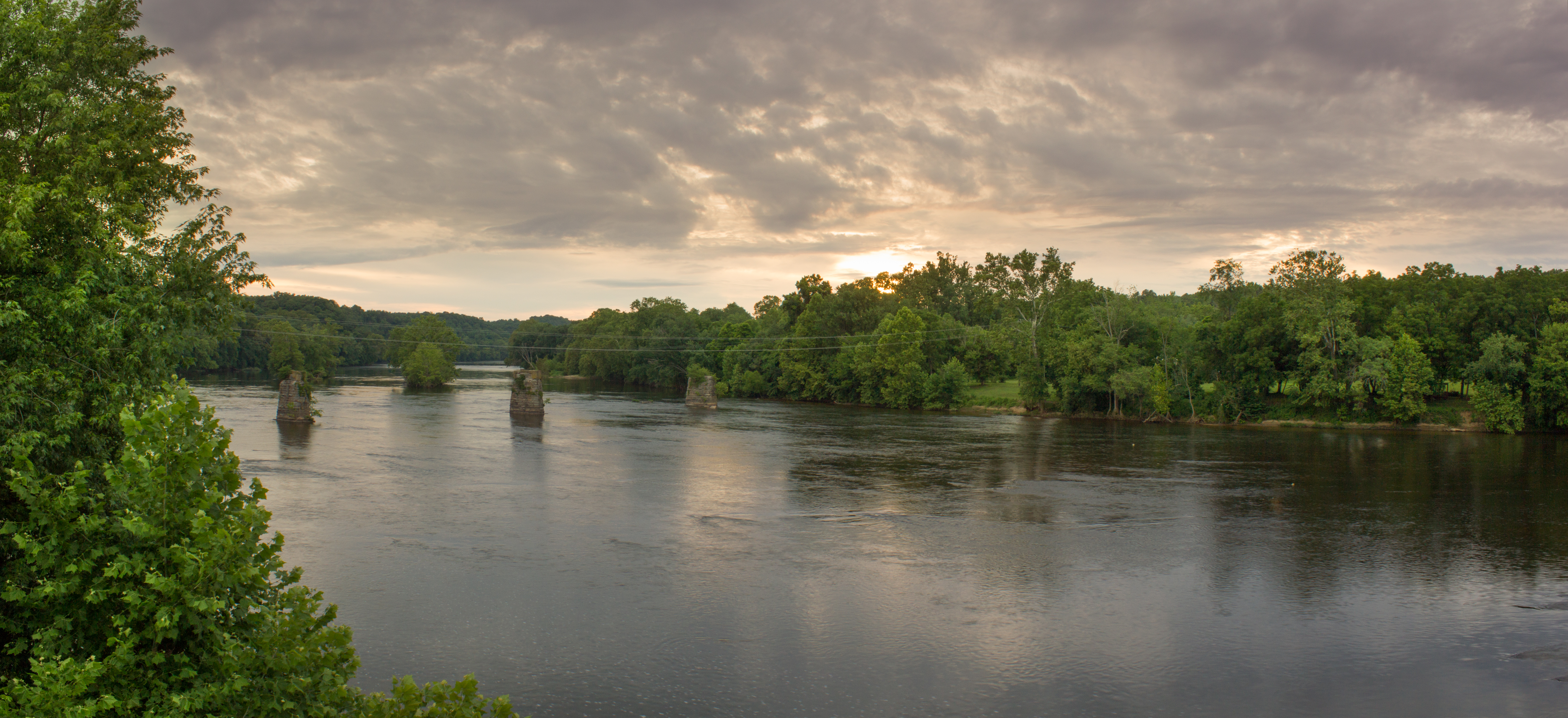
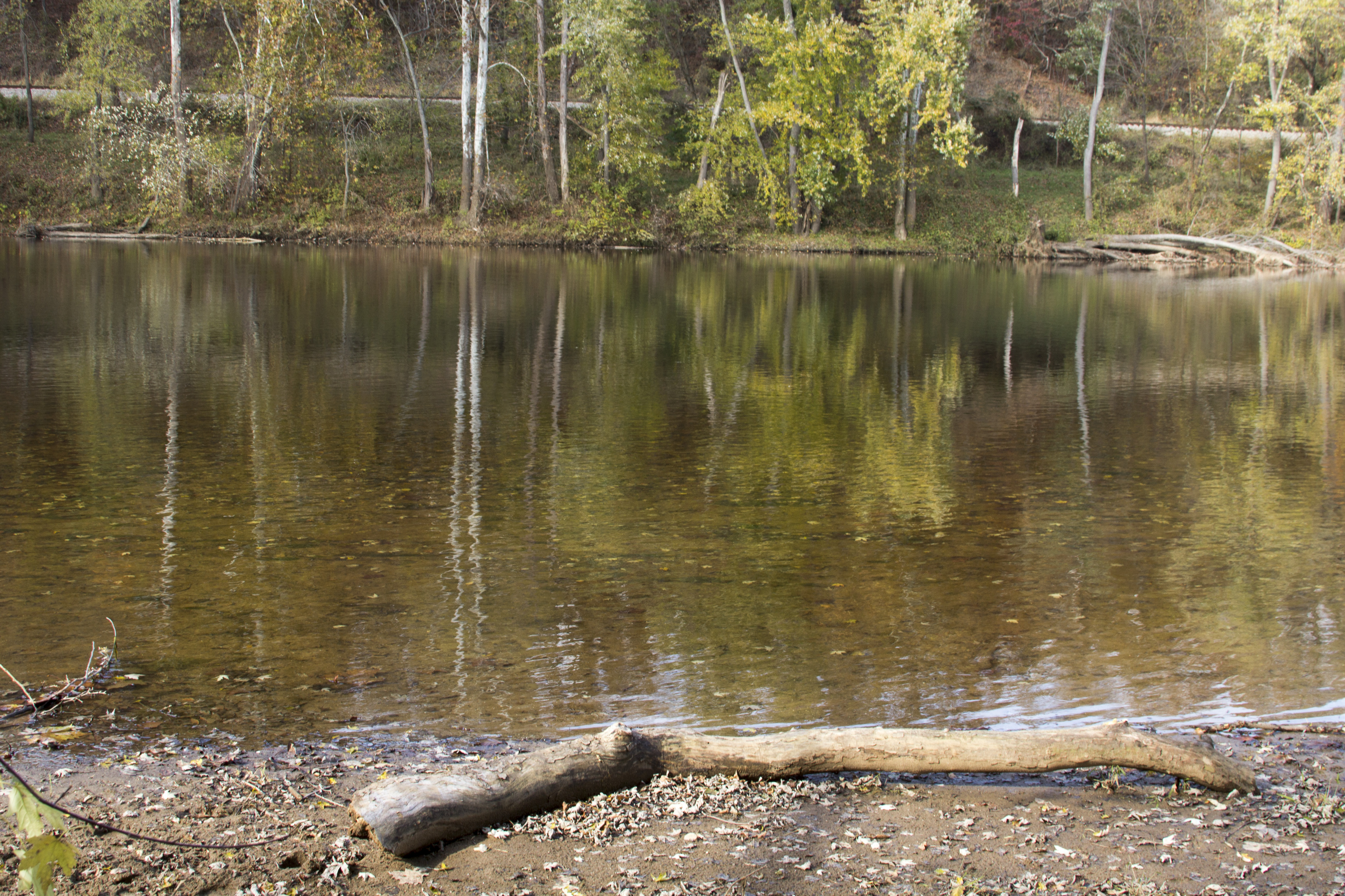
James River

James River

View.

#AvonHill #Howardsville #AppalachianTrail #RockFish #Valley #Landscape #Thursday #Hike #Travel #Explore #Adventure #Instatravel
Railroad Bridge, Norwood

#FamilyTies #Virginia #Happy #GoodTimes #Instafamily #Saturday #May #2014 #FamilyPicture #Appalachian #Mountains
2013-10-06 13.38.21
2013-10-06 13.36.15

Fall Foliage - James River State Park, Gladstone, VA
Dolan's Farm at Norwood

Oak Ridge Estate sunset
Crossing the James at Bent Creek
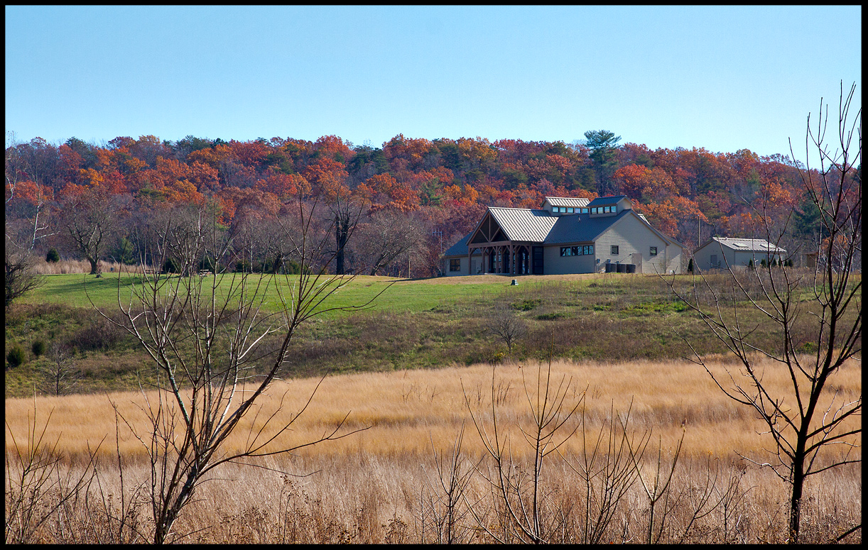
Visitor's Center @ James River State Park Nov 11
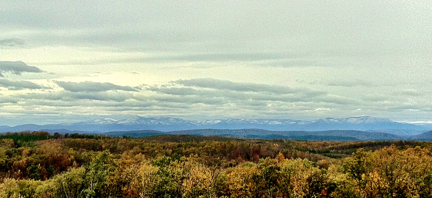
There's Snow On Them Hills
The James River

Lockin 2013

The James River at James River State Park

James River State Park

James River State Park
...and Higher
Topographic Map of Wingina, VA, USA
Find elevation by address:

Places near Wingina, VA, USA:
1843 Cabell Rd
841 Woodland Church Rd
Manteo Rd, Buckingham, VA, USA
3927 Firehouse Rd
Cabell Rd, Howardsville, VA, USA
Howardsville
Howardsville
Howardsville
Howardsville
Howardsville
Howardsville
Howardsville
Howardsville
Howardsville
Howardsville
Howardsville
Howardsville
Howardsville
Howardsville
Howardsville
Recent Searches:
- Elevation of Felindre, Swansea SA5 7LU, UK
- Elevation of Leyte Industrial Development Estate, Isabel, Leyte, Philippines
- Elevation of W Granada St, Tampa, FL, USA
- Elevation of Pykes Down, Ivybridge PL21 0BY, UK
- Elevation of Jalan Senandin, Lutong, Miri, Sarawak, Malaysia
- Elevation of Bilohirs'k
- Elevation of 30 Oak Lawn Dr, Barkhamsted, CT, USA
- Elevation of Luther Road, Luther Rd, Auburn, CA, USA
- Elevation of Unnamed Road, Respublika Severnaya Osetiya — Alaniya, Russia
- Elevation of Verkhny Fiagdon, North Ossetia–Alania Republic, Russia