Elevation of Winchester Rd, Irvine, KY, USA
Location: United States > Kentucky > Estill County > Irvine >
Longitude: -84.068248
Latitude: 37.816469
Elevation: 224m / 735feet
Barometric Pressure: 99KPa
Elevation Map:
Satellite Map:
Related Photos:

Organ 2

County Wall

On Pilot Knob.

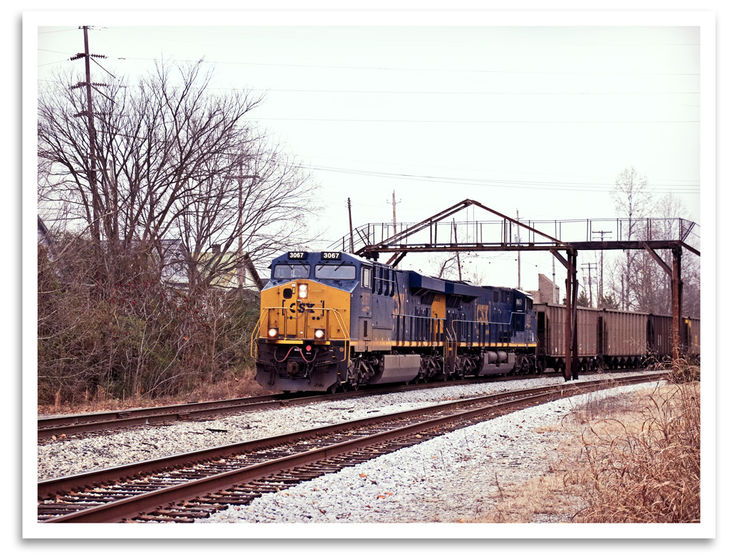
Kudzu Railroad
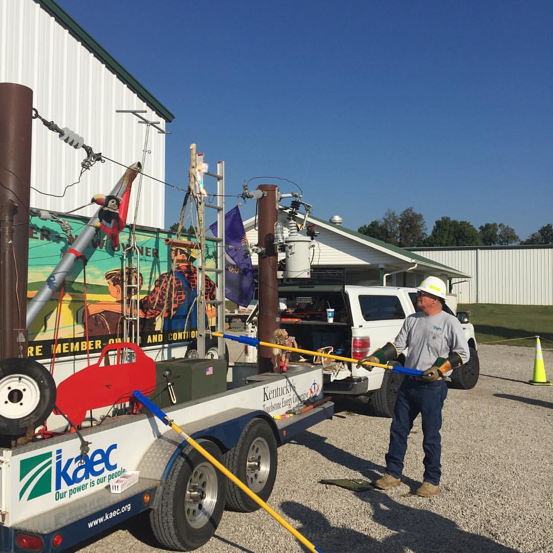
Power lines and Aluminum ladders
Ravenna Arrival
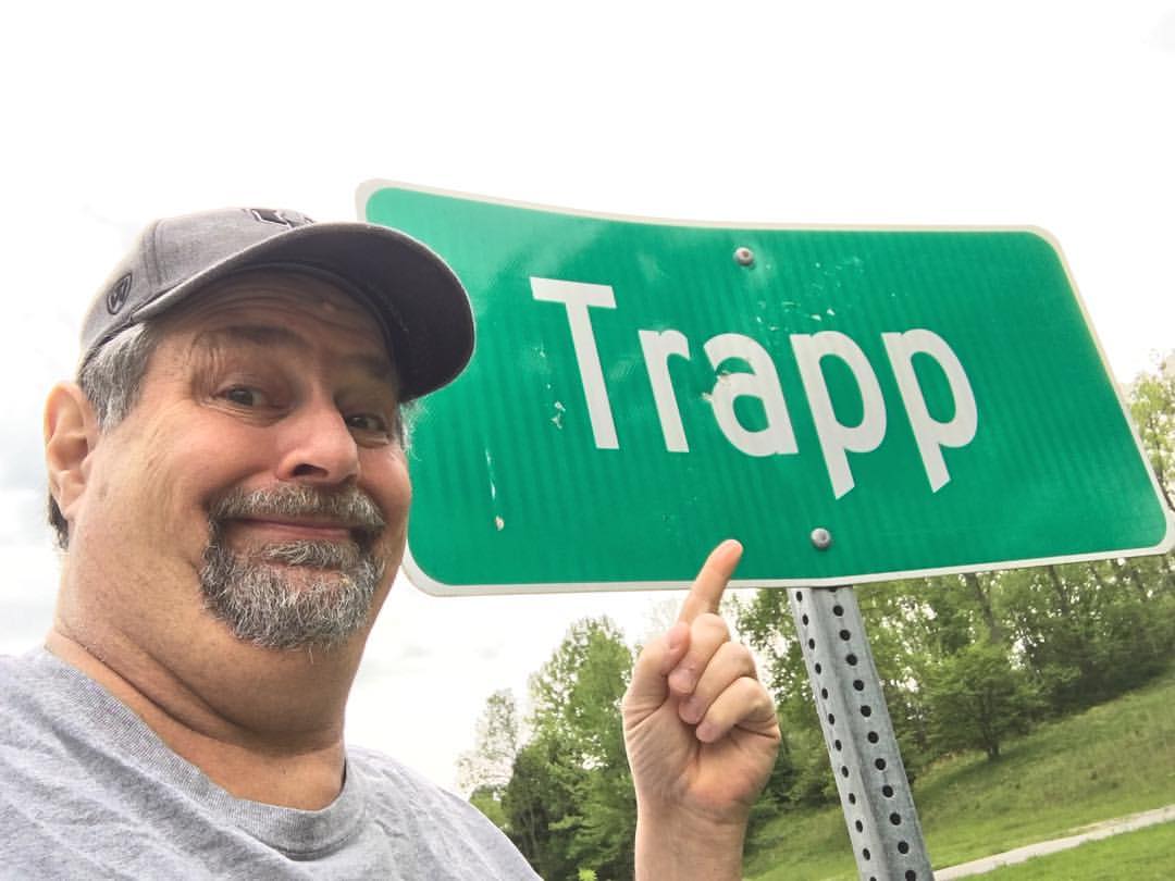
Watch out!! It's a Trapp! #miniroadtrip #staycation #kentucky89 #travel #roadtrip #backroads

Surprise!

IMAG0040.jpg

IMAG0039.jpg

IMAG0038.jpg

IMAG0037.jpg

IMAG0039.jpg

IMAG0038.jpg

IMAG0037.jpg

Three Weeks

Mack Theatre

Carve Don't Chop
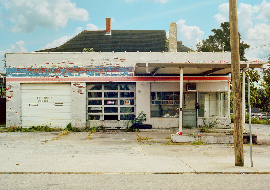
Gas Station

Looking West........

Looking East.........
Topographic Map of Winchester Rd, Irvine, KY, USA
Find elevation by address:

Places near Winchester Rd, Irvine, KY, USA:
Winchester Rd, Irvine, KY, USA
2540 College Hill Rd
11820 Ky-89
Trapp Goffs Corner Rd, Winchester, KY, USA
160 Agawam Rd
Old Ruckerville Rd, Winchester, KY, USA
443 Walker Parke Rd
Clark County
Ford Hampton Rd, Winchester, KY, USA
Old Boonesboro Rd, Winchester, KY, USA
Kentucky
Athens Boonesboro Rd, Winchester, KY, USA
Boonesborough
Athens Boonesboro Rd, Winchester, KY, USA
614 Cherry Trace Dr
146 Aishlins Ct
Combs Ferry Rd, Winchester, KY, USA
280 Shermans Ln
Carr Lane
Port Royal Drive
Recent Searches:
- Elevation of Leguwa, Nepal
- Elevation of County Rd, Enterprise, AL, USA
- Elevation of Kolchuginsky District, Vladimir Oblast, Russia
- Elevation of Shustino, Vladimir Oblast, Russia
- Elevation of Lampiasi St, Sarasota, FL, USA
- Elevation of Elwyn Dr, Roanoke Rapids, NC, USA
- Elevation of Congressional Dr, Stevensville, MD, USA
- Elevation of Bellview Rd, McLean, VA, USA
- Elevation of Stage Island Rd, Chatham, MA, USA
- Elevation of Shibuya Scramble Crossing, 21 Udagawacho, Shibuya City, Tokyo -, Japan